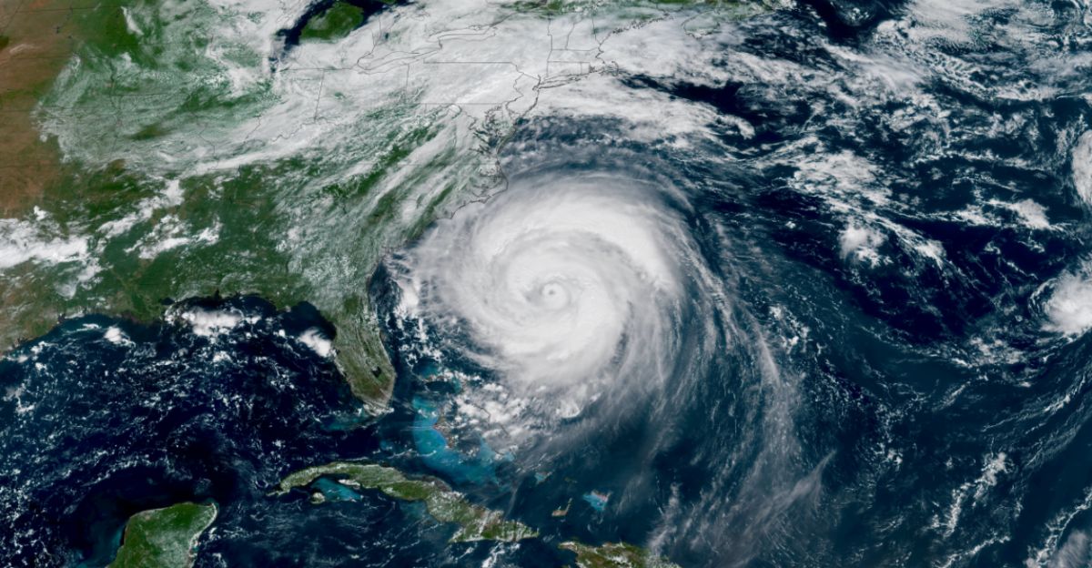
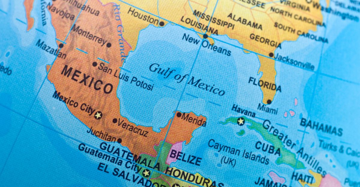
The Gulf of Mexico’s waters are now running at average temperatures of 86°F, with some areas even warmer, close to historic records. This exceptional warmth is not surface-deep; heat has penetrated to greater depths, creating conditions where the entire upper ocean becomes a reservoir of energy for developing storms.
According to a NOAA-backed study, the Gulf’s sea surface temperature increased by about 1.8°F between 1970 and 2020, a rate twice as fast as global ocean warming.
What Is Rapid Intensification?
Rapid intensification is a meteorological process in which a tropical cyclone dramatically strengthens in a short period. It is most commonly defined as an increase in the maximum sustained winds of a tropical storm by at least 30 knots (around 35 mph) within 24 hours.
This process can last longer than a day, but the 24-hour benchmark is widely used by forecasting agencies such as the U.S. National Hurricane Center (NHC) to identify rapid intensification events. About 20-30% of all tropical cyclones undergo rapid intensification, and it is especially common among the strongest storms, with a majority of those reaching peak winds exceeding 110 mph experiencing it.
A ‘Rocket Fuel’ Scenario
Water temperatures in much of the Gulf have climbed into the upper 80s to low 90s Fahrenheit. This temperature is both record-setting and deeply concerning to hurricane forecasters, as these warm upper layers are matched by reservoirs of heat that stretch downward, providing energy not just at the surface, but throughout a significant depth of the ocean.
“We look not only at sea surface temperatures, but also well down below the surface to reveal the true ocean heat content,” said Alex DaSilva, AccuWeather’s lead hurricane expert. “Rapid intensification in the Gulf allows less time to prepare compared to storms strengthening in the central Atlantic,”
Quiet Summer, Dangerous Autumn

From late August through mid-September 2025, hurricane activity significantly declined, a rare situation considering this is typically the peak period for tropical storms. Meteorologists attribute this lull to a combination of dry, stable air, increased wind shear, and fewer thunderstorm systems emerging from West Africa.
However, history and current forecasts indicate that such lulls can abruptly end as ocean and atmospheric conditions shift with the season. These pauses are not new, similar lulls have preceded late surges in hurricane activity, sometimes leading to catastrophic late-season storms like Hurricane Milton in October 2024.
Growing Storm Forecasts
NOAA’s official seasonal outlook highlights a 60% chance of an above-normal hurricane season, compared to just 30% for a near-normal season and a mere 10% for a quieter-than-average year. Meteorologists estimate there will be between 13 and 19 named storms, of which 6 to 10 are expected to become hurricanes, and 3 to 5 of those potentially escalating to major hurricane status, Category 3 or higher, with wind speeds surpassing 111 mph.
ENSO-neutral conditions (neither El Niño nor La Niña) combined with forecasts for weak wind shear further support strong storm formation and intensification. The West African Monsoon is also expected to be more robust, another ingredient that increases the chances of powerful tropical waves evolving into hurricanes.
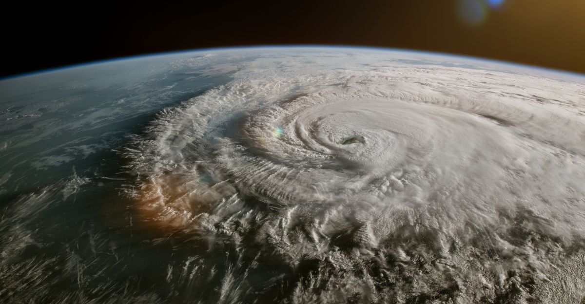
Hurricanes Can ‘Explode’ Overnight
Hurricane Erin was a clear and alarming example of how quickly these storms can turn into a threat. At 11 a.m. on a Friday, Erin was just a Category 1 hurricane with maximum sustained winds of 75 mph. Barely 24 hours later, it was a fierce Category 5 with winds near 160 mph.
This isn’t a new revelation. In recent years, storms such as Hurricane Lee in 2023 and Hurricane Helene in 2024 experienced similar bursts of intensification, sometimes just before landfall, catching coastal communities and forecasters off guard.
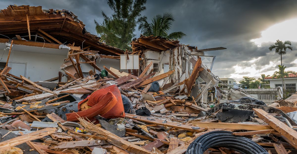
Real-Life Impacts From Recent Years
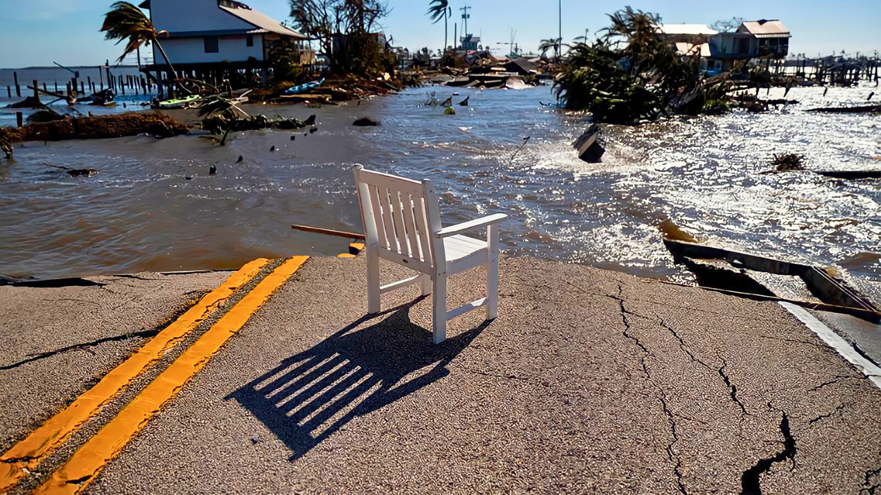
Recent years have witnessed hurricanes in the Gulf of Mexico intensifying at an alarming rate, producing devastating real-life impacts across multiple states and communities. Hurricane Helene in September 2024 went from a low-level tropical storm to a major Category 4 hurricane in just two days.
Just weeks later, Hurricane Milton formed in the Bay of Campeche and underwent explosive intensification, dropping from 1007 mb to 897 mb in central pressure within a little more than two days. This storm brought dozens of tornadoes, winds exceeding 120 mph, widespread power outages, and at least 16 deaths. The two storms together caused over $113 billion in damage and killed hundreds.
Climate Change and the Ocean’s Role
Since 1970, the oceans have absorbed around 93% of the excess heat trapped by greenhouse gas emissions. Warmer waters supply hurricanes with more available energy, enabling these storms to grow stronger, faster, and to persist for longer periods. Even a slight increase in sea surface temperature can cause much stronger winds and increase the risk of rapid intensification.
“They need some fuel source to spin, and the fuel source is the ocean surface,” said Daniel Gilford of Climate Central. “So as the temperature of the ocean surface goes up, that adds more fuel that these storms can use to intensify.”
Why Is This Different Now?
While in past years storms would churn up cooler subsurface waters and weaken, now even waters tens or hundreds of feet below the surface remain abnormally warm. This creates a vast, deep pool of energy that hurricanes can draw from the entire time they are over the Gulf.
In previous hurricane seasons, early storms often passed through and provided a natural “cooling effect” on the Gulf by stirring deeper, colder water to the surface. This year, an unusually quiet early season meant few storms drew down this heat, so water temperatures stayed near record highs.
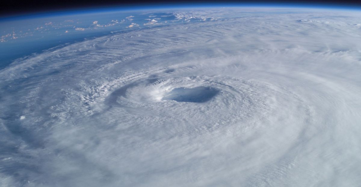
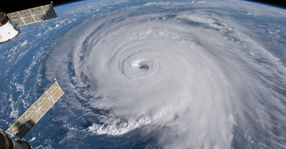
The Dreaded ‘Category 5’
A Category 5 hurricane is the most severe classification on the Saffir-Simpson Hurricane Wind Scale, defined by sustained winds of at least 157 mph or higher. These storms are categorized as catastrophic, bringing extreme destruction wherever they make landfall.
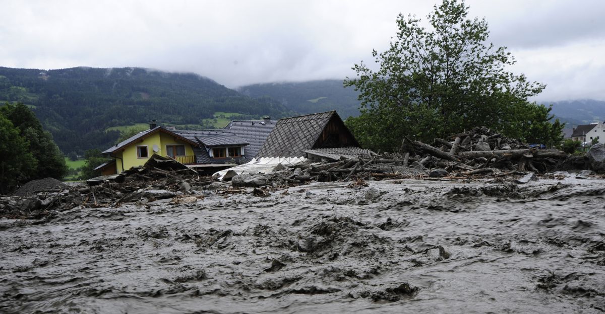
Category 5 hurricanes usually drive a storm surge greater than 18 feet above normal tide, inundating areas miles inland and isolating entire neighborhoods and towns through flooding and fallen debris. Category 5 hurricanes remain rare but profoundly deadly events.
Forecasting Has Become Harder

Forecasting hurricanes is harder due to the increasing phenomenon of rapid intensification. This drastic surge gives meteorologists, emergency managers, and the public far less time to prepare for landfall, heightening the risk to lives and property. Historically, forecasting models did well in predicting storm tracks but struggled with storm intensity, especially when it comes to abrupt intensification.
In the past few years, advanced models like NOAA’s new Hurricane Analysis and Forecast System (HAFS) have made strides in capturing some inner-core features of storms, yet scientists still acknowledge gaps in fully forecasting rapid jumps in intensity.
The Gulf’s History as a Hurricane Hotspot
The Gulf of Mexico has earned its reputation as a hurricane hotspot due to both geography and a dramatic history of devastating storms. Several of the deadliest and most destructive hurricanes in U.S. history have passed through or originated in the Gulf. Its warm, shallow waters act as a breeding ground for tropical systems, often fueling rapid intensification as storms move toward the coast.
The 1900 Galveston hurricane remains the deadliest natural disaster in U.S. history, claiming an estimated 8,000–12,000 lives. The storm rapidly intensified over the Gulf before striking Texas as a Category 4 hurricane with a catastrophic storm surge that inundated Galveston Island.
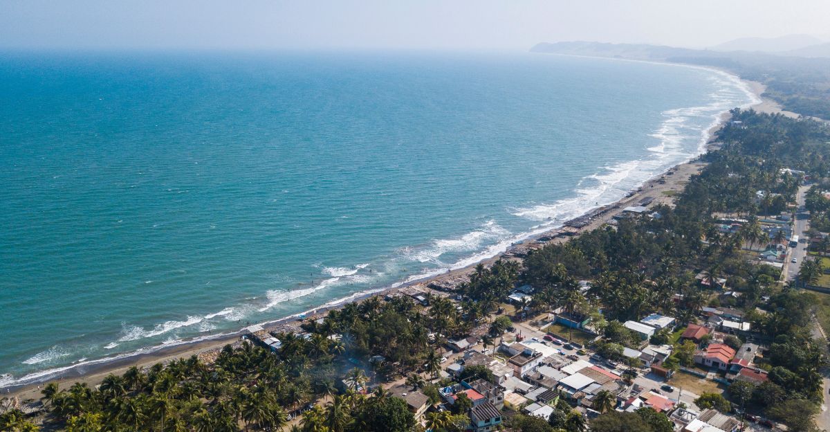
Which Cities Are in the Crosshairs?

The most vulnerable urban areas are those with large populations near the coast, low elevation, and histories of major hurricanes. New Orleans, Houston-Galveston, Miami, Key West, Gulfport, Biloxi, Mobile, Tampa Bay, and Pensacola are among the Gulf’s cities most starkly in the crosshairs for devastating impacts should a storm suddenly explode to Category 5 strength.
Preparation: What Residents Are Being Told

Authorities strongly advise reviewing emergency plans now, keeping hurricane supplies stocked, and monitoring forecasts closely as warning times can dwindle.
Authorities stress never to underestimate a storm’s duration or effects, citing supply chain interruptions and shortages of basic goods after recent hurricanes. Build a hurricane kit with water, nonperishable food, first aid supplies, flashlights, batteries, medications, and important documents.
Lessons From Hurricane Maria and Others
One of the clearest lessons is the vital importance of having robust emergency plans and supplies ready well before a storm forms.
After Maria, it became clear that individuals and institutions should stockpile essentials, including water, food, cash, and medication, for at least 10 days, in case roads become impassable and power and communications fail for extended periods.
How Warm Waters Feed Storms

As a storm develops over warm ocean water, heat and moisture rise from the sea surface, powering thunderstorms that organize into a cyclone. The warmer and deeper the water, the more energy there is for fueling hurricane growth.
This deep thermal reservoir makes it easier for hurricanes to sustain or even increase their intensity, even as they draw up water from below.
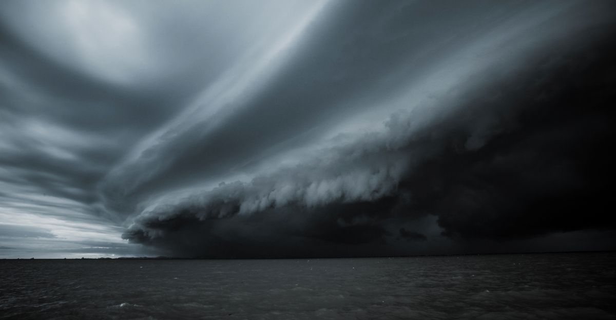
The Warning Signs
Multiple agencies, including the National Hurricane Center and NOAA, continue to issue updates as the Gulf’s atypical warmth persists. September and October remain the critical windows for late-season monsters.
Forecasters emphasize that while development probabilities fluctuate daily, these tropical disturbances, elevated sea surface temperatures, and changing atmospheric dynamics signal a heightened risk of powerful storms capable of rapid growth.
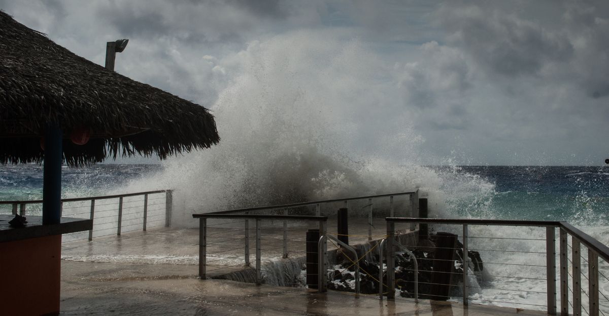
The Risk Beyond Winds
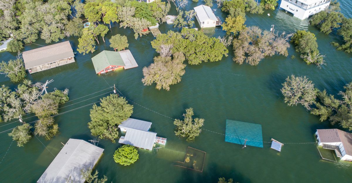
Storm surge is often the most catastrophic effect of a hurricane in the Gulf of Mexico region, where low-lying coastal areas face flooding due to the rise in seawater pushed ashore by the storm’s strong winds.
Tornadoes spawned by hurricanes add another layer of danger as storms approach landfall or move inland. These tornadic outbreaks, often brief but intense, compound the destruction from winds and flooding, leading to isolated but severe damage.
The Big Picture
With oceanic and atmospheric conditions aligned for explosive storm growth, meteorologists stress the need for maximum vigilance through the end of hurricane season.
The recent calm is not a signal to relax but a warning for what’s possible if a storm develops.
Why Experts Are Extremely Concerned
Experts are extremely concerned about the current Gulf hurricane situation because multiple converging factors are creating a perfect storm for rapid intensification, increased damage, and greater risk to coastal populations than ever before.
Even with efforts to improve flood control since events like Katrina, increased storm strength and surge driven by hotter waters and higher seas could overwhelm defenses.