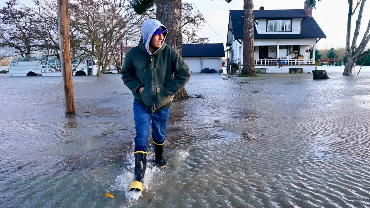
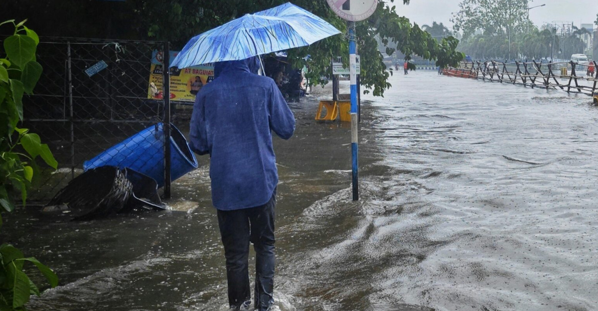
The roar of floodwaters drowned the sound of frantic voices as the Skagit River reached record levels, swallowing highways and submerging homes in its path. Within hours, more than 100,000 residents scrambled to evacuate. Roads buckled, levees gave way, and entire communities became islands, isolated by the rising tide. Emergency responders raced against time, rescuing families as the storm showed no signs of relenting. What had begun as heavy rain quickly spiraled into an unprecedented catastrophe.
What would happen next as the storm continued to batter the state?
Atmospheric River’s Fury
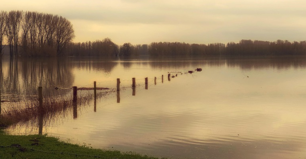
An atmospheric river system drenched Washington from December 9 to 11, 2025, creating perfect conditions for disaster. The Skagit River reached record-high levels, while other rivers surged past major flood stages.
Experts noted that atmospheric rivers are likely to increase in frequency and severity due to human-caused climate change, with the storm’s intensity linked to warming oceans and shifting jet streams that lead to prolonged rainfall. The National Weather Service warned: this wasn’t just heavy rain, but a once-in-a-generation flood event.
Mass Evacuations Begin

Over 100,000 people were forced to evacuate, marking Washington’s largest mass evacuation in decades. Whole towns in the Skagit Valley, including Burlington and Mount Vernon, were emptied.
Over 300 Washington National Guard members were deployed to assist with evacuations and rescues. Families were stranded by rising waters as floodwaters inundated homes and roads. Shelters were overwhelmed, and the chaos escalated quickly.
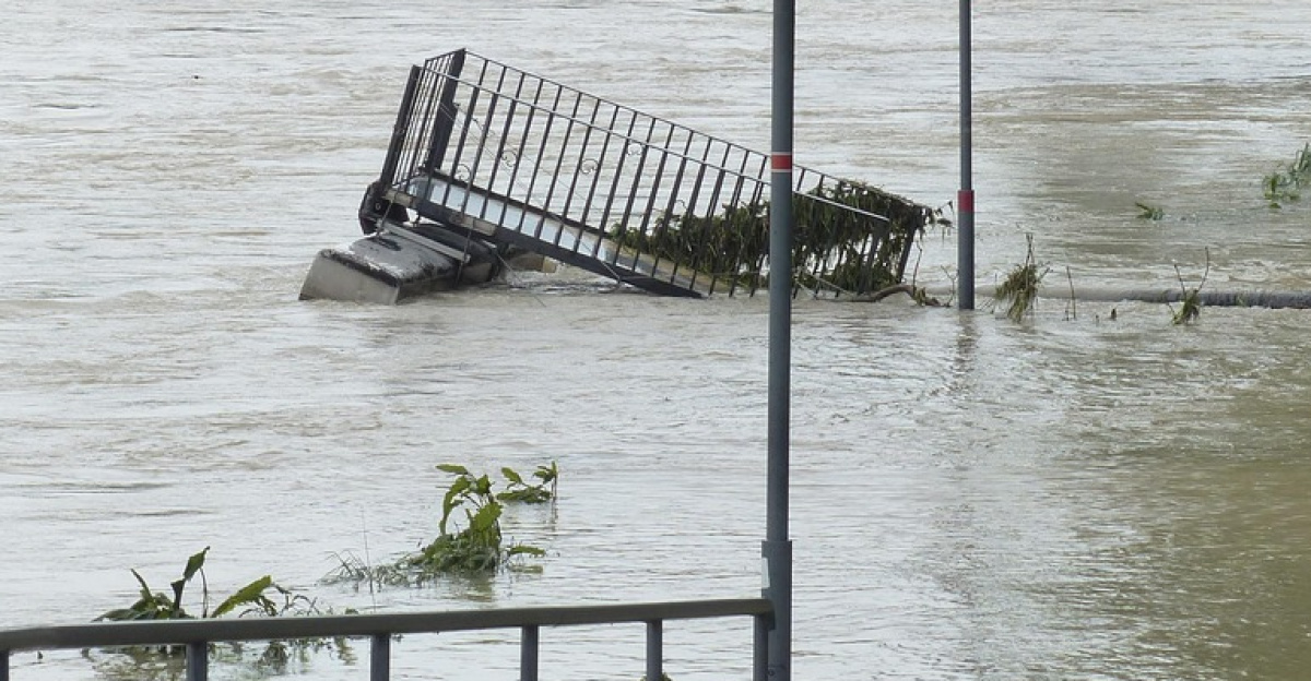
Infrastructure Collapses

Washington’s infrastructure crumbled under the pressure of the floodwaters. Multiple major highways were closed, including sections of Interstate 90 affected by mudslides, U.S. Route 2 across the Cascade Range, and U.S. Route 12.
The Sumas Border Crossing was closed to commercial traffic to allow local residents to use roads to evacuate. Amtrak suspended all services between Seattle and Vancouver. For the first time, large parts of the state were isolated, trapped by floods and blocked roads.
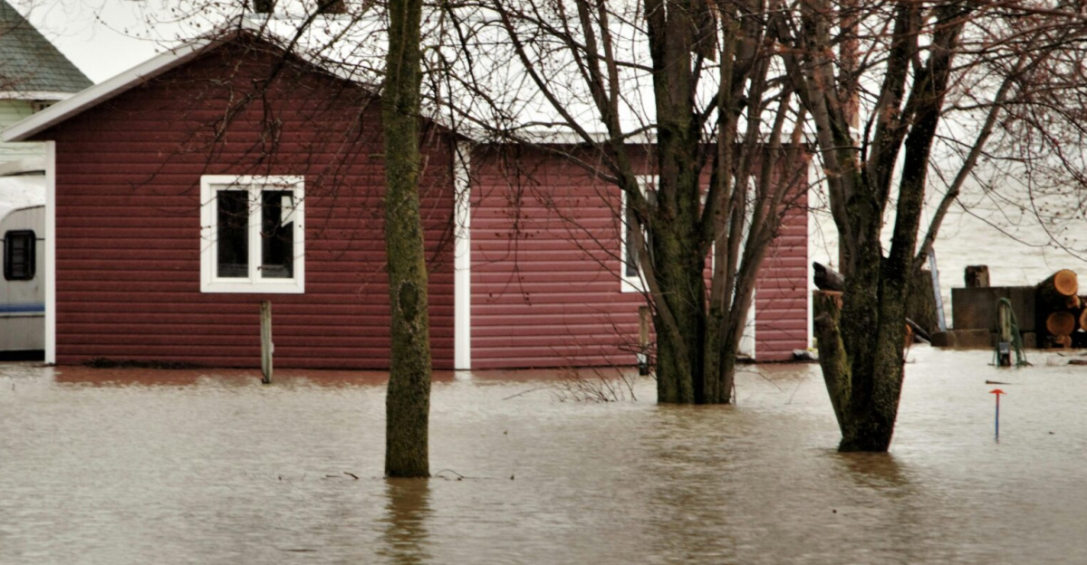
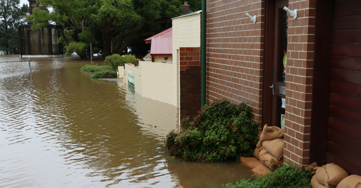
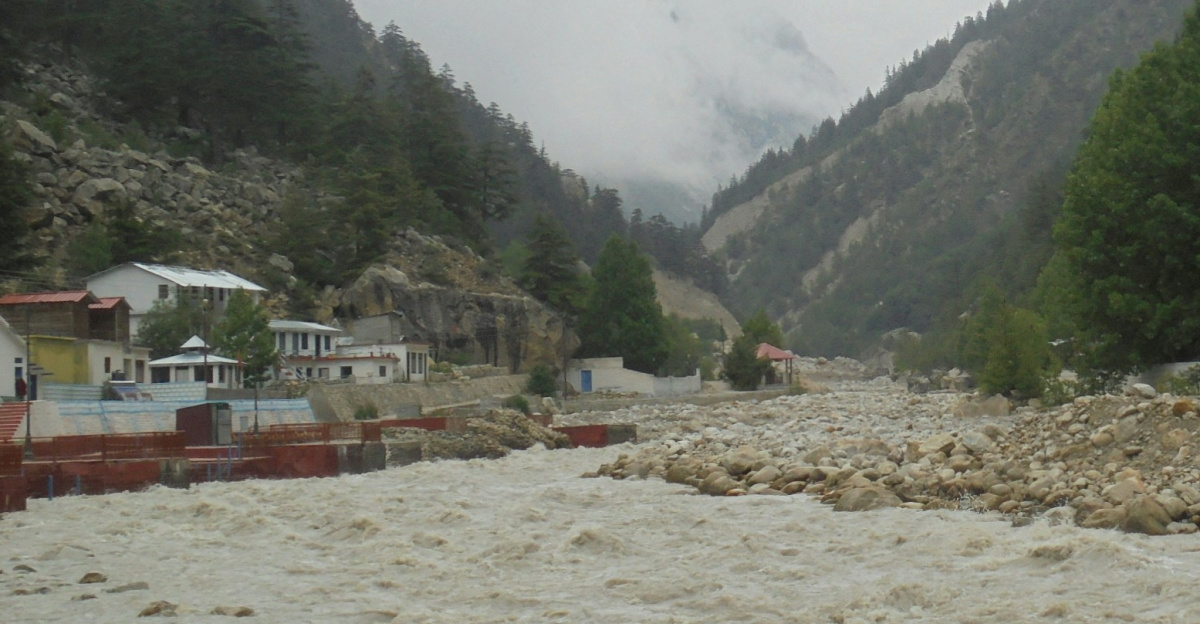
Levee Failures
Multiple levees across western Washington failed under the extreme pressure. On December 16, a White River levee broke, forcing approximately 2,100 residents in Pacific to evacuate.
The Desimone Levee on the Green River also breached on December 14, with over 46,000 people potentially requiring evacuation in Kent, Auburn, and Tukwila. Despite emergency efforts, the Seattle metro area’s protective infrastructure was overwhelmed. The failure of these barriers underscored the fragility of the region’s flood defenses.
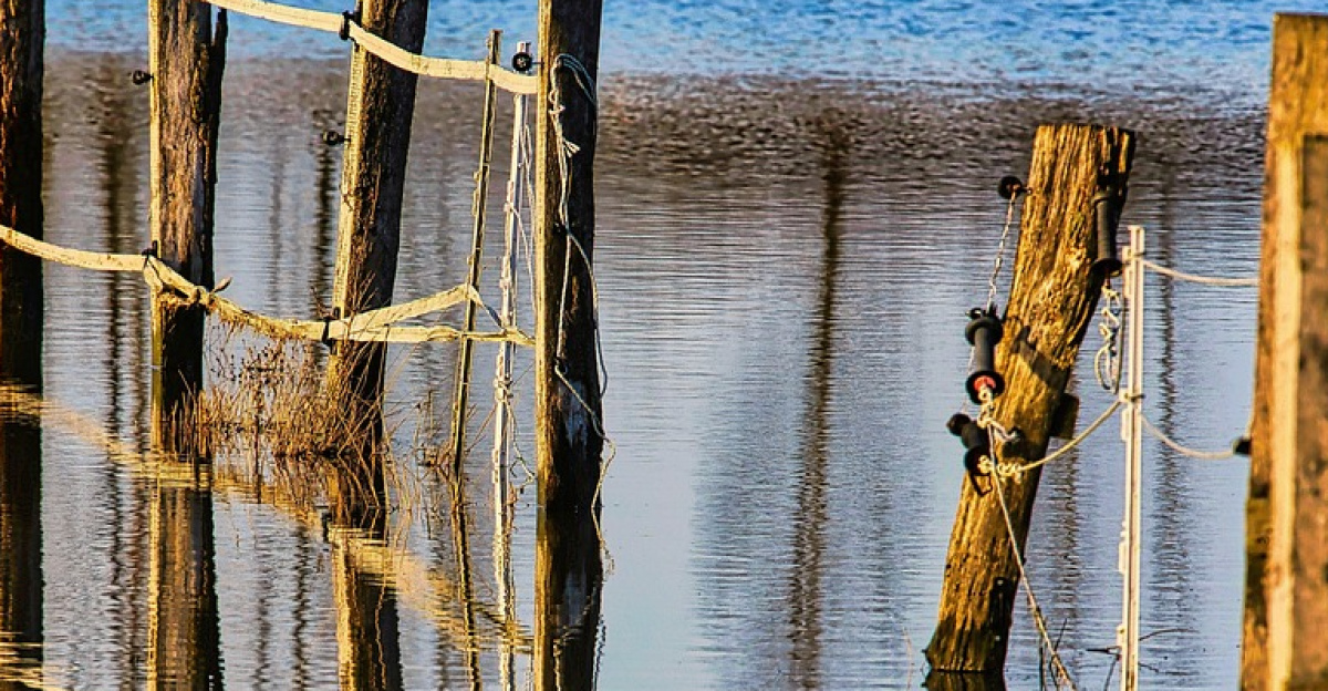
Agricultural Devastation
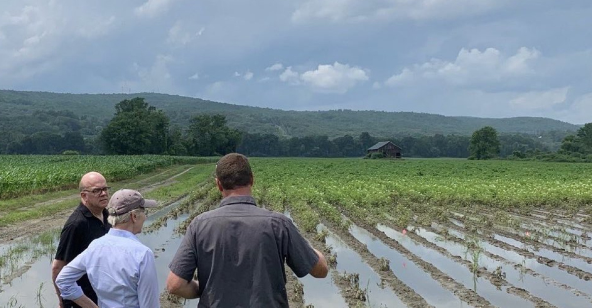
Washington’s agricultural heartland was submerged under floodwaters. The Skagit Valley, known for its farming, was hit hardest by the flooding.
Farms across the region experienced significant impacts, with agricultural operations disrupted by the unprecedented inundation.
Power Failures Spread Darkness
Residents in multiple counties lost power as the atmospheric river battered the region. In Chelan County, the town of Leavenworth was partially flooded and lost power.
Hospitals and emergency services struggled to maintain operations, with heavy rain and winds threatening to topple trees and further damage power lines. Water treatment facilities were impacted, as evidenced by Stehekin’s water treatment plant being damaged by mudslides and debris.
Dam Safety Crisis

Dams throughout western Washington faced immense stress as they managed rising water levels. The Skagit, White, and Green River dams were monitored closely by operators to prevent catastrophic failures.
The threat of dam overtopping loomed large as each atmospheric river raised the risk of disaster, endangering thousands downstream. Engineers worked around the clock to manage the water levels.
Supply Chain Breakdowns
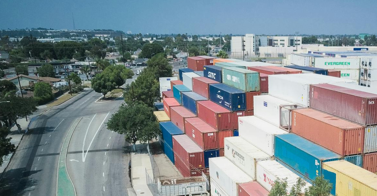
With multiple highways closed, supply chains were severed, and the Pacific Northwest was cut off from essential goods. The Sumas Border Crossing closure delayed shipments of critical goods including groceries and medical supplies.
Small businesses and communities faced mounting challenges as they struggled to maintain operations while access routes remained impassable.
Economic Impacts
The storm left significant economic impacts across sectors. Farmers, small retailers, and tourism businesses suffered substantial disruptions as flooding affected operations and tourism-dependent communities faced lost seasonal revenue.
The recovery will require substantial rebuilding efforts and resources across the region.
Tourism Industry Paralyzed
Washington’s tourism industry faced severe disruptions as ski resorts and mountain towns experienced infrastructure damage. The Stevens Pass area was cut off by U.S. Route 2 closures, requiring a months-long closure for repairs.
Towns like Skykomish and Leavenworth, dependent on winter tourism, saw businesses affected by road closures and flooding. The loss of seasonal revenue left businesses struggling with extended recovery timelines.
Political Response Intensifies

As the situation worsened, political leaders sprang into action. Governor Ferguson declared a statewide emergency on December 10, and federal emergency support was authorized.
The National Guard was deployed to assist with evacuations and rescue operations. The storm highlighted the need for investment in infrastructure to prevent future disasters, sparking urgent discussions about flood preparedness.
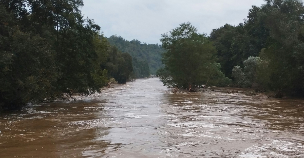
Historic River Records
Multiple rivers across the region set or approached record flood levels. The Skagit River, Snohomish River, and Cedar River broke all-time flood records on December 11.
The Yakima River at Easton, Grays River near Rosburg, and other rivers, including the Skykomish and Snoqualmie, surged past major flood stages. These record-breaking levels underscored the severity of the atmospheric river event.
A Second Storm Approaches
On the evening of December 14, another atmospheric river arrived in Washington, forecast as an AR-4-rated system. The forecast predicted heavy rain, mountain snow, and strong winds in the coming days. Emergency teams rushed to reinforce barriers, but the risks remained high.
Authorities warned that flooding would continue to be unpredictable, with potential for additional destruction. Communities braced themselves for another round of challenges.
The Bigger Picture: What’s Next?
The 2025 atmospheric river exposed significant vulnerabilities in Washington’s infrastructure, agricultural sectors, and emergency response systems. The state faces difficult decisions: rebuild in flood-prone areas with better protections or relocate to safer ground?
As climate change continues to increase the frequency and severity of extreme weather events, Washington must adapt to a future where flooding is no longer an anomaly but an ongoing threat.
Sources:
“100,000 Ordered to Evacuate as Rivers Rise in Washington State.” The New York Times, 11 Dec 2025.
“Climate Change Primed Washington State for Historic Flooding.” Grist, 15 Dec 2025.
“Damage From Record Flooding in Washington State Is Profound, Governor Says.” Oregon Public Broadcasting, 17 Dec 2025.
“Back-to-Back Storms Push Washington Rivers Past Their Limits.” NPR, 13 Dec 2025.