Millions of Americans woke up Monday to find their commute transformed overnight. Across 10 states—from Alaska to Virginia—people faced that exact reality as a powerful winter storm unfolded over 48 to 72 hours, according to the National Weather Service (NWS).
What started as a weather watch on Sunday evolved into a coast-to-coast winter event, with forecasters labeling conditions “hazardous” and urging drivers to reconsider their travel plans entirely.
Why Your Morning Commute Got Complicated
The NWS issued these warnings across Wyoming, Montana, Virginia, Alaska, Michigan, Tennessee, Kentucky, Washington, North Carolina and Illinois—each state facing its own flavor of winter disruption.
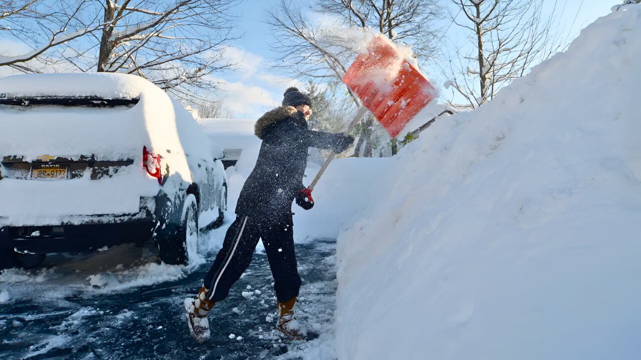
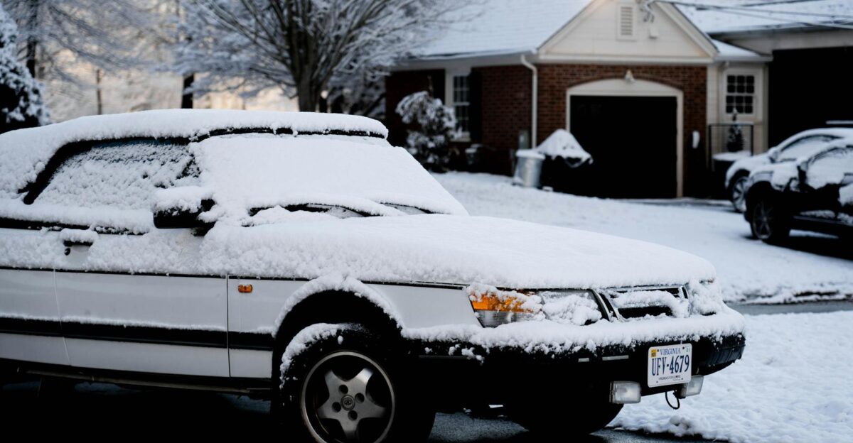
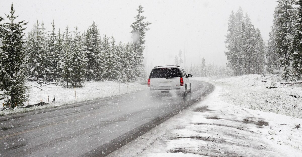
In Virginia alone, central and southern counties that typically see light flurries braced for 3 to 5 inches of snow that transformed Monday and Tuesday commutes into white-knuckle drives. The timing proved brutal: the heaviest snow arrived Monday and Tuesday, right when traffic peaked.
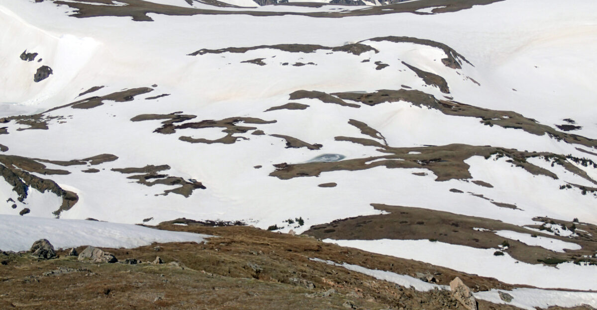
The Rockies: Where It Got Serious
Head west to the Tetons and Snake River ranges in Wyoming and Montana, and the storm took on a different character entirely. The NWS warned of 6 to 14 inches of snow piling up through midweek, with Teton Pass—a crucial mountain corridor—rated “very difficult” for travel.
Winds gusted 50 to 60 mph, driving snow horizontally across exposed slopes and creating the kind of conditions that turned scenic mountain drives into genuine hazards.
Two Feet Of Snow And 70 MPH Winds
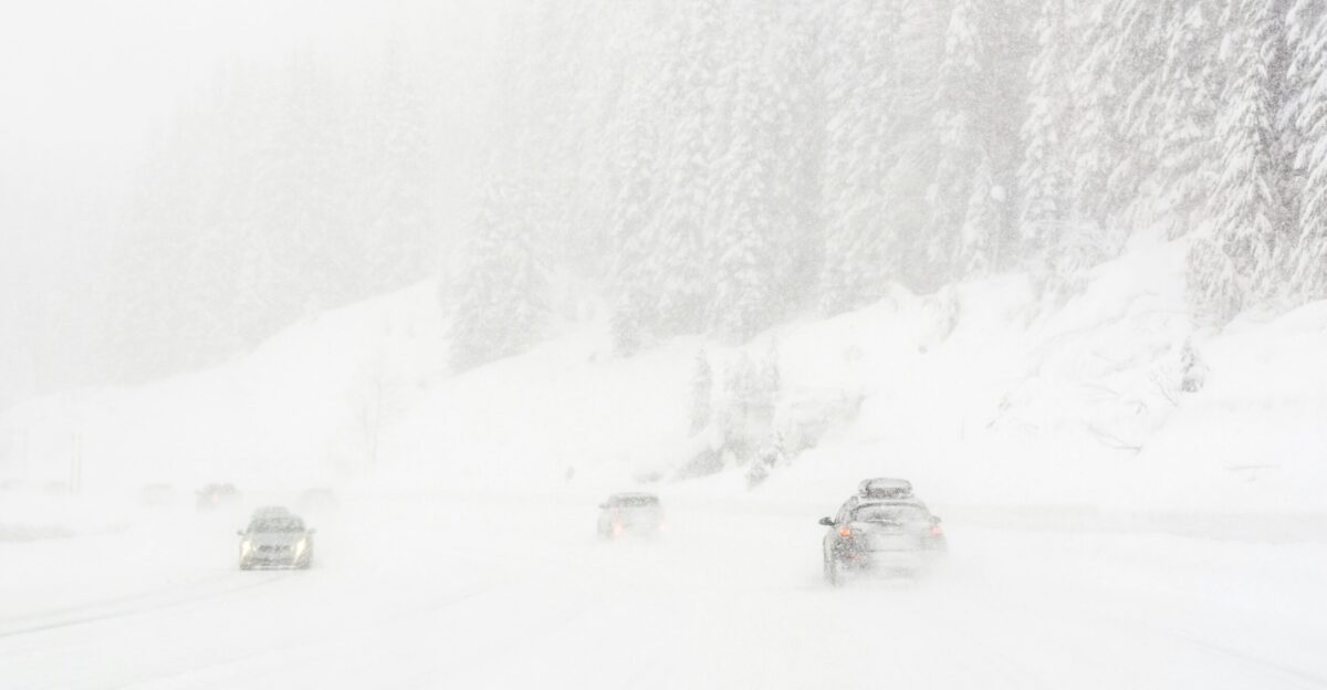
Farther north and east, a Winter Storm Warning from the NWS for the Absaroka and Beartooth Mountains called for 1 to 2 feet of snow and winds that could gust up to 70 mph from Monday afternoon through Wednesday.
Forecasters in Billings described the high country as “significantly impacted,” with whiteout conditions and severe blowing snow making even experienced mountain travelers think twice. This wasn’t just inconvenient—it was the kind of weather that reshapes landscapes and closes roads for days.
Why This Storm Spanned The Entire Country
Most winter storms tend to affect a single region. This one was different. Meteorologists explained that strong jet stream energy and sharp temperature contrasts organized multiple storm centers across the continental U.S., each feeding off different moisture sources.
The result was a coordinated winter assault rather than scattered flurries—the kind of system that gets national attention and makes the evening news across all time zones.
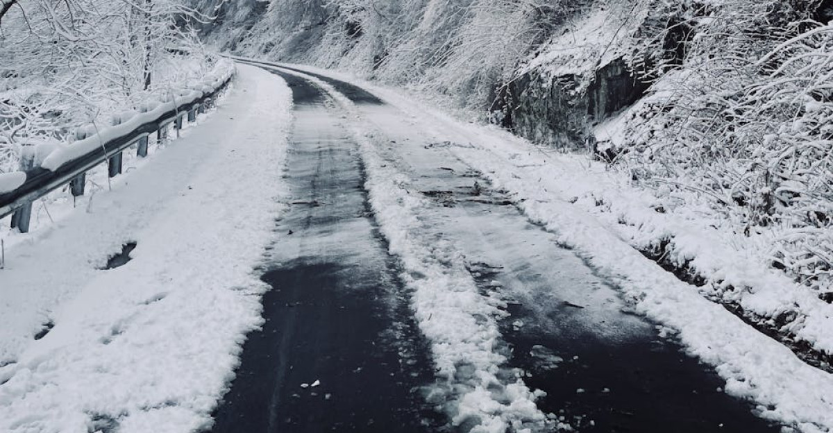
Virginia Drivers Braced For Black Ice
Back East, the Virginia Department of Transportation made a calculated decision: no road pretreating this time. Wet pavement and high humidity would have washed treatments away before snow even arrived, officials explained, so crews banked on plowing after accumulation began.
That put the responsibility squarely on drivers, who were urged to slow down, leave extra space behind other vehicles, and remember that bridges, overpasses, and ramps freeze first—sometimes while main roads still looked wet.
Delay All Travel If Possible
The National Weather Service office for Virginia issued a statement that captured the urgency without hysteria: “Persons should delay all travel if possible. If travel is absolutely necessary, drive with extreme caution and be prepared for sudden changes in visibility.”
The advisory went further, noting that drivers should allow extra time, avoid sudden braking or acceleration, and especially be cautious on hills or when making turns. It was practical, clear, and rooted in decades of winter driving data.
Alaska’s Whiteout Factor
On the opposite coast, Southeast Alaska experienced its own brand of winter drama. The NWS reported that Hyder received around 7 inches of snow, with Petersburg and Wrangell recording slightly less, at around 6 inches, as moisture-laden Pacific air clashed with cold inland air.
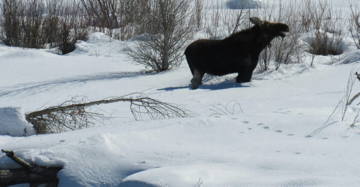
What made this particularly dangerous was visibility—forecasters warned it could drop to around 1 mile or less during bursts of heavier snow, with snowfall rates approaching 1 inch per hour. In a place where moose wander roads and passes can be unmarked, that was genuinely treacherous.
Michigan’s Lake-Effect Surprise
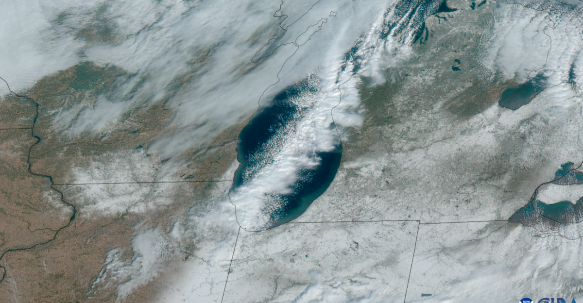
Along the Mackinac and Chippewa County border in Michigan, lake-effect snow bands piled up about 8 inches of snow as cold air swept over the relatively warm Great Lakes.
Meteorologists noted that narrow but intense bands quickly turned clear pavement into snow-covered, slippery stretches, surprising drivers who moved just a few miles into a heavier cell.
Tennessee And Kentucky’s Challenge
In the Smoky Mountains and Eastern Kentucky, winding roads cut through elevation changes that made snow accumulation unpredictable. The NWS warned of up to 3 inches across Tennessee counties, including Blount, Cocke, and Sevier, with Eastern Kentucky seeing similar amounts above 2,000 feet.
Local officials knew from experience that secondary roads and hollows—the ones many people use to avoid highways—became slick and isolated quickly, sometimes trapping drivers who assumed their shortcut would be passable.
Winter Encroaching On Cities
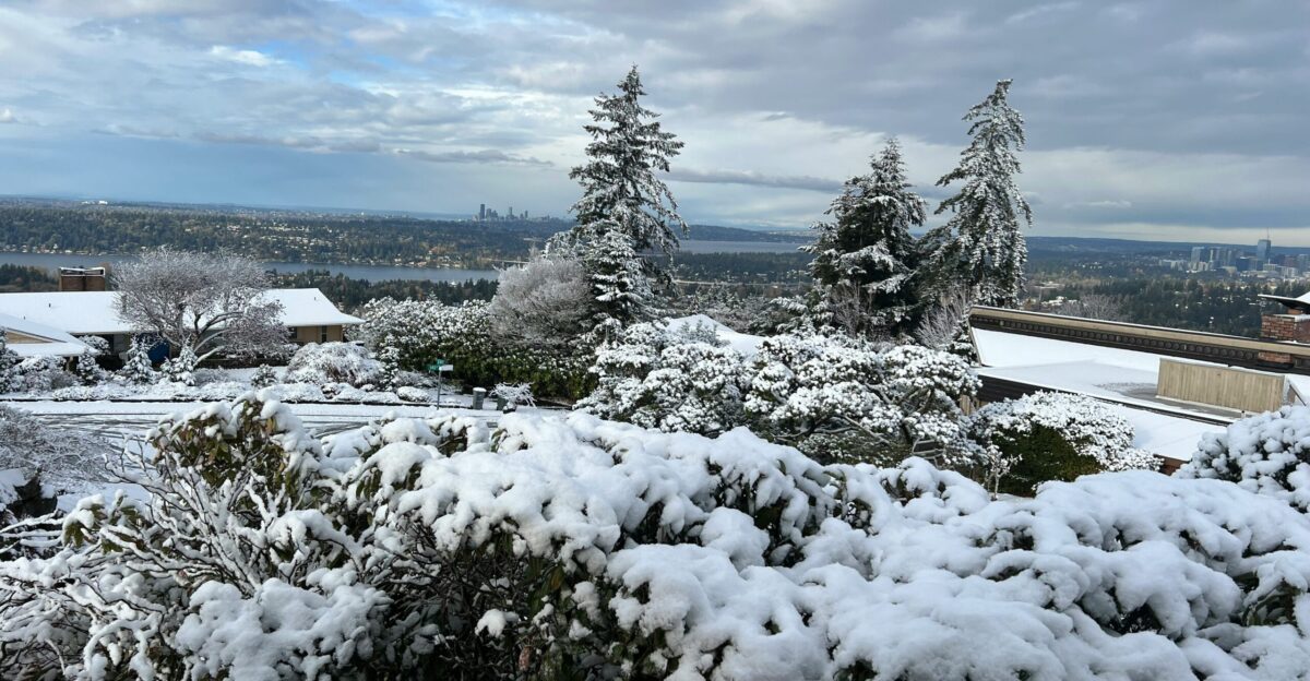
Farther west, coastal and central Washington counties received 3 to 5 inches as colder air pushed inland, threatening morning commutes around major metros.
Around Chicago, forecasters said Lake and northern Cook counties saw 3 to 4 inches while southern Cook approached 5 inches—enough to turn expressways into slushy, slower-moving stretches where lane reductions and temporary closures became the norm.
Power Outages In Mountain Zones
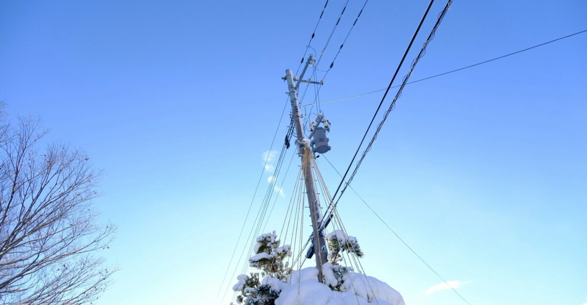
While road closures grabbed headlines, another danger lurked in remote mountain communities. Heavy, wet snow combined with strong winds snapped tree limbs and brought down power lines, leaving isolated pockets without electricity when temperatures plunged below freezing.
Emergency managers stressed that even scattered outages could be hazardous, urging residents to charge devices, stock essentials, and refrain from using generators indoors due to the risk of carbon monoxide poisoning.
How Many People Were Actually Affected?

The math is sobering. Across the 10 affected states, millions of Americans live in or travel through areas under winter storm warnings or advisories, with hundreds of thousands commuting through at least light-to-moderate snow on Monday and Tuesday.
State transportation departments say plow operations will ramp up once snow reaches a couple of inches, but warn that drivers should still expect longer travel times and occasional lane reductions in heavier bands.
The Storm Winds Down Wednesday
Through today, the most extreme conditions will continue to pound the Absaroka and Beartooth Mountains, as well as the Teton and Gros Ventre ranges, where snow and wind will hammer passes and ridges. After Wednesday, attention shifts to lingering lake-effect snow in the Great Lakes, any wraparound snow drifting into the Mid-Atlantic, and the potential for a second round of mountain snow later in the week as colder air settles in.
For now, the message from forecasters remains consistent: stay alert, drive carefully, and don’t take unnecessary risks.
Sources:
NOAA SSW November 2025 briefing
National Weather Service long-range discussion
NOAA Climate Prediction Center ENSO Diagnostic Discussion
NOAA CPC Seasonal Outlook and hazards guidance
USDA freeze tolerance and hardiness guidance
University of Florida IFAS Extension freeze and winter plant protection guidance