A major winter storm is approaching the U.S. as millions prepare for Christmas travel, with the National Weather Service (NWS) issuing warnings across California, Maine, and Alaska from Tuesday, December 24, through Friday, December 27, 2025. This multi-state event could bring significant snow to key holiday routes along with strong winds on California’s higher ridges. Families heading home face risks of delayed vehicles, closed highways, and disrupted flights, potentially complicating festive journeys.
The storm’s timing adds to travel challenges, overlapping with peak Christmas Eve when AAA estimates over 100 million Americans will travel by road or air. NWS forecasters note conditions that could affect thousands, particularly in California’s Sierra Nevada where notable snow accumulations are possible.
California Mountains Face Heavy Snow
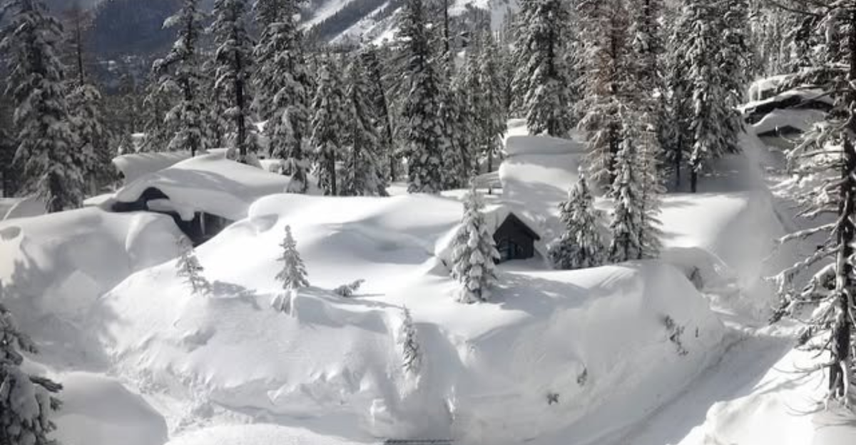
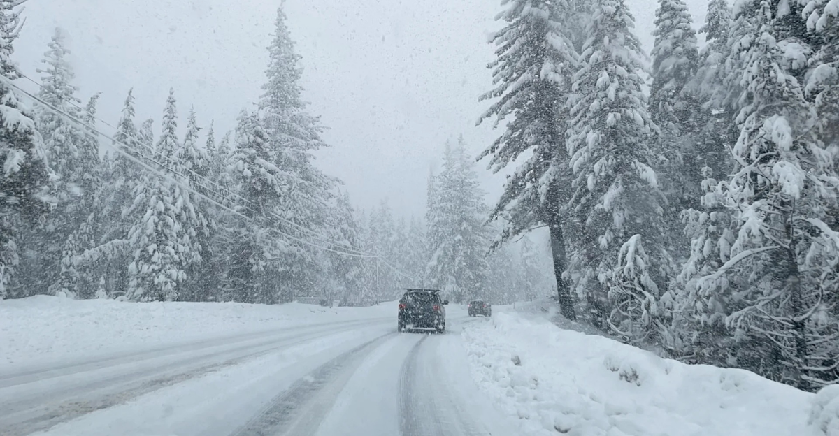
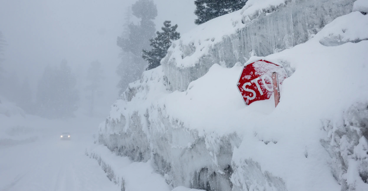
California’s Sierra Nevada and nearby ranges are central to this storm, with forecasts indicating 1-4 feet of snow at highest elevations, the most significant totals in the warnings. Areas like Mono County above 8,000 feet and Lake Tahoe above 7,000 feet could see several feet, while southern Sierra Nevada braces for substantial falls. These amounts exceed typical winter events for elevations above 7,000 feet in the White and Inyo Mountains.
Highway 168 through Westgard Pass highlights the risks, with NWS noting travel could become very difficult amid reduced visibility and potential hazards. Holiday drivers on routes like US-395 and Lake Tahoe corridors should prepare for possible delays, prompting some to adjust family plans.
Strong Winds Add to the Challenge
Gusts up to 50-80 mph are forecast on Mono County’s higher ridges and Lake Tahoe peaks, strong enough to down trees, disrupt power, and reduce visibility in blowing snow. Lower elevations face 40-60 mph winds in the White/Inyo Mountains, eastern Sierra, and areas near Yosemite. Counties like Modoc, Lassen, Plumas, and Sierra could see intense gusts on ridges. Some reports have suggested winds of up to 100mph, but these forecasts are not yet confirmed.
These winds may create snowdrifts, complicating roads and stranding some motorists. Paired with snowfall, visibility could drop sharply, making mountain passes hazardous for Christmas travelers.
Maine’s Holiday Drives at Risk
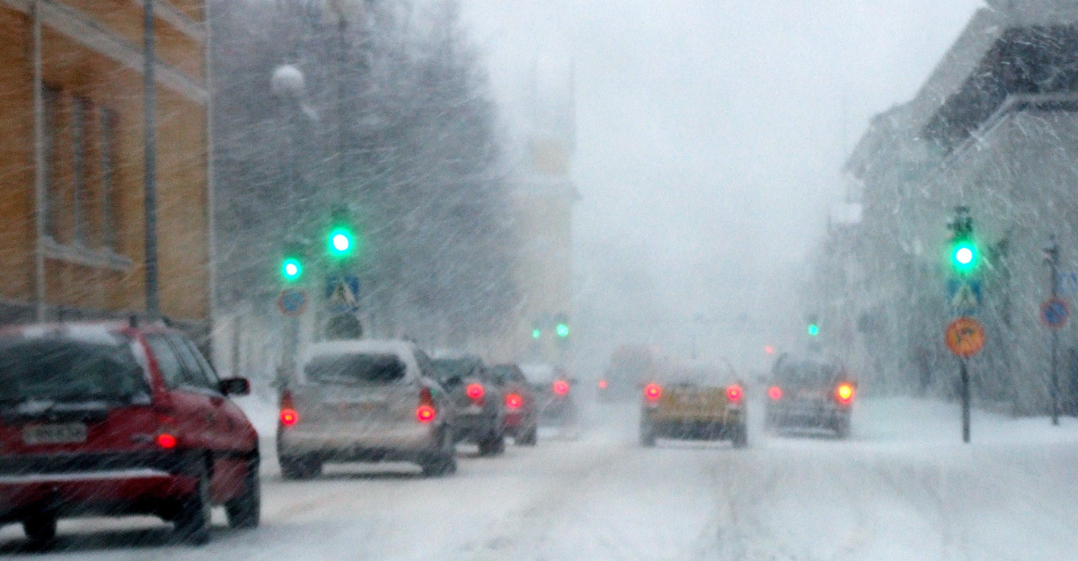
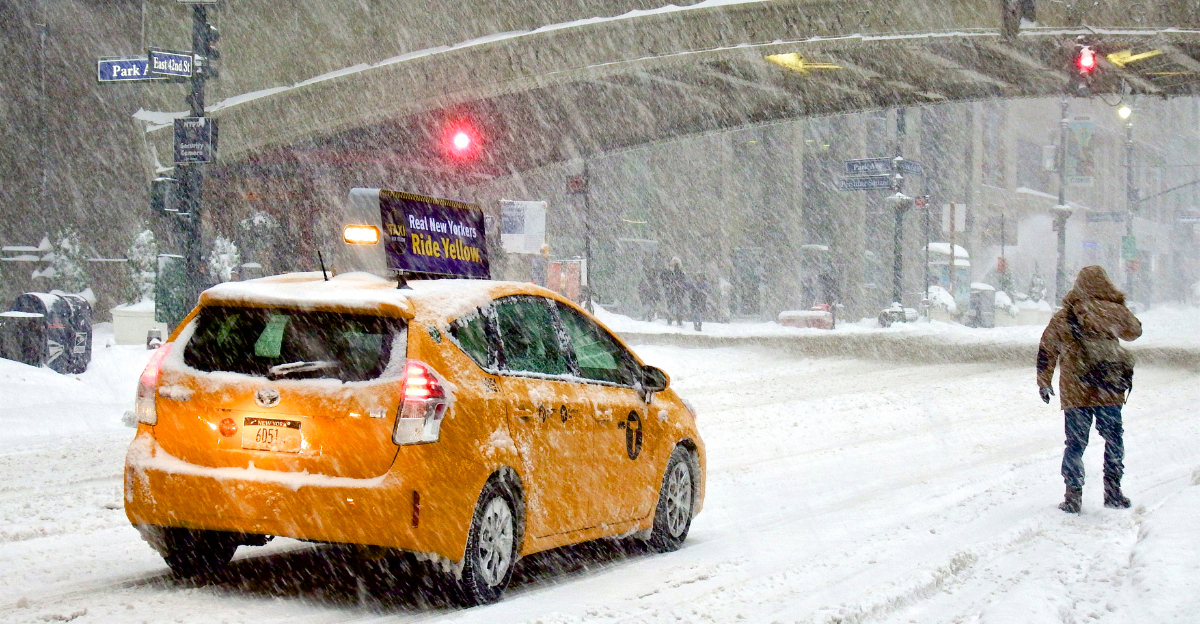
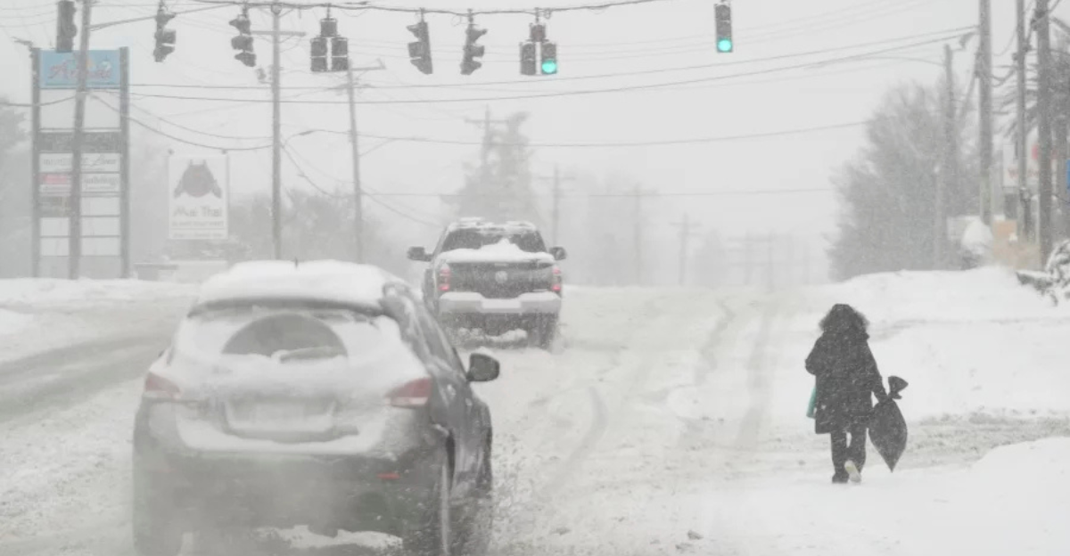
South central and southwest Maine face 4-8 inches of snow starting Tuesday evening, impacting night commutes and Wednesday holiday travel. This could slick interstates toward Boston or Portland airports, delaying flights and slowing I-95.
NWS advises caution for regional holiday travelers, where accumulations create slippery conditions. The East Coast effects disrupt New England plans, with possible delays for families and power issues from wind-driven snow.
Alaska Prepares for Snow and Low Visibility
Western Alaska ranges could see up to 12 inches, with Fairbanks and central Interior expecting around 10 inches and spots like the Baldwin Peninsula getting 6 inches. Winds around 20-40 mph may cut visibility below half a mile, affecting remote areas from Noatak Valley to the Brooks Range.
Holiday travel and supplies could face interruptions. This northern reach affects Alaska’s communities during winter holidays.
NWS Issues Travel Warnings
NWS highlights challenges on California mountain highways like 168 through Westgard Pass, with similar issues in Maine and Alaska. Prepare with flashlights, food, and water.
“If you must travel, keep an extra flashlight, food, and water in your vehicle,” NWS advises. Alerts cover affected areas and nationwide travelers, with potential delays at hubs like Reno-Tahoe.
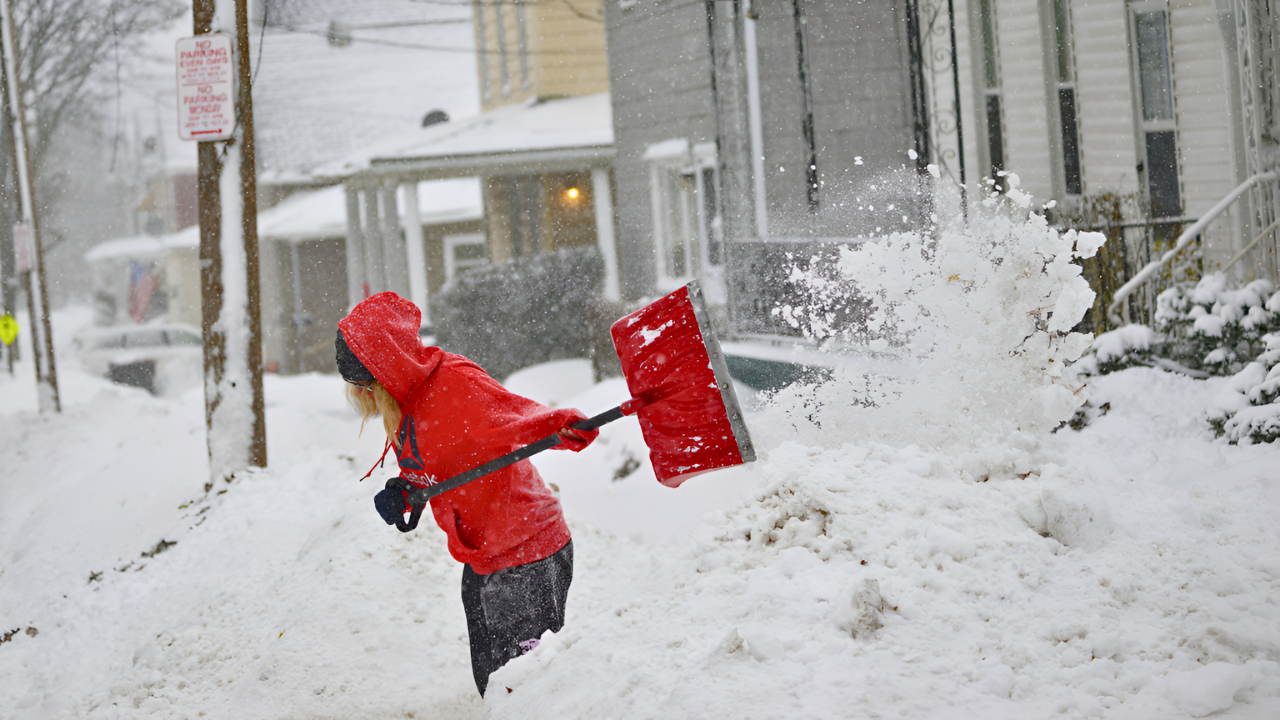
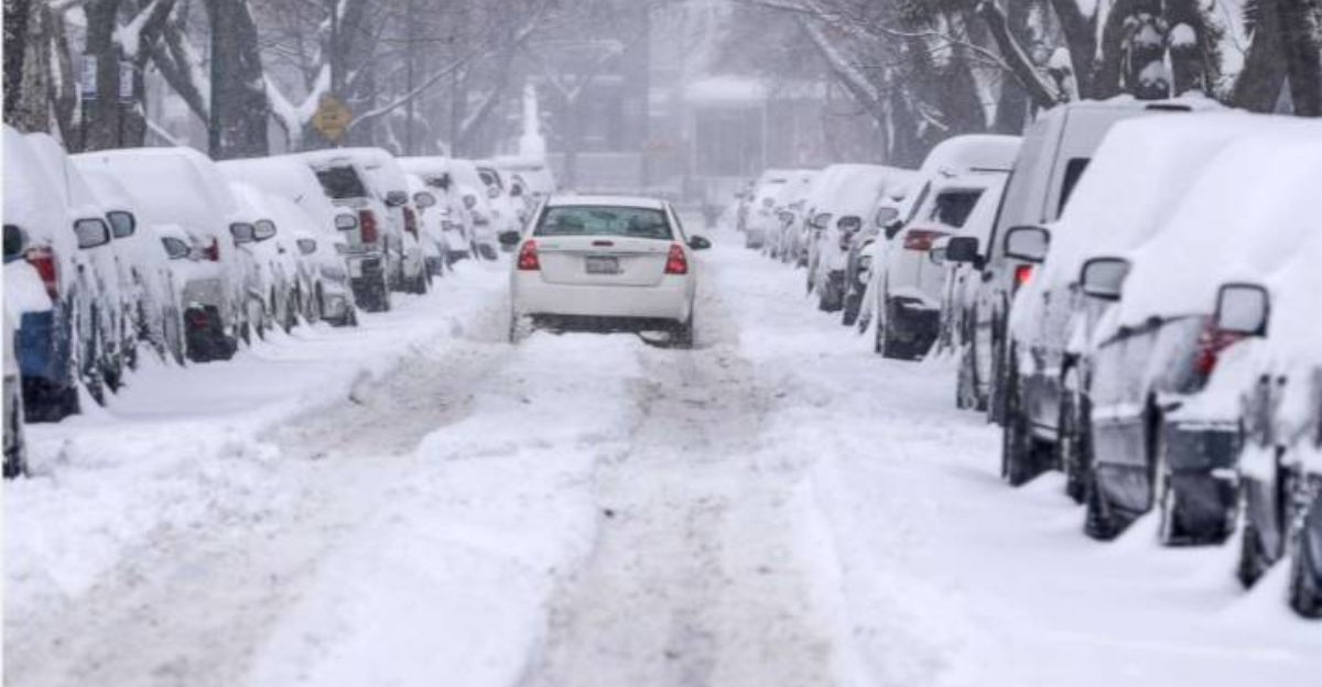
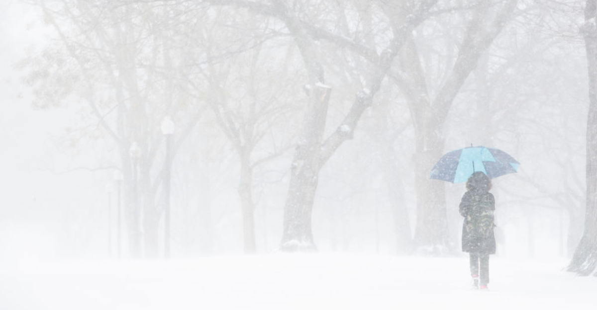
Travelers Face Delays on Christmas Eve
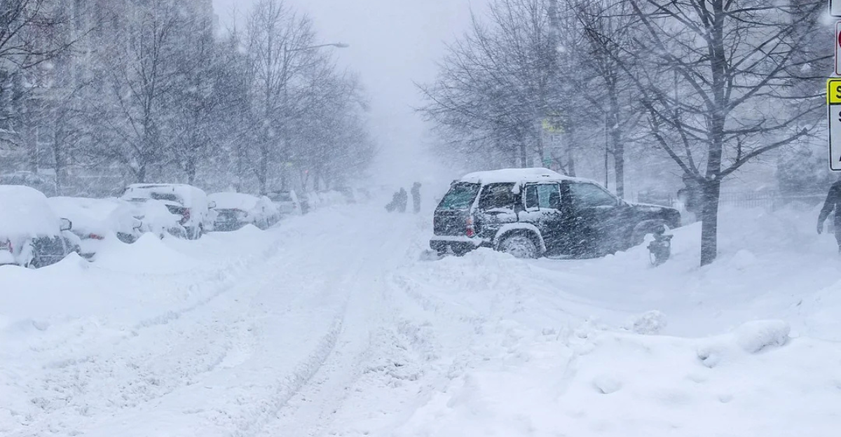
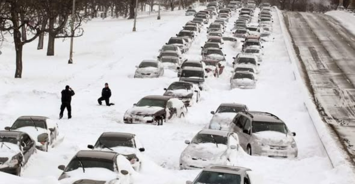
Families traveling for Christmas Eve could face significant slowdowns and potential stranding on snow-covered roads, especially across California mountain passes like US-395 and Highway 168. Forecasts warn of possible whiteout conditions and of gridlock similar to past winter events where drivers were trapped for hours or overnight.
AAA projects over 100 million Americans on the move during this peak period, amplifying the risks as interstates like Maine’s I-95 turn slick with 4-8 inches of snow, and Alaska’s remote routes face isolation from 6-12 inch accumulations and 20-40 mph winds.
Potential Economic Disruptions
Travel disruptions from this winter storm could rack up substantial costs, stemming from flight reroutes, extended hotel stays, and lost wages for stranded workers and businesses. California’s mountain regions, heavily dependent on ski resorts, holiday tourism, and seasonal jobs around Lake Tahoe and Yosemite, face potential shutdowns through Friday, December 27, idling resorts and cutting peak revenue during one of the busiest times of year.
AAA’s forecast of over 100 million travelers nationwide means even localized halts ripple outward, affecting supply chains, retail, and hospitality sectors.
Snow Amounts Exceed Norms
Snow forecasts for this storm surpass typical winter expectations in the affected regions, marking a notable deviation from seasonal averages even if not reaching historic records. These amounts challenge the baseline for elevations above 7,000 feet, potentially overwhelming unprepared infrastructure and ski operations during peak holiday demand.
Such excesses underscore shifting weather patterns delivering concentrated dumps amid broader volatility, forcing resorts to close lifts and travelers to reassess routes. Historical data from prior seasons shows similar outliers led to prolonged closures, but this holiday timing intensifies the strain on local preparedness.
Winds Heighten Dangers
Strong winds forecasted for this storm significantly amplify risks beyond snowfall alone, turning manageable snow into life-threatening hazards across the affected regions. In California’s Mono County ridges and Lake Tahoe peaks, gusts up to 50-80 mph rival those in severe historical storms like the 2017 Sierra gales, capable of snapping power lines, uprooting trees, and hurling ice pellets into blinding squalls that reduce visibility to near zero.
Lower elevations in the White and Inyo Mountains, eastern Sierra slopes, and areas outside Yosemite Valley face 40-60 mph blasts, while ridges in Modoc, Lassen, Plumas, and Sierra counties could see peaks near 70 mph, sculpting massive snowdrifts taller than vehicles and blocking escape routes for days.
Families Adjust Plans
Millions of Americans are scrambling to revise their Christmas travel itineraries as this winter storm bears down, forcing a shift from traditional in-person gatherings to digital alternatives amid widespread warnings.
From cozy Lake Tahoe cabins and Maine fireplaces to remote Alaska outposts, families huddle over weather apps and road cameras, postponing drives on routes like California’s US-395 or Maine’s I-95 where snow and winds promise gridlock.
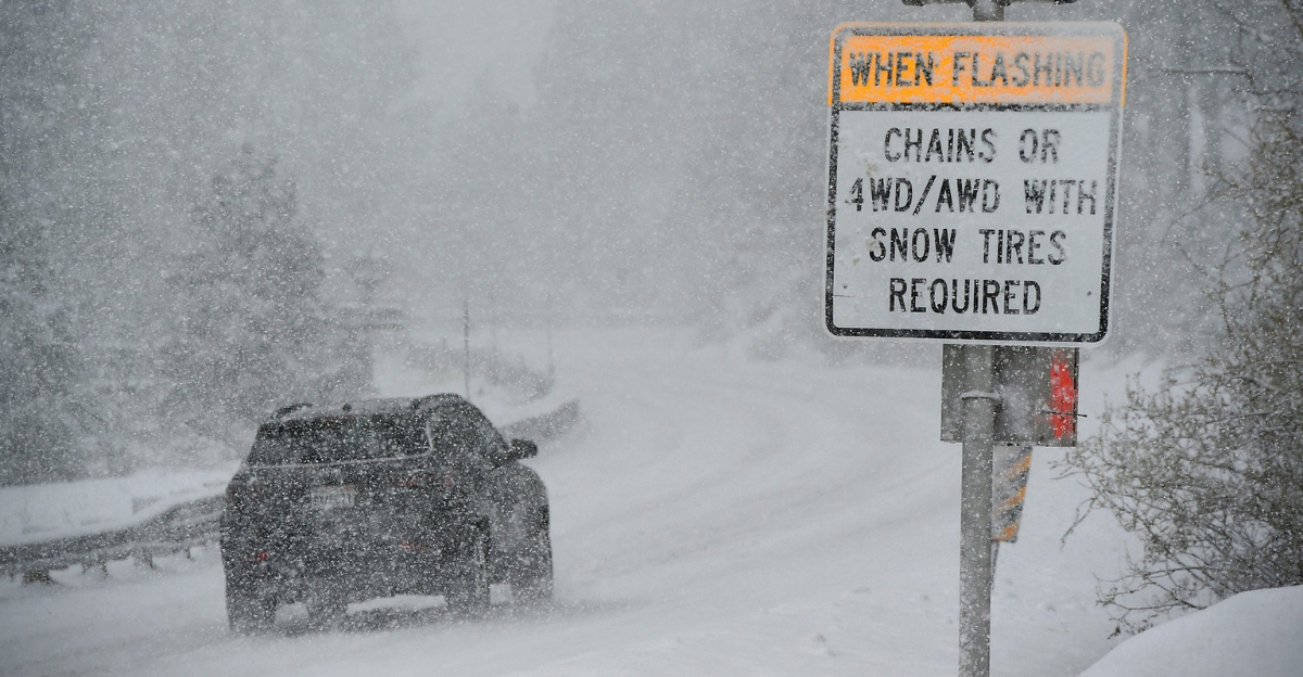
Safety Tips from Experts
Weather authorities and travel organizations provide clear, actionable advice to navigate this winter storm safely, emphasizing preparation over panic during peak Christmas travel. The National Weather Service (NWS) urges delaying non-essential trips entirely, especially on vulnerable routes like California’s Highway 168, Maine’s I-95, or Alaska’s remote interior roads, where snow accumulations and gusts could trap vehicles.
Check real-time road cameras, NWS apps, and state DOT updates before departing, and never venture out without a fully charged phone and shared itinerary with loved ones. Experts stress driving defensively: reduce speed by half in low visibility, use headlights and hazard lights, and pull over safely if whiteouts hit.
Compared to Past Storms
This winter storm draws parallels to notable historical events but stands out due to its precise timing during peak Christmas travel, amplifying disruptions across California, Maine, and Alaska. Sierra storms, like the 1969 record-breakers, delivered comparable accumulations over extended periods rather than this compressed event through December 27, forcing quicker responses from unprepared resorts and highways.
Maine’s anticipated 4-8 inches mirrors 2022 nor’easters that slicked I-95 and delayed flights to Boston, creating similar commuter hazards but with less wind-driven intensity this time. Alaska’s 6-12 inch falls and 20-40 mph gusts align with routine interior whiteouts, such as those in recent Fairbanks winters, which isolated remote communities without the broader multi-state scope seen here.
Storm Affects Three States
This expansive winter storm system blankets three diverse states, California, Maine, and Alaska, with warnings from December 24 through 27, creating a rare trifecta of weather threats that spans the Pacific peaks, New England forests, and Arctic interiors.
California shoulders the heaviest burden in its Sierra Nevada mountains, and Maine’s south central and southwest regions brace for snow that could ice over I-95, delaying commutes to Portland and Boston airports during family rushes. Alaska’s western ranges and Fairbanks interior face up to 12 inches with 20-40 mph winds, dropping visibility and isolating remote valleys from Noatak to the Brooks Range, halting supply runs in subzero conditions.
Outlook Beyond Friday
Warnings for this winter storm officially lift on Friday, December 27, but lingering effects from heavy snow and strong winds will persist well into the new year, complicating holiday recovery across California, Maine, and Alaska.
NWS cautions in extended outlooks, referencing patterns from similar December storms that stretched disruptions 7-10 days. Travelers must monitor NWS updates obsessively, as evolving models hint at additional snow chances early next week.
Sources:
National Weather Service – Winter Storm Warnings California Maine Alaska – 2025-12-23
Newsweek – Winter Storm Warning as 16 Inches of Snow Threatens – 2025-12-23
PBS NewsHour – Californians warned to reconsider driving through treacherous Christmas storms – 2025-12-24
USA Today – US weather forecast is in for a big change after snow storm – 2025-12-13
AAA – Christmas Travel Forecast 2025 – 2025-12-20
NWS Sacramento – Sierra Nevada Blizzard Forecast Discussion – 2025-12-23