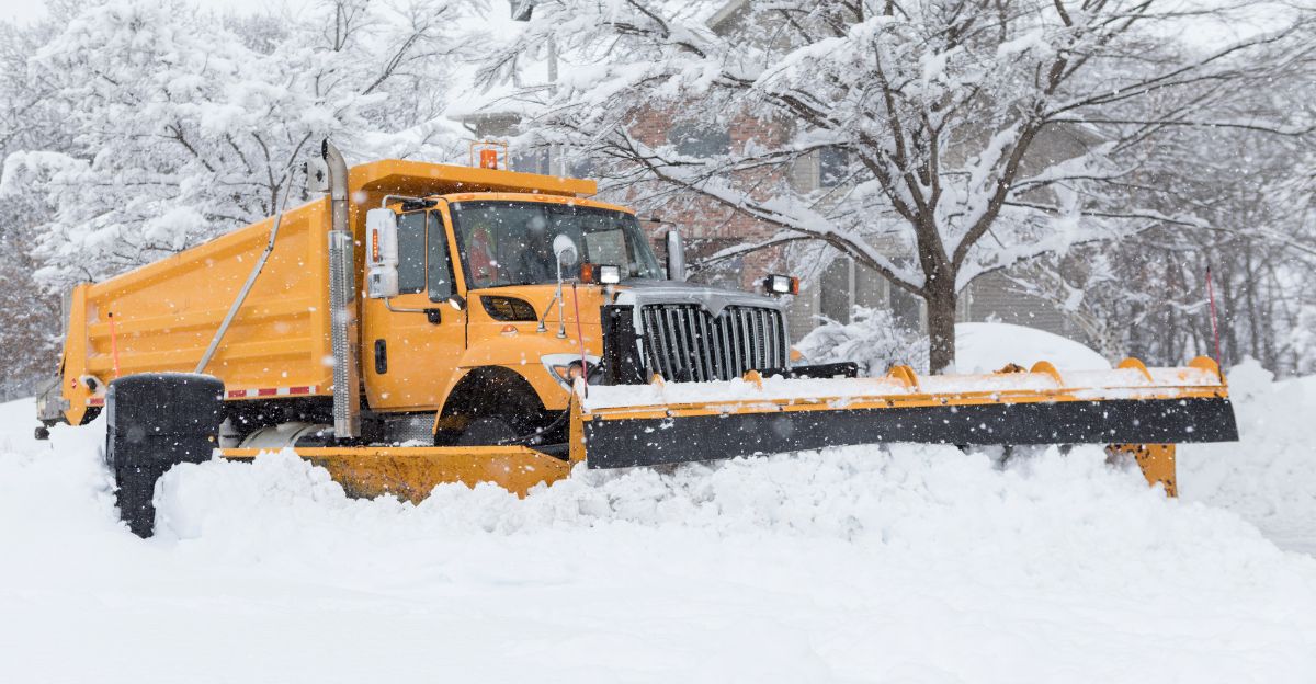
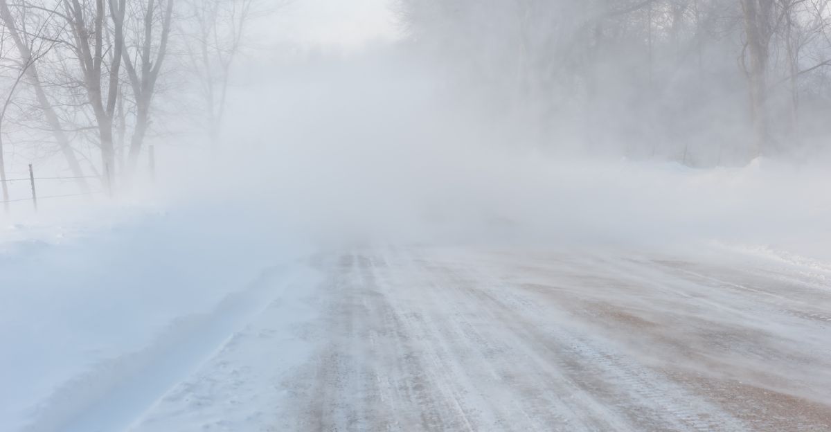
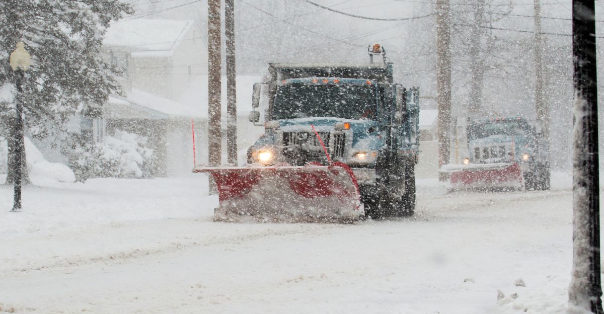
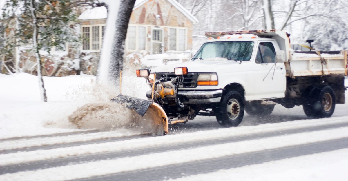
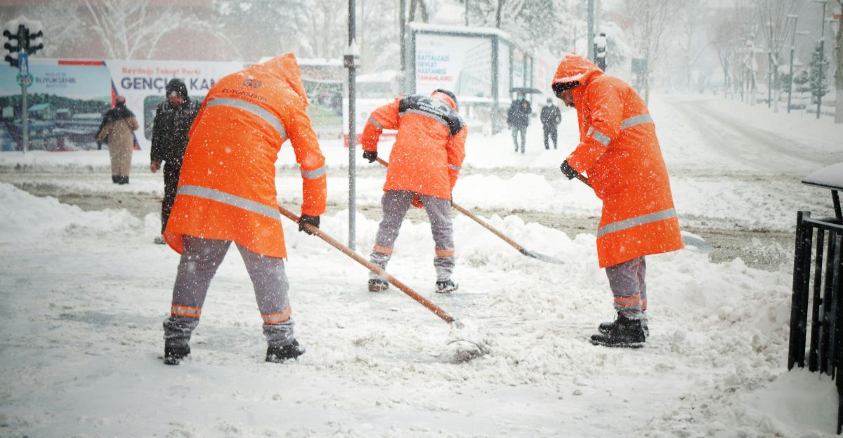
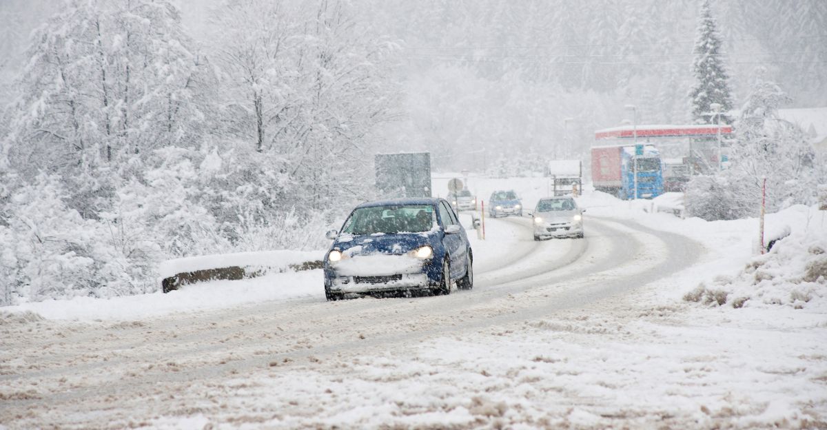
Snow swirled across the highway in rapid bursts, swallowing lane markers as a line of vehicles crawled forward with hazard lights blinking through the white haze. Wind gusts pushed powder sideways, forming sudden drifts that piled against guardrails and buried shoulders. Plows moved slowly in staggered formation, their orange lights flashing against the thick snowfall as crews attempted to clear a path before nightfall.
But this was only the opening hour of a system expected to intensify dramatically overnight.
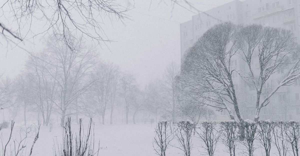
Why This Storm Is So Unusual
This event isn’t confined to the far north. It includes states as far south as Georgia and stretches into Alaska, New England, Appalachia, and the Rockies simultaneously. Meteorologists say the storm’s development required a rare alignment of weather drivers: Arctic air, Pacific jet-stream forcing, and residual fall warmth.
The result is explosive winter weather formation—cold enough to snow across large latitudes, and strong enough to generate blizzard-like gusts.
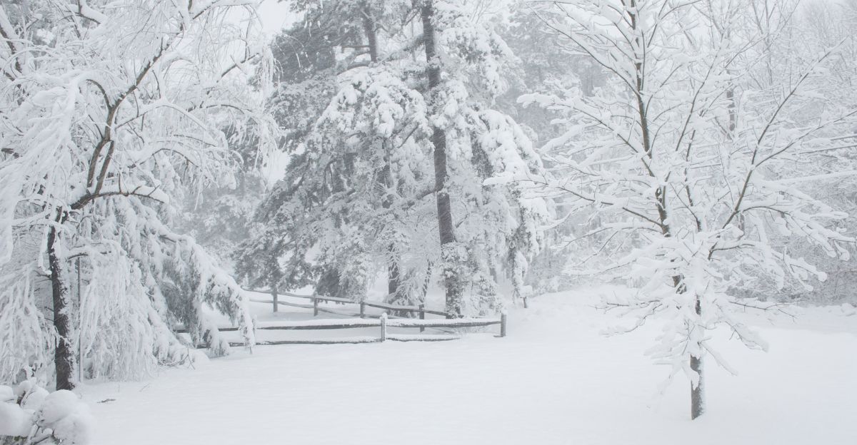
Where the Heaviest Snow Will Fall
Peak snowfall of up to 12 inches is expected in the Teton and Gros Ventre Mountains in Wyoming and the Green Mountains in Vermont. Other major totals include up to 10 inches in Alaska’s higher terrain, up to 9 inches in Montana’s northern Bighorn Mountains, and 5 to 10 inches across Wyoming’s Sierra Madre and Snowy Ranges.
Some ski regions will welcome it; however, drivers, hikers, and rural communities won’t.
Surprising Snow in the Deep South
Perhaps the most shocking outcome is that Georgia may see 5 to 9 inches of snow, with impacts most severe in Fulton County and surrounding areas.
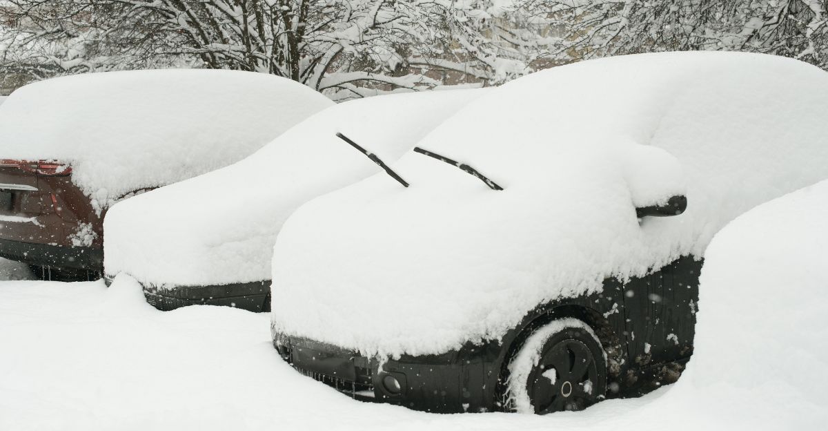
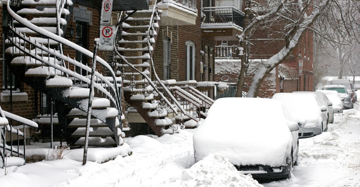
Forecasters warn that regions without snow-clearance infrastructure face major disruptions. Road crews lack plows; bridges freeze fast; school systems have limited contingency plans. Residents expecting a “light dusting” could face winter conditions equivalent to Vermont or upstate New York.
Maine Braces for Dangerous Coastal Impacts
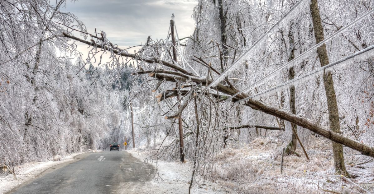
Much of coastal and interior Maine is expected to receive up to 8 inches of snow, paired with 35 mph winds. Emergency managers warn of scattered power outages, especially across coastal DownEast communities. Wet snow on power lines, combined with wind gusts, increases outage risk.
Residents are urged to prepare for cold homes, road closures, and communication disruptions.
Colorado Sees Front Range Trouble
Colorado’s southern Front Range foothills, Denver metro, and Palmer Divide could see up to 7 inches of snow, creating dangerous driving conditions along major highways.
As snow deepens, blowing and drifting become a serious hazard, especially on bridges and overpasses. Local meteorologists warn that visibility reductions could turn short drives into emergencies.
Pennsylvania and Ohio Face Commuter Chaos
Pennsylvania could see up to 6 inches of snow in counties such as Carbon and Monroe, with ice accumulation possible. Ohio may receive up to 5 inches, particularly across the north central and northeast regions.
Officials warn that during peak commute times, untreated roads may become impassable, and crash numbers are expected to surge.
Kentucky Hit With Ice and Travel Headaches
Kentucky is forecast to receive up to 3 inches of snow with localized ice accumulation, particularly across east, south-central, and southeast regions. While totals seem modest, officials warn that even small amounts of ice can cripple travel, especially on rural roads.
Drivers are urged to avoid overnight and early-morning travel, when black ice and freezing drizzle create invisible hazards.
Alaska Battles Arctic-Level Winds
Alaska will experience a dangerous combination of heavy snow, up to 0.20 inches of ice, and 50 mph winds, particularly along the Bering Strait coast and St. Lawrence Island.
Other parts of the state face 40 mph winds, deep snow, and hazardous rural travel. Forecasters warn that visibility may drop to near zero, and localized power outages are likely in exposed villages.
Wyoming Takes the Brunt
Wyoming regions, including the Teton, Gros Ventre, Sierra Madre, and Snowy Ranges, face up to 12 inches of snow and 50 mph winds. These conditions dramatically increase the risk of blowing and drifting snow, making search and rescue operations slow and dangerous.
Officials warn that hunters, hikers, and snowmobilers could become disoriented and lost.
Vermont Feels the Strain
Much of central and southern Vermont is set to receive 5–9 inches of snow, with heavier totals in the mountains. Rural communities face challenges clearing roads and maintaining access to healthcare and essential services.
Public safety officials warn that even routine errands could become dangerous, and travel should only occur if absolutely necessary.
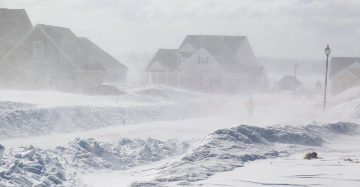
What Makes This Storm So Dangerous
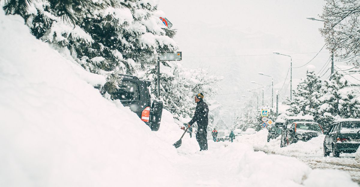
This isn’t just snow—it’s snow, ice, and wind hitting simultaneously across 12 states. Drivers face whiteout conditions, slippery roads, and sudden drifts that render highways impassable.
Rural areas may experience extended isolation, while urban areas face commuter gridlock and crash spikes. Forecasters stress that “road conditions may deteriorate faster than crews can respond.”
Travel Shutdown Expected
The National Weather Service issued rare guidance: “Delay all travel if possible.” Officials warn that hundreds of thousands of travelers may be stranded or delayed across airports and highways.
Major road networks could be restricted, especially in snow belts, coastal regions, and mountain passes.
Some families may face multi-day disruptions, depending on location and power infrastructure.
Power Outages and Emergency Calls
Forecasters anticipate that 50,000 to 100,000 homes could lose power, particularly across Maine and Alaska. Downed trees, freezing rain, and blowing snow complicate repairs.
Emergency services expect an uptick in calls, crashes, and medical incidents, with rural response times significantly delayed. State officials warn that residents should prepare for cold rooms, long waits, and limited mobility.
A Storm Worth Paying Attention To
This storm highlights a deeper truth: winter weather is becoming more volatile, not more predictable. A single event is capable of interrupting supply chains, stranding travelers, damaging infrastructure, and isolating communities across wide geographic regions.
From Alaska to Georgia, millions will experience the ripple effects of this system. Officials urge communities to prioritize preparedness, patience, and caution as another round of winter chaos arrives.
Sources:
NOAA Climate Prediction Center / National Weather Service Winter Outlook
Associated Press (AP) / Reuters Winter Storm Coverage (December 2025)
NOAA Weather Prediction Center – Winter Storm Outlook
PJM Interconnection Winter Outlook 2025