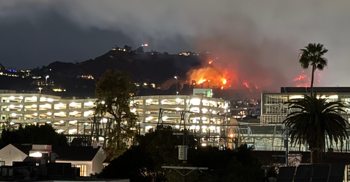
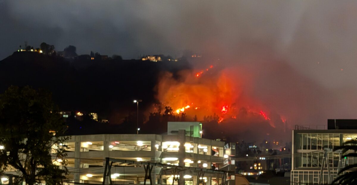
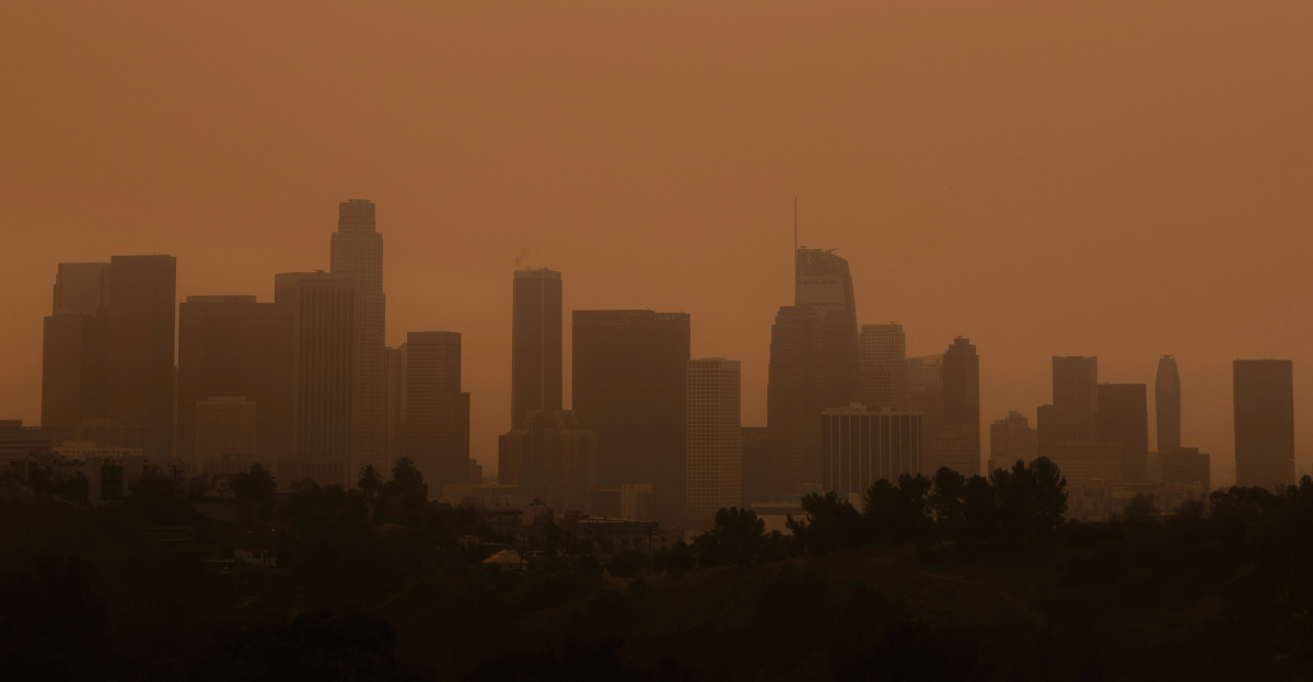
Clouds of dark smoke choked the Los Angeles skies as flames ravaged neighborhoods in January 2025. In the obscured distance, sirens cried as evacuation orders stacked by the hour, and the flames devoured entire blocks in days. This wasn’t a once-in-a-generation catastrophe. No, it was one of many.
By the end of the year, the U.S. would experience 23 billion-dollar weather disasters, averaging one billion-dollar disaster every 10 days, killing 276 people and causing $115 billion in damage. Let’s talk about it.
Relentless Pace

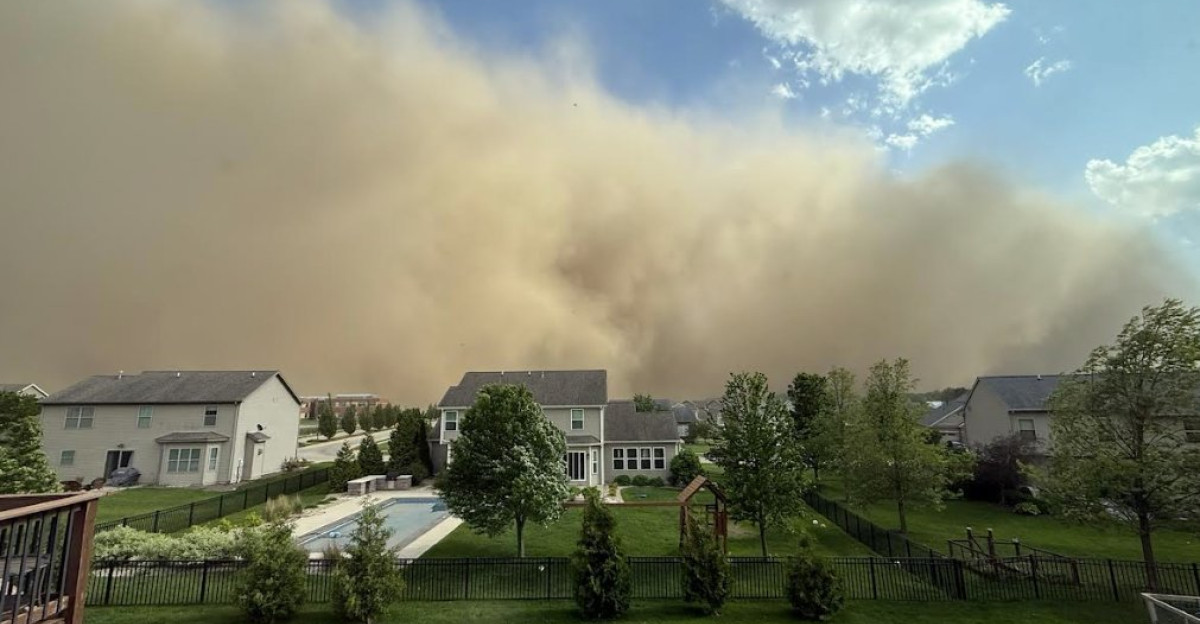
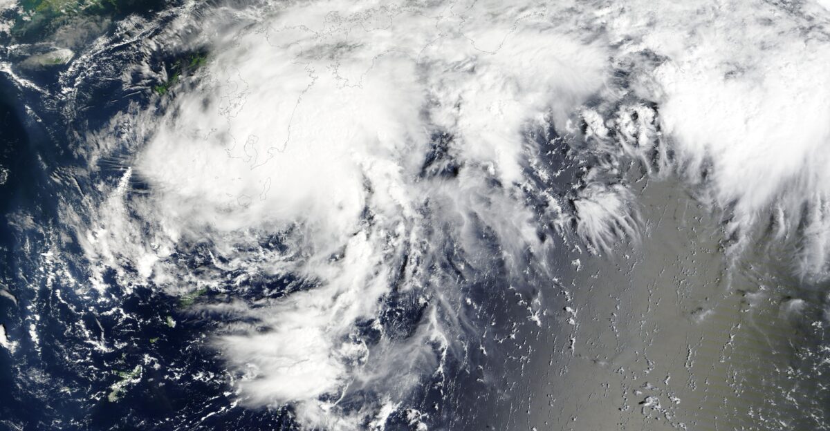
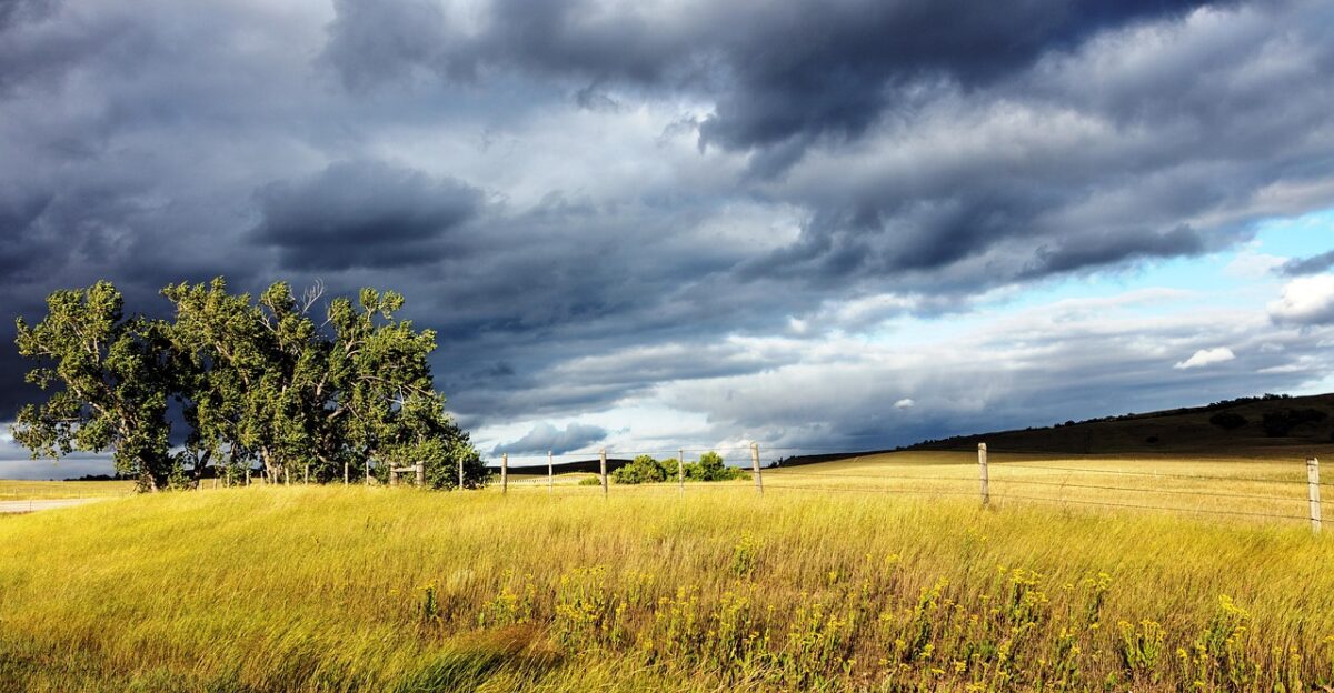
It’s no secret that 2025 was riddled with one billion-dollar disaster after another. These catastrophes took the form of floods, storms, fires, and tornadoes, each befalling Americans within a mere ten days of each other.
The disasters hit before communities could recover, causing entire regions to cycle from cleaning up after one disaster to evacuating from the next. Compared to the 1980s, when the gap between repeats was 82 days, 2025 experienced an eightfold increase, changing what “normal” disaster frequency looks like in America.
Tracking the Legacy
The U.S. has endured 426 billion-dollar disasters since 1980. Said disasters have claimed 17,194 people and cost the country $3.1 trillion. As the years have tracked on, the country has used NOAA’s tracking system as the gold standard for emergency planners, insurers, and government officials measuring risk.
However, in May 2025, the Trump administration halted the body’s updates. As expected, the timing raised concern among scientists and first responders.
Data Handover
Climate Central came in October 2025 to preserve the dataset, as climate losses continued to mount. It rehired NOAA’s former lead disaster economist, Adam Smith, to continue tracking billion-dollar events adjusted for inflation.
Uninterrupted records became necessary to understand the risk posed by encroaching disasters. Factors such as long-term planning and insurance exposure depend on the records. Without consistent data, policymakers warned, communities would be navigating disasters in the dark.
Record Toll Revealed
Climate Central reported that 2025 was rocked by 23 weather disasters totaling $115 billion in damage and resulting in 276 deaths.
This made 2025 the third-worst year after 2023 and 2024. Among the disasters, storms topped the list, accounting for 21 of the 23 recorded events. Nationwide damage toll from each event averaged $5 billion.
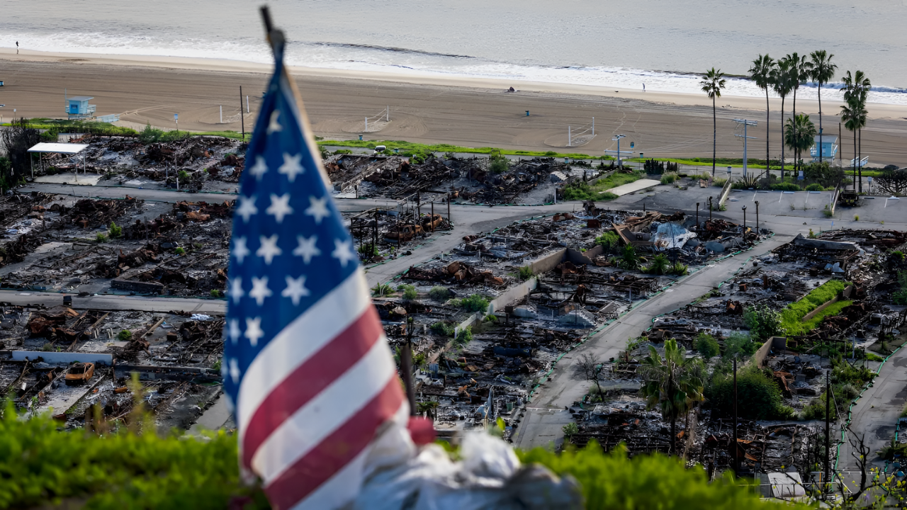
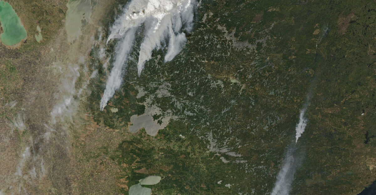
Wildfire Epicenter
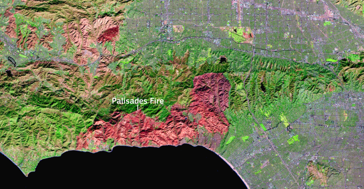
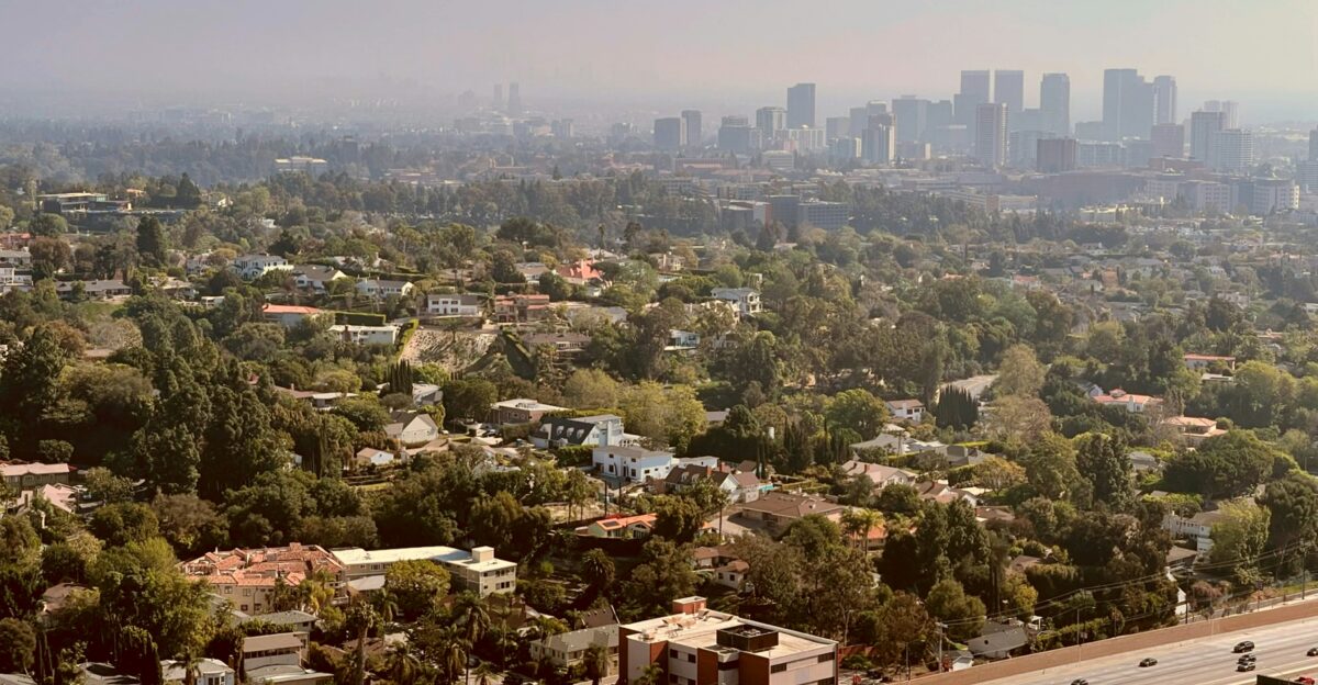
Between January 7th and 28th of 2025, Los Angeles suffered the costliest wildfire ever recorded in U.S. history.
Aside from destroying 16,000+ homes and businesses, the fire forced the evacuation of over 200,000 people and caused $61.2 billion in damages.
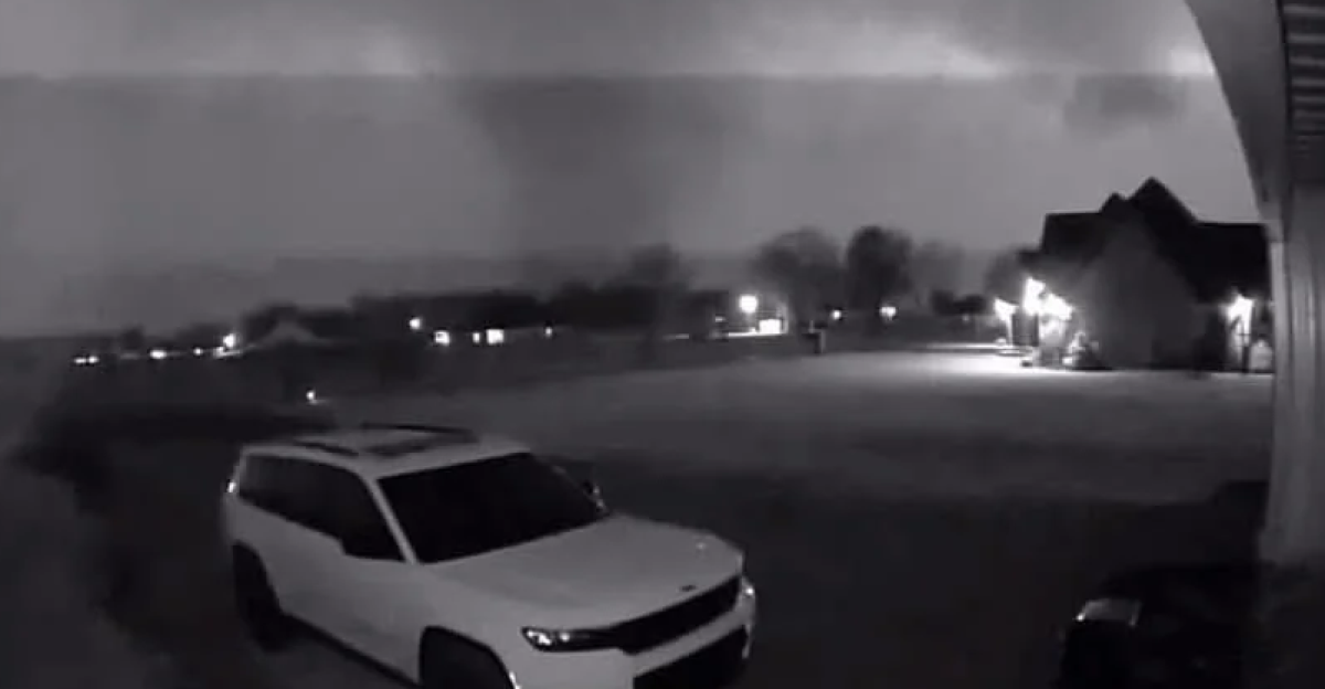
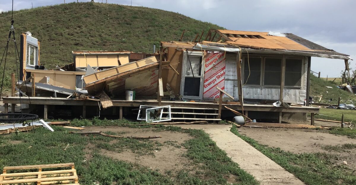
Tornado Devastation
Between March 14th and 16th, over 180 tornadoes befell eastern, southeastern, and central states. The storms claimed 43 lives and caused damage totaling $11 billion.
A mere two months later, an outbreak between the 15th and 17th of May added $6.3 billion more and killed 29 people. It also led to power outages affecting 600,000+ users.
Insurance Strain
Insurers termed the year “the new normal,” and how could they not? The disasters were relentlessly battering the country, with insurance companies warning of premium hikes and coverage pullbacks.
But these companies weren’t the only ones to be affected. Supply chains took a hit as southern agriculture suffered repeated losses from the storms. Manufacturers in the Midwest faced shutdowns due to power outages and flooding.
With NOAA’s data pulled, most insurance companies would have to rely solely on nonprofit data to calculate risk.
Climate Amplifier
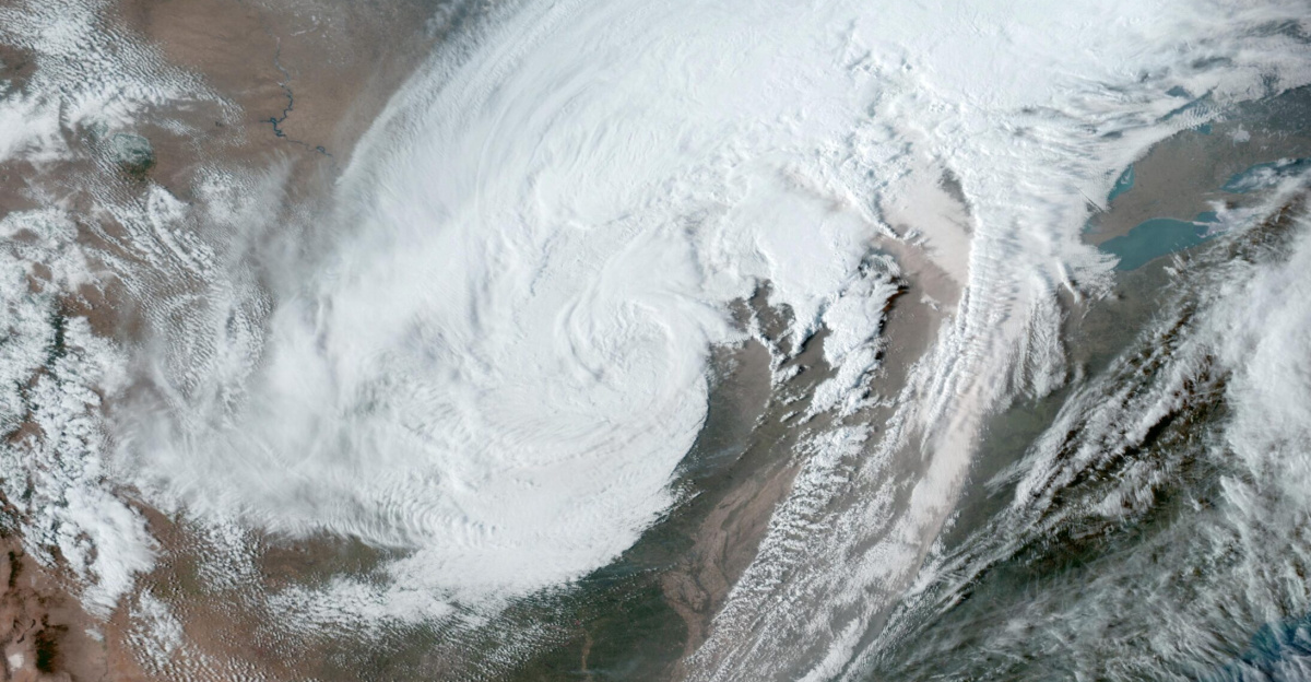
The South recorded heavier rainfall thanks to warmer Gulf waters, while the West experienced heat-fueled drought and heightened wildfire risk.
The gap between billion-dollar disasters, which had been 82 days in the 80’s, shrank to 10.
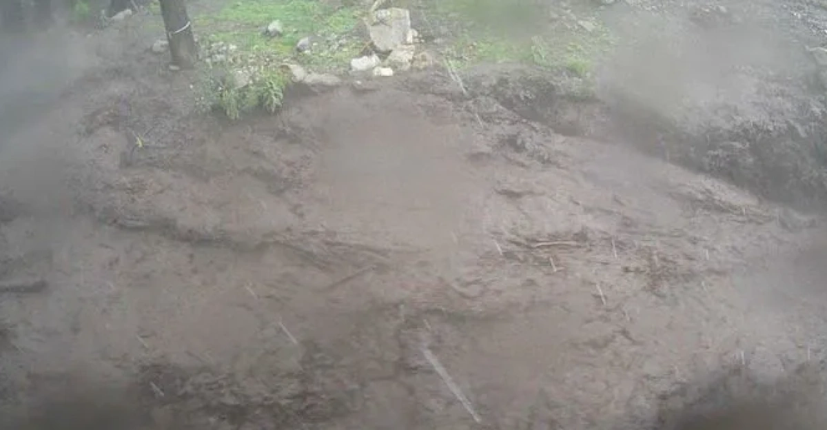
Storms Record Shattered

Hailstorms struck Texas and Colorado as flash floods inundated multiple regions. Collectively, 21 billion-dollar severe storms were recorded.
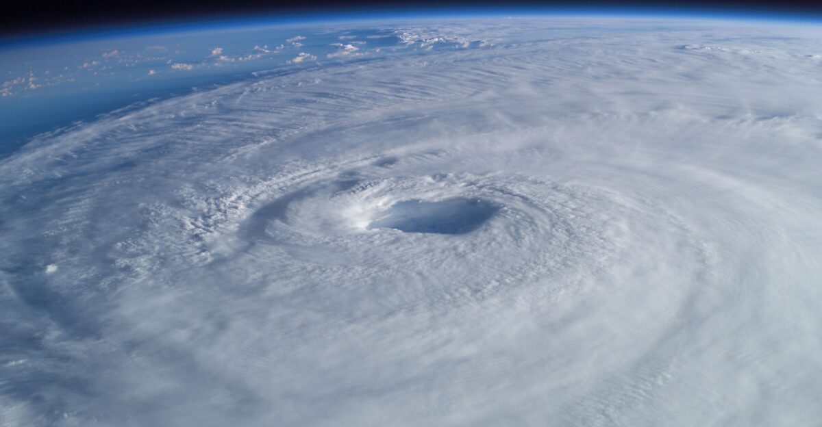
Major hurricane landfalls were absent throughout the year thanks to a rare atmospheric pattern that shielded the Southeast. Without this occurrence, damages would have risen well above $200 billion.
Expert Alarm
Halting NOAA’s data prompted a response from Adam Smith, who stressed the data’s importance and its role in decision-making.
Official tracking tools that help the country better understand the economic impact of such climate-driven crises became the focus of many discussions, with federal responsibility during such trying times being questioned.
Leadership Pivot
Adam Smith got hired by Climate Central. Among his roles was leading the revived disaster database so that NOAA’s work could continue.
Among Smith’s analyses was the finding that current estimates didn’t capture the full picture of real losses. Factors such as long-term health effects from wildfire smoke would impact the result.
Rebuild Efforts
What’s even more interesting is that recovery was uneven across the board. Los Angeles survivors faced displacement and trauma, while populations in tornado-stricken areas saw federal aid.
However, many states began bolstering their mitigation efforts while their citizens worked to rebuild their lives. Insurers also updated their catastrophe models.
Skeptical Outlook
While the 2025 disasters shook the country, the totals are still conservative. Experts are considering deaths that will result from aspects such as smoke exposure, which are currently uncounted for in official tallies.
The absence of major hurricanes is a boon; if any had made landfall, the year could have seen destruction totaling $215 billion.
Horizon Warning
Since 2026 has just begun, it’s still unknown whether it will surpass 2025 in terms of natural disasters.
Climate Central is exploring measures to assess past events, which could help track emerging risks.
Policy Fallout
It’s worth noting that Democrats introduced bills to restore federal disaster tracking. On the other hand, Republicans have cited budget constraints.
The result of this standoff is that communities across the country are missing a coordinated national strategy to help them prepare for incoming natural disasters.
Global Echoes
But 2025 wasn’t only tough on the U.S., as around the world, weather disasters totalled $220 billion in losses.
From floods and cyclones to hurricanes sweeping across nations, climate-amplified disasters were recorded in several regions of the world.
Eco Legal Battles

In Los Angeles, lawsuits based on utility negligence were filed. Water rights conflicts intensified as the Western drought persisted.
Due to population growth, development has been pushing into fire-prone areas, leading to renewed interest in environmental regulations.
Societal Shift
The effects of the 2025 disasters on communities across the country are clear. Younger generations are pushing for stronger climate action.
There’s a need for repeated strengthened mutual-aid networks, as communities redefined preparedness as ongoing survival.
New Normal Dawns
Given the results recorded in 2025, it’s clear that extreme weather is now routine.
Climate change’s toll is increasing as intervals between disasters continue to shrink. It raises urgent questions about how fast resilience can keep pace.
Sources:
LAist/Grist, “In 2025, the US suffered a billion-dollar disaster every 10 days”, January 2026
Earth.org, “2025 Third-Highest Year for Billion-Dollar Climate Disasters in US”, January 2026
ABC News, “The US experienced nearly two dozen billion-dollar weather and climate disasters in 2025”, January 7, 2026
Climate Central, “Now at Climate Central: U.S. Billion-Dollar Weather and Climate Disasters”, October 2025