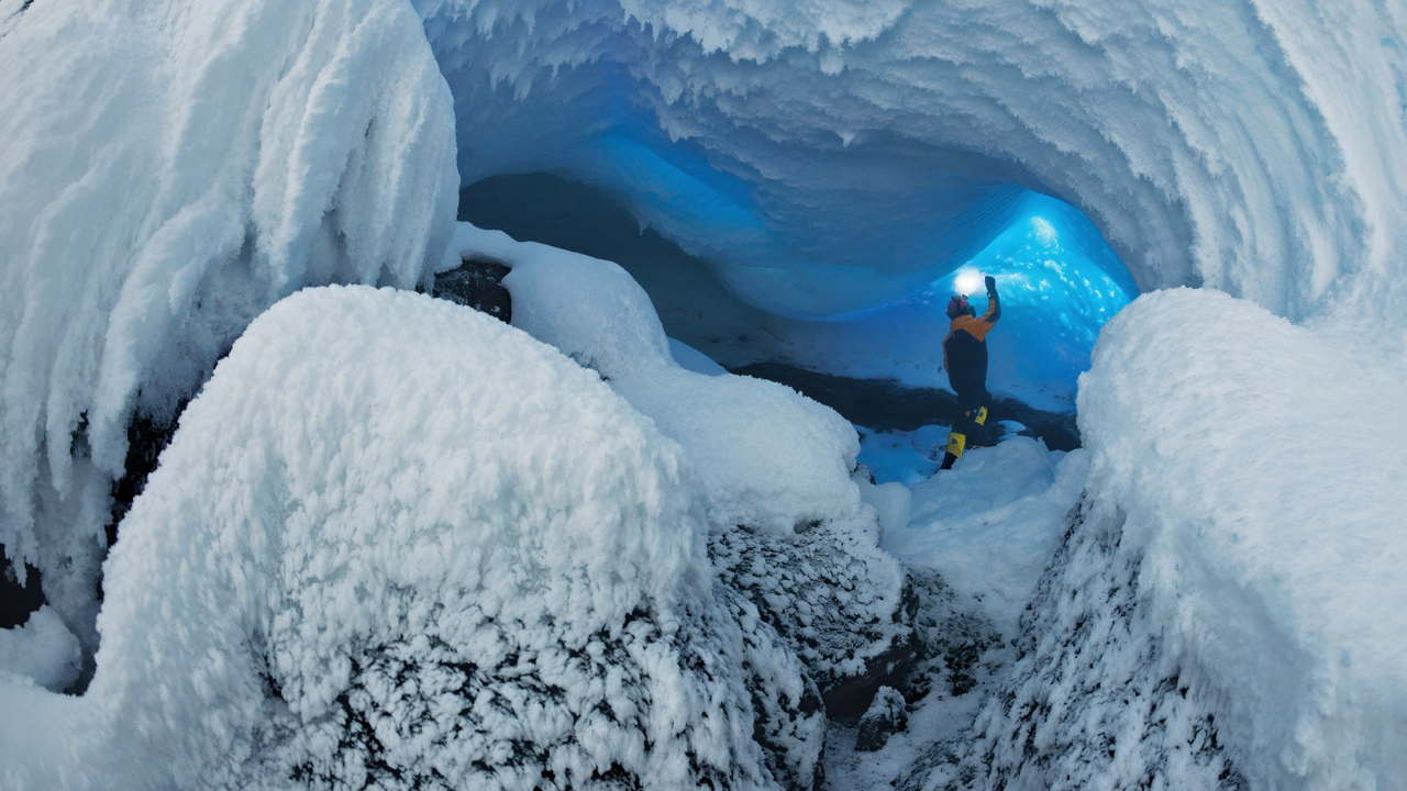
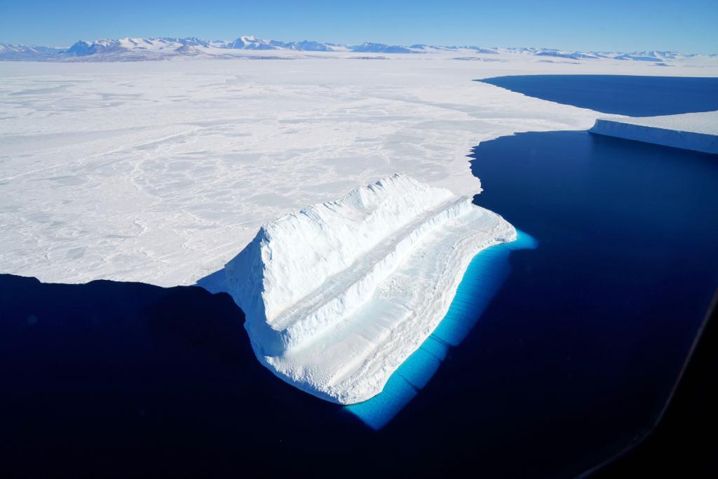
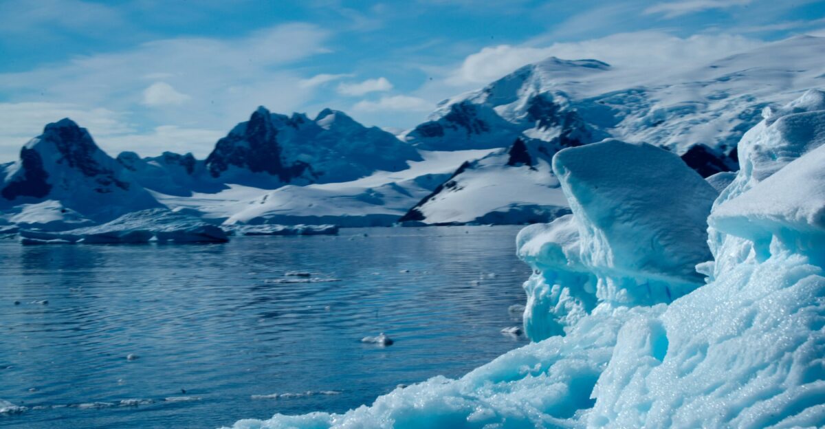
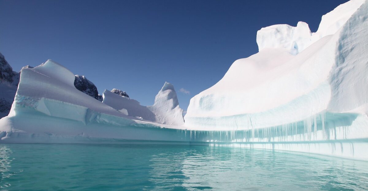
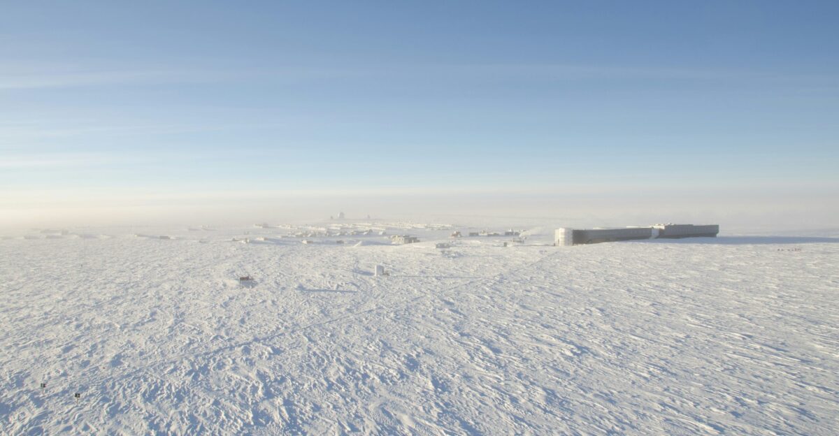
Scientists searching for Earth’s oldest continuous Antarctic ice near the South Pole Basin have identified an unexpected complication beneath what was long considered a stable drilling target.
Airborne radar surveys conducted by the University of Texas Institute for Geophysics revealed disturbed basal ice and trace sediment near the ice-bed interface. These findings suggest that some of the deepest ice layers may have been altered from below, raising new questions about how well the oldest climate records are preserved.
Why Ancient Ice Can Be Altered From Below
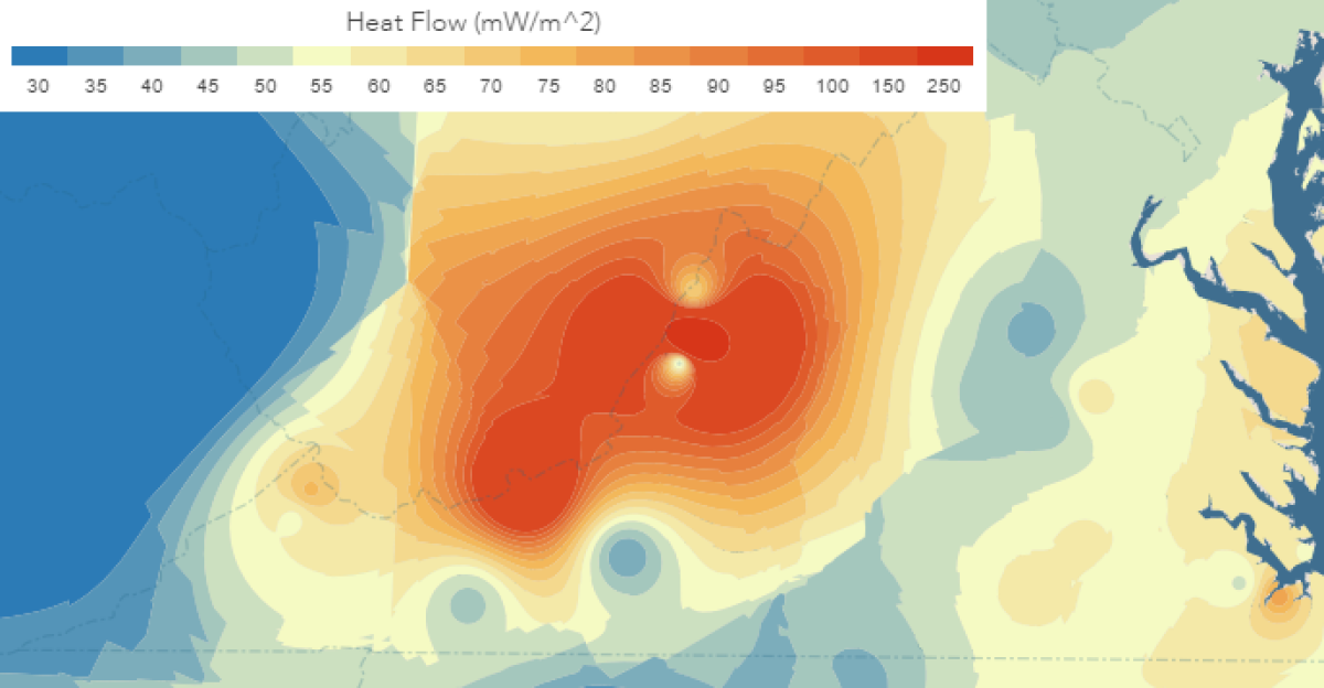
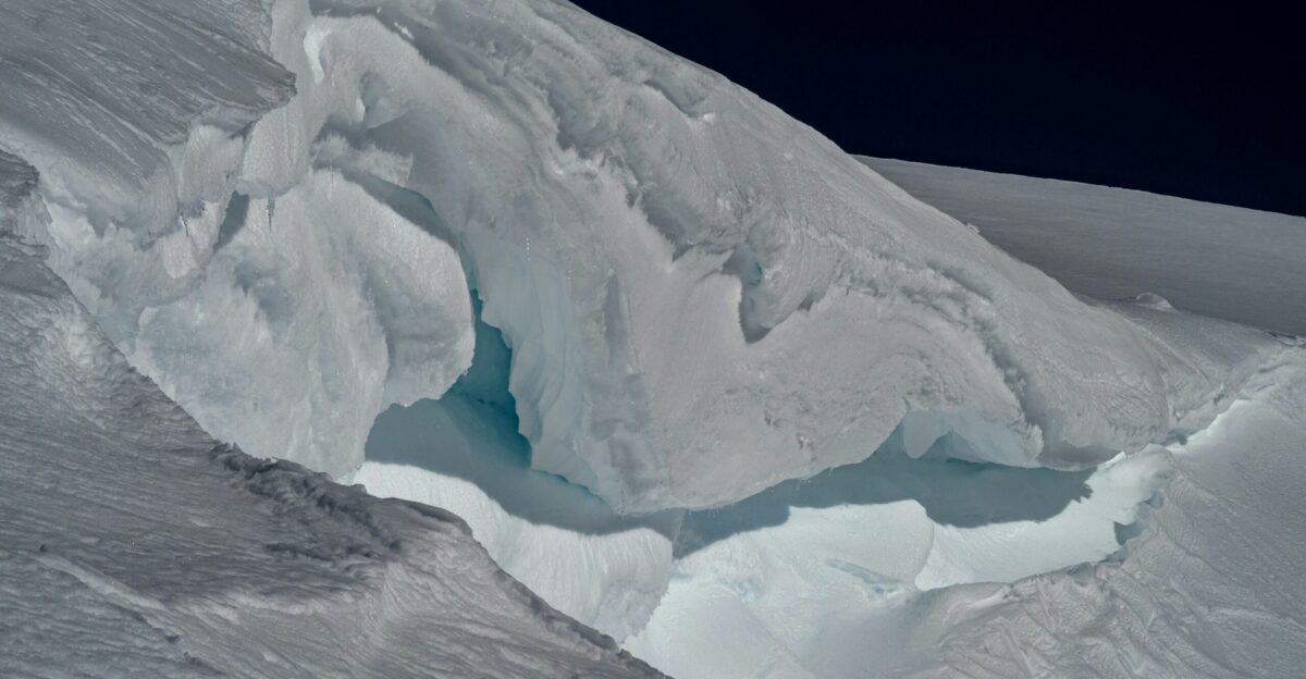
The disturbance is linked to localized geothermal heat beneath East Antarctica’s ice sheet. According to UTIG researchers, slow basal melting has likely occurred where heat flow is higher and bedrock is sediment-rich.
Over millions of years, ice moving across buried mountains can melt, refreeze, and transport small amounts of sediment. This process challenges the assumption that deep Antarctic ice remains completely frozen and undisturbed over very long timescales.
What This Means for Climate Records
Antarctic ice cores provide the most detailed record of Earth’s past atmosphere, including greenhouse gas levels and temperature changes. The oldest continuous cores currently extend back about 800,000 years.
If basal melting disrupts or removes sections of deep ice, some of that continuous record may be incomplete. While surface ice remains intact, scientists must carefully verify that the deepest layers still preserve an unbroken climate history.
Drilling Plans Adjusted in Response
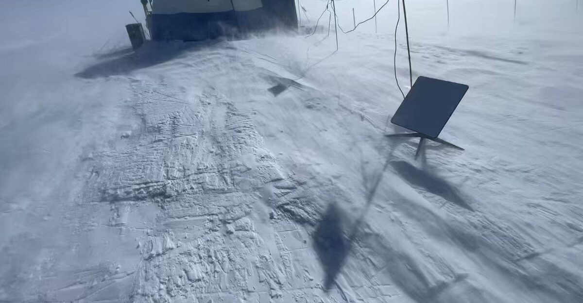
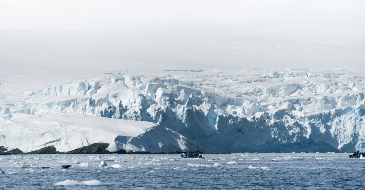
The radar findings prompted researchers with the National Science Foundation–funded Center for Oldest Ice Exploration (COLDEX) to reassess planned drilling sites near the South Pole.
Rather than drilling directly above areas showing basal disturbance, teams are shifting attention upstream to locations where ice appears colder and bedrock heat flow is lower. These adjustments aim to improve the chances of recovering undisturbed, very old ice.
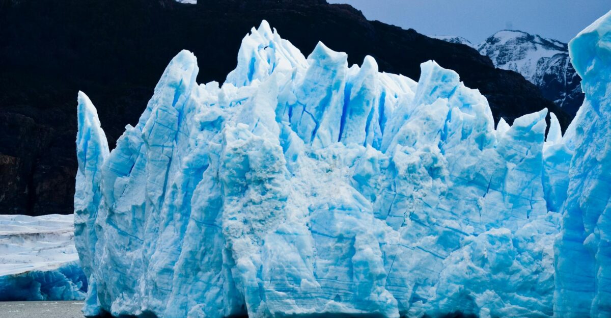
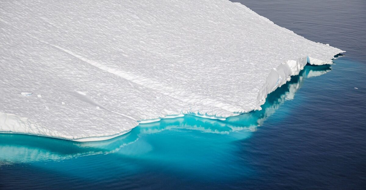
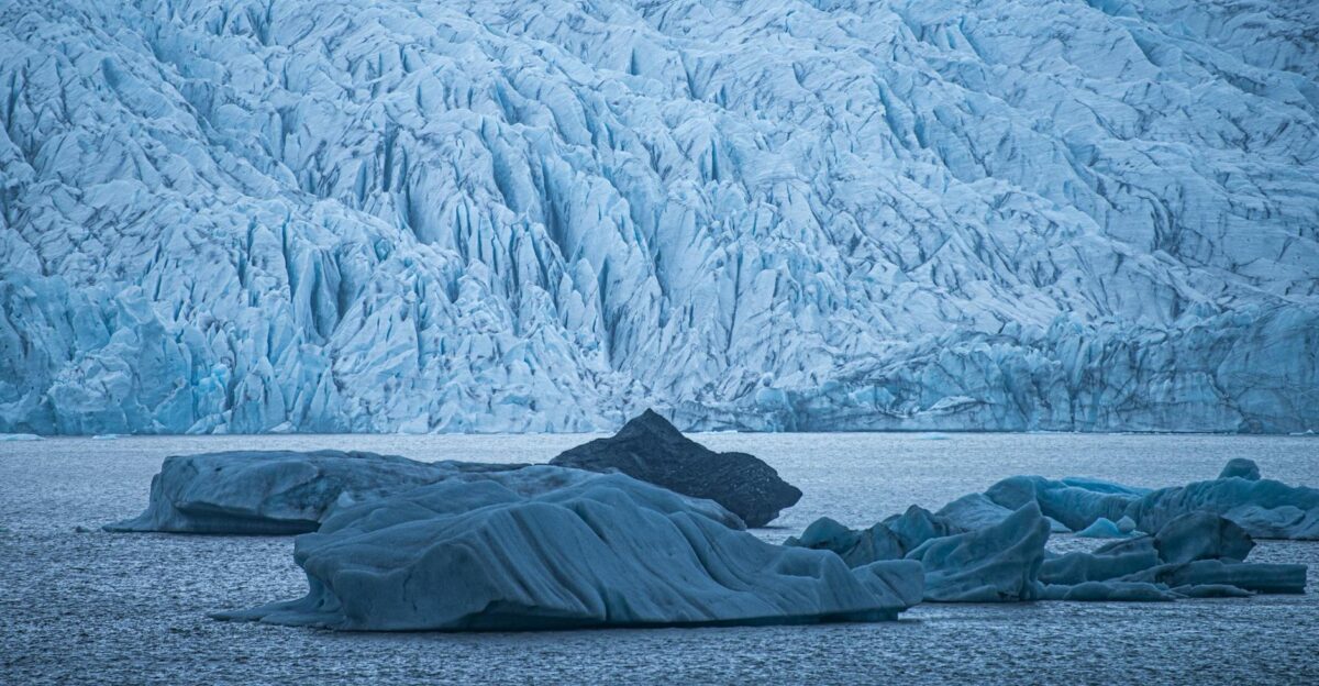
Blue-Ice Areas Gain New Importance
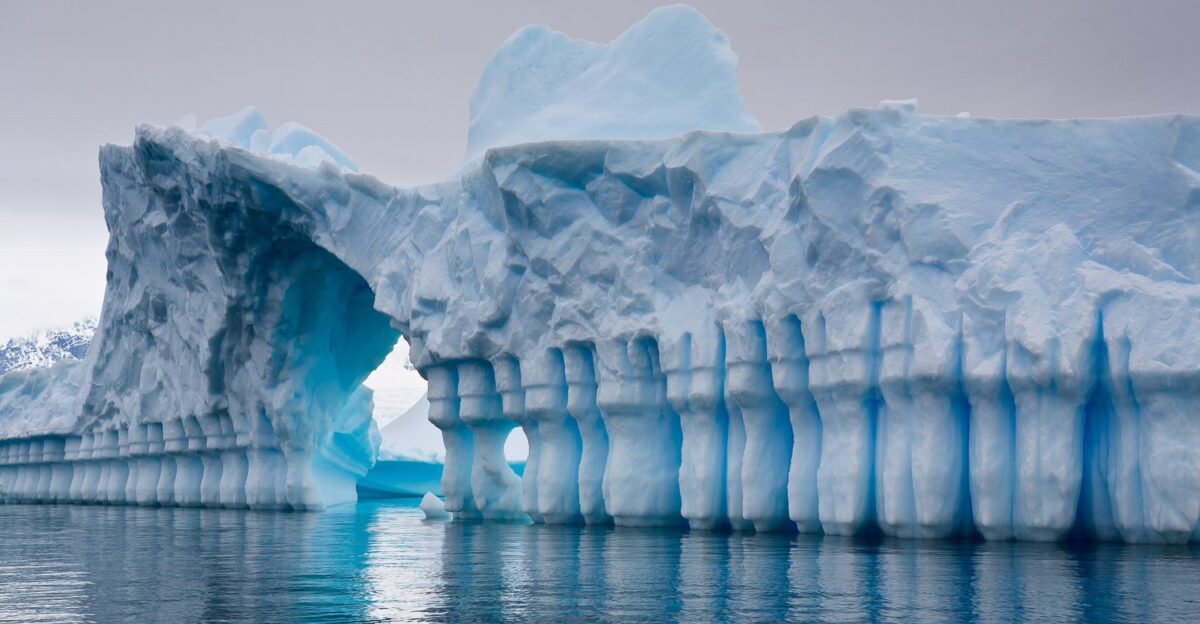
As deep ice basins face added scrutiny, scientists are also turning to Antarctic blue-ice areas such as the Allan Hills.
In these regions, ice flow and wind erosion naturally bring ancient ice closer to the surface. While these samples are discontinuous, recent studies have recovered ice dating back as far as six million years. Such finds provide valuable snapshots of ancient climates that complement continuous deep-core records.
Why Long Ice Records Matter Globally
Long Antarctic ice-core records help scientists estimate Earth’s climate sensitivity—how much temperatures respond to rising carbon dioxide. These estimates underpin projections of future warming and sea-level rise used by governments worldwide.
Any uncertainty about the integrity of the deepest ice layers does not invalidate climate science, but it does increase the importance of finding and confirming alternative sites with well-preserved ancient ice.
A Discovery That Challenged Expectations
Lead researcher Duncan Young described the findings as unexpected. Radar data indicate that basal ice has interacted with a buried mountain range, picking up trace sediment as it melted and moved downslope.
Rather than rivers or surface erosion, this process reflects slow ice movement combined with geothermal heat. The result is a previously unrecognized type of subglacial sediment accumulation beneath the Antarctic ice sheet.
Funding Pressure on Polar Science
The discovery underscores the need for sustained investment in Antarctic research. Programs such as COLDEX and Europe’s Beyond EPICA require multi-year funding for radar surveys, drilling campaigns, and laboratory analysis.
As scientists work to locate ice older than one million years, maintaining consistent financial support becomes critical to avoid losing irreplaceable climate records to natural basal processes.
Sea-Level Projections and Uncertainty
Antarctica plays a central role in long-term sea-level projections. While the basal melting identified in the South Pole Basin does not directly indicate rapid ice-sheet collapse, it highlights the complexity of ice–bed interactions.
Understanding where ice is stable—and where it is not—helps refine projections used by coastal planners, insurers, and infrastructure designers preparing for future sea-level rise.
Implications for Climate Risk Assessment
As new Antarctic findings emerge, climate-risk assessments increasingly account for uncertainties in ice-sheet behavior. Businesses and governments evaluating long-lived assets, such as ports and coastal facilities, rely on these assessments.
Improved understanding of basal heat flow and ice stability allows for better modeling, even when discoveries reveal that some previously assumed “ideal” ice archives are less pristine than expected.
Changing the Public Story of Antarctica
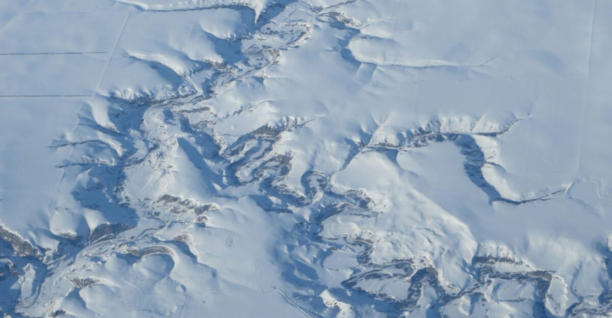
Antarctica is often portrayed as a static, untouched environment. Research showing geothermal heat, moving ice, and subglacial landscapes paints a more dynamic picture.
Science-tourism and educational outreach programs are increasingly emphasizing this complexity, helping the public understand that even Earth’s coldest continent is shaped by deep geological and thermal processes operating over millions of years.
Insights Beyond Climate Science
Mapping geothermal heat and sediment beneath Antarctic ice has applications beyond paleoclimate research. These data improve understanding of Earth’s crustal structure and heat flow, information relevant to geophysics worldwide.
While the Antarctic Treaty prohibits resource extraction, the scientific insights gained contribute broadly to models of continental evolution and geothermal systems on other continents.
Lessons From a Warmer Ancient Earth
Ice dating back several million years shows that Earth has experienced much warmer conditions and higher sea levels than today.
When combined with evidence of basal melting beneath current ice sheets, these findings reinforce the idea that the climate system can change dramatically over long periods. They provide context for evaluating how modern greenhouse gas levels compare with deep-time climates.
Public Health and Long-Term Planning
Evidence from Antarctic ice informs projections of heatwaves, flooding, and other climate-related risks. Public health agencies use these projections to plan for heat stress, water security, and disaster preparedness.
While ancient ice loss itself poses no immediate health threat, the information it contains helps societies anticipate and reduce long-term climate-related health impacts.
Cultural and Ethical Questions
Discoveries that threaten ancient climate archives raise ethical questions about stewardship of Earth’s natural records.
Environmental groups often point to Antarctic research as evidence that human-driven warming could push natural systems beyond thresholds scientists are only beginning to understand. The loss of any portion of the climate record is seen not as a catastrophe, but as a call for urgency and care.
Shifting Scientific Strategies
The findings do not end the search for the oldest ice, but they do reshape it. Continuous 800,000-year cores remain invaluable, yet scientists increasingly rely on multiple approaches: deep drilling, blue-ice sampling, and advanced radar mapping.
Collaborative efforts among U.S., European, and international teams have become essential to building a complete picture of Earth’s climate history.
How Investors Interpret Antarctic Science

Some investors tracking physical climate risk follow Antarctic research closely. Improved understanding of ice stability influences expectations about long-term sea-level rise.
This can affect interest in resilient infrastructure, coastal adaptation bonds, and renewable energy projects. Scientific findings do not dictate markets, but they inform risk assessments used by long-term planners and asset managers.
Practical Takeaways for the Public
For individuals, Antarctic discoveries reinforce existing guidance rather than introduce new risks. Coastal residents can review flood maps and insurance coverage, while others can reduce emissions through efficiency and transport choices.
Supporting public funding for climate research helps ensure scientists can continue refining projections that inform community planning and resilience efforts.
The Next Stage of the Oldest-Ice Search
COLDEX plans further airborne radar surveys and targeted field campaigns through the late 2020s.
At the same time, European teams at Little Dome C have already recovered ice older than 1.2 million years, with analysis ongoing. Together, these efforts aim to extend Earth’s climate record even if some deep-basin sites prove less suitable than once hoped.
Why the South Pole Basin Findings Matter
The South Pole Basin discovery shows that even Antarctica’s most promising ice archives must be carefully evaluated.
Geothermal heat, bedrock topography, and ice flow can subtly reshape deep ice over immense timescales. Recognizing these processes improves scientific accuracy and strengthens future climate research—ensuring that the planet’s oldest climate stories are preserved wherever possible.
Sources:
- “While searching for the world’s oldest ice, scientists find sediment sneaking under the Antarctic ice sheet” – University of Texas Institute for Geophysics (UTIG) / Geophysical Research Letters (paper)
- Press and explainer materials on South Pole Basin basal heat and COLDEX – University of Texas Institute for Geophysics (UTIG)
- “Miocene and Pliocene ice and air from the Allan Hills blue ice area” – Proceedings of the National Academy of Sciences (PNAS)
- “Antarctica’s oldest ice arrives for climate analysis” and related oldest‑ice coverage – British Antarctic Survey (news and feature articles)
- “Historic drilling project finds ice over 1.2 million years old” – Astrobiology / BAS‑affiliated news release