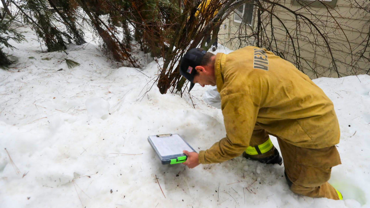
A harsh winter storm has gripped the heartland of America, freezing normal life for millions.
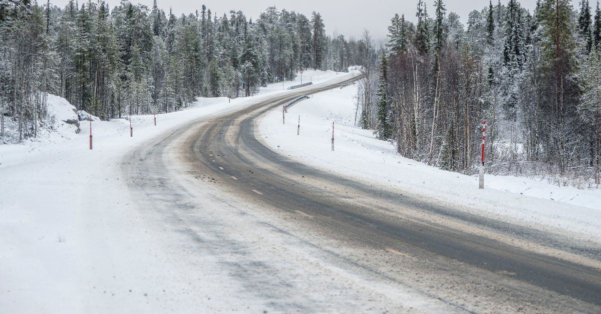
Fast-moving snow systems turned highways into parking lots and buried neighbourhoods in white. This early, severe weather caught many off guard and disrupted plans for the month of December.
Weather officials describe it as a “remarkably active start” to winter, with impacts extending far beyond typical snowfall.
Travel Chaos
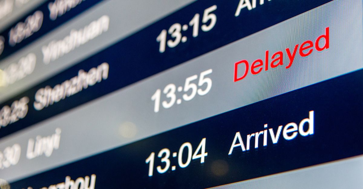
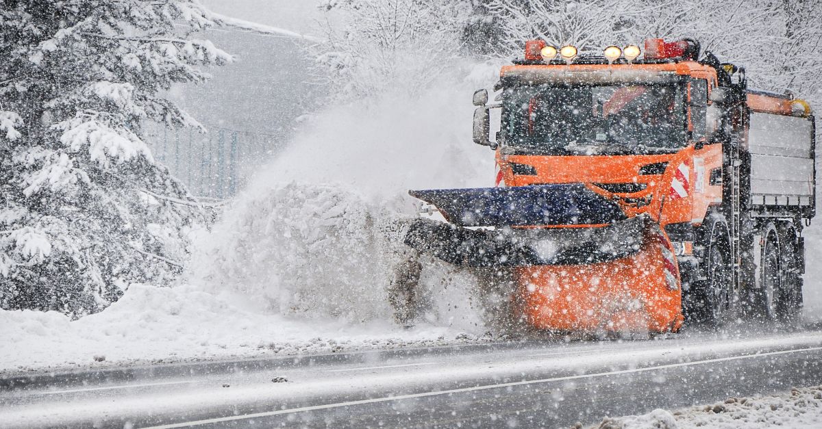
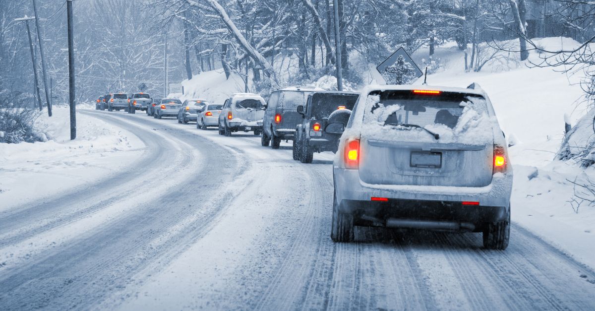
Heavy snow has crippled transportation networks and stranded travellers everywhere.
Major airports report significant disruptions as crews struggle to combat falling snow.
Between 1,000 and 2,000 flights have been delayed or cancelled. Icy roads force millions to cancel plans as ploughs cannot keep up with the storm.
Relentless Assault
This is not one bad weather day—it’s a week-long siege. Since late November, residents have faced wave after wave of snow with no time to recover between storms.
The constant battering has created massive snowdrifts, blocked streets, and drained city budgets. The nonstop assault has tested the entire region’s ability to cope.
Widening Scope

This winter crisis is spreading across a vast area of America. Weather alerts now cover 18 million people from the Mountain West to Ohio.
The geographic reach demonstrates the immense power of these storms. As wind chills plunge and snow continues, more communities brace for impact.
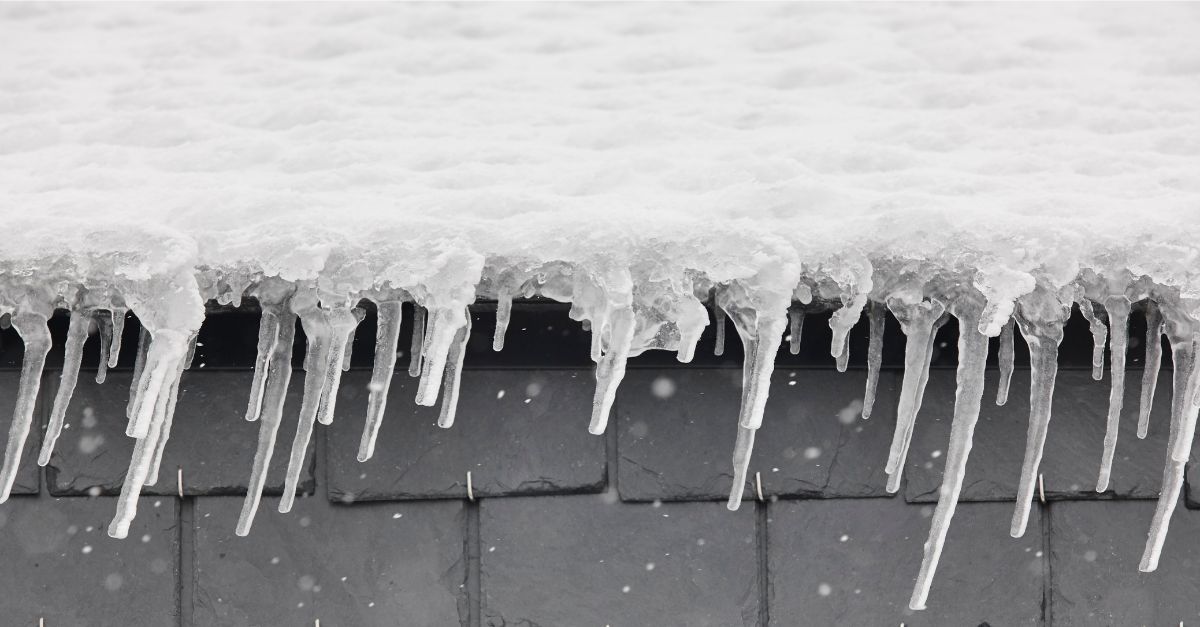
Records Shattered

On December 7, Rockford, Illinois, broke a 56-year snowfall record. The city received 4.9 inches, surpassing the 1969 record of 4.6 inches.
From November 29 to December 7, the region accumulated over 15 inches of snow.
This nine-day period rivals full-month totals from typical winters, cementing a historic event.
Sharp Divide
Snow fell unevenly across the region, creating a sharp divide. Areas north of Interstate 80 received the worst, with 6 to 7 inches of snow. Towns just miles south got much less. This split complicated rescue efforts, forcing resources to rush to the hardest-hit zones where travel stopped.
Digging Out

Three million residents in the Chicago area face exhausting daily routines. Families wake to shovel driveways and sidewalks repeatedly.
With 15 inches of snow fallen, clearing snow is no longer optional—it’s essential for leaving the house.
The weight and volume turn simple tasks like mail collection into heavy labour sessions.
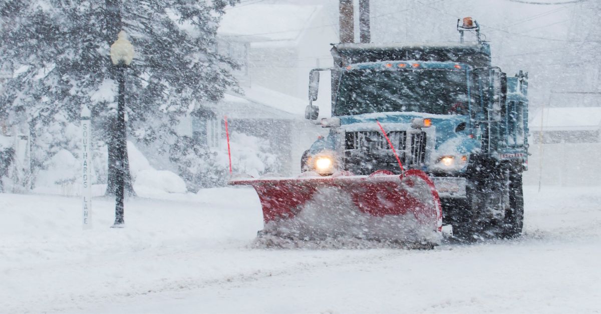
Municipal Strain
Constant snowfall crushes city services and exhausted crews. In Rockford and the suburbs, ploughs struggle to clear main roads, much less side streets.
Snow accumulates as fast as ploughs clear it. Around-the-clock work drains budgets and personnel.
With frozen ground and nowhere to pile more snow, cities face a crisis.
Active Pattern

National Weather Service meteorologists call this sequence a “remarkably active start” to winter.
Fast-moving “clippers” sweep down from Canada, rapidly dumping snow across the Midwest. Unlike slow storms, these systems bring bitter cold and dry snow.
Unusual frequency leaves no break for melting. The jet stream locks the region in a storm corridor.
O’Hare Buried
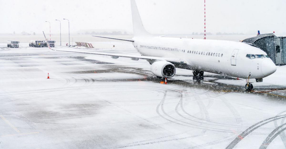
Chicago’s O’Hare Airport quietly piled up massive totals. This latest storm added 4.8 inches.
Combined with 8.7 inches from late November, the airport received roughly 13.5 inches in one week.
Surrounding suburbs exceeded 15 inches. These huge totals at America’s busiest hub explain the flight chaos and demonstrate the extent of the snowfall.
Commuter Nightmare
The timing devastated commuters. Snow fell late Saturday into Sunday morning as travellers drove home.
Weather officials warned of treacherous roads. Cameras showed vehicles sliding off icy pavement.
For millions in Chicago, the snow gradient meant conditions changed from wet to impassable within just a few miles, turning simple drives into dangerous struggles.
Northern Impact
Northern suburbs and southern Wisconsin bore the brunt. Rockford officially recorded 4.9 inches, but nearby Sleepy Hollow received over 7.1 inches.
Heavy snow north of I-80 shut down local businesses and forced residents indoors.
This unpredictable snowfall pattern illustrates how a 20-mile shift can change outcomes from a minor nuisance to a paralysing accumulation requiring heavy equipment.
Indiana’s Share

The storm reached beyond Illinois into northwest Indiana. Communities like Chesterton received 4 inches of fresh snow.
This multi-state hit confirms the Midwest-wide scope of the crisis. Snow accumulated along I-80/90, a key truck route between the Midwest and the East Coast.
The synchronised impact on Chicago and Indiana bottlenecked supply chains and transit.
No Relief

The most troubling forecast concerns what comes next. Meteorologists warn this active pattern shows “no signs of letting up.”
Atmospheric conditions feeding these clippers remain locked in place. Residents exhausted from nine days of shovelling face more storms ahead.
Weather officials urge constant vigilance as recovery windows between storms continue to shrink dangerously.
Winter’s Warning
As the Midwest digs out from over 15 inches in nine days, one question looms: Is this the new normal for 2025?
Records already fell in early December, forcing millions to repeatedly clear homes. The “remarkably active start” warns the region to prepare.
With 18 million under alert, all eyes are on the western horizon for the next crisis-making system.
Sources
- National Weather Service Chicago, 7 Dec 2025
- Times of India, 6 Dec 2025
- CBS News, 30 Nov 2025
- Rockford Weather Alert, 4 Dec 2025
- NWS Chicago (X), 7 Dec 2025
- iHeartRadio, 6 Dec 2025