Buffalo hit 61 degrees last Friday—about 30 degrees warmer than normal for January. This weather felt more like late April than winter.
AccuWeather meteorologist Dan Pydynowski says the region is facing a dramatic shift. Within a week, temperatures are expected to plummet from the low 60s to the low 20s.
This shift will change the entire weather pattern. Scientists have tracked this disruption in the upper atmosphere since early January. It promises to bring one of the coldest periods of the season.
The Polar Vortex Awakens
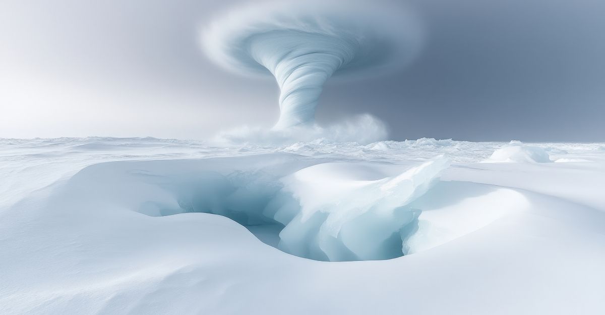
A rare event is happening high above Earth. Scientists found a Sudden Stratospheric Warming event. This disrupts the polar vortex about 19 miles up. Forecasters say this is the earliest such event in 70 years.
The warming releases huge amounts of Arctic air. This air moves south into North America and Europe. Meteorologists say this stratospheric change has a direct impact on ground-level weather. It delivers bitter cold to cities across continents.
Record Warmth Precedes the Freeze
Before the cold arrived, the continent saw unusual warmth in January. The Northern Plains and Upper Midwest set record warm lows in the 30s and 40s. Atlanta reached 78 degrees on December 24, breaking the record.
Similar warm records fell across the South and Midwest. The Weather Prediction Center confirmed record minimums across the Northern and Central Plains. This transition from warmth to cold is typical of polar vortex disruptions.
Multiple States Bracing for Impact
At least 25 U.S. states now face winter weather alerts. The storm spans from the Great Lakes through the Appalachian Mountains to the Southeastern United States. Winter storm warnings and blizzard watches are in effect for New York, Michigan, Pennsylvania, Ohio, North Carolina, and Tennessee.
The National Weather Service issued alerts through Tuesday morning, January 14. Meteorologists warn the system will grip the region beyond midweek. Multiple rounds of snow are expected.
The Lake-Effect Snow Hammer

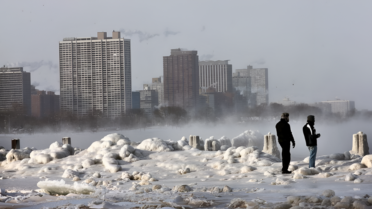
Western New York faces intense lake-effect snow bands. The National Weather Service Buffalo office warns of up to 12 inches of snow. Some areas may get 15 to 18 inches. Wind gusts will reach 45 mph near Lake Erie.
Buffalo saw similar conditions earlier this month when 24.2 inches fell in one day—the second-snowiest day in 123 years. The Weather Service expects comparable impacts this round.
Commute Chaos Threatens Buffalo Region
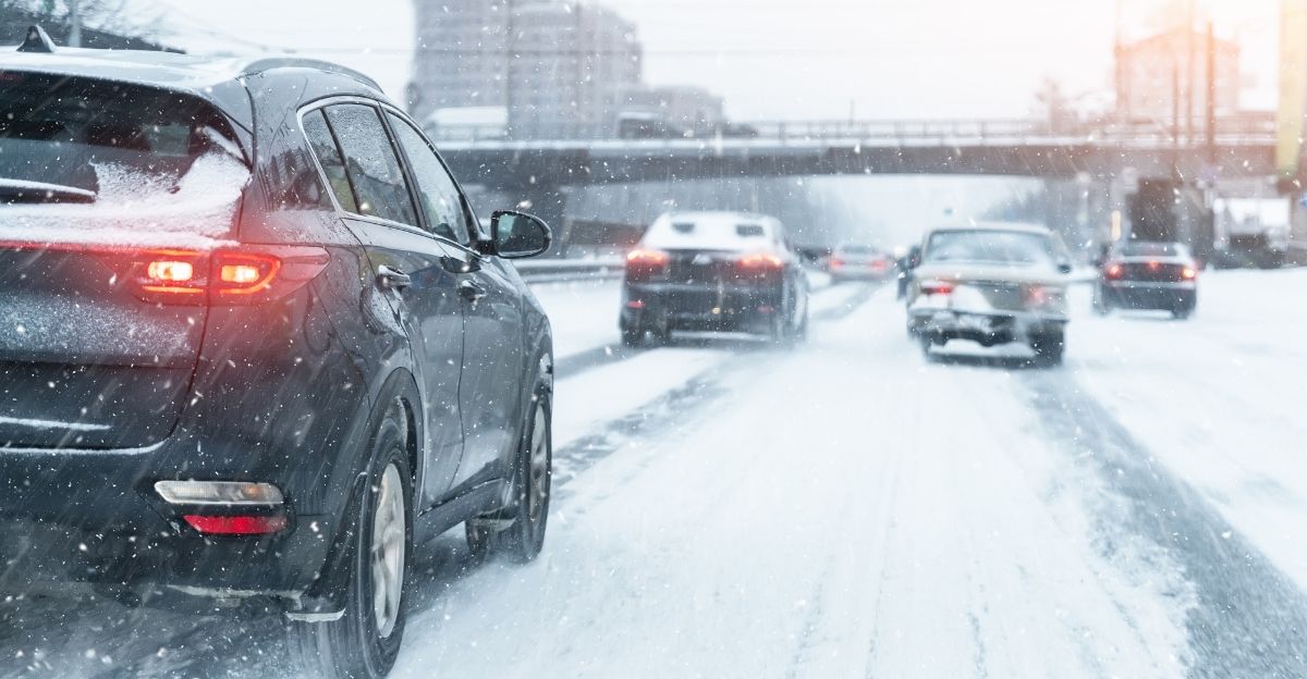
The National Weather Service says travel will be “difficult” due to snow and poor visibility. Morning and evening commutes in Buffalo will be severely disrupted. Governor Kathy Hochul declared travel “dangerous” starting Monday at 11 a.m.
Heavy snow, lake-effect accumulation, and 45 mph winds create whiteout conditions. Roads could become impassable for long periods. Emergency planners warn snowfall may exceed 3 inches per hour in heavy bands.
The Great Lakes become a Snow Machine

Lake-effect snow bands will spread from the Midwest through the Appalachian region. When Arctic air crosses the warmer waters of the Great Lakes, it creates a moisture engine. This engine produces the heaviest snow bands.
The National Weather Service predicts plowable snow across Michigan, Indiana, Ohio, and upstate New York. Lake Ontario areas are expected to face the highest totals—8 to 12 inches in narrow bands. Lake Superior’s south shore will get even more snow.
Wind Chills Turn Dangerous
Behind the Arctic front, wind chills reach dangerous levels. Meteorologist Dr. Ryan Maue reports wind chills across the Midwest will drop to minus 50 degrees. Such temperatures cause frostbite in minutes on exposed skin.
The National Weather Service warns of wind chills as low as minus 30 in North Dakota and Minnesota. Minneapolis is facing wind chills of nearly minus 40 degrees. Meteorologists refer to these as “life-threatening” conditions. This January rivals the severity of early 2014.
Southern Exposure: Cold Reaches the Deep South
The Arctic blast extends its unusual reach south for January. Freezing temperatures are expected to reach Florida and the Deep South. This marks a sharp shift from early January’s warmth. Atlanta will drop nearly 50 degrees from recent highs.
Residents from Tennessee to South Carolina brace for days with temperatures below freezing. The National Weather Service warns that Florida’s freeze is a major weather event. Frost may damage crops in the region.
The Climate Paradox: Warm Then Cold

An unusual pattern is emerging this winter. Record warmth now precedes record cold outbreaks. The National Weather Service Climate Prediction Center notes patterns swing between extremes faster than before. December was among the warmest on record.
January will bring the coldest stretch in years. This rapid swing between extremes strains agriculture, infrastructure, and utilities. Heating systems overtax after weeks of mild weather. Pipes may freeze and burst when temperatures drop 50 degrees in a matter of hours.
Infrastructure Strain Across Regions
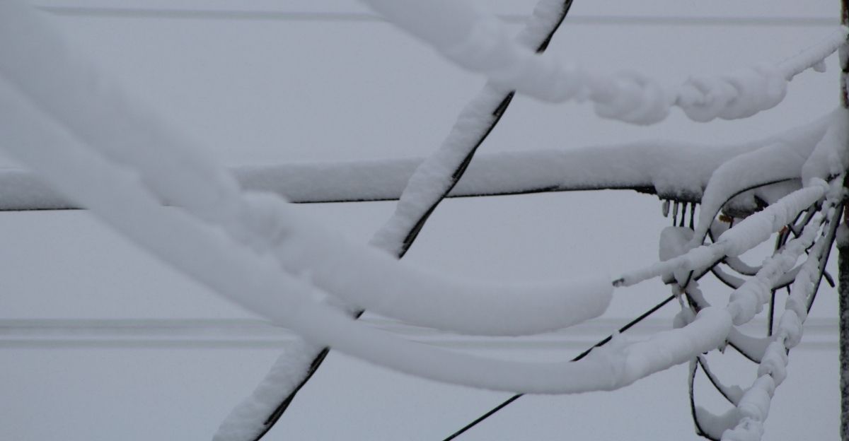
Power outages are increasing as utilities struggle with heavy snow and high winds. A late December storm left 350,000 customers without power in the Upper Midwest and Northeast. Michigan had roughly one-third of those outages.
Airlines canceled over 450 flights and reported 1,600 delays through major hubs. Heating demand hits levels not seen since early 2014. The National Weather Service warns that snow load, ice, and 45 to 75 mph gusts risk widespread outages.
The Stratospheric-Tropospheric Connection

Meteorologists explain how upper-atmosphere warming causes surface cold. When the stratospheric polar vortex weakens due to warming, it disrupts the circulation pattern. Pressure changes move from the stratosphere down to the troposphere over days or weeks.
This “downward coupling” pushes Arctic air south in lobes. The event is rare, happening six times per decade in the Northern Hemisphere. But it reliably triggers major winter outbreaks. Weather models indicate this coupling will persist through late January.
Cold Duration: Days or Weeks?

Uncertainty persists regarding the duration of Arctic conditions. Some forecasts indicate that the coldest air will continue to dominate through mid-January before warming. Others, including Dr. Ryan Maue’s analysis, suggest a stronger coupling lasting into late January.
The Climate Prediction Center’s January outlook shows competing signals. One fact is clear: multiple snow rounds and cold spells are coming. The National Weather Service urges sustained winter preparation, not just brief readiness for a cold snap.
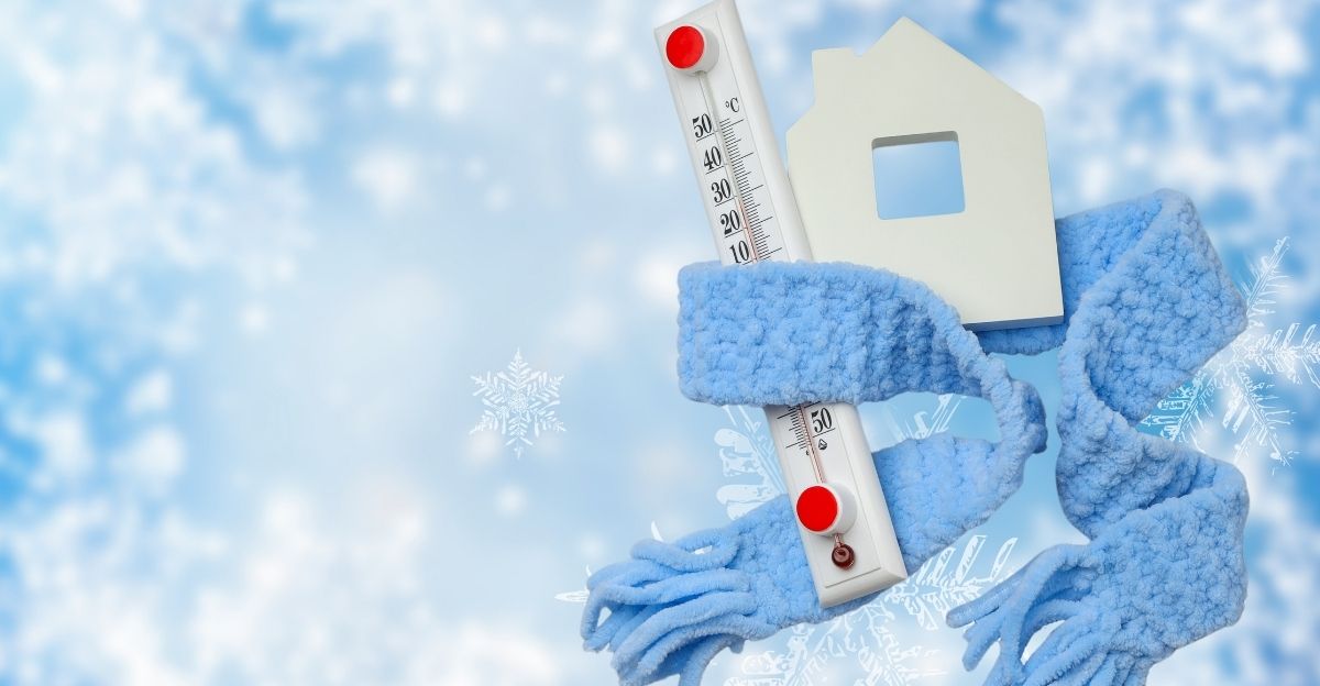
Preparation: What Experts Advise

Emergency managers and utilities plan contingency steps. The National Weather Service recommends stocking up on heating fuel, charging devices, and preparing backup heat sources. Avoid unnecessary travel during heavy snow and extreme cold.
Governor Hochul ordered state crews to pre-position salt, sand, and emergency teams. AccuWeather meteorologists advise winterizing vehicles, insulating pipes, and checking heating systems now to prepare for the upcoming winter. Past events in 2014 and 2015 show that advance preparation cuts cold injuries and infrastructure failures.
Why This Pattern Matters Beyond This Week
January’s sharp swings between warmth and cold reflect shifts in atmospheric circulation. Climate change warms global winter temperatures on average. Yet it also increases rapid temperature extremes in mid-latitude regions.
Scientists like Dr. Mark Ellison note that climate change doesn’t eliminate cold. Instead, it amplifies sudden swings between extremes. December’s record warmth, followed by January’s Arctic cold, shows a changing climate baseline. Infrastructure and emergency planners must adapt to larger temperature swings over shorter times.
Sources:
- National Weather Service, Multiple weather advisories and forecasts, January 2026
- AccuWeather, Winter weather analysis and forecasts, January 12, 2026
- Severe Weather Europe, Polar vortex analysis and winter weather forecast, January 11, 2026
- National Weather Service Climate Prediction Center, December-January pattern analysis, January 2026
- H24 Weather News, Polar vortex disruption analysis, January 2, 2026
- Dr. Ryan Maue Weather Substack, Arctic outbreak forecast analysis, January 11, 2026