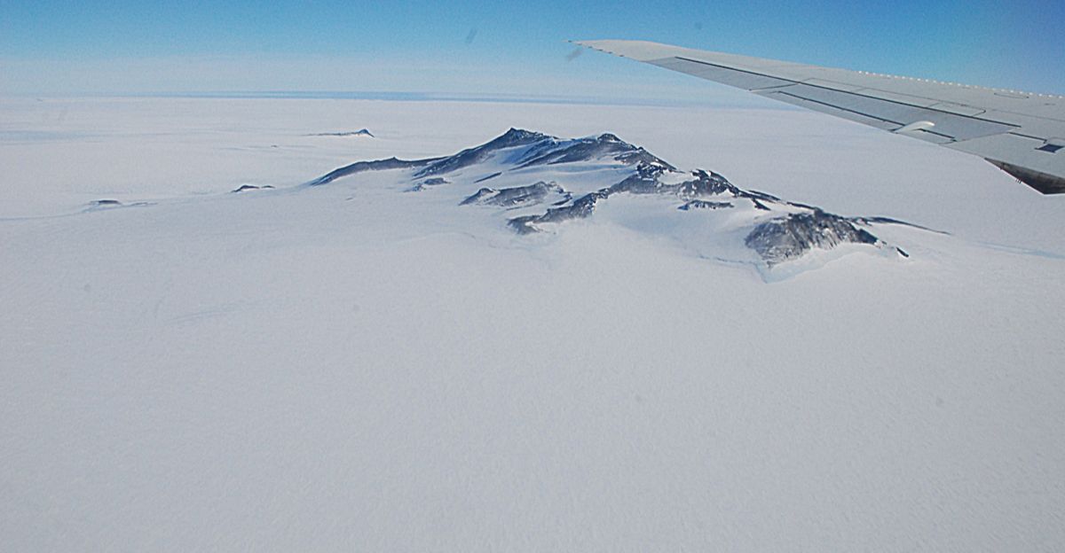
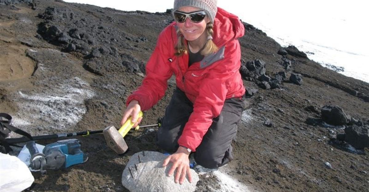
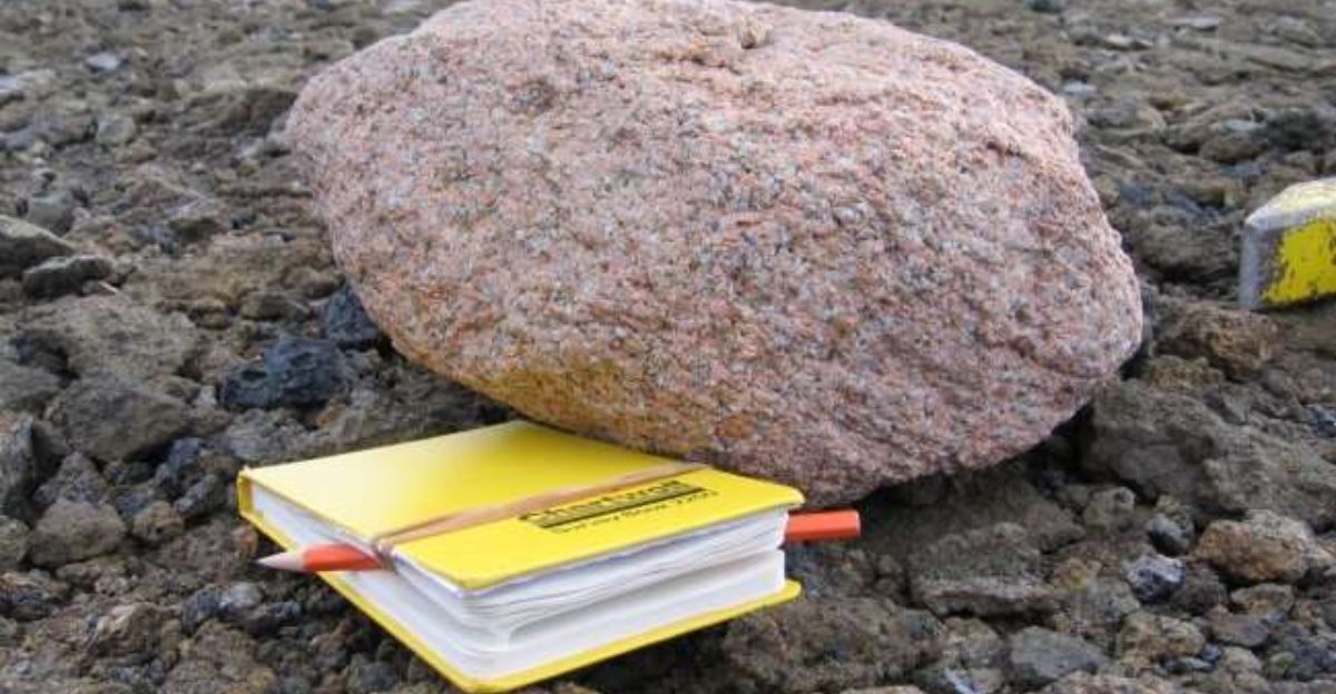
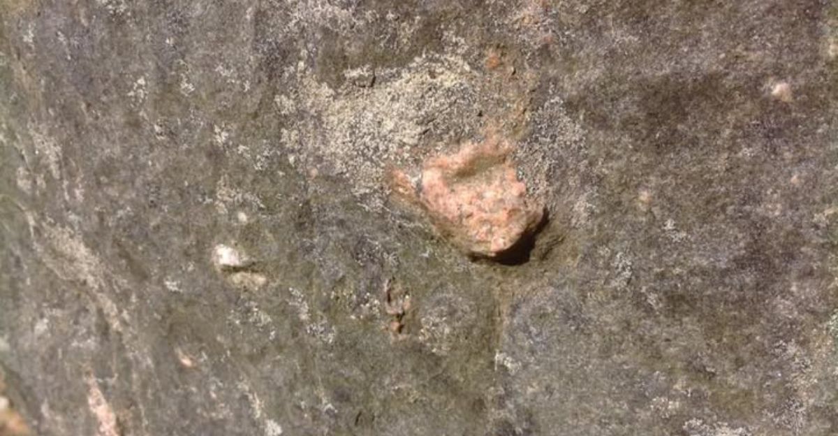
Pink granite boulders scattered across dark volcanic peaks in West Antarctica shouldn’t exist. For decades, geologists stood baffled: How did rose-colored rocks end up high in the Hudson Mountains, miles from any visible granite source?
The answer lay hidden nearly four miles beneath the ice—a colossal granite body rivaling Wales. When British Antarctic Survey researchers solved this riddle, they uncovered far more than curiosity.
Gravity Reveals the Hidden Giant
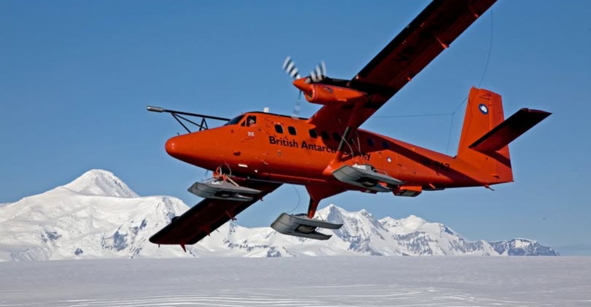
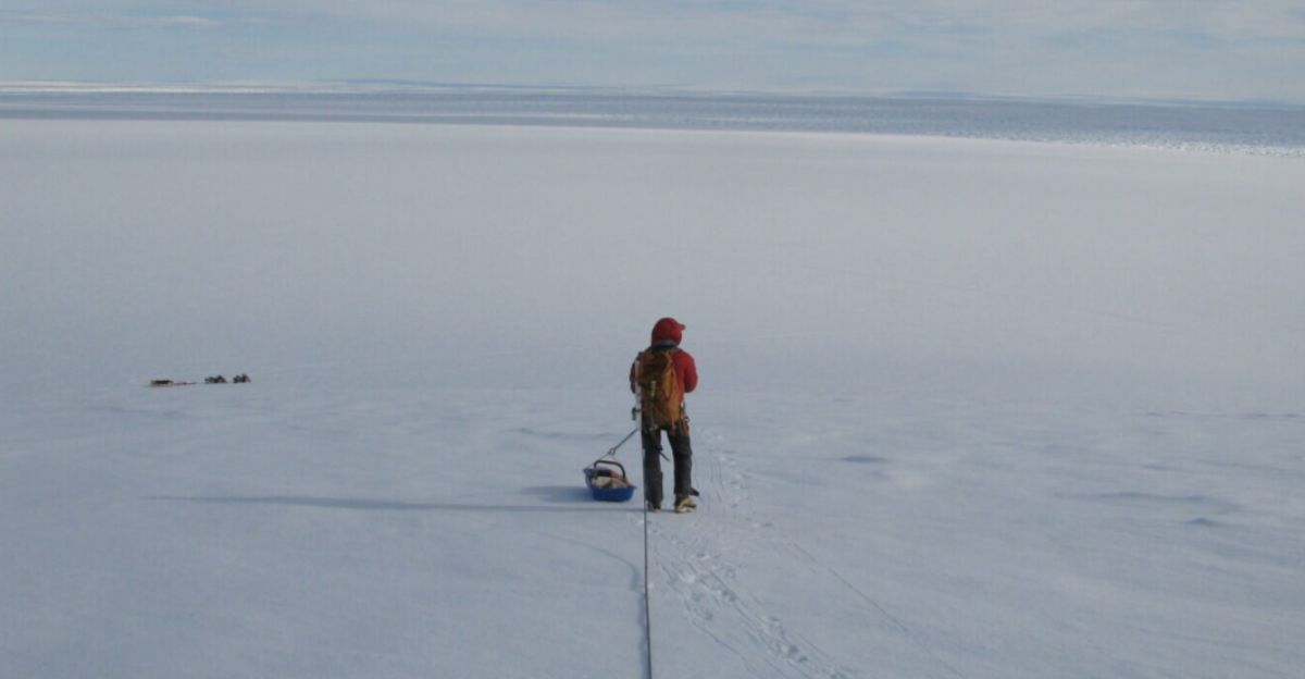
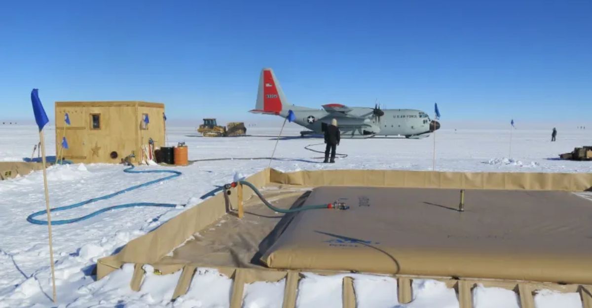
How do scientists map structures buried beneath four miles of ice? Geophysicist Dr. Tom Jordan’s team used airborne gravity measurements. Flying Twin Otter aircraft equipped with sensitive instruments across Pine Island Glacier, researchers detected gravitational anomalies revealing a massive buried granite body.
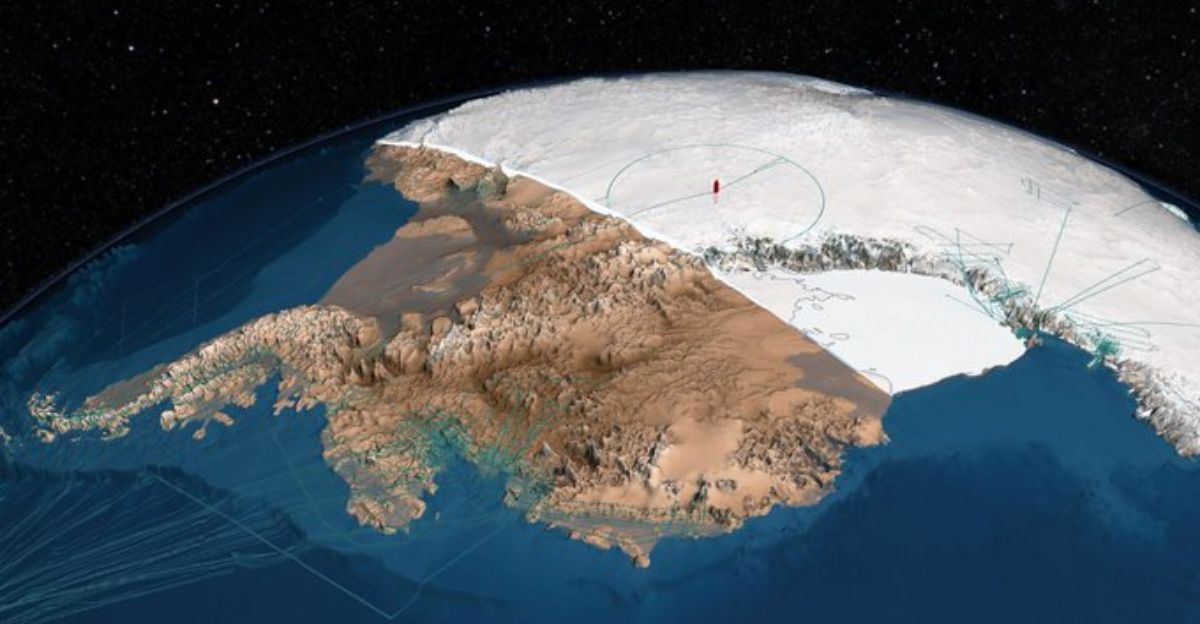
The readings showed an enormous structure stretching nearly 100 kilometers—62 miles—across and plunging 7 kilometers into bedrock. This hidden granite giant is roughly half the size of Wales.
Ancient Jurassic Secrets
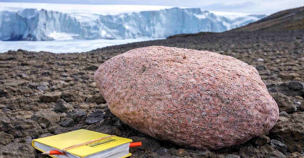
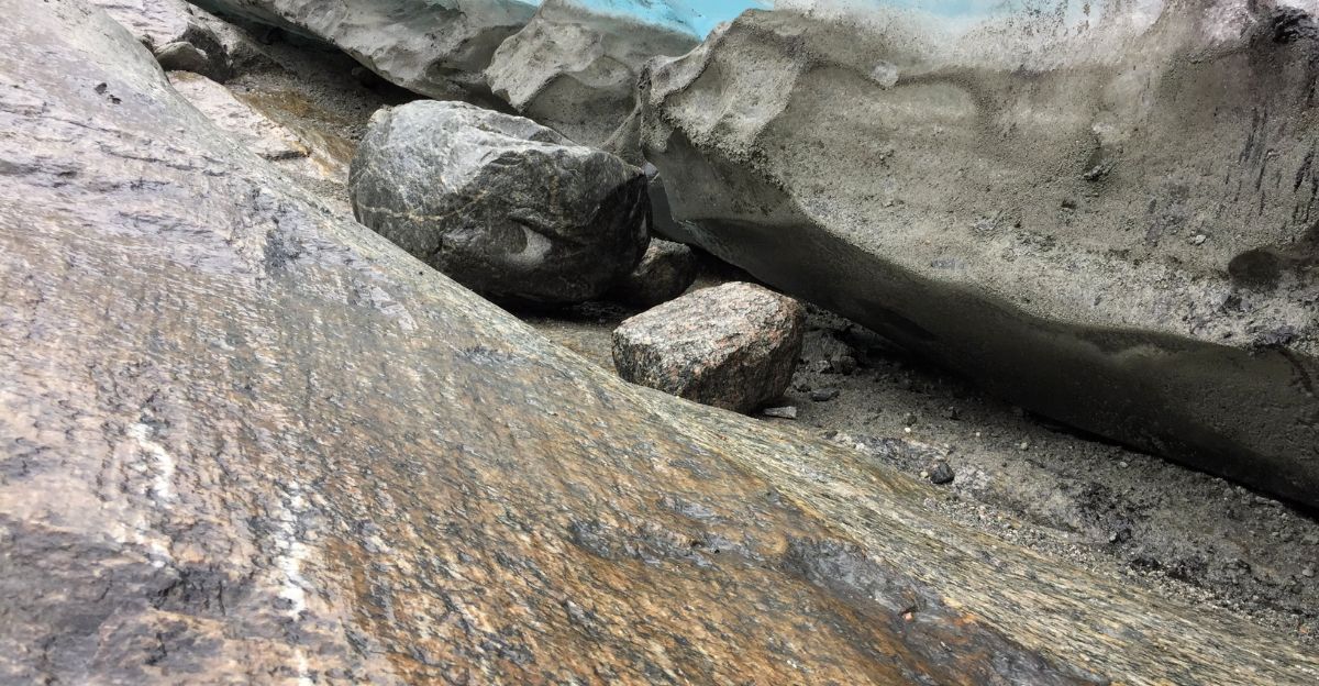
These granite boulders tell a story written 175 million years ago, during the age of dinosaurs. Radioactive elements locked within the pink granite allowed scientists to precisely date the rocks to the Jurassic period. That makes this buried giant older than most surrounding rock formations.
The boulders collected from the surface matched the gravitational signatures of the buried granite body with striking precision, creating an unbreakable link between visible rocks and the hidden structure beneath the ice.
The Ancient Ice Journey
Picture West Antarctica 20,000 years ago. The ice sheet was so thick it flowed across bedrock like a slow-moving river of frozen stone. As this ancient ice advanced, it tore fragments from the granite body below and carried them upward thousands of meters.
Then, as Earth warmed and ice retreated, those boulders were abandoned high in the Hudson Mountains.
Solving the Geological Mystery
The discovery exemplifies how surface clues unlock vast geological secrets hidden beneath ice. Dr. Tom Jordan, the study’s lead author, stated: “It’s remarkable that pink granite boulders spotted on the surface have led us to a hidden giant beneath the ice.”
By combining geological dating with gravity surveys, researchers solved a decades-old mystery about rock origins while uncovering new information about how ice flowed in the past and might behave in the future.
Reading the Ice’s Historical Record
The distribution of pink granite boulders across the Hudson Mountains reveals the exact pathways the ancient ice sheet took as it moved across bedrock. Scientists reconstructed ice-flow patterns from 20,000 years ago using these natural clues.
These flow patterns provide crucial constraints for computer models simulating Antarctic ice response to future warming. What happened in the distant past is the key to understanding what comes next.
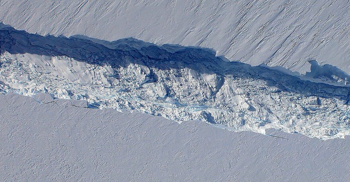
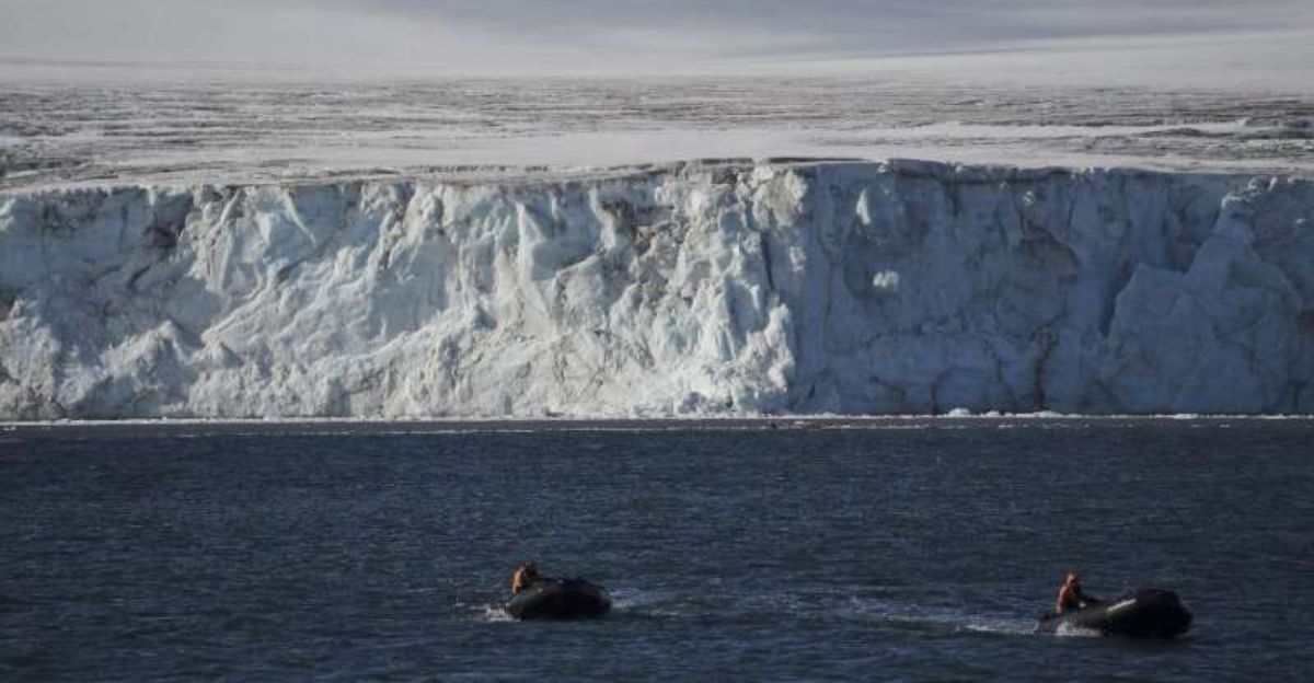
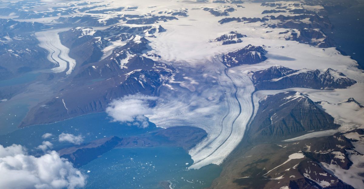
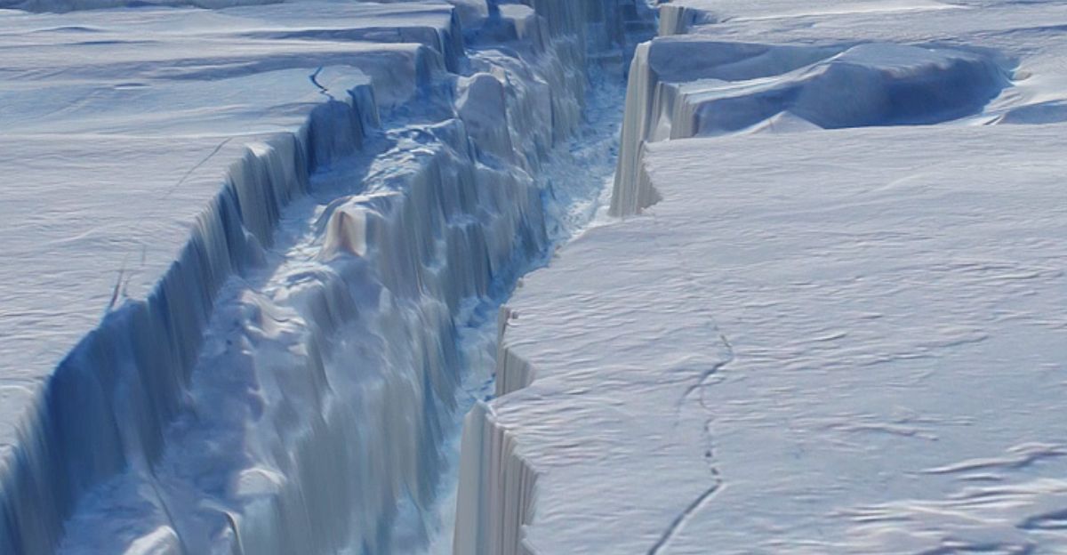
Pine Island’s Vulnerable Reality
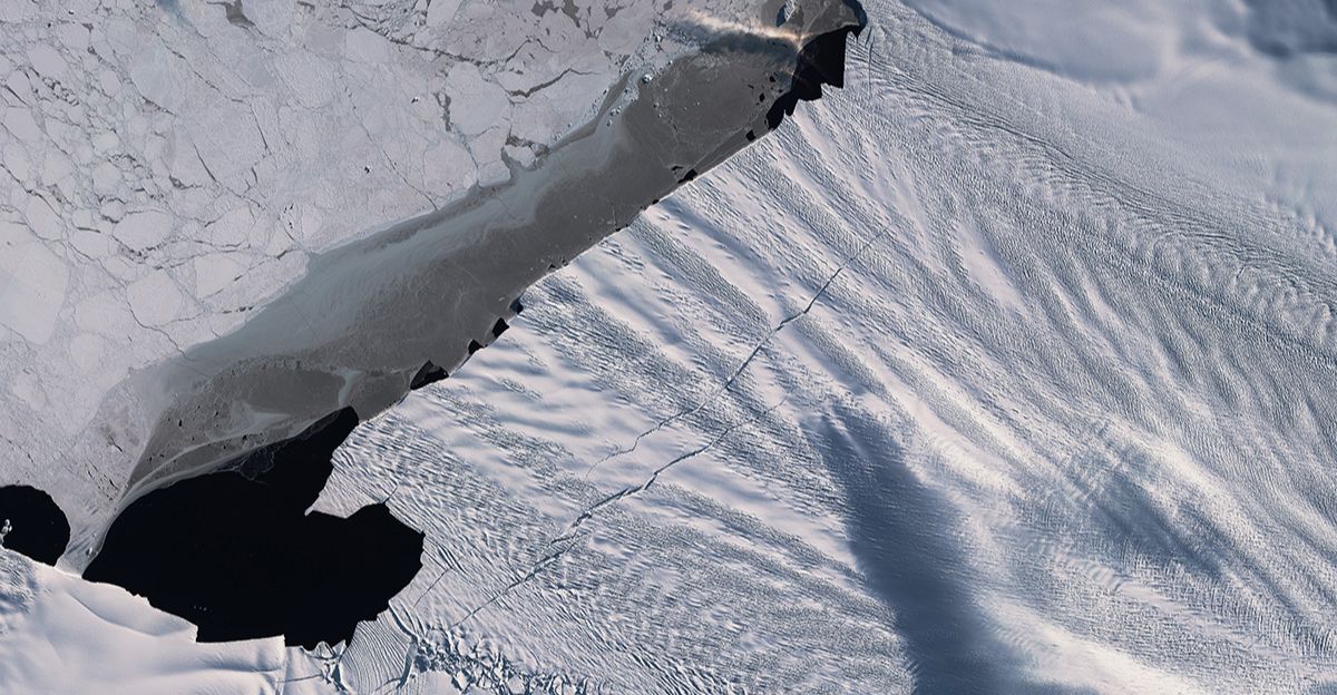
Pine Island Glacier is not average—it’s one of Antarctica’s fastest-melting glaciers. The newly discovered granite body lies directly beneath it. Between 2003 and 2019, Pine Island Glacier contributed 7.5 millimeters to global sea level rise alone—a staggering share of total Antarctic contribution during that period.
The granite influences everything about this glacier: water drainage, friction patterns, and acceleration rates.
How Bedrock Shapes Ice Movement
Subglacial geology actively shapes how ice moves—this isn’t mere academic detail. Granite, with its unique density and thermal properties, influences meltwater channels and friction patterns beneath the glacier.
The newly discovered granite body provides geophysicists with essential information about bedrock topography and properties. This knowledge directly improves climate models’ projections of future sea level rise.
Refining Global Climate Models
The discovery will improve computer models of ice flow used to project future sea level rise with unprecedented accuracy. Dr. Joanne Johnson, a geologist at the British Antarctic Survey and co-author, emphasized: “Rocks provide an amazing record of how our planet has changed, especially how ice has eroded Antarctica’s landscape.
Boulders like these are treasures of information about what lies deep beneath the ice sheet, far out of reach.”
West Antarctica in Crisis
West Antarctica, where Pine Island Glacier resides, has experienced the most rapid ice loss on the Antarctic continent in recent decades. Scientists have identified this region as a potential “weak link” in the Antarctic ice sheet—vulnerable to sudden collapse.
Understanding the bedrock geometry beneath Pine Island is essential, not optional. It determines whether this glacier will collapse, how rapidly it might disintegrate, and what that means for coastal populations worldwide.
150 Million Americans at Risk
If Pine Island Glacier collapsed entirely, it could contribute approximately 1.2 meters of global sea level rise over the course of centuries. That’s not distant abstraction. Approximately 150 million Americans live in coastal counties vulnerable to sea level rise.
Communities from Miami to New Orleans, New York City to Los Angeles, face growing exposure to inundation tied to Antarctic ice loss. Neighborhoods that seem safe today face uncertain futures.
The Twin Otter’s Invisible Mapping
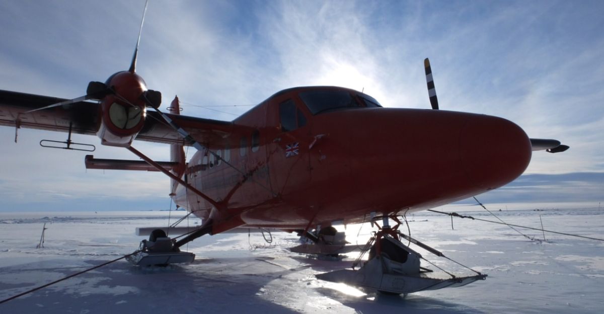
How do scientists map structures beneath four miles of ice? Sensitive instruments detect gravity. Researchers used high-resolution gravity measurements from aircraft flying over the region. Twin Otter planes equipped with sensitive instruments detected gravitational anomalies caused by the dense granite body buried beneath less-dense ice.
This non-invasive geophysical technique allowed mapping subglacial geology without drilling or disturbing ice. Combined with surface boulder sampling and radioactive dating, it created a three-dimensional picture with extraordinary clarity and precision.
International Science Collaboration
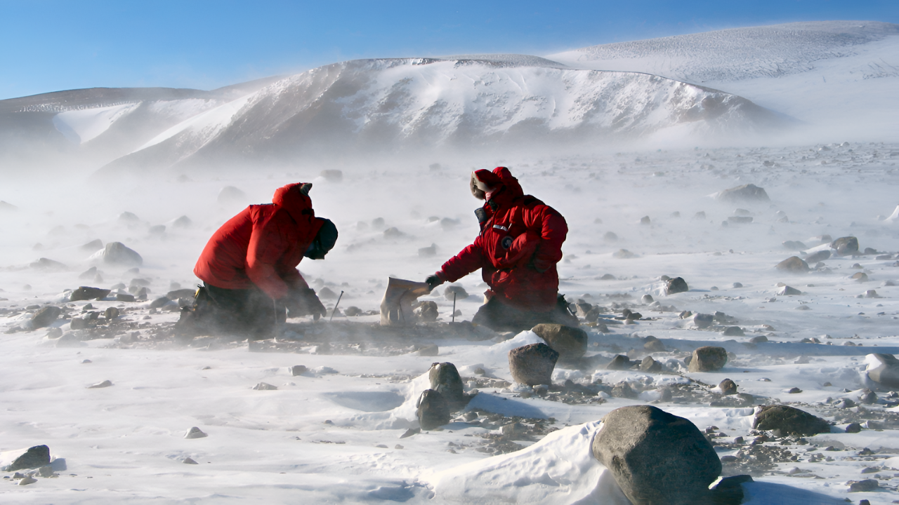
The discovery emerged from the International Thwaites Glacier Collaboration, a multinational effort funded by the Natural Environment Research Council (NERC) Award NE/S006710/1. Dr. Joanne Johnson collected critical rock samples during fieldwork as part of this international endeavor.
The integration of expertise—geologists, geophysicists, modelers from multiple institutions and nations—accelerated discovery and interpretation.
A First in Subglacial Science

This marks the first time scientists successfully traced surface glacial erratics to a hidden subglacial granite body of this scale. Erratics—rocks carried and deposited by glaciers—have long been underutilized as subglacial geology evidence. This discovery demonstrates their profound value as messengers from hidden realms beneath ice.
The approach proves the utility of combining erratic geochemistry, geochronology, and aerogeophysics. Scientists now possess a proven methodology for studying subglacial environments worldwide and for replicating findings across glaciated regions.
A Blueprint for Global Ice Research
While focused on Antarctica, this methodology has implications for Greenland, mountain glaciers, and ice sheets everywhere. Scientists studying how glaciers melt and retreat can apply similar approaches—examining glacial deposits, using geophysical surveys, and mapping hidden bedrock.
Understanding subglacial geology matters wherever ice melts, and sea levels rise. This Antarctic discovery provides a proof-of-concept model for mapping hidden geological structures on global scales.
Mysteries Remain Beneath the Ice
The discovery answers the decades-old question of boulder origins. But it raises profound mysteries: What else lies hidden beneath Antarctica’s ice? How much bedrock remains unmapped? The Antarctic ice sheet covers 14 million square kilometers—roughly Russia’s size.
Scientists have mapped only a fraction. As ice melts and retreats, new discoveries will follow.
Boulders as Climate Witnesses
Pink granite boulders deposited high in the Hudson Mountains testify to a radically different Antarctic landscape 20,000 years ago. The ice sheet was so thick, so powerful, it tore rocks from deep bedrock and transported them thousands of meters upward.
These boulders provide natural benchmarks for past ice-sheet thickness. By comparing ancient ice thickness to current conditions, scientists gain confidence in future projections.
The Timing of Critical Knowledge

The study was published in October 2025 in Communications Earth & Environment, a peer-reviewed journal from Nature. The timing is significant: Antarctic ice loss is accelerating due to climate change, making understanding what lies beneath increasingly urgent.
Policies are being written now. Coastal cities plan adaptations now. Families make decisions about where to live now. The discovery contributes to scientific consensus on the timing and magnitude of future changes—information essential for decisions world leaders are making this decade.
The Granite’s Ongoing Influence
The granite body discovered beneath the Pine Island Glacier will continue to influence ice flow for decades and centuries. As the glacier accelerates, thins, and potentially retreats, the bedrock beneath shapes its behavior.
Scientists understand one critical puzzle piece governing Antarctic ice dynamics. The discovery represents progress and humility. Vast planetary regions remain poorly understood, hidden beneath ice and ocean.
The Warning in the Rocks
The pink boulders that puzzled geologists for decades finally revealed their secret and with it, a warning. A hidden granite giant lies beneath Earth’s fastest-melting glacier, controlling how ice will flow and collapse in the coming decades. Scientists now understand how ancient ice transported these rocks, reshaping predictions for future sea level rise affecting 150 million Americans.
The discovery symbolizes both human ingenuity in mapping hidden worlds and the urgent need for climate action before Earth’s frozen frontiers disappear forever.
Sources:
Communications Earth & Environment. (2025, October 21). “Subglacial geology and palaeo flow of Pine Island Glacier from combining glacial erratics with geophysics.” Nature Communications.
British Antarctic Survey. (2025, October 21). “Hidden giant granite discovered beneath West Antarctic Ice Sheet.” BAS Media Release.
Natural Environment Research Council. (2025). “NERC National Capability PRESCIENT program.” NERC Funding Award NE/S006710/1.
International Thwaites Glacier Collaboration. (2025). “Geological fieldwork and rock sample analysis from Hudson Mountains, West Antarctica.”
Nature. (2025, October 21). “Subglacial bedrock discovery reshapes Antarctic ice dynamics models.” Nature Geoscience.