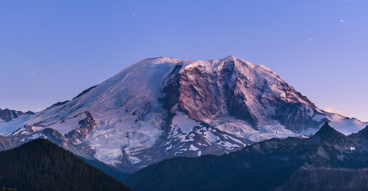
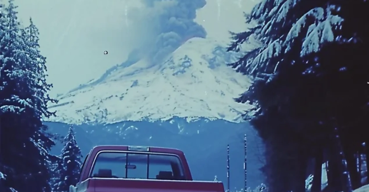
One of America’s most dangerous volcanoes shook nonstop starting Saturday morning.
Seismometers across Washington State’s Mount Rainier recorded a 72-hour burst of underground vibrations beginning on November 15, 2025, at approximately 5:00 AM Eastern Time.
Powerful seismic signals displayed thick black bands on the monitoring equipment, with 80–90% of Monday’s readings showing overlapping vibrations.
This tremor differs from regular earthquakes and suggests activity deep beneath the volcano.
Population Exposure
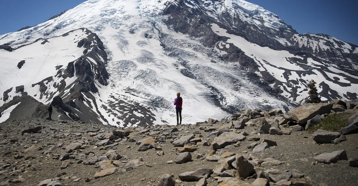
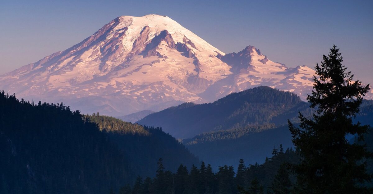
Mount Rainier looms less than 70 miles southeast of Seattle, casting its volcanic shadow over 4.145 million residents in the Seattle-Tacoma-Bellevue area (as of 2024).
Tacoma, Puyallup, and Olympia all sit in valleys below the volcano. The U.S. Geological Survey ranks Rainier among America’s most threatening volcanoes.
About 300,000 residents live directly in mapped hazard pathways; millions more are exposed regionally.
Historic Precedent
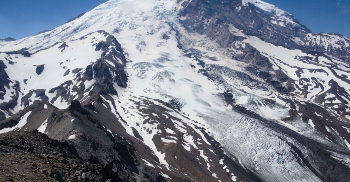
Mount Rainier’s history shows its scary power. Approximately 5,600 years ago, the volcano erupted, producing a massive mudflow known as the Osceola Mudflow.
This avalanche removed 2,000 feet of Rainier’s summit and sent rocks and mud racing at 43 mph for 75+ miles, covering modern towns under deep deposits.
The volcano hasn’t erupted for over 500 years but remains seismically active.
Summer Earthquake Swarm
Just months before the November tremor, Rainier’s biggest recorded earthquake swarm hit.
Starting July 8, 2025, scientists detected over 1,000 small quakes in three weeks, up to 41 per hour.
By July 23, nearly 900 had been located, although the final total may reach 1,350.
Most of them occurred deep under the summit and were not felt. Rainier typically only has nine quakes per month.
72-Hour Tremor Window
On November 15, 2025, Rainier shifted from scattered quakes to continuous tremor.
Seismometers showed thick black bands for over 72 hours, confirming one of Rainier’s longest tremor episodes in recent years.
The volcano’s west flank produced nonstop strong signals.
Scientists reported an 80–90% occurrence on Monday with overlapping vibrations, an unprecedented period of sustained activity.
Regional Impact Zone
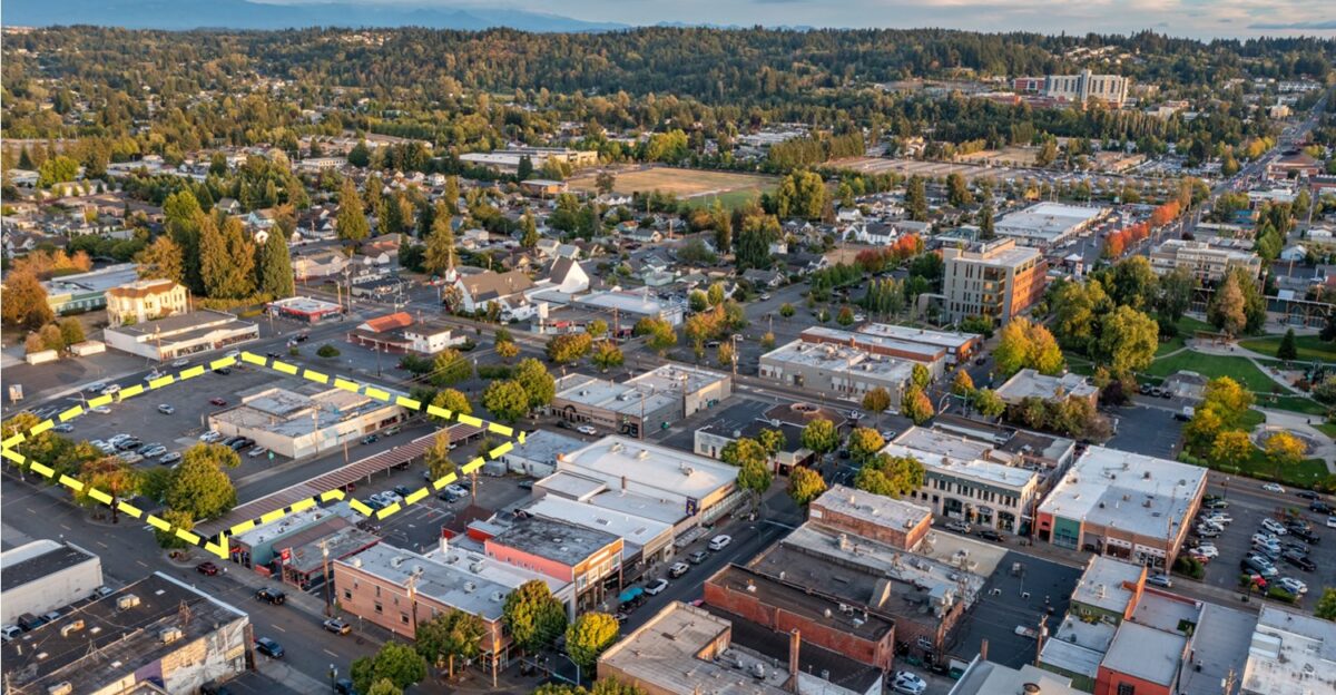
More than 80,000 people live in Rainier’s mapped lahar-hazard valleys.
Orting and Puyallup are especially vulnerable, with mudflows reaching Orting in 30–45 minutes and Puyallup in 1–3 hours after an eruption.
Major infrastructure, such as the Port of Tacoma, is located in the floodplain.
Local schools rehearse evacuation drills each year because Rainier is considered a “Decade Volcano” at the highest risk.
Lahar Warning Systems
Pierce County has warning systems to give people time to escape. Monitors detect mudflow vibrations, while alert sirens warn communities.
The USGS says Rainier has a one-in-seven chance of a major lahar in the next 75 years.
Each year, over 20 schools in risk zones practice walking to higher ground. People in Orting need to cross just two bridges to be safe.
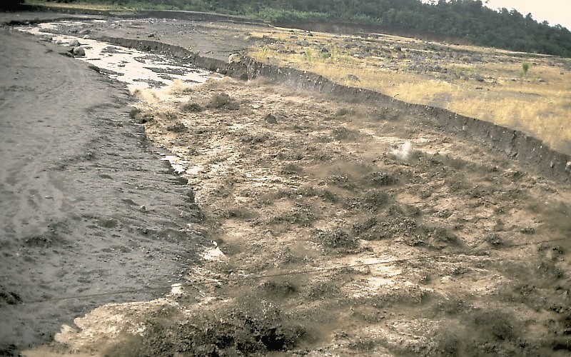
The Lahar Threat Mechanism
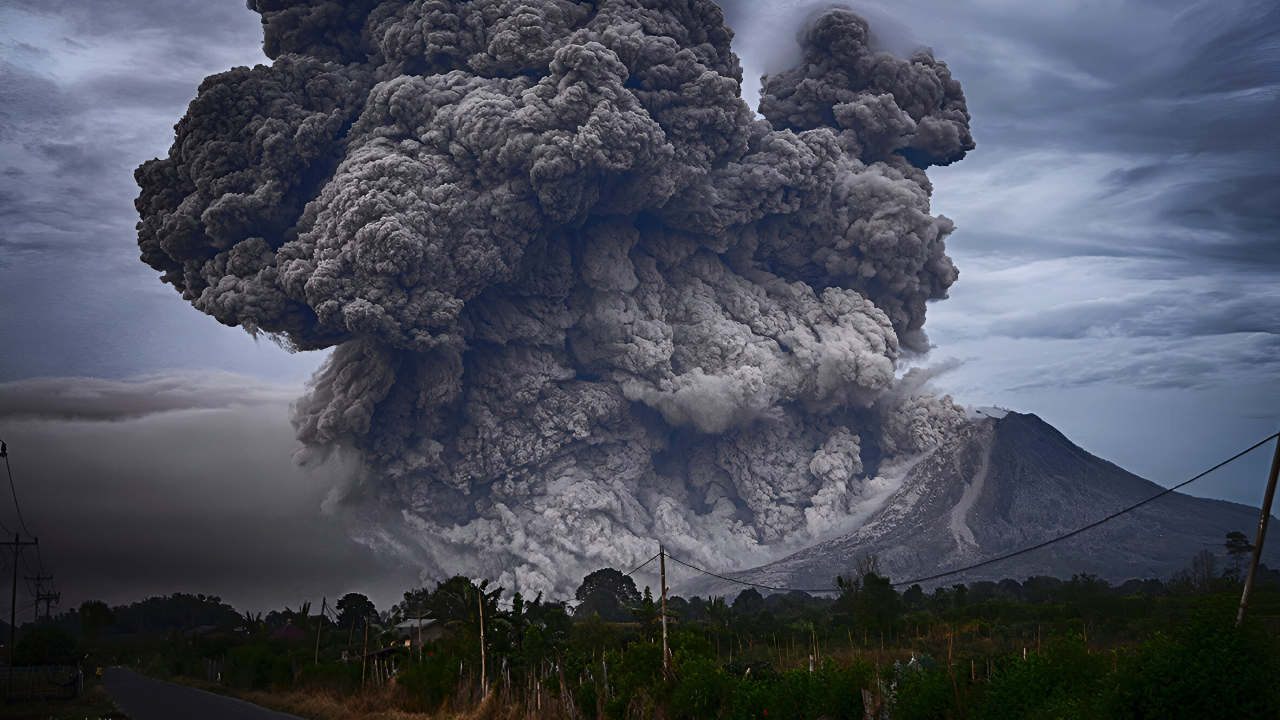
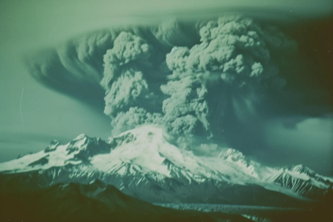
Rainier’s biggest threat is mudflows, not lava. During eruptions, hot rock melts glacier ice, mixing with it to create powerful lahars that rush at speeds exceeding 60 mph.
USGS says, “Large lahars can crush, bury, or carry away almost anything.” In 1980, Mount St. Helens’ lahars destroyed homes, roads, and killed 57 people.
Rainier holds even more ice than St. Helens did.
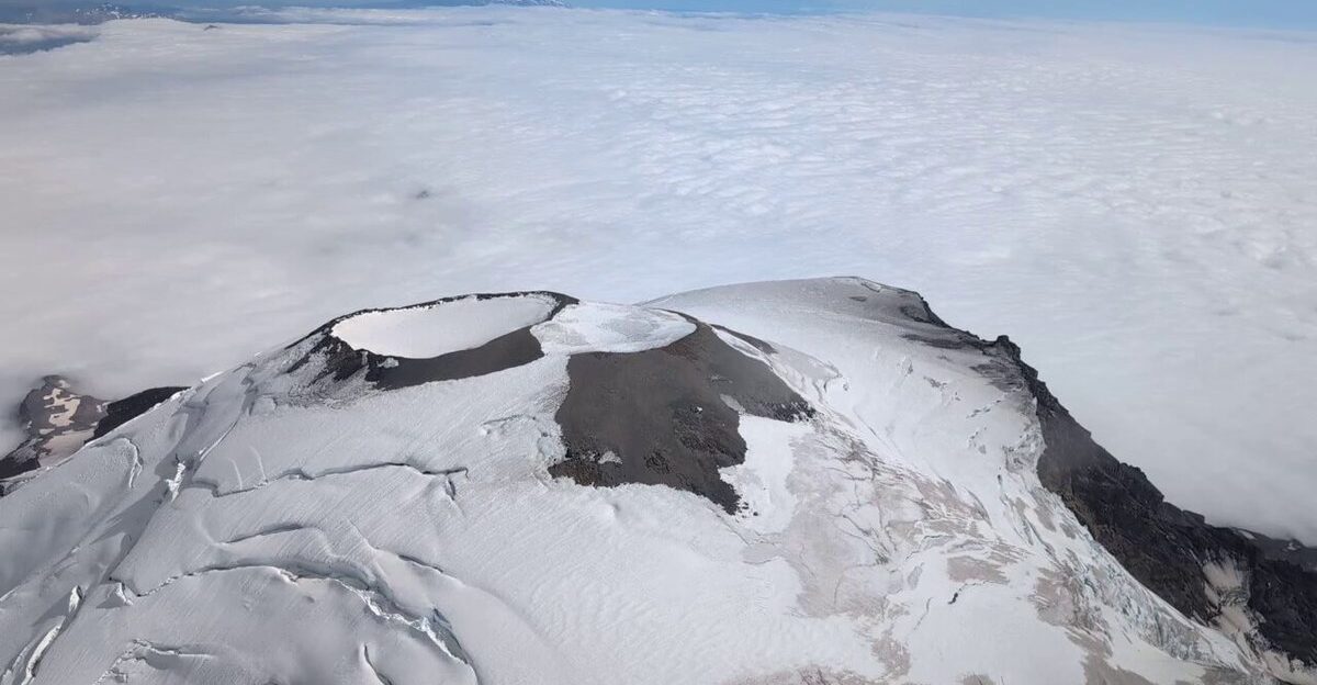
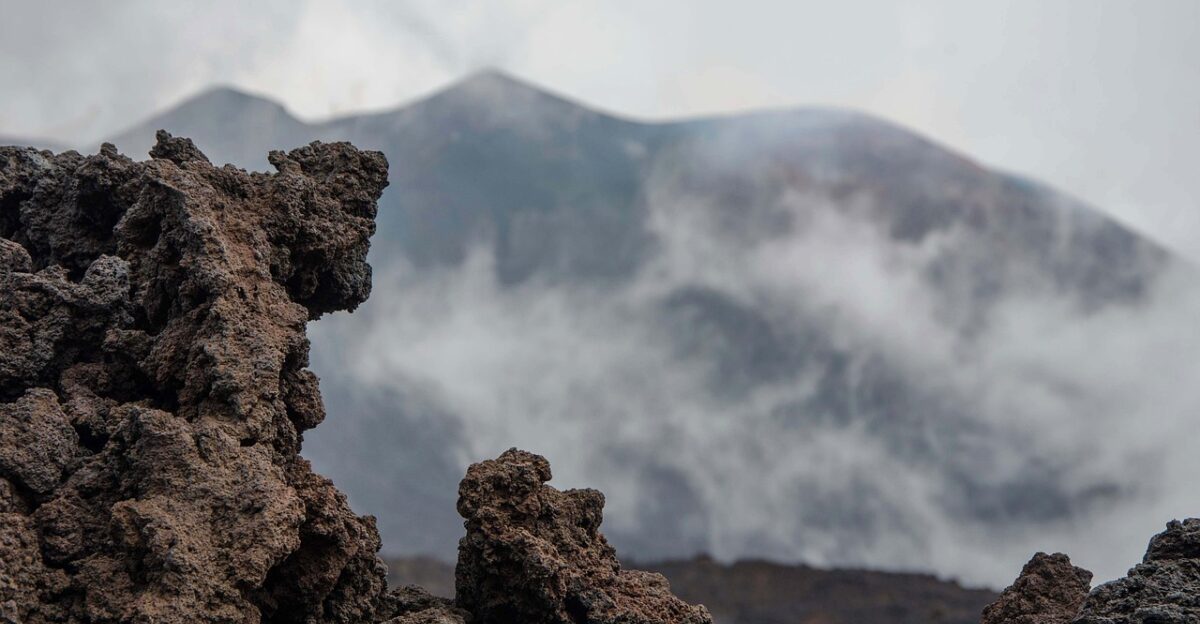
Hydrothermal System Activity
Scientists believe Rainier’s tremor comes from its hot water system below the summit. After July’s earthquake swarm, experts measured steam and gases at the crater.
Findings indicate that earthquakes are likely linked to the movement of hydrothermal fluids underground, which in turn breaks rock.
Steve Malone (PNSN) says: “Small changes in the hydrothermal system can break rock and create shaking.”
Alert Level Paradox
Despite dramatic tremor and earthquake swarms, Rainier’s official warning level stays GREEN/NORMAL—the lowest threat.
Why? Every major eruption signal—magma movement, swelling ground, new gases—is missing. “It’s totally background activity, so we’re not worried,” says USGS’s Alex Iezzi.
The tremor is just Rainier’s hot-water system adjusting, not a sign of imminent eruption.
Monitoring Network Expansion
Rainier’s monitoring system has grown since the 1970s. By 1990, networks let experts locate earthquakes accurately.
Today, 20 seismic stations watch the mountain, sending data to the main observatory.
Tools include seismic sensors, sound sensors for blasts, GPS for ground lifts, and gas sensors. “A big eruption would give months of warning,” says Iezzi.
Historical Eruption Prediction
Rainier’s history shows unpredictable but dangerous episodes. Ten major debris flows have occurred over the past 6,000 years. Its last eruption happened between 1820 and 1854.
USGS correctly predicted Mount St. Helens would erupt before 2000. Rainier, covered in glaciers and with noisy ground, remains tough to predict.
Scientists say it can go silent for centuries, then suddenly awaken.
Escalation Indicators
Experts know what changes come before eruptions.
Three signals matter most: tremors get stronger, deep earthquakes hint at magma rising, or swelling ground is measured by GPS.
Economic Times says these are the tipping points between routine rumbling and real eruption danger. None have appeared in Rainier’s recent swarms or tremor bursts.
Expert Reassurance

The USGS states that tremors and earthquake swarms are normal for Rainier.
July’s and November’s events have been busy, but not alarming. Swarms happen one to two times a year, usually much smaller.
According to Daily Fly, “the USGS emphasizes that the activity remains within normal background levels.”
Rainier’s hot-water system often causes this shaking without risk.
Looking Forward
November’s 72-hour tremor adds to Rainier’s story. Experts call Rainier one of America’s most dangerous volcanoes—not for what happens now, but for its future risk.
With 4.1 million people nearby and thousands living in lahar zones, the stakes are high.
The volcano remains quiet for now, but scientists continue to monitor it for any signs that it might erupt.