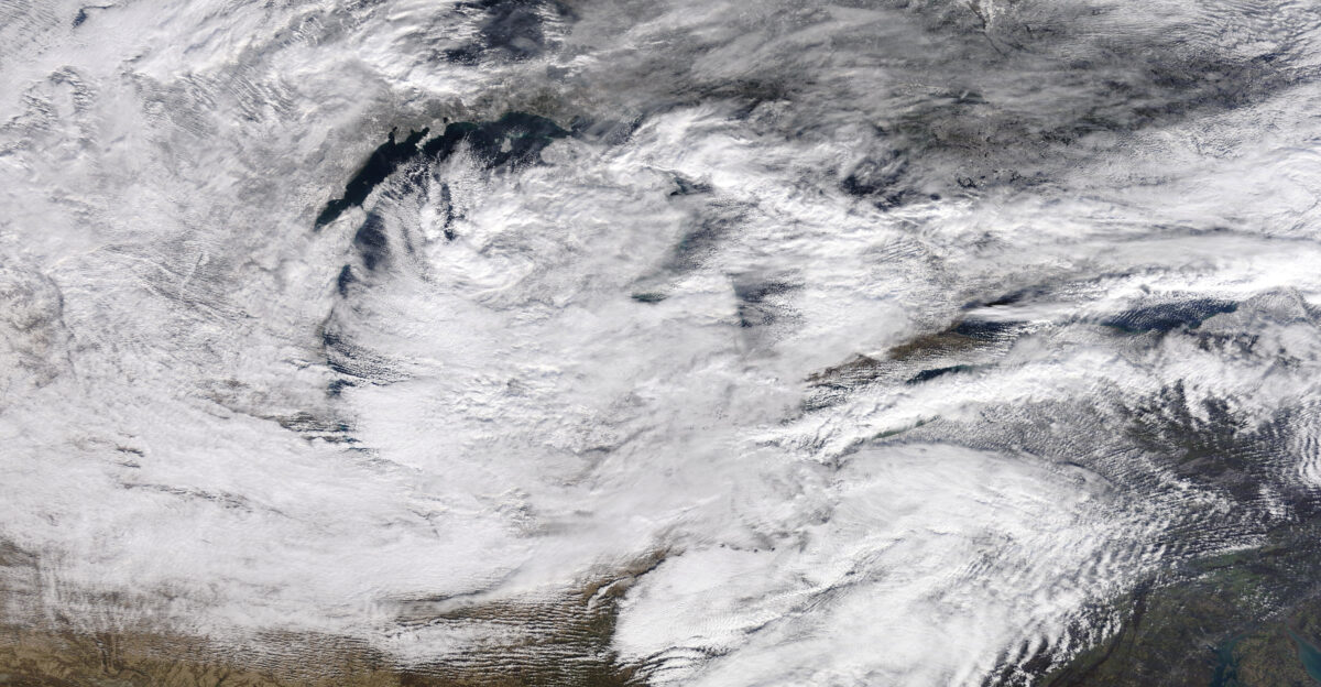
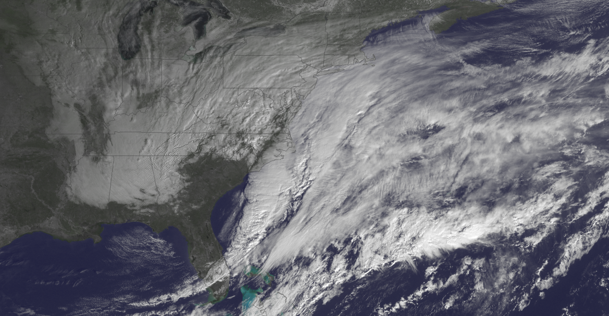
A massive clipper system stretched from Alaska to the Appalachians on January 13, 2026, with forecasts calling for whiteout conditions across multiple regions. Winds were forecast to gust to 65 mph in Alaska as visibility was expected to drop to half a mile or less.
At least 25 states were in the storm’s path. This was not a distant forecast—it was the storm actively unfolding.
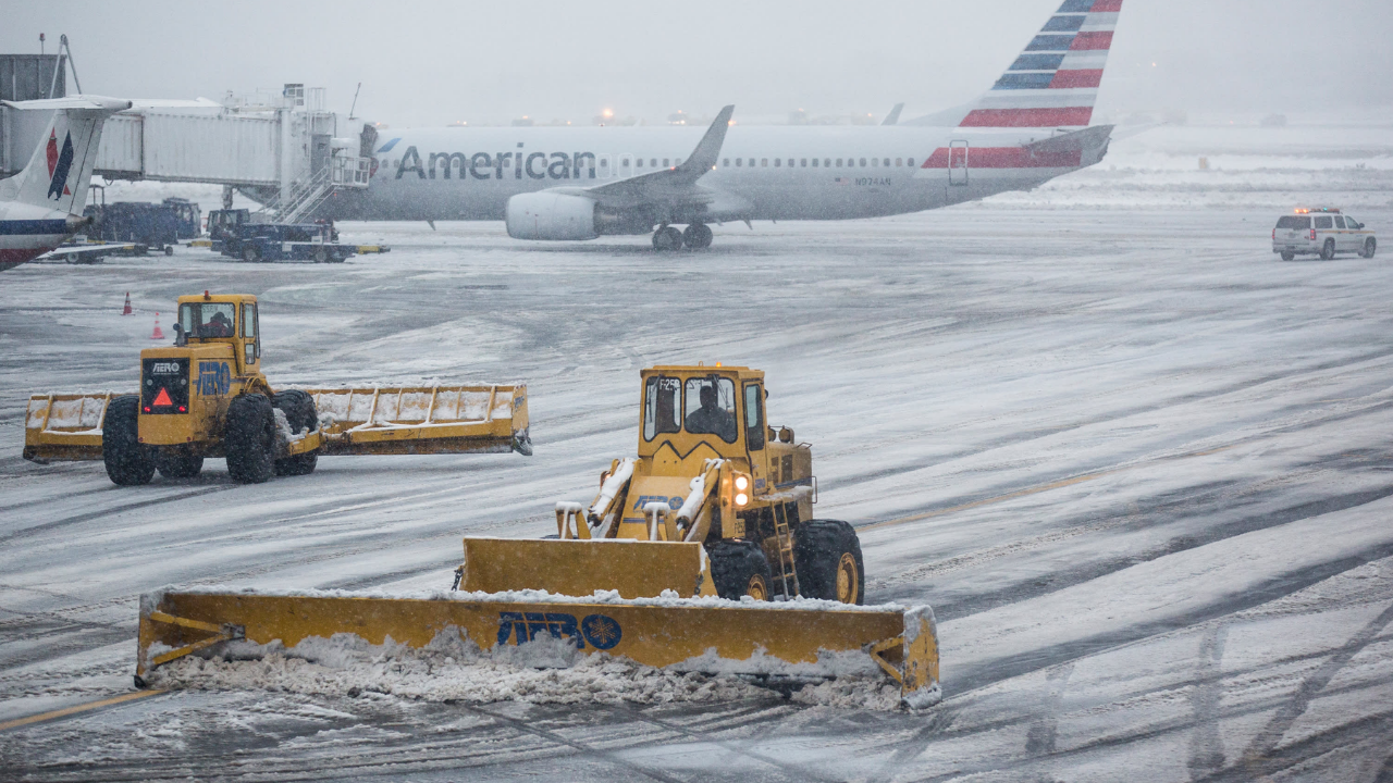
Travel Chaos

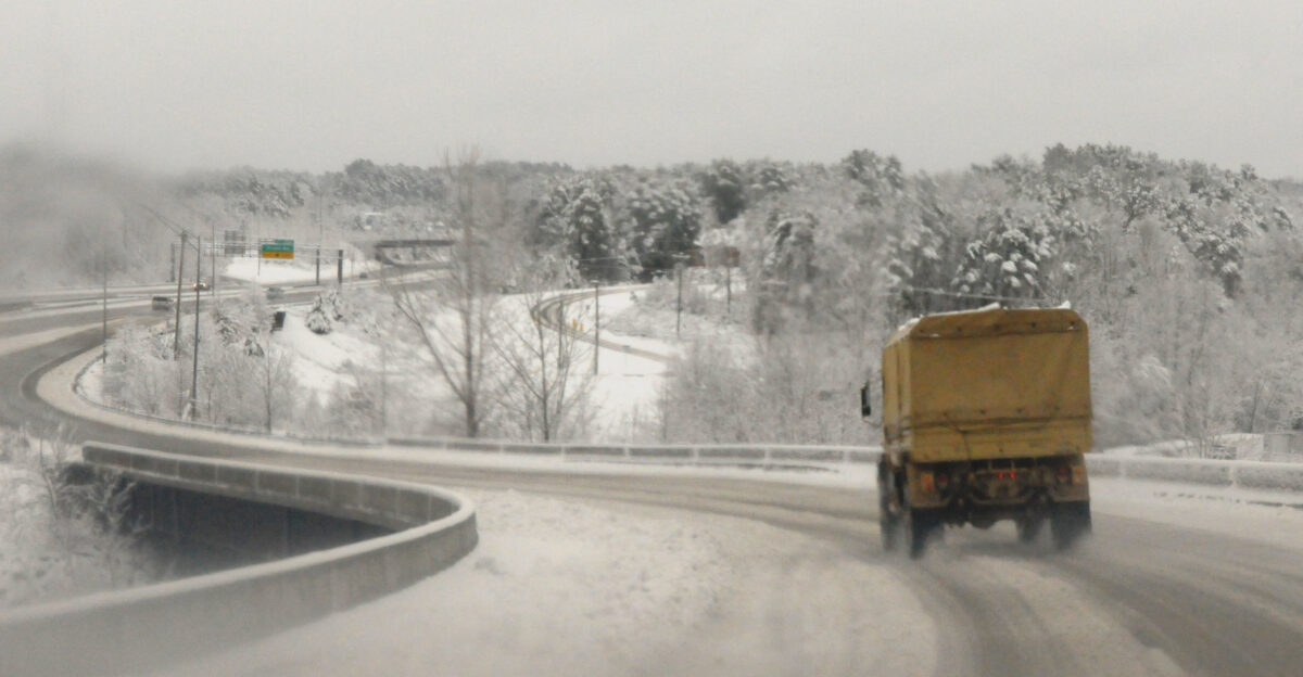
As conditions deteriorated, the National Weather Service issued winter weather warnings for Alaska, Michigan, Minnesota, and Wisconsin. Snowfall forecasts climbed rapidly, with up to 20 inches expected along Alaska’s Klondike Highway and 8–12 inches in Lake Michigan snowbelts.
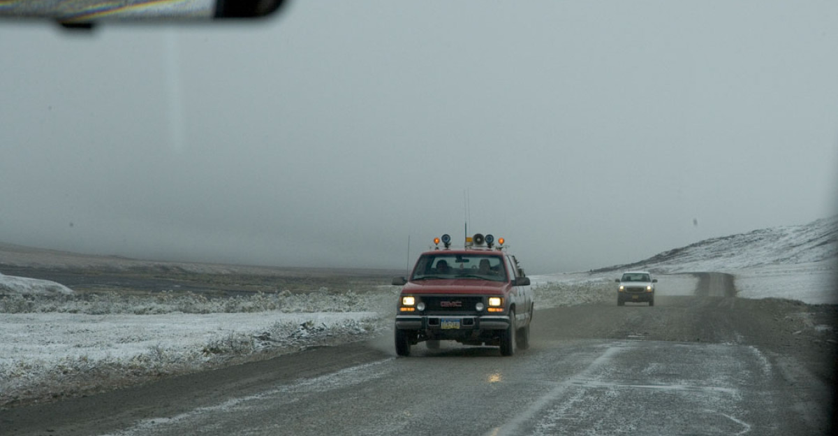
Strong winds were expected to whip falling snow into blinding sheets, potentially stranding motorists and slowing emergency response. Routines were disrupted as roads became treacherous and visibility plunged across multiple regions.
Clipper Origins
This storm began as a fast-moving Alberta clipper—low-pressure systems known for speed rather than size. But by January 13, it had expanded far beyond the Midwest, pushing south into Tennessee and North Carolina.
Active through January 15, the system combined Arctic air with moisture over the Great Lakes, intensifying snowfall. While clippers are common, this one’s geographic reach made it unusually disruptive.
Warnings Widen
Winter storm watches and advisories expanded eastward into the Ohio Valley as the system advanced. By state count, roughly half of the U.S. was affected. Alaska’s Central Aleutians faced gusts near 60 mph.
Blowing snow reduced visibility along the Beaufort Sea coast. As the storm marched east, officials warned that worsening conditions could trigger school closures, power outages, and prolonged travel disruptions.
Travel Advisory

The National Weather Service delivered a blunt message: “Travel will be very difficult and is discouraged unless it is an emergency.” Issued January 13 for areas from Alaska through the Great Lakes, the advisory reflected forecast whiteout conditions and serious travel hazards.
As visibility was expected to fall below half a mile, the warning underscored how wind and snow would combine to create dangerous conditions.
Northern Fury

Alaska absorbed the storm’s most extreme forecasts. The Klondike Highway faced 12–20 inches of snow with winds reaching 65 mph, creating near-zero visibility.
In the Central Aleutians, 4–8 inches would fall amid 60 mph gusts, while the Beaufort Sea coast saw persistent blowing snow. Remote communities faced potential isolation as roads were expected to become impassable and travel windows vanish.
Human Toll
In Michigan’s Upper Peninsula, snowfall totals were forecast to reach 6–7 inches, driven by 45 mph gusts. Lake-effect snow intensified impacts across northern Michigan and Indiana.
Commuters were warned to expect icy roads and drifting snow during morning drives, while families prepared for potential school closures and intermittent power disruptions. Though totals were lower than Alaska’s, the impacts were amplified by wind, timing, and repeated storms this winter.
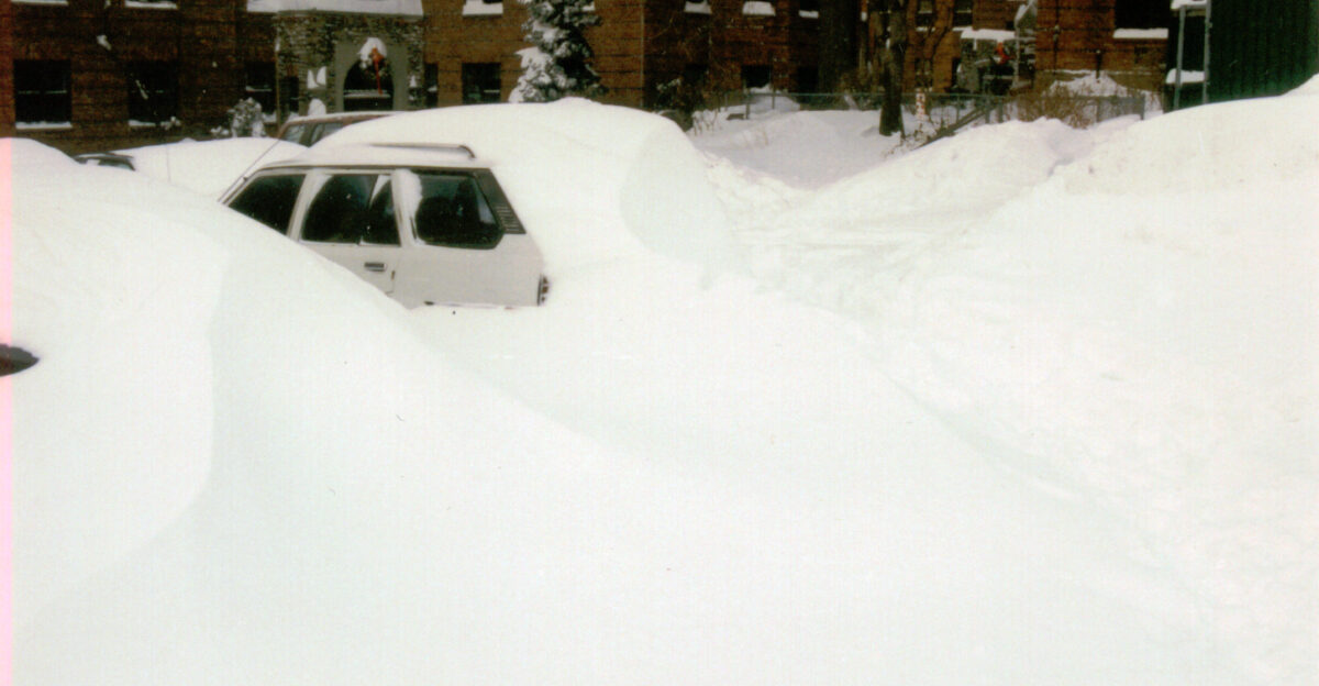
Great Lakes Grip
Minnesota and Wisconsin remained under winter weather warnings as snow and blowing snow threatened to reduce visibility across highways and farmland. The broader Great Lakes region faced compounding effects from lake-enhanced snowfall and strong winds.
As major transportation corridors prepared to slow, supply chains felt pressure. Emergency services prioritized critical responses, while potential shipping delays raised concerns for agriculture and regional commerce.
Southern Reach
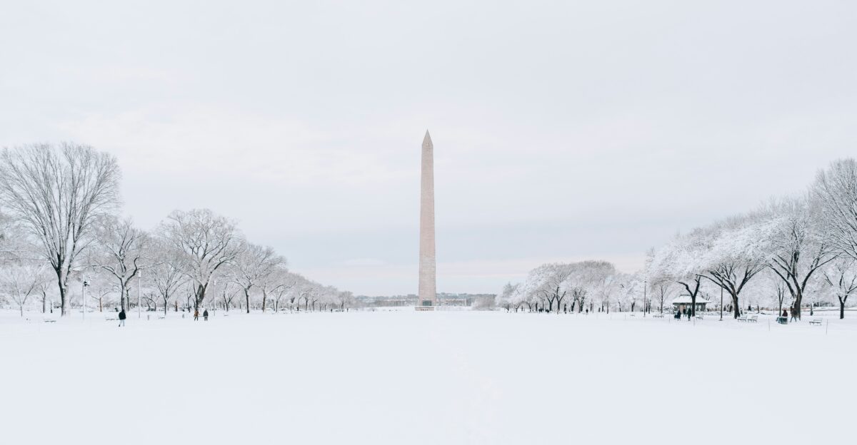
The storm’s southern extent reached the higher elevations along the Tennessee–North Carolina border and extended into West Virginia. For a mid-January clipper, this southward push represented significant geographic coverage.
At least 25 states were affected overall, though impacts ranged from light snow to intense blizzard conditions, with the most severe effects concentrated in Alaska and the Great Lakes region. Once again, Great Lakes snowbelts found themselves directly in the storm’s path.
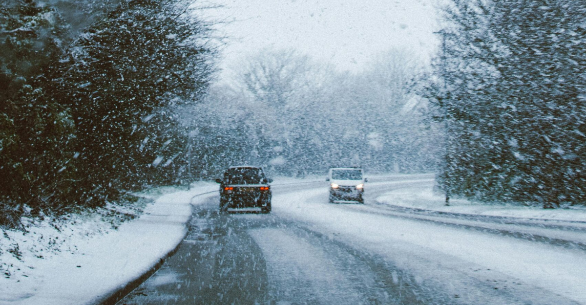
Visibility Crisis
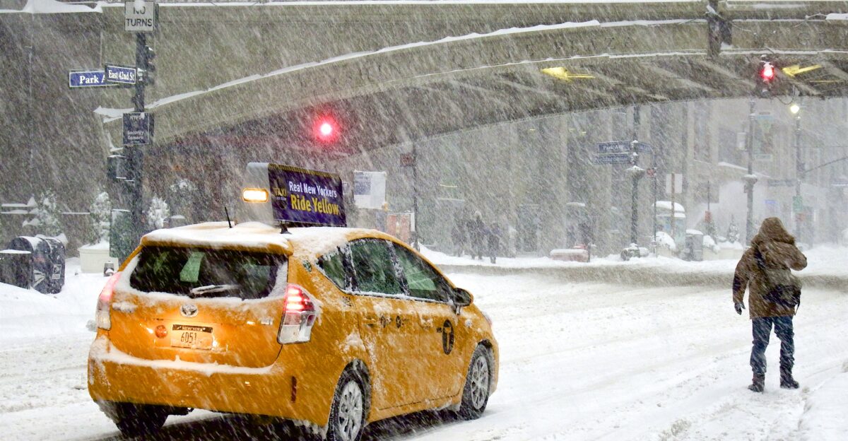
Beyond snowfall totals, visibility defined this storm’s danger. In multiple regions, visibility was forecast to drop to half a mile or less as wind-driven snow intensified.
These anticipated whiteout conditions triggered emergency-only travel advisories and prepared officials for potential highway closures. The combination of moderate snowfall and extreme blowing snow reframed the event—not just as a snowstorm, but as a visibility-driven travel crisis.
Resident Warnings
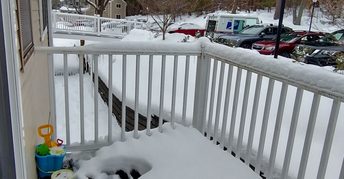
Local officials urged residents to stay home, monitor updates, and prepare for extended disruptions. Tuesday and Wednesday morning commutes were flagged as especially hazardous across the Upper Midwest and Appalachians.
Many residents heeded warnings as conditions deteriorated. With repeated lake-effect events already straining patience, many questioned whether communities were prepared for a winter this relentless.
NWS Response
National Weather Service offices coordinated warnings from Alaska to the Appalachians as the system evolved. Forecast teams issued continuous updates to reflect shifting wind fields and snowfall bands.
The response emphasized rapid communication and regional coordination. The storm’s sprawling footprint required flexible forecasting as conditions changed hour by hour.
Prep Push
Communities activated snow removal operations and power restoration plans ahead of peak impacts. Schools closed preemptively, and many businesses shifted to remote work.
Utility crews staged equipment to respond quickly to wind-downed lines. Officials urged residents to check emergency kits, generators, and heating systems—early recovery planning aimed at reducing potential multi-day disruptions.
Uncertainty Lingers

Meteorologists cautioned that impacts would not end cleanly. Lingering lake-effect snow remained possible even as the main system weakened.
Forecast models showed uncertainty in how quickly conditions would improve, especially in Great Lakes snowbelts. Ice development after snowfall raised additional concerns. Experts warned that infrastructure stress could persist beyond the storm’s official exit.
Next Onslaught?
As the clipper exits by Thursday, January 15, attention turns to what comes next. Atmospheric patterns linked to Pacific ridging suggest additional systems are possible later this month.
With at least 25 states affected this time, questions about resilience loom large. Are widespread winter events becoming more common—or was this storm a notable convergence of conditions?
Sources:
Newsweek, “Winter Weather Warnings Issued for 4 States”, January 13, 2026
NY Post, “Sprawling midweek storm to bring snow to at least 25 states”, January 13, 2026
National Weather Service, “Winter Storm Warning” (Alaska), January 13, 2026
Yahoo News/Fox Weather, “Sprawling midweek storm to bring snow to lake-effect snowbelts”, January 12, 2026
iHeartRadio, “Massive Storm Could Bring Heavy Snow As Far South As North Carolina”, January 11, 2026
Yukon News, “Alaska Highway, South Klondike closed due to winter conditions”, January 12, 2026