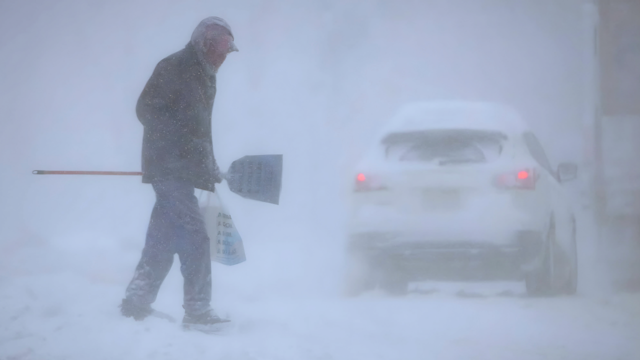
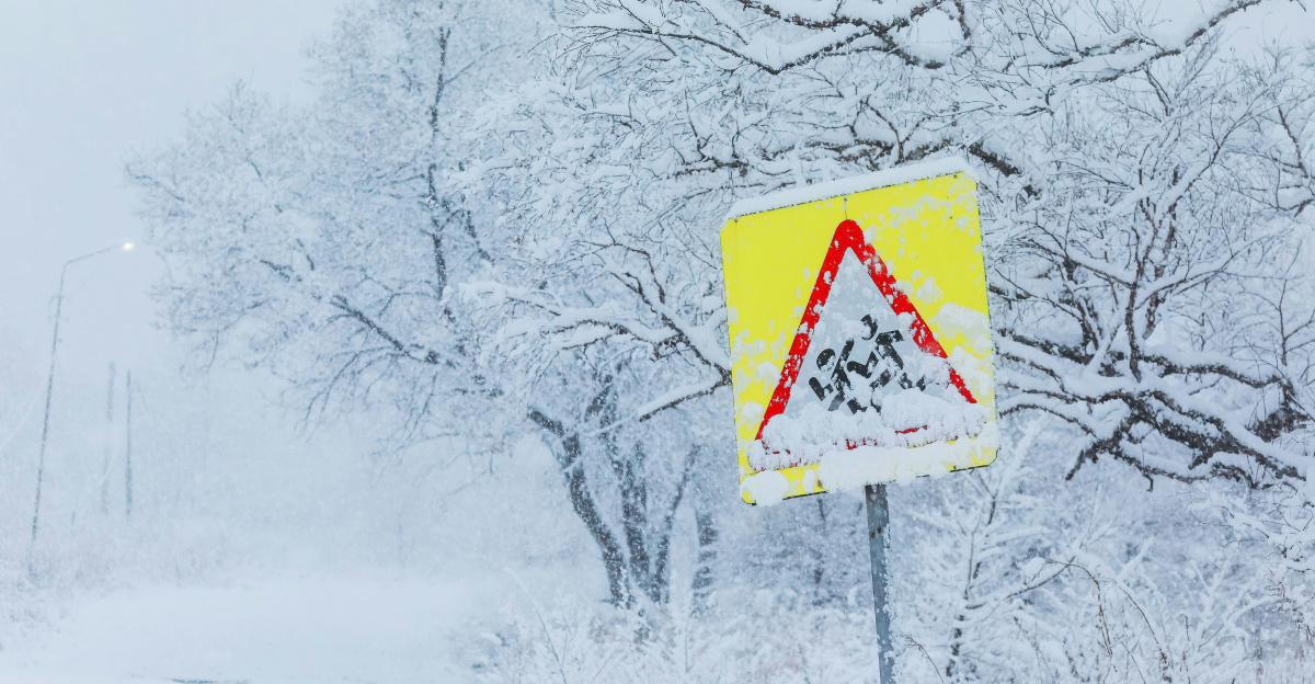
A thick, icy fog rolled across the Mid-Atlantic early Sunday morning, December 7, 2025, turning highways and city streets into treacherous corridors of reduced visibility and hidden hazards. In northern Virginia, southern Maryland, the Washington D.C. area, and the Delmarva Peninsula, drivers navigated by instinct as visibility dropped to a quarter mile or less. Bridges and overpasses, often the first to freeze, became coated with a thin, nearly invisible layer of black ice. The National Weather Service issued urgent freezing fog advisories, with the dangerous phenomenon unfolding in real time during the early morning hours.
Arctic Blast Fuels Rare Freezing Fog Event
A powerful surge of arctic air pushed temperatures below freezing across the region, creating the perfect conditions for a rare and dangerous freezing fog event. Supercooled water droplets in the fog froze the moment they touched cold surfaces, forming a slick glaze on roads, sidewalks, and vehicles. This was not ordinary winter fog—it was a rare and dangerous phenomenon that caught even cautious drivers off guard. The National Weather Service issued specific freezing fog advisories valid until 10 AM Sunday morning, warning of one-quarter mile or less visibility and rapidly forming black ice.
Reduced Visibility and Hazardous Roads Sunday Morning
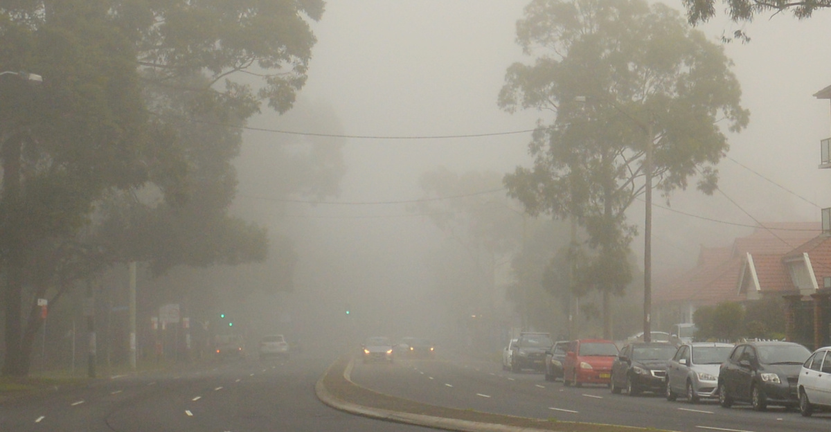
The freezing fog advisory issued by the National Weather Service covered Washington D.C., southern Maryland, northern Virginia, and the Delmarva Peninsula (Delaware, Maryland, and Virginia coastal regions). On heavily traveled routes like the I-95 corridor, drivers faced near-zero visibility during the early morning commute, with rapidly forming black ice especially dangerous on bridges and overpasses. The NWS warned that this thin, slippery coating was particularly dangerous because it was hard to see and could cause vehicles to lose traction without warning. Authorities urged extreme caution during the critical morning hours when traffic was heaviest and visibility was most impaired.
Immediate Response to Dangerous Conditions
Transportation crews in Maryland and Virginia responded swiftly, deploying salt trucks and road treatment crews to highways and major streets as conditions developed. Despite pre-treatment efforts, the combination of freezing fog and plummeting temperatures made it difficult to keep all roads safe. Crews focused their efforts on high-traffic routes and known problem areas like bridge decks and overpasses, though secondary roads remained especially hazardous. Emergency responders were on high alert Sunday morning, prepared for an increase in accidents and calls for assistance related to the freezing fog event.
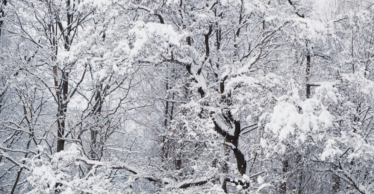
Arctic Air Mass Drives Record Cold Across the Northeast
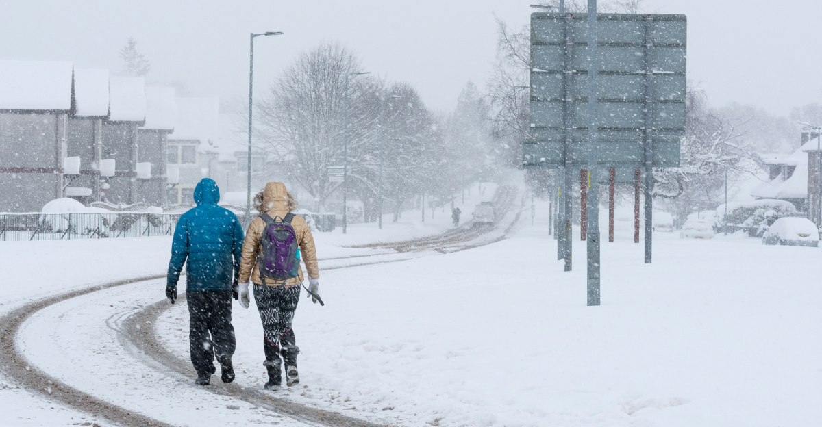
As the arctic air mass continued its southeastward movement, major Northeast cities like New York, Boston, and Philadelphia braced for some of the coldest December days in recent memory. Temperatures were expected to plummet into the teens and single digits by Monday and Tuesday, raising concerns about public safety, infrastructure strain, and the ability of heating systems to keep pace. Energy demand surged as millions turned up their thermostats, putting pressure on power grids and natural gas supplies. Regional officials monitored the developing cold pattern closely, aware that prolonged arctic conditions could have cascading effects on transportation, utilities, and daily life.
Winter Weather Tests Regional Infrastructure
The freezing fog event and broader arctic blast tested the region’s infrastructure and emergency response systems during a critical period. The National Weather Service had issued the freezing fog advisory specifically for Sunday morning’s dangerous conditions, while tracking the progression of the larger arctic air mass expected to intensify through the following week. The American Red Cross and local emergency management agencies activated cold weather safety protocols and offered guidance to residents on preparing for the extended period of below-normal temperatures.
The combination of Sunday morning’s freezing fog hazard and the incoming arctic outbreak highlighted the vulnerability of transportation systems and infrastructure to rapid weather changes. NOAA’s Climate Prediction Center tracked the pattern associated with La Niña, which had influenced weather patterns throughout late 2025 and contributed to this unseasonable December cold.
Sources:
National Weather Service (NWS) Freezing Fog Advisories for December 7, 2025;
NOAA Climate Prediction Center Winter 2025–26 Outlook and La Niña Analysis;
American Red Cross Winter Weather and Cold Emergency Safety Guidance;
AccuWeather Arctic Outbreak and Polar Vortex Analysis;
National Weather Service Weather Prediction Center Arctic Forecasts.