Urgent flood warnings swept across Washington, Mississippi, and Louisiana on January 11, 2026, as swollen rivers pushed past danger thresholds following heavy precipitation. Roads, homes, farmland, and critical infrastructure faced imminent inundation as water levels climbed rapidly. Officials issued a blunt message to the public: “Turn around, don’t drown when encountering flooded roads,” according to NWS advisories.
With rivers rising 2 to 4 feet above historical flood stages and conditions classified as “minor to moderate flooding,” the National Weather Service warned impacts could persist through mid-January. Here’s what’s happening as this unusually widespread winter flooding unfolds.
Rivers Rising Across Thousands of Miles
Seven distinct rivers surged simultaneously across the Pacific Northwest and the Deep South, a geographic span that pointed to a coordinated atmospheric system driving precipitation across thousands of miles. In Washington, the Skokomish River peaked at 17.6 feet on January 11, one foot above flood stage. At the same time, Mississippi’s Chickasawhay River reached 23.5 feet, exceeding its flood threshold by 3.5 feet.
Louisiana faced a similar challenge as multiple rivers crested within hours of one another. This overlap strained emergency response efforts and complicated evacuations. Officials noted that the wide dispersion of flooding underscored the scale and intensity of the atmospheric anomaly fueling the event, making it one of the more unusual winter flood patterns observed in recent years.
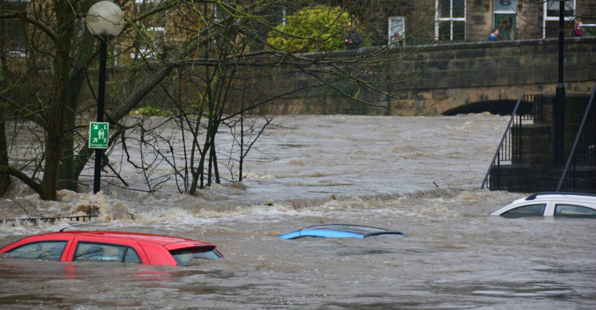
River flooding remains one of the costliest and deadliest natural hazards in the United States. According to the National Weather Service, flooding is among the leading causes of weather-related fatalities, with more than half of all flood deaths occurring in vehicles. These findings led to the creation of the “Turn Around, Don’t Drown” campaign, which has become central to NWS flood safety education.
Research cited by the NWS shows that drivers consistently underestimate both water depth and current speed, especially at night. Winter flooding events affecting multiple states at once are relatively uncommon, which made the coordinated warnings issued across Washington, Mississippi, and Louisiana particularly significant and heightened concerns about public safety.
Roads, Corridors, and Weak Points Exposed
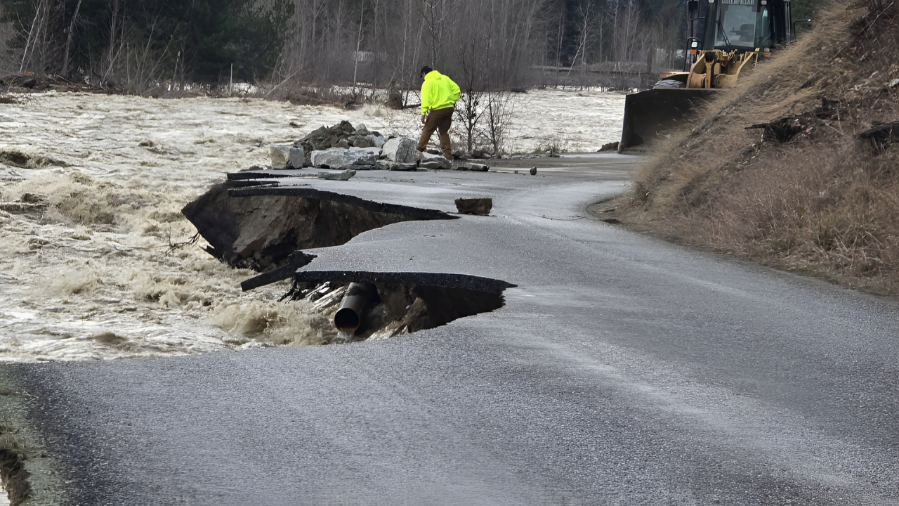
Floodwaters quickly overwhelmed infrastructure across rural and suburban areas in all three states. Roads lacking sufficient elevation or drainage were unable to handle water levels 2 to 4 feet above historical norms. Highway 106 in Washington, Highway 22 in Louisiana, and multiple county routes in Mississippi serve as vital evacuation and commercial corridors, making closures especially disruptive.
Local governments reported deploying barricades overnight as rivers rose faster than expected. Some residents returning home late found roads already submerged. With many rivers cresting within a 24 to 48 hour window, counties and parishes had minimal time to prepare, revealing vulnerabilities in transportation networks critical to both emergency response and daily commerce.
Communities Cut Off as Waters Spread

At least six major roads became impassable as floodwaters rose across the three states. These included Skokomish Valley Road and Highway 106 in Washington, Highway 22 south of Robert in Louisiana, Louisiana Highways 10 and 21 near Franklinton, and multiple county routes in Mississippi’s George, Greene, and Perry Counties.
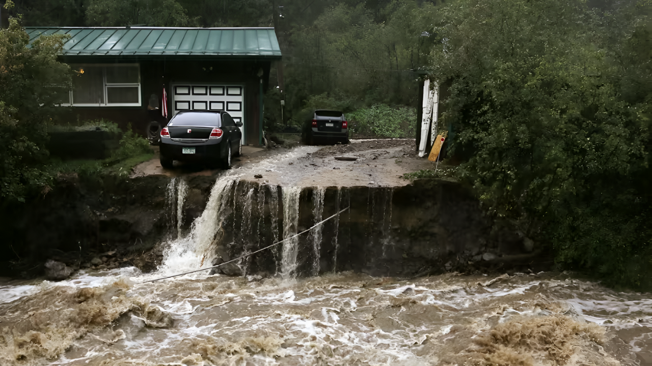
NWS warnings explicitly identified neighborhoods facing imminent danger. In Louisiana’s Bogue Chitto Heights Subdivision, officials warned that “some homes will be damaged.” Low-lying residential areas faced water intrusion, prompting evacuations and preparation orders. The convergence of overflowing rivers created cascading impact zones where backed-up tributaries intensified flooding in surrounding communities.
State-By-State Flood Crises Collide
In Washington, the Skokomish River at Potlatch peaked at 17.6 feet, surpassing its 16.5-foot flood stage and submerging multiple roads. Mason County officials reported “deep and quick flood waters inundating some residential areas,” according to NWS warnings. Highway 106 remained closed through January 13, with forecasts indicating elevated levels for 5 to 7 days.
Mississippi faced a dual crisis as the Chickasawhay and Leaf Rivers exceeded flood stage within hours. The Chickasawhay crested at 23.5 feet, while the Leaf was forecast to peak at 22 feet. Louisiana confronted flooding on the Tangipahoa, Tickfaw, and Bogue Chitto rivers, all cresting within overlapping 36 to 48 hour windows and stretching parish emergency services to capacity.
Nighttime Flooding and Emergency Strain
The NWS repeatedly emphasized the heightened danger of nighttime flooding. “Most flood deaths occur in vehicles. Turn around, don’t drown when encountering flooded roads,” the agency warned in multiple advisories. Rural highways in Louisiana and Mississippi often lack adequate lighting, increasing the likelihood that drivers encounter submerged roads without warning.
Emergency dispatchers reported calls from stranded motorists after unexpected encounters with floodwaters. At the same time, emergency management offices across three states activated disaster protocols, declared local emergencies, and coordinated with state and federal agencies. Officials acknowledged that the simultaneous activation strained mutual aid agreements as neighboring regions faced similar conditions.
Long-Term Risks Beyond Receding Waters
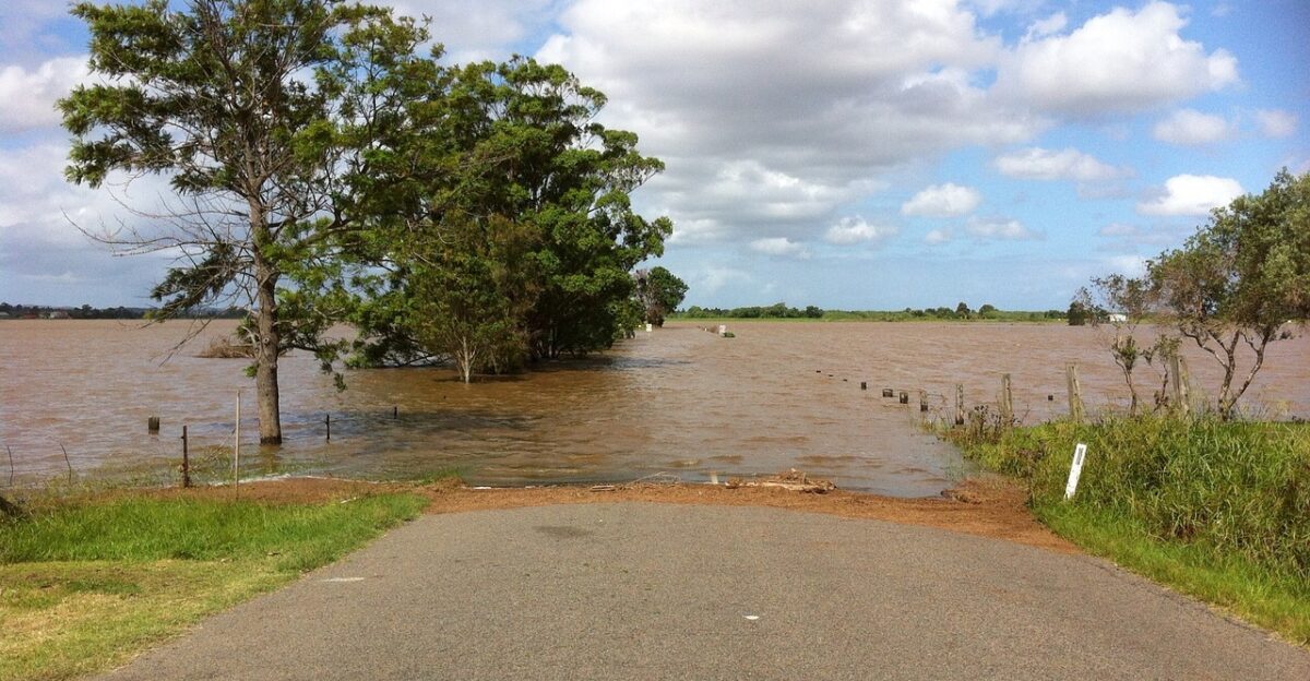
Flooding extended beyond roads and homes, threatening agriculture, ecosystems, and public health. In Louisiana, the Bogue Chitto Wildlife Management Area faced inundation that cut off access roads and halted outdoor activities. Environmental agencies warned floodwaters could carry agricultural chemicals and debris into sensitive downstream ecosystems.
Public health officials also monitored risks to water treatment plants, septic systems, and sewage facilities in low-lying areas. Interstate coordination added complexity, as rivers crossing state lines required real-time collaboration involving the Army Corps of Engineers. As waters lingered through mid-January, the event intensified policy debates over infrastructure resilience and preparedness for future flooding.
Conclusion: A Warning That Extends Beyond January
The January 2026 flooding revealed how quickly coordinated weather systems can overwhelm infrastructure, emergency services, and communities across vast regions. From submerged highways to threatened homes and farms, the impacts stretched far beyond immediate flood zones, affecting transportation, agriculture, ecosystems, and public health.
Officials emphasized that early warnings and public awareness campaigns like “Turn Around, Don’t Drown” remain critical tools in reducing loss of life. At the same time, the event highlighted long-standing vulnerabilities in roads, drainage systems, and emergency communication networks. As recovery begins and inspections continue, lessons from this multi-state flood are likely to shape infrastructure planning, emergency coordination, and preparedness strategies for years to come.
Sources:
Flood Warnings for Washington, Mississippi, Louisiana. Newsweek, January 13, 2026
Flood Warnings For 3 States—Homes Inundated. Newsweek, January 14, 2026
Watches, Warnings & Advisories – Skokomish River. National Weather Service, January 12, 2026
Watches, Warnings & Advisories – Chickasawhay River. National Weather Service, January 14, 2026
Flood Warning – Tangipahoa River. National Weather Service New Orleans, January 14, 2026
Turn Around Don’t Drown Campaign. National Weather Service, October 6, 2020