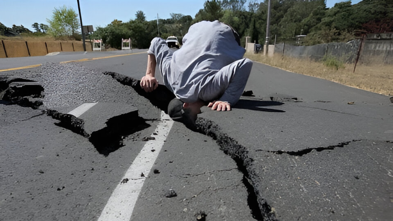
A 4.4 magnitude earthquake struck without warning on a Tuesday afternoon, its epicenter 120 miles north of San Francisco in remote Mendocino County wine country. Felt across the entire Bay Area by millions, the moderate tremor pierced the region’s false sense of security atop one of Earth’s most active fault systems.
Where It Struck and Why It Shook So Far

The quake centered five miles east-southeast of Willits, California, about 17 miles north of Ukiah, at a shallow depth under five miles. This proximity to the surface—confirmed by the US Geological Survey—allowed seismic waves to propagate efficiently, rattling offices, homes, and streets 100 miles away in the densely populated Bay Area. Just ten miles from the Maacama Fault, a segment of the vast San Andreas system that spans 800 miles along California’s length, the event highlighted how shallow quakes amplify distant impacts compared to deeper ones.
Aftershocks Intensify the Alert

Within two hours, a 3.7 magnitude aftershock hit the same zone, heightening tremors at Mendocino College and nearby areas. Three smaller events followed: magnitudes 1.7, 1.5, and 1.4. No injuries or significant damage occurred, yet the sequence left residents vigilant, underscoring the Maacama Fault’s potential for magnitude 7.0-plus quakes.
Bay Area’s Looming Seismic Odds
Home to eight million people, the San Francisco Bay Area faces a 72 percent chance of a magnitude 6.7 or greater earthquake by 2043, per the USGS 2014 forecast. Regionally, Northern California holds a 95 percent probability of such an event in the same timeframe. A 6.7 quake can demolish buildings, rupture infrastructure, and inflict billions in losses—as seen in the 2014 Napa 6.0 temblor, which caused over $1 billion in damage and one death. Risks escalate: 51 percent odds for magnitude 7.0 in the Bay Area, and 20 percent for 7.5. Statewide, a 7 percent chance exists for magnitude 8.0 within 30 years, with a San Andreas 7.8 potentially yielding $60 billion in damage, 2,550 deaths, and 49,000 displaced households.
The Hayward Fault’s Shadow
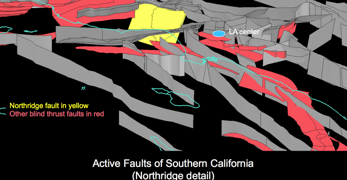
Among local threats, the Hayward Fault stands out, threading East Bay foothills under Oakland and Fremont, with a 33 percent chance of magnitude 6.7-plus by 2043. Parallel to the San Andreas, the Maacama adds to this network. The Bay Area’s 117-year lull since the 1906 disaster—broken only by Napa’s 2014 shake—signals building stress, not safety. Swarms like this raise short-term odds of larger quakes slightly, to a few percent, demanding close monitoring.
Preparedness in Earthquake Country
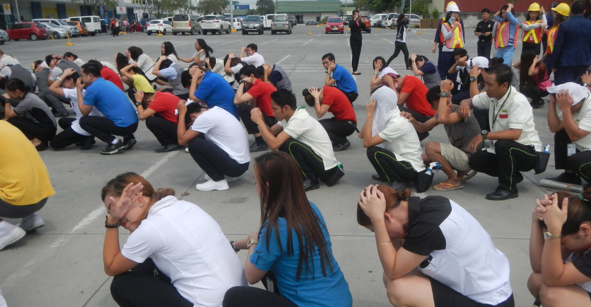
Over 70 percent of Californians live within 30 miles of an active fault. Experts urge securing furniture, practicing drop-cover-hold-on drills, and stocking water, food, and first aid. Retrofitting structures and upgrading lifelines offer proactive steps amid the 20-year horizon to 2043, when risks peak. This swarm acted as an urgent signal: vigilance and preparation define life in this volatile zone, where the next major rupture remains inevitable but its timing elusive.
Sources
US Geological Survey. “Earthquake Outlook for the San Francisco Bay Region 2014–2043.” USGS Fact Sheet 2016-3020.
US Geological Survey. “M 4.4 – 9 km ESE of Willits, CA.” Earthquake Event Page, January 13, 2026.
Yahoo News / Associated Press. “Magnitude 4.4 earthquake jolts Northern California.” January 13, 2026.
San Francisco Chronicle. “Magnitude 4.4 earthquake jolts Northern California.” January 13, 2026.
USA Today. “The Big One: Is California ‘overdue’ for a devastating major earthquake?” June 7, 2025.
Earthquake Country Alliance / USGS. “Understanding Earthquake Hazards in the San Francisco Bay Area.” Educational Resource.