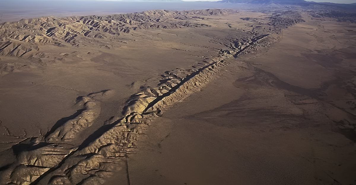
The Cascadia Subduction Zone is a huge geological fault stretching 600 miles offshore from Northern California to British Columbia. Every 400 to 600 years, it unleashes a massive earthquake with a magnitude of over 8.0.
Scientists know we’re overdue for another big quake. The last one struck in 1700, causing destruction all up and down the coast. Modern research says there’s a 15% chance of another 8.0+ quake within 50 years and a 37% chance of a 7.0 or larger.
Experts say it’s not a matter of if but when the next big one will shake the region, threatening millions along the West Coast.
Hidden Danger
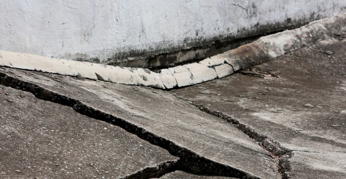
Most people worry about the initial shaking and the risk of tsunamis from an earthquake. Still, scientists recently discovered an overlooked threat that might be even more damaging in the long run.
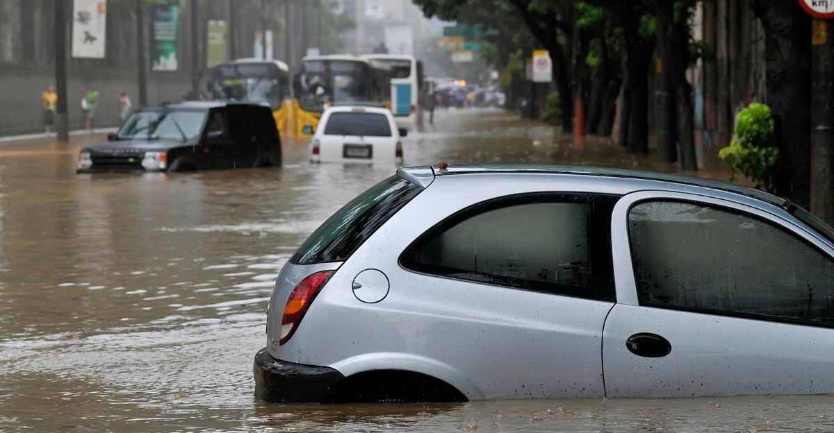
Researchers at Virginia Tech found that, when the Cascadia quake comes, entire pieces of coastal land could drop by as much as 6.5 feet in just a few minutes.
This sudden sinking, called subsidence, could permanently change the landscape, pushing flood zones farther inland for generations.
Scientific Mystery
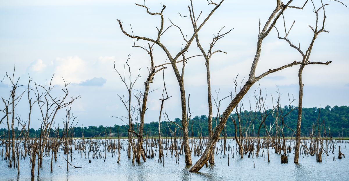
Geologists have long known that Cascadia earthquakes cause the coastline to sink, there are ghost forests of dead trees in Pacific Northwest swamps that drowned after older quakes dropped the land below the tide.
Oral histories from Indigenous peoples describe villages swallowed by water after the 1700 quake, forcing survivors far inland.
Despite this, until now, no one had calculated just how much extra danger of flooding modern communities now face due to this sinking.
Research Scale

Assistant professor Tina Dura and her team at Virginia Tech ran tens of thousands of computer models to see how different sinking scenarios would affect the region.
They looked at 24 coastal towns and estuaries along Cascadia, simulating land drops of 0.5, 1, and 2 meters.
Their research was the first to show, in detail, how much more land would be at risk for 1-in-100-year floods if a massive earthquake hit the Pacific Northwest.
Flood Zone Explosion
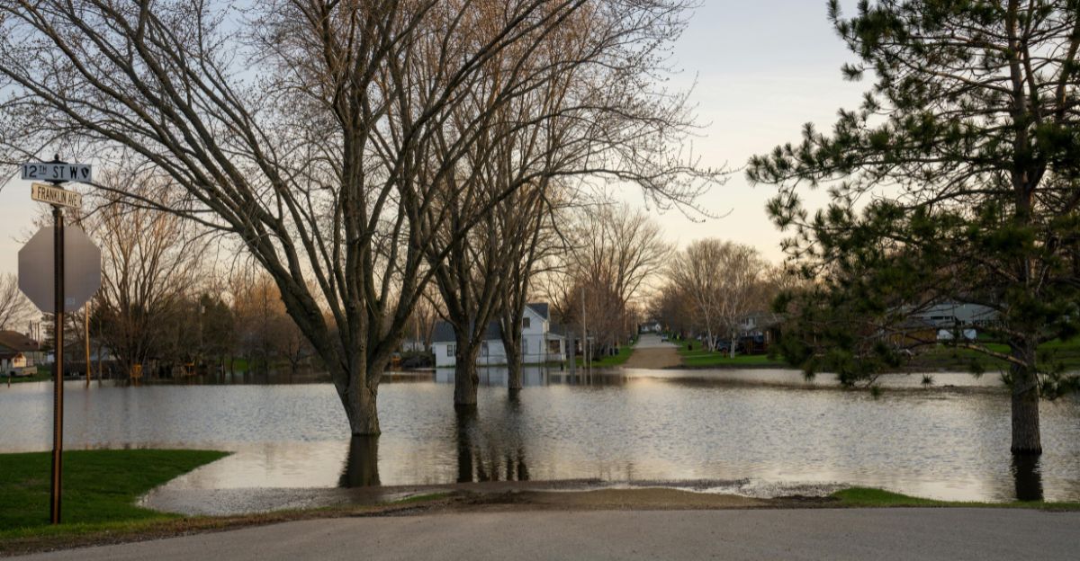
The study’s most shocking finding is that earthquake-driven land sinking could double (or more) the number of people and buildings directly threatened by floods.
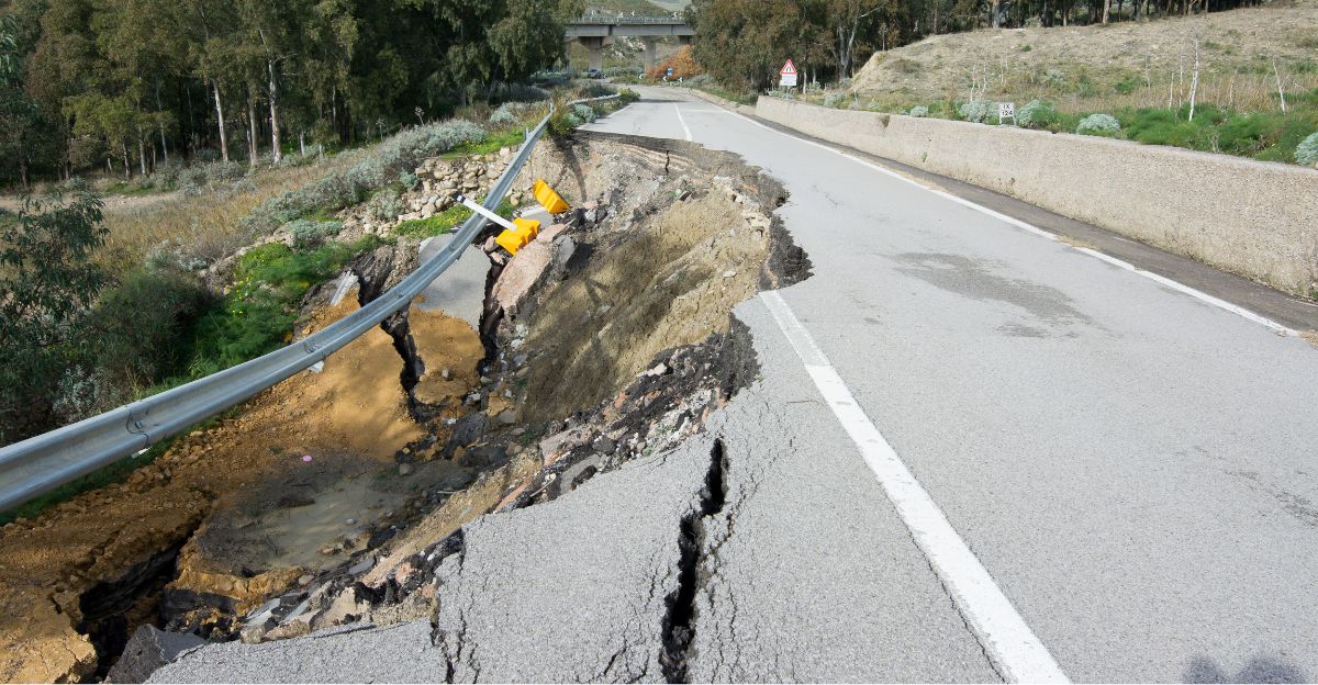
If such an earthquake happened today, over 14,000 more people and 22,500 more buildings would fall into the risky flood zones, and about 777 extra miles of roads would also be threatened.
The most significant impacts would strike densely populated parts of southern Washington, northern Oregon, and northern California, home to millions of people.
Infrastructure at Risk
Not only are homes at risk, but critical infrastructure is also. The study identified five airports, 18 schools and hospitals, eight sewage plants, an electric substation, and over 50 facilities that might leak pollution and could all end up underwater.
Flooded police and fire stations could leave communities without emergency response right when they’re needed most, undermining rescue and recovery for months or years.
Human Impact
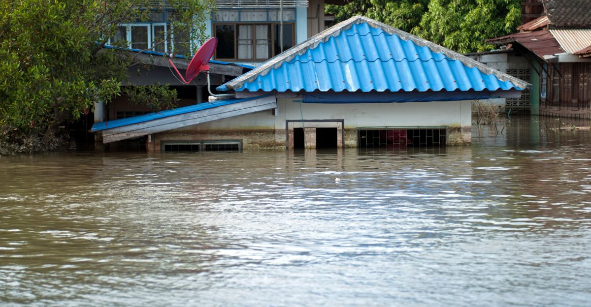
These aren’t just numbers; real lives would be upended. In places like Eureka, Newport, and Aberdeen, entire neighborhoods could become uninhabitable overnight.
As researcher Tina Dura points out, this isn’t a temporary problem. Unlike a tsunami, which can be cleaned up, sinking land means water is here to stay.
Some towns may have to move permanently, changing life in coastal communities that have existed for generations.
Economic Devastation
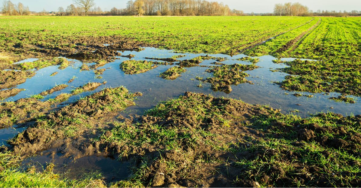
Coastal farms and ranches would also be devastated. If seawater floods these lands, the soil can become salty and useless for crops or grazing.
That means huge financial losses for farmers and ripple effects for food supplies. Ports would be shut down for months or longer, disrupting regional and national trade.
Analysts estimate the damages could run into the tens of billions, and the economic shock would impact the country.
Environmental Collapse
Sudden sinking would also destroy the coastline’s unique natural defenses.
These ecosystems help absorb storm surges and protect inland areas. They are also home to many species and help store carbon, slowing climate change.
Once lost, these habitats may never recover, exposing coastlines to future storms and environmental harm.
Climate Amplification

The disaster doesn’t end with just the earthquake. Global climate change is making things worse. Experts predict that 2100 sea levels could rise by up to three feet along Cascadia.
A sinking coast and higher seas could result in at-risk floodplains being three times larger than they are now.
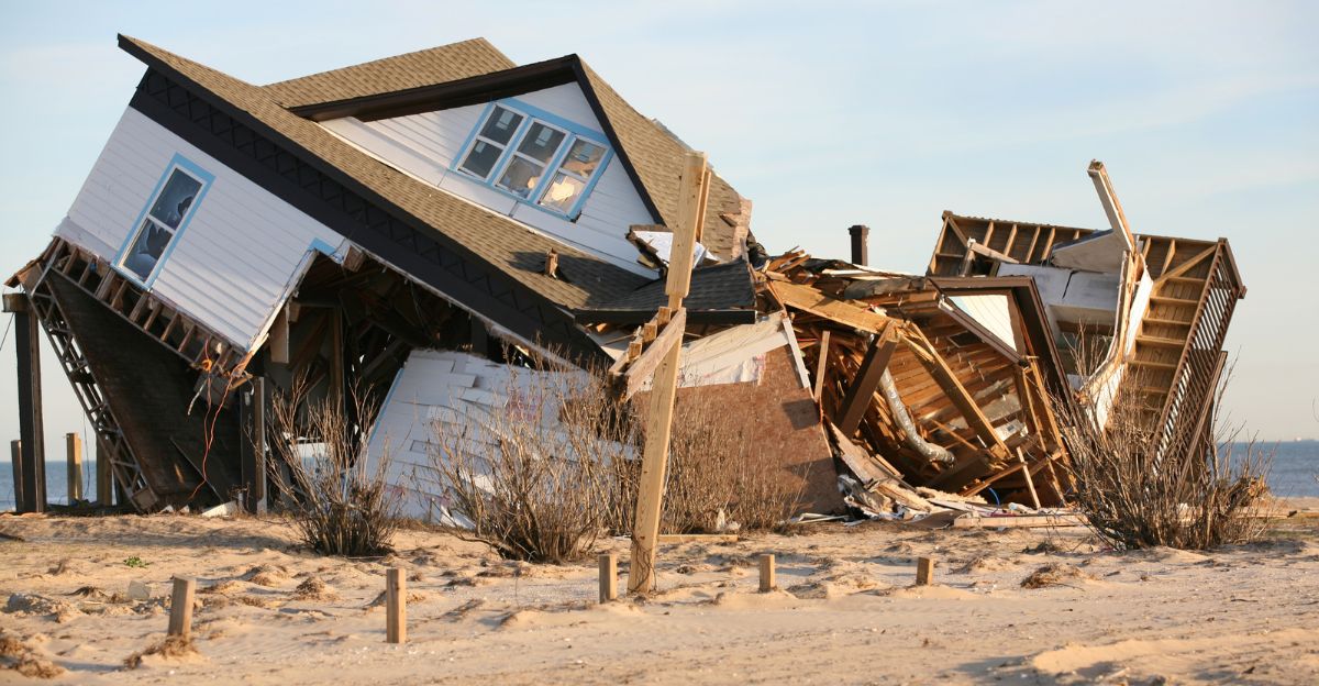
In the worst case, coastal towns will find themselves permanently below sea level like a never-ending tsunami, much like what happened in Japan in 2011 or in Sumatra in 2004.
Response Challenges
Helping people after such a disaster will be more complex than ever. Many highways, like Highway 101, will flood immediately after the quake.
Hospitals, fire departments, and shelters may all be underwater, making it difficult or impossible to rescue those stranded by floods or tsunamis.
Some survivors could wait days or weeks for help, especially if federal aid is delayed by destroyed roads or flooded airfields.
Federal Preparations
To address this, FEMA and other agencies have created large-scale response plans for a worst-case scenario: a 9.0 earthquake and widespread flooding.
The region’s emergency plan includes estimates of 14,000 deaths, over 100,000 injuries, and economic losses reaching $134 billion.
Federal, state, and local governments would need to work together like never before, and the consequences would last for years nationwide.
Community Adaptation

Communities are stepping up. In Washington and Oregon, cities like Tacoma, Seattle, and Portland are forming neighborhood emergency teams and creating resilience hubs where people can gather for help and information during a disaster.
Local planning is underway to ensure vulnerable people get assistance. Indigenous tribes, drawing on centuries-old oral histories, are relocating villages away from dangerous coastlines and building towers for vertical evacuation.
Evacuation Reality
Unlike typical disasters, fleeing the Cascadia earthquake will resemble Hurricane Katrina’s scale, so many people will have to leave their homes permanently.
Some, including thousands who are elderly or need dialysis, may need to be airlifted to safety. Alarmingly, fewer than half of coastal residents have even practiced evacuation; many plan to pack before leaving, risking deadly delays.
Yet, tsunami waves may arrive just 15–20 minutes after the earthquake strikes.
Future Uncertainty
While science can model much of what might happen, some remain unknown. The timing of the next great quake is unpredictable; no one knows precisely when.
Mapping shows that the Cascadia fault is more complicated than once thought, with some segments potentially more dangerous than others. On top of that, climate change is making everything more unpredictable.
Planners have better data now, but as Tina Dura puts it, complete preparation is likely impossible: “It’s a race against time.”
Policy Response

Because of this research, state and federal agencies are updating building codes, land use rules, and evacuation plans.
Emergency officials in Oregon and Washington are toughening infrastructure requirements and rethinking where to put critical facilities like schools, hospitals, and fire stations.
Researchers urge governments to immediately update official flood maps to account for earthquake-driven land sinking, which would better guide future development and investments in safer areas.
Economic Ripples
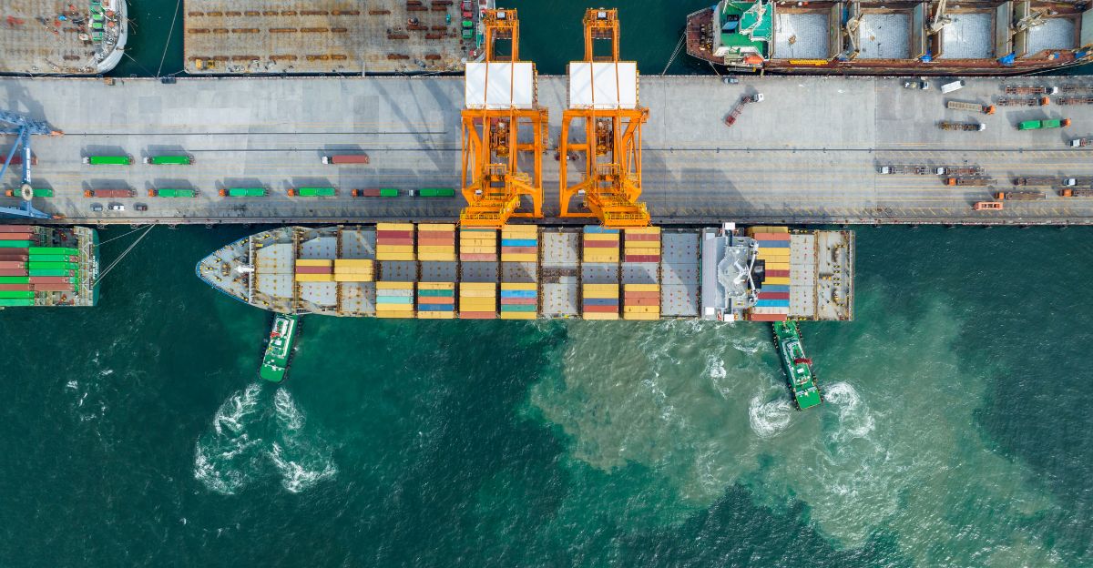
The economic impacts will reach far beyond the region. West Coast ports like Seattle, Tacoma, and Portland handle 40% of U.S. container imports.
If earthquakes and flooding knock these out, shipping companies will be forced to reroute to the East Coast or Gulf, putting extra pressure on ports with less capacity.
Insurance companies are reassessing risk and raising premiums. At the same time, home values in risky areas start to drop. The impact on U.S. supply chains and prices could be felt nationwide.
Public Awareness

Despite all the warnings, most people in the area remain more concerned about tsunamis than the slow, permanent threat of sinking land and growing floods.
Social media often focuses on exaggerated claims about tsunami wave heights. Experts say more needs to be done to educate the public, and regular evacuation drills should be the norm, not the exception.
Misinformation about earthquake predictions is common, so people must realize that there will be no warning before a disaster hits.
Historical Precedent
History shows how bad things can get. Indigenous stories from the 1700 Cascadia earthquake describe villages vanishing, with only a few survivors.
The 1964 Alaska quake revealed how fast the coast can drop, while Japan’s 2011 disaster demonstrated that recovery from earthquake-flood tsunamis can take decades, if not permanently change the landscape.
These examples show that the Pacific Northwest faces significant, lasting changes.
Planning for Life After the Land Sinks
Virginia Tech’s new research dramatically changes what experts believe about Cascadia’s risks.
The most significant danger may be the initial earthquake or tsunami, and the permanent expansion of flood zones after the land sinks. That means some places people call home today might become unlivable forever. With more than 14,000 extra residents and critical infrastructure at risk, the time to prepare is right now, before the land sinks beneath the waves.