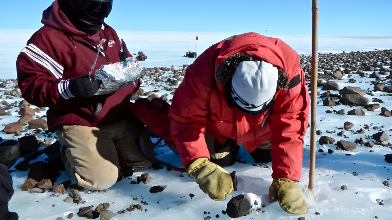
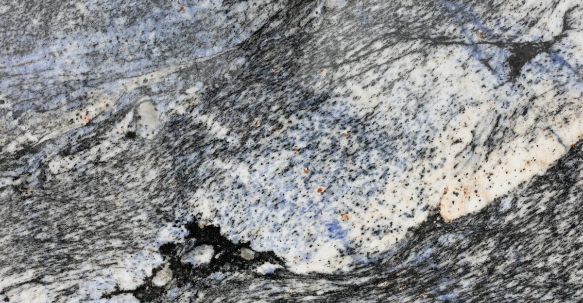
Pink granite boulders perched high on West Antarctica’s dark volcanic peaks have puzzled geologists for decades. Their unlikely presence miles from any known source points to a massive hidden structure nearly four miles beneath the ice, reshaping understanding of the region’s geology and ice dynamics.
Gravity Reveals Hidden Granite
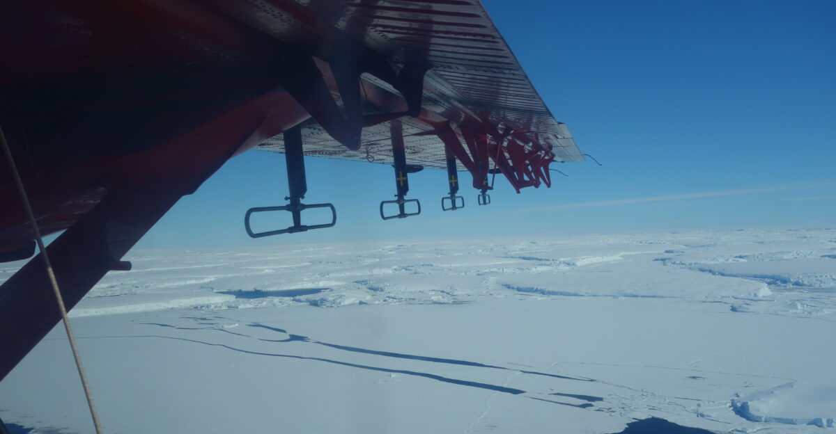
Scientists mapped the subsurface using airborne gravity surveys from Twin Otter aircraft equipped with sensitive instruments. These flights over Pine Island Glacier detected gravitational anomalies signaling a vast granite body, stretching 100 kilometers across and extending 7 kilometers into bedrock—roughly half the size of Wales.
The pink boulders on the surface matched the buried structure’s gravitational signature precisely, confirming the connection. Radioactive dating placed the granite’s formation 175 million years ago, in the Jurassic period, predating most nearby rocks.
Ice Carves Ancient Pathways
About 20,000 years ago, a thicker ice sheet ground across the bedrock like a vast frozen river. It quarried fragments from the granite below, lifting them thousands of meters before depositing them in the Hudson Mountains as the ice retreated during a warming period.
This boulder distribution traces ancient ice-flow routes, providing natural markers for reconstructing past glacier behavior. Such records refine computer models predicting how Antarctic ice will respond to future climate shifts.
Bedrock Shapes Glacier Fate
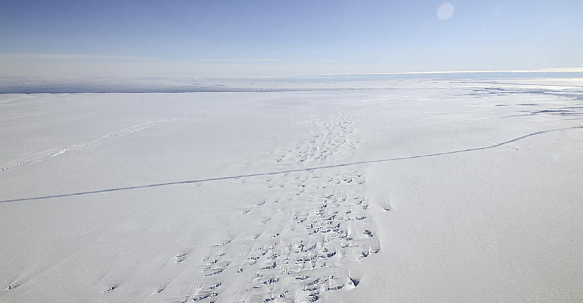
Pine Island Glacier, one of Antarctica’s fastest-melting outlets, sits directly atop this granite. The West Antarctic Ice Sheet contributed approximately 7.5 millimeters to global sea-level rise from 1992 to 2017, with the Amundsen Sea Embayment—including Pine Island and neighboring glaciers—playing a major role in this loss.
The granite’s density and properties influence subglacial water flow, friction, and ice speed. Detailed bedrock knowledge like this enhances projections of glacier stability, critical for West Antarctica, identified as the ice sheet’s vulnerable weak link amid accelerating loss.
Global Models and Sea-Level Stakes
The find, from the International Thwaites Glacier Collaboration, pioneers linking surface erratics—glacially transported rocks—to large subglacial features. It validates combining geochemistry, dating, and aerogeophysics for non-invasive mapping.
This method applies beyond Antarctica, aiding studies of Greenland and other ice-covered regions. Pine Island and Thwaites glaciers together could raise global sea levels by 1.16 meters if marine ice sheet instability takes hold, threatening coastal areas where approximately 129 million Americans reside.
As ice loss quickens, unmapped bedrock beneath Antarctica’s 14 million square kilometers holds more secrets. Published in October 2025 in Communications Earth & Environment, the study bolsters models guiding adaptation and policy amid rising urgency for precise sea-level forecasts.
Sources
Communications Earth & Environment. (2025, October 21). “Subglacial geology and palaeo flow of Pine Island Glacier from combining glacial erratics with geophysics.” Nature Communications.
British Antarctic Survey. (2025, October 21). “Hidden giant granite discovered beneath West Antarctic Ice Sheet.” BAS Media Release.
International Thwaites Glacier Collaboration. (2025). “Geological fieldwork and rock sample analysis from Hudson Mountains, West Antarctica.”
Ocean Science. (2025, October 27). “Thwaites Eastern Ice Shelf cavity observations reveal Pine Island Bay circulation and sea ice impacts.” Copernicus Publications.
NOAA Office for Coastal Management. (2019). “Economics and Demographics: Coastal County Population Statistics.”