On Oct. 19, 2025 the NHC began monitoring a tropical wave (Invest 98L) in the eastern Caribbean. By Oct. 20 forecasters assigned it a 70% seven-day development chance.
The wave is moving west at ~15–20 mph through the warm Caribbean Sea. If it organizes, it would be named Tropical Storm Melissa – the Atlantic season’s 13th storm.
Unusually Warm Waters Fuel Storm Development

Sea surface temperatures in the Caribbean have reached 90°F (30°C) – well above the 26.5°C threshold for cyclone formation. Wind shear is weakening and subsurface waters down to ~150 ft are very warm.
AccuWeather’s Alex DaSilva notes, “Atmospheric conditions are primed for a storm… the waters are exceptionally warm since the Caribbean has not been disturbed by a single tropical storm or hurricane so far this season.”
Island Residents Rush to Prepare
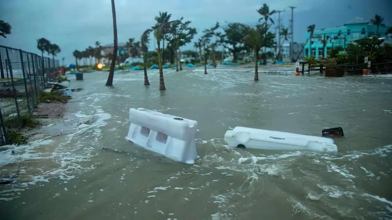
Heavy rain and gusty winds from 98L swept across the eastern Caribbean Oct. 19–20, prompting urgent preparations. The Windward and Leeward Islands reported flooding and tropical-storm conditions as the system passed, with the ABC Islands (Aruba/Bonaire/Curaçao) under warnings.
Local disaster agencies activated hurricane protocols and communities stocked emergency supplies.
Cruise Lines Scramble to Reroute Ships

Cruise operators immediately altered Caribbean itineraries to keep ships and passengers safe. Vessels scheduled in the Oct. 20–27 window for eastern Caribbean ports were given extra sea days or sent to alternate stops. Industry experts note this is driven by recent lessons: just weeks ago, Hurricane Humberto and Tropical Storm Imelda forced last-minute rerouting by Norwegian Cruise Line and Royal Caribbean.
For example, Royal Caribbean’s Symphony of the Seasreplaced planned Bahamas stops with a Canada-bound cruise, effectively reducing its itinerary to one port.
Caribbean Tourism Faces Economic Shock

Tourism-dependent economies brace for losses. In places like the British Virgin Islands and Antigua, tourism makes up over 70% of GDP. Even a single storm can dent arrivals: studies show an average hurricane strike cuts visitor arrivals by about 2% in the aftermath.
October is normally a slow season (stubborn beachgoers, big discounts), so cancelled trips now directly translate to lost revenue.
Regional Emergency Agencies Mobilize

Caribbean disaster authorities have pulled plans into action. The Caribbean Disaster Emergency Management Agency (CDEMA) has coordinated with agencies in its 16-member states, from Jamaica and Dominican Republic to Puerto Rico. Officials note computer models still diverge on 98L’s path, so they are ready for either scenario.
AccuWeather’s Alex DaSilva warns, “People across the Caribbean should closely monitor forecast updates as the situation could escalate quickly”.
Caribbean Fishermen Secure Vessels and Gear
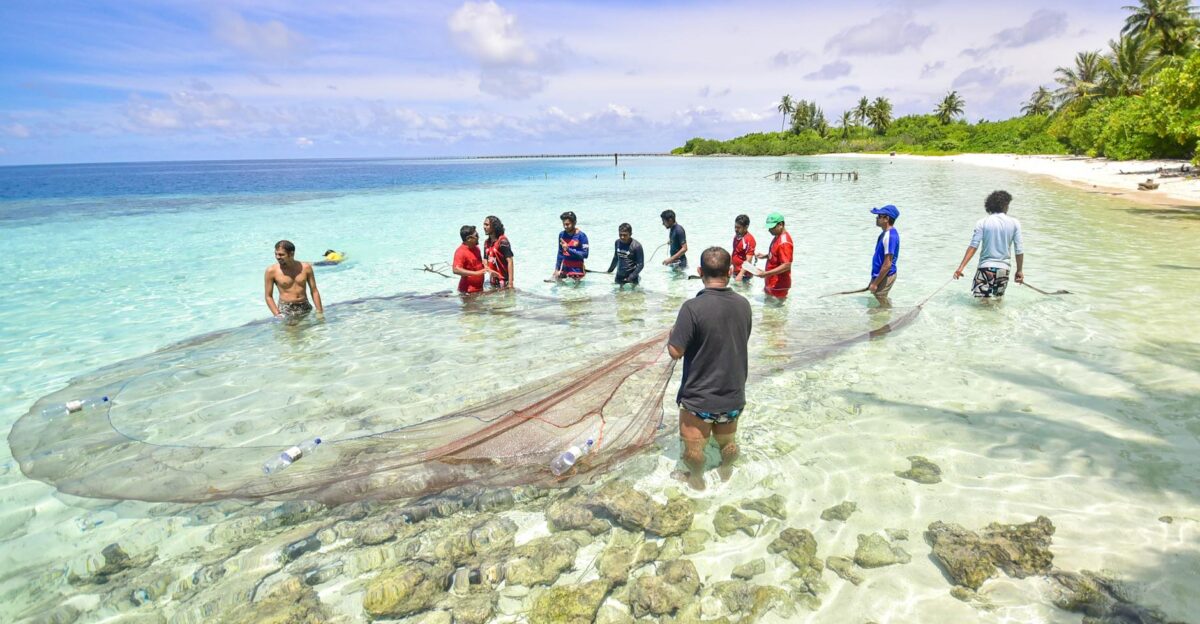
Coastal workers are taking no chances. Gale warnings are up in the eastern Caribbean as Invest 98L churns. Fishermen and dockworkers report sustained winds near 30–40 mph in the watch areas, and rough seas already. Throughout the Windward Islands and beyond, marinas advise relocating boats to protected harbors. Many small charter operators have called off voyages.
Ports from Trinidad and Tobago up through the Bahamas have implemented modified schedules: some commercial cargo ships are being rerouted southward or holding at anchor.
Insurers and Governments Brace for Losses

Caribbean finance offices are dusting off insurance files. Many islands belong to the regional CCRIF (parametric catastrophe insurance pool) which pays out automatically if wind or rain thresholds are met. Hurricane Beryl (2024) triggered record CCRIF payments – over $44 million to Grenada alone – within two weeks.
Officials note that payouts are now almost expected within days of a major event.
Charter Boats and Dive Operators Halt Operations
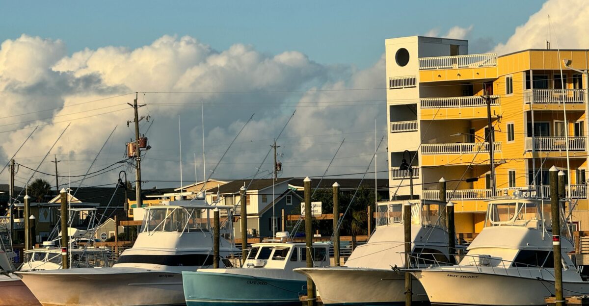
Tourism- and recreation-related marine businesses have paused services. Charter boat captains and dive shop owners along the coast announced suspensions as soon as gale warnings came in. Marinas issued advisories urging all recreational boaters to either secure vessels in place or relocate them to safer ports.
In many bays and anchorages, normally busy with day-trippers, quiet now reigns.
Utilities Stage Crews for Outage Response
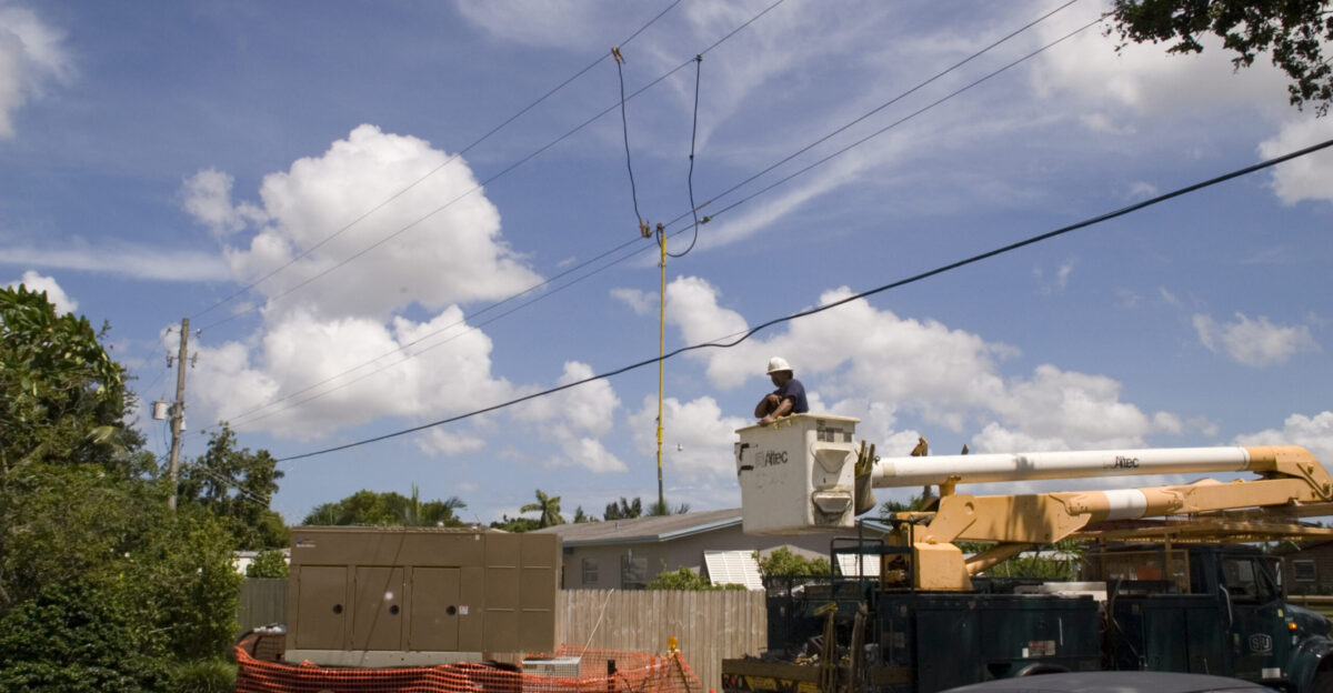
Electric companies across the region have pre-positioned repair crews and generators. Past storms have left thousands in darkness for days. For example, Hurricane Imelda (Sept. 2025) knocked out power to ~1,500 customers on Nassau’s New Providence island and caused widespread outages in Abaco.
Learning from that, utilities in The Bahamas and elsewhere now have mutual aid agreements ready: crews from unaffected islands stand by to fly in and help.
Coral Reefs Brace for Compounding Stress

Caribbean reef ecosystems face a double impact. Even before any storm arrives, reefs have bleached badly. A May 2025 study on Little Cayman found ~80% of corals bleached during the 2023-24 marine heatwave, and ~54% of those corals died.
Invest 98L (Melissa) may bring some relief by mixing cooler deep water, but it will also churn up surf that can break and smother fragile reef structures.
Meteorologists Debate Possible Tracks
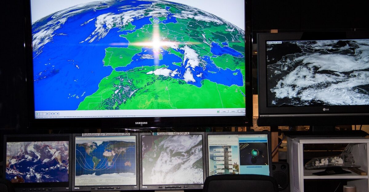
Forecast models remain split on what Invest 98L will do next. One scenario (now favored by more models) has the system organizing into Tropical Storm/Hurricane Melissa and then turning north toward Hispaniola and possibly Florida, driven by a mid-latitude trough. Another scenario has it remaining weak and veering west toward Central America.
Fox Weather’s Bryan Norcross summed up the uncertainty: “The odds that likely-Melissa will turn north have been increasing, so now they are the favored outcome, although not by a lot.”
What Residents and Travelers Should Do Now
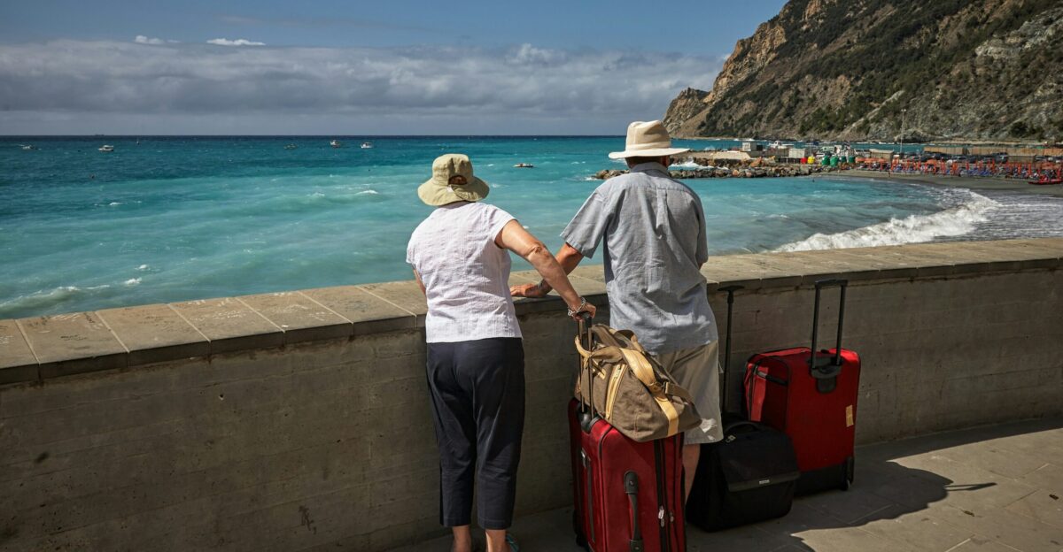
Authorities advise everyone in the storm’s path to finalize preparations immediately. This means monitoring official updates (NHC at nhc.noaa.gov every 6 hours), charging phones, and securing homes. Gather supplies: at least 1 gallon of water per person per day for a week, plus non-perishable food, medicines, flashlights, and batteries.
Take inventory of valuables (photograph serial numbers) for insurance. If in low-lying or flood-prone areas, ready an evacuation plan.
Late-Season Atlantic Activity Expected to Continue

Despite being late October, the Atlantic is far from done. The hurricane season officially runs to Nov. 30. With 12 named storms so far versus a 1991–2020 average of 14 by season’s end, climatologists note we’re on track for an above-normal finish. Recent decades have seen 8 of the 10 most active years since 1950 occur, reflecting a strong upward trend in cyclone activity.
Forecasters caution it’s too early to rule out additional Caribbean or U.S. impacts: “the odds that likely-Melissa will turn north…are increasing”, and climate conditions suggest more late-season tropical development is possible.
A Warming Caribbean Confronts Its New Normal

Invest 98L is playing out against a background of unprecedented warmth. Regional meteorological agencies have documented a long-term climb in Caribbean sea temperatures. For example, 2024’s mean sea temperature was an astonishing 26.8°C – 0.84°C above the 1991–2020 norm – and 2025 is on pace to match those records.
This abnormal warmth, coupled with a multi-year trend of reduced wind shear, creates fertile ground for fast intensification and strong storms.