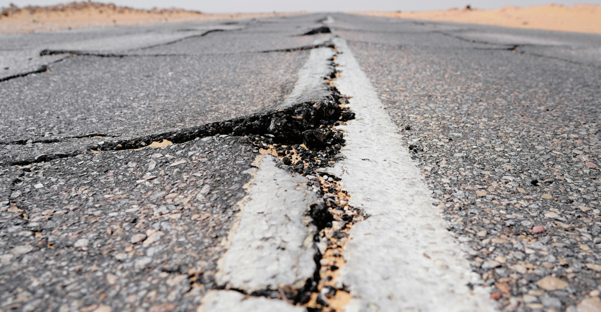
Starting in late January 2025, Santorini island experienced an extraordinary crisis. Scientists recorded approximately 25,000 earthquakes over a single month, an incredible surge of seismic activity that shook homes, frightened residents, and put the entire island on high alert. Some days saw up to 1,000 tremors. The strongest earthquakes reached magnitude 5.0, making this one of the most intense earthquake swarms ever recorded. Despite the chaos, no eruption occurred, but the event revealed something remarkable hidden beneath the island.
An Island That Once Erased a Civilization
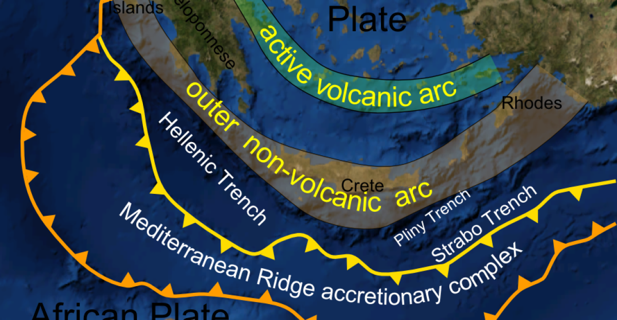
Santorini sits on the Hellenic Volcanic Arc, a ring of volcanoes in the Mediterranean. Around 1,600 BCE, Santorini’s ancient volcano called Thera, erupted so violently it ranks among the most powerful volcanic explosions in human history. This catastrophe devastated the Minoan civilization on nearby Crete and likely inspired legends of lost cities.
That eruption changed history. Today, any unrest beneath Santorini carries echoes of that Bronze Age disaster, making the 2025 earthquakes deeply concerning for residents and scientists alike.
When the Ground Started Roaring
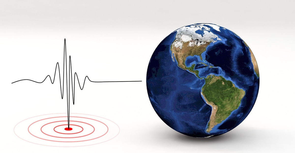
On January 27, 2025, seismic instruments began recording an escalating swarm of earthquakes. Over approximately 30 days, more than 25,000 tremors struck the region. At peak activity, hundreds to roughly 1,000 earthquakes occurred daily, a relentless rumbling that never stopped.
Residents reported constant shaking that disrupted sleep, closed schools, and created an atmosphere of fear and uncertainty. The strongest earthquakes approached magnitude 5.0, strong enough to cause significant damage if building codes weren’t up to standard.
A Tourist Paradise in Crisis
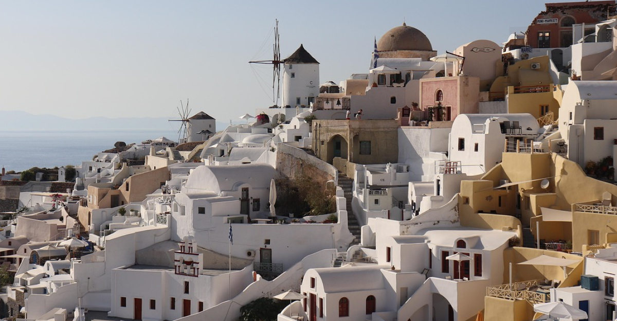
As earthquake numbers climbed into the tens of thousands, Greek authorities faced an urgent decision. They declared a state of emergency for Santorini and nearby islands to protect roughly 15,000 to 20,000 permanent residents plus thousands of winter visitors.
Emergency planners studied evacuation scenarios while civil protection officials tried to reassure frightened residents who feared another catastrophic eruption like ancient Thera. The government closed schools, deployed military resources, and restricted access to dangerous areas along the island’s caldera, the sunken volcanic crater that defines Santorini’s dramatic landscape.
The Mystery Behind 25,000 Quakes
Scientists faced a puzzling question: what caused 25,000 earthquakes in just one month? Were they triggered by tectonic faults, the sliding plates beneath Earth’s crust, or something far more ominous? The earthquake pattern didn’t match a simple fault rupture. Instead, tremors formed complex clusters spreading across the region in strange, interwoven chains.
These unusual patterns hinted at a deeper, hidden force driving the activity. Researchers suspected moving magma, but needed advanced tools to prove their theory and understand exactly what was happening underground.
AI Turns Earthquakes Into Stress Maps

To solve the mystery, researchers from University College London and partner institutions used cutting-edge artificial intelligence to analyze seismic data. Their AI system detected and precisely located all 25,000 individual earthquakes hidden in the raw seismic noise. Scientists then treated each earthquake as a virtual stress meter, a measurement tool revealing how stress changed deep underground.
By combining all 25,000 earthquakes, they created a 4-D map showing forces, fractures, and movement patterns beneath Santorini. This innovative approach turned chaos into clarity, revealing underground structures normally invisible to science.
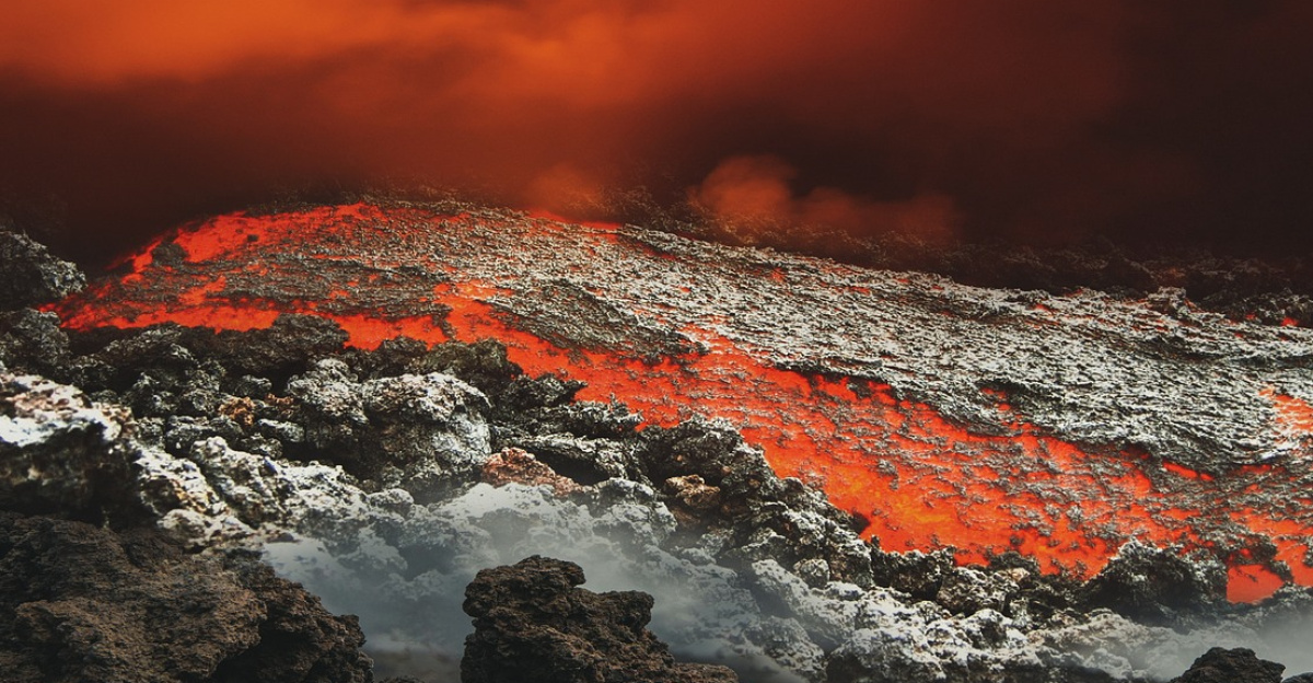
The Largest Magma Lake Under Santorini
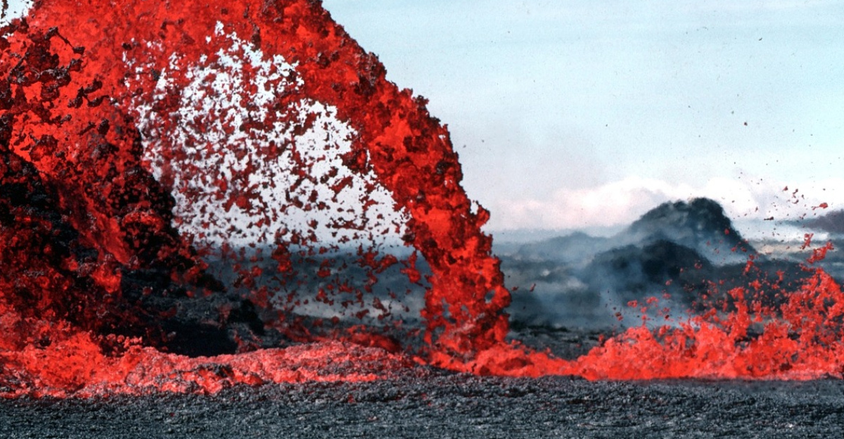
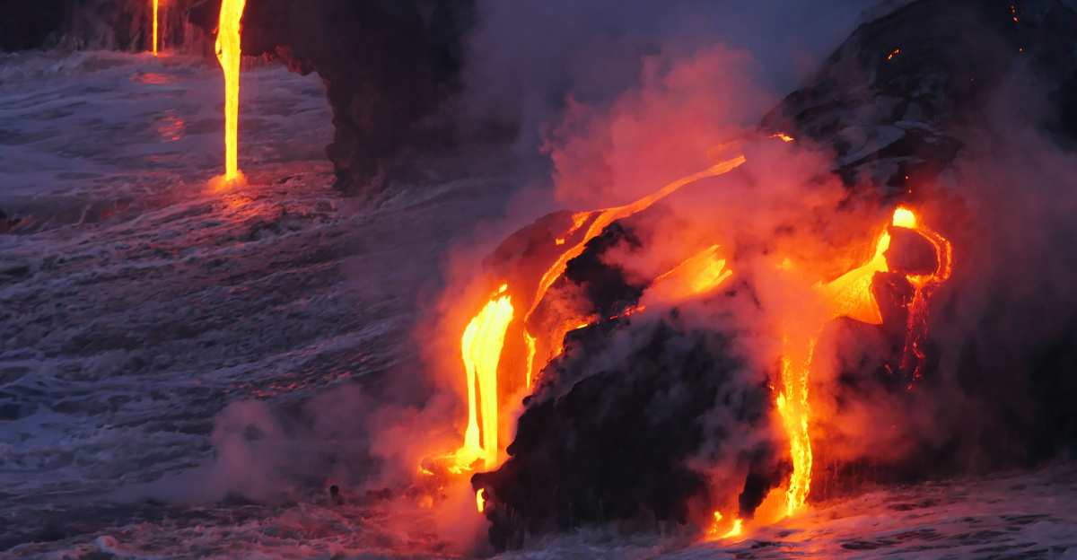
The AI analysis revealed something stunning: a massive underground reservoir of molten rock about ten kilometers beneath the surface. This magma lake, the largest ever mapped beneath Santorini, connects the flooded volcanic crater (caldera) of Santorini to the nearby underwater Kolumbo volcano.
This hidden body stretches tens to over 100 kilometers along the Hellenic Volcanic Arc. Researchers discovered that what scientists previously thought were separate volcanoes actually belong to one integrated magmatic system. Pressure changes in one location can influence the other, fundamentally changing how scientists understand volcanic hazards in the region.
How Magma Traveled Underground
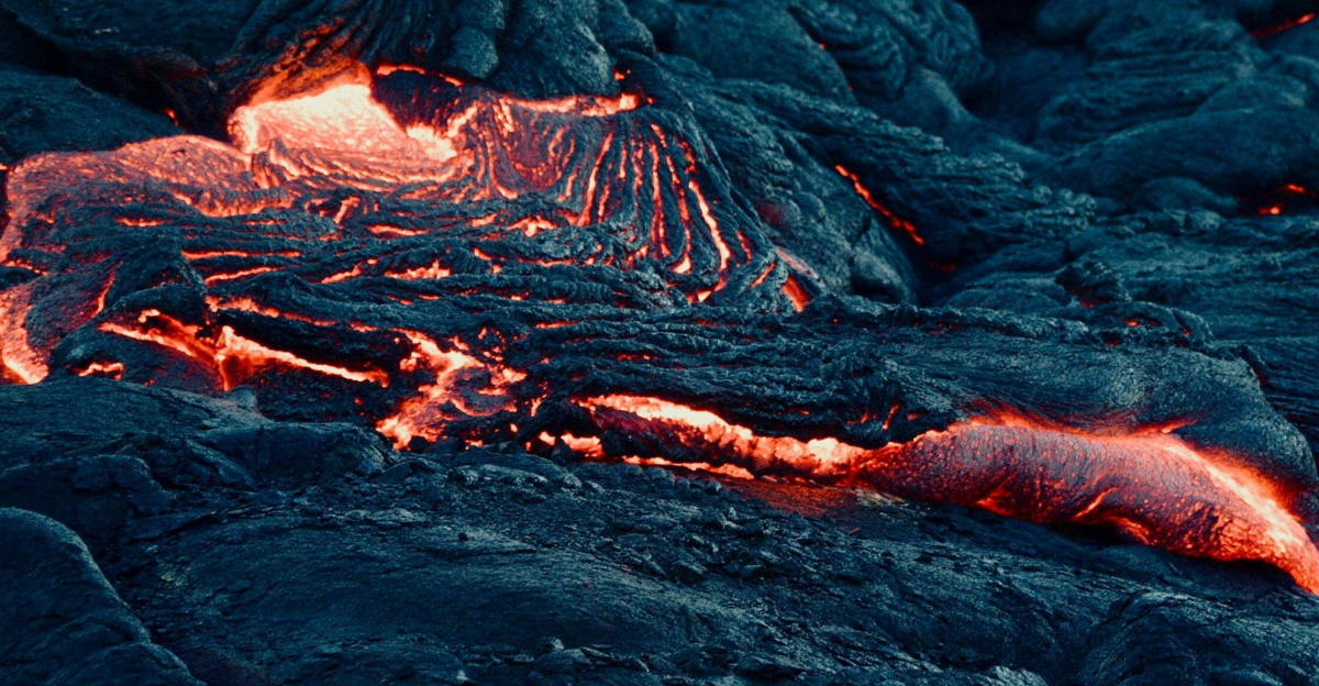
Instead of rising straight upward, the magma moved laterally, traveling sideways through the shared underground reservoir, migrating from deeper regions toward the area beneath Kolumbo and Santorini. Think of it like an underground highway carrying molten rock horizontally instead of vertically.
This finding transformed how scientists think about future eruptions. Rather than being confined to one volcano, pressure changes rippling through this magma highway could trigger eruptions in multiple locations. Future hazard maps must now account for this connected system, complicating predictions for coastal communities across the entire Aegean region.
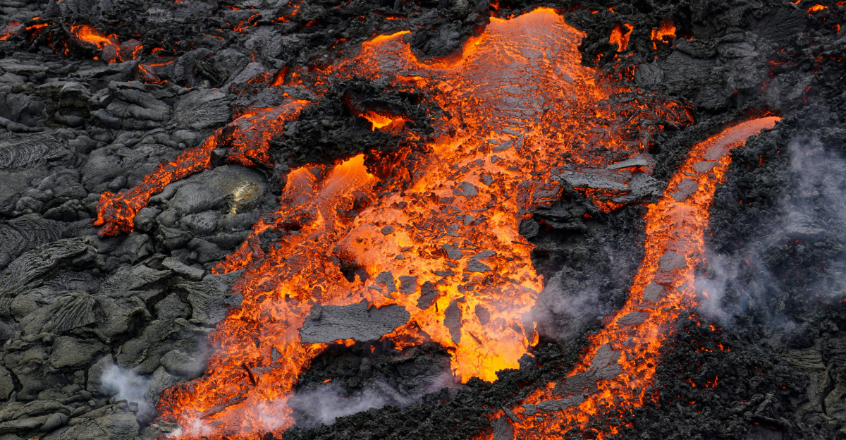
How Magma Sliced Through Rock
Scientists discovered that magma didn’t behave like a bubble rising through water. Instead, it intruded as vertically oriented sheets, imagine a knife scraping sideways through a loaf of bread rather than piercing straight down. These sheets moved through rock layers approximately twenty kilometers thick, creating enormous stress as they opened and closed fractures in the crust.
Each pulse of this slicing action fractured the rock in bursts, with each burst manifesting as thousands of earthquakes. This mechanical process explained the unusual clustering patterns researchers had observed. The earthquakes weren’t random, they represented precise moments when rock failed under extreme pressure.
Magma’s Wave-Like Pumping Motion
Even more remarkable, the magma didn’t move in one smooth, continuous direction. Instead, it rebounded in waves, surging forward, stalling, then even retreating as underground stresses constantly redistributed. This pumping behavior created cascading, dynamic patterns that triggered thousands of earthquakes across the swarm.
Each pulse of the magma’s pumping motion released stress in different ways, generating the complex earthquake sequences scientists observed. This wave-like motion redefined how researchers think about magma transport through continental crust. It explained why the 2025 swarm behaved so differently from simple fault ruptures, revealing sophisticated underground mechanics.
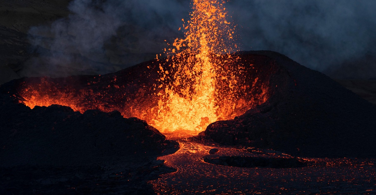
Why 25,000 Quakes Didn’t Erupt
Despite 25,000 earthquakes terrifying residents, the magma never gained sufficient pressure or buoyancy to punch through to the surface. Computer models and ground-deformation measurements revealed that most molten rock remained several kilometers below the seafloor and island surface. The magma was restless and active, but not powerful enough to cause an eruption. Scientists call this unrest rather than an imminent explosion.
The distinction matters enormously, it meant residents faced danger from earthquakes and potential structural damage, but not immediate volcanic catastrophe. This finding provided crucial reassurance while warning that the magma remained a serious long-term concern.
Quiet Returns, But Unease Remains
By early March 2025, the seismic storm that dominated January and February gradually tapered. Earthquake activity fell back toward normal background levels by spring, with only isolated tremors reported by late May. For residents, the calm brought relief but not celebration.
New research confirmed that a substantial volume of restless magma remains parked directly beneath Santorini, one of Earth’s most historically dangerous volcanic regions. The magma didn’t disappear, it simply quieted down. Scientists continue monitoring closely, knowing that unrest can return suddenly and that the system remains fundamentally active and potentially unpredictable.
Learning From Thera’s Ghost
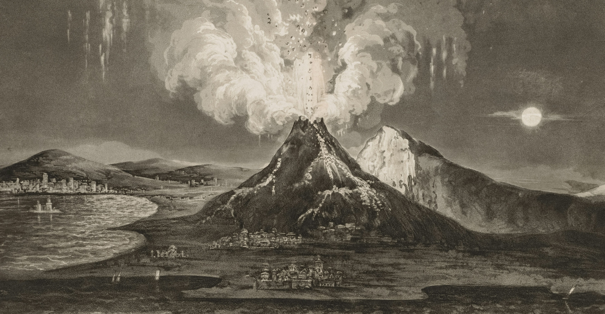
The ancient Thera eruption approximately 3,600 years ago unleashed tsunamis and ash that devastated the Minoan world, leaving a powerful cautionary tale. Understanding that a substantial magma body now connects Santorini and Kolumbo sharpens critical questions about future eruptions. How might a large eruption propagate through this integrated system?
Would both volcanoes erupt simultaneously? What would be the impact on coastal communities across the Aegean? These questions weigh on scientists and emergency planners alike. The 2025 earthquakes provided unprecedented data about this connected magmatic network, allowing researchers to refine hazard assessments and help communities prepare more effectively for potential future crises.
A Universal Blueprint for Underground Magma
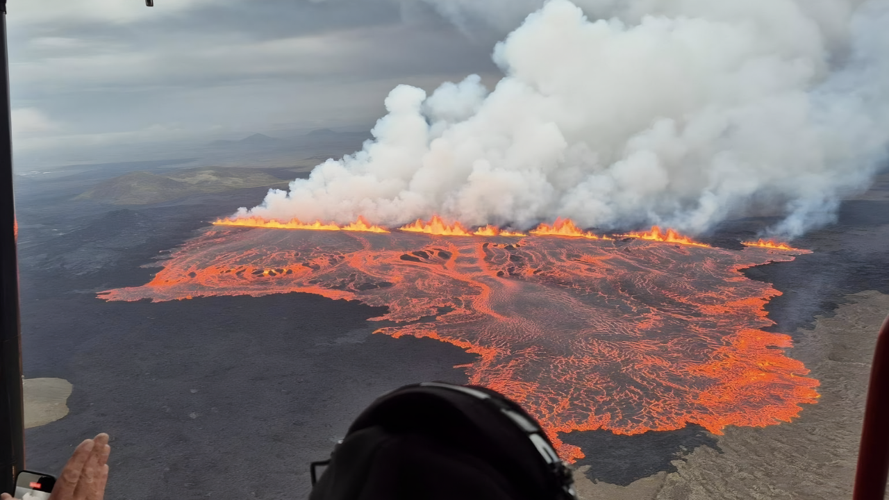
Researchers argue that the rebounding magma sheet intrusion discovered beneath Santorini probably isn’t unique. This mechanism likely represents a fundamental way magma travels beneath volcanoes worldwide. If earthquake swarms elsewhere show similar wave-like signatures, scientists could infer underground magma behavior even where direct imaging is impossible, from Icelandic volcanic rifts to arc volcanoes circling the Pacific Ocean.
Combined with AI-powered real-time detection, this method could help authorities distinguish between harmless fault slip and magma truly heading toward the surface. Such capabilities could refine evacuation decisions for millions living near active volcanoes, potentially saving lives by enabling smarter, faster crisis response when volcanic unrest strikes anywhere on Earth.
Sources:
British Geological Survey – “Artificial intelligence is proving a game changer in tracking the Santorini earthquake swarm” (10 Feb 2025).
Nature – Isken, M.P. et al. “Volcanic crisis reveals coupled magma system at Santorini and Kolumbo” (2025).
GEOMAR / GFZ press release – “Magma displacement triggered tens of thousands of earthquakes” (7 May 2025)