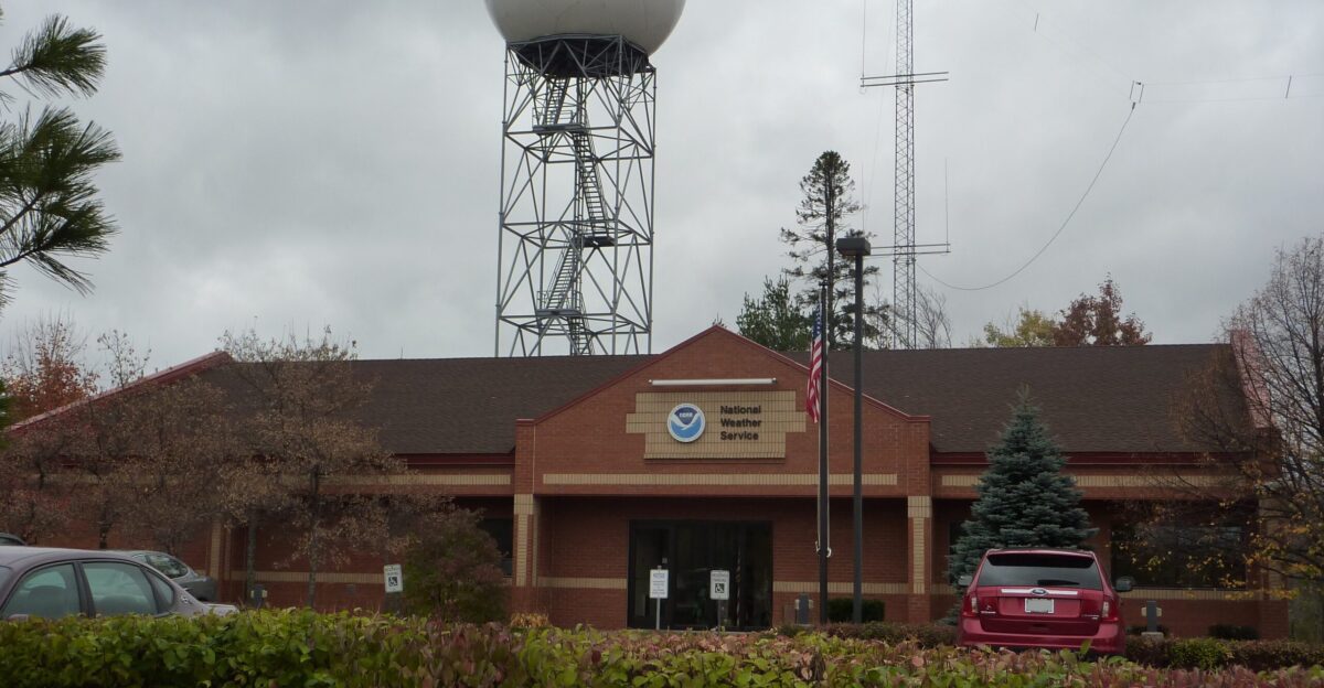
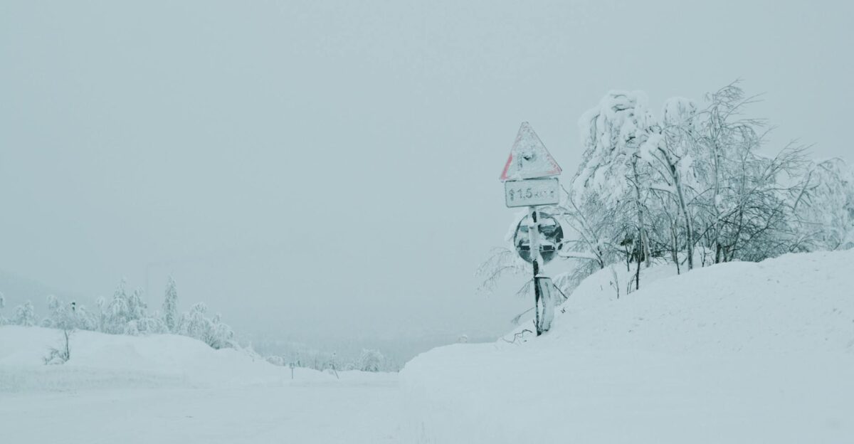
It’s Tuesday afternoon. Families across Michigan’s Upper Peninsula are checking the weather before hitting the road for the Thanksgiving holiday. They see snow in the forecast—nothing new for November. What they don’t see is the horror unfolding on meteorologists’ screens at the National Weather Service Marquette.
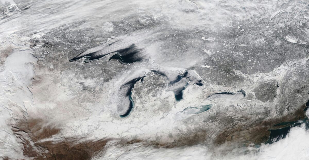
A fast-moving Arctic clipper system is about to collide with Lake Superior’s warmth in a way that happens once or twice a generation. The result: a lake-effect snowstorm so extreme that the NWS is frantically issuing blizzard warnings and begging residents to stop traveling—now.
48 Hours Until Burial—Ironwood Will Vanish Under 4 Feet

By Thursday morning, Ironwood will be buried under 37.3 inches of snow, with the possibility of 48 inches by 7 a.m. Friday, November 28. Four feet in less than 72 hours. According to the NWS Marquette briefing, snowfall rates of 1 to 2 inches per hour are most likely tonight and Wednesday for higher terrain areas west of Republic, especially between Copper Harbor and Ironwood.
This potential 48-inch forecast ranks among the heaviest single-storm totals in recent Michigan history.
Mount Arvon Could See 40 Inches—Remote Communities Face Total Isolation
The Mount Arvon and Craig Lake State Park area southeast of L’Anse could see nearly 40 inches of snow by Friday morning. These remote, elevated areas will face the worst accumulations. With snowfall rates of 1 to 2 inches per hour, combined with 55 mph winds, visibility will drop to near zero almost instantly.
Emergency responders warn that rescue operations will be nearly impossible once the storm reaches peak intensity on Wednesday afternoon through Thursday morning.
The Keweenaw Disappears
The Keweenaw Peninsula is about to be blanketed with up to 23 inches of snow by Friday morning. But it’s not the snow alone—it’s the wind. The National Weather Service issued a blizzard warning from 7 p.m. Tuesday through 7 a.m. Thursday for Keweenaw, Ontonagon, northern Houghton, Baraga, and Gogebic counties, where wind gusts could reach 55 mph along Lake Superior.
According to the NWS, parts of these counties could see 17 to 30 inches of snow, with those extreme winds resulting in near-zero visibility.
Watersmeet, L’Anse, Copper Harbor Face Whiteout Conditions
Watersmeet and L’Anse are bracing for 17 to 23 inches of heavy, wet snow combined with extreme wind. Copper Harbor, perched on Michigan’s northern tip, will face some of the most treacherous conditions anywhere in the state.
Wind gusts will exceed 50 mph consistently throughout Wednesday and Thursday, creating massive drifts that will bury vehicles and block roads entirely.
Northern Lower Peninsula Under Siege
A swath of heavily populated communities stretching from Gaylord to Traverse City, Cadillac, and Charlevoix is anticipated to receive 16 to 17 inches. Winter storm watches are in effect across northern Michigan as lake-effect snow bands form downwind of Lake Superior, continuing their westerly track through Thursday and Friday.
Southern Michigan Escapes—But Travelers Won’t
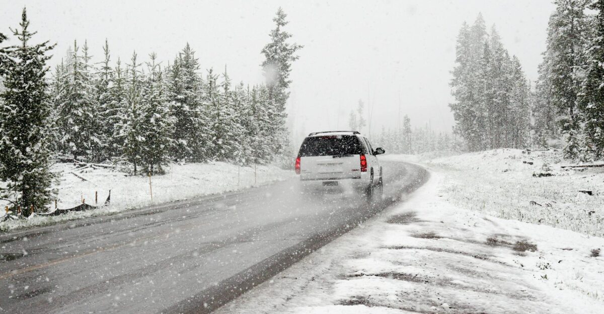
Detroit, Ann Arbor, Grand Rapids, and Lansing receive a reprieve, with only 1 to 2 inches of snow expected. But here’s the terrifying part: travelers returning from Thanksgiving in the south will face hazardous conditions crossing through central Michigan, driving straight into the blizzard zone they didn’t know was coming.
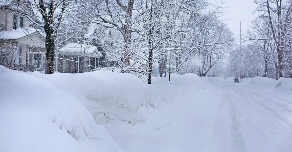
Total Isolation as Roads Go Dark
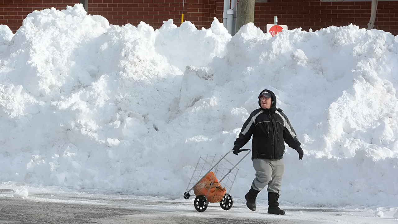
The Upper Peninsula is home to approximately 301,000 residents according to the 2020 Census, and nearly all will experience severe travel restrictions and potential isolation as blizzard conditions grip from Wednesday through Thursday.
The National Weather Service office in Marquette issued a stark warning: “Alter your holiday plans and avoid traveling on Wednesday and Thanksgiving Day,” warning of whiteout conditions and life-threatening driving.
73 Million Holiday Travelers Head Into a Perfect Storm

AAA forecasts that 81.8 million Americans will travel for Thanksgiving, with approximately 73 million traveling by car—nearly 90 percent of all holiday travelers.
Many drivers heading to or from the Upper Peninsula and northern Wisconsin will encounter life-threatening blizzard conditions and potential road closures on Interstate 90, Interstate 95, and state highways throughout the Great Lakes region.
1 to 2 Inches Per Hour, Relentless
The National Weather Service warns that snowfall rates will reach 1 to 2 inches per hour beginning Tuesday night and continuing through Wednesday in the western Upper Peninsula, with the potential for 1 inch per hour during the lake-effect phase on Thursday and Friday.
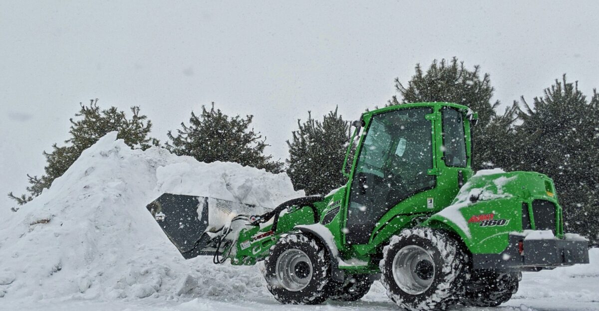
These extreme rates mean roads will become impassable rapidly – faster than snow removal equipment can respond.
Wind Gusts Accelerate to 55 mph
Strong winds of 30 to 40 mph are expected to increase to 45 to 55 mph, particularly in the Keweenaw Peninsula and near Lake Superior shorelines, creating blizzard-level visibility reductions.
According to the NWS Marquette briefing, the combination of heavy snowfall rates and strong winds will result in significant reductions in visibility across western Upper Michigan, with power outages and downed trees possible.
Rare Thundersnow Could Strike
The National Weather Service forecasts thundersnow—lightning and thunder occurring within a snowstorm—as a potential outcome of this extreme lake-effect event. Thundersnow occurs when air at 850 millibars (roughly 5,000 feet altitude) is much colder than the water surface temperature, creating intense atmospheric instability.
Cold Arctic air meeting Lake Superior’s warm waters creates ideal conditions for this rare event within intense snow bands.
15-Foot Waves and Coastal Destruction
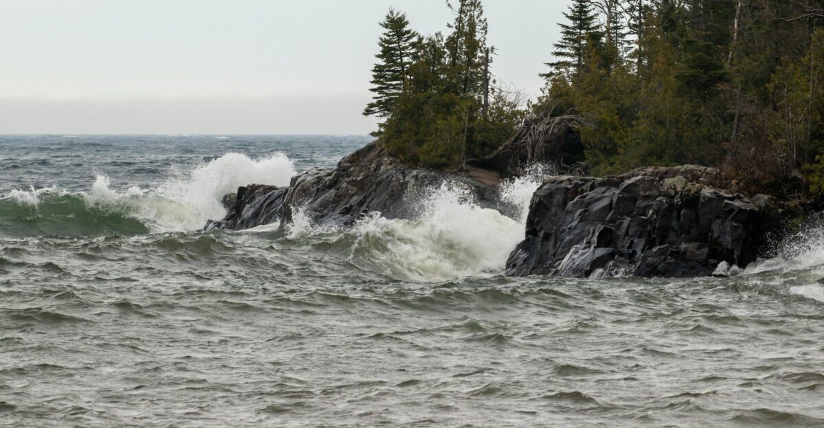
The powerful northwesterly winds driving this storm will generate huge waves on Lake Superior, with significant wave heights expected to reach 15 to 20 feet on western Keweenaw shorelines. These enormous wave heights pose risks of beach erosion and lakeshore flooding, threatening coastal property and infrastructure in communities like Copper Harbor and Eagle Harbor.
The eastern shores of Lake Superior, east of Big Bay, face the highest wave threat on Wednesday near noon through Thursday evening.
Thousands of Homes Face Structural Failure
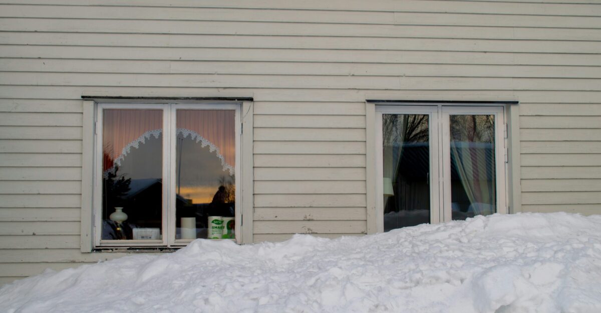
Under the projected 2-foot to 4-foot snow accumulations, thousands of homes in Ironwood, Keweenaw Peninsula communities, and the western Upper Peninsula face potential roof collapse or structural damage. According to roofing experts, one foot of light, dry snow weighs approximately 7-15 pounds per square foot, while heavy, wet snow weighs 20-40 pounds per cubic foot.
Four feet of heavy, compacted snow could easily exceed 100-150 pounds per square foot—a load that may exceed design specifications for older homes.
The Elderly and Vulnerable Face Deadly Risks
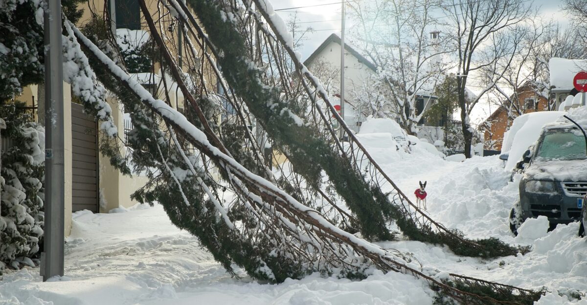
The National Weather Service warns that power outages and downed trees are possible throughout the blizzard zone, particularly in the Keweenaw Peninsula and near Lake Superior, where winds will be the strongest. Heavy snow accumulation combined with 45-55 mph winds will snap tree branches and bring down power lines, leaving residents without electricity in sub-freezing temperatures.
Extended power outages in remote UP communities pose serious health and safety risks, particularly for vulnerable populations and elderly residents who depend on medical equipment.
Complete Travel Today—Or Don’t Travel at All

The National Weather Service issued an urgent advisory: “If possible, complete your Thanksgiving travel and shopping today; venturing out tonight through Thanksgiving could be extremely challenging to impossible at times.” The storm begins with rain transitioning to snow late Tuesday across the western Upper Peninsula.
By Wednesday, strong winds will increase visibility reductions to near-zero levels. The advisory underscores the life-threatening nature of attempting travel during peak event hours.
Black Friday Ghost Towns
The storm’s impacts will persist through Black Friday, November 28, leaving roads frozen, highways impassable, and commerce paralyzed across the Upper Peninsula and northern Lower Peninsula.
Retailers in Marquette, Ironwood, and Houghton face potential closures. The timing with America’s largest shopping day will eliminate significant holiday sales.
A Second Storm Looms Weekend

Lake-effect snow bands will transition from heavy synoptic snow on Tuesday and Wednesday to more focused bands on Thanksgiving and Friday as the system moves through. While accumulation rates will slow on Thursday and Friday, the lake-effect phase will maintain significant snowfall and blustery winds in the northwest wind-snow belt regions of the western UP.
Forecasters indicate a second storm system may impact the region this weekend, potentially bringing additional snow to the Midwest and affecting returning travelers.
A Collision of Rare Atmospheric Conditions
Meteorologists describe this potential 48-inch event as historically significant, potentially ranking among the heaviest single-storm snowfall totals ever recorded in Michigan during the Thanksgiving period.
This lake-effect event represents a collision of rare conditions: a fast-moving clipper system delivering Arctic air, Lake Superior’s residual warmth, extraordinary atmospheric instability, and topographic enhancement over Michigan’s terrain.
Nature’s Perfect Storm
The result is a weather phenomenon that occurs seldom in any decade—a lake-effect snowstorm capable of dumping 3-4 feet of snow in less than 48 hours over a populated region. From Ironwood to the Keweenaw Peninsula and Marquette, residents face one of the most challenging winter weather scenarios in recent memory.
Three hundred thousand Upper Peninsula residents and 73 million Thanksgiving travelers navigate a holiday period suddenly transformed into survival as blizzard conditions bury Michigan under four feet of historic snow.
Sources:
- NWS Marquette November 2025 Thanksgiving winter storm briefing PDF
- NWS Marquette social and web briefings on significant late-November lake-effect snow for western Upper Michigan
- Michigan local coverage of late November 2025 Upper Peninsula winter storm watches and snowfall projections
- National and regional reports on early-season Great Lakes lake-effect events in November 2025
- U.S. Census 2020 population data for Michigan’s Upper Peninsula (approx. 301,000 residents)
- Michigan workforce/planning report confirming Upper Peninsula population around 301,400
- AAA 2025 Thanksgiving Travel Forecast (81.8 million travelers, about 73 million by car, ~90% by road) – AAA newsroom and derivative coverage