Antarctica’s Hektoria Glacier has experienced the fastest retreat ever recorded in modern history, shrinking by nearly 50% in just two months.
The glacier, almost twice the size of Washington D.C., lost 8.2 kilometers (5 miles) during November-December 2022, collapsing at speeds up to ten times faster than any previous glacier retreat observed by scientists worldwide.
Understanding the Scale
The Hektoria Glacier covers approximately 115 square miles, making it almost twice the size of Washington D.C., which spans 68 square miles. While considered small by Antarctic standards, the glacier’s dramatic transformation represents a critical warning signal.
Between January 2022 and March 2023, Hektoria retreated a total of 25 kilometers (15.5 miles), losing nearly half its total length.
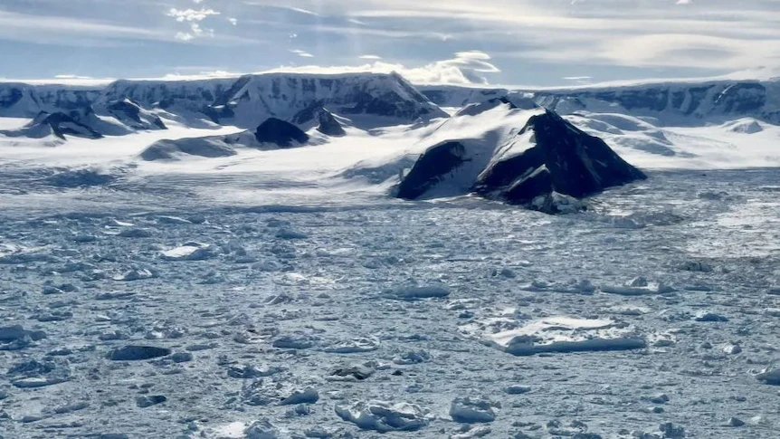
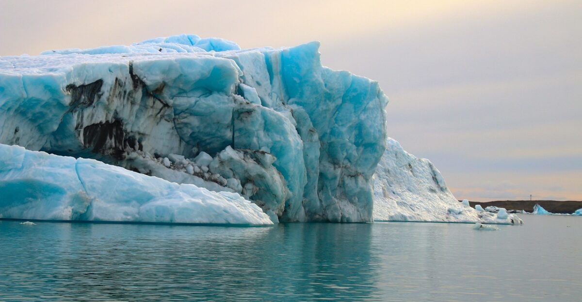
Where Is Hektoria Glacier?
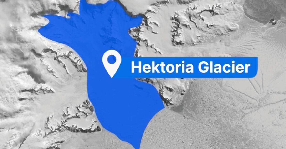
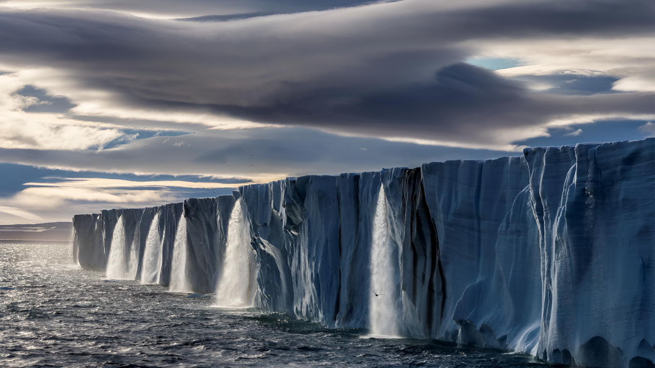
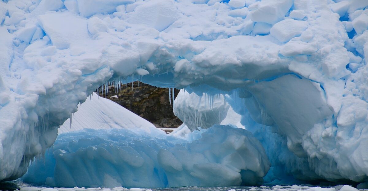
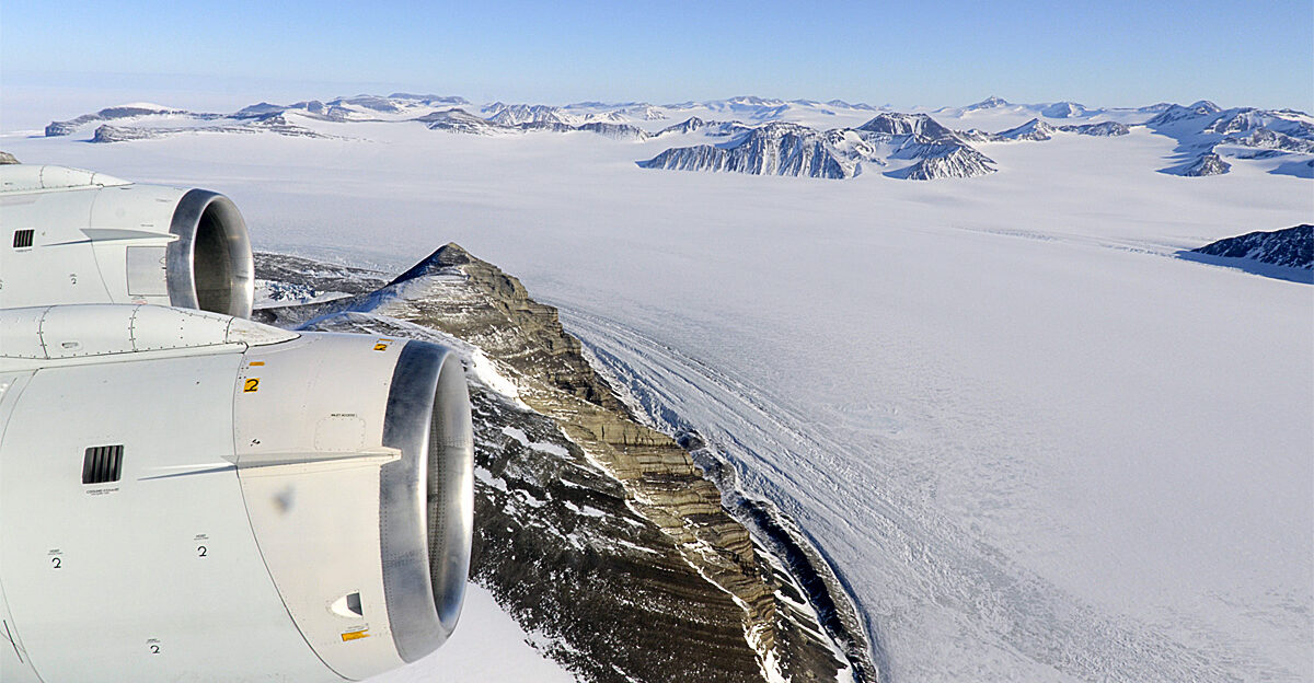
Located on the eastern Antarctic Peninsula, Hektoria Glacier sits in one of Earth’s most rapidly warming regions. The Antarctic Peninsula has experienced temperature increases of 3°C over the past 50 years—five times the global average warming rate.
This makes Peninsula glaciers like Hektoria vital indicators of climate change impacts, serving as early warning systems for global ice loss.
The Timeline of Disaster
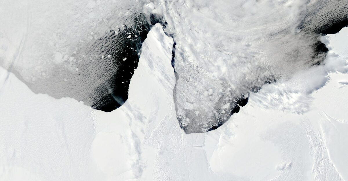
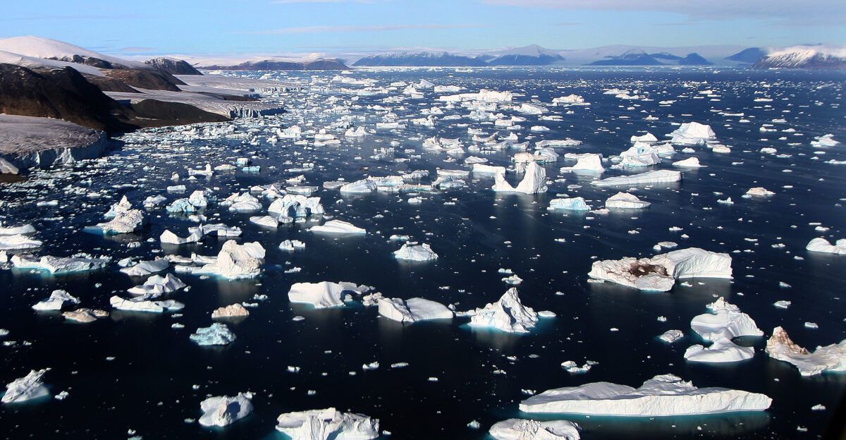
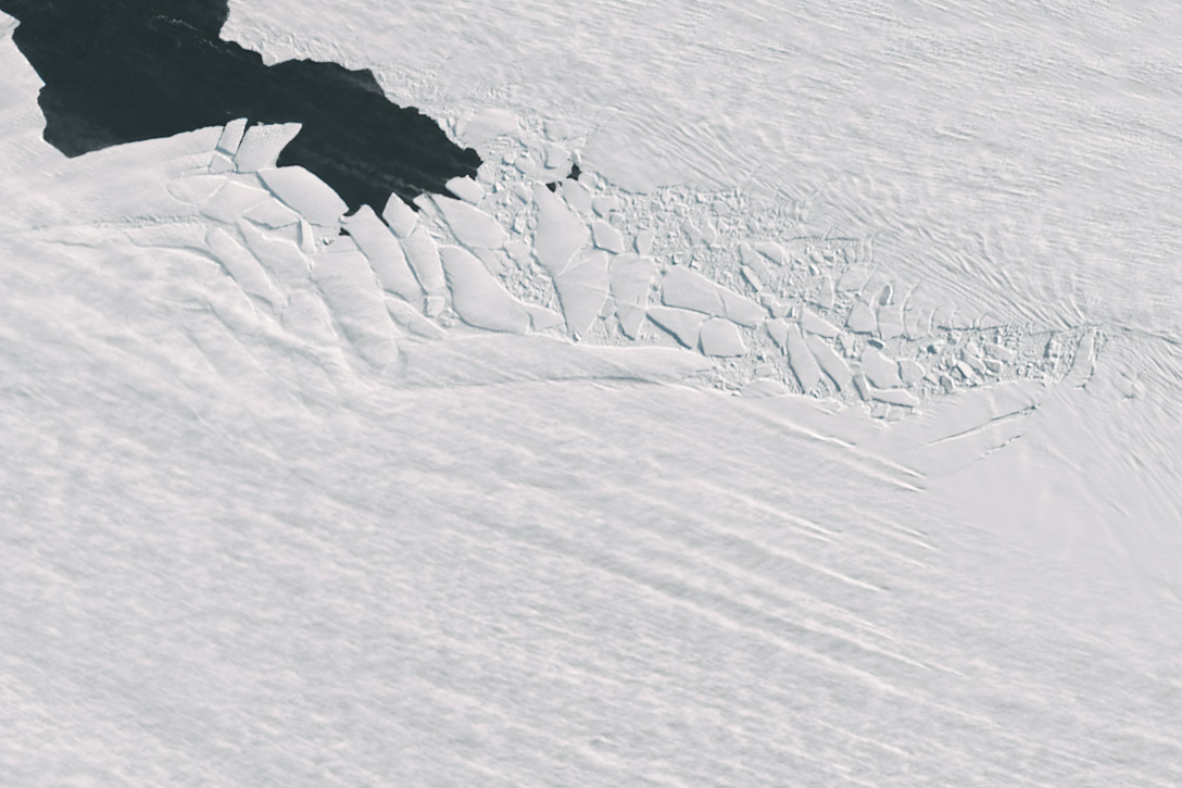
The collapse began in early 2022 when a massive expanse of sea ice broke away from the glacier’s front. This triggered the disintegration of Hektoria’s floating ice tongue, removing crucial stabilizing support.
The glacier then entered a period of unprecedented retreat, with the most dramatic changes occurring over just 60 days in late 2022.
Peak Collapse Speed
At its peak, Hektoria was retreating at an astonishing 800 meters (2,625 feet) per day, averaging 134 meters (440 feet) daily throughout November and December 2022.
This retreat rate represents nearly ten times faster than the previous record for Antarctic glacier collapse. Scientists describe the speed as barely seeming possible for a natural geological process.
What Triggered the Collapse
The disaster began when Hektoria lost the protective sea ice that had stabilized its front edge. Without this buttressing effect, the glacier faced new stresses that accelerated its flow and thinning rates.
The loss of the floating ice tongue exposed the glacier’s vulnerable trunk to destabilizing forces, setting off a chain reaction of rapid disintegration.
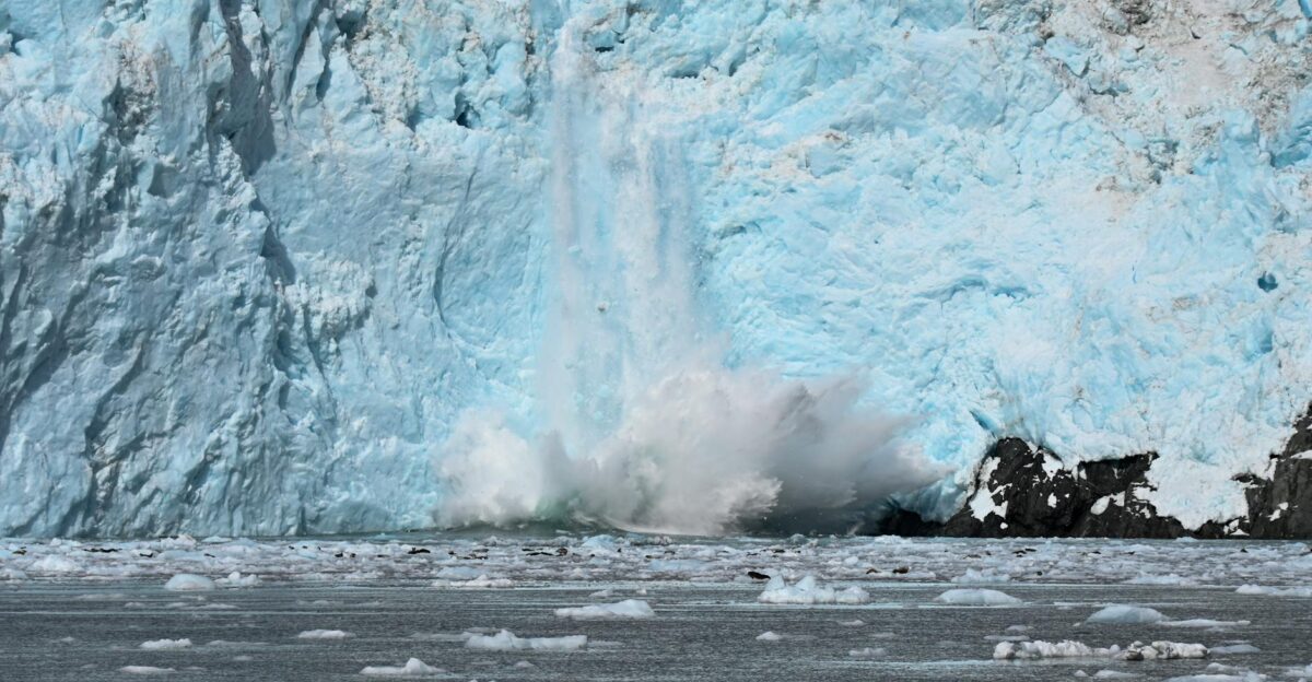
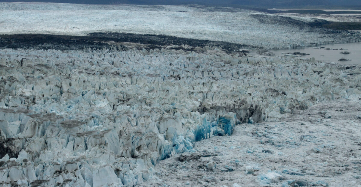
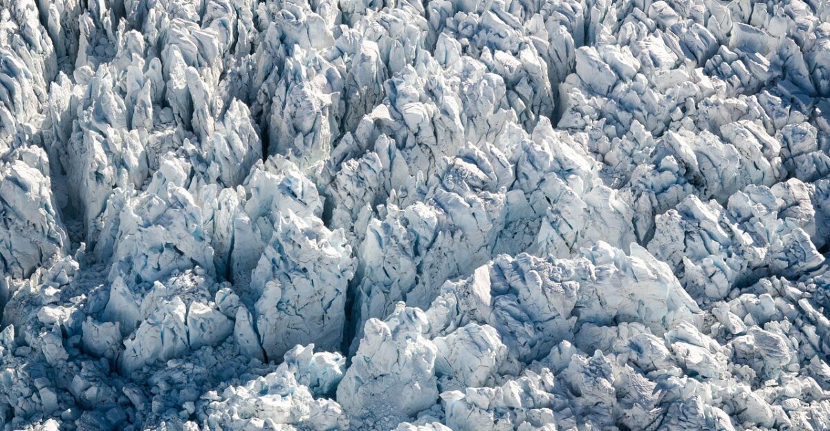
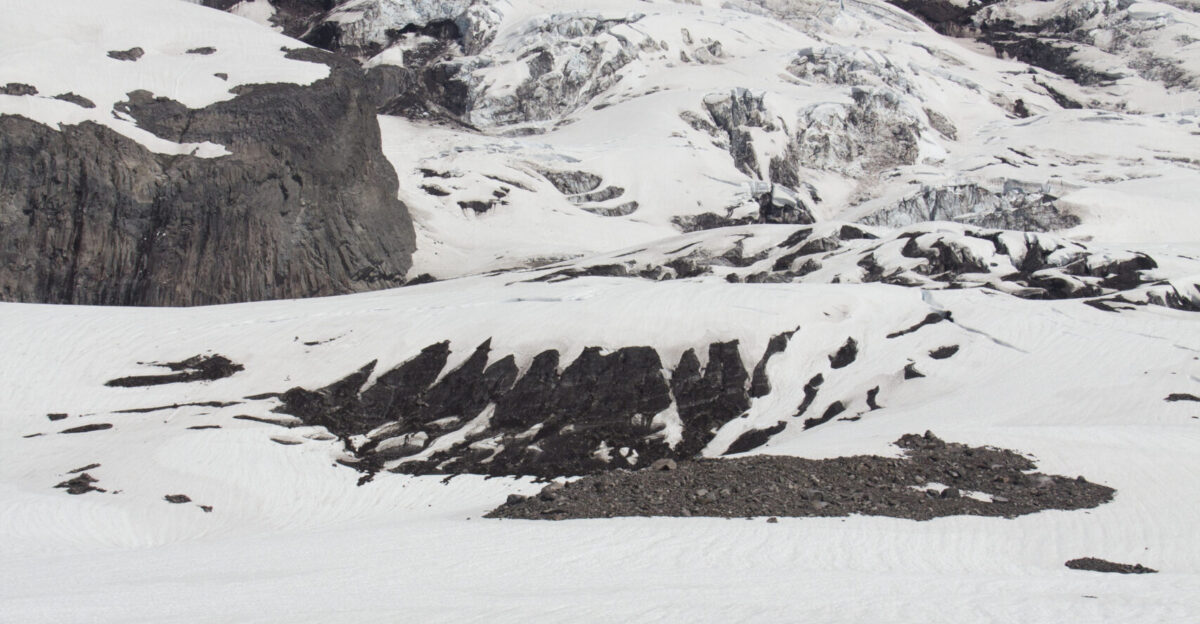
Ice Plain Calving Explained
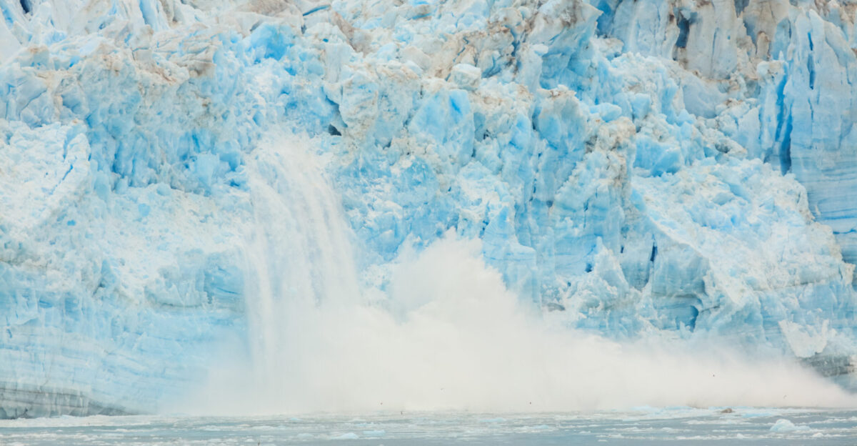
The collapse resulted from a process called “ice plain calving,” where ice breaks away from flat, weakly grounded glacier sections. As Hektoria’s trunk thinned over flat bedrock, it became barely grounded on the seabed.
This entire section became buoyant almost immediately, with tidal forces detaching massive icebergs in a process scientists had never observed at this scale.
Not Caused by Warming Alone
Surprisingly, researchers determined this rapid collapse didn’t result from direct ocean or atmospheric temperature increases, as typically expected. Instead, the physical structure and grounding of the glacier played the critical role.
This discovery challenges previous assumptions about glacial stability and reveals that structural vulnerabilities may be more dangerous than previously understood.
Glacial Earthquakes Detected
During the retreat, seismic sensors recorded clusters of small earthquakes caused by grounding ice grinding and failing as icebergs broke away. These “glacial earthquakes” provided real-time evidence of the massive forces involved in the collapse.
The seismic activity helped scientists understand the violent nature of the ice plain calving process happening beneath the glacier.
The Research Team
Dr. Naomi Ochwat from the University of Colorado Boulder led the groundbreaking study, published in Nature Geoscience on November 3, 2025. Ochwat, who specializes in Antarctic tidewater glacier instabilities, used satellite imagery and remote sensing to document the collapse.
The team’s research raises a critical question: Was this a one-time storm of factors or a recipe for disaster elsewhere?
Other Glaciers at Risk
The mechanisms behind Hektoria’s collapse could pose risks to other Antarctic glaciers resting on similar flat ice plains. Scientists warn that glaciers with comparable geological conditions may be significantly more vulnerable to sudden collapse than previously understood.
This discovery requires revised assessment methods for predicting glacial behavior and identifying which glaciers should be prioritized for close monitoring.
Antarctic Peninsula’s Warming Crisis
The Antarctic Peninsula has experienced some of Earth’s steepest temperature increases for decades, with warming nearly five times the global average. Over the past 50 years, the west coast has been one of the planet’s most rapidly warming regions.
This warming extends beyond land into the Southern Ocean, where upper ocean temperatures west of the Peninsula have increased over 1°C since 1955.
West Antarctic Ice Sheet Concerns
The West Antarctic Ice Sheet, drained by massive glaciers into the Amundsen Sea, is considered Earth’s most vulnerable major ice sheet.
Unlike the more stable East Antarctic Ice Sheet, West Antarctica rests largely below sea level, making it inherently unstable. Scientists worry that Hektoria’s collapse mechanism could manifest in these much larger glaciers with catastrophic global consequences.
Thwaites and Pine Island Glaciers
The Thwaites Glacier, known as the “Doomsday Glacier,” and Pine Island Glacier represent the greatest concerns. Pine Island is responsible for about 13% of Antarctica’s ice loss, while Thwaites contributes 4% to global sea level rise.
If Hektoria’s collapse mechanism affects these giants, their accelerated melting could dramatically increase sea level rise beyond current projections.
Sea Level Rise Implications
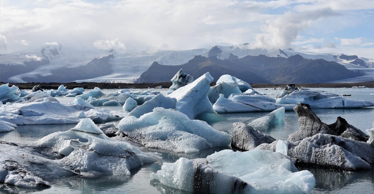
While Hektoria’s small size means minimal direct impact on sea levels, the collapse mechanism’s implications are enormous. Antarctica contains enough ice to raise global sea levels by 58 meters if completely melted.
The West Antarctic Ice Sheet alone could contribute 6-40 meters depending on emission scenarios. Rapid collapses accelerate these projections beyond current estimates.
Global Coastal Vulnerability
Rising sea levels threaten coastal communities worldwide, from small island nations to major cities. Hundreds of millions of people live in low-lying coastal areas vulnerable to flooding and permanent inundation.
Beyond human displacement, sea level rise increases costs for coastal protection infrastructure, damages ecosystems like mangroves and wetlands, and threatens global economic stability.
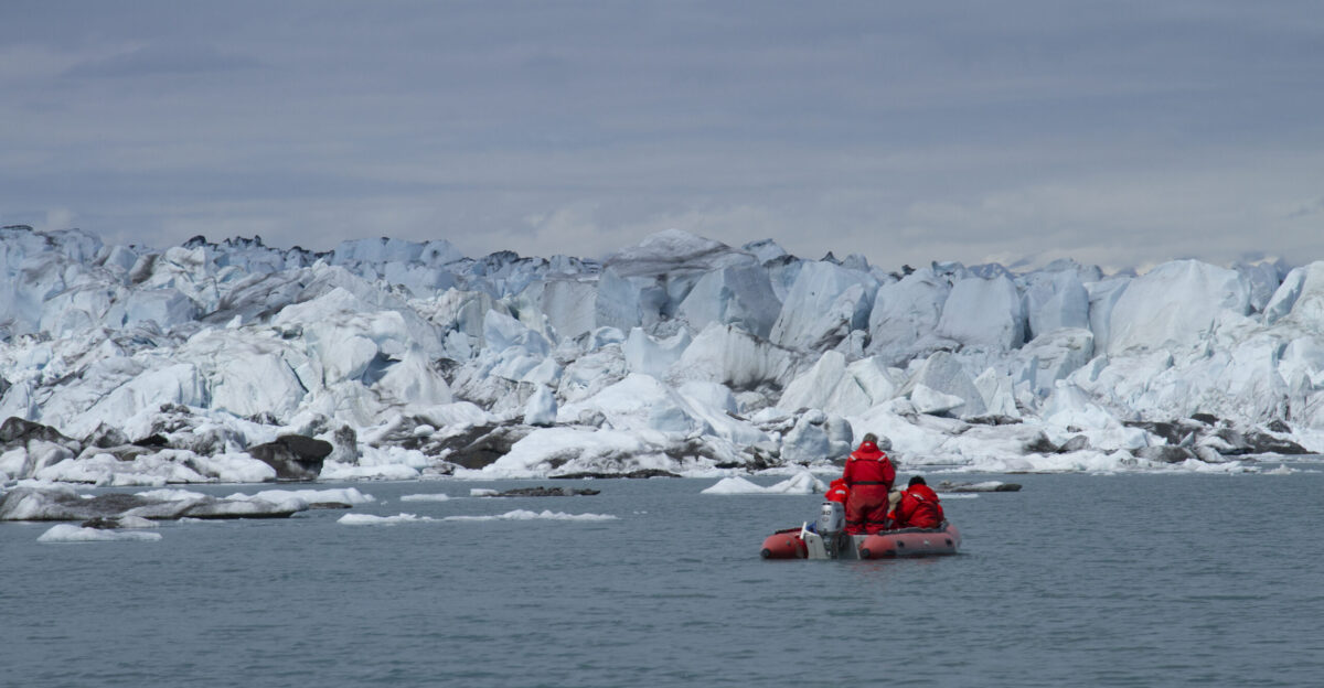
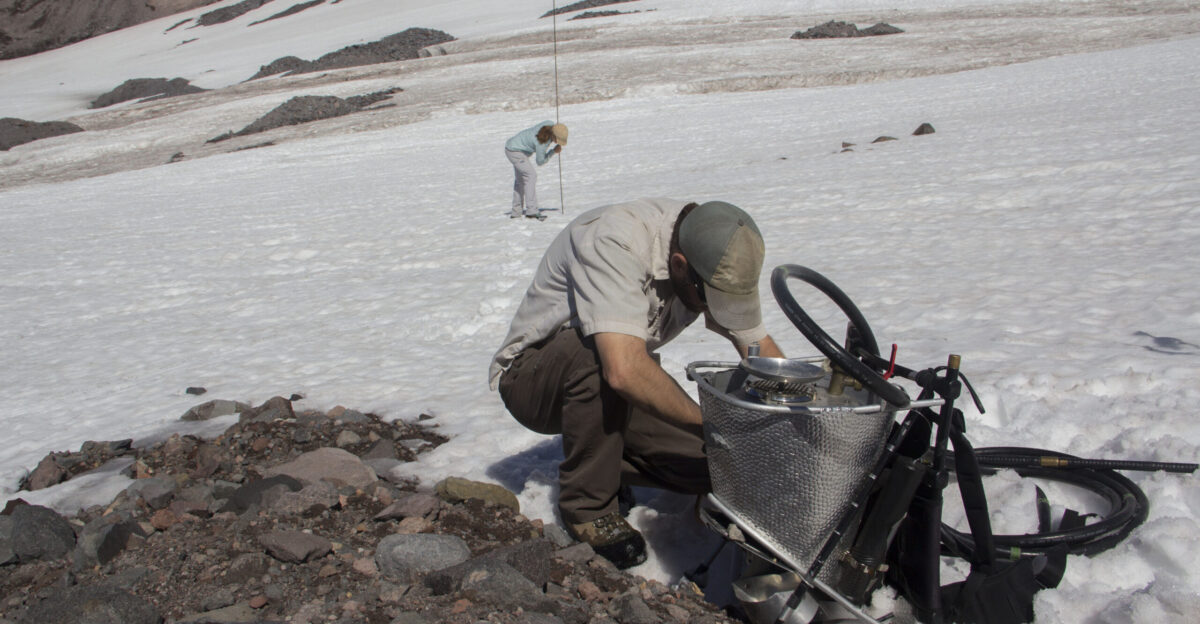
Advanced Monitoring Technology
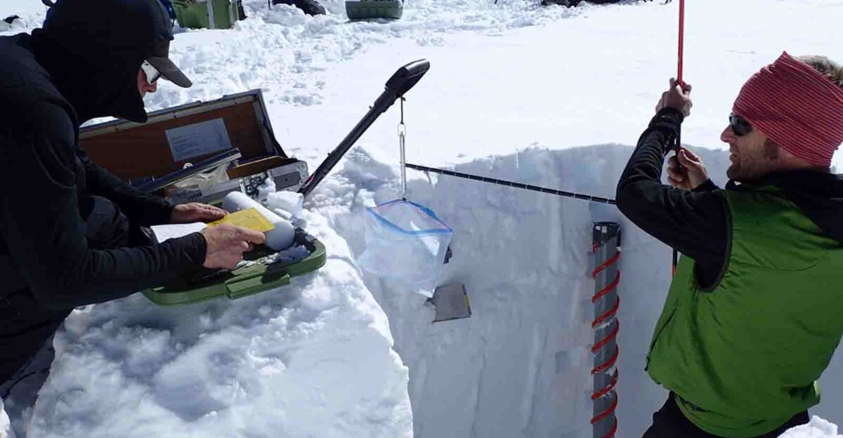
Scientists rely on sophisticated satellite imagery and remote sensing to monitor Antarctica’s remote glaciers. NASA, the European Space Agency, and research institutions use optical and radar sensors to track glacier retreat, ice flow velocities, and surface changes.
Radar interferometry can detect subsurface movement and penetrate cloud cover, providing continuous monitoring of Earth’s most inaccessible regions.
What Scientists Are Saying
Researchers emphasize this discovery as a turning point in understanding glacier stability. “This is a recipe for disaster elsewhere,” warns the study team. Climate scientist Simon Clark called October 2025 “the worst month of climate news” in his career, with November continuing the alarming trend.
Scientists stress the urgent need to identify vulnerable glaciers and update climate models accordingly.
Future Predictions and Uncertainties
Current climate models may be missing key complexity needed to accurately predict Antarctic ice dynamics and mass loss. The Hektoria collapse reveals vulnerabilities scientists didn’t fully understand, potentially making existing sea level rise projections too conservative.
Researchers are working to incorporate these new findings into updated models to better prepare coastal communities for accelerating changes ahead.
Why This Matters Now
Hektoria’s collapse demonstrates that Antarctica’s ice can disappear far faster than previously thought possible. This isn’t just about one small glacier—it’s a warning that our understanding of ice sheet stability may be fundamentally incomplete.
As the climate continues warming, identifying and monitoring vulnerable glaciers becomes critical for protecting billions of people living in coastal regions worldwide.