
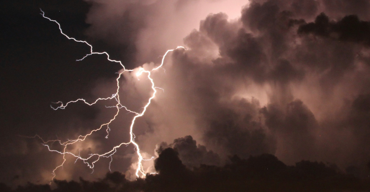
Meteorologists are eyeing a cluster of thunderstorms off Mexico’s Pacific coast that could produce the first-ever tropical system in the Eastern Pacific during January, shattering 170 years of records.
This disturbance carries approximately a 10 percent chance of organizing into at least a subtropical storm by Sunday or Monday, according to forecasters monitoring the system. The Eastern Pacific hurricane season ended November 30, yet unusual atmospheric conditions have opened a fleeting opportunity for development.
The Impossible Weekend Window
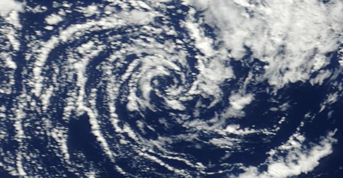
A vigorous upper-level trough—a southward dip in the jet stream—is injecting rotational energy into scattered thunderstorms. Low wind shear and a pocket of warmer-than-normal ocean water are aiding organization, though forecasters expect the system to either strengthen rapidly this weekend or weaken in encroaching cold waters by early next week. Models from the National Weather Service and European forecasters show some potential for spin-up, but uncertainty keeps odds low.
Why This Matters: A Historical First
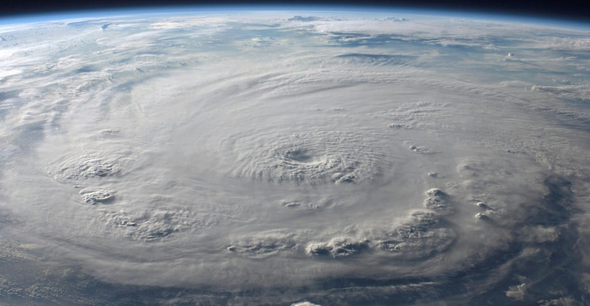
No tropical or subtropical system has formed in the Eastern Pacific in January within modern records. The region typically lies dormant in winter, unlike the Central Pacific, which saw Hurricane Ekeka in 1992 and Hurricane Pali in 2016. The Atlantic has logged a few January storms, such as Hurricane Alex in 2016, but an Eastern Pacific event would stand alone in rarity. The earliest prior Eastern Pacific tropical depression emerged April 25, 2020.
What Forecasters Are Watching
Experts are tracking ocean temperatures, which usually linger in the mid-60s Fahrenheit off Mexico—far below the 79 degrees needed for tropical storms. This year, a localized warm anomaly offers slim potential, but colder waters will soon dominate. AccuWeather meteorologists have described the development window as limited, while experts note the challenging conditions given the seasonal chill.
The Ocean Temperature Paradox
Subtropical storms, if they form, thrive in cooler waters by harnessing energy from air mass contrasts rather than ocean heat alone. They feature sustained winds of 39 to 73 miles per hour, akin to tropical storms, but emerge via different dynamics suited to winter. Development, if it occurs, would unfold in 24 to 36 hours amid every-six-hour model updates, with the trough departing by Monday.
Expected Impact: Low Threat to Land
Forecasters emphasize negligible risk to land. Mexico’s Pacific coast falls under monitoring, but cold water should cap growth, leading to quick dissipation. California faces no impact. The system, if named, would drift west or northwest over open ocean, fading by midweek. Human safety and infrastructure remain unaffected; the stakes lie in meteorological history.
This 48-hour window highlights how rare alignments of troughs, shear, and water pockets can tease the improbable. Whether it forms or fizzles, the event draws global scrutiny from scientists, affirming winter’s unpredictability and the value of vigilant tracking. Mexico’s residents should stay informed via official updates, as any change would prompt swift alerts.
Sources: “Unprecedented January tropical disturbance possible in Eastern Pacific for first time in recorded history” — FOX Weather
“Unprecedented January tropical disturbance possible in Eastern Pacific for first time in recorded history” — AOL News/FOX Weather syndication
“‘Extremely Rare’ Storm Could Form This Weekend” — Newsweek