Death Valley, the driest place in North America, encountered another unusual weather event last week, adding to a trend of increased flooding.
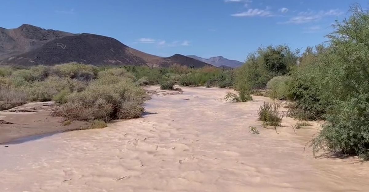
Following significant floods in 2022 and 2023, the park received 0.6 inches of rain in one day—about 25% of its annual average. This sudden rainfall from Tropical Storm Mario’s remnants triggered flash floods, surprising both visitors and officials.
Significant Flooding
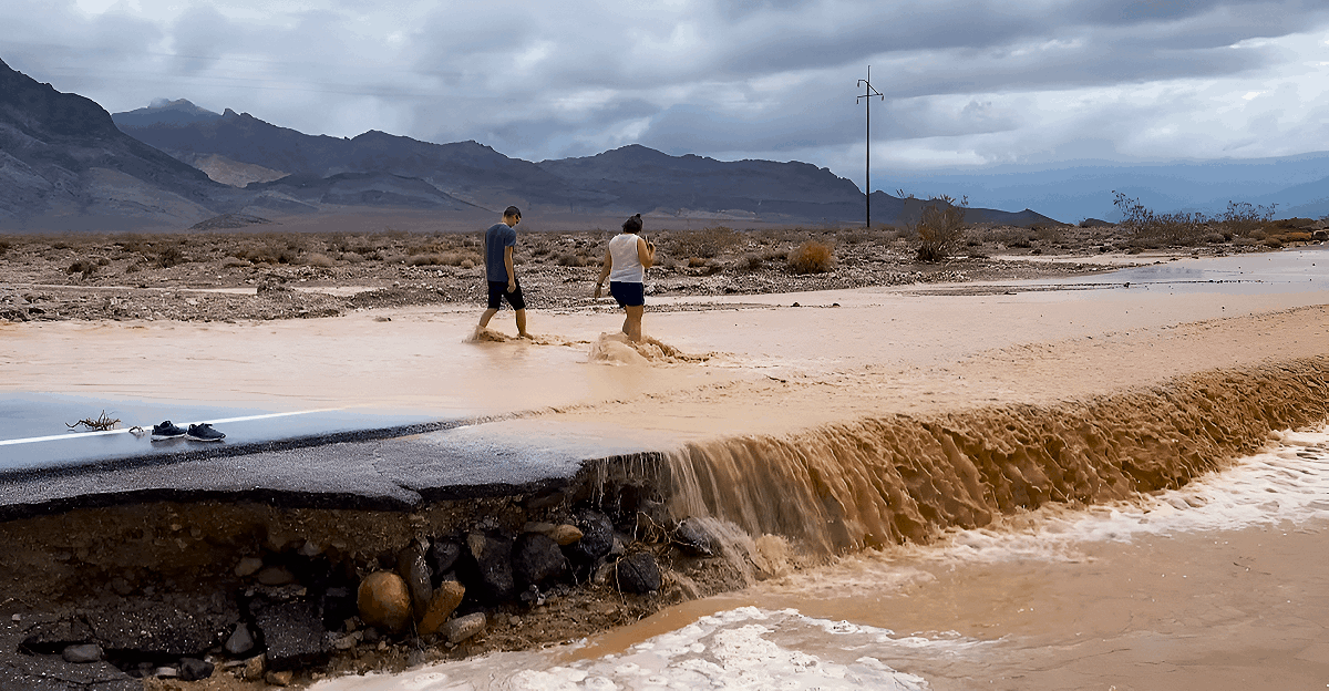
Park officials have reported significant damage throughout the park due to flooding, leading to submerged roads and hazardous travel conditions.
This incident underscores the region’s susceptibility to extreme weather events, as it reflects a concerning trend of three major flooding occurrences within the last four years.
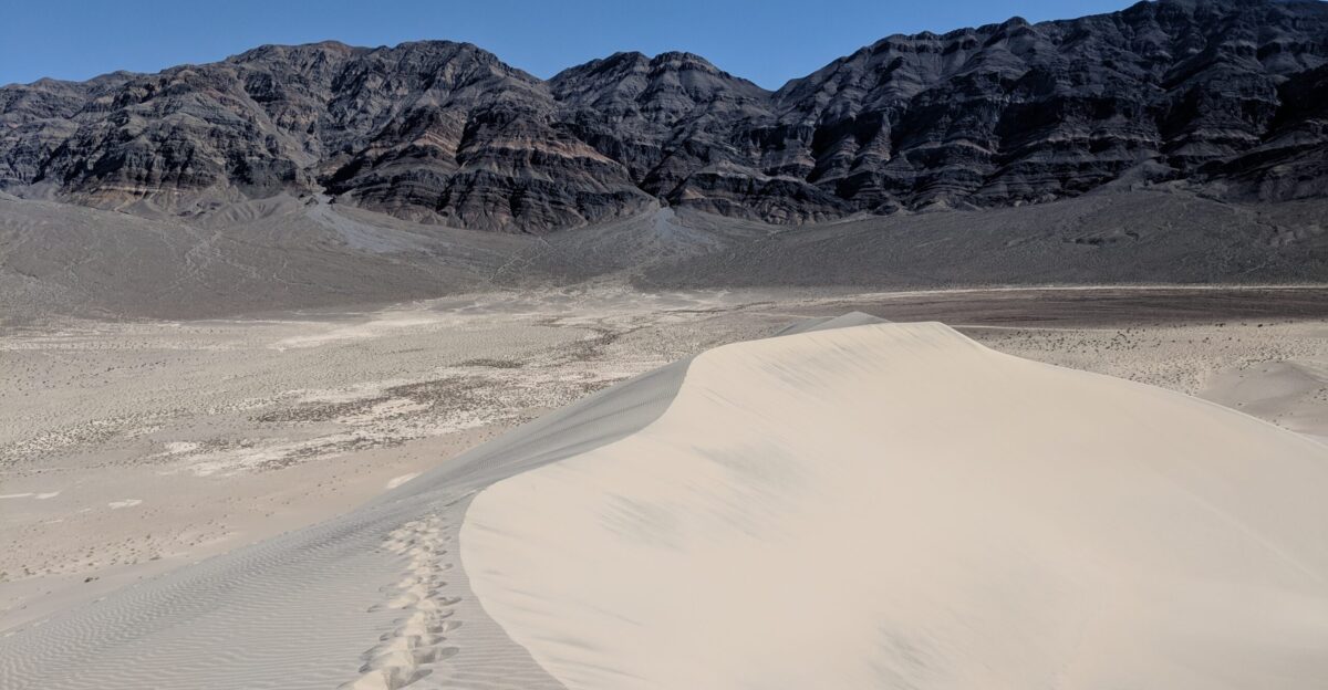
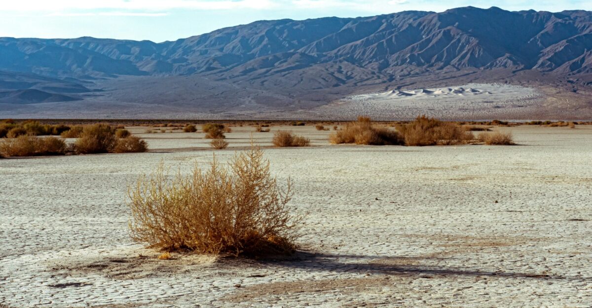
Death Valley’s Extreme Profile

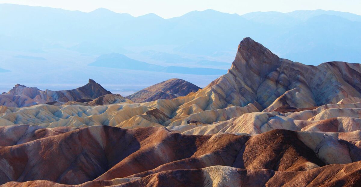
Death Valley is known for several remarkable records. It has the highest recorded air temperature in the world, reaching 134°F in 1913. Additionally, it is the lowest point in North America, situated 282 feet below sea level.
The area is also recognized as the driest place in the United States, averaging less than 2.4 inches of rainfall each year. This unique geography creates a natural basin where water cannot easily disperse, contributing to its extreme climate conditions.
Recent Extreme Weather Timeline
Death Valley has faced a rise in extreme weather events in recent years. Hurricane Hilary in 2023 brought a record 2.2 inches of rain, while 2022 experienced a “1000-year” flooding event with 1.70 inches of rainfall.
As Superintendent Mike Reynolds noted, “Death Valley is an incredible place of extremes. It is the hottest place in the world and the driest place in North America.”
Tropical Storm Mario’s Impact

On September 18, 2025, Tropical Storm Mario formed in the Eastern Pacific and moved north along Mexico’s coast.
Its remnants then reached Southern California, where moisture-laden clouds encountered the mountains of Death Valley, resulting in heavy rainfall over the desert basin.
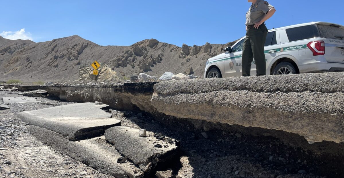
Infrastructure Devastation
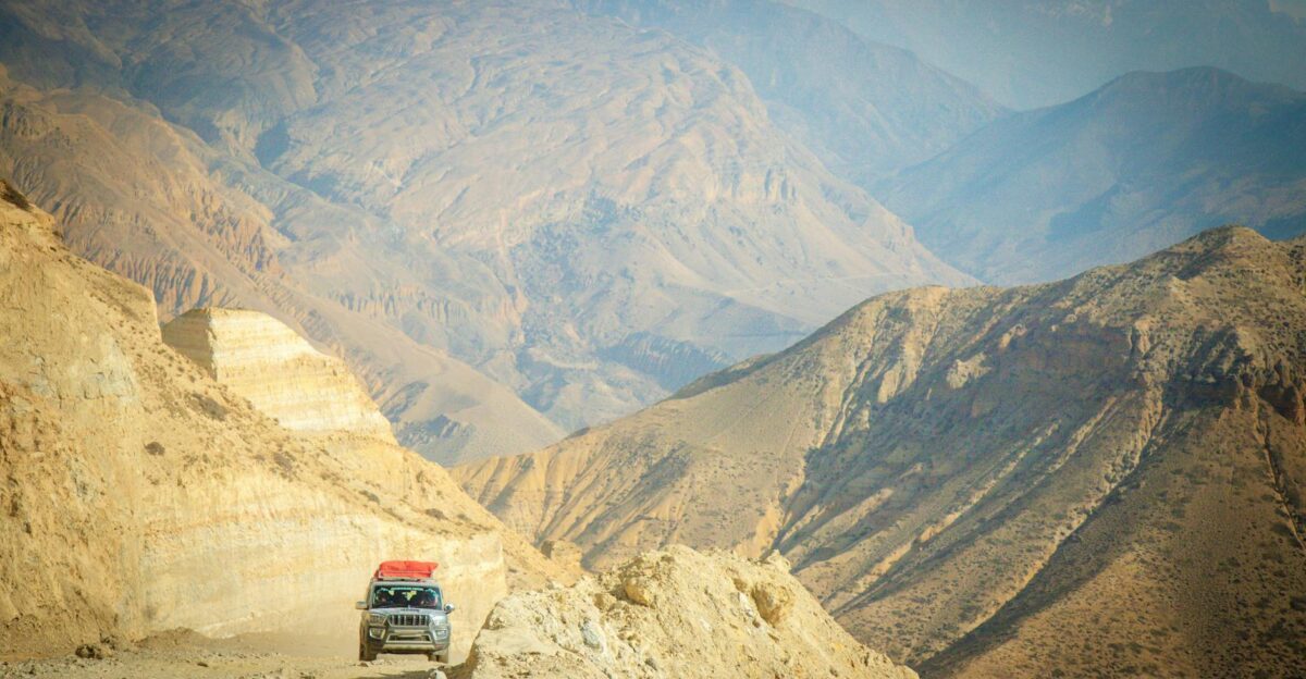
Recent flooding has closed major park roads, including Badwater Road and North Highway. Debris flows have carved new channels, while existing roads are buried under rock and mud.
Twenty Mule Team Canyon Road has also experienced complete washouts in several areas.
Visitor Evacuations

Superintendent Mike Reynolds oversaw the emergency evacuations as conditions worsened. More than 200 visitors were safely moved from camping areas and remote locations.
Fortunately, there were no reported injuries, even with the rapid emergence of hazardous conditions throughout the park.
Economic Impact Assessment
The recent closures have significantly impacted Death Valley’s $146 million tourism economy, resulting in mass cancellations at hotels in nearby Beatty and Pahrump.
Tour operators are adjusting itineraries, and bookings for the peak season in October and November now face uncertainty.
Geological Consequences
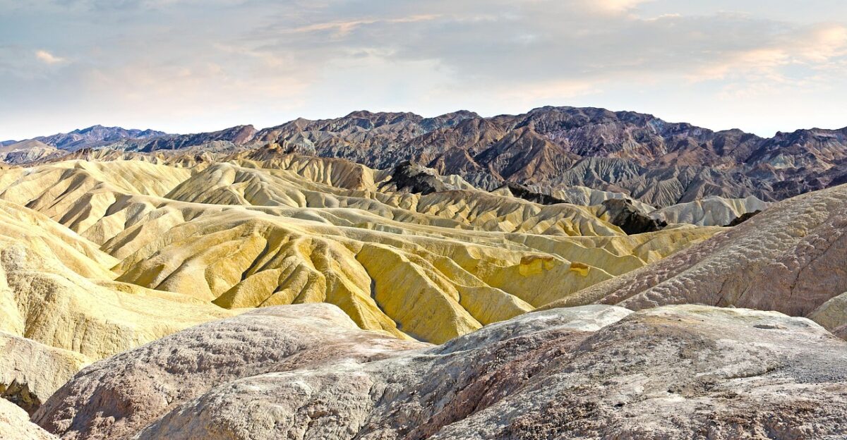
The flash floods exposed ancient lake bed sediments and carved new arroyos through previously stable terrain.
Geological surveys revealed that some debris flows transported rocks weighing several tons over distances exceeding a mile from their original positions.
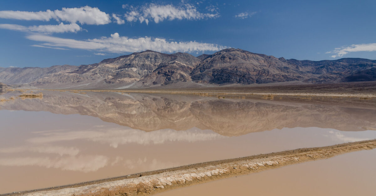
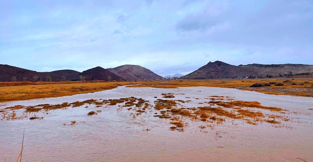
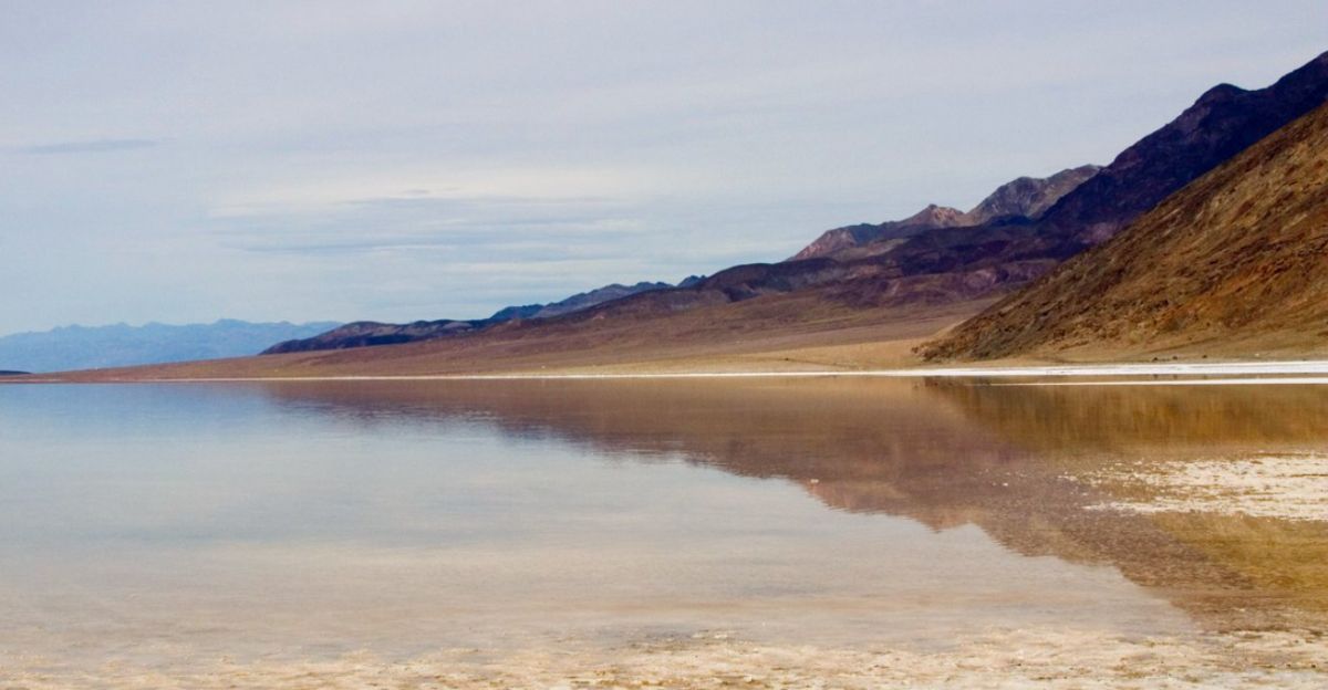
Badwater Basin Transformation
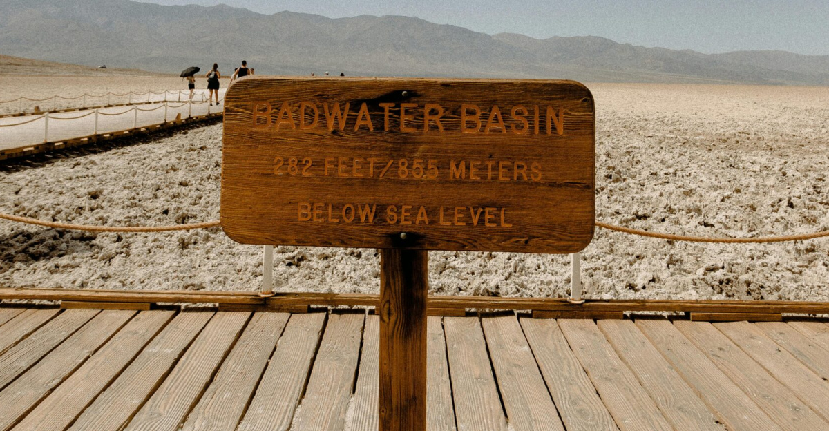
The flooding in Badwater Basin, the lowest point in Death Valley, created a temporary lake approximately 10 miles long and deep enough for kayaking.
Similar formations occurred after Hurricane Hilary in 2023 and lasted several months.
Emergency Response Coordination
The National Park Service activated its incident command system, coordinating with Inyo County Sheriff’s Office, California Highway Patrol, and Nevada emergency services.
Helicopter reconnaissance flights mapped the extent of road damage and identified stranded visitors.
Wildlife Displacement

Desert bighorn sheep, normally elusive, were spotted at unusual elevations seeking higher ground.
Park biologists documented disruption to pupfish habitats at Salt Creek, where sediment loads altered water chemistry in the endangered species’ critical breeding areas.
Recovery Timeline
Crews estimate that full road repairs will take 6-8 months, with CA-190 receiving priority for reopening.
Secondary roads may remain closed through 2026. The park has allocated $2.3 million in emergency funds for initial damage assessment and critical infrastructure repairs.
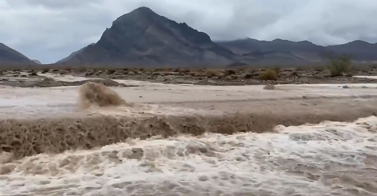
Flash Flood Physics
Death Valley’s terrain creates perfect flash flood conditions. Meteorologist Clay Morgan explained: “The soil is extremely hard out there. If you pour water into large parts of Death Valley National Park, it doesn’t soak down. It just flows.”
Steep mountain slopes channel water into narrow canyons, amplifying flood power.
Climate Research Opportunities
Scientists from UC Davis and UNLV are studying the event’s sediment patterns to understand prehistoric flooding.
Soil cores from the temporary lake will provide data on how desert ecosystems respond to extreme precipitation events in a changing climate.
Infrastructure Resilience Planning
The flooding prompted congressional discussions about climate adaptation funding for national parks.
Lawmakers are reviewing proposals for enhanced drainage systems and flood-resistant road construction in desert environments that are prone to extreme weather events.
International Climate Monitoring

The World Meteorological Organization added Death Valley’s flooding to its database of extreme weather events.
European Space Agency satellites captured before-and-after images that will be used to study rapid landscape changes in arid regions globally.
Desert Ecosystem Recovery
Flash floods naturally redistribute nutrients and seeds across the desert floor.
Botanists predict a rare wildflower bloom in spring 2026, similar to the spectacular displays that followed previous flooding events. However, some sensitive plant communities suffered permanent damage.
Visitor Safety Protocols
Death Valley has implemented new flash flood warning systems using weather station data and remote sensors.
Visitors now receive real-time alerts via cell phone when conditions favor rapid rainfall development over the park’s 3.4 million acres.
Climate Adaptation Reality
Death Valley’s flooding illustrates how even Earth’s most extreme environments are facing new challenges from weather volatility.
The event highlights the importance of infrastructure resilience and emergency preparedness as climate patterns shift across the American West, particularly given the increasing frequency of extreme weather events in what was once considered the most stable desert environment.