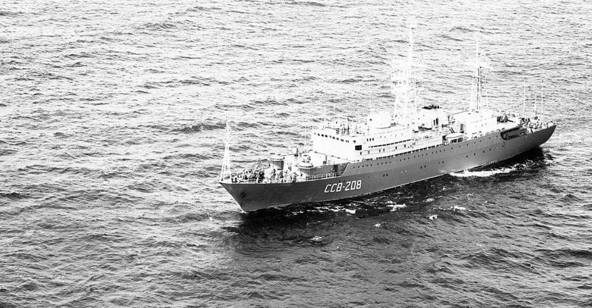
October 29, 2025, 3 a.m.: U.S. Coast Guard radar screens flickered to life. A Russian intelligence vessel, the Kareliya, had crept within 15 nautical miles of Oahu—just 3 miles beyond U.S. territorial waters. This purpose-built spy ship, equipped to monitor communications and intercept signals, positioned itself near one million residents and 50,000 military personnel.
Nobody knew. Not until November 13 did America learn that adversaries had been operating in plain sight, legally, off the coast of Pearl Harbor.
Why Did They Wait 15 Days to Tell Us?
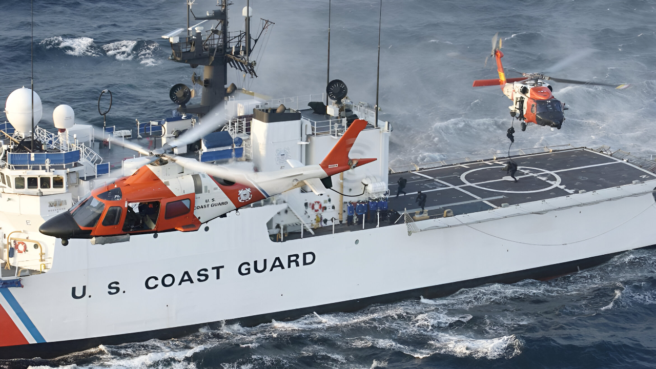
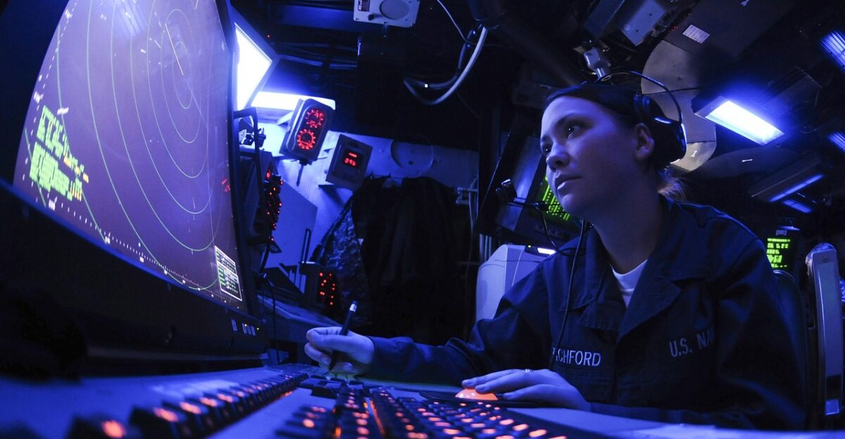
When the HC-130 Hercules and Cutter William Hart responded on October 29, the Coast Guard launched active monitoring operations. For 15 days, federal agencies tracked the Kareliya before announcing the intrusion publicly.
The Coast Guard stated they were “acting in accordance with international law,” but that masks a troubling reality: Russia positioned itself in a blind spot created by maritime law, and America could only watch.
Built for Espionage
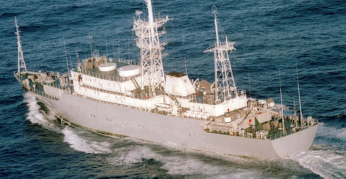
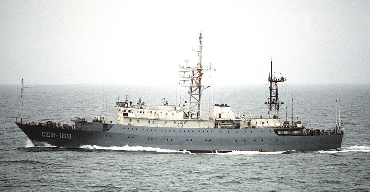
The Kareliya is a Vishnya-class intelligence vessel, a Soviet-era engineering project commissioned in July 1986 for signals intelligence gathering. Russia retrofitted it in 2017 with modern capabilities, transforming it into a floating surveillance platform bristling with sensors.
These purpose-built spy ships are designed to intercept naval communications, radar signals, and electromagnetic data through extensive antenna arrays housed in two distinctive radomes. The Kareliya is a predator engineered to hunt classified information.
America’s Pacific Fortress Under Siege
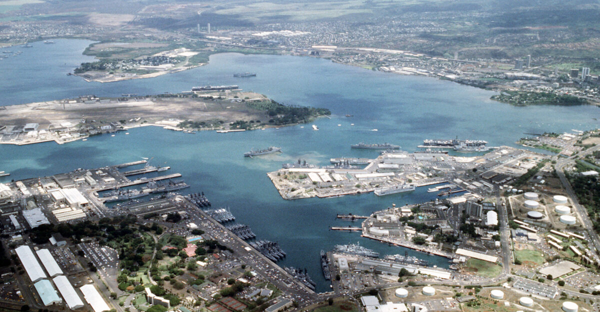
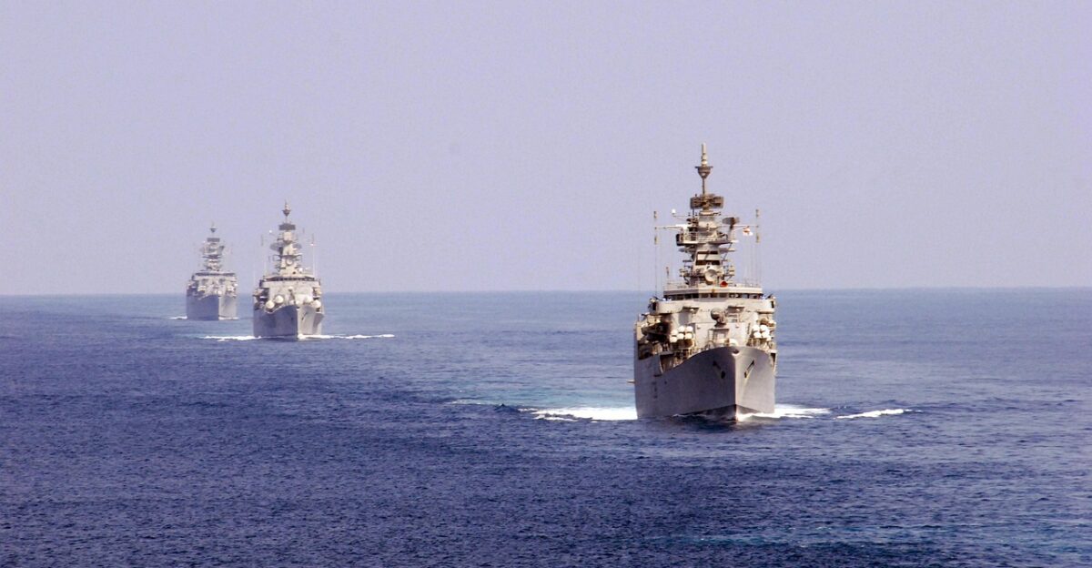
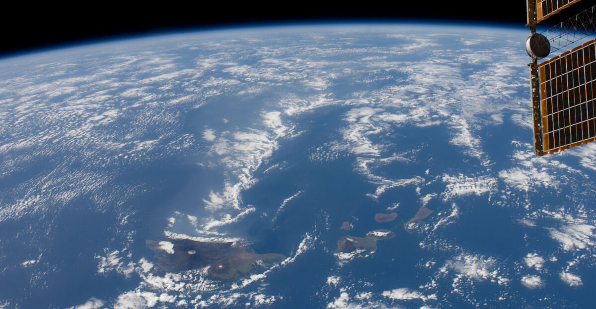
Hawaii isn’t random. It hosts the U.S. Pacific Fleet headquarters, 3rd Marine Littoral Regiment, and critical Pacific Missile Range facilities—America’s nerve center for Pacific dominance. Roughly 50,000 military personnel operate from Pearl Harbor and surrounding bases.
Vishnya-class vessels are designed to intercept naval communications across significant distances. From 15 miles offshore, the Kareliya could monitor military infrastructure anchoring U.S. Pacific power across the Hawaiian island chain.
The Legal Loophole Russia Exploits for Spy Operations
Here’s the alarming reality: it’s legal. International maritime law permits foreign military vessels to operate in international waters outside the territorial sea, which extends 12 nautical miles from the shore. The Kareliya positioned itself at 15 nautical miles—just outside that boundary. Russia exploited a legal loophole enabling espionage without violating international law.
Capt. Matthew Chong acknowledged the service monitors “in accordance with international law” while defending “maritime borders and sovereign interests”. Technically lawful. Strategically alarming.
Russia Returns Again and Again
The Kareliya appeared near Hawaii before—spotted in 2021 and then again in 2022. This recurring operational pattern reveals Moscow’s sustained interest in monitoring U.S. military capabilities. Sister vessel Viktor Leonov conducted similar East Coast patrols between 2014 and 2020, occasionally operating without running lights and ignoring radio calls from commercial vessels.
These operations are deliberate, coordinated, persistent—and increasingly normalized in America’s contested waters.
Russia Is Building a Spy Network Across the Entire Pacific

Hawaii is one piece of a larger puzzle. July 2024: Coast Guard detected Vishnya-class vessel Kurily operating 30 nautical miles southeast of Amukta Pass in the Aleutian Islands. Cmdr. Steven Baldovsky noted that his crew “met presence with presence to ensure there were no disruptions to U.S. interests in the maritime environment around Alaska.”
Russia is systematically positioning intelligence vessels across the Pacific, monitoring American military hubs from Alaska to Hawaii. It’s coordinated. It’s expanding.
One Million Residents Unaware of Offshore Surveillance

One million Oahu residents remained unaware of the intelligence vessel operating offshore. Military personnel working on classified projects, coordinating fleet operations, discussing strategy—all potential targets for Vishnya-class signals intelligence systems designed to intercept communications across extensive ranges.
The Kareliya’s surveillance capabilities could monitor the entire military network anchoring U.S. Pacific dominance, operating in silence just beyond territorial waters.
Pearl Harbor’s Shadow
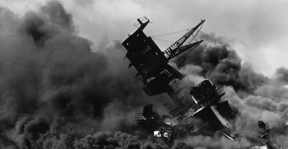
December 7, 1941: Japanese attack killed 2,403 Americans, triggering U.S. entry into World War II. Pearl Harbor remains the spiritual and operational center of American Pacific power. A Russian intelligence vessel prowling those same waters represents Cold War competition continuing—but now through quiet, methodical espionage operating at the edge of legality. No missiles. No weapons. Just relentless surveillance and signal interception.
Russia’s Intensifying Global Maritime Offensive
Since Russia’s February 2022 Ukraine invasion, military activities near U.S. shores have intensified rather than diminished. Beyond Hawaii, Viktor Leonov transited the Strait of Gibraltar, entering the Mediterranean in April 2025, continuing Moscow’s pattern of deploying intelligence-gathering assets globally.
Russia learned a crucial lesson: effective espionage doesn’t require violating international law. It only requires operating at its edge, exploiting loopholes, and maintaining persistent pressure.
The Viktor Leonov’s Global Spy Network
Viktor Leonov, sister ship to Kareliya, symbolizes Russia’s worldwide intelligence operations. After months off the U.S. East Coast, it steamed toward Europe, passing through Gibraltar in spring 2025 before positioning in the Mediterranean.
From there, it monitors NATO naval operations, U.S. military communications throughout Southern Europe, and critical global trade chokepoints. Russia deploys these platforms like pieces on a strategic chessboard spanning multiple oceans.
America’s Coast Guard
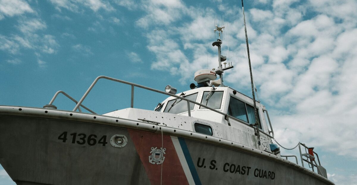
The response involves continuous monitoring coordinated with the U.S. Indo-Pacific Command and federal agencies. The HC-130 Hercules and Cutter William Hart execute a “presence with presence” strategy—maintaining visibility and control over maritime activity near territorial waters. I
t’s cat-and-mouse, with U.S. forces constantly scrambling to respond to Russian moves while Moscow exploits legal frameworks for unimpeded surveillance. American resources are stretched thin across thousands of coastline miles.
The Razor-Thin Boundary Protecting American Sovereignty
International law permits Kareliya to operate just 3 miles beyond U.S. territorial waters—a buffer that exists on America’s sovereignty’s edge. Staying at 12.01 nautical miles or greater keeps the vessel operating legally.
This precarious balance reveals a troubling trend: adversaries are increasingly exploiting legal frameworks for intelligence operations, pushing the boundaries of acceptable behavior in contested maritime spaces. Technically lawful. Strategically devastating.
What Was the Kareliya Actually Capable of During Those 15 Days?
What was Kareliya capable of during those 15 days before the announcement? These vessels are designed for mapping military communications networks, identifying encrypted signal patterns, and monitoring naval operations. The delayed disclosure suggests intelligence agencies may have gathered valuable counterintelligence themselves, observing Russian sensor capabilities and operational procedures.
This silent competition—fought through surveillance, positioning, and strategic monitoring—defines modern maritime rivalry between superpowers. No weapons needed.
The Modern Capability Monitoring Everything
Vishnya-class vessels are equipped with signals intelligence (SIGINT) systems designed to intercept communications across extensive ranges, meaning Kareliya could potentially monitor significant portions of the Hawaiian island chain from its offshore position. Military personnel, government officials, defense contractors—all conducting communications within range of these sophisticated collection platforms.
Modern espionage doesn’t require infiltration. It requires positioning, patience, and sophisticated equipment. The Kareliya possessed all three, and America’s laws permitted it.