Snow is piling up by the foot in California’s Sierra Nevada as an early-January storm collides with one of the busiest ski weekends of the season. Highways that normally bring tourists to Lake Tahoe and Yosemite have turned into choke points, with whiteout conditions, hurricane-force ridge winds exceeding 100 mph, and deepening drifts isolating mountain communities.
The National Weather Service issued Winter Storm Warnings from January 2–6, 2026, warning of several feet of snow at higher elevations. Travelers face chain checkpoints, road closures, and long waits, as officials caution that conditions can deteriorate within minutes. Here’s what’s happening…
Travel Nearly Impossible Amid Whiteout Conditions
By Saturday, authorities and meteorologists focused less on snowfall totals and more on whether people could move safely through the Sierra corridors. The National Weather Service warned that travel “could be very difficult to impossible” on major routes such as Interstate 80 and U.S. Highway 50. Chain controls and slow-moving convoys reduced speeds to 25–30 mph where traffic was allowed.
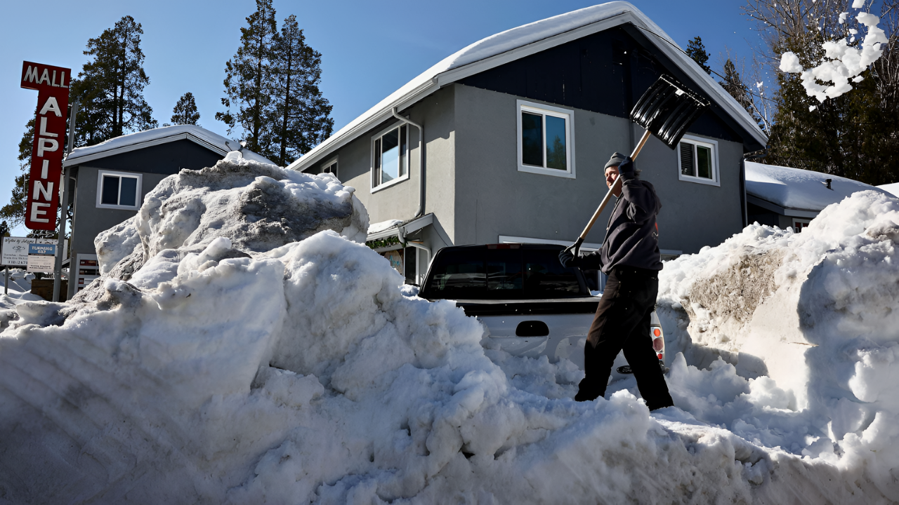
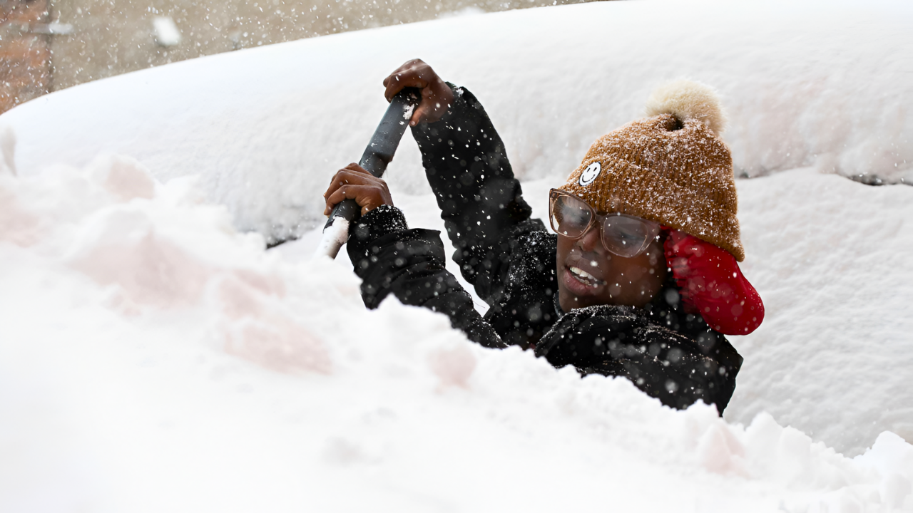
Reports from Lake Tahoe showed weekend traffic paralyzed, with visitors stranded as fresh snow outpaced plows. South Tahoe Now reported on January 4 that “travel continues to be an issue” with extended closures. Emergency officials urged the public to postpone nonessential trips and carry emergency kits with food, water, and light sources in case of long delays.
Atmospheric River Fuels Historic Snowfall
The storm’s intensity is driven by an unusually cold atmospheric river sweeping inland from the Pacific, according to CBS News Sacramento on January 3, 2026. Moisture-laden air rises rapidly along the Sierra’s western slopes, producing heavy snow above 5,000 feet and gusts up to 128 mph along ridgelines. This system follows an exceptionally wet start to the water year, with parts of California receiving over 300% of average rainfall, helping the state become drought-free for the first time in 25 years, the San Francisco Chronicle reported on January 7.
Snowpack totals are reaching 5 feet in some areas, replenishing reservoirs and rivers. Early 2026 forecasts had predicted multiple Pacific systems delivering heavy rain to lowlands and “multiple feet of snow” to the Sierra, setting the stage for both essential water gains and significant disruption.
Infrastructure and Services Under Pressure
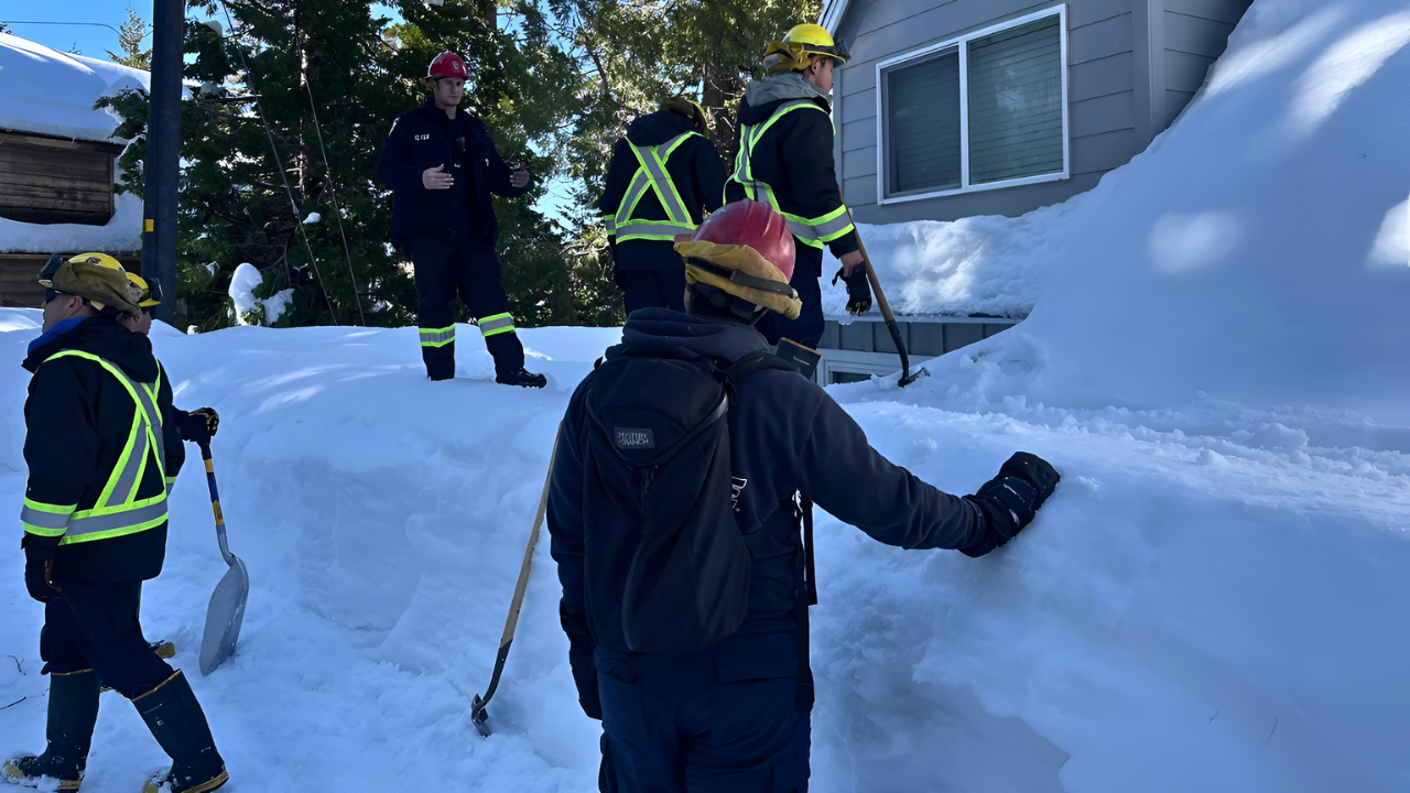
Deepening snow and high winds are straining roads, utilities, and emergency services. Gusts of 45–60 mph, with ridgetop gusts over 100 mph, have elevated avalanche danger to “HIGH” in parts of the Central Sierra, according to regional avalanche centers. Plows and avalanche teams work in bursts between heavy snow and strong winds, often retreating due to near-zero visibility. Ski resorts report limited openings or closures as ridgetop gusts and unstable snow create hazards.
The power grid is also affected. Heavy snow on tree branches, combined with strong winds, is causing outages. NWS bulletins warn that “strong winds may cause tree damage and power outages.” Crews are deployed as conditions allow, though blocked roads and avalanche risk delay restoration.
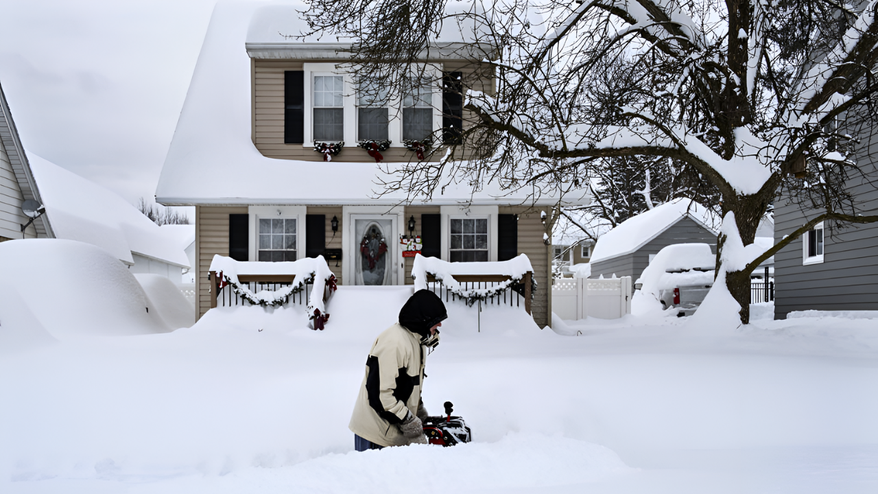
Massive Snow Totals Disrupt Communities
Forecasters report staggering snowfall totals. Winter Storm Warnings through Monday morning predict 36–60 inches above 8,000 feet near Yosemite National Park, or roughly 3–5 feet from a single system, according to Newsweek on January 2. Other areas above 5,500 feet are expected to see 2–4 feet.
Popular mountain towns are becoming temporary islands. Interstate 80 over Donner Summit was fully closed on January 4, with CHP and Caltrans turning vehicles around. Ski towns are preparing for restricted access as crews clear snow and manage avalanche risks. Meanwhile, the Great Lakes region faces a related situation: Michigan’s snowbelt could see 48–60 inches of lake-effect snow, producing “mountain-like” accumulations in flat terrain and widespread travel challenges.
Recovery and Broader Lessons
As the storm wanes late Sunday into Monday, attention will shift to reopening I-80, US-50, and other key routes, while avalanche teams monitor slopes. Ski resorts plan gradual lift restoration once winds ease and patrols declare terrain safe. At the same time, officials will assess infrastructure performance under stress, highlighting vulnerabilities in aging power lines, tree maintenance, and remote access challenges.
Meteorologists note that this storm underscores broader discussions about extreme winter weather in the West and Great Lakes. While heavy snow restores crucial water supplies, it also tests the resilience of mountain and snowbelt communities, emergency planning, and public response to travel warnings.
Sources:
Winter Storm Warning. National Weather Service, January 2-6, 2026
Cold atmospheric river brings rain, mountain snow to Northern California. CBS News Sacramento, January 3, 2026
Map shows where California rainfall is over 300% of average. San Francisco Chronicle, January 7, 2026
Lake Tahoe travel continues to be an issue Sunday night. South Tahoe Now, January 4, 2026
Winter storm warnings in 4 states for 4 feet of snow, 100 mph winds. Newsweek, January 2, 2026
Yosemite braces for one of the heaviest snowfalls in years. San Francisco Chronicle, January 2, 2026