Millions of Californians preparing for Christmas gatherings face an unprecedented weather threat: a rapidly intensifying Pacific storm system poised to deliver catastrophic winds, historic rainfall, and widespread power outages during peak holiday travel season. Forecasters warn the disturbance may undergo bombogenesis—a rapid deepening where central pressure drops at least 24 millibars in 24 hours—creating a high-impact system that could rank among California’s most significant winter storms in recent years.
A Bomb Cyclone Takes Shape
The powerful low-pressure system off the West Coast has the potential to become a bomb cyclone, according to AccuWeather meteorologists. The National Weather Service has issued High Wind Watches across the San Francisco Bay Area beginning Tuesday evening, coinciding with an estimated 44 million Americans traveling nationwide for Christmas. The storm is expected to crest on Christmas Eve and Christmas Day—the peak travel window—threatening to disrupt holiday plans for countless families who have spent months arranging visits and coordinating travel.
Extreme wind conditions pose the most immediate danger. The Bay Area is forecast to experience gusts up to 60 mph, with the possibility of 70 mph or higher in elevated terrain and coastal areas. The impact zone extends from Redding to San Francisco, while Medford, Oregon, and Reno, Nevada, face gusts around 60 mph. Nearly every major California roadway is expected to be wet on Christmas Eve, dramatically increasing risks of spinouts, hydroplaning, and closures. When large California airports experience weather-related shutdowns, delays cascade through the national air system, compounding travel disruptions across the country.
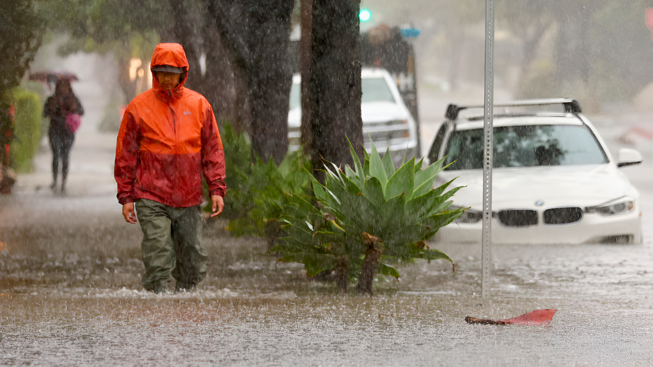
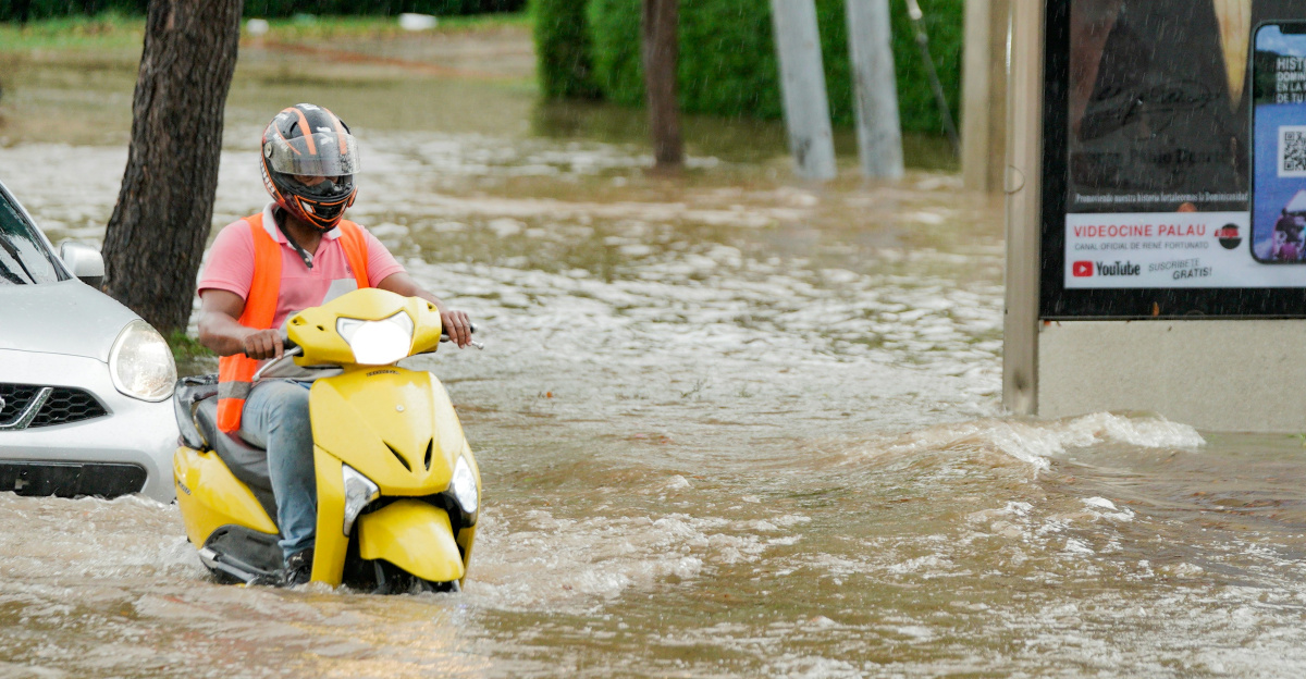
Some travelers have already abandoned their plans. In Northern California, floodwaters have forced drivers to turn around on key routes, abruptly canceling holiday gatherings. Others find themselves confined to rental properties as neighborhood streets transform into temporary rivers.
Atmospheric River Unleashes Historic Rainfall
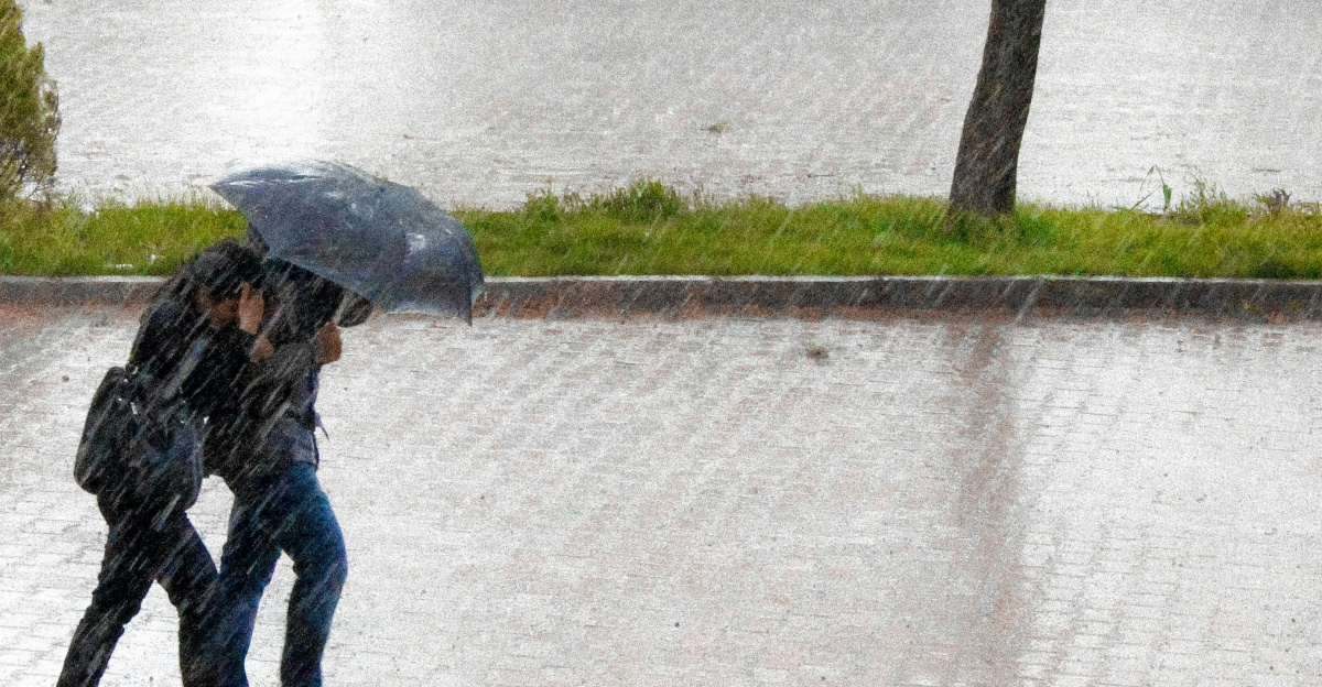
The storm taps into an atmospheric river—a concentrated band of tropical moisture—that will focus intense rainfall across narrow regions. San Francisco is forecast to receive more than seven inches of rain by Saturday, far exceeding its average December total of 4.76 inches. North Bay residents face three to five inches before Christmas, prompting evacuation warnings from Tuesday through Thursday. The Sierra Nevada could accumulate several feet of snow, making mountain passes hazardous or impassable and adding another layer of difficulty for holiday travelers.
Forecasters also warn the system’s strong cold front could carry embedded severe thunderstorms as it comes ashore late Tuesday into early Wednesday. With strong wind shear present, meteorologists cannot rule out isolated tornadoes—rare but hazardous events that occur occasionally in California. A December 2024 tornado in Scotts Valley injured five people and overturned vehicles, demonstrating the credible threat posed by such events.
Power Outages and Cascading Crises
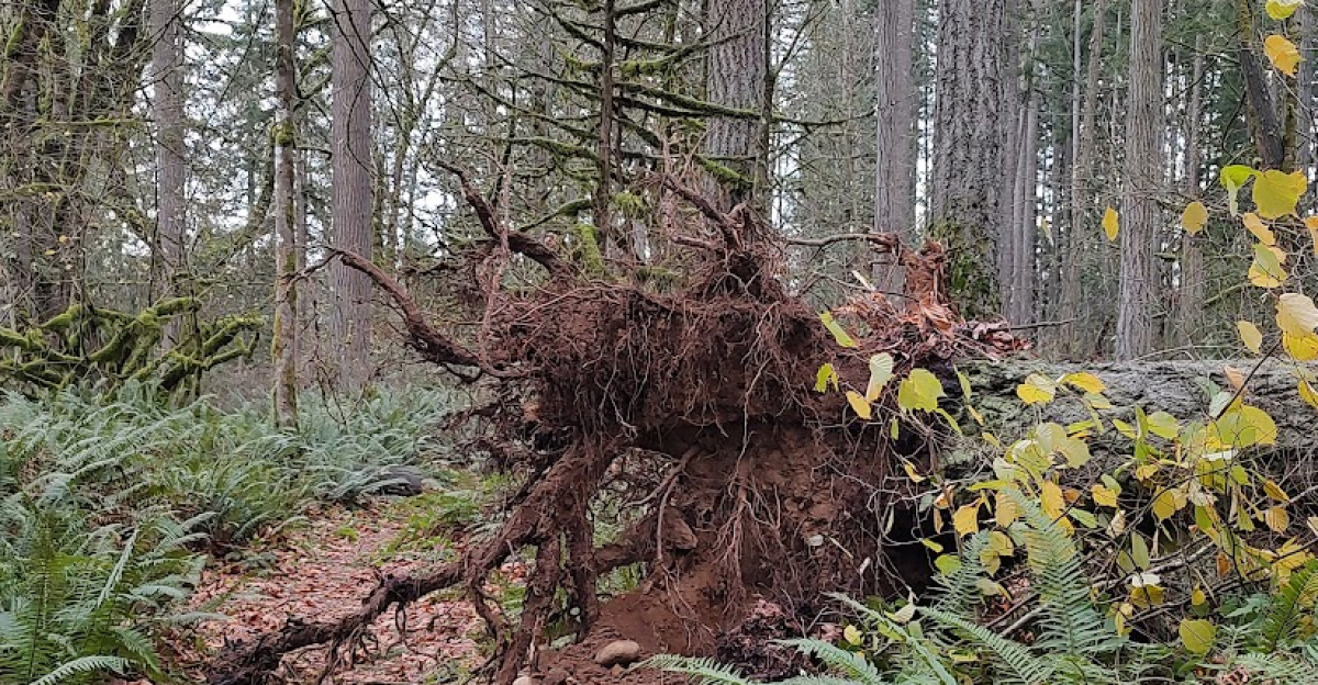
The combination of saturated ground and powerful winds creates significant danger of downed trees, damaged power lines, and extended blackouts. Days before Christmas, losing electricity disrupts refrigeration for holiday meals, eliminates heat as nighttime temperatures drop, and endangers people relying on powered medical devices such as oxygen concentrators, ventilators, feeding pumps, or dialysis support.
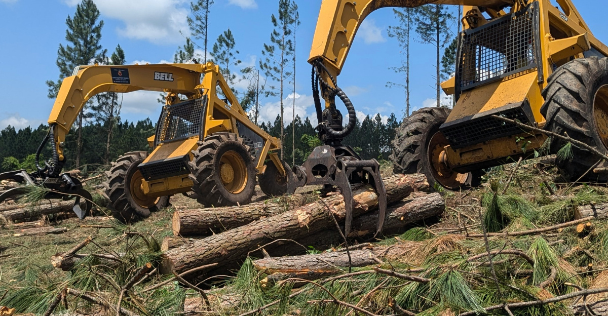
Pacific Gas and Electric has mobilized approximately 5,500 workers, including 1,500 line crews and nearly 3,000 tree-removal specialists, in anticipation of significant outages. For residents dependent on life-sustaining equipment, prolonged blackouts transition from inconvenience to medical emergency. Elderly residents in care facilities remain at particular risk, with some previously requiring forcible evacuation from other storms.
Southern California Faces Extreme Flooding Risk
As the system slides south, Southern California faces what AccuWeather describes as a “firehouse of rain.” Between Tuesday and Saturday, projections call for four to eight inches across the Los Angeles Basin and eight to twelve inches in nearby mountains. The National Weather Service issued a rare Level 4 of 4 “High Risk” flood alert for portions of Southern California on Christmas Eve and Christmas Day—a designation reserved for widespread, life-threatening flash flooding scenarios.
Communities near recent wildfire burn scars face exceptional danger. In areas where vegetation has been stripped away, ash and scorched soil repel water rather than absorb it, sending runoff downhill in fast-moving flows of mud, rocks, and debris. Residents in Palisades, Sunset, and Hurst fire zones are under evacuation warnings through Thursday, with rainfall rates potentially reaching one inch per hour. For families in those neighborhoods, celebrating Christmas may mean relocating to emergency shelters.
Limited Time to Prepare
Forecasts have grown steadily more severe as new data arrives, with updated projections replacing an anticipated lull on Christmas Eve night with a second surge of heavy rain and strong winds Christmas morning. Officials urge residents to use remaining time to prepare: stock food, potable water, and essential medicines; secure outdoor furniture; trim weakened branches; fill bathtubs for non-drinking water needs; and bring pets inside.
The unsettled pattern extends beyond Christmas Day, with additional moisture waves forecast through the weekend and following week, prolonging flood, snow, and travel hazards. For many Californians, this holiday season will be remembered not for gatherings and festivities, but for the resilience required to weather a powerful and persistent winter storm—and for the critical importance of preparation and safety during weather emergencies of historic magnitude.
Sources:
National Weather Service (NWS) High Wind Watch alerts and forecasts for San Francisco Bay Area, Northern California, and Southern California (December 23–25, 2025)
AccuWeather meteorologist Brandon Buckingham analysis of bomb cyclone potential and wind intensity forecasts
Colin McCarthy extreme weather specialist tracking system assessment of 60–70+ mph wind gusts and tornado potential
KTLA weather anchor Mark Kriski forecast updates on storm intensification (December 2025)
Pacific Gas and Electric (PG&E) emergency response mobilization statement regarding power outage preparations
National Weather Service “High Risk” flood alert (Level 4 out of 4) for Southern California (December 24–25, 2025)