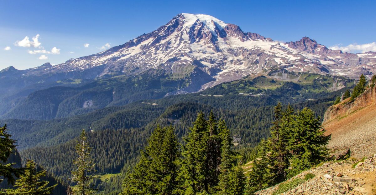
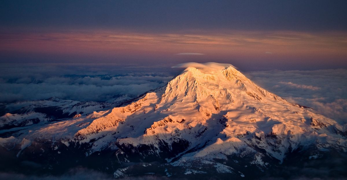
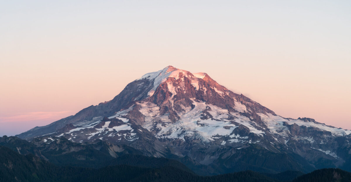
In mid-November 2024, alarming headlines swept through Washington state: Mount Rainier had recorded 72 hours of near-continuous volcanic tremor, with seismometers showing overlapping vibrations 80–90% of the time.
Scientists and residents braced for the worst. But what was really happening beneath the surface of this unpredictable giant? And what does it mean for the safety of the 150,000–250,000 of people living in its shadow?
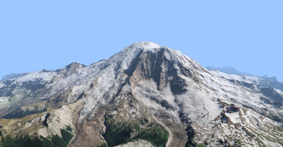
Why Rainier’s Recent Activity Matters
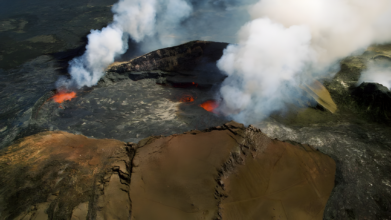
The tremor followed Rainier’s largest recorded earthquake swarm in July 2024, when more than 1,000 quakes rattled the volcano over three weeks, far exceeding a brief 2009 swarm that lasted only three days.
The USGS reports no ground swelling or eruption-style earthquakes, suggesting that shifting hydrothermal fluids, rather than rising magma, are at play.
Even so, that same process can destabilize slopes and ice, priming deadly mudflows that represent the primary danger to downstream communities.
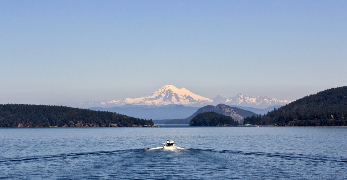
Communities Living in the Lahar Path
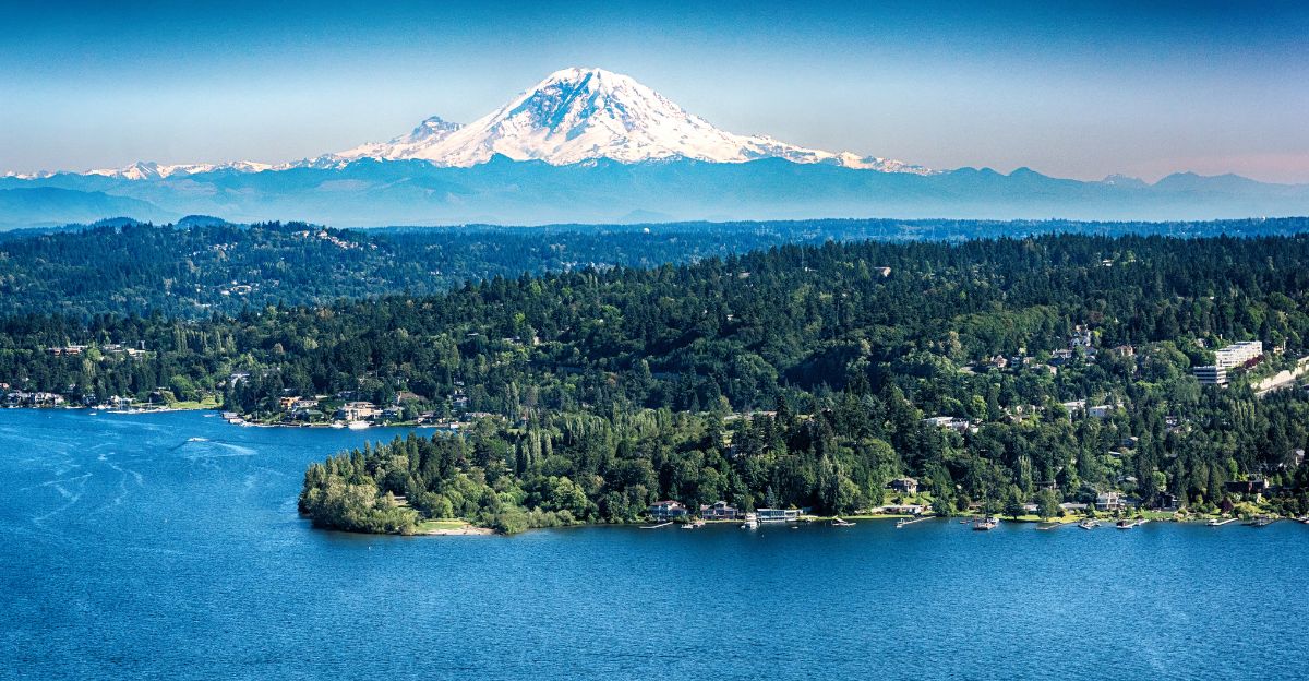
An estimated 150,000–250,000 residents live in the river valleys that drain Mount Rainier, including towns such as Orting, Sumner, and the suburbs of Tacoma.
USGS hazard mapping projects 50,000–80,000 homes in potential lahar inundation zones, meaning a single flank collapse, intense rainfall event, or eruption could bury entire neighborhoods within minutes, long before regional or national help arrives.
Lahars—fast-moving mudflows capable of traveling at speeds exceeding 30 meters per second—can carry debris and sediment more than 80 kilometers downstream.
Infrastructure Exposure
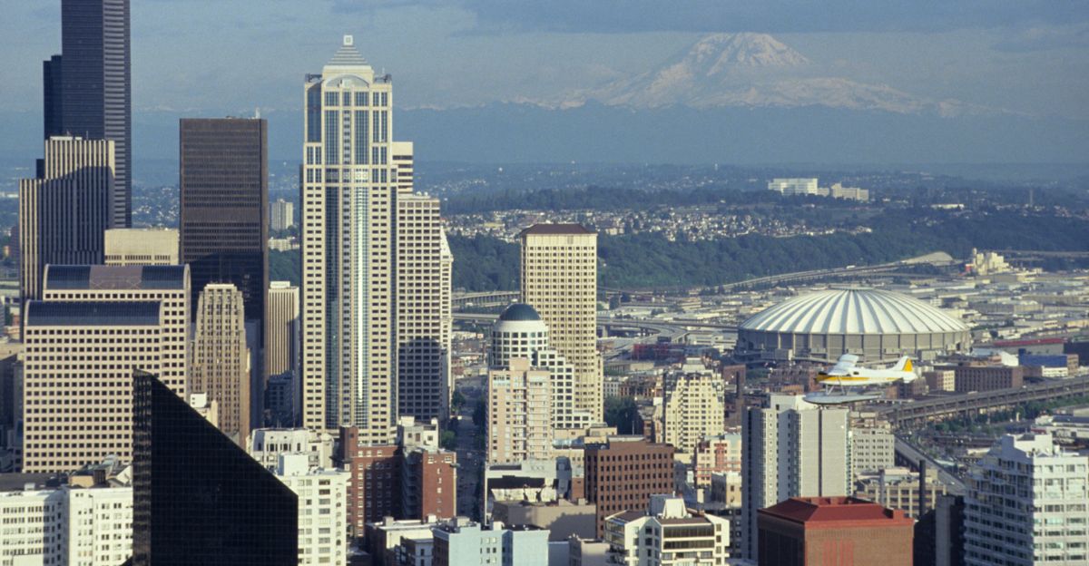
Based on housing density and infrastructure mapping, independent analysis estimates $5–10 billion in bridges, highways, rail lines, and utilities exposed to lahars. Major corridors linking Seattle and Tacoma cross these valleys, creating potential chokepoints for regional transportation and commerce.
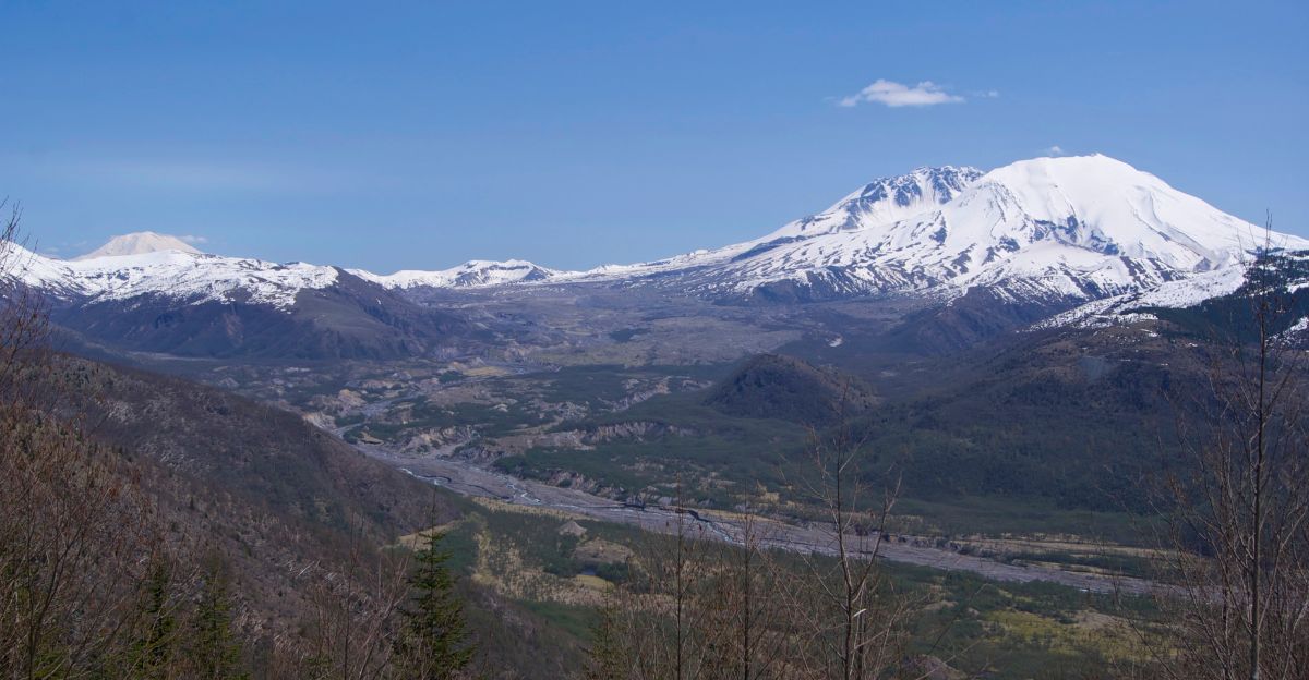
The Puyallup, White, Nisqually, and Cowlitz river systems—all draining Rainier—channel these mudflows toward populated lowlands.
Historic Precedent and the November Tremor Debunking
USGS mapping shows that historic debris flows, such as the Osceola Mudflow that occurred approximately 5,600 years ago, extended more than 80 kilometers from the volcano, reaching into what is now Puget Sound, near present-day Tacoma, Auburn, and Kent.
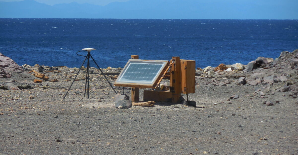
Yet modern subdivisions and industrial parks now occupy many of these lowlands. Interestingly, the November 2024 tremor signal that generated national headlines was officially debunked on November 29, 2024, by the Pacific Northwest Seismic Network (PNSN), which confirmed the signal was not volcanic tremor at all, but radio interference caused by rime ice buildup on the antenna of a single seismic station (STAR, at ~11,000 feet on Rainier’s west side).
True volcanic tremor consistently appears across multiple stations; a signal isolated to one station due to weather-related antenna degradation is not considered an eruption signal. The debunking underscores the importance of distinguishing genuine volcanic hazards from instrumental artifacts.
Global Supply Chains Through Puget Sound
Mount Rainier drains toward Puget Sound, a hub for container ports in Tacoma and Seattle that handle trade between Asia and North America.
Large lahars could disrupt rail spurs, highways, and utilities that supply these ports, delaying cargo ranging from electronics to grain. Even without an eruption, cascading logistics delays could ripple through national and international markets.
The economic interdependence of supply chains means a single volcano could have consequences far beyond Washington state.
People on the Front Line
Volcanologists and emergency management experts widely recognize that lahar detection networks can save thousands of lives by providing critical advance warning. This recognition underscores the stakes for residents and first responders in valley towns.
Local emergency managers must plan for evacuating schools and workplaces with only minutes of notice, as lahar detection systems can provide 3–10 minutes of warning before impact in the nearest communities. These precious minutes are the difference between escape and catastrophe.
Detection Networks and Warning Systems
Over the past decade, regional agencies and USGS installed automated lahar detection systems along major valleys draining Rainier, including the Puyallup, White, Nisqually, and Cowlitz rivers.
These sensors can trigger sirens and alerts, providing only about 3–10 minutes of warning for many communities.
Officials must decide how aggressively to regulate development, fund vertical evacuation structures, and maintain these systems over the long term. The challenge is striking a balance between immediate warning capability and long-term preparedness infrastructure.
Economic Risk and Disaster Budgets
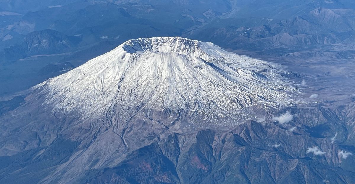
Historical lahars from Mount St. Helens in 1980 destroyed more than 200 homes and 185 miles of roads, becoming a benchmark for volcanic flood damage.
Translating that to today’s denser Rainier valleys—where population and infrastructure have grown significantly since 1980—local and federal governments must weigh billions in potential rebuilding costs against upfront investments in hazard mitigation, zoning changes, and public insurance backstops.
Rainier’s larger glacial mass and higher elevation suggest potential lahars could be even more destructive than those from Mount St. Helens.
Lifestyle and Emergency Readiness
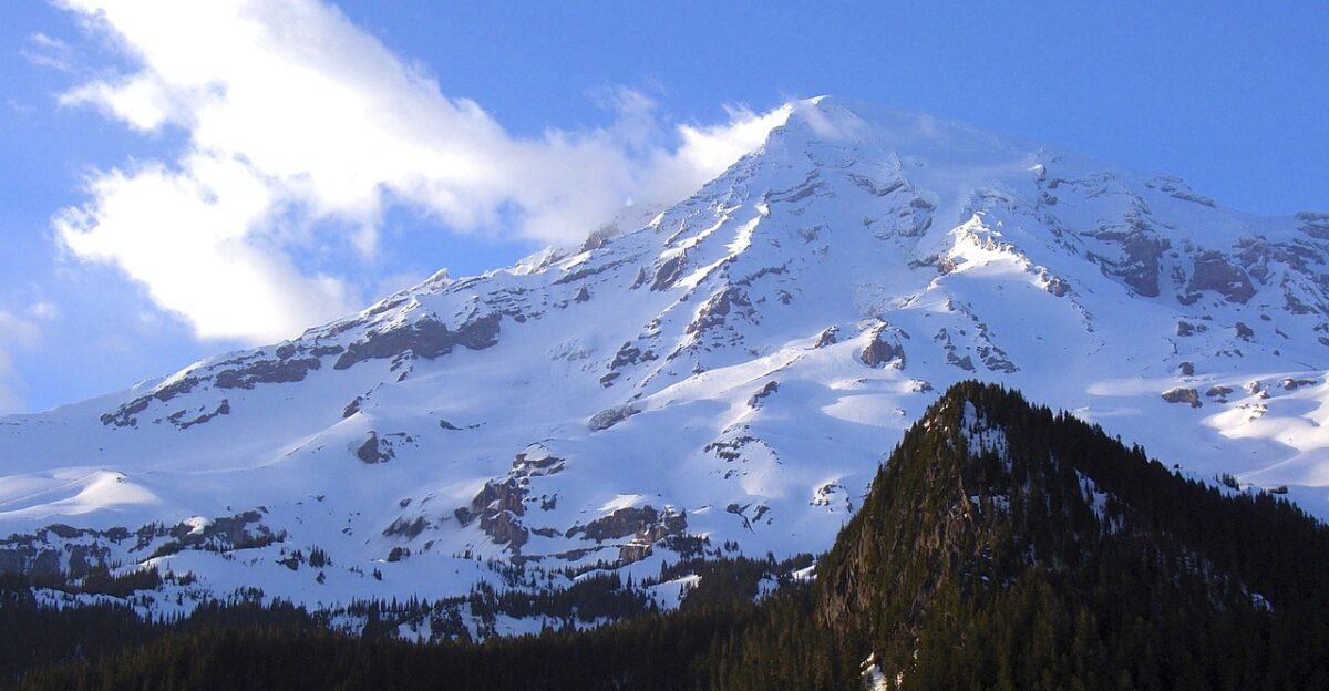
The USGS maintains Rainier at a “green/normal” alert level, indicating that no eruption is imminent. Yet recent earthquake swarms spur renewed advice for go-bags, evacuation routes, and school drills in Pierce County and beyond.
For residents, living near an iconic peak increasingly means balancing outdoor recreation and property values with a culture of everyday readiness for rapid mudflows and ashfall.
The psychological burden of living under a “Very High Threat” classification is real, even when immediate danger is not elevated.
Environment, Ecosystems, and Recovery
Lahars can strip river valleys to bedrock, killing fish runs and burying forests. Yet the Mount St. Helens blast zone now supports more than 150 plant species, illustrating long-term ecological recovery and resilience.
Future Rainier mudflows would radically reshape habitats and water quality for decades, forcing agencies to adapt salmon restoration, forestry, and watershed management plans. Recovery is possible but slow, measured in decades and centuries rather than years.
Public Perception of “America’s Most Dangerous” Volcano
The USGS ranks Rainier in its top threat tier, and many scientists and media describe it as one of America’s most dangerous volcanoes due to its lahar potential and dense downstream populations—not because an eruption is imminent, but because the combination of hazard and exposure is unmatched.
The “Very High Threat” label shapes tourism, local identity, and political will, sometimes fueling alarm (as with the November 2024 tremor false alarm), but also drawing essential attention and funding to monitoring and preparedness programs.
Unexpected Winners and Losers
Companies providing seismic sensors, mapping, and emergency alert software may benefit as agencies upgrade lahar detection networks in response to real volcanic activity and public concern.
Conversely, developers and homeowners in mapped hazard zones could face higher insurance costs, stricter building rules, or declining property values.
Outdoor recreation businesses must navigate messaging that promotes Rainier trips without minimizing real volcanic risks. The false tremor report likely accelerated some of these market dynamics, underscoring how misinformation affects economic and policy decisions.
Risk Pricing, Markets, and Consumer Moves
While there is no sign of an imminent eruption, households in vulnerable Washington valleys can treat Mount Rainier like an earthquake or flood risk: review insurance coverage, secure important documents, and learn the meanings of siren alerts and evacuation routes.
Investors and insurers are increasingly incorporating volcanic and climate-linked hazards into their long-term models, rewarding resilient infrastructure and diversified logistics networks.
Preparedness is a rational hedge against low-probability, high-consequence events—even when the immediate threat is not elevated.
What’s Next for Mount Rainier and the Region
USGS reports no ground deformation or eruption-style seismicity at Rainier, and monitoring systems remain sensitive to genuine volcanic signals. The July 2024 earthquake swarm and broader pattern of hydrothermal activity confirm the volcano is active and closely watched.
Lahars can occur even without an eruption, triggered by flank collapse, intense rainfall, or debris falls from unstable slopes.
For Washington and the broader economy, the challenge is living—and building—safely in the shadow of inevitable future flows, while maintaining robust monitoring systems and clear communication that distinguishes real hazards from false alarms.
Sources:
U.S. Geological Survey Mount Rainier monitoring and hazards documentation
Pacific Northwest Seismic Network official statements and seismic data
USGS Volcano Hazards Program lahar research and detection systems
USGS Mount St. Helens 1980 eruption summaries