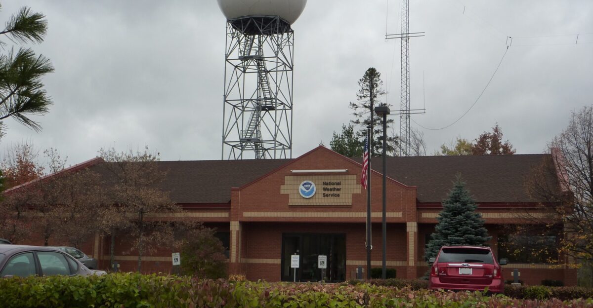
It’s Tuesday evening. Millions of cars line highways across Michigan and the Great Lakes. Families are excited. Kids text relatives. Gas tanks are full. But meteorologists at the National Weather Service Marquette watch something ominous on their radar—language they rarely use: “a storm to remember.”
Two winter systems converge over the Great Lakes in a collision of frigid Arctic air and moisture-rich systems targeting Michigan’s Upper Peninsula starting Tuesday night. The timing is catastrophic. Millions of holiday travelers already on the road remain unaware that within hours, this normal Tuesday stretch of highway will become a test of survival.
What 46 Inches of Snow Looks Like
Imagine standing in your driveway, and your neighbor’s garden is completely buried. That’s what forecasters warn could happen to Michigan’s western Upper Peninsula by Friday morning. Meteorologists forecast 12 inches or more across much of the region, with the heaviest snow belts expecting 2 to 3 feet of accumulation by Thursday morning.
High-end estimates suggest remote areas could accumulate up to 46 inches by Friday—burying homes, vehicles, and entire neighborhoods under nearly four feet of snow in less than 72 hours.
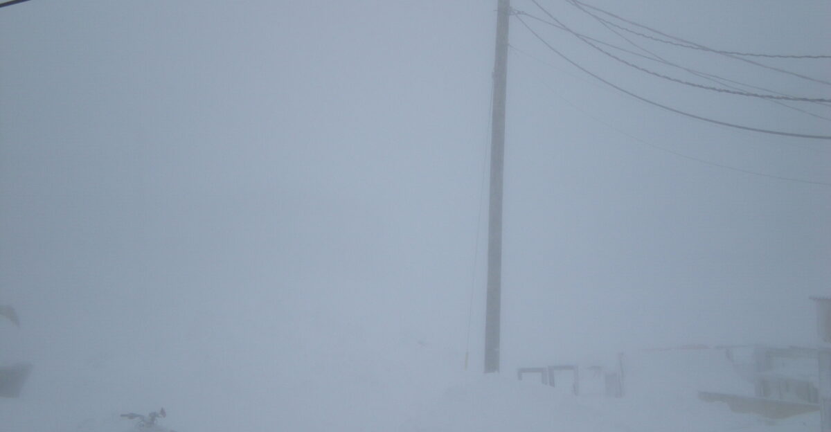
Snow So Heavy You Won’t See Your Windshield
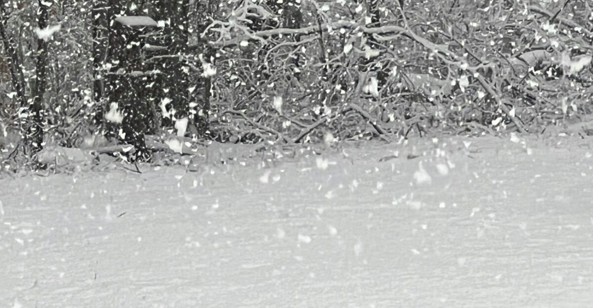
It’s not the total amount of snow that kills people on highways—it’s the speed at which it arrives. Forecasters warn snowfall rates could exceed one inch per hour at the peak, Wednesday into Thanksgiving morning.
This rapid accumulation, combined with wind-driven drifting, will make roads impassable and conditions treacherous with alarming speed. Meteorologists understand what happens when snow falls faster than road crews can clear it.
Winds That Transform Snow Into Weapons
Now add wind to the equation—and this is where it gets genuinely dangerous. Wind gusts of 50 mph or higher are expected across the Keweenaw Peninsula and elevated regions of Baraga County, with sustained winds of 35 mph or greater in the far west lasting several hours on Wednesday. At 50 miles per hour, wind transforms falling snow into an impenetrable wall. Visibility drops to near zero in seconds.
Forecasters call this “ground blizzards”—where existing snow is whipped into the air even if fresh snow stops falling. Drivers on I-75 describe driving into a white void where nothing is visible.
A 50% Chance of Full Blizzard Status
Here’s the ominous part: forecasters will be observing the next 18 hours. There is a 30 to 50 percent probability that full blizzard criteria will be met in Gogebic, Ontonagon, northern Houghton, and Keweenaw counties late Tuesday into Wednesday. A blizzard warning is one of the most severe alerts the National Weather Service issues—it means travel is life-threatening.
While a formal blizzard warning hasn’t been issued yet, forecasters are monitoring the situation closely. Subtle shifts in storm timing or intensity could trigger the most severe alert level at any moment. If the storm intensifies slightly, entire counties could face emergency conditions.
Thundersnow—Nature’s Most Surreal Warning
There’s one more ingredient that could make this storm truly extraordinary—and genuinely otherworldly. There is approximately a 10 to 15 percent chance that “thundersnow” will occur across the north-northwest snow belts Wednesday into Thanksgiving morning. Imagine standing outside during a blizzard. Snow is horizontal. The wind is howling. And then—lightning. Thunder. Both erupt from a wall of snow.
Meteorologists describe the experience as “almost supernatural.” Thundersnow requires strong updrafts over Lake Superior’s warmth, combined with subfreezing temperatures aloft. Most meteorologists go entire careers without witnessing it.
The Warning Nobody Wants to Hear
On November 25, forecasters at the National Weather Service Marquette issued a message that cut through all uncertainty: “If you can, get your Thanksgiving travel and shopping done today; you do not want to be out in this tonight through Thanksgiving as travel will be challenging to downright impossible at times.”
Translation: Leave now, or don’t leave at all. This is a professional meteorologist advising millions that waiting until tomorrow morning may mean they will not reach their destination.
81.8 Million Americans on the Move

The timing of this storm is genuinely catastrophic because it hits during the busiest travel week of the year. According to AAA, this Thanksgiving marks a record-setting travel year, with 81.8 million Americans projected to travel at least 50 miles from home between November 25 and December 1. Of those, approximately 73 million will drive. Nearly 6 million will fly. The remainder will use rail, bus, or cruise options.
Nearly 90 percent of holiday travelers are expected to use roads already congested by peak holiday traffic. Add a historic blizzard to the mix.
3 Million Travelers Converge on the Storm’s Bulls-Eye

AAA projects that 2.6 million Michiganders will travel this week, with an additional estimated 500,000 to 700,000 travelers from Wisconsin, Minnesota, and surrounding states routing through the Great Lakes corridors.
Combined with regional air passengers at major hubs including Detroit Metropolitan Airport and Minneapolis-St. Paul International, plus Amtrak passengers, the total exposure across all transportation modes reaches approximately 3 million people attempting to traverse these storm-impacted zones during the critical Tuesday to Wednesday window.
Where the Storm Hits Hardest
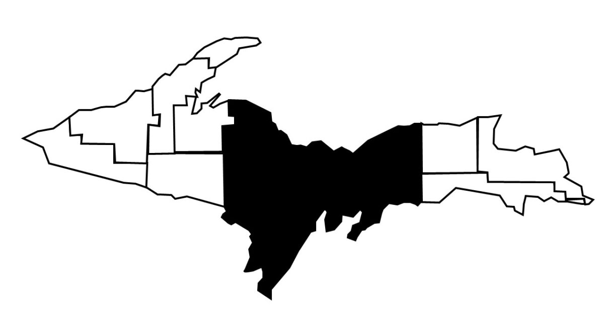
If Michigan’s Upper Peninsula were a target, the blizzard aims directly at the bullseye. The Upper Peninsula, with roughly 300,000 residents, sits directly in the crosshairs of the heaviest snowfall and most intense winds. Communities from Marquette to the Keweenaw Peninsula—stretching across Gogebic, Ontonagon, and Houghton counties—are now under winter storm watches and warnings.
This is the last place you want to be stranded. The region’s isolation and remote geography significantly amplify the storm’s danger. Limited escape routes mean once you’re in, you’re in.
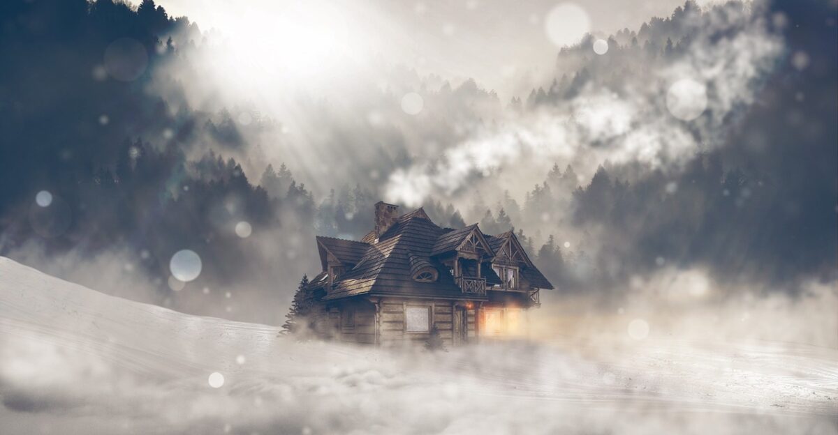
When the Power Goes Out in Subfreezing Darkness

Picture this scenario: It’s Wednesday evening. The temperature has dropped to 20 degrees. Snow is still falling. Wind is still howling. And suddenly, your lights go out. Your heat goes silent. Your phone battery is at 15 percent. You’re in a house with your family. The combination of heavy snow accumulation and violent winds creates perfect conditions for widespread power outages across the region.
Historical precedent from comparable storms suggests 10,000 to 20,000 affected customers face the risk of multi-hour disruptions lasting through Thanksgiving Day. Losing power poses serious survival risks.
Lake Superior Unleashed
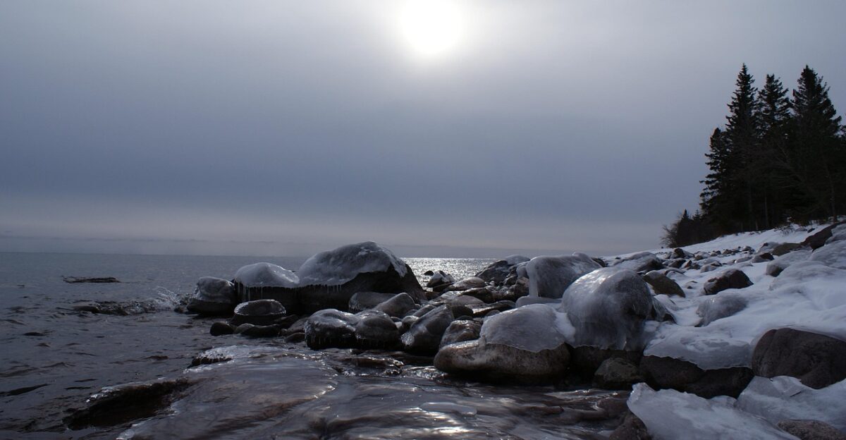
The same systems battering the Upper Peninsula will churn up Lake Superior’s waters with equal fury, generating high waves and powerful winds that pose a threat of minor lakeshore flooding and beach erosion along parts of the shoreline through the holiday. Gale warnings have already been issued for Lake Superior due to powerful waves crashing against coastal landmarks—signaling the broader reach of this weather system.
The Great Lakes are being transformed from sources of beauty into sources of danger. Waves pound shorelines while erosion happens in real time.
Lake-Effect Snow Extends the Nightmare
The main window for the heaviest snow and strongest winds is expected to be Wednesday across the western half of the Upper Peninsula, but lake-effect snow is forecast to persist through Thanksgiving Day and into Friday morning.
Cold air wrapping behind the initial system will interact with Lake Superior, generating bands of intense lake-effect snow that could dump an additional 12 inches or more over northwest wind snow belts through the end of the week. The danger window extends through Friday. This is a 72-hour siege.
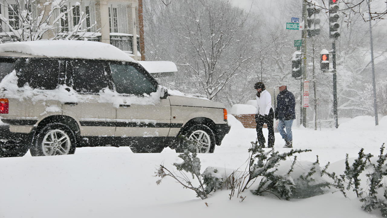
I-75 and US-2: Highway Danger Zones
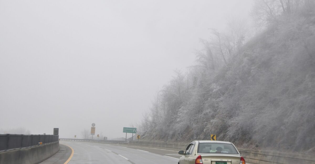
Two arteries pump traffic through Michigan’s Upper Peninsula: Interstate 75 and US Route 2. Both will be transformed into danger zones from Wednesday through Thanksgiving. These primary travel arteries will experience significant whiteout conditions from Tuesday night through the Thanksgiving holiday. Visibility will drop to near zero during the most intense snow bands, making safe travel extremely difficult.
State police and emergency management officials are already preparing for disabled vehicles, accidents, and stranded motorists throughout the peak travel window.
The Choice: Move Now or Stay Put

The National Weather Service message is unambiguous: Tuesday offers the final window for safe travel before conditions deteriorate dramatically. This is it. Today. Right now. Those unable to travel today should strongly consider postponing plans to after Thursday evening, when conditions are expected to improve gradually.
There is no middle ground. There is no “we’ll see how it goes.” Either you leave today, or you commit to staying put and weathering the storm where you are. Move now or settle in for a memorable Thanksgiving.