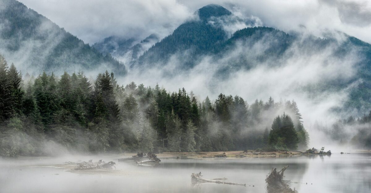
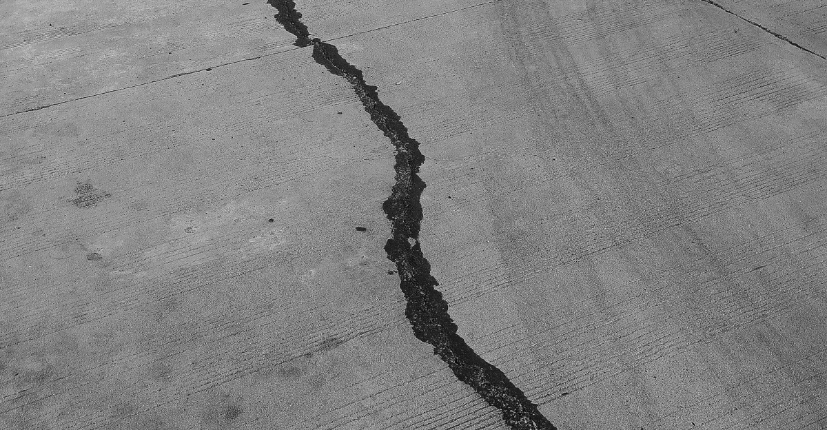
A strip of gray ocean water trembles as whitecaps pummel the coastline, each surge lifting and dropping in uneven rhythm—subtle signs of strain building along a 600-mile fault hiding beneath the Pacific Northwest. Scientists confirm this boundary has been locked for over three centuries, storing energy capable of producing minutes of violent shaking when it finally ruptures.
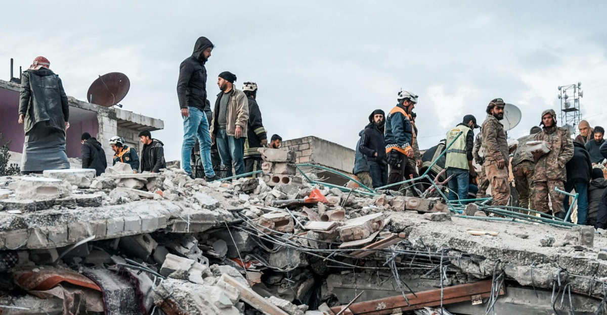
In that moment, the region’s cities, forests, and coastlines could change in minutes, according to U.S. Geological Survey findings. A rupture of this size would represent one of the most powerful geological events possible on Earth, reshaping the region’s physical and social landscape almost instantly.
The Probability Question

In mid-November 2025, routine tremor activity rattled the southern Cascadia Subduction Zone, with more than 177 small epicenters recorded. These slow-slip events occur roughly every 14 months and indicate deep, persistent fault motion far below the surface.
The U.S. Geological Survey estimates a 10–15 percent probability of a magnitude-9 rupture within 50 years. If triggered, the quake could produce three to six minutes of intense shaking—far longer and more destructive than the short bursts typical of California earthquakes.
Historical Precedent
The last Cascadia megathrust earthquake struck on January 26, 1700, producing an estimated magnitude between 8.7 and 9.2. Japanese historical documents describe a mysterious tsunami hitting their coast that same day without any felt local quake, pointing scientists directly to Cascadia.
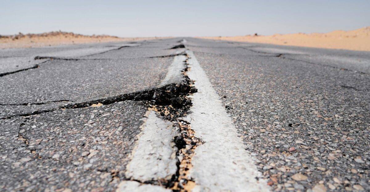
With 324 years now passed, the fault sits squarely within its recurrence window of 243 to 500 years. Geological evidence shows sudden coastal land drops, drowned forests, and tsunami sand deposits marking the 1700 rupture.
Mounting Scientific Understanding

Research in 2025 dramatically advanced understanding of Cascadia’s structure. A June NSF study revealed the megathrust includes at least four independently behaving segments—each capable of partial or full-margin rupture.
In October, LSU scientists found Cascadia is “actively breaking apart” through a step-by-step termination process, while November research identified rapid fault-healing mechanisms influencing deep slow-slip events. Together, these discoveries confirm Cascadia is neither simple nor quiet—it is dynamic, complex, and evolving.
The Core Threat Revealed
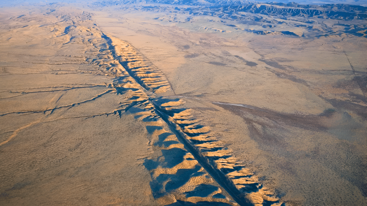
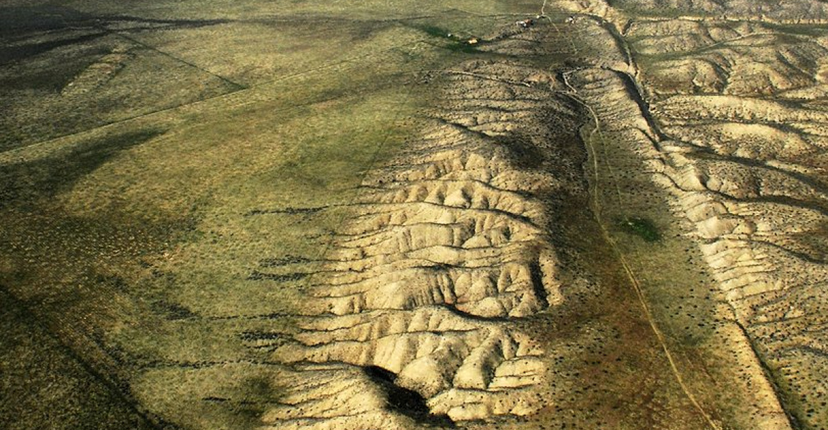
The Cascadia Subduction Zone spans 600 miles from Northern California to British Columbia, where the Juan de Fuca Plate dives beneath North America at 25–45 millimeters per year. Because this boundary is largely locked, strain accumulates for centuries.
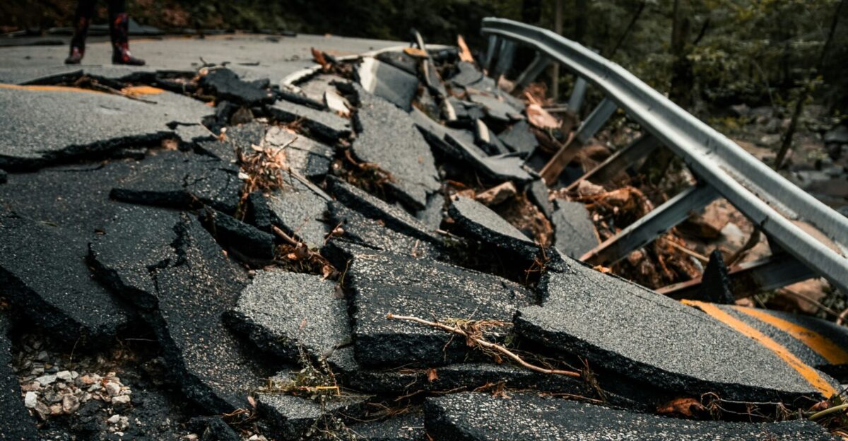
When it ruptures, shaking lasting four to six minutes could affect the entire Pacific Northwest. Coastal land may drop 1.5 to 6.5 feet in minutes, altering shorelines and increasing tsunami reach. Unlike the frequently slipping San Andreas Fault, Cascadia fails all at once.
Regional Vulnerability
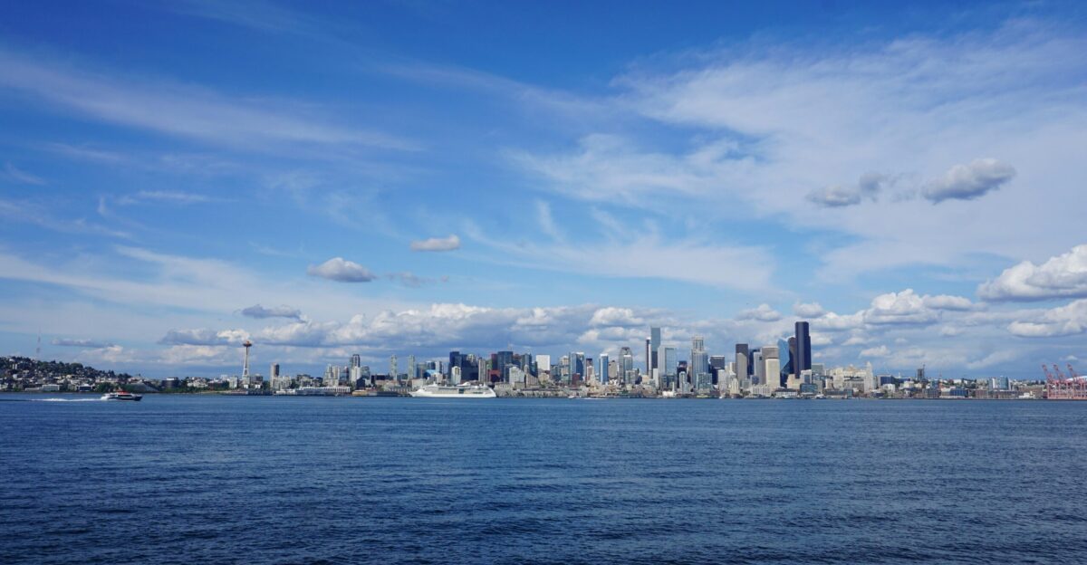
More than 10 million people live within the intense-shaking corridor, while approximately 14 million across the broader Pacific Northwest region reside in earthquake-prone areas. Cities like Seattle, Portland, and coastal towns sit on soft soils that amplify shaking.
Much of the region’s infrastructure predates modern seismic standards. Airports, bridges, ports, and rail lines may experience simultaneous failure. Transportation shutdowns would isolate communities, making emergency response extremely difficult in the days and weeks following the rupture.
Human Toll Projections
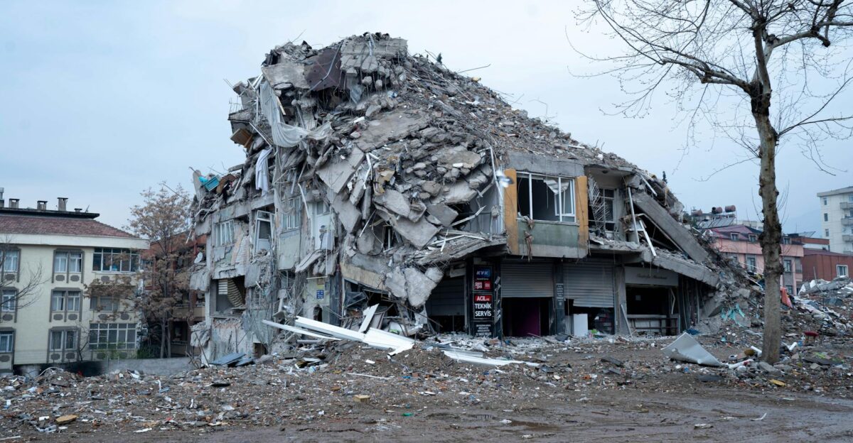
FEMA’s worst-case scenario estimates 14,000 deaths and widespread displacement of households. More than 618,000 buildings could be damaged or destroyed. The economic toll is projected to exceed $134 billion, with broader losses potentially reaching hundreds of billions.
USGS seismologist Art Frankel reiterates a 10–14 percent chance of a magnitude-9 event within 50 years. With low earthquake-insurance coverage across the region, millions could face long-term financial hardship even if they survive physically.
Cascading Failure Risk
A 2025 AGU Advances study revealed that three of the last five great Cascadia earthquakes were followed by ruptures on the San Andreas Fault within years. This raises the possibility of sequential disasters impacting the entire West Coast.
Such a multi-fault event could affect up to 30 million people across several states, overwhelming emergency systems. While not guaranteed, the possibility underscores the interconnected nature of tectonic stress along the Pacific margin.
Global Context
Cascadia lies along the Pacific Ring of Fire, where 90 percent of the world’s earthquakes occur. Japan’s 2011 Tohoku quake—magnitude 9.1—demonstrated the catastrophic potential of megathrust ruptures even in highly prepared nations.
The Pacific Northwest lacks Japan’s level of seismic retrofitting, early-warning systems, and generational public awareness. A Cascadia event could produce even greater infrastructure disruption, given the U.S.’s slower adaptation to megathrust risks.
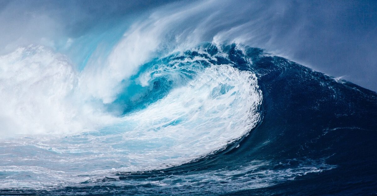
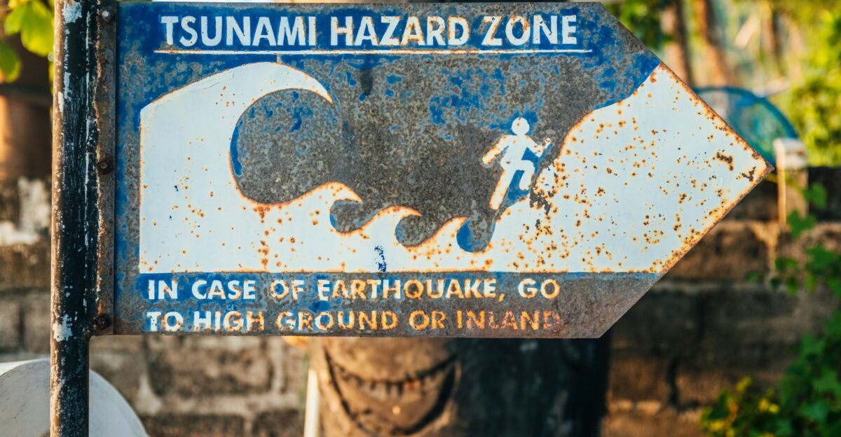
The Tsunami Wildcard
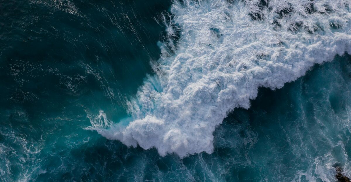
A full Cascadia rupture would generate a tsunami between 20 and 100 feet high, reaching the coast within 10–30 minutes. Communities like Seaside, Oregon, and Long Beach, Washington, sit at sea level with limited evacuation routes.
Modeling based on the 1700 event and the 2011 Tohoku tsunami shows waves could travel several miles inland. Combined with coastal subsidence, some neighborhoods may never be rebuilt, as the landscape is permanently reshaped by flooding and erosion.
Preparedness Gaps
A 2025 national assessment found many counties lack sufficient emergency plans, evacuation routes, or communication systems. Many schools conduct drills in buildings that do not meet modern seismic standards.
Coastal hospitals face immediate tsunami risks with limited backup facilities. Scientists warn the region remains years behind in readiness, with rural and low-income areas disproportionately vulnerable to long-term isolation.
Federal Response Strategy
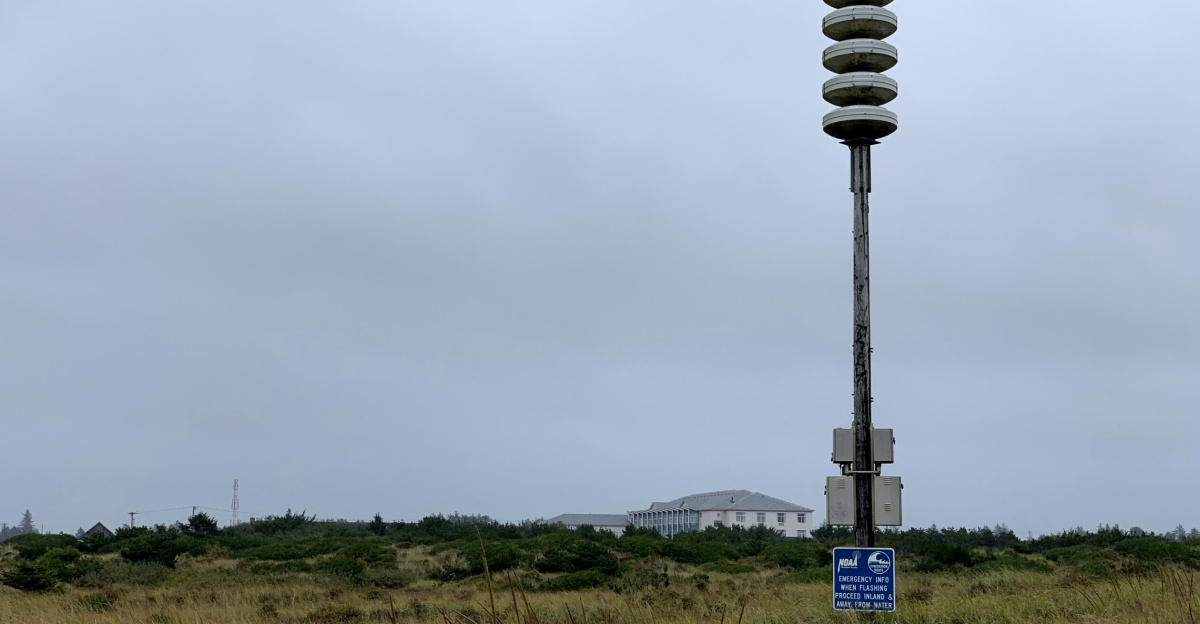
In November 2025, Senator Maria Cantwell questioned NOAA over cuts to West Coast tsunami-alert funding. These reductions threatened ShakeAlert early-warning capabilities that could offer seconds of life-saving notice.
FEMA’s Region 10 Cascadia plan exists but assumes partial infrastructure functionality—an assumption experts say is overly optimistic. Federal drills reveal ongoing challenges in communication, logistics, and resource distribution during large-scale disasters.
Community-Level Adaptation
Oregon has committed over $770 million to retrofit public schools and emergency facilities, with the latest round allocating $70 million in 2025 for 30 new projects. Seattle mandates upgrades for more than 1,100 unreinforced masonry buildings, among the most vulnerable structures during long shaking.
Some coastal towns have created vertical evacuation shelters and improved tsunami route signage. However, many rural and low-income communities lack funding, leaving progress uneven across the region.
Expert Outlook
Seismologists consistently emphasize that Cascadia will rupture again—it is a matter of when, not if. Each passing year adds strain along the fault, increasing eventual shaking intensity.
Predicting timing is impossible with current technology. The earthquake could strike tonight or remain locked for another century. Experts argue that preparedness investments must continue despite this uncertainty, because megathrust quakes rarely provide warning.
The Insurance Dilemma
Only about 13 percent of residents in Oregon and Washington carry earthquake insurance. With deductibles often between 15 and 25 percent of a home’s value, many families cannot afford coverage.
With 5–8 million homes across the broader Cascadia region, uninsured losses could total trillions of dollars. Recovery will strain federal, state, and local budgets, raising questions about how much taxpayers can realistically support in the aftermath.
Political Inertia
Despite broad agreement on Cascadia’s danger, preparedness funding remains inconsistent. Congress tends to allocate resources reactively—after disasters, not before them.
Although the 2021 Infrastructure Act includes seismic measures, implementation is slow. State budgets consistently prioritize immediate needs such as education and healthcare, leaving seismic resilience underfunded and politically sidelined.
International Implications
British Columbia faces hazards comparable to Washington and Oregon, particularly around Victoria and Vancouver Island. A 2025 Nature study highlighted the region’s exposure to complex megathrust behavior.
Any major Cascadia event would require cross-border cooperation as infrastructure collapses. Japan, drawing on its 2011 experience, has offered technical support for early-warning improvements, and global seismologists monitor Cascadia as a key case study.
Environmental Aftermath
A major earthquake would reshape ecosystems. Coastal subsidence could permanently flood wetlands, farmlands, and low-lying forests, shifting the boundary between land and sea.
Industrial spills, ruptured pipelines, and damaged port facilities could contaminate waterways. Saltwater intrusion may degrade soils and kill old-growth forests. Ecologists warn that invasive species may thrive in the altered landscape, complicating long-term recovery.
Generational Awareness Shift
Awareness surged after the 2015 New Yorker article “The Really Big One.” Younger residents increasingly consider earthquake danger when choosing where to live or work.
Social media amplifies every tremor, spreading both preparedness tips and fatalistic speculation. Schools now teach earthquake safety alongside fire drills, embedding seismic awareness into the next generation.
Living With Uncertainty
Cascadia highlights the tension between human timeframes and geological cycles. While cities evolve over decades, tectonic pressures build slowly over centuries. The silence since 1700 signals not safety but accumulating danger.
How effectively the Pacific Northwest prepares will determine whether the next rupture becomes a survivable disaster or a historic national tragedy. The clock isn’t ticking—pressure is quietly rising beneath millions of people.