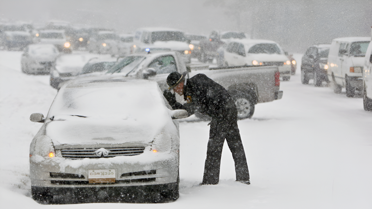
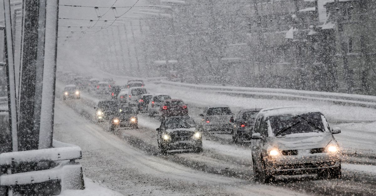
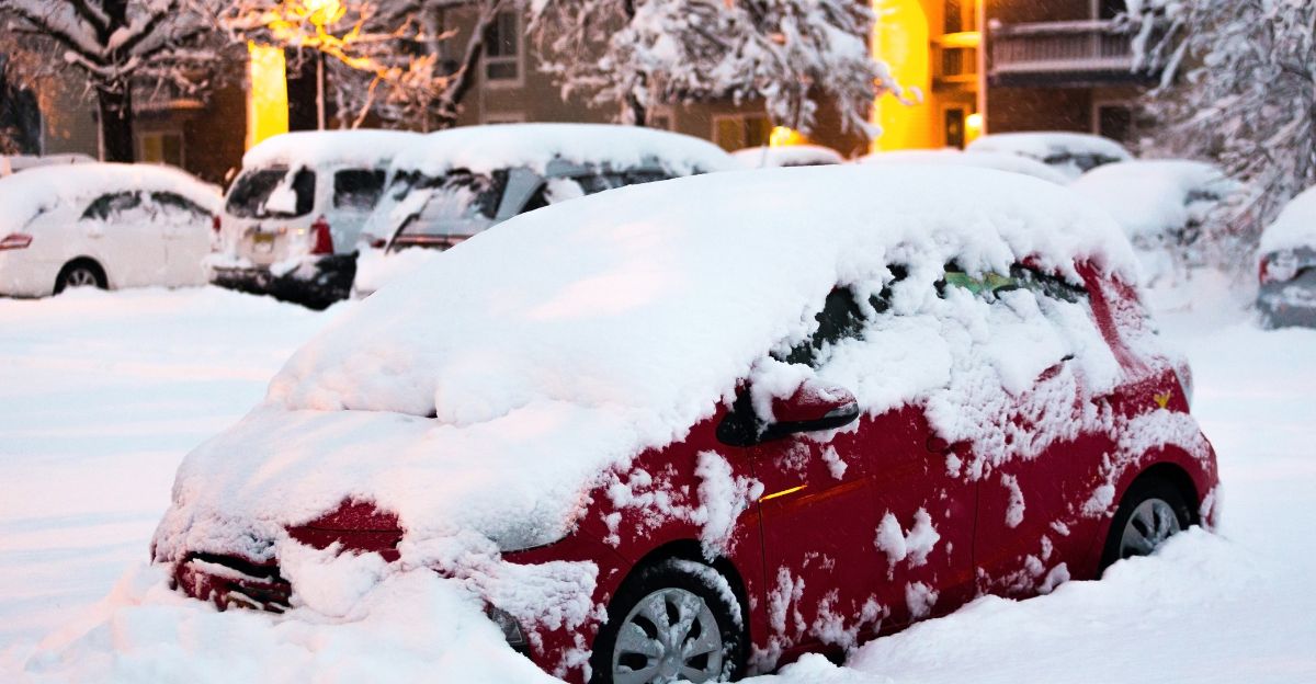
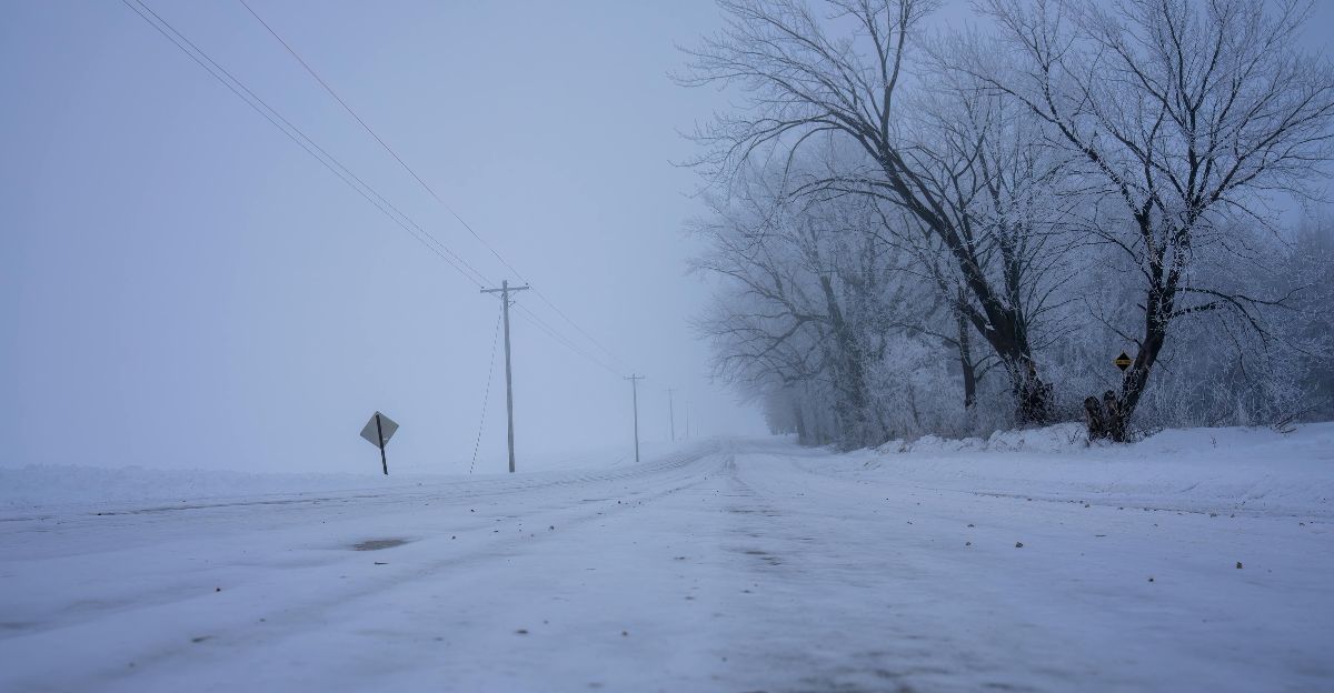
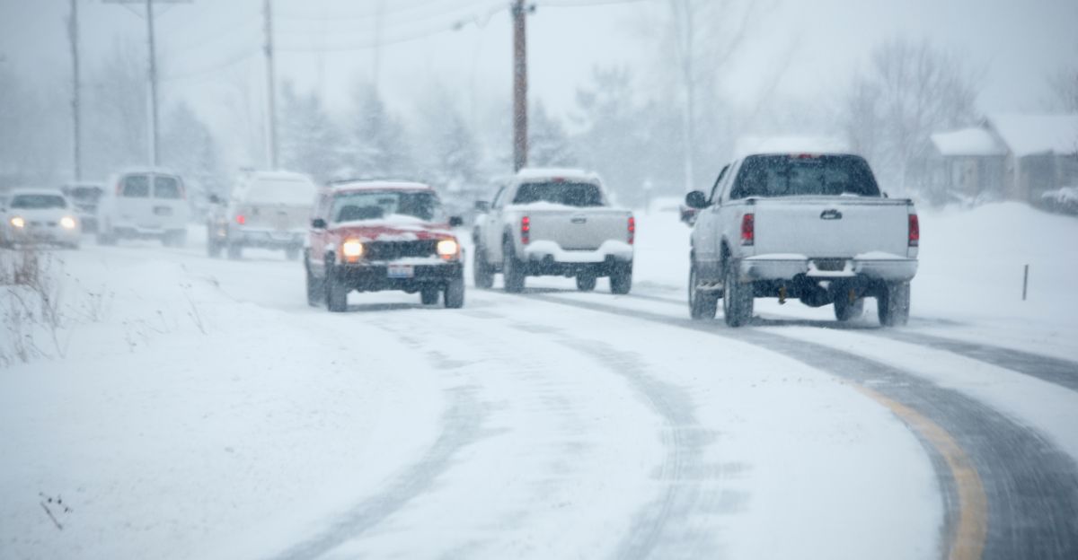
Snow blasted across Midwest highways as headlights vanished into whiteout bands, leaving thousands of Thanksgiving travelers creeping forward through the storm.
Gusts strong enough to sway SUVs sent sheets of powder tumbling across the road, and airport departure boards filled with delays as crews worked to de-ice grounded planes.
Forecasters say two storm systems are converging during one of the busiest travel weeks of the year, with AccuWeather’s Geoff Cornish warning that the polar vortex is “spinning its wheels over eastern North America.” What happens when both systems collide over major travel corridors?
Record Travel Meets Severe Weather
AAA projects 82 million Americans will travel for Thanksgiving 2025, the highest volume ever recorded. Two storm systems are expected to strike from Monday through Thursday, November 24-27, during peak travel days. The first brings heavy rain to southern regions and the Northeast on Tuesday.
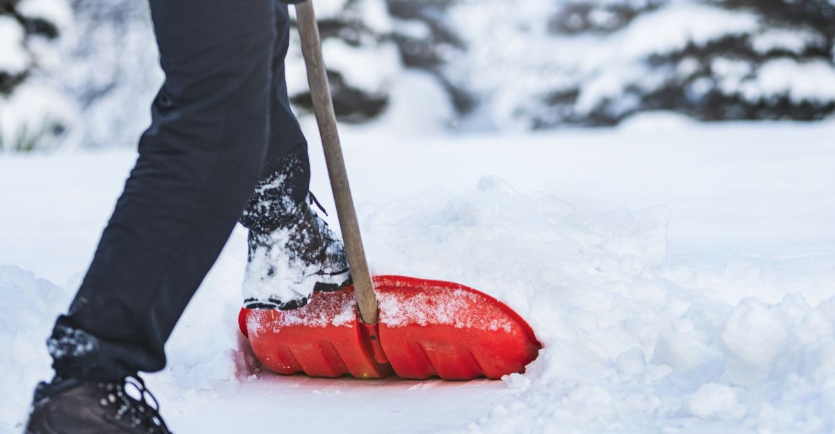
The second, more severe system arrives on Wednesday with up to 8 inches of snow, dangerous winds, and potential blizzard conditions across the Midwest and northern states, creating unprecedented holiday travel chaos.
73.8 Million Drivers in Danger
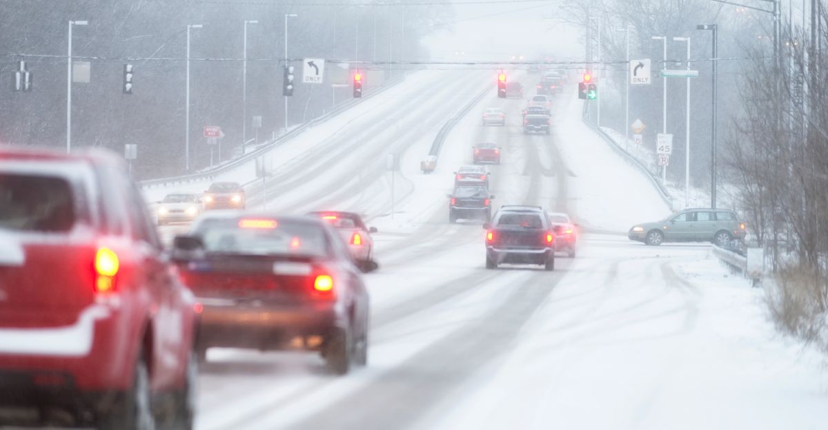
Approximately 90% of Thanksgiving travelers—roughly 73.8 million Americans—will travel by car, placing them directly in the path of both storm systems. During peak storm hours, up to 1 million vehicles could be on the roads simultaneously in affected states.
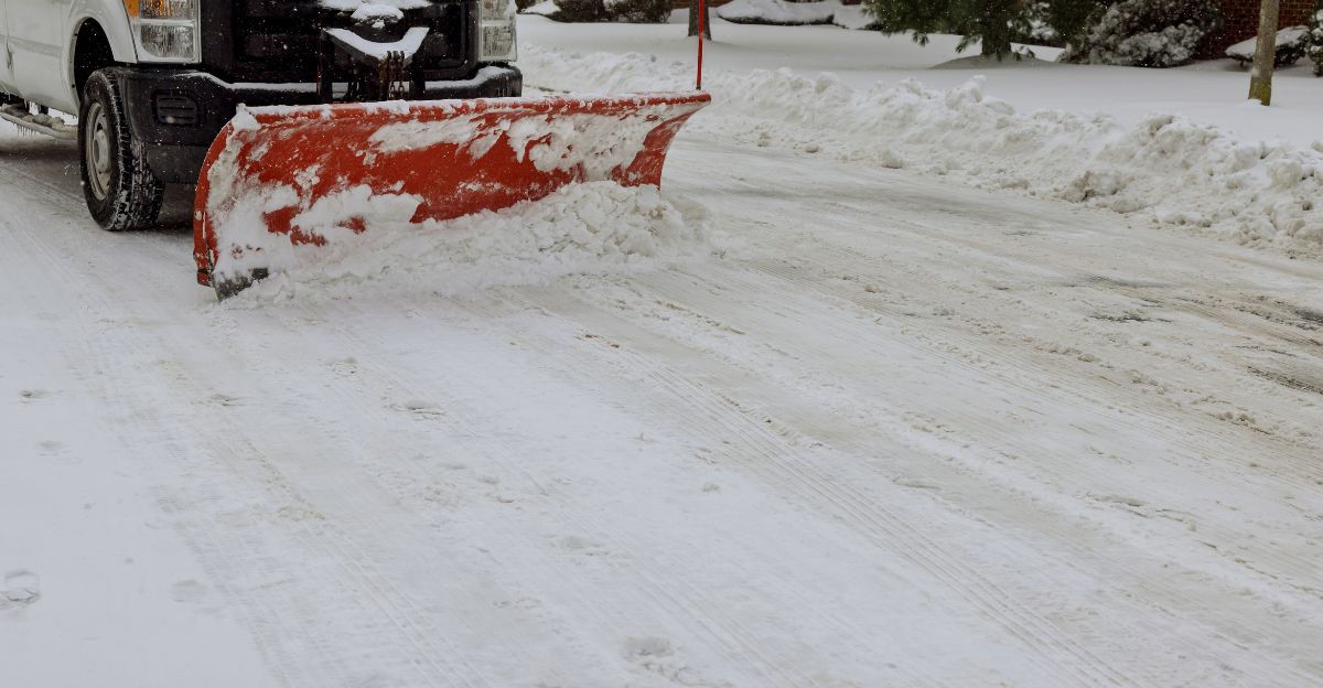
Heavy snow, winds meeting blizzard criteria, and near-zero visibility will make highway travel extremely hazardous, particularly on Interstate 80 through Iowa and major routes across northern Michigan, Minnesota, and New England.
High-Risk Zones Identified
An estimated 15-20 million people reside in the highest-risk areas, including Iowa, northern Michigan, Minnesota, and northern New England.
Central Iowa is facing the heaviest snowfall, with potential Interstate 80 closures. Northern Michigan is expecting up to 8 inches, plus lake-effect enhancement. Minnesota faces potential blizzard conditions on Wednesday.
Vermont, New Hampshire, and Maine face dangerous mountain pass conditions. The storm tracks southwest across the central U.S., pushing northeast through these populated corridors.
The Snow Transition Threat
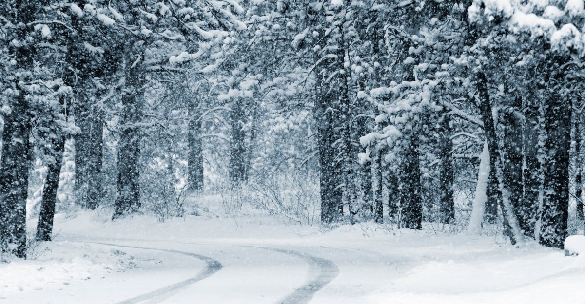
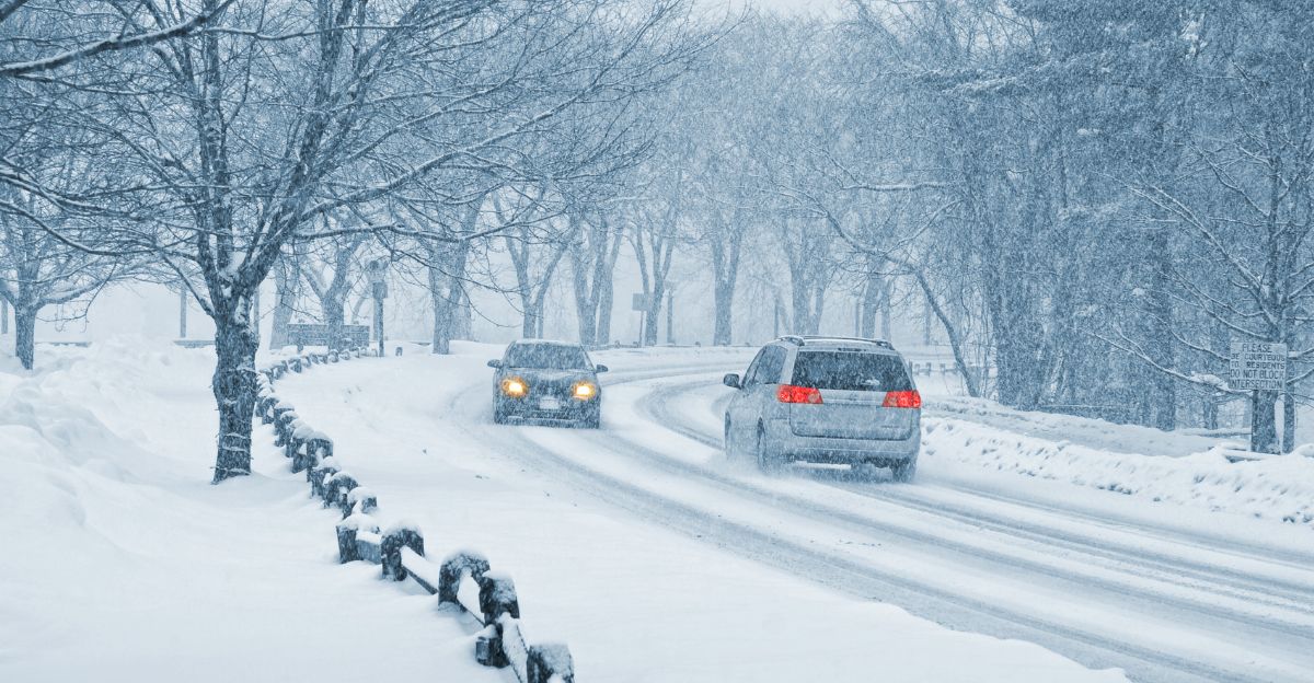
Snowfall will display dangerous dual characteristics: initially heavy and wet, then transitioning to powdery flakes as temperatures drop and winds increase.
Heavy, wet snow burdens vehicles, reducing traction. Powdery snow amplifies visibility degradation and drift formation. Wind speeds forecast to reach or exceed 35 mph—meeting blizzard criteria thresholds when combined with falling/blowing snow.
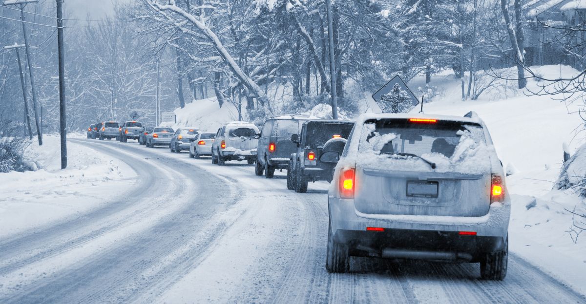
Some areas face near-zero visibility conditions, creating whiteout scenarios and posing an extreme risk of accidents during peak travel on Wednesday afternoon.
Blizzard Criteria
Blizzards require three simultaneous conditions: falling or blowing snow, winds ≥35 mph, and visibility ≤¼ mile for 3+ hours. Current forecasts indicate Wednesday’s system will likely meet these thresholds across Iowa, Minnesota, and northern Michigan.
While formal blizzard warnings haven’t been universally issued, meteorologists emphasize conditions “cannot be ruled out.”
The combination creates life-threatening travel scenarios: vehicle pile-ups, stranded motorists, reduced emergency response, and potential fatalities across multiple states.
Polar Vortex Amplifies Crisis
An unusually early polar vortex is “spinning its wheels over eastern North America,” according to AccuWeather’s Geoff Cornish. Typically, a January concern, this early activation amplifies Arctic air surges into populated regions.
A rare stratospheric warming event has weakened containment, allowing frigid air to push southward. Central regions will experience temperatures 15-25°F below average from November 25-29, ensuring precipitation falls as heavy snow rather than rain, which will maximize travel disruptions during the peak Thanksgiving movement.
Airport Chaos Looms
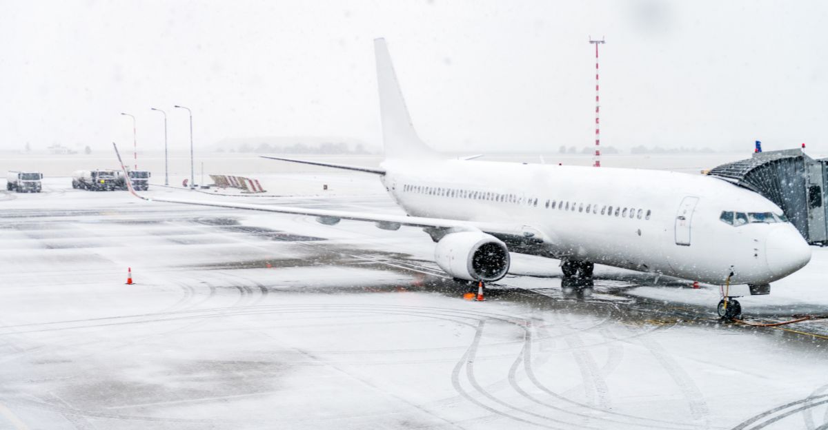
The 6 million Americans flying for Thanksgiving face widespread delays and cancellations, with 25-40% of flights potentially impacted in affected regions.
Wednesday, November 26, is expected to be the worst day for air travel, coinciding with the heaviest snowfall and the highest passenger volumes. Major Midwest and Northeast hubs—Chicago O’Hare, Minneapolis-St. Paul, Detroit, Boston—could experience cascading delays rippling nationwide.
Amtrak’s Northeast Corridor and Midwest routes are expected to face similar severe disruptions throughout the holiday period.
Worst and Best Travel Windows
Worst travel days: Tuesday afternoon (November 25) brings peak road congestion; Wednesday (November 26) features major airport delays and the heaviest storm impacts; Sunday (November 30) is the busiest return day nationwide.
Better windows: travel before noon on Tuesday or Wednesday, Thursday morning after systems pass, or Friday/Saturday for returns.
Travelers with schedule flexibility should consider departing on Monday or delaying their trip until Friday to avoid the most hazardous conditions entirely.
Emergency Preparation Checklist

Drivers must check travel advisories continuously, factor in double normal driving time, and pack emergency supplies: blankets, food, water, phone chargers, and first aid kits.
Ensure vehicles are winter-ready with proper tires and fluids. Air travelers should book early flights, build connection buffers, purchase travel insurance, and prepare for potential overnight airport stays.
All travelers: monitor forecasts hourly, sign up for weather alerts, share detailed itineraries, and maintain half-full gas tanks at a minimum.
Why This Year Is Different
Five factors create unprecedented 2025 conditions: a record 82 million travelers, a rare early-season polar vortex disruption, perfect storm timing during peak travel days, a widespread geographic impact affecting multiple population centers simultaneously, and an extended cold pattern persisting into December.
Meteorologists emphasize that even brief periods of rain and snow during heavy travel can create significant disruptions across major corridors. The combination of maximum human movement and maximum weather severity creates historic risk levels unseen in previous holiday seasons.
Economic Impact Beyond Travel
The Thanksgiving weekend typically generates billions of dollars through the travel, lodging, dining, and retail sectors. Storm disruptions threaten hotel bookings, restaurant reservations, Black Friday shopping participation, and create massive airline refund obligations.
Emergency services face budget strains responding to weather incidents. One positive: car rental prices are down 15% versus last year, making alternative transportation more accessible.
However, overall economic losses from cancelled trips and disrupted commerce could reach hundreds of millions of dollars across affected states.
Forecast Uncertainty Factors

Meteorologists monitor variables that could dramatically shift outcomes: storm track precision (50-100 mile deviations can change rain to heavy snow), polar vortex evolution affecting cold air intensity, lake-effect snow potential adding substantial accumulation beyond base forecasts, and jet stream positioning determining precipitation boundaries.
Forecast confidence increases as events approach, but with several days remaining, significant forecast adjustments remain possible. Travelers should check updates every 6-12 hours for the latest information before departing.
Expert Warnings Intensify
“There’s a storm system getting ready to move into the west as we step into next week. The polar vortex, the swirl of the coldest air, is generally spinning its wheels out over parts of the eastern sections of North America,” warns AccuWeather meteorologist Geoff Cornish.
Experts emphasize that conditions could deteriorate rapidly on Wednesday. What appears manageable today could become dangerous within hours. The National Weather Service urges travelers to reconsider the necessity of their trip given the evolving severe weather threats.
What to Monitor Now
Check NOAA and National Weather Service forecasts for your specific route every 6 hours. Sign up for weather alerts via phone apps and local emergency services. Monitor real-time traffic cameras on state DOT websites for actual road conditions.
Follow airline social media for flight status updates. Join AAA or an alternative roadside assistance before departing.
Download offline maps in case your cellular network becomes overwhelmed. Identify alternative routes and emergency shelter locations along your travel path before leaving home.
The Bottom Line
With 82 million Americans traveling—73.8 million by car—during two converging storm systems and a destabilized polar vortex, Thanksgiving 2025 presents unprecedented challenges.
Weather experts urge immediate action: check advisories, monitor the situation continuously, build in extra time, pack emergency supplies, have backup plans, and honestly assess whether the risks justify the trips.
Conditions could change rapidly. Those who must travel should depart early, avoid Wednesday entirely, and prepare for worst-case scenarios, including overnight road strandings.