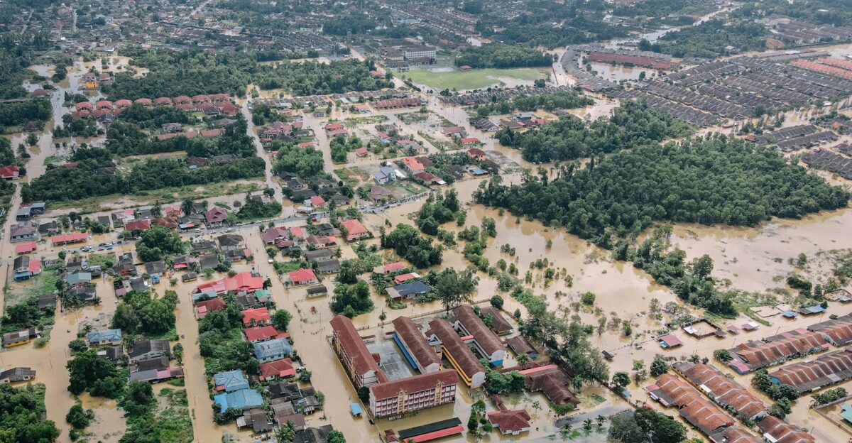
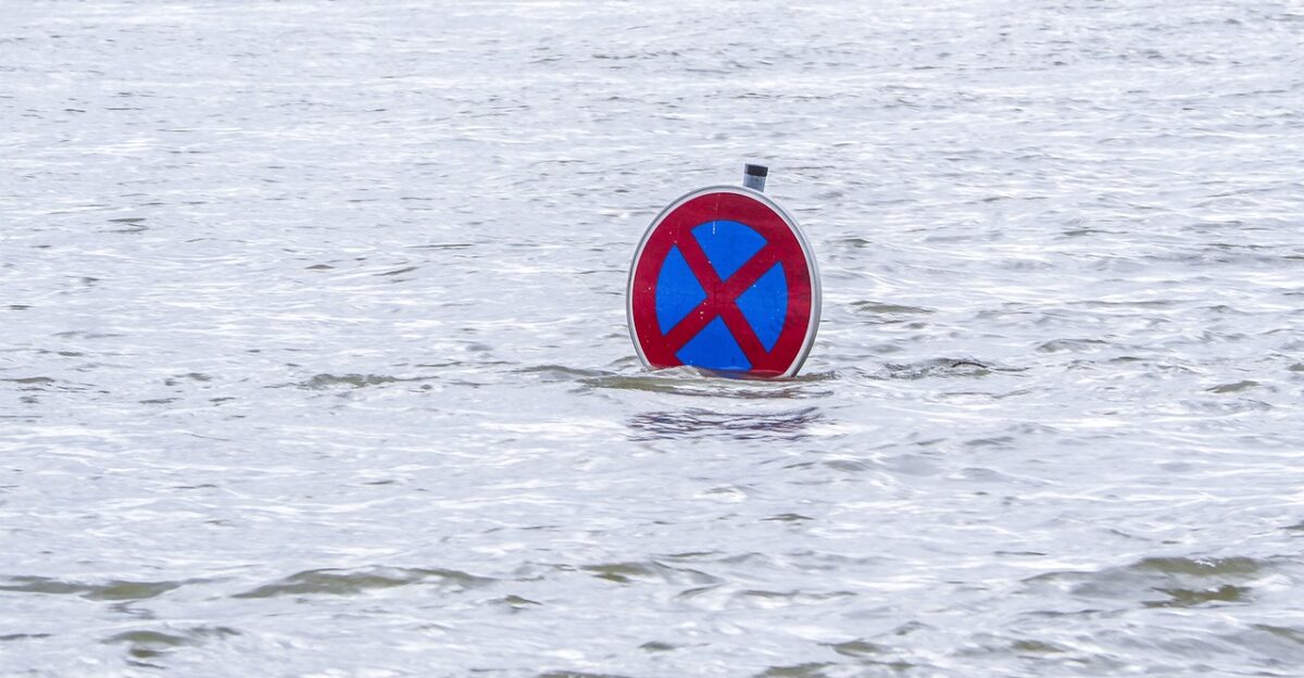
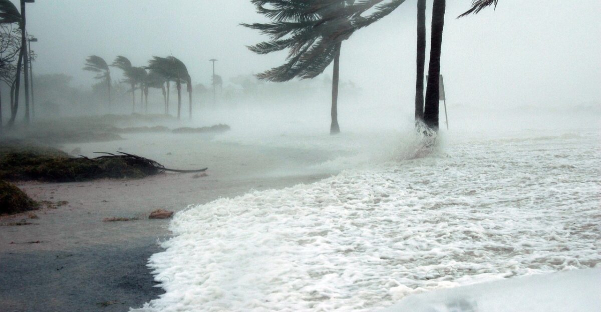
A mighty atmospheric river slammed California between November 13-17, 2025, killing six people and placing 20 million residents under flood watches across seven counties. The storm dumped over six inches of rain in Santa Barbara County, triggered 15-20 foot waves along the Monterey coast, and closed major highways throughout the Coachella Valley.
Downtown Los Angeles shattered its 1952 daily rainfall record on November 16, while the National Weather Service issued urgent warnings about a third storm system approaching Thursday.
Why This Storm Hit So Hard
Atmospheric rivers, narrow bands of moisture-laden air from tropical Pacific waters, carry water vapor equivalent to many times the flow of the Mississippi River, according to climate researchers. Warming ocean temperatures are supercharging these systems, making them deadlier and costlier with each event.
This particular system stalled over Southern California for three days, saturating soil already destabilized by recent wildfires in Pacific Palisades and Eaton fire zones, creating perfect conditions for debris flows and mudslides.
Families Face Tragedy on California Beaches

Yuji Hu, 39, from Calgary, died attempting to save his seven-year-old daughter Anzi from 20-foot waves at a Monterey County beach on November 15. The girl’s body was recovered two days later after an extensive Coast Guard search.
The Monterey County Sheriff’s Office warned beachgoers to stay away from the water as dangerous surf conditions persisted through the weekend. The family had been visiting California on vacation when the tragedy struck during the storm’s peak intensity.
Flood Deaths Span State From North to South
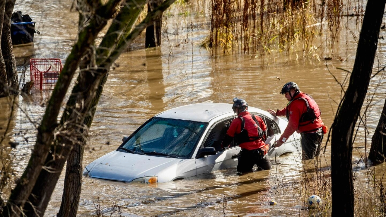
Arnold Jee, 71, of Sutter County, died when his vehicle was swept off the flooded Pleasant Grove Creek Bridge north of Sacramento on November 15, with California Highway Patrol reporting 2-3 feet of water over the roadway.
Four migrants died when their boat capsized in stormy seas off Imperial Beach near San Diego that same weekend, with four others hospitalized. The deaths spanned over 500 miles of California coastline, illustrating the storm system’s massive geographic reach and varied deadly impacts.
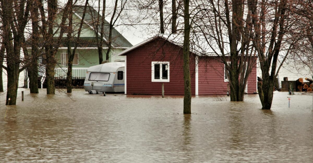
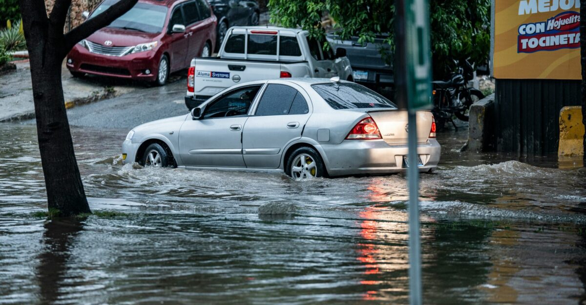
Desert Communities Underwater as Flash Floods Strike

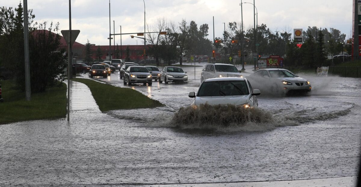
The Coachella Valley, typically one of California’s driest regions, experienced widespread flooding that closed Indian Canyon Drive, Gene Autry Trail, and Vista Chino on November 15 and 16. Maria Juarez of Desert Hot Springs told local reporters her family member was stranded in floodwater near Thousand Palms, unable to move their vehicle.
Multiple cars became stuck in mud throughout Palm Springs as normally dry washes transformed into rushing torrents. Emergency crews conducted numerous rescues of motorists trapped by rapidly rising water.
Record Rainfall Rewrites California Weather History
Santa Barbara County recorded 6.67 inches of rain over three days at the airport, while downtown Los Angeles received 1.65 inches on November 16, breaking a 73-year-old daily record set in 1952. The Los Angeles basin accumulated 2.75 inches of rainfall between Friday and Saturday, representing months of normal rainfall compressed into 48 hours.
Weather historians have noted that the November deluge ranks among the wettest mid-autumn periods on record for Southern California, with some mountain areas in the Sierra Nevada receiving over a foot of snow.
Wildfire Survivors Now Face Mudslide Nightmare

Communities recently ravaged by wildfires faced heightened debris flow risks as the National Weather Service warned Monday that “it will not take as much rainfall to cause additional flooding/rockslide conditions” due to saturated ground.
Evacuation warnings remained active for 400,000-600,000 residents in burn scar areas around Pacific Palisades and the Eaton fire zones. Fire-stripped hillsides lost their root systems, which typically stabilize the soil, transforming rain from welcome relief into a potentially deadly threat as thunderstorms lingered through Tuesday.
NWS Issues Unprecedented Multi-Day Warnings
The National Weather Service placed Los Angeles, Ventura, Santa Barbara, Orange, San Diego, Riverside, and San Bernardino counties under flood watches affecting approximately 20 million people, one of the most significant population totals ever covered by a single weather event in California history.
The Weather Prediction Center issued a Level 3 out of 4 flash flood risk rating for the Los Angeles area. Forecasters extended warnings through Tuesday as lingering thunderstorms continued to threaten additional mudslides, marking an unusually prolonged threat period for the region.
Third Storm Threatens Thanksgiving Week Plans
Meteorologists forecast a second storm system arriving Monday, November 18, followed by a potentially stronger third system late Thursday, November 21, just two days before Thanksgiving. The rapid succession of atmospheric rivers gives saturated ground no time to drain, exponentially increasing mudslide and flood risks.
Weather models showed the Thursday system could bring another 2-4 inches of rain to already-drenched areas. California emergency management officials urged residents to finalize holiday travel plans early or consider postponing nonessential trips through the extended storm period.
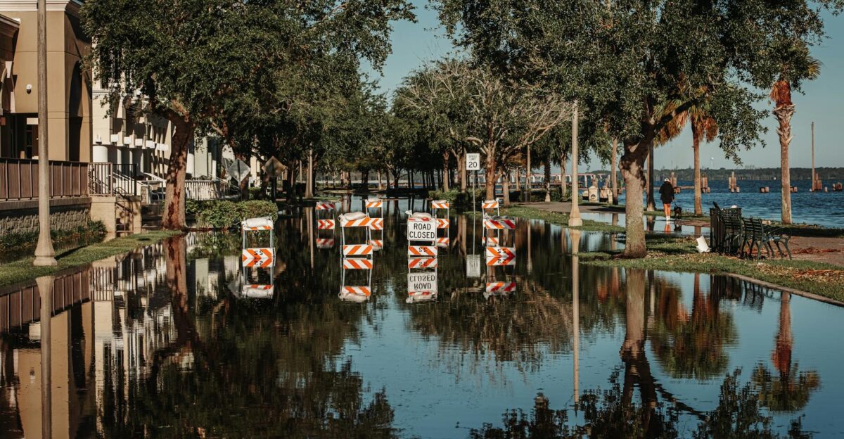
Transportation Infrastructure Faces Extended Shutdown
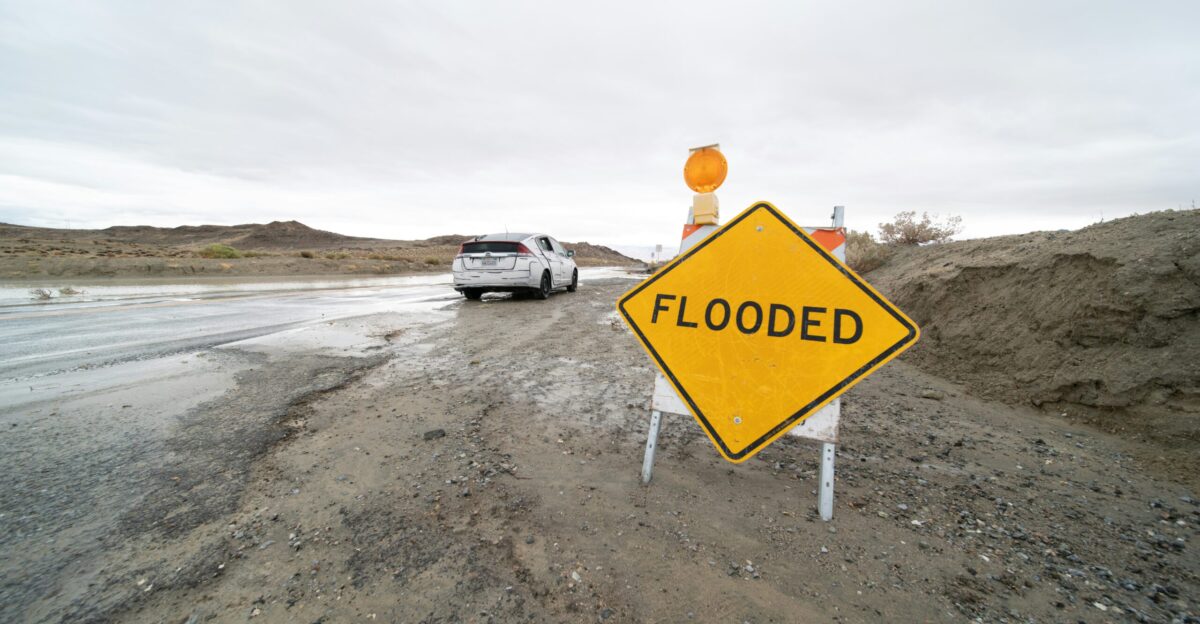
Topanga Canyon Boulevard, a critical connector between the San Fernando Valley and Pacific Coast Highway, remained closed through the weekend, forcing detours exceeding 30 miles for coastal commuters. Dozens of roads throughout the Coachella Valley stayed impassable Monday as crews worked to clear mud and debris.
California Department of Transportation reported over 15-20 major highway closures across affected counties, with some mountain routes requiring days of repair work. Authorities urged residents to avoid all nonessential travel as emergency vehicles struggled to reach stranded motorists.
Climate Crisis Reshapes California’s Water Paradox
Climate scientists note the cruel irony: atmospheric rivers provide 30-50% of California’s annual water supply and are vital to replenishing reservoirs, yet warming oceans are intensifying these systems into destructive forces.
The same storms that break droughts now break infrastructure, lives, and records. Research indicates that atmospheric rivers have become 10-15% wetter over the past four decades, coinciding with a rise in Pacific Ocean temperatures. California faces a future where its primary water source arrives in increasingly violent, deadly pulses rather than manageable rain events.
Migrant Boat Tragedy Highlights Border Storm Risks
The capsizing of a migrant boat off Imperial Beach during the storm killed four and hospitalized four others, prompting renewed attention to the dangers smugglers face or ignore when transporting people across the border during severe weather.
The U.S. Coast Guard arrested a man in connection with the incident on charges related to the smuggling operation. Border security experts noted that storm conditions create both opportunity and peril: rough seas deter patrol efforts but exponentially increase drowning risks for passengers in unseaworthy vessels.
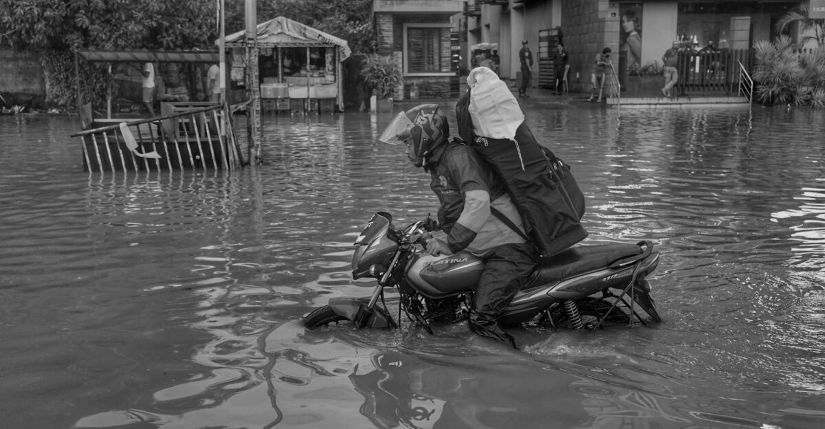
Emergency Services and Insurance Companies Scramble
California emergency crews conducted hundreds of swift-water rescues across seven counties, stretching resources thin as simultaneous incidents overwhelmed 911 systems. Insurance companies braced for claims potentially reaching $50-150 million across flood damage, vehicle losses, coastal erosion, and infrastructure repairs.
Home insurance policies typically exclude flood damage, leaving many homeowners dependent on federal disaster declarations for relief. Emergency management officials noted that the rapid succession of storms prevents adequate resource repositioning between events, creating a cascading strain on first responders who are already exhausted from the wildfire season.
What California Residents Should Do Now

Authorities urge residents in flood watch areas to prepare emergency kits with three days’ worth of supplies, identify evacuation routes, and sign up for local emergency alerts before the storm arrives on Thursday. Those in wildfire burn scar zones should have go-bags ready and monitor county emergency websites for evacuation orders, which can escalate from warnings within hours.
Motorists should never attempt to cross flooded roadways. Six inches of moving water can knock down an adult, while 12 inches can sweep away most vehicles. Check road conditions at Caltrans QuickMap before travel.
California Faces a New Climate Reality
Six deaths, 20 million people under watches, and a third storm approaching California’s mid-November atmospheric river sequence illustrate how climate change transforms weather patterns from predictable to punishing. The state’s water infrastructure was designed for a 20th-century climate that no longer exists, with reservoirs, channels, and flood control systems overwhelmed by intensified storms.
As meteorologists track the Thursday system, one thing becomes clear: California must adapt not just to more frequent droughts and wildfires, but to the violent storms that now bookend them, arriving with less warning and greater fury than historical norms predicted.