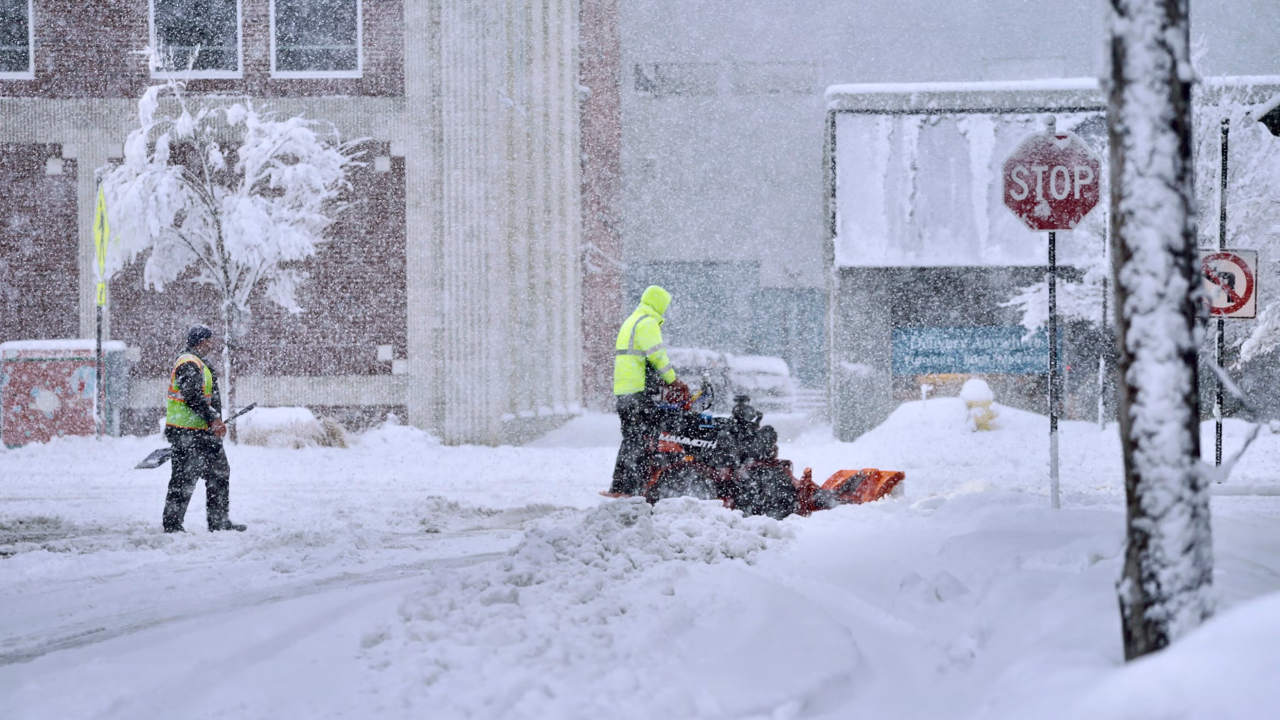
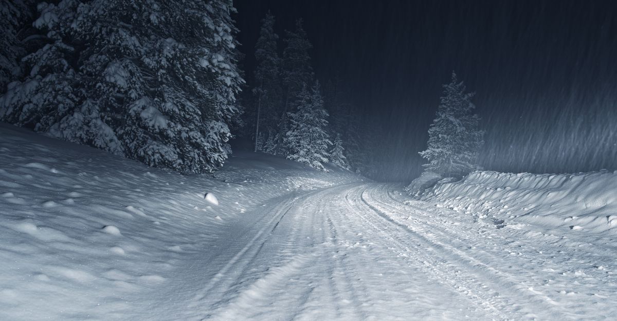
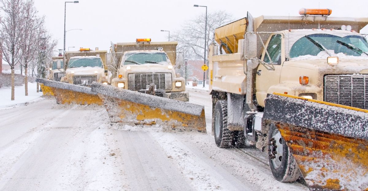
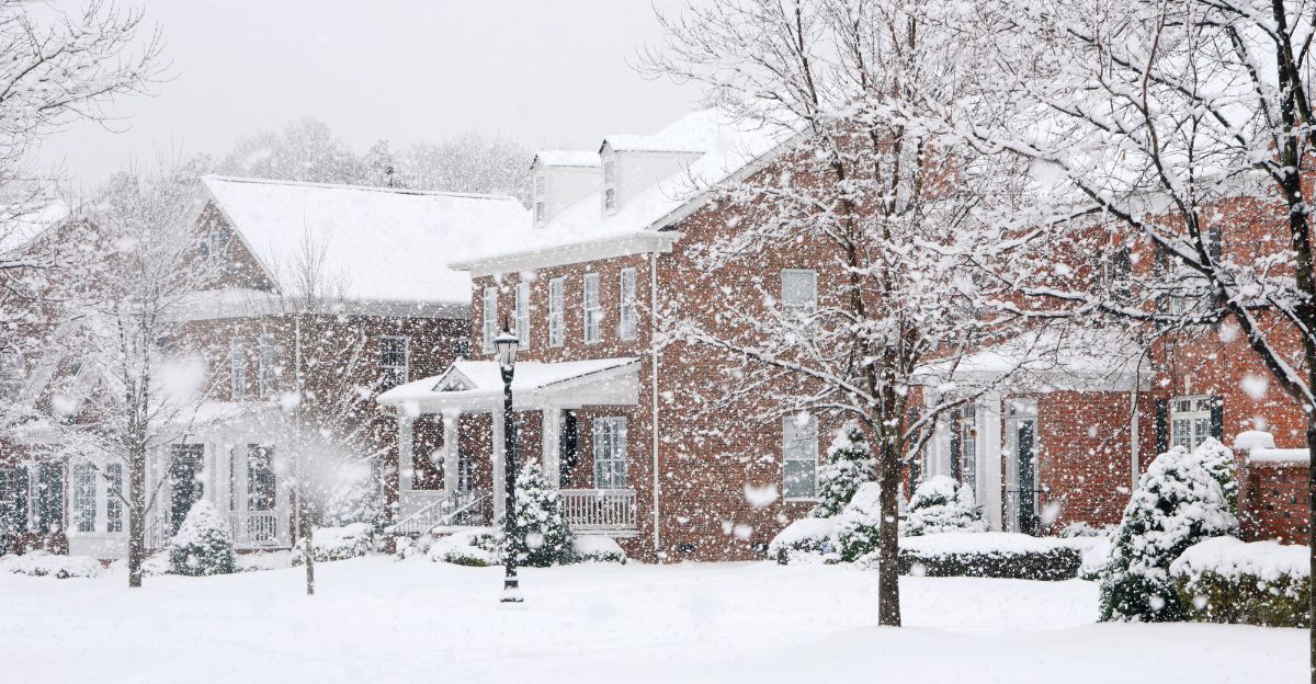
The first snowflakes touched down in the Cascades, quickly piling up as snow fell at rates reaching 1 inch per hour. By Wednesday evening, significant snowfall had accumulated, making roads through the North Cascades hazardous and, in some locations, impassable, as up to a foot of snow coated Highway 20.
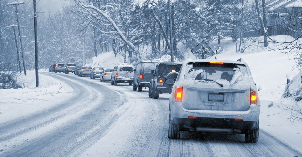
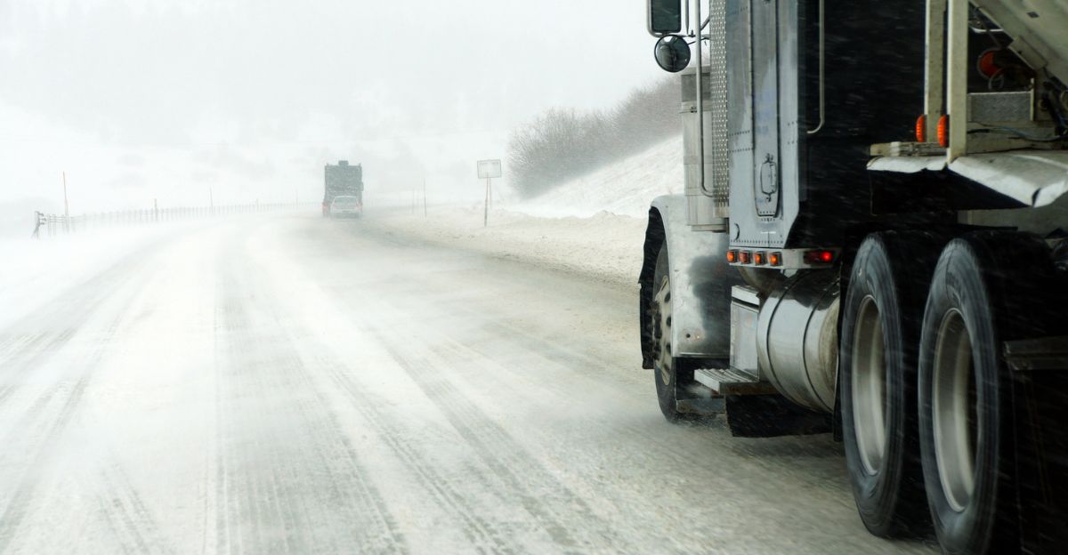
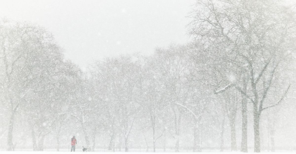
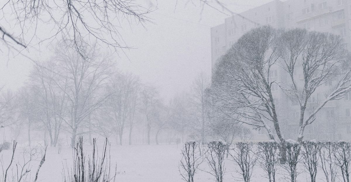
Travelers faced deteriorating conditions with warnings of poor visibility. The National Weather Service issued a winter weather advisory, cautioning that “impossible travel” was possible. Questions remained about how the storm would unfold and who might be affected by the peak conditions.
How the Storm Developed: Cold Front Meets Pacific Moisture
The storm’s intensity was driven by a powerful convergence of cold air and Pacific moisture, resulting in heavy mountain snowfall.
Starting Wednesday evening (November 5), the snowstorm was forecast to last until Friday morning (November 7), with up to 12 inches of snow expected along Highway 20 west of Washington Pass, and even higher amounts possible at Mount Baker.
Major Travel Disruptions in High-Elevation Areas
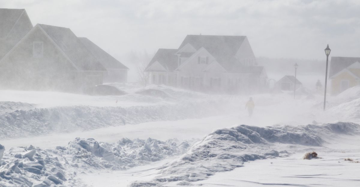
Hazardous conditions were expected to primarily affect high-elevation mountain passes. The worst disruptions were predicted for Wednesday evening and Thursday morning, with some treacherous conditions likely persisting into Thursday night.
Areas along Highway 20 west of Washington Pass faced extreme snow and poor visibility, making travel dangerous.
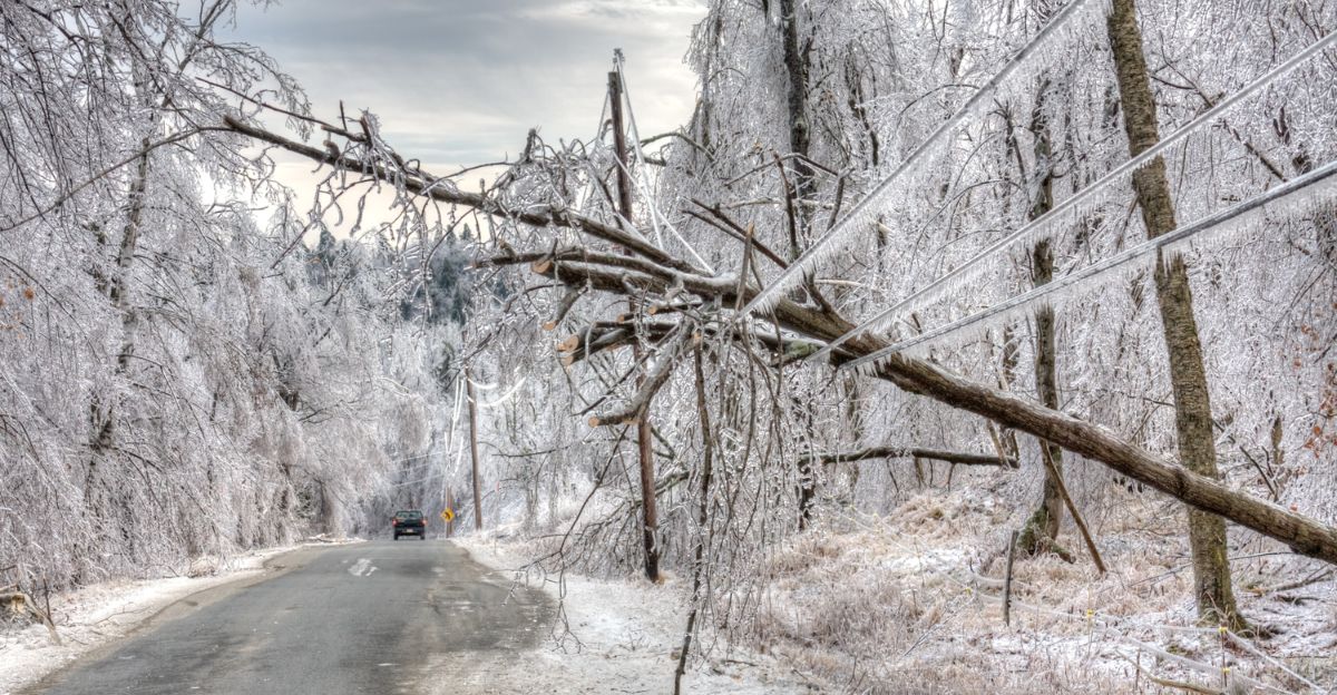
Residents Prepare for Power Outages and Difficult Travel
Communities in the mountains were advised to prepare for possible power outages.
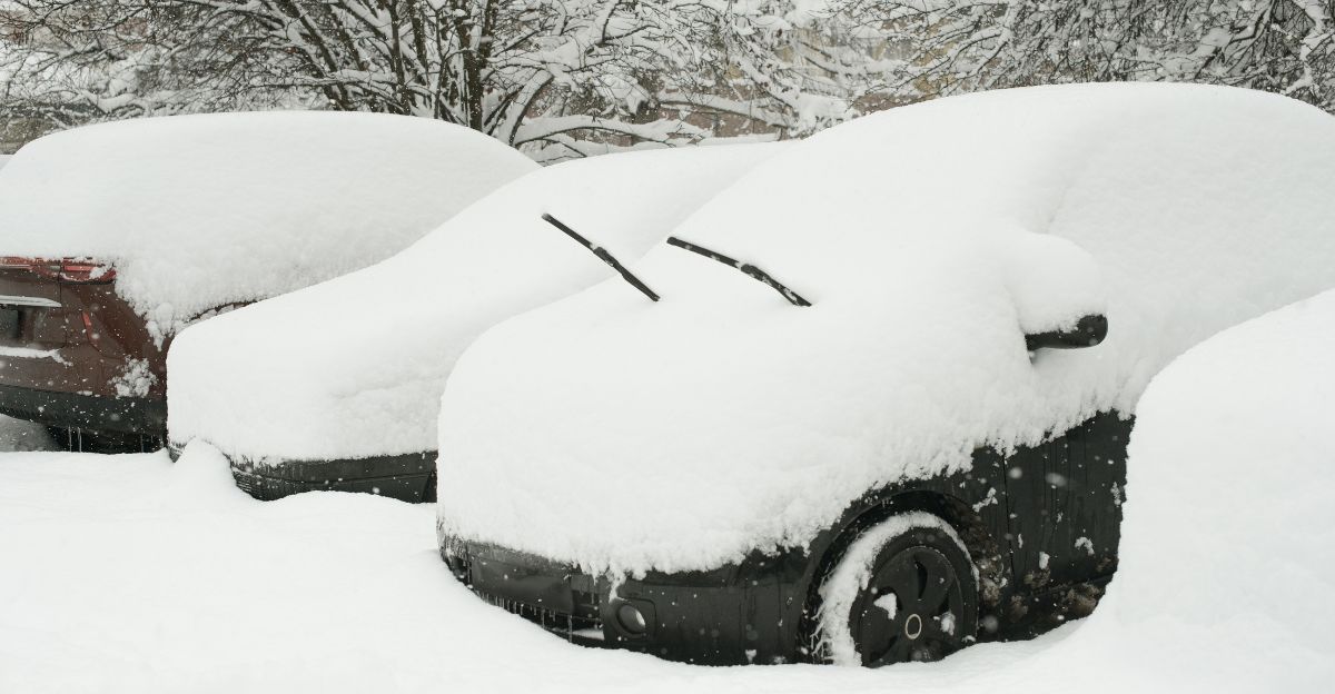
The National Weather Service urged residents to keep essentials like food, water, and emergency gear on hand. Travelers should expect extended delays and conditions that could make some routes impassable.
Mixed Impact on Recreation and Tourism
While mountain tourism and recreation faced challenges due to difficult travel, the early-season snow provided a boost for ski resorts like Mount Baker, which were preparing for winter operations.
However, cross-mountain travel and hiking became more difficult as snow continued to accumulate.
Context of Highway 20’s Seasonal Closure
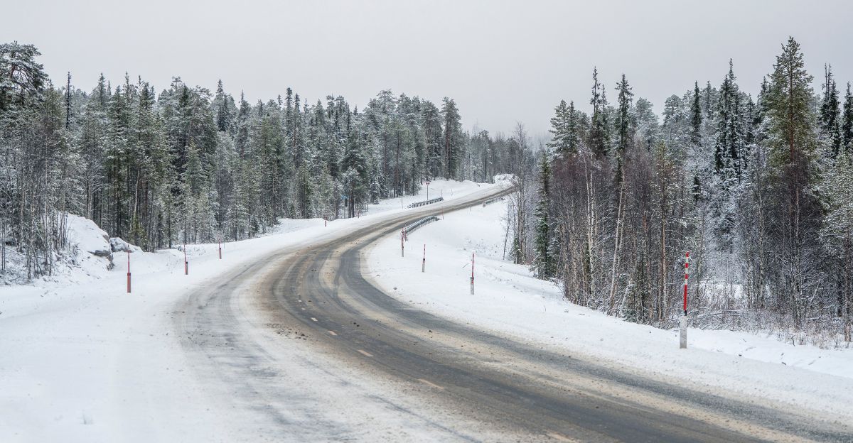
Highway 20, also known as the North Cascades Highway, is historically one of the most avalanche-prone roads in the United States.
Typically, it closes for the season by mid-November due to snow and avalanche risk, with closures often lasting until April or May. This storm arrived just before the anticipated seasonal closure.
Emergency Preparedness for Mountain Residents
Residents living at higher elevations were advised to check heating systems and stock up on supplies.
The National Weather Service continued to highlight the importance of winter readiness in mountain areas, noting that travel might become impossible and access to services limited during the storm.
Government Agencies Issue Timely Alerts
Washington State officials and the National Weather Service worked together to deliver timely warnings to local communities.
These advisories helped travelers make informed decisions about travel. Emergency management teams remained on alert to monitor conditions.
Economic Impacts: Regional Disruption and Winter Recreation
The early-season snowstorm challenged businesses in the mountains, while providing benefits for winter recreation spots, especially ski resorts.
Late-season tourism and local commerce, particularly in remote and high-elevation areas, experienced disruptions during the storm.
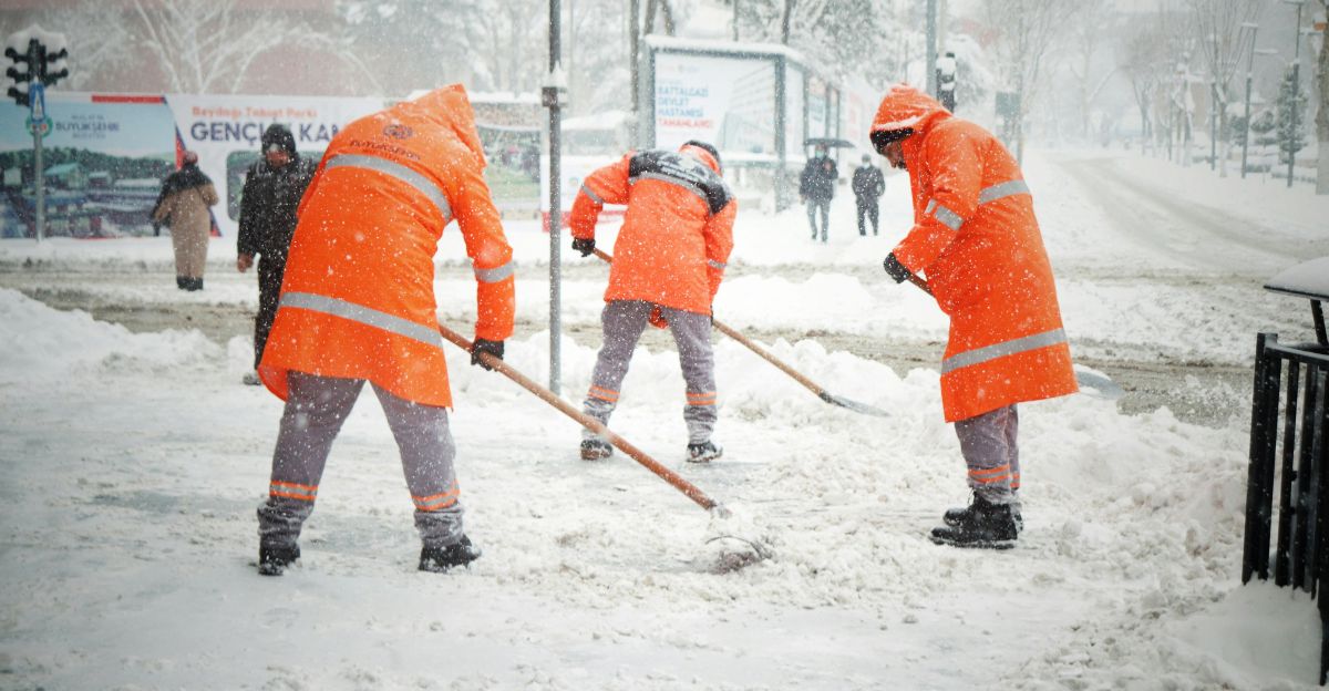
Winter Safety Tips for Travelers in Affected Areas
Travelers were advised to take safety precautions before entering affected regions, including carrying tire chains, keeping emergency supplies on hand, and monitoring travel conditions through official weather updates.
Proper preparation can help prevent travel disasters during winter storms.
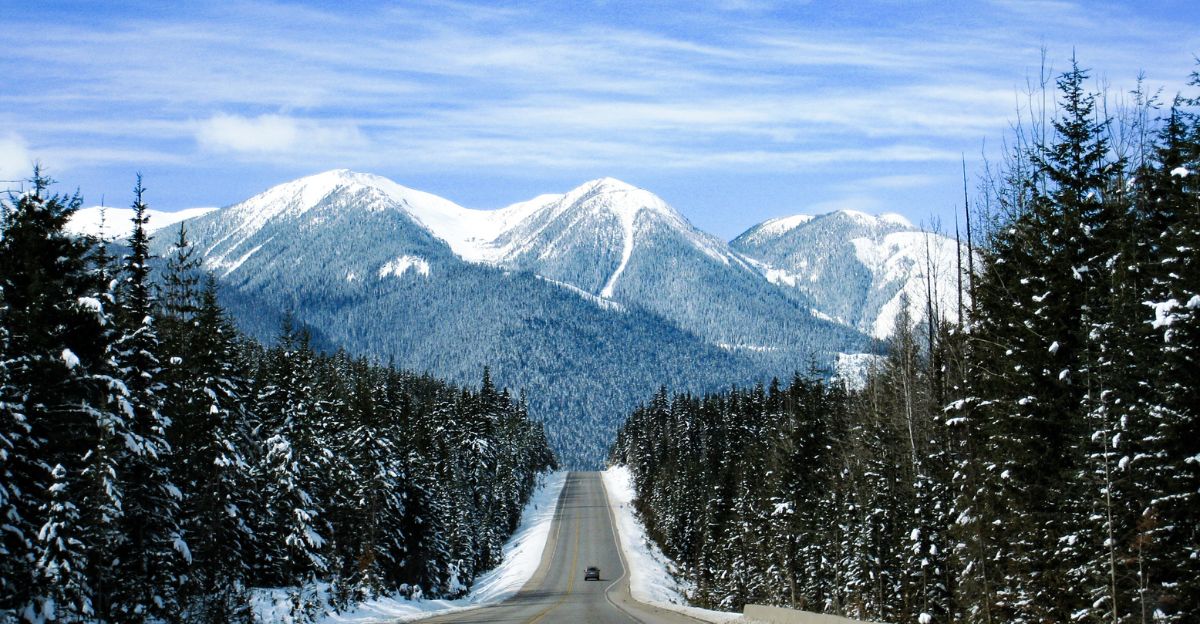
The North Cascades’ Legendary Snowfall Patterns
The North Cascades region consistently records some of the heaviest snowfall in the United States, with Mount Baker holding all-time records.
Early November storms are typical of the region’s transition to full winter, and this system is in line with that pattern.
What to Expect This Winter: A Snowy Season Ahead
Forecasts indicate more frequent winter storms for the mountains of Washington.
With this major snowstorm beginning the season, regions like the North Cascades are preparing for several months of challenging weather and accumulating snow.
Economic Sectors Affected by the Snowstorm
Primary impacts will be felt by recreation businesses, seasonal mountain lodging, and anyone using mountain passes.
Ski resorts and winter activity operators will adapt, while summer-oriented businesses close for the year. The economic disruption is largely localized to higher elevations.
Preparation Tips: Stay Safe and Stay Informed
Mountain travelers should monitor snow conditions often, travel with suitable emergency gear including extra clothing and food, and closely follow weather forecasts.
Avoid unnecessary travel during peaks of the storm for safety.
Looking Ahead: Expect a Typical Mountain Winter

This storm marks the real start to winter in the North Cascades, with accumulating snow paving the way for seasonal highway closures, the ski season, and ongoing winter conditions through April.
Residents and area visitors can expect to adapt to the rhythm of a typical mountain winter.