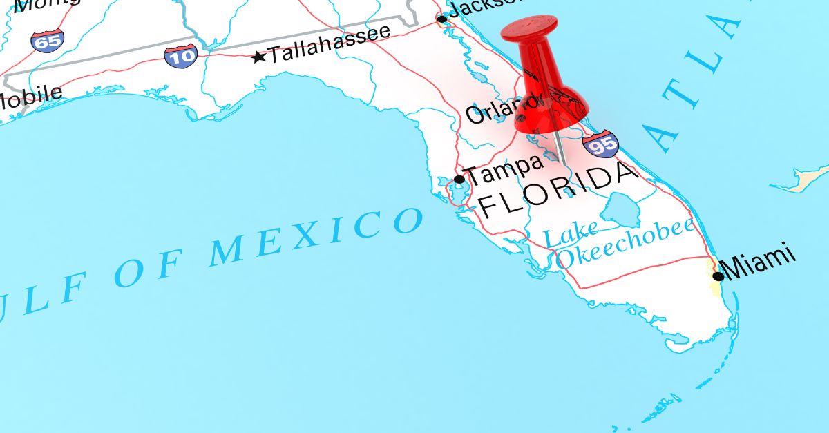
Central Florida faced a severe flood on October 27, 2025, when a slow, heavy storm dumped nearly 20 inches of rain on Eustis in just 24 hours.
That’s more than double the rain Hurricane Ian dropped on the same area in 2022.
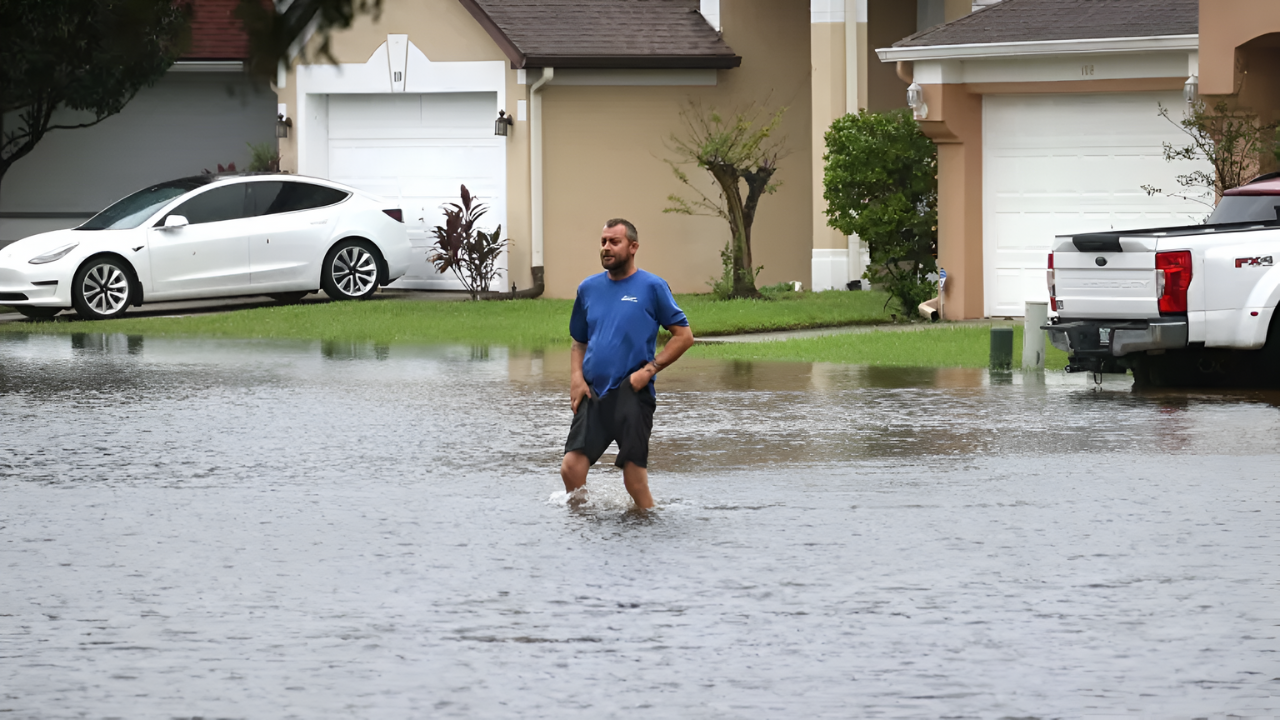
The National Weather Service issued its highest flood alert, warning that roads were washing away and hundreds of vehicles were stranded. Many retirement communities had to evacuate as floodwaters swallowed the ground beneath homes.
This storm demonstrated that Florida can experience hurricane-level rainfall without an actual hurricane.
Breaking Records

The rainstorm broke many local records. For example, in Port Saint John, 15.57 inches fell—20% more than the record set by Hurricane Ian.
Mount Dora saw 17.86 inches, 242% more than Ian’s total. Experts said this kind of storm might only happen once every 1,000 years in Lake County.
The flood was part of a rising trend in intense rain, with thousands of flash flood warnings issued nationwide in 2025.
Atmospheric Stalemate

Unlike regular quick-moving hurricanes, this storm stalled over Central Florida for almost a day because it got trapped between weather systems.
Warm air full of moisture continued to feed it, causing new storm cells to dump rain over the same areas repeatedly. This pattern, known as “training,” led to record flooding.
Scientists say such stalled storms are becoming more common because climate change is slowing down wind patterns that once pushed storms along fast.
Warning Escalation

On the evening of October 26, flood warnings became serious fast when the National Weather Service declared a Flash Flood Emergency—one of the rarest and most critical alerts.
The alert called it a “hazardous situation.” Emergency workers were already rescuing people from floodwaters.
Officials ordered everyone to get to higher ground immediately, since 15 to 18 inches of rain had already fallen, and they expected more flooding.
Ground Zero
Eustis, a city of 25,000, bore the worst of the storm with 19.7 inches of rain—more than Miami gets in a typical four months.
Titusville, near the Space Coast, saw 15 inches. Both areas declared emergencies, dispatching teams to help with cleanup and recovery.
The storm flooded neighborhoods, overwhelmed stormwater systems, and affected an area stretching 60 miles from inland hills to the coast.
Infrastructure Collapse
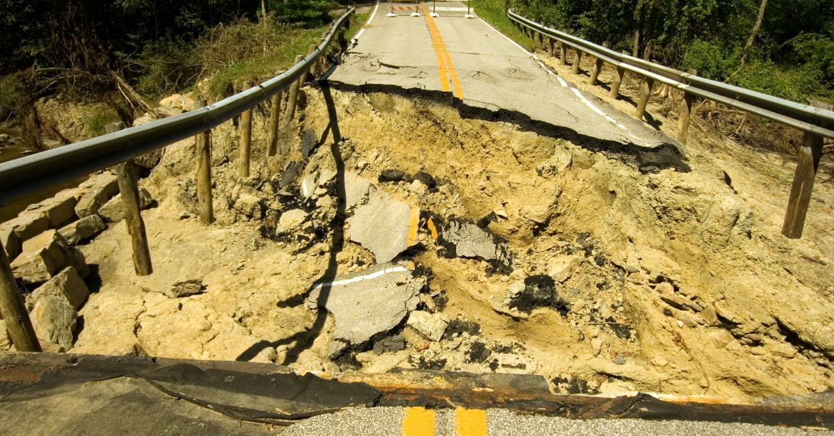
Mount Dora suffered severe damage as floodwaters washed away streets, including Donnelly Street—a key connection to a major highway—leaving a huge gap where the road used to be.
Other roads and bridges were also damaged or collapsed. Some parts of the city were under boil-water notices because water supplies were at risk.
Officials said repairs could take months, possibly until Christmas, leaving residents isolated.
Cliff’s Edge

At Waterman Village retirement community, flooding created two giant ravines just feet behind homes. Authorities evacuated about twenty-one houses to keep residents safe.
One couple said their peaceful lake view turned into a scary 40-foot-deep canyon. Residents waited in emergency shelters and were only allowed brief returns to collect essentials under supervision.
Flooding also affected many homes across Brevard County, although few have yet met the criteria for federal disaster aid.
Economic Standstill

Mount Dora’s downtown businesses lost over 40% of sales immediately after the floods during what should be the busiest time of year.
Tourists were unable to reach stores due to road closures, exacerbating the disaster’s impact beyond earlier hurricane interruptions.
The local chamber shared maps for alternative routes, but the damage still threatens the town’s economy for the remainder of the season.
Cascading Impacts
The flooding caused long-lasting problems that extended beyond the immediate damage. The St. Johns River rose slowly but steadily, expected to cause flooding for weeks.
Bank systems and telephone networks experienced issues as people attempted to contact loved ones. Ferry services paused while the docks were inspected.
These disruptions demonstrated the fragility of the area’s systems, even when no buildings collapsed.
Pattern Recognition
Florida’s October floods altered how experts perceive disasters. The damage was worse than that of a Category 4 hurricane, such as Ian, but there were no usual warnings or evacuations.
The flood originated from a slow, unnamed storm that brought intense rain without the typical signs of a hurricane.
Across the U.S. in 2025, multiple rare heavy rain events struck close together, proving extreme floods will not wait for hurricane season.
Displacement Crisis

Retirement community residents lost their homes or evacuated after erosion threatened their foundations.
Community support was praised, but concerns were raised about the uncertain future. Some neighborhoods remained flooded and inaccessible, schools closed, and temporary shelters opened to help displaced families.
Despite 200 flooded homes, many areas still fell short of requirements for federal disaster aid.
Government Response

Florida officials toured damaged areas and activated emergency plans to speed repairs. Local leaders had the authority to issue orders to protect life and property.
Cleanup included fixing sewage spills caused by power outages. The federal government shutdown limited aid, so state officials promised to provide support once they settled the budgets.
Hotlines and sandbag sites were opened for affected residents to report damage and receive assistance.
Engineering Challenge

Fixing Mount Dora’s roads will take months, and possibly up to a year. Repairing isn’t just filling holes, but redesigning for future storms.
The city’s hills cause water to drain and erode differently than in most Florida towns, complicating recovery efforts.
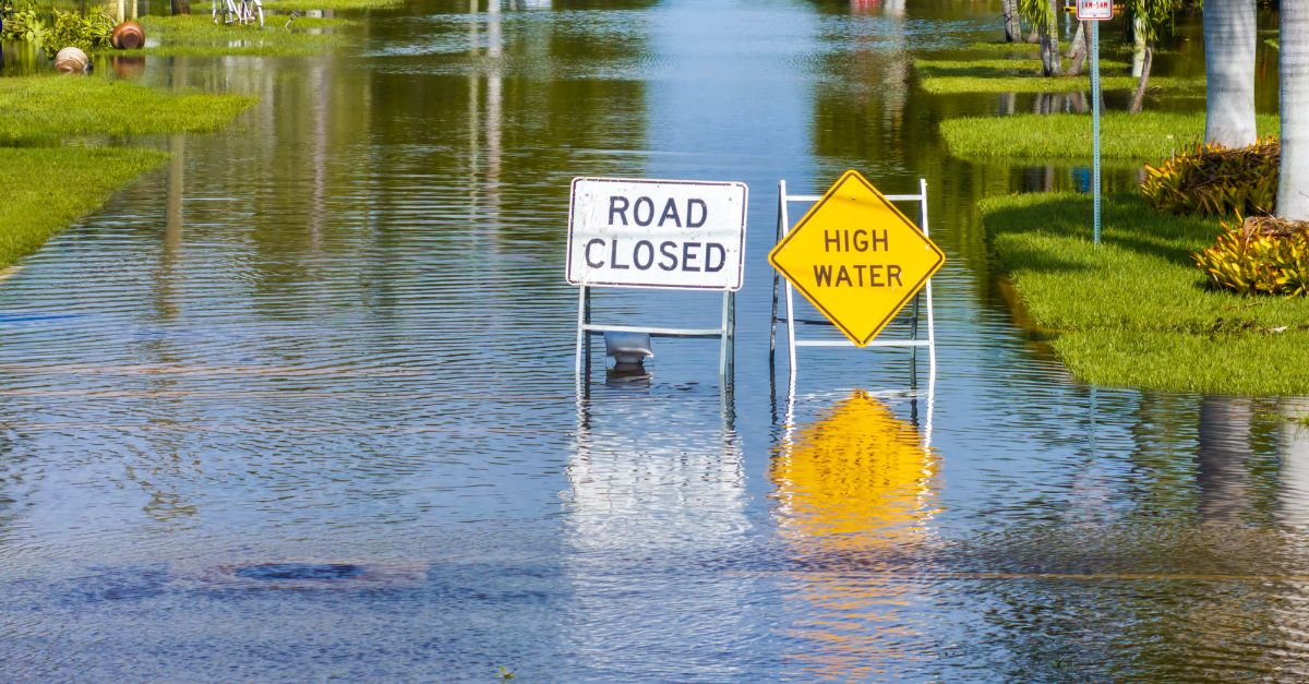
Some roads remain partially closed for safety. Officials are checking hazardous areas and warn residents to avoid them until inspections are complete.
Forecaster Warnings
Even with sunny skies returning, flood risks remain. After heavy rain, rivers and lakes take time to go back to normal.
Officials warned that just a few more inches of rain could cause new, dangerous floods in already soaked areas.
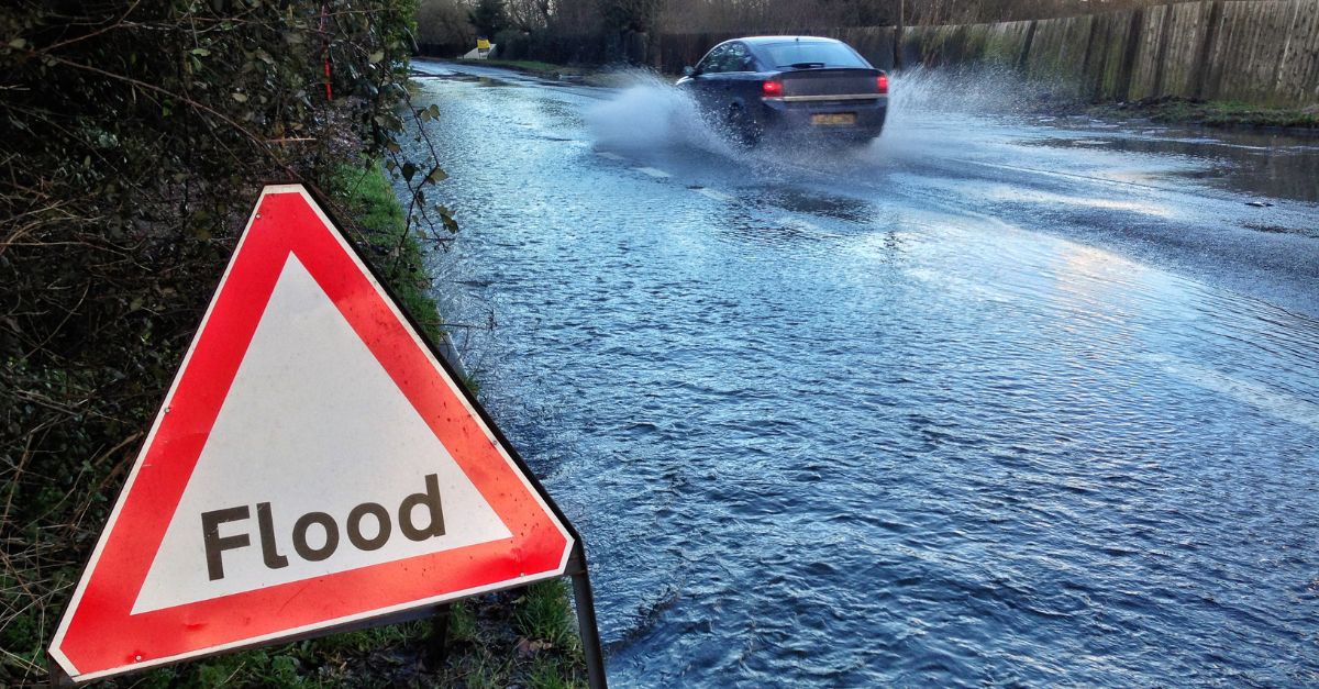
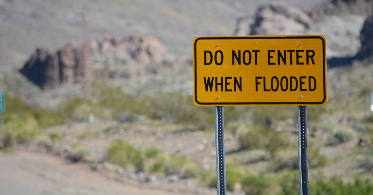
Officials remind drivers of the risks associated with entering floodwaters, which can conceal broken roads and swift currents.
Redefining Risk
The October flood shows Central Florida that big disasters don’t only come from hurricanes. Slow, heavy rain can cause equal or more damage.
Emergency systems and the public need to prepare for all types of weather, not just named storms.
This new reality poses a challenge to how Florida plans for future extreme weather events.