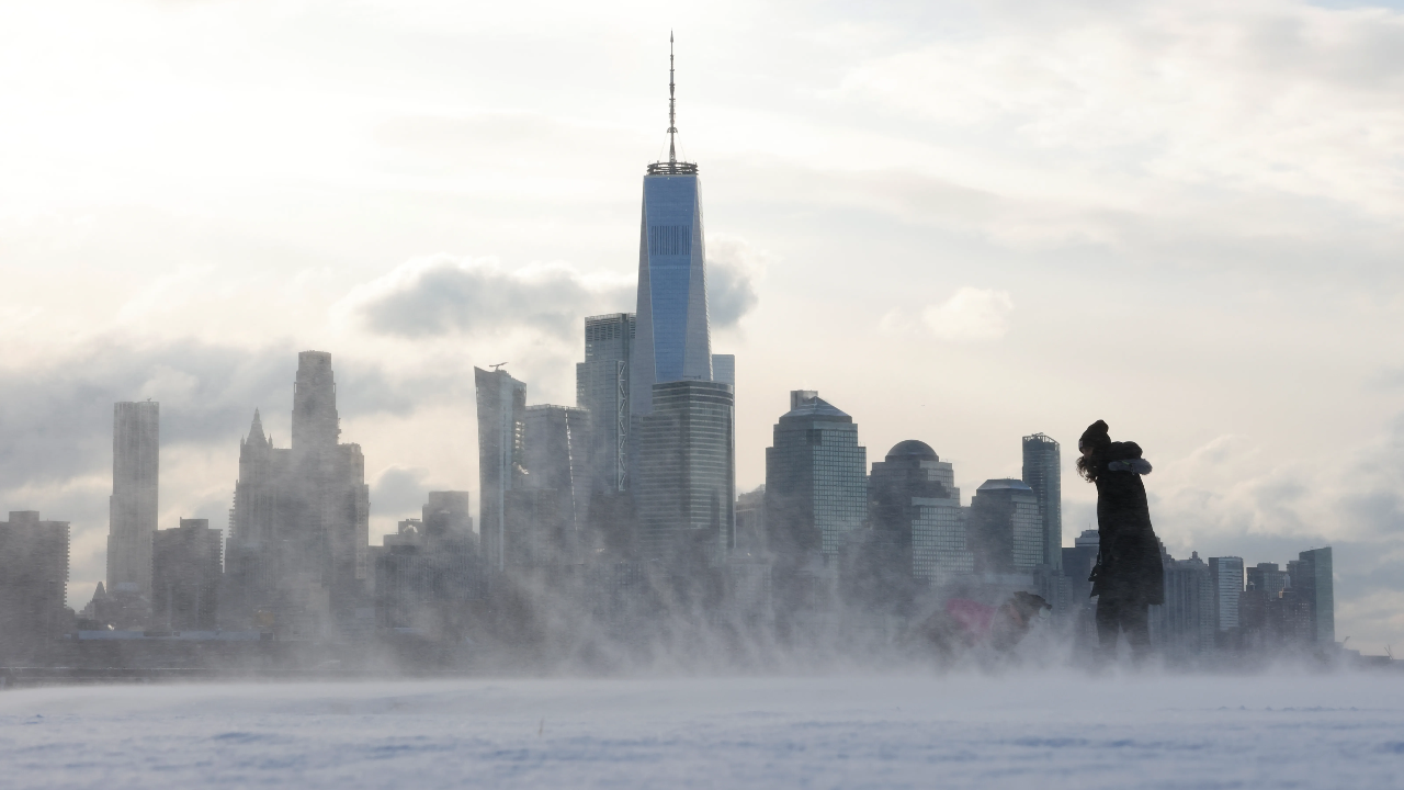
New York State faces a winter unlike any in recent memory. The Weather Channel’s outlook for 2025–2026 signals a season defined by sharp swings: warmth followed by cold snaps, and a pronounced sensitivity to a weak La Niña that unsettles the jet stream and expectations alike. The result is a patchwork pattern across the state, with upstate snow totals potentially climbing toward 100 inches while coastal areas stay comparatively milder.
La Niña Returns
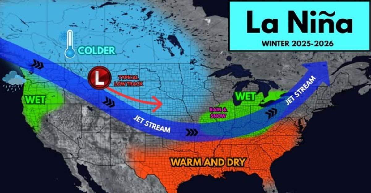
The return of La Niña was officially confirmed by NOAA in September 2025. The current phase is characterized by cooling Pacific waters near the equator, which tends to alter global weather patterns. This instance is considered weak, with temperatures roughly half a degree Celsius below normal, but forecasters caution that even modest shifts can ripple into uneven winter conditions. NOAA meteorologist Jon Gottschalck emphasizes that the strongest signals will emerge in winter, though the pattern’s brevity adds a layer of uncertainty: it could fade early and still reshape the season’s cold spells.
False Calm in November
Forecasters warn that November could bring a misleading sense of serenity. Early-wall conditions across much of the East Coast are predicted to be warm and sunny by AccuWeather and The Weather Channel. Yet, veterans of weak La Niña winters know that warmth early on often presages volatility later. December through February historically sees sudden temperature drops and erratic storms, a pattern that leaves homes and cars unprepared for rapid shifts.
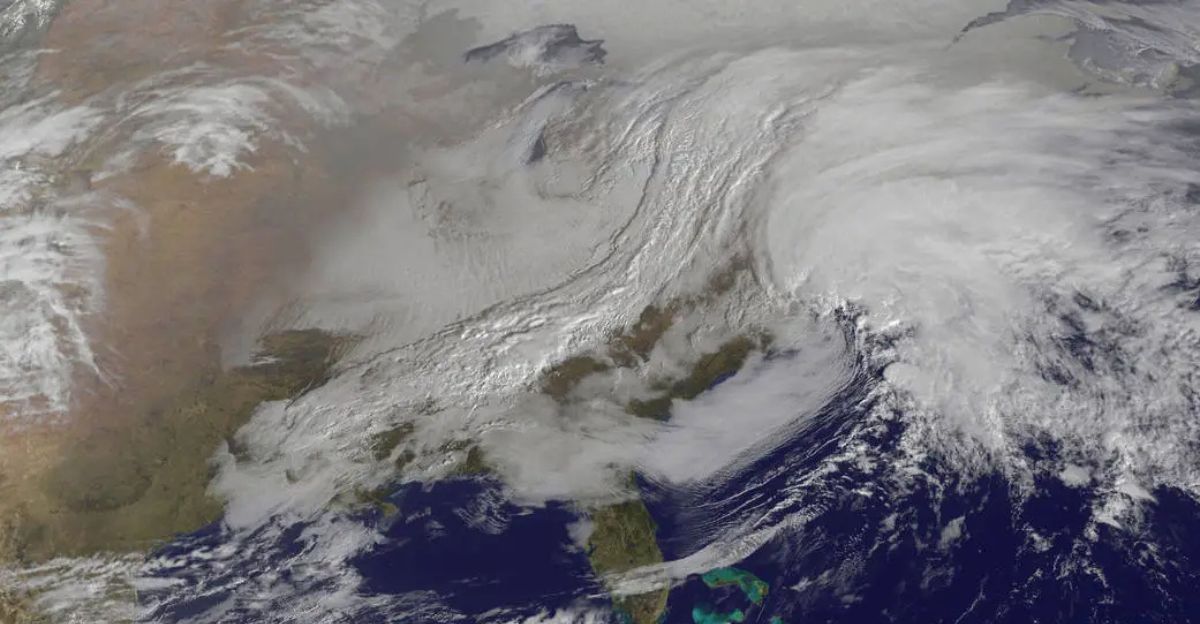
Precipitation Above Normal in Pockets
NOAA’s winter outlook indicates a 40%–50% chance of above-normal precipitation for much of central and western New York, with slightly lower odds in the Hudson Valley and Albany. The drivers are La Niña’s tendency to push the jet stream northward, spawning more storms across the northern United States while the South stays drier. When temperatures hover at or near freezing, the result is heavy moisture with mixed snow and sleet rather than uniformly heavy snowfall.
Buffalo Faces Lake-Effect Extremes
Buffalo stands out in the projections: near 100 inches of snow is possible, driven by vigorous lake-effect bands from cold air moving over Lake Erie’s relatively warm waters. Intense bursts could bring 3–4 inches per hour during peak events in December and January. By contrast, New York City is forecast to average around 20 inches, underscoring the state’s regional divergence.
A Paradox of Temperature
Meteorologists describe a paradox: models show above-normal temperatures for much of New York, yet the same forecasts predict above-average precipitation. The phenomenon is a hallmark of weak La Niña, where overall warmth masks the potential for several disruptive snow events. Nick Gregory of Fox 5 NY calls it classic weak La Niña behavior: mild on average but with early-season cold shocks.
Rising Heating Costs and Budget Pressure
Fluctuating temperatures complicate home energy planning. Utilities pre-purchased much of the natural gas market to stabilize costs, but the prospect of frequent heater cycling and sudden cold snaps could drive spikes in spot prices. With roughly 1.4 million New Yorkers already burdened by heating bills, the season’s volatility is expected to strain household budgets. Experts urge proactive furnace maintenance and revised winter budgets to accommodate possible swings.
Transit and Travel Uncertainty
Travel corridors across the region are watching for a winter of “bookend storms”—events early and late in the season that could slam major routes like Interstate 95, the New York State Thruway, and Metro-North. Late-season mixed precipitation could create hidden ice beneath fresh snow, complicating commutes and school decisions. Transit agencies and municipalities are preparing for closures and delays, underscoring the need for flexible planning and timely updates.
The Forecasting Puzzle
Forecasters describe 2025–2026 as a winter of uncertainty, with forecasts contingent on La Niña’s duration and transition back to neutral conditions. If the pattern fades by midwinter, storm paths and temperatures could shift dramatically by February. Past weak La Niñas have produced wildly different outcomes—from frequent snow bursts in 2021–22 to a generally mild 2024–25—illustrating the challenge of long-range prediction when signals are noisy.
One Nor’easter, Big Implications
The Weather Channel warns that a single powerful nor’easter could redefine the season’s narrative, potentially delivering 2–3 feet of snow within 24 hours along the coast. Such a storm would rearrange travel, emergency planning, and energy consumption in moments, even if the overall season remains middling. Emergency planners remain vigilant for rapid-response needs in the East Coast corridor.
Past Patterns, Present Caution
Historical echoes complicate the picture. The Great Lakes region often carries the season’s heaviest snow, while coastal cities may see brief, intense bursts. The 2022–2023 winter—a reminder that a mild reputation can coexist with sharp cold blasts—offers a cautionary template: temperature whiplash, wet storms, and local variability can dominate week-to-week forecasts.
Global and Local Perspectives
A global lens shows La Niña’s reach into weather patterns worldwide, while locally, residents must prepare for a range of outcomes. Climate-change research adds a layer of intensification to coastal storms and lake-effect events, increasing the potential for both blizzards and flooding as ocean temperatures rise and air moisture holds more readily.
Forward Look
The outlook for spring 2026 remains provisional. NOAA expects La Niña to fade by late winter, with neutral conditions returning around March 2026. A milder spring is anticipated overall, but officials caution that late-season snow remains possible in northern and higher-elevation regions. The overarching message is clear: flexibility and preparation are essential as the season’s outcomes resist easy prediction.
Stakes for residents and policymakers are practical and immediate. Home heating resilience, road safety, and emergency readiness must be maintained, while utilities and transit systems plan for ongoing volatility. The winter ahead will test adaptability just as much as it tests snow shovels and thermometers.