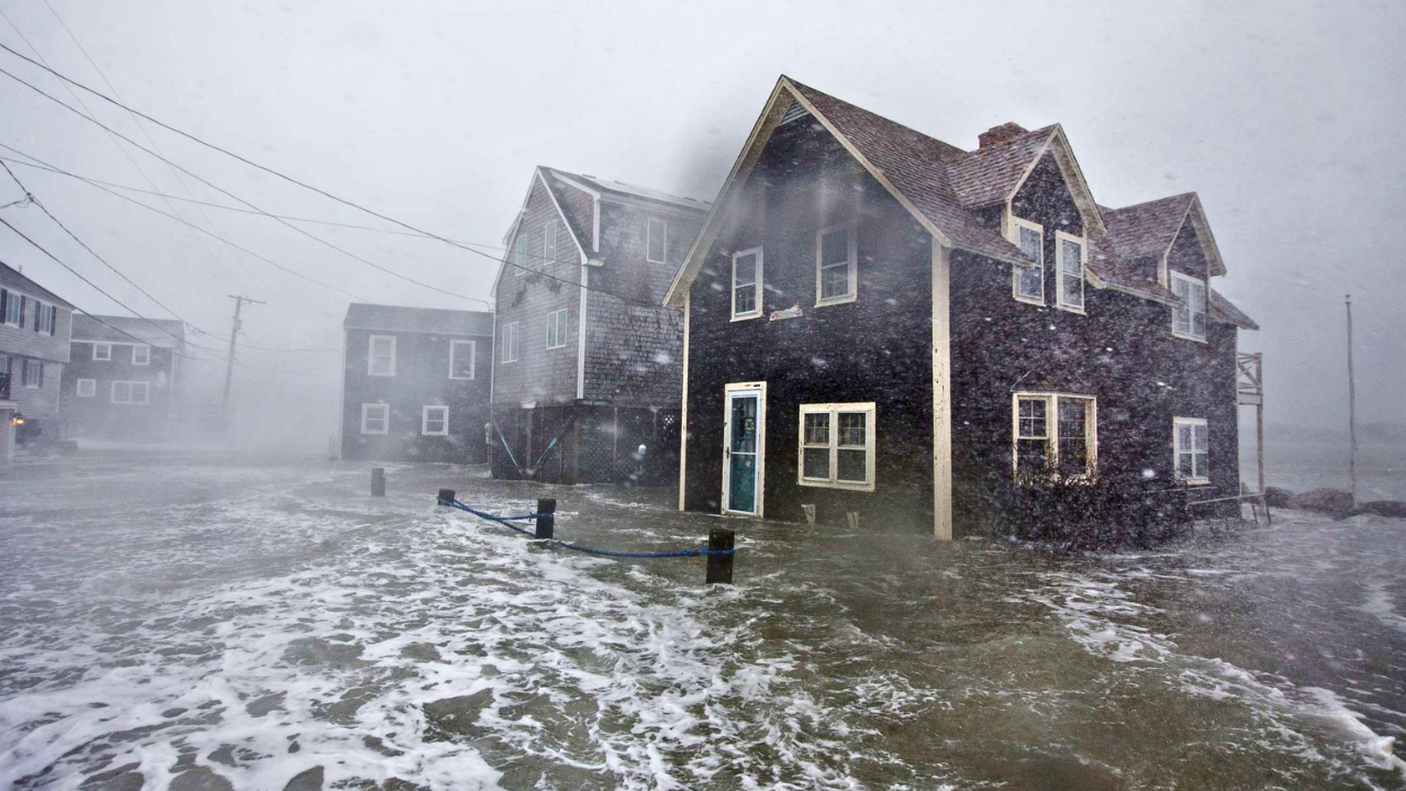
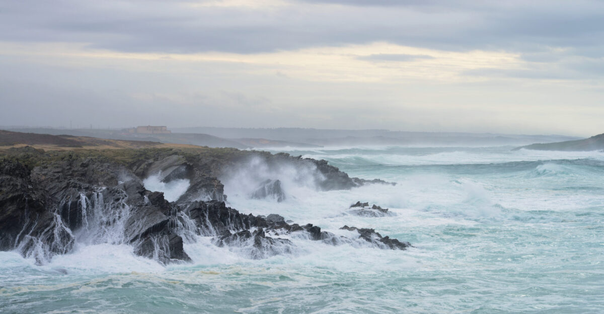
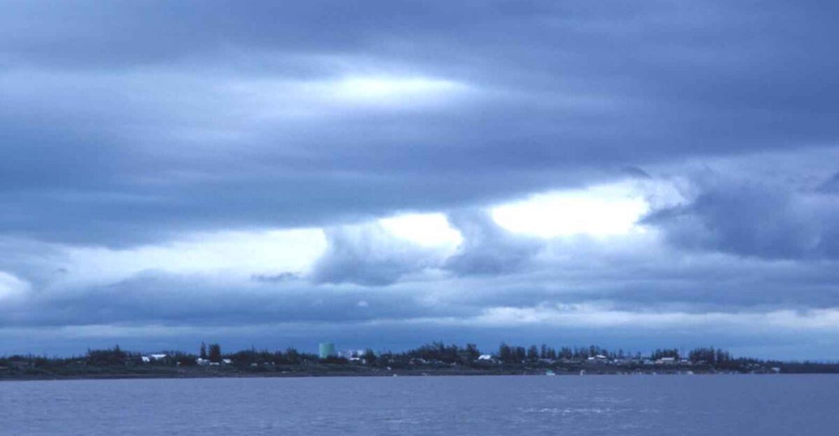
High winds and churning seas erupted this weekend as a rare supermoon aligned with the brewing storm. On Oct. 6–7 the full Harvest Moon was at perigee – NASA notes such moons can appear ~30% brighter and ~14% larger than normal – lifting the ocean’s tidal bulge.
With tides already high, East Coast communities braced as a nor’easter formed offshore.
High Winds Put Millions Under Alert

As the weekend storm intensified, wind alerts spread from the Carolinas to New England. FOX Weather meteorologists issued High Wind Watches, warning of gusts up to 60 mph that could affect “close to 10 million Americans”.
Nearly every coastal county from Delaware through New Jersey and New York was under advisories. Officials warned trees and power lines could be toppled by the blustering gale.
What is a Nor’easter?
NOAA explains that a nor’easter is “a storm along the East Coast…so called because the winds…are typically from the northeast”. These powerful storms usually form 100–300 miles offshore between Georgia and New Jersey.
They’re most common from September through April, bringing heavy rain (or snow) and coastal flooding. In short, the weekend’s storm was textbook – intense northeast winds swirling near the Gulf Stream.
Harvest Moon Drives King Tides

The storm’s arrival coincided with October’s Harvest Moon. Meteorologists warned that seasonal King Tides combined with the full “supermoon” would surge water inland from Florida to the Carolinas. At perigee, the Moon’s pull can raise tides ~10–20% higher than average.
Early reports of flooded streets and stripped beaches came in as the astronomical high water level added to the nor’easter’s force.
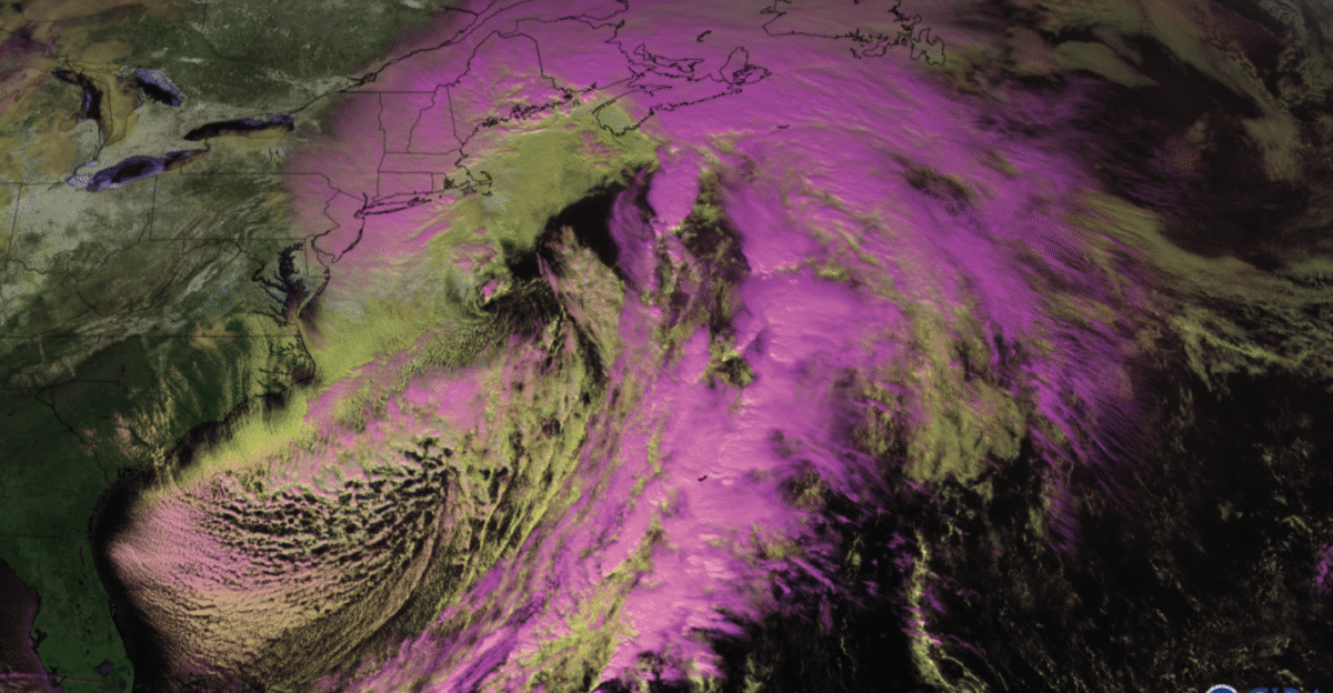
Nor’easter Officially Forms Offshore
By Saturday morning, satellite data confirmed the feared outcome: a classic nor’easter had developed about 100 miles off the Georgia-South Carolina coast.
The low-pressure system rapidly deepened as it headed north over the warm Atlantic. The National Weather Service’s criteria were now met – a coastal low with persistent northeast winds – exactly in the area forecasters had been tracking all week.
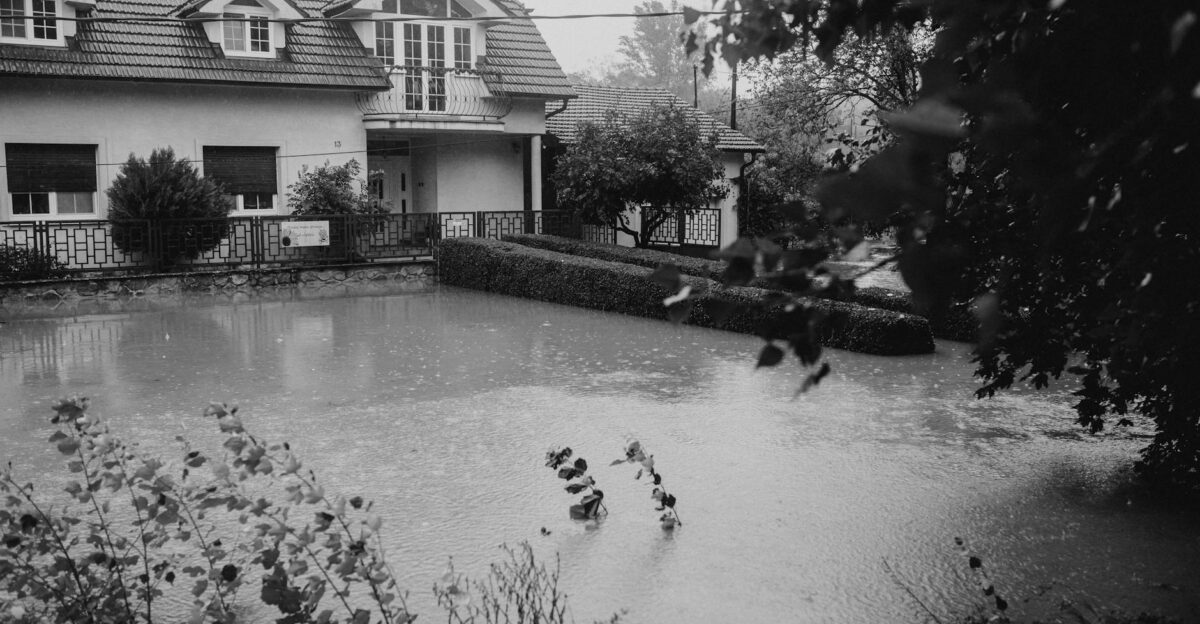
Mid-Atlantic Faces Flooding Threat
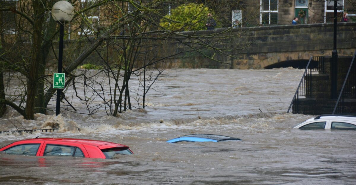
The Mid-Atlantic prepared for the storm’s punch. Mount Holly NWS issued Coastal Flood Watches from Delaware through New Jersey, warning that ‘moderate to major coastal flooding’ was likely on Sunday–Monday high tides.
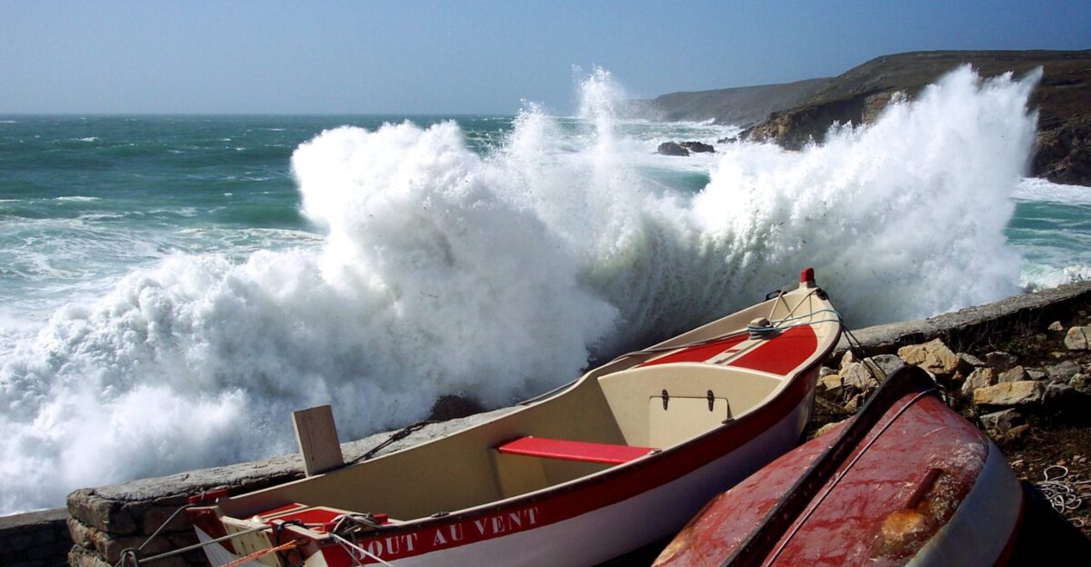
Widespread rain (2–3 inches locally) was expected to produce significant runoff. Gale warnings predicted offshore gusts to 45–55 knots (50–65 mph) with 15–20 ft seas. Low-lying roads and waterfront structures were put on notice.
Outer Banks Sound the Alarm
On North Carolina’s Outer Banks, fears became reality. FOX Meteorologist Kiyana Lewis warned, “We have a couple of vulnerable spots…one of which is the Outer Banks,” noting residents should expect “some significant surf, possibly some more beach erosion”.
Indeed, since Sept. 30, nine homes in Buxton had already “succumbed to the Atlantic Ocean”. Homeowner Ty Vayett summed it up: “The beach can’t take it. These houses can’t take it… It hurts”.
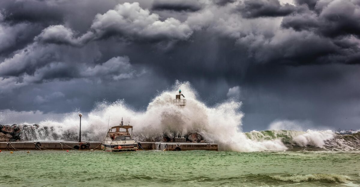
Beach Erosion Pummels Shores
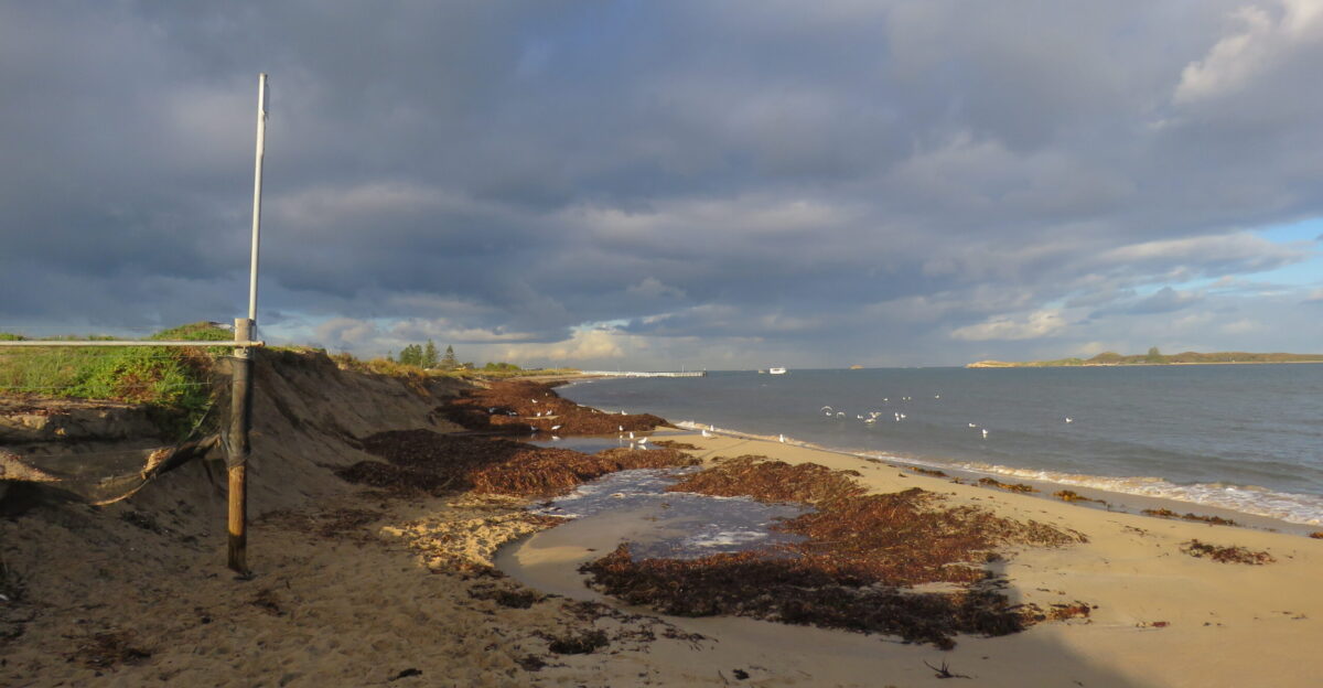
Weeks of relentless surf had already ravaged the coast, and the nor’easter was poised to accelerate it. On the Outer Banks, Fox reported “nearly a dozen structures have collapsed over the last week” into the sea. Buxton resident Ty Vayett described the heartbreak: “The beach can’t take it. These houses can’t take it” as waves ate away dunes.
Even farther north, Charleston officials noted tidewater now “routinely force[s] the closure of downtown streets”. The storm’s surge threatened to strip even more sand from these already battered beaches.
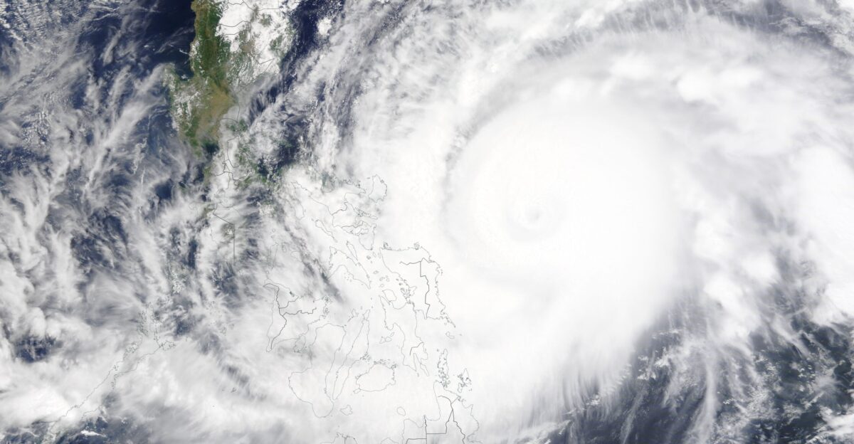
Dual Atlantic Storms Threaten
At the same time, Tropical Storm Jerry was brewing to the south. By Thursday, it had 65 mph winds about 400 miles east-southeast of the Leeward Islands. The NHC had issued Tropical Storm Watches for Antigua & Barbuda, Anguilla, St. Kitts/Nevis, St. Martin/Sint Maarten, and others.
The rare coincidence of a Caribbean tropical storm and a U.S. nor’easter stretched forecasting resources.
Emergency Response Under Strain

Even as nature raged, the funding impasse hampered response. FEMA’s coordination centers were on skeleton crews, and some grants were frozen. NOAA stated that during the shutdown “all public…activities” were halted, though they would “continue to provide critical forecast, watch and warning information to protect life and property”.
States and towns scrambled with their own resources. Emergency managers quietly admitted this was as much a test of disaster planning as the storm itself.
Communities Activate Preparedness Plans
Coastal towns mobilized their storm plans. Avalon, NJ officials urged, “If you live in an area…that typically floods, move your vehicle to another part of the community that does not typically flood”.
They also advised residents to secure loose objects and construction sites against strong winds. Nearby utilities announced extra crews were standing by. In short, everyone waited anxiously to see whether dunes and defenses would hold or be overwhelmed.
Monday’s Storm Surge Impacts
When Monday’s tide came, the storm was still grumbling along the coast. Weather.com reported the nor’easter would “last through Monday” before finally departing. By then communities had seen two cycles of high tide. Parts of the Outer Banks and Jersey Shore recorded an additional 2–3 inches of rain on Monday.
Coastal floodwaters crept into towns again, closing roads. Transit agencies warned that Northeast corridor delays might persist into Tuesday.
Shutdown’s Effect on Disaster Response

The confluence of crises raised political questions. With federal funding hung up, some lawmakers highlighted the gaps. NOAA had to suspend routine services, even as it guaranteed core warnings would continue. State officials noted FEMA and other agencies were operating at minimal levels.
Critics argued the shutdown had left the country exposed – exactly when a full-response was needed – and pressured leaders to restore funding before damage claims piled up.
Warming Climate Amplifies Storms

Experts noted that this October nor’easter fits a growing pattern. Recent studies show the strongest East Coast storms now have about 17% more destructive power than in the mid-20th century.
“The strongest nor’easters are already significantly windier and rainier than they were in the mid-20th century,” observed climate scientist Michael Mann. A CNN analysis added that today’s nor’easters are “being supercharged by planet-warming fossil fuel pollution”.
Outlook: Adapting to Extremes
By Tuesday, the storms were gone, but questions remained. Coastal flood warnings expired as high tides subsided and residents began cleaning up. The nor’easter’s legacy – record tides, downed trees, and washed-out dunes – left communities contemplating the future.
Climate scientists caution that events like this may become more common. The ultimate test will be whether governments and residents invest now in higher dunes, stronger infrastructure, and better planning… before nature shows its hand again.