Weather experts are warning that an unusually early blast of cold Arctic air is poised to hit the eastern United States in October, weeks ahead of what would usually be expected in the month.
Meteorologists are seeing powerful and consistent signs across weather models, signals that typically appear closer to winter than mid-autumn. The leading cause is a mass of cold air growing over northern Canada, which is expected to surge southward.
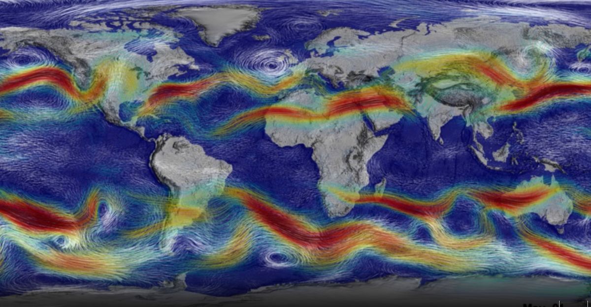
At the same time, the Atlantic coast is experiencing more tropical storm activity. The combination means a theatrical weather setup, with cold and stormy conditions expected to overlap and affect millions.
Collision Course
Starting around October 10 or 11, a key climate pattern known as the Arctic Oscillation is shifting into a negative phase, which means cold air will be pushed out of the Arctic and down into the U.S. East Coast.
Forecasters expect this polar air to hit moist, warm air from the Atlantic just as a new low-pressure area (which can grow into a storm) is forming offshore.
The models suggest these two very different air masses will meet head-on, setting up the classic conditions for a nor’easter (a powerful East Coast storm) much earlier than usual.
Nor’easter Genesis
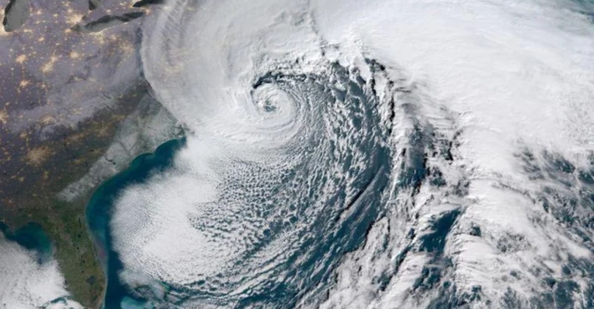
A nor’easter usually forms in late fall or winter, not October, and happens when cold, dry Canadian air crashes into warmer, wetter air from the Atlantic Ocean.
This meeting often causes major storms along the East Coast. The National Weather Service and experts interviewed by CNN say that October nor’easters are rare, but they can occur, especially when unusual cold air outbreaks coincide with stalled weather fronts.
This possible nor’easter may also draw extra energy because Atlantic waters are warmer than usual.
Building Pressure
Another piece of the puzzle is high air pressure building over the Northeast. This acts like a block, forcing the developing coastal storm to strengthen and head straight toward the shore.
The Weather Prediction Center reports that patterns in the Atlantic and across North America are aligning, which means storm energy is being concentrated, resulting in stronger winds and a larger coastal impact.
Other climate signals, like the Pacific-North American oscillation, are supporting this massive push of cold air.
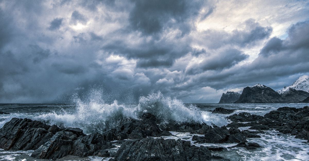
The Collision
By Saturday, October 11 or 12, forecasters say the polar front, which is the dividing line between cold and warm air, will slam into an Atlantic coastal storm about 200 miles off the North Carolina coast.
The direct clash of Arctic and tropical air is likely to rapidly strengthen the storm, causing swirling counterclockwise winds, pounding surf, and high tides that are the trademark of a nor’easter.
Carolina Crosshairs

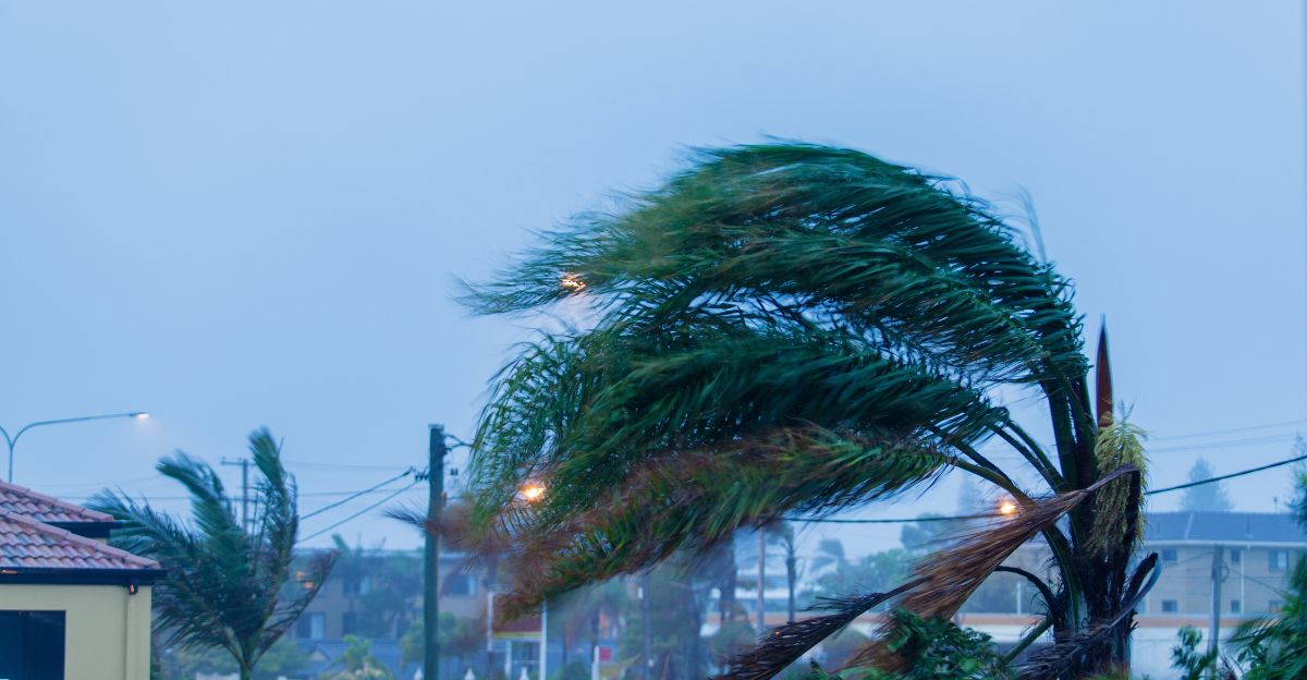
The first places to feel the storm’s punch will be the Outer Banks in North Carolina and nearby parts of Virginia.
Forecasters are calling for sustained winds above 40 miles per hour, with even stronger gusts expected by Saturday.
Dangerous surf, moderate coastal flooding, and new beach erosion (especially in spots already damaged by previous storms) are likely, according to AccuWeather and the National Weather Service.
Community Response
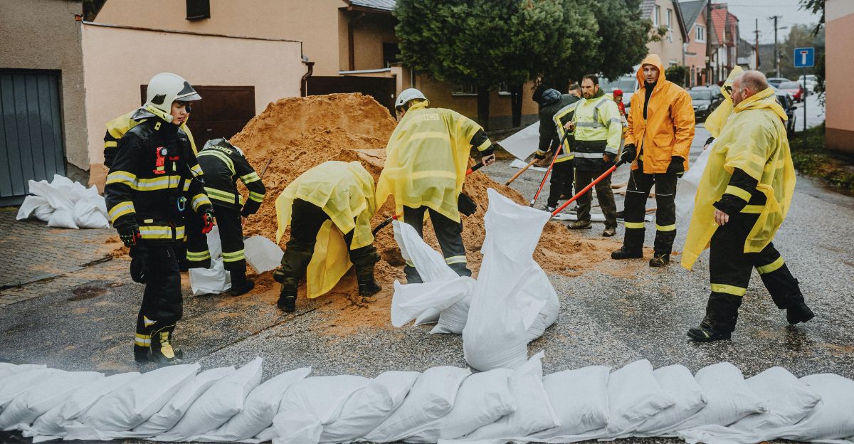
Emergency teams in North Carolina and Virginia are urging residents in low-lying and coastal areas to prepare, check the news regularly, and be ready to evacuate if instructed to do so.
Persistent onshore winds could trap water along the Virginia coast for days, so Virginia’s emergency department is especially worried about repeated tidal flooding—a risk that runs into the holiday weekend.
Supply Chain Impacts
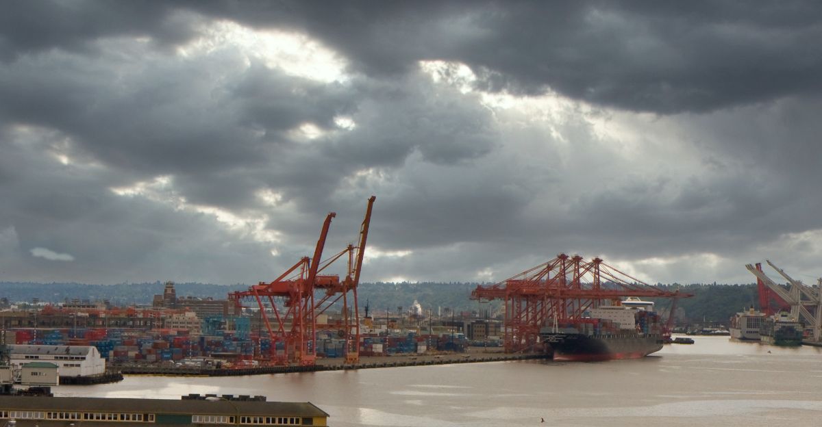
Additionally, the storm won’t only affect homes and beaches—NOAA and the U.S. Coast Guard have warned that shipping, ports, and supply chains in major cities like Norfolk and Baltimore could be disrupted by heavy seas and strong winds.
Several airlines are already warning passengers about possible flight delays or cancellations at East Coast airports.
Delivery companies are rerouting trucks and pausing some operations as they await confirmation of the storm’s exact path.
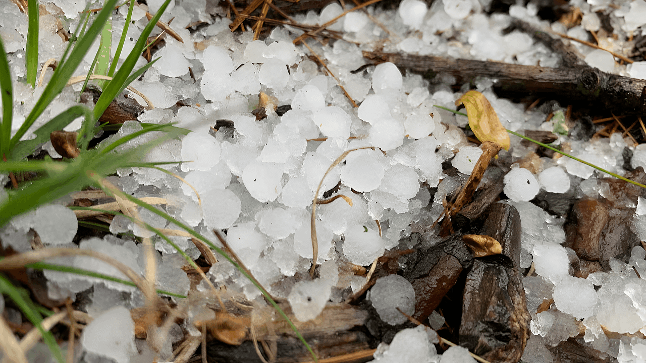
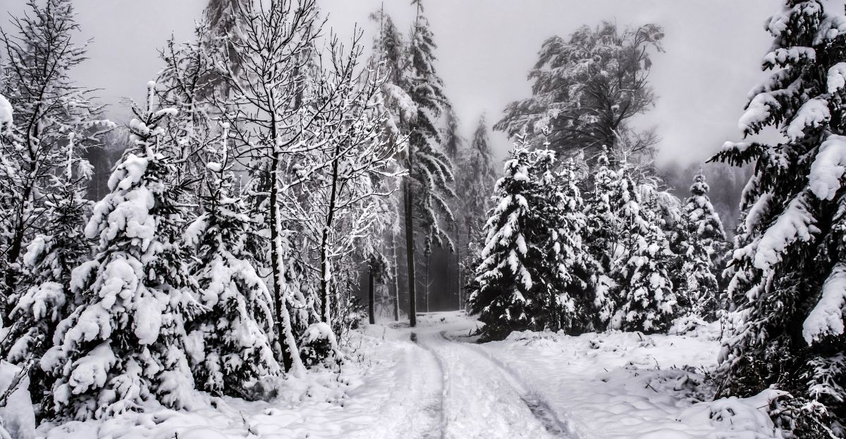
Temperature Freefall
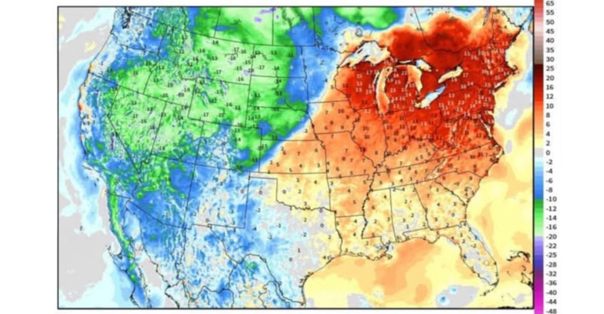
Chilly weather will arrive for much of the eastern United States. Over 200 million people, from the Southeast to New England, will likely experience temperatures 10 to 15 degrees Fahrenheit below the average for mid-October.
Nighttime lows in Virginia and the Carolinas could drop into the 30s or 40s, more akin to Thanksgiving than early October.
Growing Season Ending
This early freeze will end the growing season in many places.
Weather.com and the National Weather Service have issued warnings for frosts and freezing temperatures for over 150 million people.
That could damage or even kill late harvests and garden plants in much of the Northeast and Midwest. Experts are telling farmers and gardeners to harvest now or protect sensitive plants.
Emergency Continuity

Local authorities are mobilizing additional staff and supplies for emergency shelters and areas that may require assistance. The North Carolina National Guard is ready to help with rescues and evacuations.
Emergency teams are ensuring that information reaches residents who may be at risk, providing frequent updates to help them make informed decisions.
Infrastructure Strain

Utility companies, such as Dominion Energy, have warned that strong winds and saturated ground may lead to downed power lines and widespread outages.
Restoring power might take longer than usual because hazardous conditions could linger.
Utilities are urging people to prepare for possible days without electricity and to have food, water, and a backup power source ready.
Recovery Readiness

Federal disaster teams from FEMA are already moving into position to respond quickly after the storm.
The Army Corps of Engineers is ready to use sandbags and beach repair equipment to protect coastlines in North Carolina and Virginia.
Local crews are getting tools and vehicles prepped for rapid repair as soon as the storm passes.
Expert Perspectives
While this kind of Arctic and Atlantic clash in October isn’t common, weather scientists say it’s still within the normal range of patterns, though it could become more frequent as climate change warms the ocean and disrupts old routines.
NOAA and climate researchers stress that this single event doesn’t determine any trend, but stronger, earlier storms mean communities and cities should upgrade their emergency plans just in case.
Outlook

Looking ahead, experts urge people and local governments on the East Coast to get ready for more unusual storms in the fall.
With climate change making patterns less predictable, being resilient and updating emergency plans is critical. There’s growing concern that as hurricane season and early Arctic cold start overlapping more often, powerful nor’easters like this one could become a new autumn reality.
Everyone must stay safe by being vigilant and planning well.