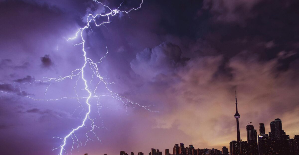
Tropical Storm Imelda formed Sunday near the Bahamas, packing 40 mph winds as of late Sunday night.
It is the ninth named storm of the 2025 Atlantic season and is expected to strengthen to hurricane strength by midweek.
Forecasts now have Imelda tracking near Florida’s Atlantic coast, posing a growing flood threat to the Southeast.
Carolina Governors Preemptively Declare Emergencies

South Carolina Gov. Henry McMaster and North Carolina Gov. Josh Stein have already declared states of emergency. McMaster warned Imelda will bring “significant wind, heavy rainfall, and flooding across the ENTIRE state of South Carolina”.
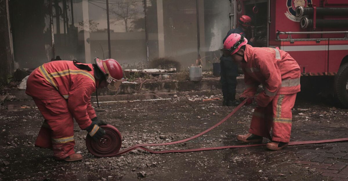
In Raleigh, Stein’s office said response teams, including swift-water rescue and National Guard units, were pre‑positioned for possible flooding from Monday through Wednesday.
Bahamas Bear First Brunt of Storm
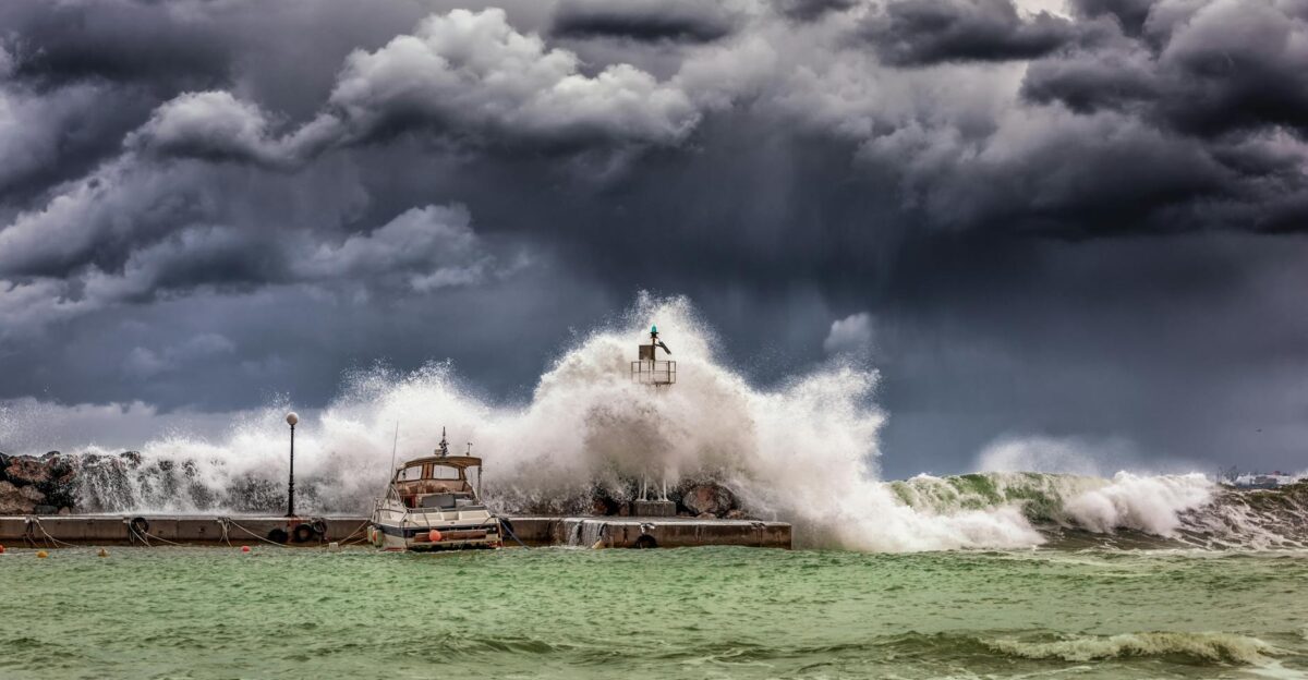
Hurricane Imelda has already struck the Bahamas, where tropical-storm-force winds and torrential rains have caused widespread flooding. Some islands have seen 6–12 inches of rain, with storm surge up to 3 feet above normal on exposed shores.
Tropical storm warnings remain in effect, and hundreds of residents have been urged to higher ground as the storm churns through the central and northwest Bahamas, echoing impacts already seen in Cuba.
Coastal Cities Ramp Up Preparations

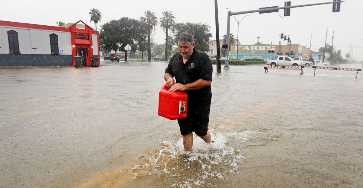
Cities up and down the Southeast coast raced to prepare. In Charleston, crews cleared storm drains and barriers, while volunteers set up three sandbag distribution centers on Sunday, giving out over 1,000 free sandbags to anxious residents.
At the same time, FEMA is positioning supplies from Florida through Virginia. Earlier today, the NHC lifted a Tropical Storm Watch for Florida’s east coast (from Palm Beach to Daytona) as models shifted track.
Humberto Casts Forecast Deciding Dice
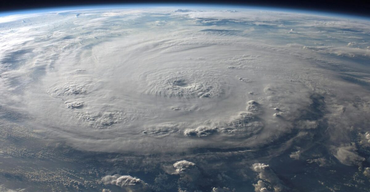
A wild card now looms: Hurricane Humberto, a massive Category 4 storm, is spinning about 535 miles south of Bermuda with sustained winds near 150 mph. Meteorologists say the interaction between Imelda and Humberto could be pivotal. If the two come close enough, a rare Fujiwhara effect could ensue – a sort of atmospheric “dance” where one storm might pull the other around.
In fact, the in forecasts is that Humberto could either fling Imelda harmlessly into the open Atlantic or stall it just offshore, resulting in days of catastrophic rain on the Carolina coast.
Projected Rainfall and Surge Threats
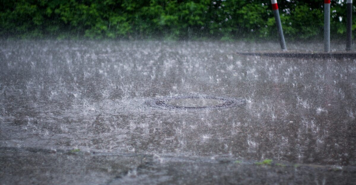
Current forecasts show Imelda dumping 2–4 inches of rain (isolated higher totals) from coastal Florida through southern Virginia over the next several days. Localized amounts could reach up to 6–10 inches in flash-flood-prone areas.
At the same time, an elevated storm surge — roughly 1–3 feet above normal tides — is expected along barrier islands and bays.
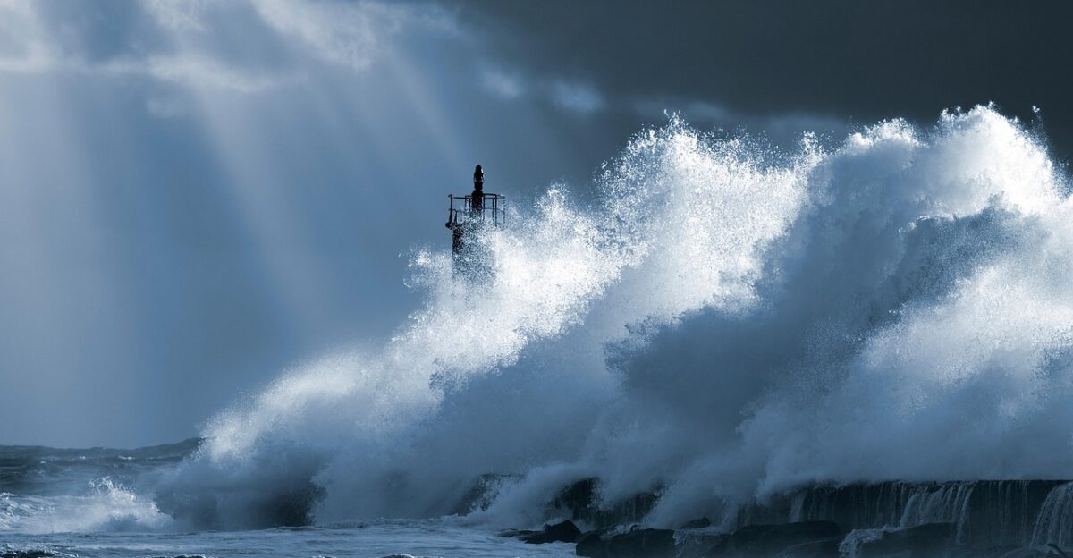
Combined with powerful surf (offshore swells up to 12 ft are forecast), these conditions will pose flooding and drowning hazards along the East Coast.
Officials and Residents Voice Grave Concerns

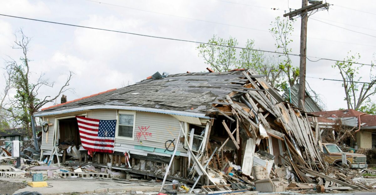
“This storm is deadly serious. Not just serious. Deadly serious,” Gov. McMaster told reporters Saturday, a sobering echo of Hurricane Helene’s devastation last year. Many coastal residents are reacting with urgency.
Charleston college student Gabriel Pires noted, “We’ve kind of been told… It’s smart to get sandbags, because if not, your apartment could possibly flood”.
Communities are bracing for heavy rains and renewed power outages as Imelda approaches.
FEMA Stages Aid in Advance

Federal emergency teams have begun mobilizing. FEMA officials say they are “planning the potential requirements” for staging bases stocked with meals, water, and generators along the Southeast and Mid-Atlantic coast in the event of storm impacts.
The National Response Coordination Center is not fully activated yet, but agency spokespeople stress they are “prepared and ready to assist” state and local partners.
Supplies and personnel will be waiting to move in once the storm threat materializes.
Rare Atlantic Double-Storm Challenge
Forecasters note that having two strong storms simultaneously near the U.S. coast is exceptionally rare. Humberto even reached Category 5 intensity (160 mph) on Saturday before weakening to Category 4.
Only 44 Atlantic hurricanes have ever hit Category 5 strength in the historical record (making Humberto one of them), and 12 of those occurred in the past decade.
This “dual storm” scenario is testing forecast models that have few recent analogs.
Understanding the Fujiwhara Possibility
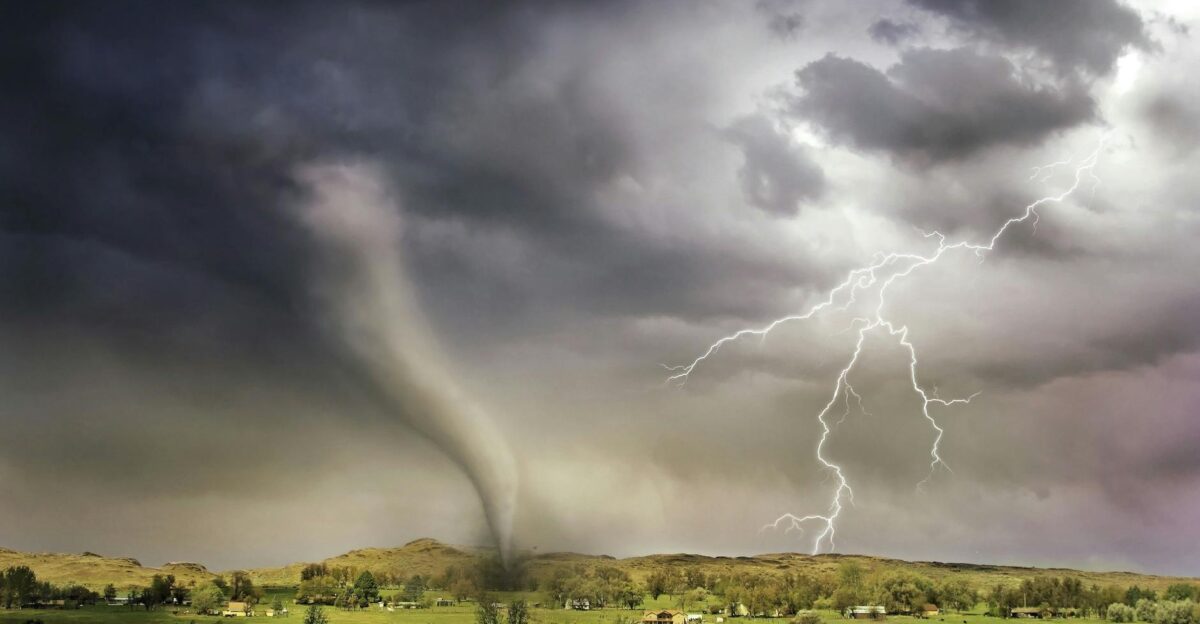
Could Imelda and Humberto begin circling each other? Some computer models put a small (≈10%) chance on a Fujiwhara interaction. This phenomenon, first identified in 1921, occurs when two storms move within roughly 850 miles of each other.
In that case, the storms can “dance” around a common center. As one CBS meteorologist explained, “typically when one system is stronger than the other, the smaller and weaker system will get overrun by the larger, stronger one”.
This could mean Humberto “flinging” Imelda away from the U.S. coast — possibly steering it out to sea entirely.
Forecasts Muddle Under Competing Influences
Even forecasters admit the outlook is unusually uncertain. An NHC discussion noted “above-average uncertainty” in Imelda’s long-range track because Humberto’s outflow may create shear or steering currents that could weaken or redirect the storm.
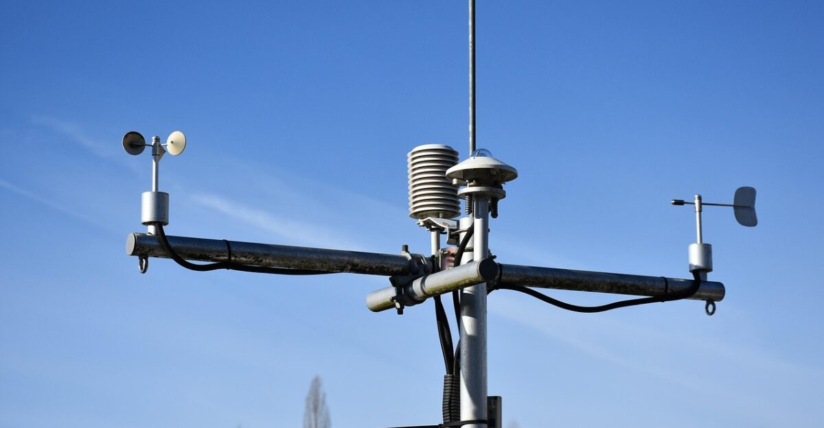
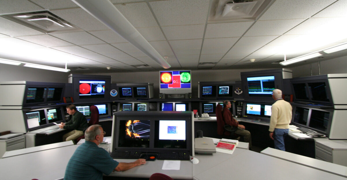
To compensate, the Weather Prediction Center has launched weather balloons every 6 hours (instead of the usual 12) to gather extra data.
Emergency managers say each new data point could significantly adjust the hurricane’s track and intensity forecasts.
South Carolina Prepares for Statewide Impact
State officials warn Imelda will not be “just” a coastal event. South Carolina Emergency Management Dir. Kim Stinson emphasized, “It’s a full state of South Carolina event because we can have wind and rain throughout the state”.
The state Emergency Operations Center has been activated for 24/7 coordination. Agencies have pre-positioned search-and-rescue teams (including swift-water boats) and sandbag stockpiles across both low-lying rivers and coastal areas.
Officials also opened shelters and are readying mutual aid agreements to handle flooding even in inland counties.
Forecast Models Shift, But Caution Remains
Recent computer guidance has nudged Imelda’s track eastward, easing the threat to some areas. The NHC this morning dropped the tropical storm watch for Florida’s east coast, as Imelda is now expected to pass offshore.
However, meteorologists urge caution: if Imelda slows or stalls offshore, it could linger and deliver punishing rains to the Carolinas for days. As one Weather.com analyst noted, models that originally showed a Carolinas landfall have since “pulled the forecast away” from the coast.
Small deviations — even a few tens of miles — could still produce very different impacts.
Experts Weigh In on Interaction Odds
Hurricane experts say a true Fujiwhara “dance” now appears unlikely. The NHC itself noted that while the Fujiwhara is possible, it “is not considered a likely outcome” in this case.
Researcher Brian McNoldy (Univ. of Miami) agrees that the storms would need to come within about 800 mi to significantly interact; he says that scenario is “somewhat less likely than it appeared a few days ago.”
Still, McNoldy emphasizes that if a joint rotation did occur, it would likely drive Imelda away from the U.S.: “Not only would it be really neat to watch, but it would fling future Imelda out to sea,” he said.
Crucial Weekend Ahead with Uncertain Outcome
The next 48 hours are critical. Forecasters note that the timing of Humberto’s northeast turn (expected by Tuesday) could be the deciding factor. If Humberto pulls away from the U.S., Imelda will likely swing out to sea.
If Humberto stalls or shifts differently, Imelda could linger offshore of the Carolinas. In any case, dangerous surf and rip currents are a virtual certainty along the entire Southeast coast through midweek.
Officials warn residents to stay alert and keep preparations in place — slight changes in Imelda’s track or strength could still dramatically change the threat.
Lessons From Helene: Guide Preparations
Both governors say they are acting on hard lessons from last year’s Hurricane Helene. Declaring emergencies early ensures local budgets and resources can be supplemented by federal aid almost immediately. (In fact, FEMA approved a major disaster declaration for Helene’s impacts just months ago.)
Analysts note this coordinated, interstate response reflects the reality that storms now often impact multiple states.
Researchers emphasize that warming Gulf and Atlantic waters have made hurricanes faster and stronger, so advance federal-state coordination — not a state-by-state approach — is now seen as vital.
Global Rarity: Atlantic’s Unusual Storm Duet
Similar dual-storm dynamics are more common in the Pacific, but almost unheard of in the Atlantic. “It’s pretty unusual,” notes a veteran meteorologist, since such dances are more often seen in the West Pacific.
The last time U.S. forecasters saw anything like this was in 1955, when back-to-back Hurricane Connie and Diane barreled up the coast.
Scientists around the world are now monitoring this situation for clues on how climate change might influence these rare multi-storm interactions in future seasons.
Sequential Storms Threaten Fragile Ecosystems
Coastal ecosystems already recovering from earlier storms now face additional risks. Environmental experts warn that even modest saltwater flooding can stress coastal wetlands and groundwater supplies.
Repeated wave action can erode barrier islands and beaches that normally dampen storm surge.
Scientists say multiple hits in one season can do more ecological damage than a single storm — potentially degrading the natural protections (marshes, dunes, barrier islands) that buffer coastal communities against future storms.
Communities Reflect on Past Storm Resilience

Charleston-area residents show mixed emotions. Many recall the “storm fatigue” of last year’s long power outages and flooding after Helene, but others note that neighborhoods have grown more prepared.
In some areas, volunteer networks and local emergency groups formed after Helene are reminding people how to make plans and share resources.
Interviews with locals found cautious optimism; as one neighborhood leader put it this weekend, “We’ve been through it before, and we feel ready this time.”
Imelda and Humberto Highlight New Challenges

This weekend’s twin-storm scenario underscores how Atlantic hurricanes are evolving. Two powerful cyclones near U.S. shores are a setup meteorologists haven’t seen in decades, forcing them to test new data tools and modeling strategies in real time.
Experts say this is an unprecedented opportunity to study storm interactions as they happen.
Whether Imelda ends up spinning harmlessly out to sea or delivering devastating floods, the event highlights the need for advanced forecasting and regional readiness in our changing climate.