A scientific discovery has rocked the foundations of what we believed we understood about the Pacific Northwest. A covert fault line, running from Northern California to British Columbia, has the potential to unleash a megaquake that would send huge sections of coastline underwater in a matter of minutes.
It’s not merely a doomsday fantasy or concept for an apocalyptic movie—new findings verify that the Cascadia Subduction Zone has the potential to unleash devastation, that could flood the region and throw us into social chaos.
While the world’s attention flits between viral TikToks and Reddit debates, the real story is even more dramatic, and the impact goes far beyond the initial quake.
The Sleeping Giant Beneath Our Feet
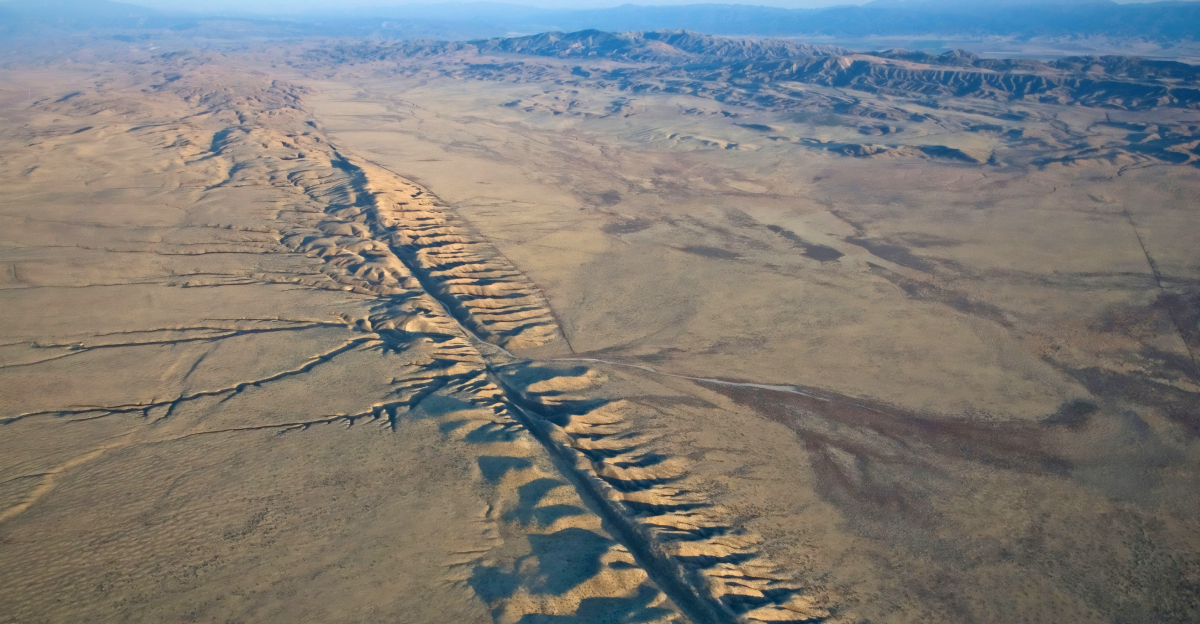
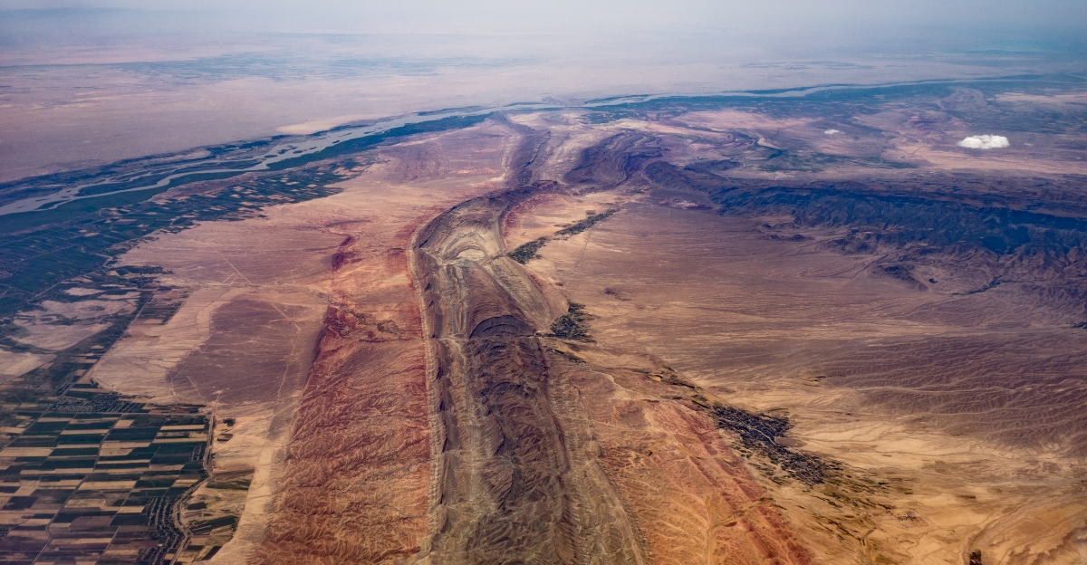
Beneath the idyllic coastlines of Northern California and the Pacific Northwest lies the Cascadia Subduction Zone—a 700-mile-long megathrust fault where the Juan de Fuca plate grinds beneath North America.
It has been forebodingly quiet for centuries, absorbing and accumulating unimaginable energy. Scientists now warn that this dormancy is not a sign of safety, but rather a suspenseful wait for something terrible.
Why This Fault Is Different From All Others
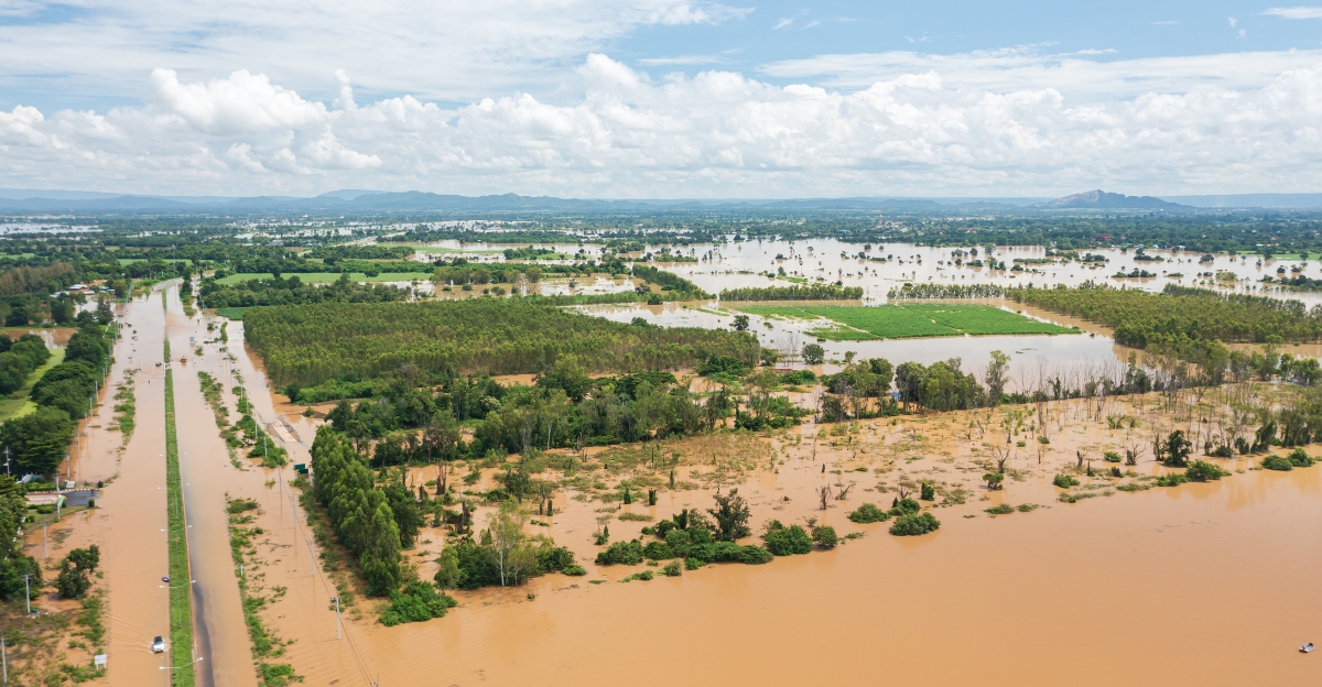
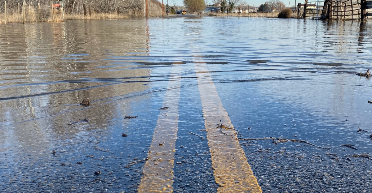
Unlike the well-known San Andreas fault line, Cascadia’s size and locked zones make it particularly dangerous. When it ruptures, it won’t just shake the ground, it will drop entire coastlines into the sea, sinking the region in as much as six feet of water within minutes.
Coastal neighborhoods, ports, and infrastructure would suddenly be below sea level. This “sudden subsidence” would immediately increase the 100-year flood plain by up to 116 square miles, putting thousands more in danger overnight.
Tsunami: The Second Wave of Disaster
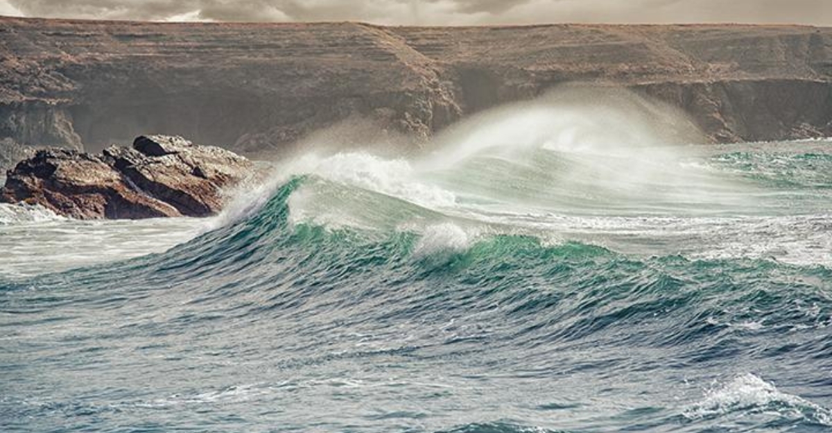
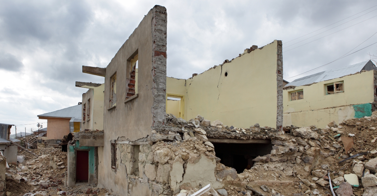
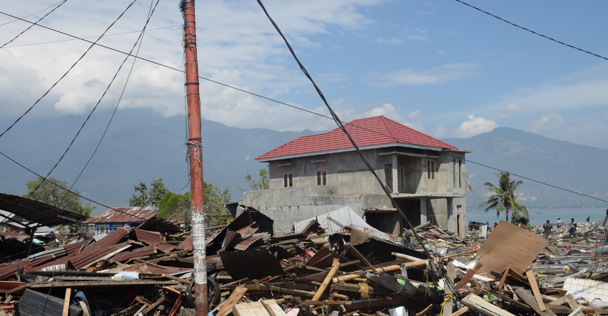
Should the fault line erupt and trigger a megaquake, a tsunami wave as high as 100 feet could come crashing down minutes later, wiping out what the earthquake spared. This devastation would be enormous; not unlike the wreckage depicted in the 2015 “San Andreas” movie.
This level of damage, loss and ruin is something we’ve seen before, centuries ago. Except now, everything is different. Urban areas are expansive, and population numbers are higher, making this type of event almost apocalyptic.
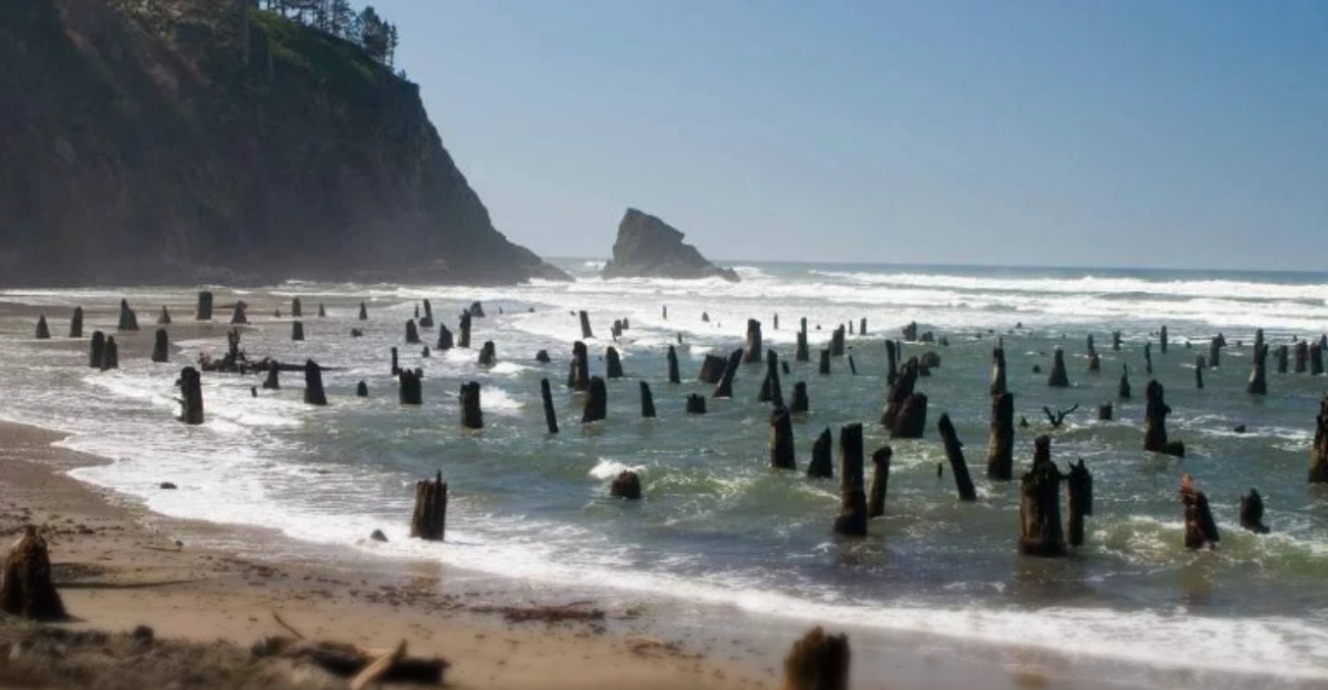
History Repeats: Lessons from 1700
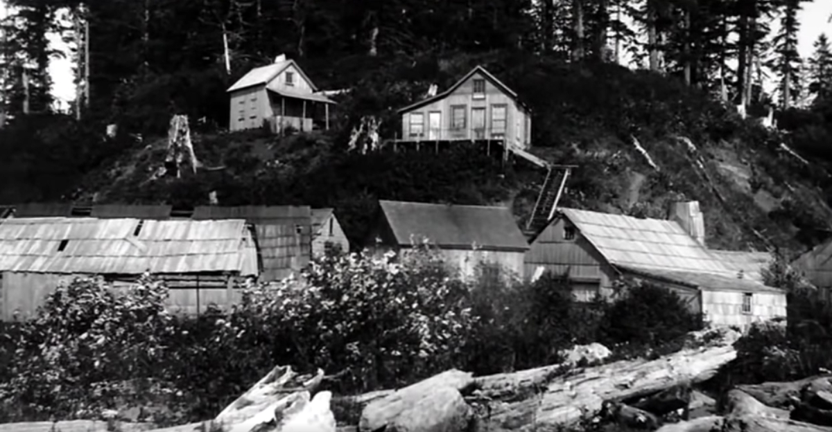
The last Cascadia megaquake took place on January 26, 1700. Native American legends and Japanese records tell of forests flooded, villages destroyed, and coastlines reshaped permanently.
Current science confirms these traditional stories as ghost forests and wetlands provide evidence of the land’s abrupt subsidence. Further, this megaquake had ripple effects that reached far beyond the Pacific coastline as it sent waves all the way to Japan, resulting in an “orphan tsunami”.
Four Segments, Four Scenarios
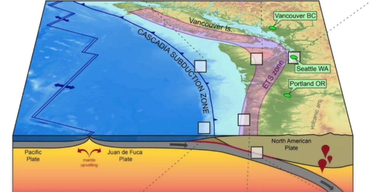
The Cascadia Subduction Zone is not a single fault line but rather four distinct segments. Each of these can break away on its own or in conjunction with the others, so the threat is not a single “Big One” but a series of possible disasters.
New seismic imaging suggests these segments can either buffer or reinforce each other, which makes predicting its activity even more complex.
Climate Change: A Compounding Threat
Climate change is likely to dramatically amplify the destruction caused by the Cascadia Subduction Zone earthquake. As sea levels rise, the land that the quake will sink will be even more vulnerable to chronic flooding, tripling the number of people, buildings, and roads at risk by 2100.
This compounded threat could render some coastal communities uninhabitable, shut off from the rest of the state, and severely disrupt critical infrastructure and local economies.
Odds Are Worse Than You Think
Scientists estimate that there is a 10–15% chance that we will experience a full-scale magnitude 9 earthquake in the next 50 years, with up to a 37% chance for magnitude 8+ on southern segments.
The impact will be utter decimation as critical infrastructure—schools, hospitals, airports, wastewater treatment plants—is directly in the line of fire. When the earth opens up, these lifelines could be flooded or cut off, making rescue and recovery a logistical nightmare.
Most disturbingly, the region has already gone longer without a quake than 75% of intervals in the last 10,000 years. So, the odds may not be in our favor for much longer.
The Domino Effect: One Fault to Rule Them All
Should the Cascadia Subduction Zone erupt, it would also trigger other faults, such as the San Andreas fault line, which runs between the Pacific Plate and the North American Plate, setting off a domino effect of seismic devastation.
The 2022 Ferndale earthquake showed that even relatively minor events have the ability to trigger months of slip on the megathrust, predicting a future in which one disaster begets another.
Not Just Local: A National and Global Crisis
The economic shockwaves would reverberate across the U.S. and the globe. Supply chains, tech hubs, and even space missions would be impacted, as California’s ports and data centers close.
Subsequently, real estate markets will crash as insurers reassess the risks, sending premiums sky high. Entire communities could become uninsurable or uninhabitable, triggering mass migrations and reshuffling regional demographics.
The price tag would be in the hundreds of billions of dollars, with both local and global markets feeling the aftershocks.
Tech and Science: New Hope or False Security?
The ripple effect doesn’t stop at the earth’s surface. The West Coast’s space launches, tech campuses, and undersea cables would all be at risk of disruption, with global repercussions for communications, research, and innovation.
Advances in seismic imaging and early warning systems provide some hope, but as Reddit’s geology community reminds us, prediction remains complex and elusive. So, for now, the most sensible recommendation remains: be prepared, not paralyzed.
Emergency Plans: Are We Ready?
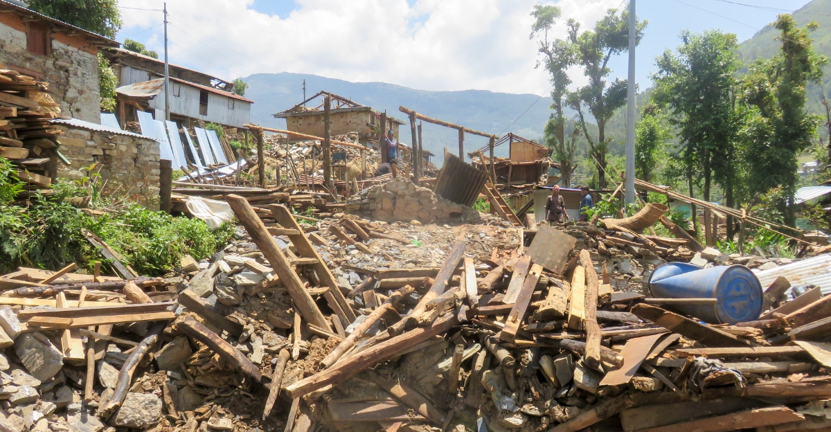
Despite decades of warning, most cities are woefully unprepared. The majority of the state’s structures pre-date seismic codes, and those that are newer are designed to survive short, sharp earthquakes—not the long, rolling devastation Cascadia could inflict.
Further, coastal communities are at greater risk as they may become isolated into “islands” by landslides and bridge collapses, making neighborly support and local preparedness critical for survival and early recovery.
Preparing for the Worst

California and neighboring states should prepare for the Cascadia earthquake by building emergency kits with two weeks’ worth of supplies, practicing evacuation and communication plans, and participating in drills like the Great ShakeOut.
Governments should continue to update response plans, such as California’s Cascadia Subduction Zone Earthquake and Tsunami Response Plan, and retrofit buildings, while residents should secure heavy furniture, learn how to shut off utilities, sign up for alerts, and stay informed about local hazards.
The Human Toll: Communities at Risk
While coastlines and natural landscapes will be affected by Cascadia’s eventual rupture, the human toll is equally staggering. Experts predict up to 14,000 deaths, 100,000 injuries, and 22,500 buildings in new flood areas.
Indigenous and rural communities, often located on low-lying estuaries, face disproportionate risk and a major delay in recovery response times.
Facing the Truth: Calm in the Chaos
The Cascadia Subduction Zone is not the result of a Hollywood fantasy come to life, nor is it an internet meme. It’s a genuine and impending danger, backed by centuries of geologic history and the latest science.
The next megaquake won’t just shake the Earth beneath our feet; it’ll reshape the Pacific Northwest coastline entirely for generations to come. The only way forward is through preparation, and a willingness to learn from the past and trust in the latest research.
As the ripple effects of this potential catastrophe spread, the question isn’t whether the Pacific Northwest will sink, but how we’ll rise to meet the challenge and survive.