Meteorologists say Hurricane Lorena’s remnants are barreling toward the Southwest and southern Plains, raising alarms for power blackouts and travel headaches. Arizona, Colorado, Kansas, New Mexico, Oklahoma, Texas, and Utah are bracing for torrential rain with the Weather Prediction Center warning that communities could soon face surging floodwaters.
According to the National Weather Service, saturated soils and uncertain storm tracks add another layer of risk, and local officials urge residents to monitor advisories and gear up for possible outages as the weekend unfolds.
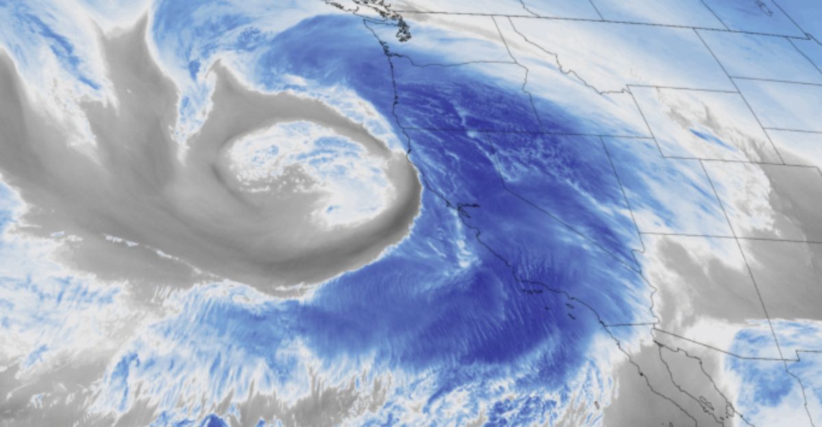
Lorena’s Powerful Moisture Plume Arrives
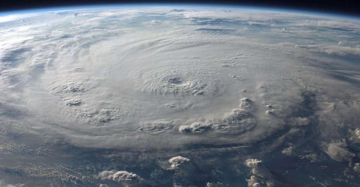
Lorena developed over the Pacific, hammered Mexico’s Baja region with drenching rain, then swept its moisture straight into the U.S. Southwest. The National Hurricane Center notes Lorena quickly diminished to a tropical storm, but the leftover moisture surge remains formidable.
As these rain bands move in, forecasters emphasize the importance of keeping tabs on Lorena’s evolving path, because the timing and track matter for how intense conditions will get through Monday.
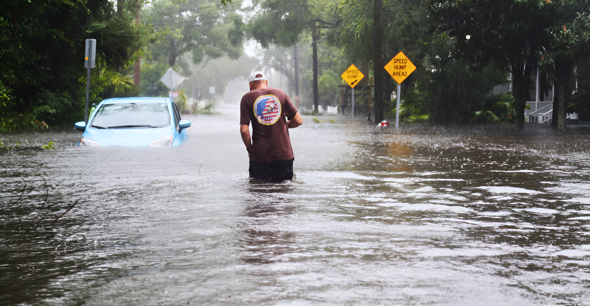
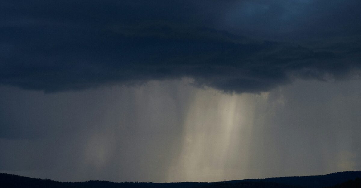
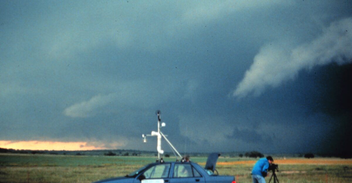
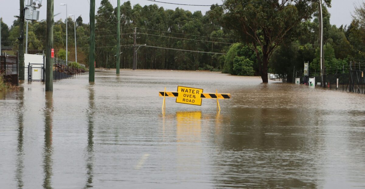
Flash Flood Potential Hits Multiple States

The National Weather Service has issued flood watches across Arizona, New Mexico, and Texas, with isolated areas at risk of receiving more than five inches of rain. Recent drought conditions leave the region particularly vulnerable, as dry soil struggles to absorb sudden heavy rainfall.
Meteorologist Matt Lanza notes that flood watches extend from parts of California into Phoenix and Tucson. If heavy rain develops as forecasted, flash flooding could occur rapidly, potentially making travel unsafe. Residents are urged to monitor updates, avoid non-essential driving, and prepare for sudden changes in local conditions.
The Flash Flood Corridor Explained
According to the Weather Prediction Center, there’s almost a bullseye corridor where flash flooding risks are highest, stretching from Arizona through northern Texas. Convective storms bring intense rain and a powerful punch of wind.
The mountains and deserts ramp up runoff, funneling it into urban areas and valleys. That’s why residents are told to watch for warnings and avoid crossings where waters can surge without warning.
Roads, Bridges, and the Power Grid at Risk
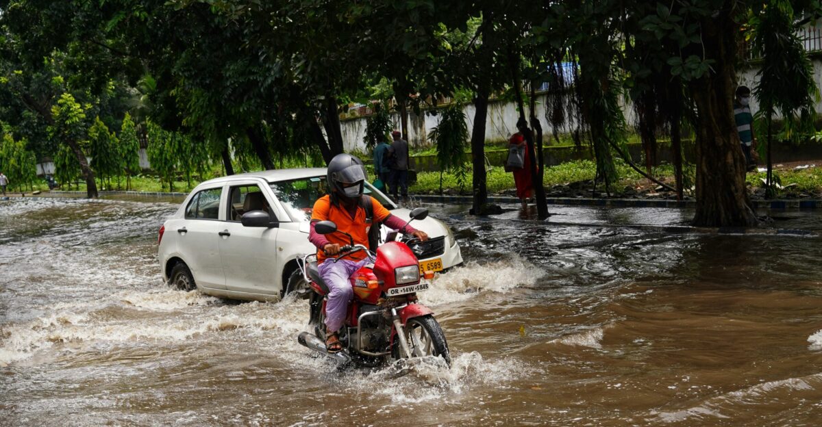
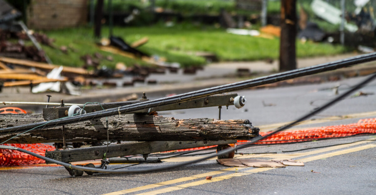
Surging waters threaten more than just streets; they’re putting major strain on infrastructure. With rural roads and city drainage systems tested, urban centers face a double whammy as flash flooding may hit electrical systems.
Public officials and AccuWeather experts tell people to avoid driving through floodwater and prepare for possible outages. Utility teams are on alert and ready in case lines and poles fall victim to the coming wind-driven storms.
Blackouts Loom as Storms Intensify

The more Lorena’s track shifts, the greater the blackout risk. As AccuWeather’s Alex DaSilva puts it, convective storms in the area can produce damaging winds and outages.
Emergency crews and power companies are staging quick-response teams. With substations and transformers in the line of fire, the guidance is clear: prep for multi-day disruptions, stock up on essentials, and check backup generators before the worst arrives.
Arizona in the Storm’s Crosshairs
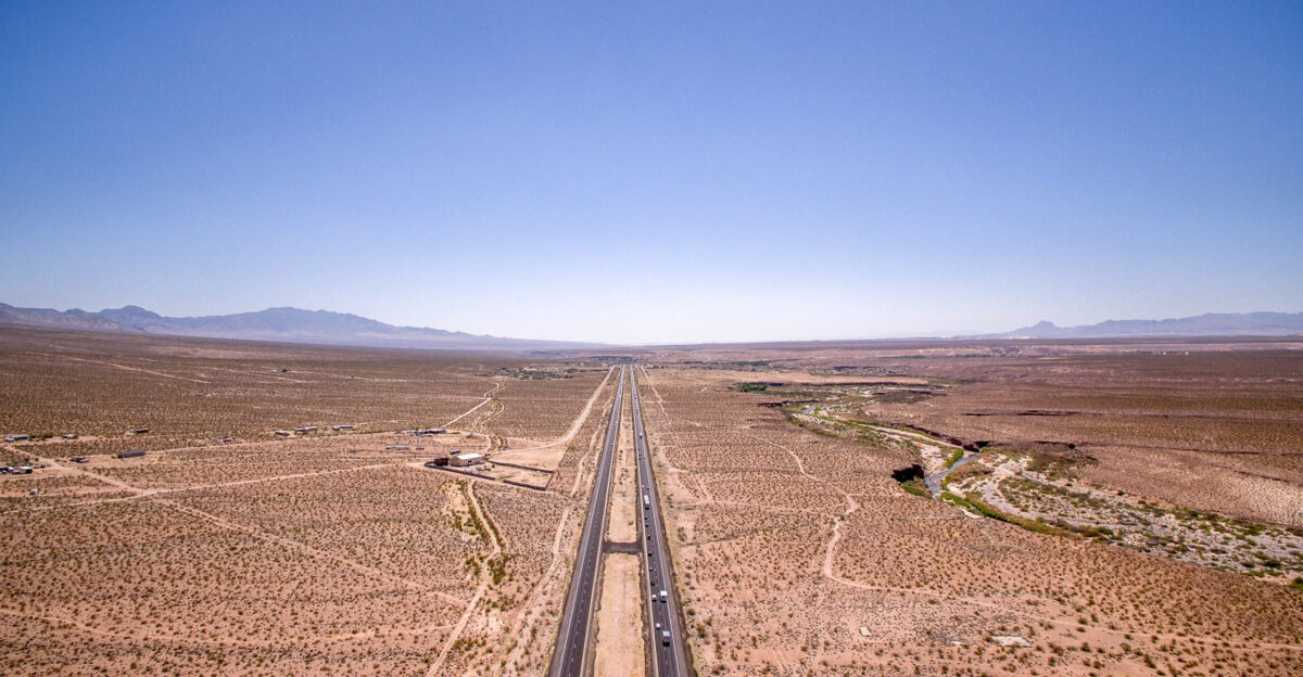
Arizona residents are being told they’re at the epicenter. Meteorologist Scott Kleebauer points to intense moisture set to blanket Phoenix, Tucson, and the mountain foothills, especially between Friday and Monday.
Emergency shelters are opening, and flood watches are in place. The highest risk? Low-lying desert suburbs and canyon areas, where rain rates could top two inches per hour, enough to overwhelm local drainage quickly.
New Mexico’s Unique Vulnerability
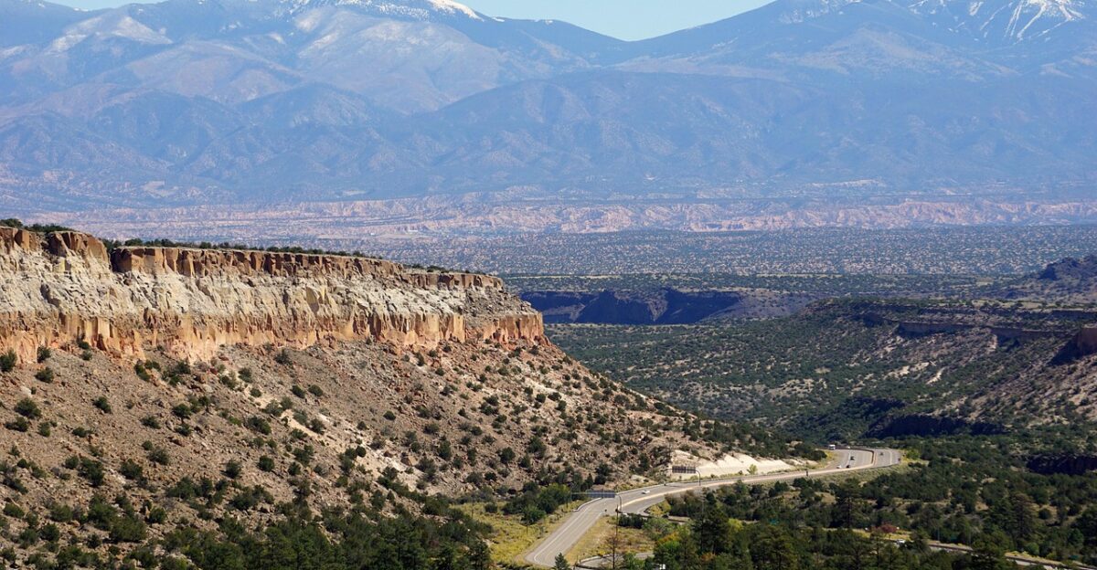
New Mexico faces up to five inches of rain, especially in southern and elevated terrain. The state’s ongoing drought makes it a flash flood hotspot. Emergency responders stress, “Seventy percent of New Mexico is in drought,” leaving the ground unable to absorb runoff.
Residents are advised to carefully watch for alerts, avoid risky roads, and expect waters to swell suddenly, creating serious hazards for travelers and homeowners alike.
Texas Faces a Weather ‘Wild Card’

Texas isn’t out of the woods, with the NWS calling the situation a “question mark.” Rain may sweep in, fueled by moisture from Lorena, targeting areas along and south of Interstate 20.
Recent weather patterns have shown Pacific storms can combine forces with local conditions, raising the odds for flash flooding. With forecasts shifting daily, state officials want Texans to tune in to boundary changes and take warnings seriously as the week unfolds.
Colorado and Kansas On Alert
As the moisture plume travels northeast, flash flood watches now affect Colorado and Kansas. Bands of storms could dump rain suddenly, with meteorologists warning of travel delays and possible infrastructure damage.
Short bursts of wind may fell trees, causing blackout threats. Utility crews are gearing up, ready to respond if storm damage cuts power to neighborhoods or vital services.
Oklahoma and Utah Brace for Downpours
Oklahoma and Utah are preparing for clusters of heavy showers and isolated thunderstorms. The Weather Service highlights fast-shifting conditions, from dry spells to hazardous storms, all capable of flooding roads and cutting off energy supply.
Meteorologists urge residents to steer clear of flooded streets and be wary of hidden debris or unstable surfaces—sometimes, the danger is just beneath the water’s surface.
The Forecast: Uncertainty Prevails
Forecasters like Alex DaSilva remind us that Lorena’s full impact hinges on how the storm tracks. Some areas may dodge the worst, while neighbors could face deluges, flooding, and potential power outages. Rainfall totals remain unpredictable, with localized pockets possibly exceeding forecasts, especially in low-lying or urban areas where runoff can accumulate rapidly.
Experts caution that flash floods can develop in minutes, and gusty winds could topple trees onto power lines, compounding risks. “Impacts depend heavily on track,” they say, urging residents to stay vigilant and prepared, as convective cells may trigger extreme weather suddenly, even in areas that seem safe now.
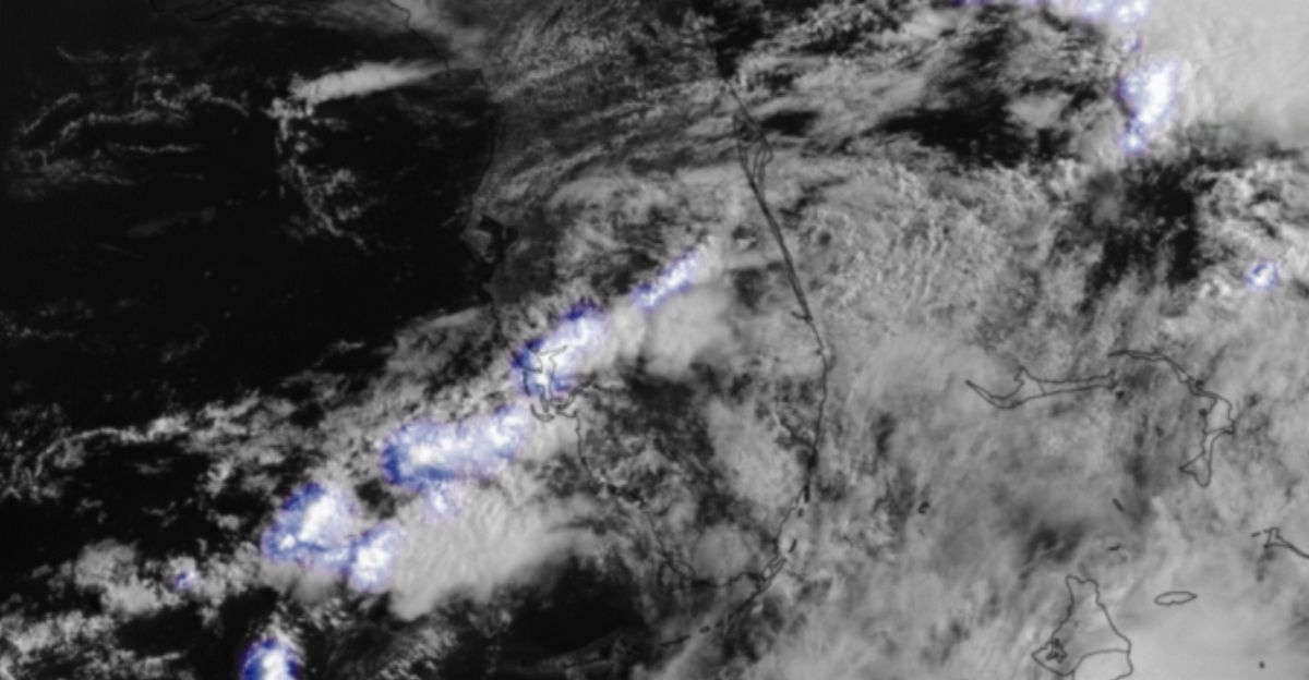
Rainfall Outlook Signals Urgency
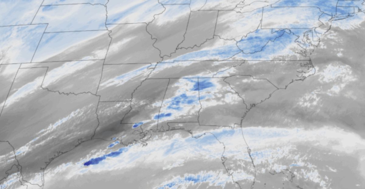
Looking at this week’s Excessive Rainfall Outlook, the Weather Prediction Center says we’re in for a stretch of “heightened flash flood risk.” High atmospheric moisture sets the stage for thunderstorm clusters, some packing a punch.
Officials encourage everyone to stay informed about local warnings, as rainfall could top guidance figures and spur dangerous urban flash floods before the weekend is over.
Cities Step Up Preparedness

With Lorena’s moisture in play, local emergency managers prepare for potential flooding by distributing sandbags, readying shelters, and stationing repair crews. Public works teams are clearing debris, monitoring drains, and ensuring key routes remain passable.
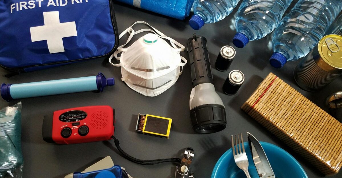
Officials stress that even shallow water on roads can be dangerous, advising residents to avoid driving through flooded areas. Families are encouraged to keep flashlights, batteries, and first aid kits handy, as power outages or sudden road closures remain a real possibility.
What Residents Need to Know
Safety is the top priority as Lorena’s remnants move through the Southwest. Following National Weather Service guidance, meteorologists remind residents: “Turn around, don’t drown.” Even shallow water can conceal hidden hazards, and driving through flooded areas remains extremely dangerous.
Utilities advise reporting outages promptly to ensure rapid response, while families are encouraged to secure important documents, keep emergency supplies close, and check on neighbors. Small preparations like charged devices, stocked first-aid kits, and mapped evacuation routes can make a significant difference if flash floods or power disruptions occur unexpectedly.
Power Crews Mobilize Statewide
With blackouts a real threat, utility companies are marshaling crews near predicted flood zones. AccuWeather reports teams are on standby and ready to fix downed lines as soon as they’re safe.
Emergency planners caution that outages could last days if hardware like transformers gets hit. Those with medical or power-dependent needs are urged to have backup plans and monitor outage maps closely for updates.
Travel Woes Could Spread
Rain, flash floods, and debris flows will likely disrupt travel in and out of impacted regions. Meteorologists at the NWS and AccuWeather say highways, city streets, and backroads could shut down quickly.
Law enforcement will announce detours and closures, and airports expect flight delays or cancellations in storm-affected metro areas. If you’ve got travel plans, check schedules and stay flexible until the threat passes.
Flash Floods: A History Lesson

Tropical Pacific storms have a history of sending moisture-rich systems into the U.S. Southwest. Earlier this season, storms like Barry and Flossie caused significant flooding in central Texas, highlighting the region’s vulnerability. Meteorologists note that warmer, wetter years increase the likelihood of record-breaking rain rates, as dry soil cannot absorb sudden heavy rainfall.
Lorena’s remnants could follow this pattern, bringing extreme precipitation and flash-flood risks to parts of Arizona, New Mexico, and Texas. Experts say these trends reflect a broader shift in climate conditions, making sudden, heavy rainfall events increasingly common.
Staying Connected and Informed
Experts recommend signing up for official emergency notifications and keeping close tabs on the National Weather Service, Weather Prediction Center, and AccuWeather for the freshest updates. Local radio, TV, and the internet are also key.
The weather can change fast, so having reliable information, plus tips from FEMA and local agencies, helps residents stay a step ahead, no matter what the storm brings.
Preparedness Is the Watchword
As hurricane season continues, meteorologist Alex DaSilva reminds residents: “Preparedness is key as we face uncertainty.” With Lorena’s remnants approaching, property should be secured, flexible travel plans should be maintained, and alertness should be maintained through the weekend and Monday.
All guidance comes from official sources, including the National Weather Service and local emergency managers. Experts urge taking early action, stocking essential supplies, and monitoring updates closely—small steps now can prevent major risks if flooding or wind impacts materialize. Staying proactive is the best way to protect lives, homes, and routines.