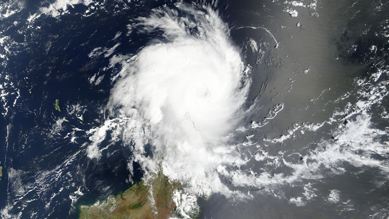
In the middle of the south-central Indian Ocean, a powerful storm named Tropical Cyclone Dudzai formed and grew incredibly fast. Its winds jumped from 70 mph to more than 130 mph in just a few hours, powered by warm sea temperatures above 26.5°C. The strong winds stirred giant waves up to 8 meters high, spreading across open waters and nearby shipping routes.
Dudzai intensified quickly because it moved very slowly, only about 1 to 2 knots, over very warm ocean water. This allowed the storm to continually absorb heat and energy, strengthening without interruption. Within a single day, its winds nearly doubled, and its central pressure dropped below 950 hPa, which is a sign of a very intense cyclone. Among all the storms of 2026, none developed faster than Dudzai.
Slow-moving storms like this make forecasting difficult. Even small errors in predicting their paths can cause big problems for ships or distant islands. That’s why Dudzai immediately became a serious concern for forecasters and marine operations across the region.
A Busy Cyclone Season
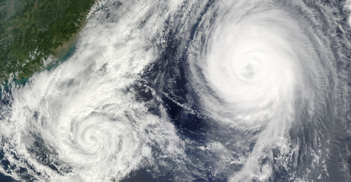
The 2025–26 cyclone season in the South-West Indian Ocean was already active before Dudzai appeared. It began early, with a tropical depression forming in July 2025, followed by storms named Awo, Blossom, and Chenge. In late December, another major system, Cyclone Grant, reached winds of 205 km/h as it passed near St. Brandon. These earlier storms helped create conditions that made stronger ones more likely to follow.
Dudzai formed on January 10, about 800 kilometers southeast of the Chagos Archipelago. Historically, powerful cyclones in this region are rare in January, making Dudzai unusual both for its timing and strength. The storm quickly became one of the most significant weather events of the season.
Dudzai grew under nearly perfect conditions for cyclone formation, very warm water, weak wind shear (meaning the upper and lower air layers were not fighting each other), and humid air that kept the storm’s core intact. With all of these factors combined, the system evolved rapidly from a tropical disturbance into a named storm and then into a major cyclone.
Peak Intensity and Ocean Impacts
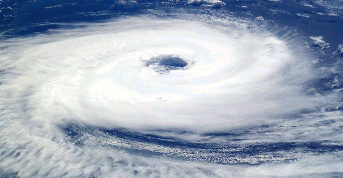
By January 12, Dudzai had reached “Intense Tropical Cyclone” status, which is similar to a Category 4 hurricane on the Saffir-Simpson scale. Its winds were close to 230 km/h, making it the strongest storm anywhere in the world so far in 2026. The cyclone’s peak strength came when it was roughly 1,200 to 1,300 kilometers from Diego Garcia, a small but important military base in the region.
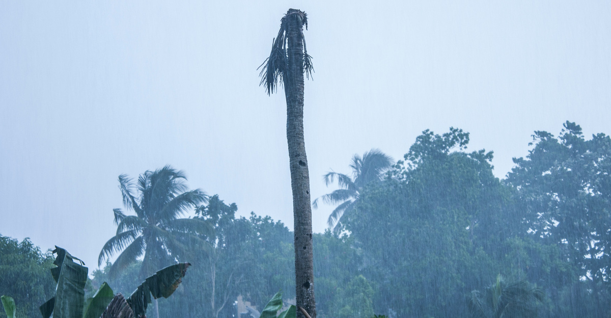
Even though Dudzai never hit land directly, its enormous waves and swells made the surrounding seas extremely dangerous. Merchant ships traveling between Asia, Africa, and the Middle East had to take longer routes to avoid the storm, burning more fuel in the process. The Global Disaster Alert and Coordination System rated the overall human impact as low because few people live in the area. However, it also warned that marine conditions were “dangerous to very dangerous.”
At Diego Garcia, U.S. and U.K. personnel went on high alert. Even from a distance, the storm caused strong gusts and high seas that threatened port operations. Workers secured aircraft, reinforced docks, tied down fuel lines, and prepared for possible runway closures. These actions followed plans developed from previous encounters with strong cyclones such as Chenge.
Lessons from Dudzai
Meteorological centers like the Joint Typhoon Warning Center kept close watch on Dudzai, issuing regular updates about its changing path and strength. Ships were redirected, and military units reviewed their emergency procedures. Later forecasts showed that the storm was shifting southwest, which reduced the risk to Mauritius and Rodrigues Island. Eventually, wind shear began to weaken Dudzai as it moved into cooler air.
By mid-January, six named systems had already appeared in the region, including two, Dudzai and Grant, that had both reached 205 km/h winds. Dudzai’s lowest pressure of 937 hPa, together with its powerful winds, illustrated a broader climate trend: oceans around the world are warmer, which helps cyclones grow faster and stronger. Because Dudzai moved so slowly, hovering over 28°C water, it maintained its Category 4 strength for longer than usual, sending large waves across thousands of kilometers.
After the storm passed, crews at Diego Garcia reviewed their response efforts. They found that while their preparations held up well, forecasting tools still need improvement to predict sudden rapid intensifications like Dudzai’s. Meteorologists noted that global models often underestimate such storms when they form over very warm water.
With the cyclone season continuing through April 2026, Dudzai’s unusual speed, strength, and timing serve as a reminder of the risks facing the region. As global sea temperatures keep rising, scientists expect more storms like it, fast-growing, powerful, and increasingly difficult to predict.
Sources:
Wikipedia, 2025–26 South-West Indian Ocean cyclone season, 23 November 2023
GDACS, Overall Green alert Tropical Cyclone for DUDZAI-26 – in Mauritius, 12 January 2026
GDACS, Overall Green alert Tropical Cyclone for DUDZAI-26 – GDACS Meteo Report, 9 January 2026