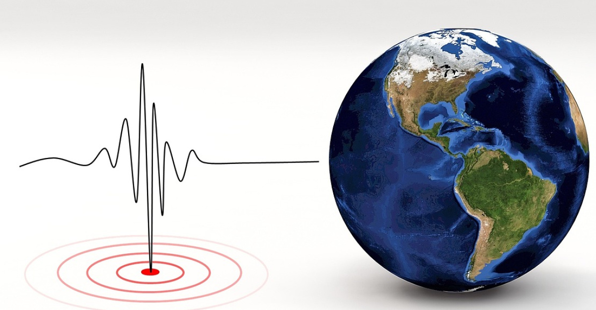
In September 2023, seismometers on every inhabited continent detected the same strange phenomenon: a steady hum radiating from Earth’s crust every 90 seconds for nine straight days.
Scientists worldwide rushed to identify the source, but found no earthquake signature, no tectonic shift, and nothing matching their databases.
The signal eventually vanished, leaving researchers puzzled and institutions holding emergency meetings to determine what had caused the planet to ring like a bell.
The Mystery Deepens
The rhythmic pulsing crossed hemispheres instantly. Sensors in Alaska and Australia detected it simultaneously. Major research institutions from Tokyo to Berlin mobilized teams to locate the source.
Scientists ruled out volcanic activity, submarine earthquakes, and solar disturbances. They openly admitted uncertainty—extremely rare in seismology. The signal’s perfect mathematical pattern, with an 11.45 millihertz frequency, suggested either an engineered source or an entirely new natural phenomenon, driving urgency to solve what media outlets called the “unidentified seismic object” (USO) mystery.
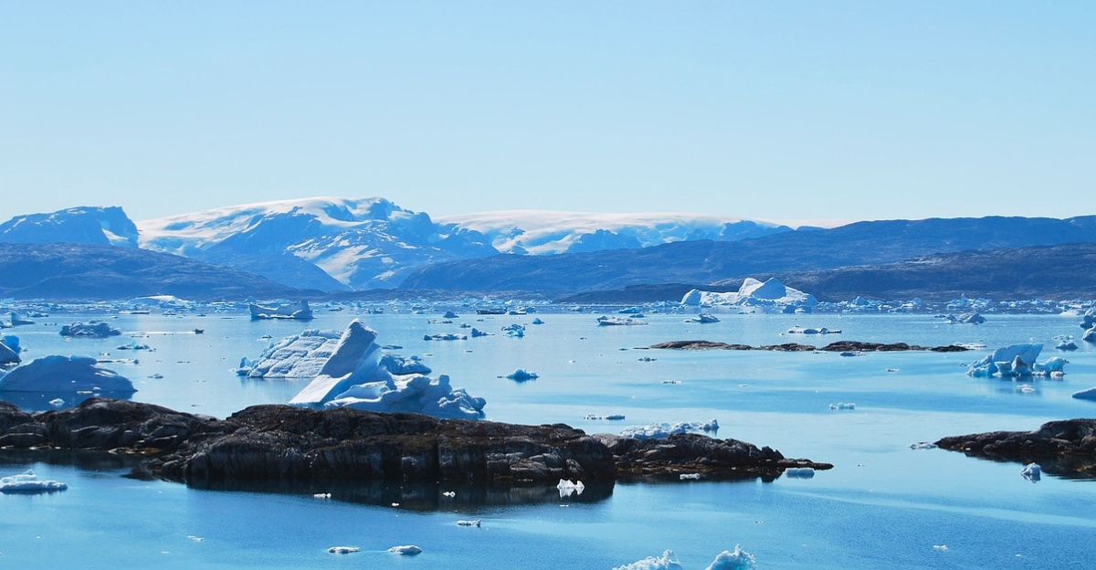
Arctic Warming’s Hidden Risk
Glaciologists have warned for decades that Arctic warming poses direct threats, including faster ice melt, coastal erosion, and altered rainfall patterns. Yet one danger remained largely unstudied: destabilized mountains whose glaciers once supported unstable slopes.
Arctic temperatures rose by 0.43°F per year between 2010 and 2023. Glacier thickness declined, removing the protective support from mountainsides that had been stable for millennia—a process called “glacial debuttressing” that made frozen peaks vulnerable to catastrophic collapse.
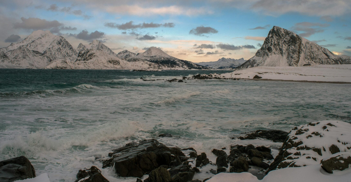
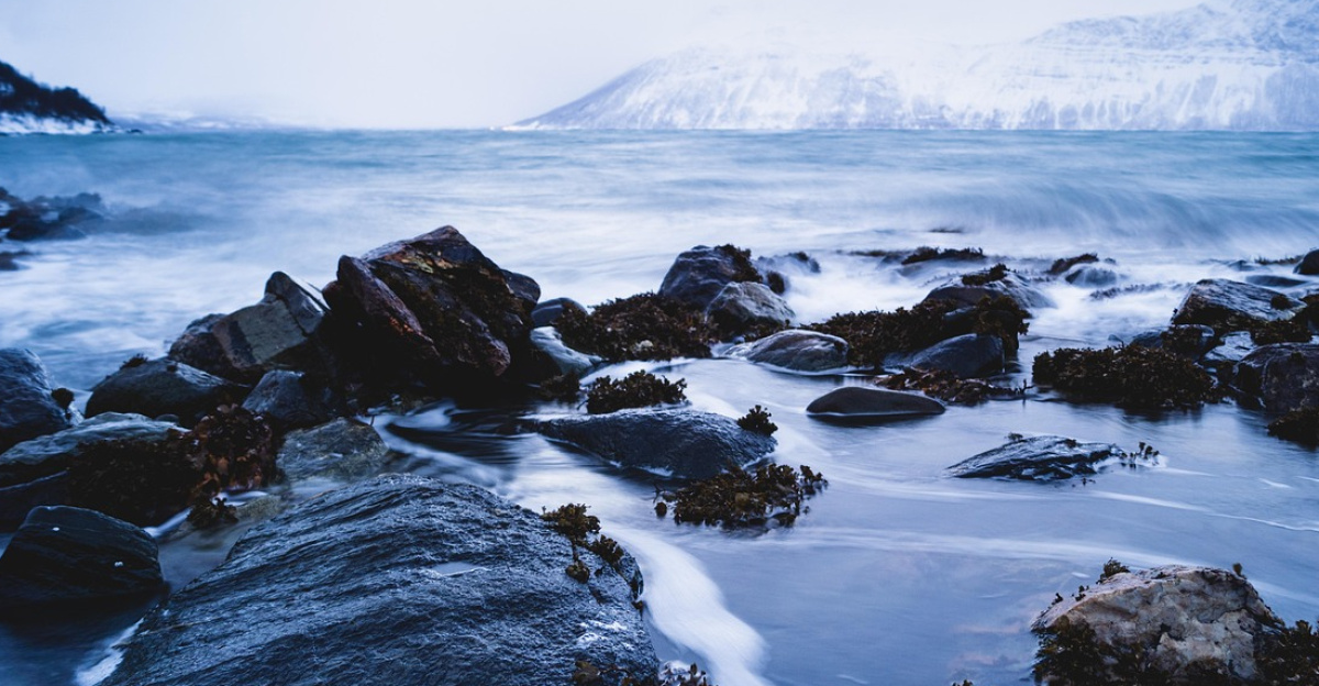
Northeast Greenland’s Hidden Pressure
Dickson Fjord, a narrow inlet in Greenland’s remote northeast, lay 124 miles from the open ocean, wedged between 4,000-foot mountains. Researchers noted accelerating glacier thinning for decades, yet the fjord remained largely unmonitored.
The geography proved hazardous: steep walls, a narrow width (roughly 1.7 miles), and an extraordinary depth (1,772 feet) created unique conditions. In autumn 2023, these geological factors combined with climate-driven collapse, setting the stage for an unpredictable event.
The Collapse
On September 16, 2023, at 12:35 UTC, 25 million cubic meters of rock and ice—matching 25 Empire State Buildings—tore free from a mountainside above Dickson Fjord and fell into water at 138 feet per second.
The impact created a tsunami with an initial wave height of 656 feet, making it the second-tallest tsunami in modern history, surpassed only by Alaska’s 1,720-foot Lituya Bay wave in 1958.
The fjord’s narrow geography and immense depth became a trap, transforming the initial wave into a standing wave that was trapped and bounced against the fjord walls for days.
Impact in an Empty Landscape
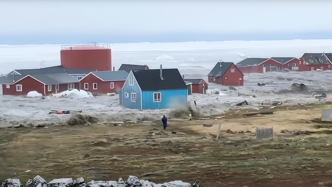
The landslide struck one of Earth’s most remote regions—no towns, no permanent populations, no fishing villages nearby.
Yet, disaster still caused damage: seismic energy destroyed $200,000 worth of monitoring equipment positioned 45 miles offshore. Satellite images revealed that the fjord’s water surface had transformed overnight, with fresh sediment visible from space.
The narrow inlet acted as a shock absorber, trapping the wave’s energy and preventing its release into the Atlantic, a geography that accidentally created conditions for the unprecedented seismic signal.
The Global Obsession Begins
Within hours of detecting the signal, 68 researchers across 15 nations launched a coordinated investigation. Dr. Kristian Svennevig from the Geological Survey of Denmark and Greenland led teams from University College London, the University of Oxford, the Royal Observatory of Belgium, and dozens of other institutions.
Lead seismologist Dr. Stephen Hicks stated: “We have never observed such significant movement of water over such an extended time.” The team knew conventional seismic analysis would fail—they needed satellite data, oceanographic models, and unprecedented collaboration.
Satellite Data Cracks the Mystery
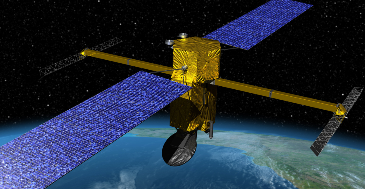
NASA’s Surface Water Ocean Topography (SWOT) satellite, built specifically to track water height changes, gathered critical evidence. SWOT data showed water slopes reaching 6.6 feet high—and critically, the slope direction reversed repeatedly, proving water sloshed back and forth.
Researchers matched these satellite observations to global seismic records, confirming that the fjord’s trapped wave—a phenomenon known as a seiche—acted like a giant piston, pressing the seafloor over 10,000 times during a nine-day period. Each impact generated the distinctive 90-second pulse detected worldwide.
Understanding the Seiche Mechanism
A seiche is a standing wave that oscillates in a confined body of water, like water sloshing in a bathtub. But Dickson Fjord’s seiche was far more powerful and long-lasting than textbooks predicted. A sharp bend near the fjord’s outlet trapped the wave, preventing escape into open water.
The fjord’s 1,772-foot depth and narrow 1.7-mile width created a resonance chamber where water oscillations initially reached depths of 26 to 75 feet. As water bounced wall-to-wall, the repeated vertical motion transferred energy directly into Earth’s crust, generating the global seismic signature that baffled scientists for months.
Climate Change Reshapes Disaster Risk

The breakthrough sparked a sobering realization: this wasn’t an isolated event but a warning sign. At least four smaller landslides struck the same location previously, and just one month after the September catastrophe, a second mega-tsunami hit in October 2023, generating an identical seismic signal.
Scientists identified the mechanism enabling both events: decades of glacial retreat eliminated ice support that stabilized the mountainside. Climate change didn’t merely melt ice—it literally destabilized Earth’s crust, triggering a chain reaction that spread globally.
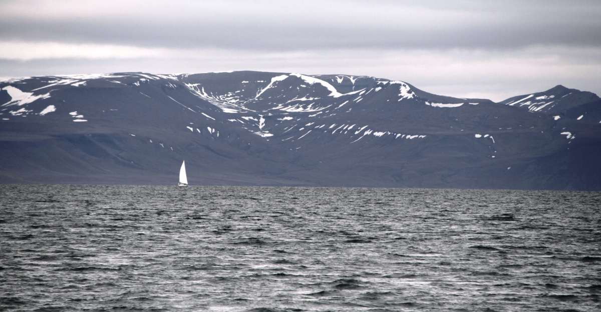
Warning Signs for Polar Tourism
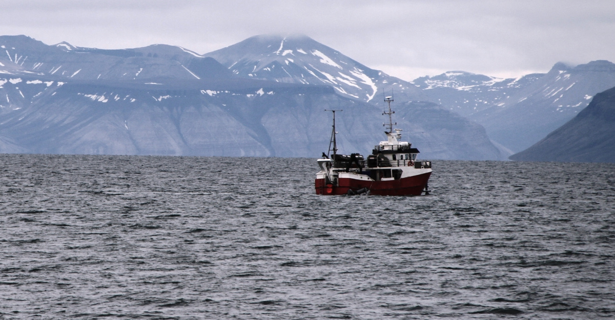
Arctic tourism has experienced significant growth, with cruise ships now regularly navigating the waters off Greenland, Iceland, and Alaska. Dickson Fjord lies in a region increasingly popular with expedition cruise lines seeking pristine Arctic landscapes.
The September 2023 landslide and seiche demonstrated that warming-destabilized fjords can generate mega-tsunamis without seismic warning or visible earthquake damage. Researchers have raised urgent concerns about the vulnerability of cruise ships in similar fjords worldwide.
One tourism operator acknowledged the risk: if such an event had struck during peak cruise season with ships in the fjord, casualties would have been catastrophic.
Permafrost Thaw Accelerates Instability
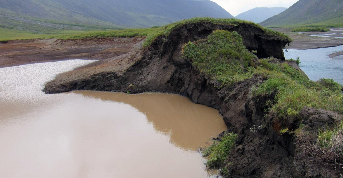
Beyond coastal fjords, the thawing of permafrost across the Arctic destabilizes mountainous terrain in vast regions. Retrogressive thaw slumps—rapid collapses of thawing frozen ground—have increased dramatically over the past 15 years, with some advancing 16 to 49 feet yearly.
Banks Island in Canada experienced hundreds of these events, many of which were triggered by particularly warm summers. Scientists now recognize that permafrost degradation and glacier debouching are coupled processes, both accelerating as Arctic warming intensifies, creating an expanding inventory of marginally stable slopes primed for catastrophic failure.
Mapping Future Risk Zones
Following the Dickson Fjord discoveries, research teams systematically surveyed fjords in Greenland, Alaska, and Svalbard to identify slopes showing advanced glacial debris transport.
Preliminary results revealed dozens of candidate locations where glacier retreat eliminated protective ice support from unstable mountain faces. These fjords share Dickson Fjord’s characteristics, including narrow geometry, significant depth, steep walls, and proximity to nearby communities or tourism infrastructure.
Dr. Svennevig emphasized that “the first time a climate change event has influenced the Earth’s crust globally” may soon repeat with greater frequency unless Arctic warming slows.
Reframing Disaster Prevention
Traditional disaster preparedness in coastal regions emphasizes earthquake early-warning systems and seismic monitoring.
Dickson Fjord’s seiche redefined these approaches for Arctic regions: the global seismic signal reached everywhere except the immediate fjord area, where people would experience the tsunami directly. Future mitigation requires real-time glacier monitoring, slope-stability assessment, and pre-positioned tsunami warning systems in remote fjords.
One Oxford researcher noted: “We cannot predict exactly when the next mega-tsunami will strike, but we know where the conditions are ripening. This shifts the conversation from ‘if’ to ‘when,’ demanding proactive investment in observation networks.”
A Planet Under Pressure

The Dickson Fjord event exemplifies a deeper crisis: as Arctic temperatures climb, geological stability breaks down in ways that bypass traditional warning systems. Two mega-tsunamis in 28 days, detected on seismometers from Alaska to Antarctica, signal a planetary shift—one where climate change doesn’t merely raise sea levels or disrupt weather, but literally shakes Earth’s crust across continents.
As permafrost thaws and glaciers shrink, will other mountains follow Dickson Fjord’s catastrophic path? Scientists agree the answer is yes, raising an urgent question: How will societies navigate a world where climate change and geological instability merge?
Sources:
- Science Journal (Svennevig et al.), Peer-reviewed study on Greenland landslide and seismic signal, 11 September 2024
- BBC, Massive Greenland tsunami shook Earth for nine days, 12 September 2024
- University College London, Climate-change-triggered landslide caused Earth to vibrate for nine days, 12 September 2024
- Nature Communications (Monahan et al.), Observations of the seiche that shook the world, 3 June 2025
- University of Manchester, Climate change triggered landslide rocked the Earth for 9 days, 16 July 2025
- Geological Survey of Denmark and Greenland, Dickson Fjord landslide investigation and global impact analysis, 2024