Snow is already piling up by the foot across the highest elevations of California’s Sierra Nevada as an early-January winter storm slams the mountains during a peak ski-season weekend.
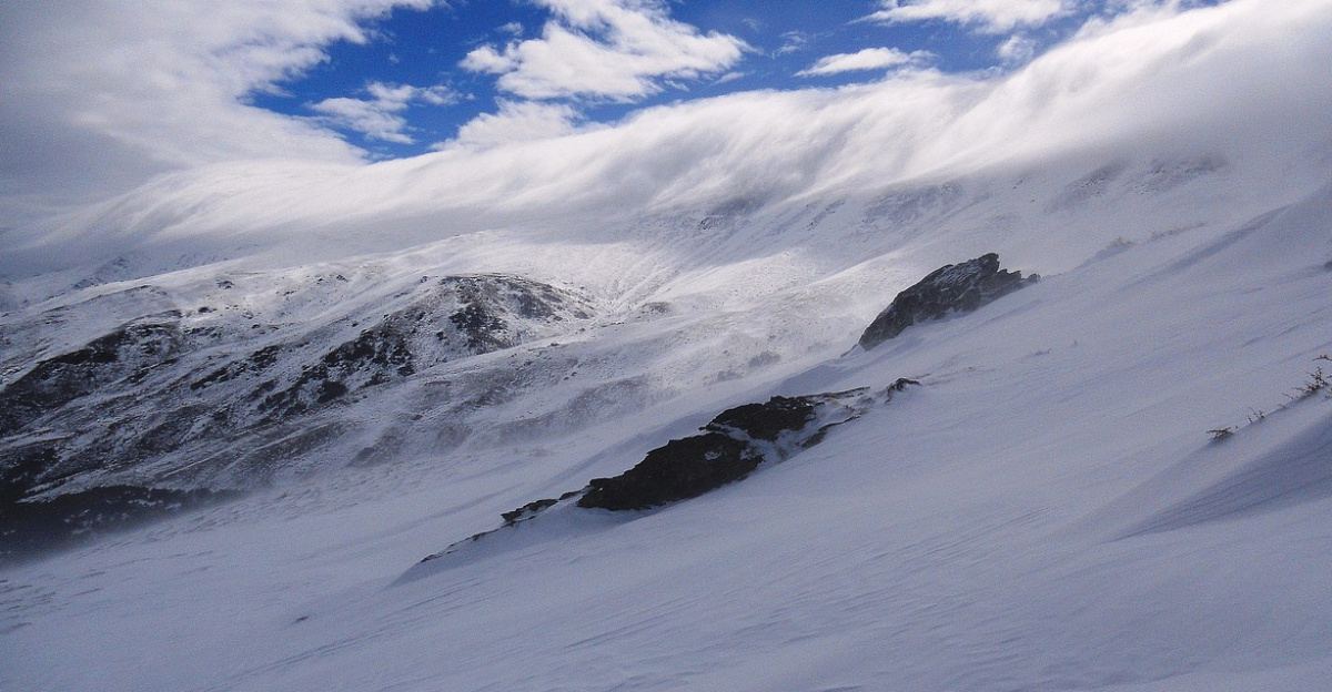
Forecasters say an unusually cold atmospheric river is driving deep Pacific moisture inland, turning highways and resort corridors into near-whiteout zones. Winds are howling over exposed ridgetops, exceeding 100 mph at the highest elevations, while road restrictions tighten by the hour.
Officials warn conditions could quickly shift from dangerous to nearly impossible as the system impacts an estimated 1.4 million residents across 23 counties.
Travel Threat
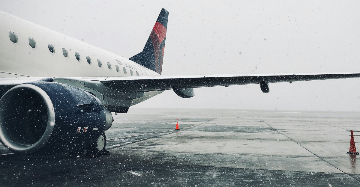
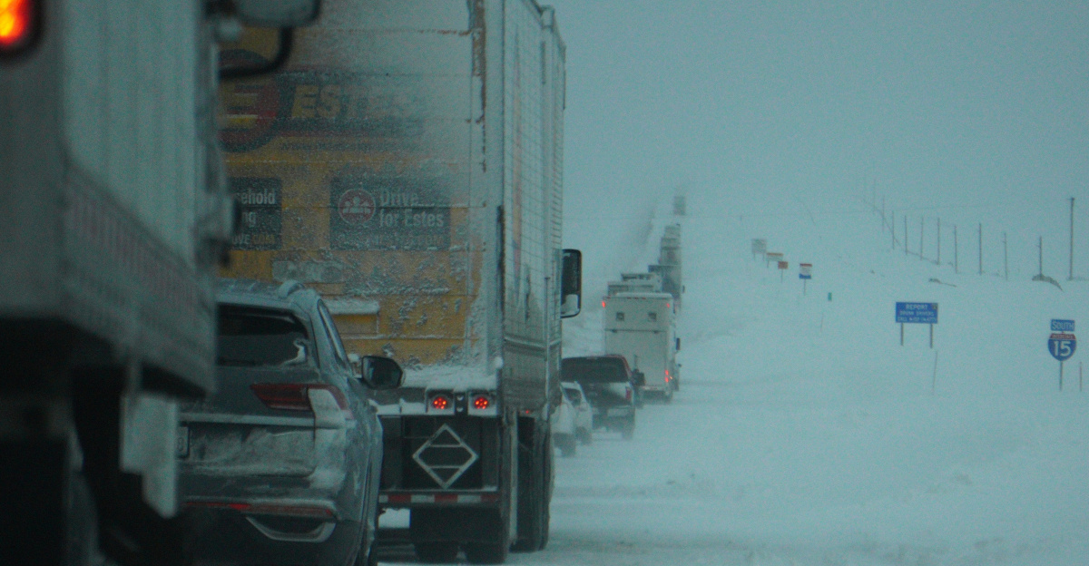
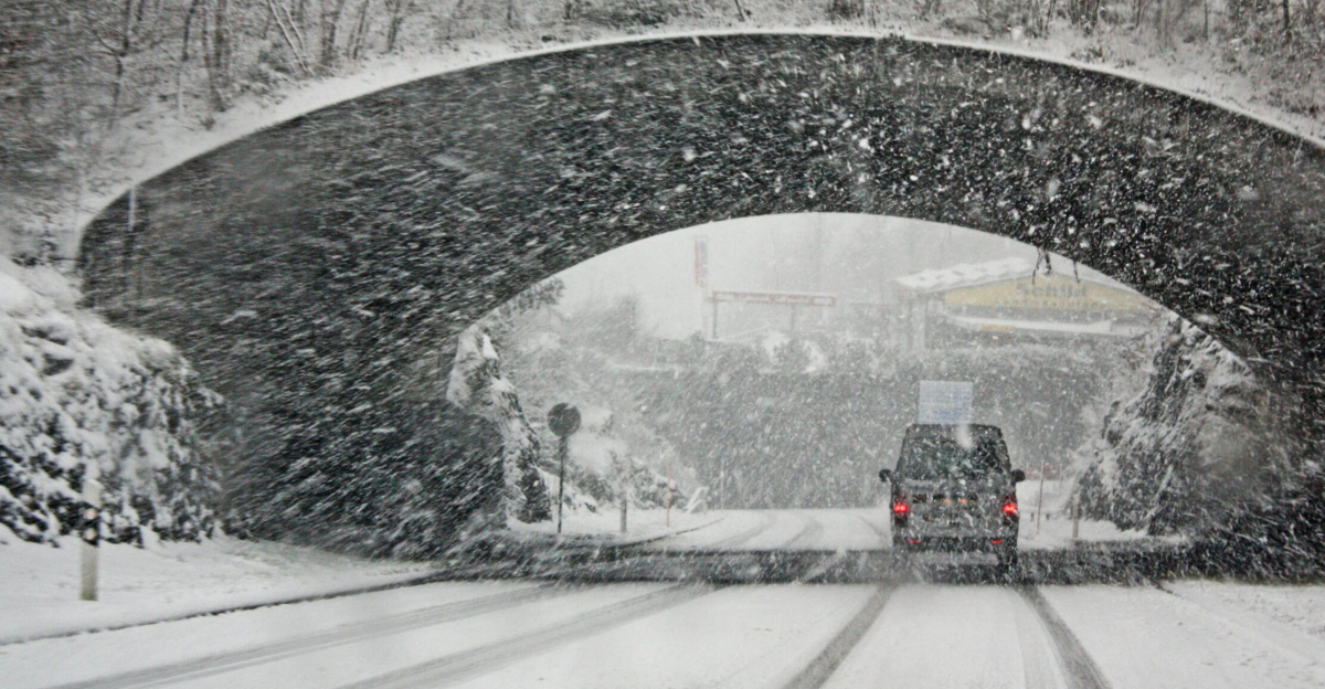
By Saturday, the main concern is no longer just how much snow will fall, but whether travelers can move at all. The National Weather Service has issued Winter Storm Warnings that explicitly caution “travel could be very difficult to impossible” over key passes, including I-80 and US-50.
Chain controls, closures, and whiteout conditions are already being reported, with an estimated 100,000-plus weekend tourists stranded in Lake Tahoe communities during peak ski season.
Officials urge people to avoid nonessential trips and to pack emergency supplies—”an extra flashlight, food, and water in your vehicle in case of an emergency”—until the storm exits.
Storm Setup

Meteorologists attribute this high-impact event to a cold atmospheric river sweeping inland from the Pacific, tapping deep moisture and colliding with the Sierra’s steep terrain. That combination forces rapid uplift, supercharging snowfall on west-facing slopes.
The storm arrives after California recorded its wettest start to a water year on record, delivering up to 5 feet of desperately needed snowpack to elevations above 5,000 feet.
Early-2026 forecast discussions highlighted a pattern of successive storms bringing heavy rain to low elevations and “multiple feet of snow” to the Sierra Nevada, setting the stage for widespread disruption.
Mounting Pressures

Pressure on infrastructure and emergency services grows as the weekend progresses. Forecasts called for winds gusting 45-60 mph in mountain passes, with ridgetop winds exceeding 100 mph at the highest elevations.
Those winds, combined with intense snowfall, raise avalanche danger to “HIGH” levels in the Central Sierra.
Transportation agencies warn that plows, avalanche control crews, and tow trucks may struggle to keep pace with rapid deterioration. Highway chain controls reduce speeds to 25-30 mph on Interstate 80 and Highway 50.
Five-Foot Bullseye
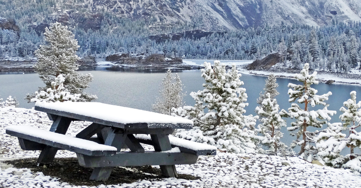
The core forecast centers on astonishing snow totals. An NWS Winter Storm Warning from 1 a.m. Saturday through 10 a.m. Monday’s snowfall for Yosemite National Park and surrounding regions is expected to range from 36 to 60 inches above 8,000 feet in elevation, equivalent to 3–5 feet in a single event.
Similar language appears in regional forecasts describing “3 to 5 feet of snow” across the highest Sierra Nevada elevations, with the heaviest accumulations focused over the weekend.
Sierra Impacts
In the Sierra Nevada, the combination of 2–5 feet of snow and strong winds is transforming popular recreation areas into isolated pockets.
Areas above 5,500 feet are forecast to receive 2–4 feet of snow through Sunday alone, with higher peaks targeted for even more.
Ski resorts are reporting delayed or limited operations due to ridgetop gusts and deep, unstable snow, while nearby communities prepare for potential road closures that may extend into Monday.
Human Toll
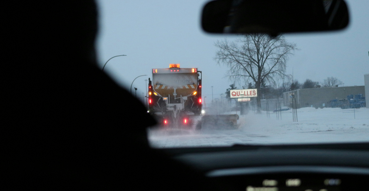
On the ground, the storm translates into stranded drivers, long delays, and anxious residents. Regional outlets report that motorists are trapped behind chain checkpoints on I-80 and US-50, with whiteout conditions and repeated spinouts forcing temporary closures.
Some ski-area visitors seek shelter at resorts while waiting for passes to reopen. More than 1.4 million residents and tourists across 23 affected counties face the prospect of being briefly cut off as snow continues to fall.
Grid Under Strain
The storm’s destructive power is not limited to roads. Heavy, wet snow and high winds threaten trees and power lines, prompting repeated warnings about outages.
NWS hazard statements explicitly note that “strong winds may cause tree damage and power outages,” while local utilities report scattered failures as branches snap onto lines.
Crews are dispatched where it is safe, but access can be delayed for hours when roads remain closed or when avalanche danger is great.
Beyond California
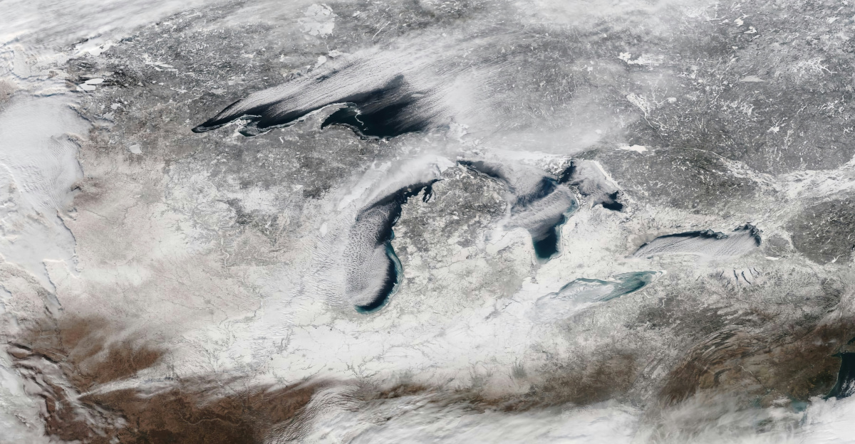
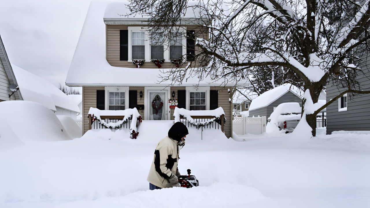
While California’s mountains dominate headlines this weekend, a parallel story unfolds around the Great Lakes. In Michigan snowbelt counties, relentless lake-effect bands have already delivered—and continue to produce—localized totals of 48 to 60 inches of snow as Arctic air crosses warm, unfrozen water.
Authorities issue travel advisories and emphasize hazardous driving, noting that “mountain-like snowfall totals” are appearing in typically flat terrain, stretching emergency resources across multiple regions simultaneously.
Hidden Vulnerabilities

A secondary consequence emerges as the weekend progresses: fragile infrastructure. In some communities, even moderate wind gusts combined with heavy snow reveal weak points in aging distribution lines and tree management.
Scattered outages highlight how quickly services can fail when access roads are blocked and repair crews cannot safely reach damaged equipment.
The storm effectively stress-tests mountain towns, exposing vulnerabilities that may require costly upgrades after the snow melts.
Frustrated Travelers
The recovery arc begins with frustration on the highways. Drivers describe hours-long backups at chain checkpoints and sudden closures that force them to turn around, sometimes after already crossing into the mountains.
Transportation officials reiterate that conditions can change rapidly and that closures are made for safety, but the disconnect between travel plans and harsh reality is stark.
Some agencies advise travelers to delay Sierra crossings until at least the early part of the workweek.
Agency Response

Inside emergency operations centers, the weekend brings constant adjustments. Local governments coordinate with NWS forecasters, avalanche centers, utilities, and transportation departments to prioritize routes, shelters, and repairs.
While no single ownership change is at play, responsibility effectively shifts among agencies as conditions evolve—from forecasters issuing warnings, to transportation crews closing passes, to utility teams restoring power. Each handoff must work smoothly to prevent small problems from cascading.
Digging Out
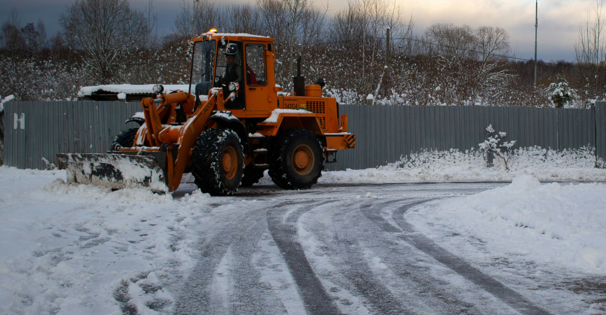
As snowfall tapers late Sunday into Monday, attention turns to digging out. Plows widen lanes, avalanche teams stabilize slopes, and ski areas gradually reopen terrain once wind and visibility improve.
Communities restock essentials and clear roofs burdened by several feet of snow. Officials stress that even as skies brighten, compacted snow and overnight refreezing can preserve icy conditions for days, keeping some secondary roads hazardous and prolonging the recovery.
Expert Caution
Meteorologists caution against viewing this weekend as an isolated event. Early-2026 analyses indicate a pattern of repeated Pacific storms delivering heavy rain and snow to the West, thereby increasing both flooding and avalanche risks.
Experts note that even when forecasts accurately flag “difficult to impossible” travel, some people still attempt to cross the mountains, amplifying rescue demands.
They argue that translating warnings into behavior remains a persistent challenge, particularly when travelers underestimate how rapidly whiteout conditions develop.
What Comes Next?
Looking ahead, forecasters will assess how this storm fits into longer-term trends of extreme winter weather in the western United States and Great Lakes.
With communities experiencing up to five feet of snow, near-impossible travel, and scattered outages in just one weekend, officials may revisit building codes, tree maintenance, and emergency planning.
The compound disaster extends across multiple U.S. states, demonstrating that even as infrastructure receives desperately needed snowpack for summer water supplies, the immediate impacts test emergency response capacity and expose vulnerabilities requiring adaptation investments.
Sources:
National Weather Service Winter Storm Warning, January 2-6, 2026
CBS News Sacramento, January 3-4, 2026
California Highway Patrol Regional Traffic Advisories, January 2-3, 2026
Sierra Avalanche Center Danger Assessments, January 2-3, 2026
AccuWeather Winter Storm Analysis, Early January 2026
Sacramento Bee Regional Coverage, January 3-4, 2026