
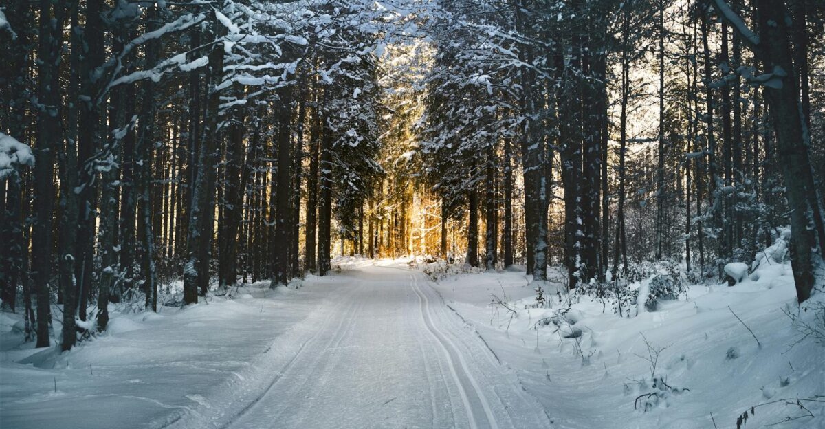
Winter Storm Devin slammed the Northeast December 26-27, 2025, hitting at the height of holiday travel. Airlines grounded flights, states declared emergencies, and roads turned hazardous as 4 to 11 inches of snow fell and snowfall rates topped 2 inches per hour. With 14.8 million travelers expected in the region, the timing made disruptions unavoidable. The first signs appeared fast.
Post-Christmas Travel Chaos Hits Fast

A powerful winter system moved into the Great Lakes region Friday afternoon, December 26, bringing heavy snow and ice into peak holiday season. The National Weather Service issued warnings covering more than 23 million people across the northeastern corridor. Airports in New York, New Jersey, and Connecticut reported delays and cancellations within hours. Yet forecasters saw wider signals.
JetBlue Takes The Biggest Early Hit
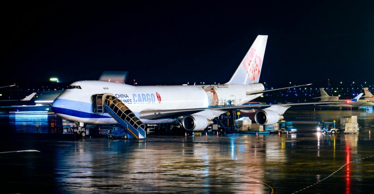
JetBlue Airways canceled approximately 350 flights on Friday and Saturday, the highest number among all carriers nationwide, according to Bloomberg Transportation updates from December 26. Delta Air Lines canceled approximately 212 flights, while Republic Airways canceled 157, American Airlines canceled 146, and United Airlines canceled 97 flights. All major carriers waived change fees, but the timing told another story.
Emergencies Declared Before Snow Arrived
“As widespread snowfall is expected to start in New York City and its surrounding areas this evening, I will declare a State of Emergency to ensure that our agencies and local partners have the resources and tools they need to respond to the storm,” New York Governor Kathy Hochul announced Friday afternoon, December 26, 2025. New Jersey Acting Governor Tahesha Way issued a parallel emergency declaration across all 21 counties. The next step was massive.
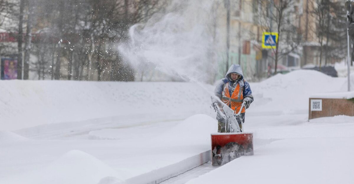
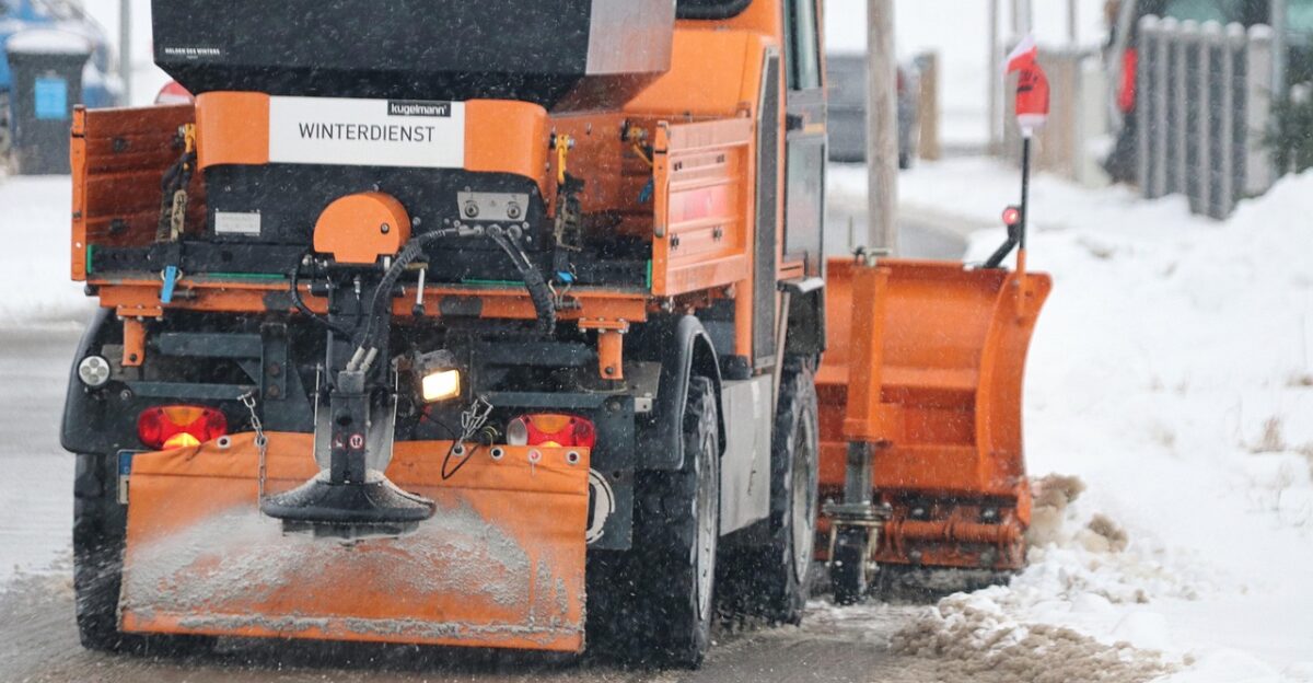
Plow Armies Roll Out Across 2 States
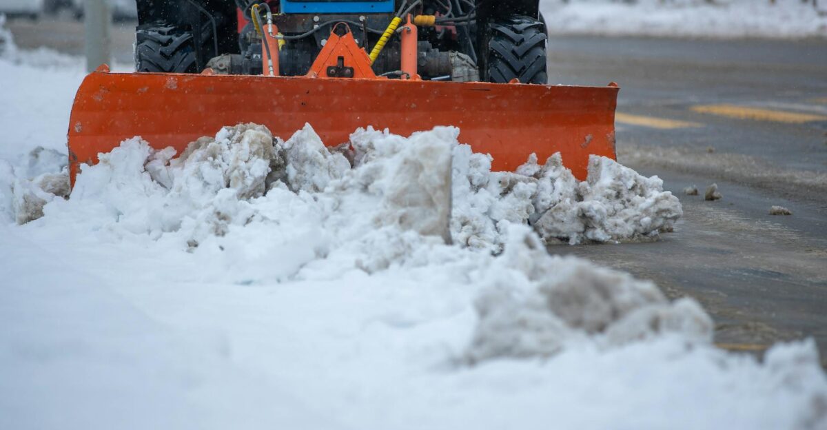
New York deployed 1,636 large plow trucks, 343 large loaders, 154 medium-duty plow trucks, 36 large snow blowers, and 54 tow plows statewide. New Jersey positioned 339 large and medium-duty plow trucks, 11 tow plows, and 66 loaders. More than 700 salt spreaders hit NYC roads, but could they keep up?
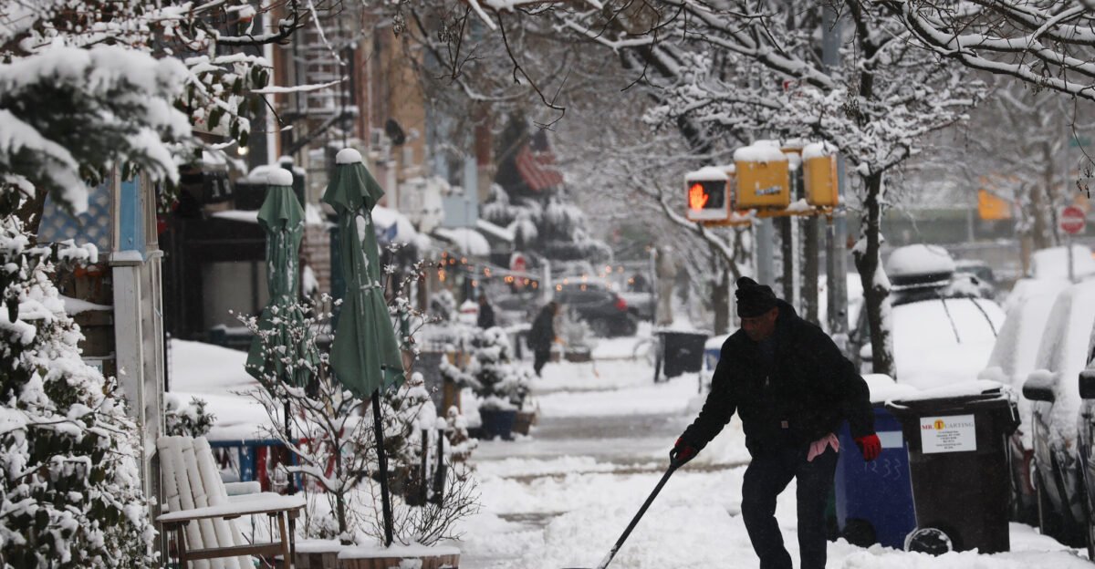
Snowfall Rates Turn Streets Into Hazards
“Snowfall rates at that time period would be 1 to 2 inches per hour,” the National Weather Service warned, adding that “rates could briefly exceed 2 inches per hour, particularly across central-eastern Long Island,” according to the NWS forecast issued December 26, 2025. Visibility could drop below 1 mile, with peak snowfall between 6 p.m. and 2 a.m. The timing was brutal.
NYC Faces Biggest Snow Since 2022
New York City had not measured 4 or more inches of snow since January 7, 2022, more than 3.5 years prior, according to National Weather Service records. Mayor Eric Adams said models showed 6 to 9 inches citywide, “but as much as 11 inches could fall in northeast Queens and the city’s northern neighborhoods.” Where would totals spike most?
Forecast Totals Split The Region In Two

New York City forecasted 5 to 9 inches by Saturday afternoon, with Long Island’s North Shore facing 9 to 12 inches in heavier bands. The Hudson Valley, Connecticut, and northern New Jersey experienced 5 to 9 inches of rainfall, with localized totals reaching up to 12 inches. Northeast Queens could reach 11 inches, while western Pennsylvania faced ice. The difference shaped everything.
Ice Threat Adds Another Layer Of Risk
Western Pennsylvania, east of Pittsburgh and west of Altoona, faced ice storm warnings predicting 0.2 to 0.3 inches of ice, enough for tree damage, downed power lines, and outages, according to National Weather Service forecasts from December 26, 2025. Northeastern Pennsylvania expected heavy snow instead. Officials warned residents that “rapidly accumulating snow could bring down power lines and trees.” Then travel guidance tightened.
Travel Advisories Warn “Do Not Go”
New York City’s Department of Emergency Management warned Friday evening that “snow will overspread the area through 5:30 PM, with visibility dropping to 1 mile or less. Untreated roadways will likely become snow covered. Conditions will deteriorate rapidly. Travel is not recommended this evening,” according to guidance issued December 26, 2025. High-profile vehicle bans hit key highways. The airport numbers soon told the story.
Flight Cancellations Surge Past 1,800
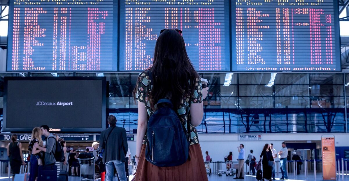
By 4:04 p.m. ET Friday, December 26, FlightAware reported 1,802 flights canceled and 22,349 delayed across the U.S., with the heaviest disruption in the Northeast. JFK, Newark Liberty, and LaGuardia “accounted for more than half of all flight cancellations nationwide,” despite being only part of total capacity. With 14.8 million travelers expected, pressure soared. Why those airports?
Why NYC’s Airports Became A Bottleneck
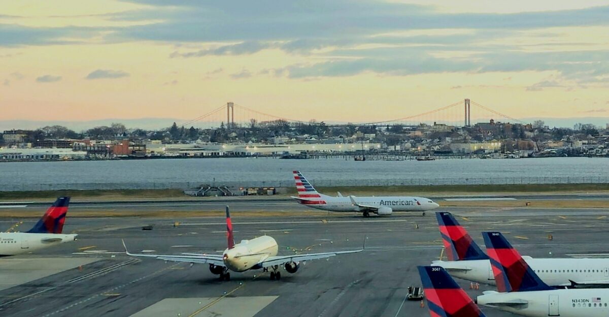
JFK, Newark Liberty, and LaGuardia sit directly in Winter Storm Devin’s primary precipitation track, making them especially vulnerable. Together they serve roughly 19.5 million residents and form the second-largest metropolitan aviation system in North America. JetBlue’s LaGuardia presence and Delta’s JFK operations magnified cancellations. International connections spread impacts worldwide. The human cost followed quickly.
Crews And Passengers Feel The Ripple Effect
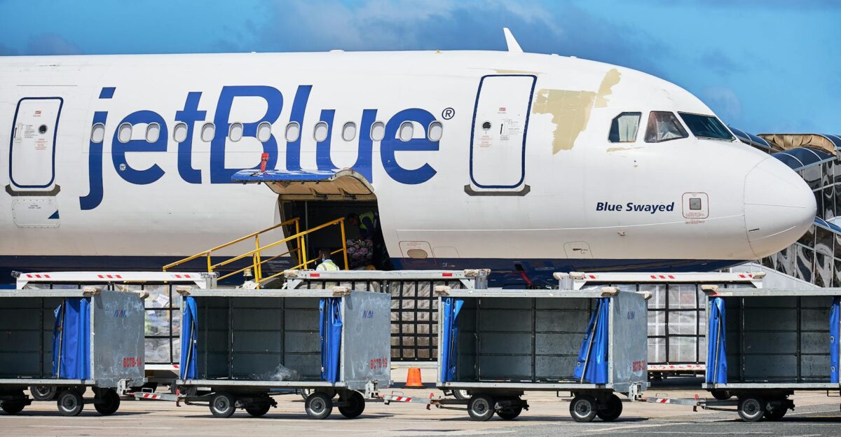
A JetBlue spokesperson said: “Due to winter storm Devin, JetBlue has canceled approximately 350 flights today and tomorrow, primarily in the Northeast where JetBlue has a large operation,” reported Friday evening, December 26, 2025. Cancellations stranded crews, disrupted ground staffing, and broke connections across networks. Waived change fees added revenue strain as rebookings scattered. But state agencies were moving in lockstep.
A Unified Response Spans Dozens Of Counties
“The State of Emergency impacts Albany, Bronx, Broome, Cayuga, Chenango, Columbia, Cortland, Delaware, Dutchess, Fulton, Greene, Herkimer, Kings, Madison, Montgomery, Nassau, New York, Oneida, Onondaga, Orange, Oswego, Otsego, Putnam, Queens, Richmond, Rockland, Saratoga, Schenectady, Schoharie, Sullivan, Rensselaer, Suffolk, Ulster, Wayne, Westchester and contiguous counties,” Hochul’s declaration specified December 26, 2025. The comparisons were unavoidable.
A Storm That Echoes The 2022 Blizzard

The January 28-29, 2022 nor’easter dropped 8.3 inches in Central Park, according to National Weather Service records. That blizzard caused about 330 flight cancellations at New York airports, according to local media reports. Winter Storm Devin threatened similar or worse disruption because forecasts hit 11 inches in places and travel volume was far higher. Would conditions match forecasts exactly?
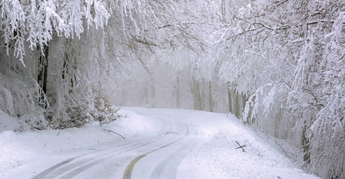
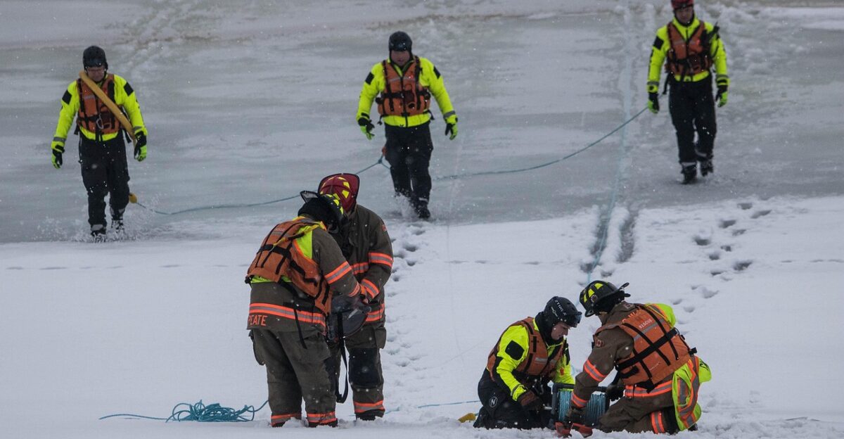
Whiteouts Bring Roads To A Standstill
Video from Rochester’s Frederick Douglass Airport showed aircraft operating amid heavy snowfall Friday evening. Eyewitnesses described near-whiteout conditions with visibility reduced to fractions of a mile. Emergency services handled multiple crashes, while plows cleared lanes only to see them quickly re-covered. Commercial traffic stranded before restrictions required tows and coordination. Still, systems continued to track every shift.
Real-Time Data Shows Disruption Snowballing
FlightAware updates are refreshed roughly every 30 minutes. At 12:00 p.m. ET on Friday, 1,097 flights were canceled and 3,608 were delayed; by 4:04 p.m. ET, the number had jumped to 1,802 cancellations and 22,349 delays, representing a more than 60% growth in four hours. The National Weather Service refined forecasts every 3 to 6 hours. Would the peak hit overnight?
Overnight Bands Push Past 2 Inches Per Hour
Peak snowfall rates between 10 p.m. Friday and 2 a.m. Saturday reached or exceeded 2 inches per hour, with localized areas higher, according to real-time National Weather Service observations. The rapid accumulation, darkness, and wind created hazardous travel that effectively stopped movement on many roads. 911 calls rose, accidents increased, and outages appeared in transition zones. The end was already in sight.
Clearing Arrives, But Totals Stay High
“Light snow showers in the morning. Snow is expected to end by late morning, skies will become clear, and it will still be cold,” the National Weather Service forecast for Saturday, December 27. By morning, much of NYC had 5 to 8 inches, with northeastern Queens up to 11 inches in some locations. Central Park totaled about 8 inches. Recovery operations were about to begin.
The Cleanup Push Begins Across The Region
NYC sanitation plows worked through Saturday, pushing snow to roadside piles for later hauling. The MTA worked to restore full service as conditions improved. Airports restarted departures mid-Saturday morning as runway clearing and visibility thresholds returned. Airlines rebooked many passengers onto Sunday and Monday flights, while states removed stranded vehicles. But what did this storm signal for the rest of winter?
La Niña Signals More Volatility Ahead
“La Niña winters are notorious for their volatility, and we are certainly getting a healthy serving of that this holiday season,” according to meteorologist assessments from the Commodity Weather Group, December 26, 2025. Forecasters warned active patterns and sharp swings could continue through winter 2025-2026, with more storm chances in January and February 2026. Winter Storm Devin may not be the last test.
Sources
Winter Storm Forecasts and Warnings. National Weather Service, December 26, 2025
State of Emergency Declaration for Winter Storm Devin. Office of Governor Kathy Hochul, December 26, 2025
State of Emergency Declaration. Office of Acting Governor Tahesha Way, December 26, 2025
Flight Disruption Data. FlightAware, December 26, 2025
JetBlue Operational Statement on Winter Storm Devin. JetBlue Airways, December 26, 2025
Holiday Travel Advisory. Port Authority of New York and New Jersey, December 2025