
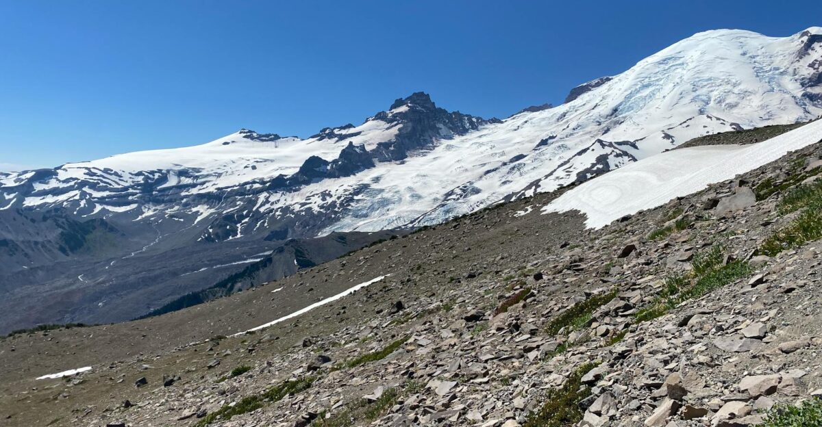
Something stirred beneath Mount Rainier this summer, sending over 1,000 earthquakes through the ground in weeks—the largest swarm ever recorded at this towering volcano. Seismometers glowed with activity as tremors clustered miles below the summit, raising fears at America’s most hazardous peak, where 80,000 residents lie in the path of potential mudflows.
Record-Breaking Seismic Swarm
Starting July 8, Mount Rainier produced its most intense seismic event on record. The U.S. Geological Survey pinpointed 1,350 earthquakes, the strongest at magnitude 2.42 on July 11, with activity peaking at 41 tremors per hour. This surpassed a 2009 swarm in both magnitude and energy, which had lasted only three days. The quakes centered 1.2 to 3.7 miles under the summit, in zones where superheated water moves through volcanic rock. Yet no ground swelling, gas changes, or magma signals appeared. Mount Rainier sees such swarms once or twice a year, but this one set new benchmarks.
The Ice-Induced Tremor Alarm
In mid-November 2025, instruments registered 72 hours of steady shaking, sparking global headlines about an “unprecedented tremor phase” at the deadly volcano. Social media buzzed with evacuation rumors, and residents in nearby Tacoma and Orting prepared kits. The Pacific Northwest Seismic Network soon clarified: rime ice had encased an antenna at the 11,000-foot STAR station, an analog site using low-power radio prone to weather glitches. The interference mimicked volcanic tremor on one monitor, but no real seismic rise occurred. The network stated there was no cause for alarm or increase in activity.
Lahar Threats Without Eruption
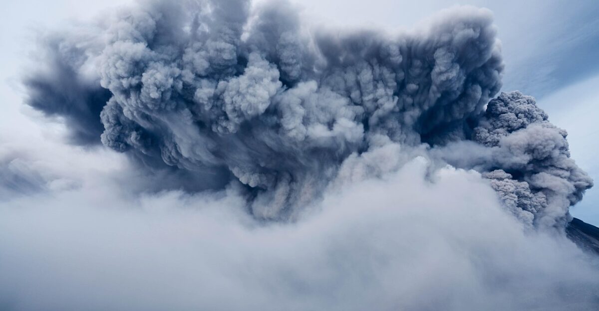
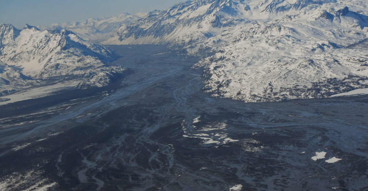
Lahars—fast-moving volcanic mudflows—pose the greatest risk, capable of speeds over 67 mph on steep slopes without needing an eruption. Heavy rain, quakes, or slope failures can unleash them, sweeping boulders and debris up to 50 miles. About 80,000 people live in hazard zones around valleys like Puyallup, Nisqually, Carbon, and White. The 5,600-year-old Osceola Mudflow beheaded the summit, dumping 3.8 cubic kilometers of material 50 miles to Puget Sound, burying 200 square kilometers under 100-meter-deep layers. Today, over 500,000 reside on those deposits in areas including Kent, Auburn, Enumclaw, and Tacoma suburbs. For comparison, Mount St. Helens’ 1980 lahars razed 200 homes, 185 miles of highways, and 15 miles of rail, causing $1 billion in damage and 57 deaths. Rainier’s 26 square miles of glaciers amplify the potential scale. The 1507 A.D. Electron Mudflow raced down Puyallup Valley with no eruption tied to it.
Detection and Warning Systems
Sensors along the slopes form the Mount Rainier Lahar Detection System, using acoustic monitors, seismometers, and infrasound to spot flows. Sirens would alert Orting with about 40 minutes’ warning for a major lahar; downstream spots get up to three hours. Since 2016, USGS upgrades added 25 stations, including 13 broadband seismic and infrasound units outside the park and 12 lahar posts inside since 2020. These outpace the 1998 setup. Between 150,000 and 250,000 people occupy the drainages, with over 90,000 in direct lahar paths built atop ancient flow evidence. Emergency officials underline that evacuations hinge on swift siren response.
Ongoing Vigilance Ahead
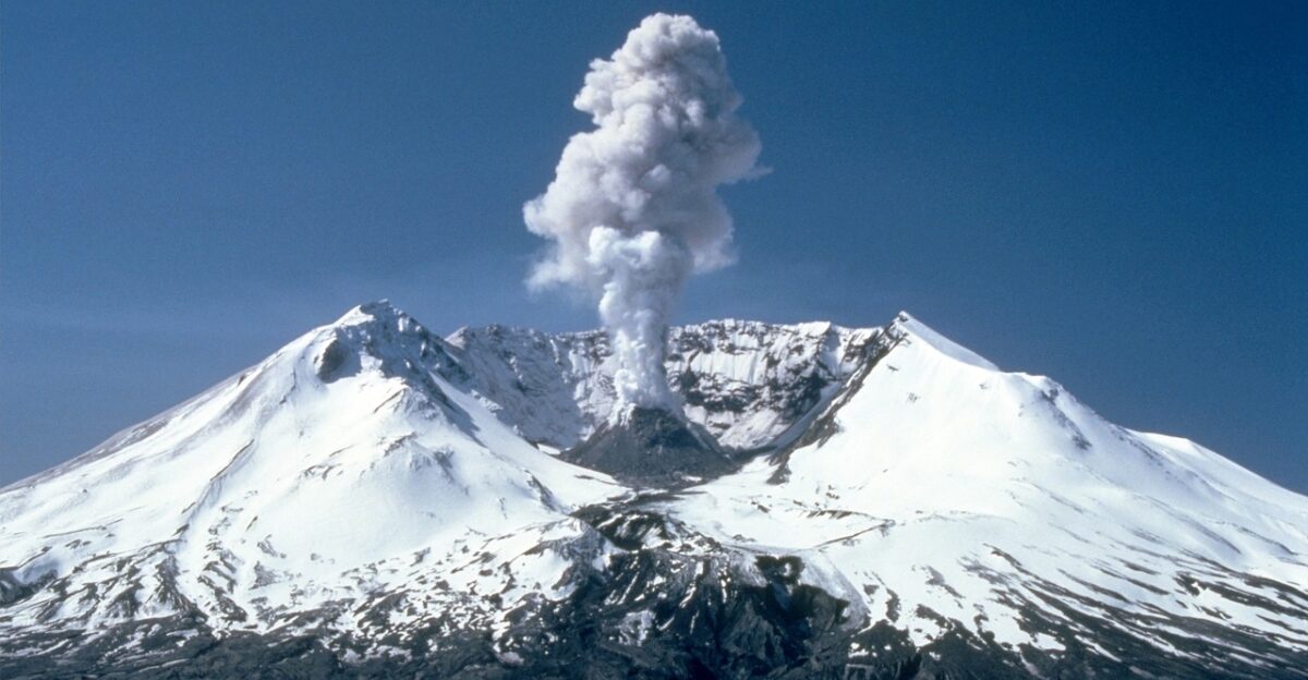
Mount Rainier stays at green/normal alert, with no deformation, gas shifts, or magma signs. July’s quakes traced to routine hydrothermal fluids along faults. Its last confirmed eruption was about 1,000 years ago amid persistent steam, gas, and low seismicity over 500,000 years. Geologists note a 1-in-10 chance of a major lahar hitting Puget Sound in a typical lifespan. Enhanced monitoring and public readiness remain key as the volcano’s history of growth, eruptions, and collapses continues, balancing daily life against latent hazards in the shadow of this active giant.
Sources:
U.S. Geological Survey, Mount Rainier Volcano Monitoring, July–August 2025
Pacific Northwest Seismic Network, Seismic Activity Report, Mount Rainier, July 2025
Pacific Northwest Seismic Network, Statement on November 2024 Tremor Signal, November 18–19, 2025
USGS Cascades Volcano Observatory, “Volcanic Hazards at Mount Rainier,” 2023
USGS, “Mount Rainier—Living Safely With a Volcano in Your Backyard,” Fact Sheet 2008-3062
USGS, “Significant Lahars at Mount Rainier,” Volcano Hazards Assessment, 2023