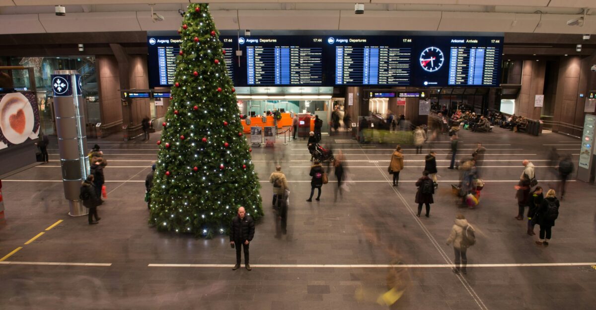
Shattered reunion plans. Stranded travelers. Families are bracing for Christmas without power. This week, millions of Californians preparing to celebrate the holidays will instead confront a rapidly intensifying storm that threatens to transform Christmas 2025 into one of the most disruptive holiday weeks in recent memory.
The National Weather Service has issued High Wind Watches for the entire San Francisco Bay Area as a bomb cyclone barrels toward the coast Tuesday night, arriving smack in the middle of peak holiday travel. For travelers already booked on flights or committed to long drives, the timing is merciless. The storm peaks Christmas Eve and Christmas Day—precisely when 44 million Americans will be traveling.
What Exactly Is a Bomb Cyclone?
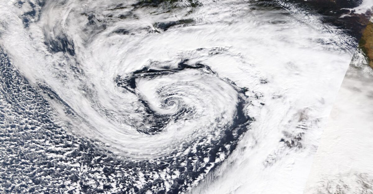
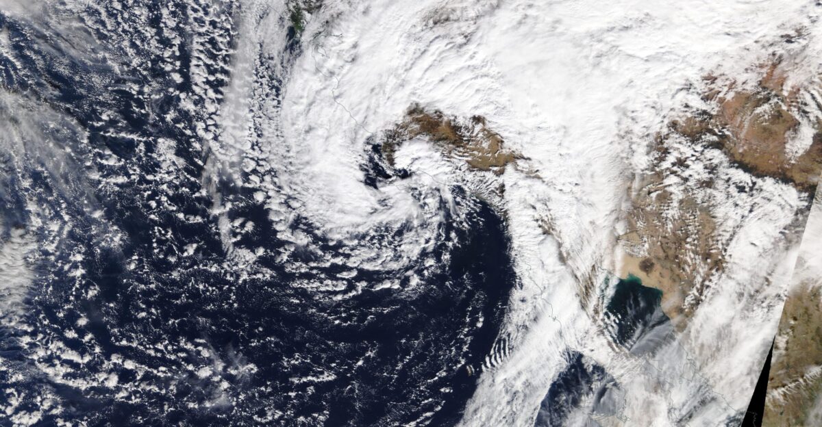
The term sounds invented, but it’s meteorologically real. A bomb cyclone occurs when a storm’s central pressure plummets by 24 millibars in just 24 hours—a rapid intensification that creates a powerful atmospheric vacuum.
This week, meteorologists aren’t tossing around the “bomb cyclone” label lightly. According to AccuWeather meteorologist Brandon Buckingham, “The storm providing the atmospheric rivers has the potential to become a bomb cyclone off the California coast”.
Holiday Travels Hang in the Balance

Colin McCarthy, an extreme weather specialist tracking the system, offered a sobering assessment. “High Wind Watches have just been issued for the entire Bay Area for wind gusts up to 60 mph, but if more aggressive model forecasts pan out, I wouldn’t be shocked to see 70+ mph in the higher terrain and along the coastline,” he stated.
Cities including Redding and San Francisco face potential gusts hitting that threshold, while Medford, Oregon, and Reno, Nevada, brace for 60 mph wind gusts. The High Wind Watch begins Tuesday at 7 p.m. through 4 a.m. Wednesday—right when families are traveling.
A Traveler’s Worst Nightmare
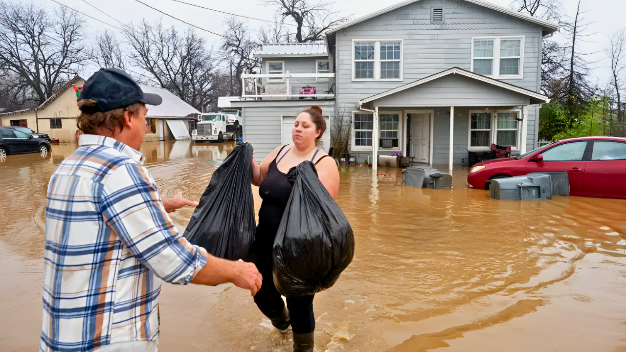
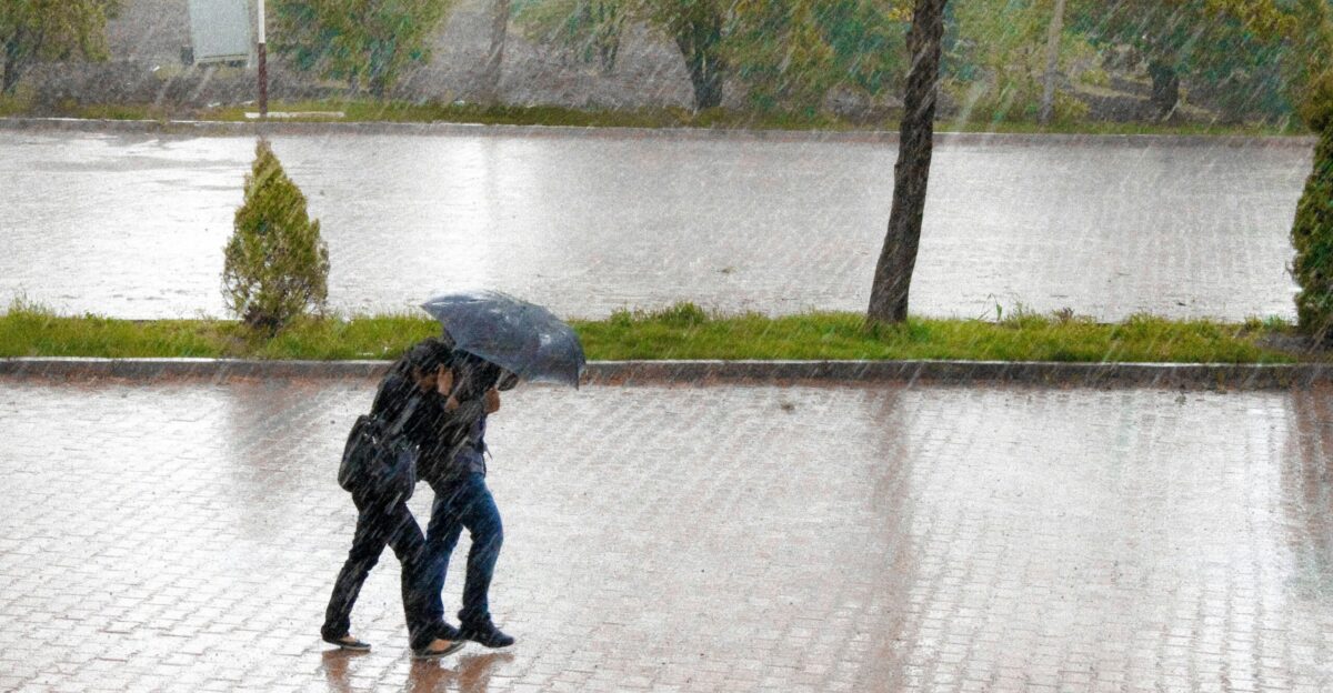
Families have been planning for months. Boarding passes purchased. Hotels booked. Grandchildren await their arrival. Now, as travelers prepare to hit the roads and airports, the weather service warns that nearly every road across California is forecast to be wet on Christmas Eve.
Flight delays ripple across the entire country when California airports shut down during storms. Some travelers have already begun turning back, abandoning reunions and holiday celebrations as flood waters block critical highways.
Rain Exceeds Monthly Averages
A powerful atmospheric river—a sky-spanning river of moisture pulled northward from tropical regions—is simultaneously battering California. San Francisco is forecast to receive over seven inches of rain by Saturday, crushing the city’s December monthly average of just 4.76 inches.
The North Bay could see three to five inches before Christmas alone. The National Weather Service issued evacuation warnings for those communities from Tuesday through Thursday.
A Rare and Belief-Breaking Threat
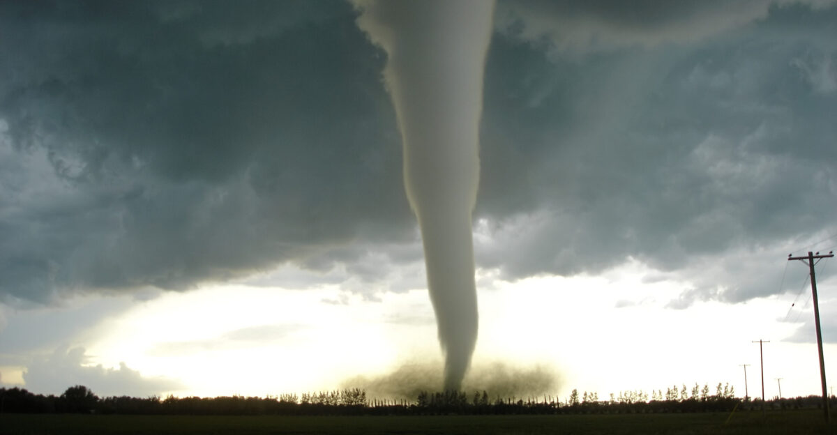
Perhaps most startling is this: tornadoes are possible. “A very strong cold front with potentially embedded severe thunderstorms will come ashore late Tuesday night/early Wednesday morning in Central and Northern California,” McCarthy explained, adding the critical detail: “Given strong wind shear, can also not rule out a tornado or two”.
Tornadoes in California feel almost impossible—the state is earthquake country, not tornado country. Yet in early December 2024, a tornado struck Scotts Valley north of San Jose, injuring five people and flipping vehicles. This week’s conditions could produce similar rare phenomena across the state.
Hundreds of Thousands Into Darkness
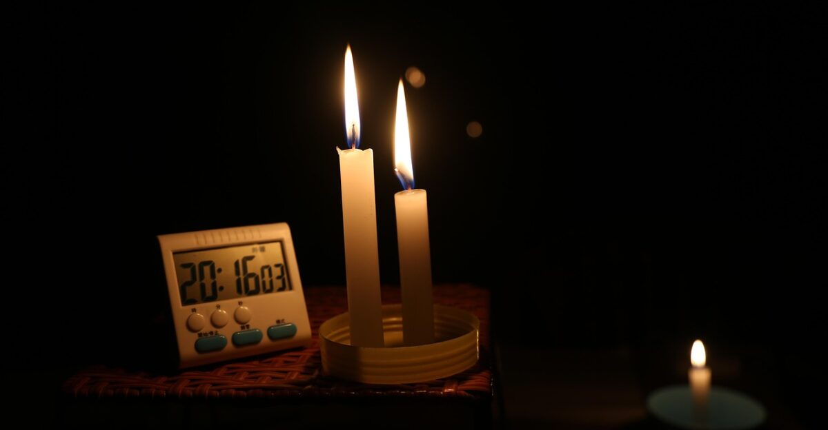
Three days before Christmas, losing power doesn’t mean missing a few TV shows. It means no refrigeration for holiday meals, no furnace heat as temperatures drop at night, and no medical devices for vulnerable family members. A power outage during the holidays is a personal disaster multiplied across hundreds of thousands of households.
Pacific Gas and Electric has mobilized 5,500 workers, including 1,500 line crews and nearly 3,000 tree-removal specialists, to combat expected outages.
Life-or-Death Stakes

Power outages become far more than an inconvenience for Californians dependent on electricity to survive. People on feeding tubes, ventilators, oxygen machines, and dialysis devices face genuine life-and-death scenarios when the grid fails.
Elderly residents in nursing homes—including some evacuated from Castro Valley during a prior storm after paramedics had to rip wheelchair seats out of vans to rescue them—remain vulnerable.
A “Firehouse of Rain”
As Northern California weathers Tuesday night’s initial onslaught, the system shifts southward on Wednesday, targeting Southern California with its full force. AccuWeather’s assessment: a “firehouse of rain” dumping four to eight inches across the Los Angeles Basin and eight to twelve inches in the mountains between Tuesday and Saturday.
The National Weather Service issued a rare “High Risk” flood alert—Level 4 out of 4—for parts of Southern California on Christmas Eve and Christmas Day.
Holiday Travel Becomes a Survival Question
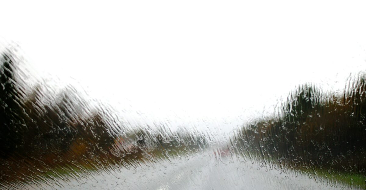
Families aren’t making casual choices about whether to hit the road. A traveler in Shasta County recently described turning back when floodwaters overtook the highway ahead—canceling a long-awaited reunion with family. Others found themselves trapped in rental homes as local streets transformed into impassable waterways.
Drivers who proceed anyway face roads where visibility drops to near zero during heavy downpours, where traffic signals lack power, and where submerged vehicles can be swept away in seemingly shallow water.
Evacuation Orders in Effect
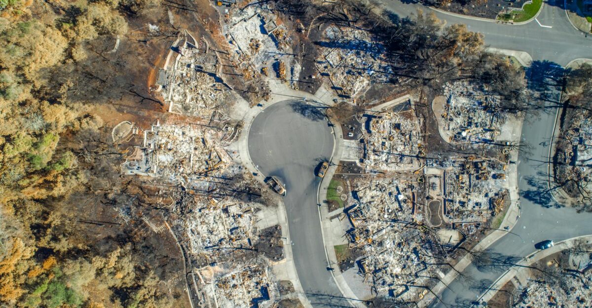
Wildfire burn scars don’t just look devastated—they’re hydrologically fragile. Ash and charred soil create a water-repellent barrier that prevents moisture from soaking in, instead sending water cascading downslope as debris flows.
Residents in the Palisades, Sunset, and Hurst fire zones have evacuation warnings in effect through Thursday as rainfall rates could approach one inch per hour. For families living in these vulnerable areas, Christmas will be spent in shelters—if they can reach them in time.
The Forecast Keeps Getting Worse
Weather forecasts evolve as new data arrives, and this week’s updates have trended grimmer. “The storm forecast just ‘keeps getting worse,'” according to KTLA weather anchor Mark Kriski. Initial models suggested a brief reprieve Christmas Eve night, but the latest forecasts indicate a second powerful surge of rain and wind returning Christmas morning.
Whether intensity reaches full bomb cyclone status matters less than this: this week will rank among the most significant winter storms California has experienced.
How to Prepare When Time Is Running Out

For Californians choosing to stay put, time is running out to prepare. Stock food, water, medications, flashlights, and batteries—items that matter deeply when darkness falls at 5 p.m., and you’re uncertain when electricity returns. Bring outdoor furniture inside, trim overhanging tree branches, fill bathtubs with water (plumbing requires power), and bring pets indoors.
If you live in a burn scar zone, evacuation warnings mean get ready to leave—don’t wait for a mandatory evacuation order. If you’re stranded on a road during flooding, turn around.
A Pattern, Not a Single Storm
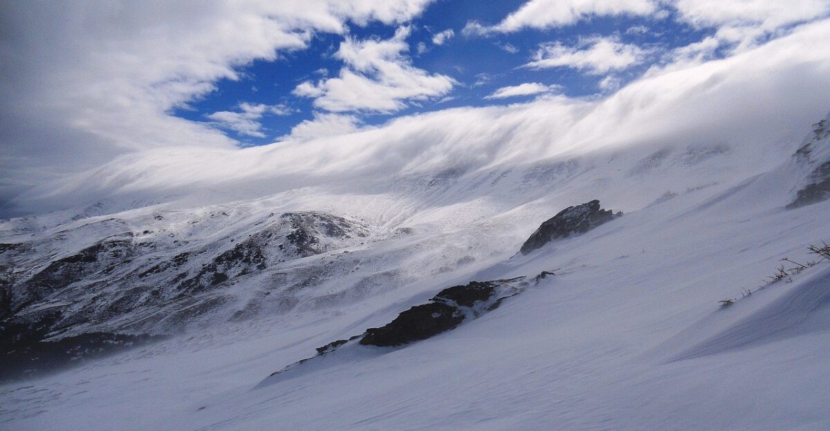
The stormy pattern won’t vanish after Christmas Day. Additional Pacific moisture is expected to continue tracking toward California through the weekend and into next week. The Sierra Nevada is expected to accumulate several feet of snow, making mountain passes impassable.
For Californians, Christmas 2025 will likely be remembered not for celebration but for survival—and for the fortunate ones who make it through without tragedy, for gratitude that they and their loved ones remained safe when nature displayed its raw, indifferent power.
Sources:
National Weather Service (NWS) High Wind Watch alerts and forecasts for San Francisco Bay Area, Northern California, and Southern California (December 23–25, 2025)
AccuWeather meteorologist Brandon Buckingham analysis of bomb cyclone potential and wind intensity forecasts
Colin McCarthy extreme weather specialist tracking system assessment of 60–70+ mph wind gusts and tornado potential
KTLA weather anchor Mark Kriski forecast updates on storm intensification (December 2025)
Pacific Gas and Electric (PG&E) emergency response mobilization statement regarding power outage preparations
National Weather Service “High Risk” flood alert (Level 4 out of 4) for Southern California (December 24–25, 2025)