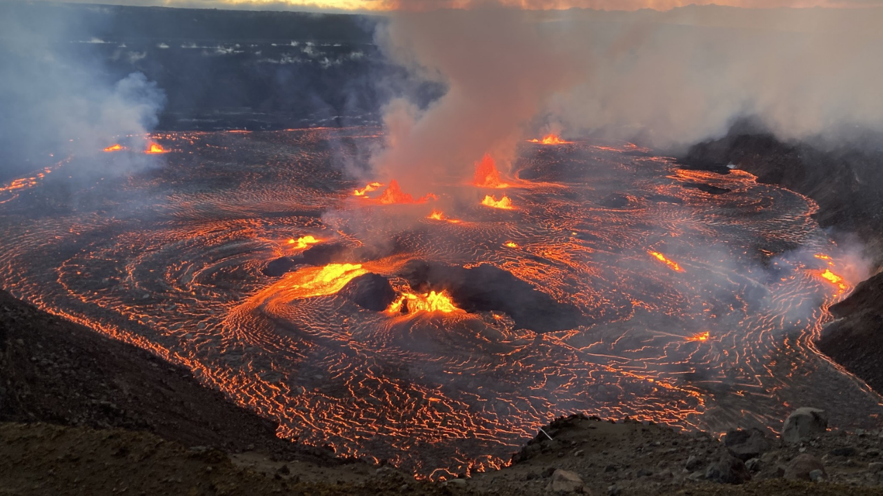
Something woke beneath Mount Rainier this summer. Over 1,000 earthquakes rattled the volcano in just weeks, the largest swarm ever recorded at America’s most dangerous peak. Scientists watched seismometers light up with tremors clustering miles beneath the summit.
Then November brought 72 hours of continuous shaking—until researchers discovered the truth. It wasn’t magma. It was ice fooling a frozen antenna at 11,000 feet. The false alarm exposed how easily panic spreads when 80,000 homes sit in a mudflow’s path.
When Seismometers Detect 1,350 Earthquakes
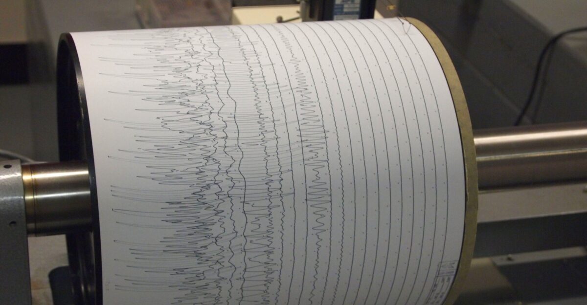
Beginning July 8, Mount Rainier unleashed its most energetic seismic event on record, according to Harold Tobin, director of the Pacific Northwest Seismic Network. The U.S. Geological Survey eventually located 1,350 separate earthquakes, with the largest measuring 2.42 on July 11. Peak activity reached 41 tremors per hour.
The swarm dwarfed a 2009 event that lasted just three days, surpassing it in magnitude and total energy.
Why Was Mount Rainier Shaking So Violently?
Earthquakes clustered between 1.2 and 3.7 miles beneath the summit, precisely where superheated water circulates through volcanic rock. However, instruments detected no ground swelling, no changes in volcanic gas, and no signs of rising magma.
Alex Iezzi, a USGS research geophysicist, explained that Mount Rainier experiences earthquake swarms once or twice yearly—yet this one shattered records.
72 Hours of Tremor
Mid-November 2024 brought fresh panic when seismometers appeared to detect continuous volcanic tremor for 72 straight hours. A viral headline screamed that America’s deadliest volcano had entered an “unprecedented tremor phase”. Social media exploded with evacuation speculation. News outlets worldwide picked up the story.
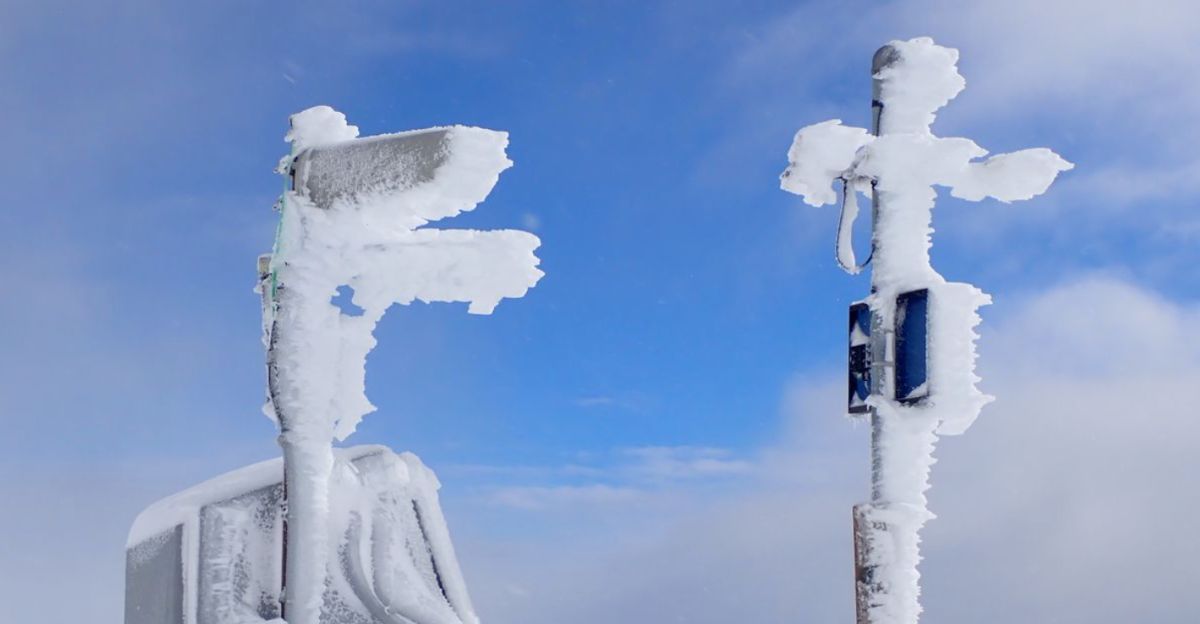
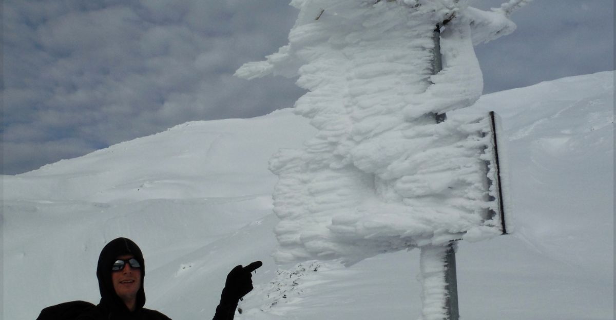
Families in Tacoma and Orting checked emergency kits. Then the Pacific Northwest Seismic Network dropped a bombshell: the tremor signal was fake. Rime ice had coated an antenna on a single monitoring station at 11,000 feet, creating radio interference that mimicked seismic activity.
One Frozen Antenna Fooled an Entire Nation
The Pacific Northwest Seismic Network issued a brief clarification in November 2025, stating that there was “no cause for alarm, no interesting seismic activity, and no increase in earthquakes on the mountain at this time.”
The STAR station—one of Mount Rainier’s last analog monitoring sites—utilizes low-power radio transmission, which is vulnerable to weather interference. Ice buildup scrambled the signal just enough to mimic volcanic tremor.
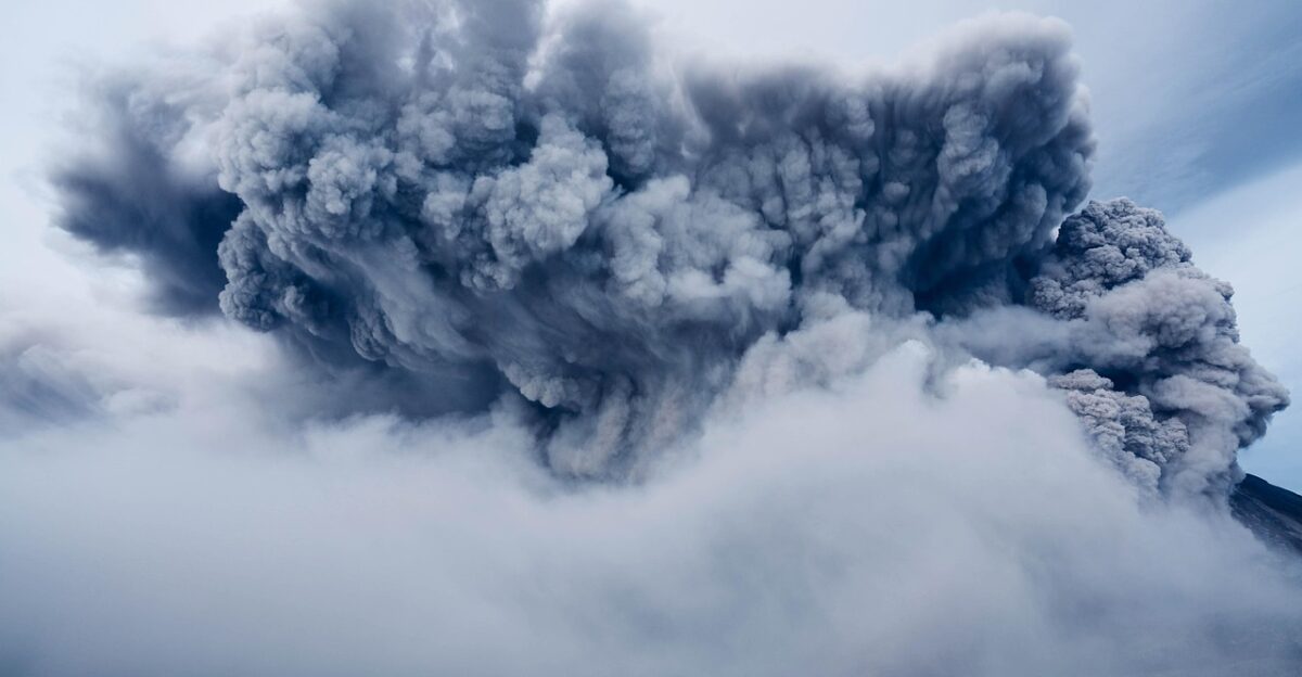
A 67-MPH Wall of Mud
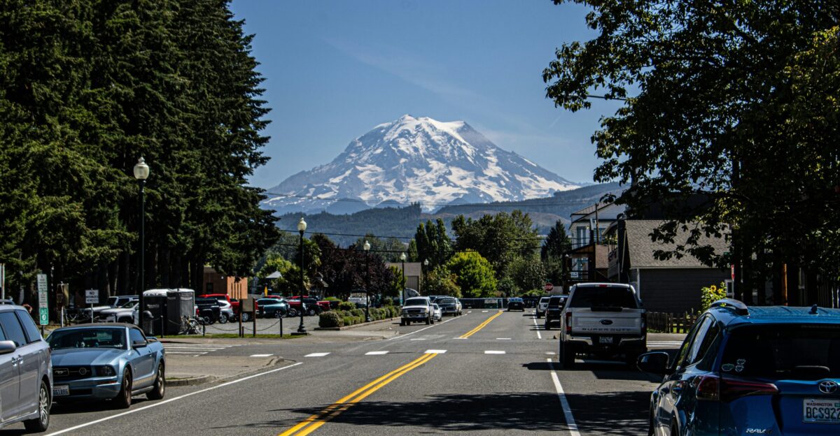
Approximately 80,000 people and their homes are located in lahar-hazard zones surrounding Mount Rainier, according to a 2008 USGS report. Lahars—volcanic mudflows—can race down valleys at speeds exceeding 30 meters per second, roughly 67 mph on steep slopes. They don’t need an eruption to strike.
Heavy storms, earthquakes, or simple slope collapse can trigger catastrophic flows that carry boulders, trees, and debris more than 50 miles from the volcano. Communities, including Orting, Sumner, Puyallup, and Tacoma suburbs, sit directly in historic lahar paths.
A Mudflow 5,600 Years Ago Traveled 50 Miles
The Osceola Mudflow removed Mount Rainier’s summit 5,600 years ago and sent 3.8 cubic kilometers of debris cascading 80 kilometers to Puget Sound. It buried more than 200 square kilometers of lowland under mud reaching depths of 100 meters.
Today, over 500,000 people reside on those deposits in Kent, Auburn, Enumclaw, and parts of Tacoma.
Mount St. Helens Destroyed 200 Homes
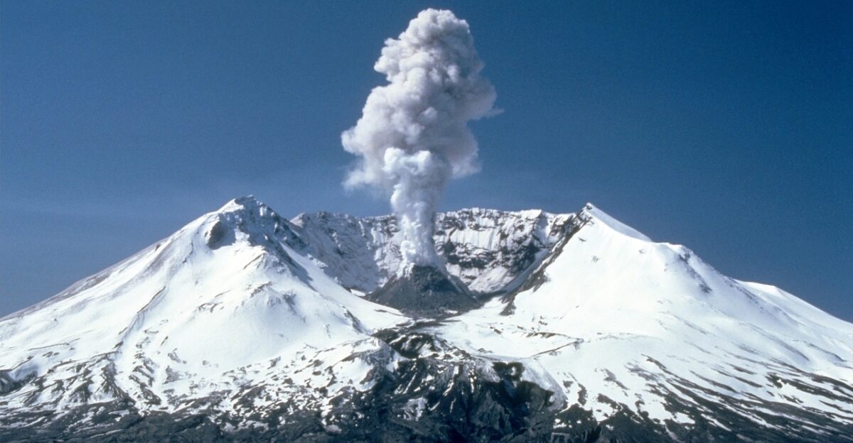
When Mount St. Helens erupted on May 18, 1980, lahars destroyed more than 200 homes and wiped out 185 miles of highways along with 15 miles of railway. The eruption caused $1 billion in damage and killed 57 people.
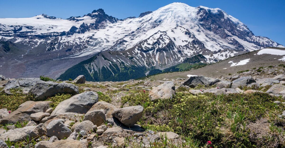
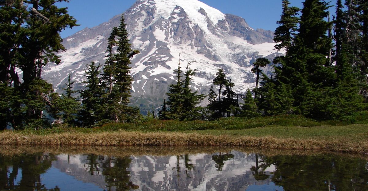
Mount Rainier poses a greater threat because its larger glaciers—covering 26 square miles—could generate more massive mudflows.
Lahars Can Strike Without Any Eruption Warning
Lahars can occur without a volcanic eruption, triggered by landslides, storms, or slope collapse, according to scientists at the USGS. The 1,507 A.D. Electron Mudflow traveled down the Puyallup River valley with no associated eruptive activity.
USGS documentation refers to these as “no-notice lahars,” recognizing that hydrothermally weakened rock on Mount Rainier’s west flank could collapse even while the volcano shows no unrest.
Residents Get 40 Minutes to Escape
Automated lahar detection sensors on Mount Rainier’s slopes would trigger emergency sirens, giving Orting approximately 40 minutes to evacuate after detecting a large mudflow. Communities farther downstream receive up to three hours of warning.
The Mount Rainier Lahar Detection System uses acoustic flow monitors, broadband seismometers, and infrasound sensors to detect ground vibrations.
Living in the Mudflow Path Right Now
Between 150,000 and 250,000 people reside in river valleys draining Mount Rainier, according to USGS research. Recent studies estimate over 90,000 people live within areas directly threatened by future large lahars.
The Puyallup, Nisqually, Carbon, and White River valleys all support populations built on top of evidence of past mudflows.
Upgraded Detection Network
Since 2016, the USGS has installed 25 modern monitoring stations around Mount Rainier as part of a congressionally funded upgrade. The expansion includes 13 telemetered broadband seismic and infrasound stations outside the national park along key drainages. Inside the park, scientists installed 12 new lahar monitoring stations since 2020.
The enhanced network significantly improves detection capabilities beyond the original 1998 system. Emergency managers stress that successful evacuation depends on immediate response when sirens sound.
Mount Rainier Remains at Green Alert
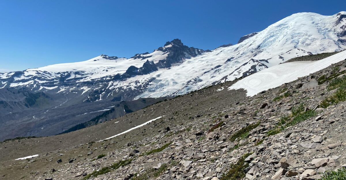
The U.S. Geological Survey maintained Mount Rainier at “green/normal” alert level throughout the July earthquake swarm and currently. Scientists detected no ground deformation, no volcanic gas changes, no evidence of magma movement.
The Pacific Northwest Seismic Network determined the earthquakes resulted from hydrothermal fluid circulation along faults—considered normal activity.
The Volcano Will Erupt Again
Mount Rainier’s most recent confirmed eruption occurred approximately 1,000 years ago, though the volcano produced countless eruptions and lahars throughout its history. The volcano exhibits persistent steam and gas emissions alongside low-level seismicity characterizing its normal background activity.
Geologists emphasize that Mount Rainier will continue to erupt, grow, and collapse as it has for half a million years. USGS scientists estimate a roughly 1-in-10 chance of a large lahar reaching Puget Sound during an average human lifespan.
Sources:
U.S. Geological Survey, Mount Rainier Volcano Monitoring, July–August 2025
Pacific Northwest Seismic Network, Seismic Activity Report, Mount Rainier, July 2025
Pacific Northwest Seismic Network, Statement on November 2024 Tremor Signal, November 18–19, 2025
USGS Cascades Volcano Observatory, “Volcanic Hazards at Mount Rainier,” 2023
USGS, “Mount Rainier—Living Safely With a Volcano in Your Backyard,” Fact Sheet 2008-3062
USGS, “Significant Lahars at Mount Rainier,” Volcano Hazards Assessment, 2023