Hurricane-strength winds, blinding snow, and rare wildfire danger converged across the central United States in mid-December, as a sprawling winter storm battered 16 states from the Rockies to the Great Lakes. The National Weather Service Prediction Center reported that an estimated 50–60 million people were exposed to hazardous conditions during one of the busiest travel weeks of the season, with impacts ranging from interstate shutdowns and mass power outages to deadly structural damage.
Record Winds and Mountain Impacts
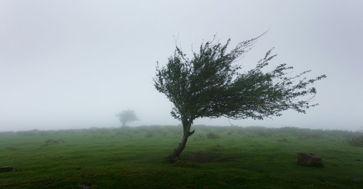
Wyoming emerged as a focal point for extreme winds, registering some of the strongest gusts ever recorded in the state. A 144 mph gust near Smoot at Mount Coffin on December 17 placed the event among Wyoming’s most powerful wind episodes on record. Elsewhere in the state, gusts reached 123 mph on South Pass between Farson and Lander and 121 mph along the Salt River in Lincoln County, speeds comparable to those associated with Category 4 or 5 tropical cyclones.
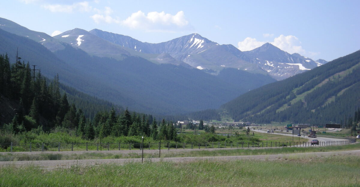
Colorado’s high country experienced similarly severe conditions. Berthoud Pass and Copper Mountain each recorded gusts of 124 mph, ranking among the most intense non-tornadic winter wind events documented in the lower 48 states. At NCAR Mesa in Boulder, winds peaked at 108 mph, while other mountain locations saw widespread gusts between 86 and 113 mph. These conditions contributed to structural damage to buildings, power infrastructure, and transportation corridors across the region.
The zone of high winds extended far beyond mountain peaks. In Montana, valley locations reported sustained winds of 40–50 mph, with exposed passes over 90 mph. Strong winds were also logged in Kansas, Nebraska, the Dakotas, Minnesota, and Nevada. Across these states, authorities reported downed trees, damaged structures, and numerous vehicle blow-overs on major highways.
Snow, Blizzards, and Paralyzed Travel
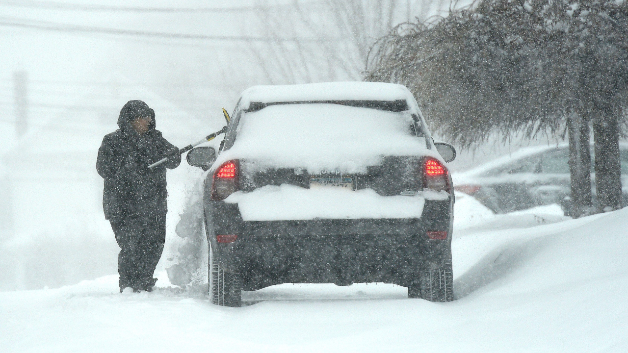
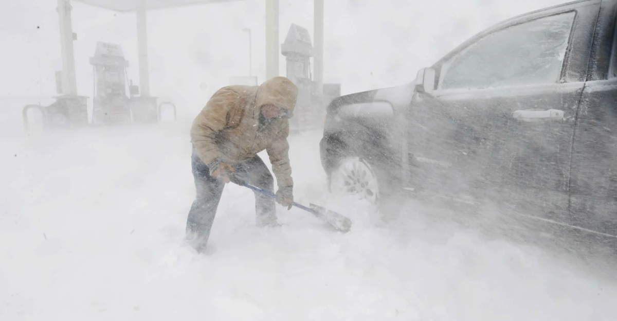
Alongside the wind, the storm delivered periods of heavy snow and blizzard conditions. Parts of Montana picked up 10–12 inches of snow, while Wyoming’s mountains received 2–6 inches in the Absarokas and 4–8 inches across the Tetons and Gros Ventre ranges. Combined with the extreme winds, the snow produced whiteout conditions across broad portions of the Upper Midwest and Great Lakes.
Blizzard warnings and winter storm warnings stretched over multiple states. Southeast Minnesota, northeast and east-central Iowa, as well as large areas of Wisconsin, Michigan, Indiana, Ohio, Pennsylvania, and New York, faced life-threatening visibility reductions and drifting snow. The National Weather Service cautioned that travel in these regions could become nearly impossible during peak conditions.
Highways and interstates across the central corridor were heavily affected. In Wyoming, the Department of Transportation reported over 40 blow-over crashes involving high-profile vehicles across the multi-day wind event, prompting closures of Interstate 80 and Interstate 25 to light trailers and other tall vehicles. Mountain passes in Colorado, Wyoming, and Montana were deemed extremely hazardous or impassable, and officials repeatedly urged residents to avoid all non-essential travel, warning that emergency services might not be able to reach stranded motorists during the strongest winds.
Power Failures and Infrastructure Damage
The combination of hurricane-force gusts and ice-free but exposed infrastructure led to extensive power outages. At the height of the storm, about three-quarters of a million customers from Seattle to Denver lost electricity. By the morning of December 18, outages continued to impact hundreds of thousands of customers across the region. Montana alone counted over 15,000 outages, with utility crews slowed by safety limits that prevented bucket truck operations in winds above 35 mph.
Reports of infrastructure damage surfaced across several states. In Kansas, the KLOE 730 AM transmitter tower near Goodland failed when base insulators gave way under extreme wind stress. In Rapid City, South Dakota, a radio tower collapsed on Skyline Drive, contributing to power problems that kept four schools closed on December 19. Montana officials reported that the roof of Jefferson School in Missoula was torn away as the system’s strongest winds swept the region.
The human toll also began to emerge. At least one fatality was confirmed in Idaho as of December 18, alongside accounts of trees falling onto homes and vehicles. Multiple school districts in western Montana shifted to early dismissals or remote learning to keep students and staff out of harm’s way. Public safety agencies urged residents to prepare emergency kits, understand evacuation routes, and avoid any activities that might spark fires in high-risk areas.
Unusual Heat, Fire Weather, and a Rare “Perfect Storm”
What set this event apart was not only its geographic reach but also its mix of winter and fire hazards. In Colorado, the National Weather Service office in Boulder issued its first “Particularly Dangerous Situation” Red Flag Warning on December 19, signaling an exceptional wildfire threat. A similar warning covered parts of Laramie County in Wyoming. Forecasters cited sustained winds of 45–55 mph, gusts over 100 mph, extremely dry air, and unseasonable warmth as ingredients for extreme and erratic fire behavior.
During the storm, a large wildfire known as “Fire 33” burned an estimated 12,000–40,000 acres in Yuma County, Colorado. To reduce the risk of additional ignitions from damaged lines, Xcel Energy preemptively cut electricity to more than 69,000 customers in Colorado, leaving some without power for extended periods as blizzard conditions and critical fire weather unfolded at the same time.
Meteorologists traced the event to an unusually powerful upper-level jet stream with core speeds above 170 mph, which generated strong pressure gradients across the central United States. A rapidly intensifying mid-latitude cyclone developed over the Rockies, driving hurricane-force surface winds. The storm tapped very warm, dry air from the Desert Southwest, producing downslope heating and record-breaking December warmth. Denver reached 71°F on December 19, breaking the previous record of 68°F. Oklahoma City reached 76°F on December 19, shattering the previous daily record. Dallas–Fort Worth recorded 79°F on December 19, setting a new record for the date. In the Texas Panhandle near Amarillo, multiple grass fires highlighted the seriousness of the fire risk despite the winter calendar.
As blizzard warnings and high-wind alerts persisted and the system pushed eastward toward December 20, forecasters described the episode as one of the largest and most complex winter storms of the 2025 season. With tens of millions of people still in the path of dangerous weather, officials stressed the need for continued vigilance, adherence to safety guidance, and careful monitoring of both storm evolution and fire danger in the days ahead.
Sources:
“National Weather Service Details Winter Storm Impacts Across 16 States, 144 MPH Wind and 12 Inches of Snow.” National Weather Service Prediction Center, December 18, 2025.
“December 17–20, 2025 North American Storm Complex.” Wikipedia, December 16–20, 2025.
“144 MPH Wind Gust Is Strongest Ever Recorded in Wyoming.” Cowboy State Daily, December 18, 2025.
“Forecasters Warn of ‘Particularly Dangerous’ Fire Threat in Colorado and Wyoming.” KTVZ/CNN Weather, December 19, 2025.
“Wyoming Clocks 100-Plus MPH Winds, Causing Vehicle Blow-Overs.” Wyoming Public Media, December 17, 2025.