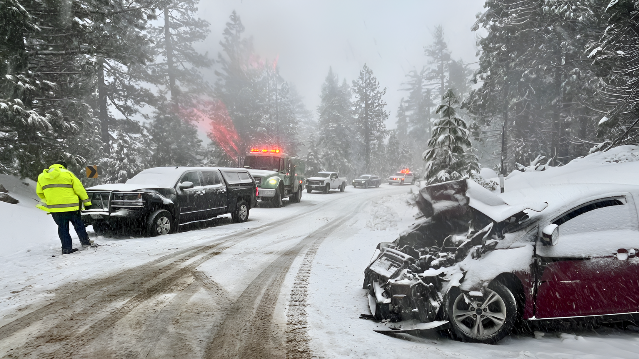
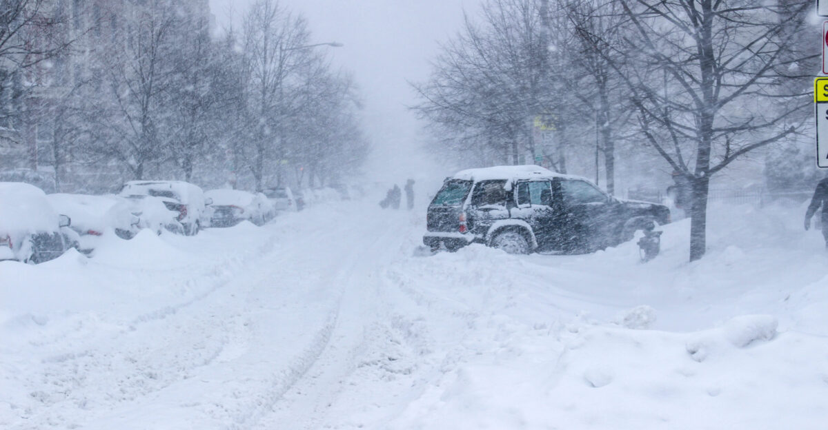
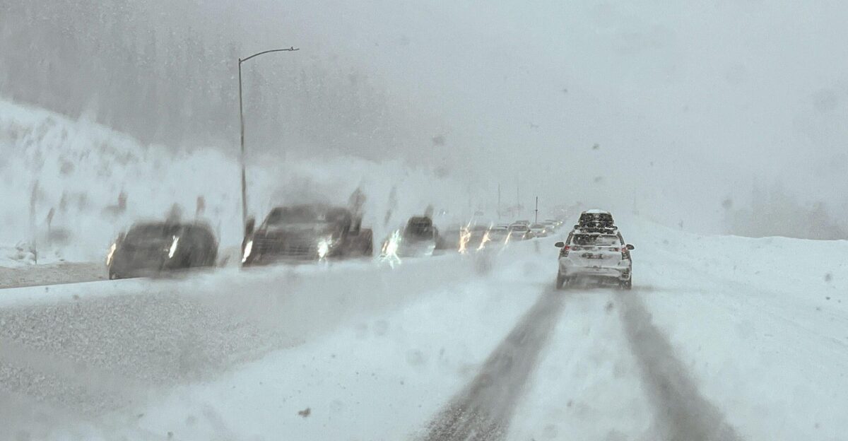
A powerful winter storm swept through Minnesota on Thursday, creating significant hazards across the state’s road network. Between 9 a.m. and 4 p.m., the Minnesota State Patrol documented 167 crashes during the seven-hour event. Of those incidents, 102 involved property damage, 10 resulted in injuries, and conditions deteriorated rapidly as the system moved through.
State troopers across multiple districts found themselves managing a steady volume of emergency calls as snow and wind combined to catch thousands of commuters in rapidly changing road conditions.
Crash Rate Averages 24 Per Hour During Peak Conditions
The frequency of collisions reached approximately 24 per hour during the afternoon peak. State Patrol data shows that accidents spread across the highway network wherever wind loosened snow on traveled surfaces. Visibility, rather than snow depth alone, proved to be the primary driver of incidents.
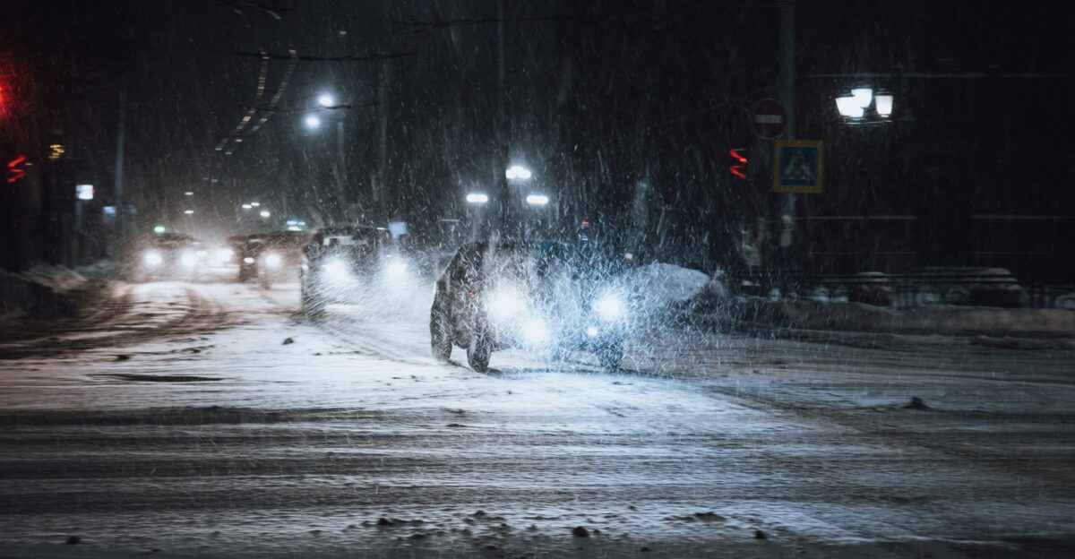
Drivers who began their commutes in manageable conditions found themselves in significantly reduced visibility within minutes, highlighting how rapidly road conditions can deteriorate once a winter system moves in.
No Travel Advisory
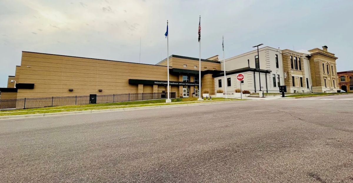
As conditions worsened, the McLeod County Sheriff’s Office issued a formal “no travel” advisory for the entire county at 4:30 p.m. Authorities determined that blowing snow and near-zero visibility made public roadways unsafe for all travel, including emergency response vehicles.
The advisory specifically noted that those who ventured out risked becoming stranded in areas where rescue times would be delayed due to hazardous conditions.
Interstate 35 at Highway 14 Closed
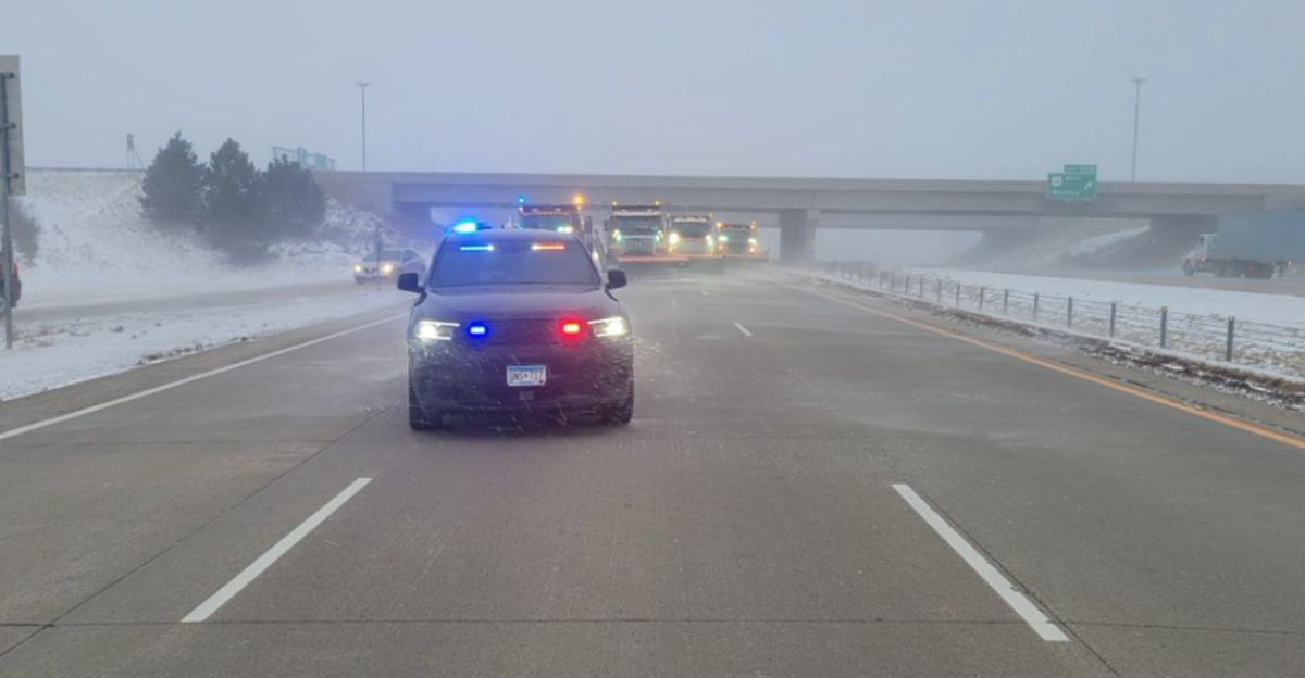
A section of Interstate 35 at Highway 14 in southern Minnesota was shut down completely after multiple crash incidents blocked the roadway. The closures resulted from high winds and blowing snow, creating whiteout conditions that made continued travel unsafe.
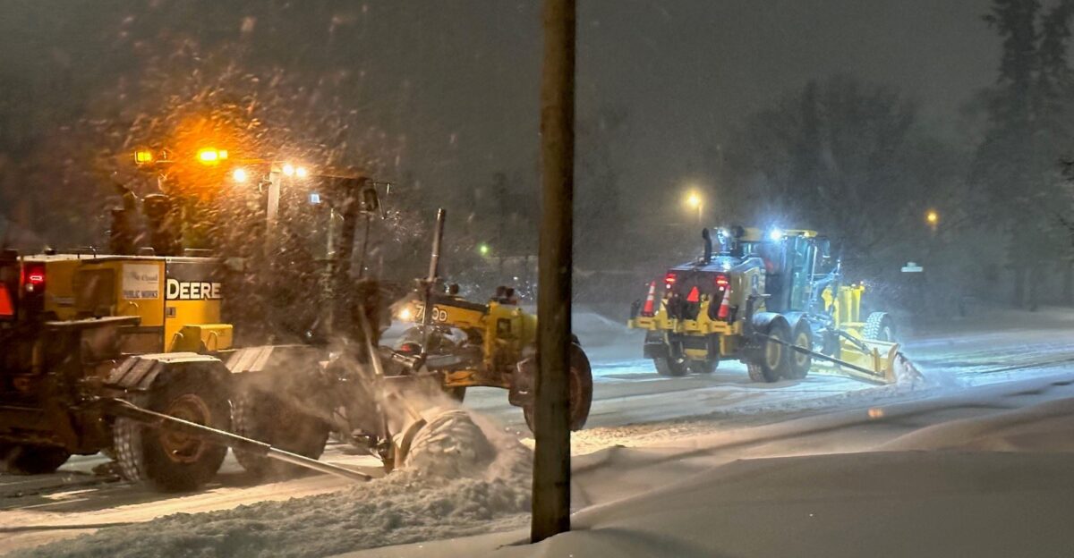
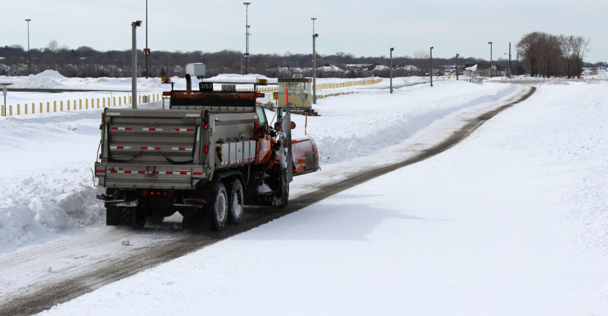
MnDOT crews worked in subzero wind chills to clear wreckage and debris, as major transportation corridors came to a standstill due to the concentration of accidents.
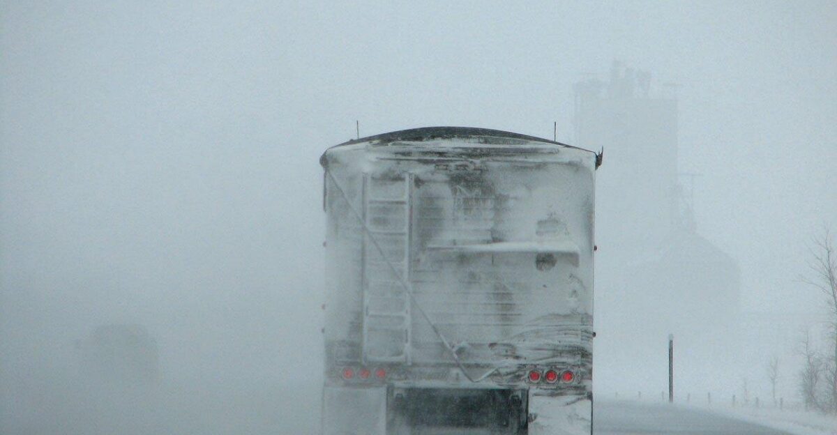
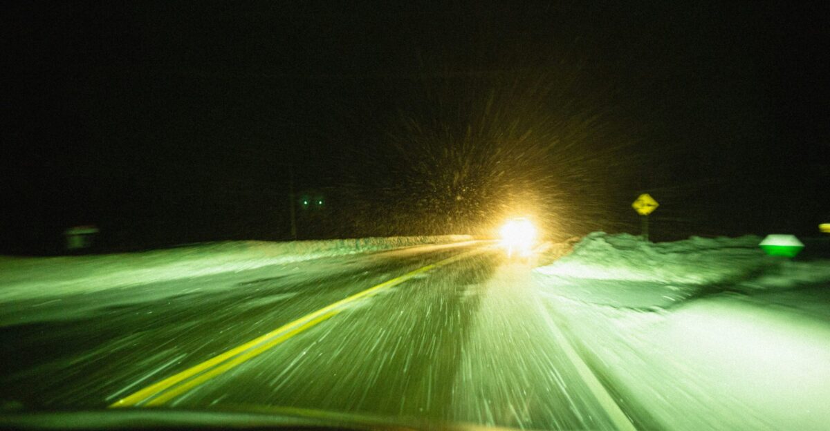
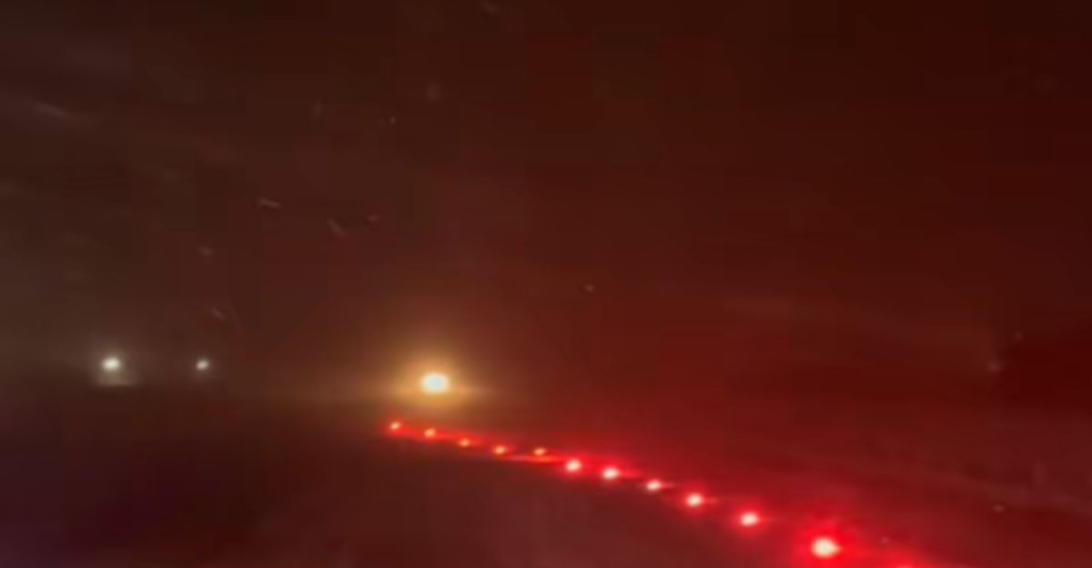
Visibility Drops to One-Tenth of a Mile

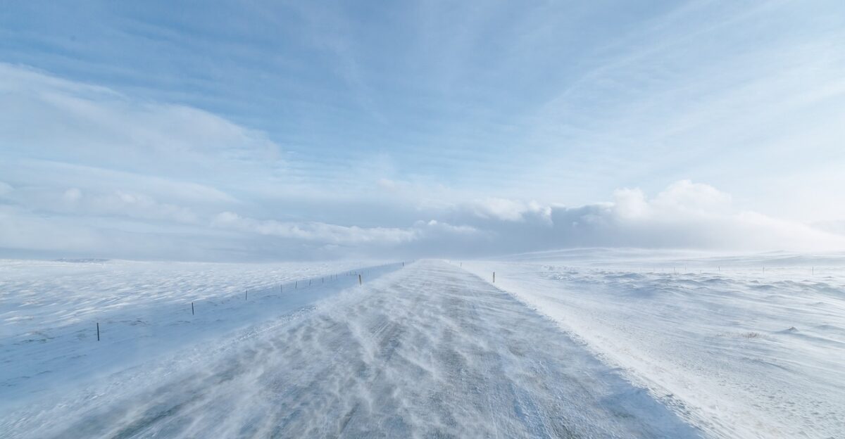
The most significant hazard was not the volume of snow accumulation but rather the severe reduction in visibility. The State Patrol reported that visibility dropped to less than one-tenth of a mile in southern Minnesota.
The open agricultural landscape allowed wind gusts to sweep snow across highways unimpeded.
Wind Gusts Reach 70 MPH, Creating Ground Blizzard Effect
Wind emerged as the most significant meteorological threat, with gusts reaching as high as 70 mph according to the FOX Forecast Center. These powerful winds whipped fresh snow into a “ground blizzard”—a phenomenon where wind-driven snow significantly reduces visibility while surface precipitation may be minimal.
Falling snow combined with high winds made it difficult for plows to maintain clear travel lanes, as drifts reformed within minutes of removal.
Twin Cities Experiences Flash Freeze
In the Minneapolis-St. Paul area, a specific weather hazard developed as temperatures fell rapidly from approximately 40 degrees in the morning to the teens by evening. This phenomenon, known as a “flash freeze,” occurs when temperatures drop suddenly from above freezing to well below freezing in a matter of hours.
The National Weather Service had issued a winter weather advisory specifically warning of this hazard, noting that the combination of rain-soaked pavement followed by rapid cooling would create icy conditions.
Three Jackknifed Semis
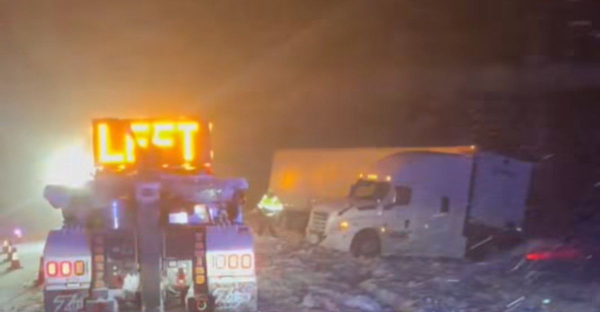
Commercial traffic encountered particular difficulty during the event, with State Patrol reporting three jackknifed semi-trucks during the seven-hour window. These large vehicles blocked multiple lanes, complicating efforts to maintain traffic flow and preventing plow operators from clearing affected sections.
The size and weight of commercial trucks made recovery operations time-consuming, even with heavy-duty equipment, which extended delays for stranded motorists.
Highways Closed as Visibility Reaches Zero
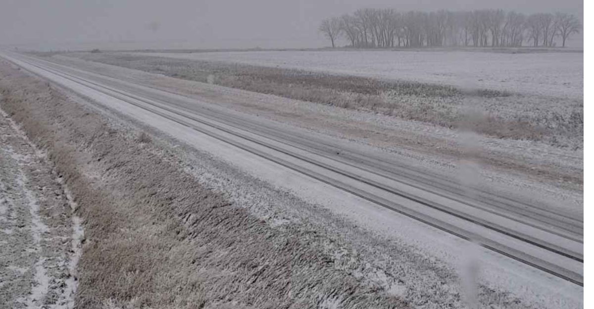
The impact was especially severe in northwestern Minnesota, where MnDOT closed several state highways by late morning. Closures, to name a few, included Highway 1 from the North Dakota border to Warren and Highway 2 from East Grand Forks to Crookston.
Transportation officials made these decisions based on reports indicating visibility had reached absolute zero—conditions where the distinction between roadway and ditch is essentially invisible.
Fifty Vehicles Slide Off Roadways
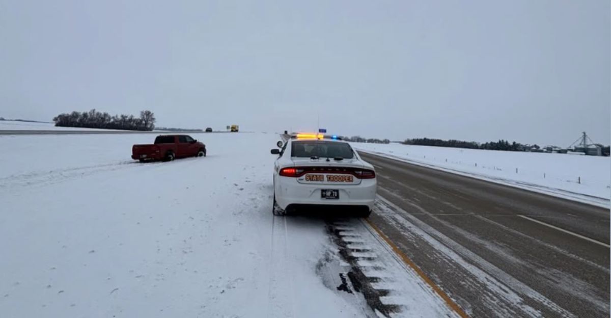
Beyond vehicle-to-vehicle collisions, State Patrol assisted 50 vehicles that slid off roadways during the afternoon event. The combination of ice and wind pushed cars into ditches and medians across multiple districts.
Many of these incidents occurred at highway speeds where drivers encountered patches of black ice—a thin, clear layer of frozen water that is difficult to detect visually—or lost spatial awareness in the whiteout conditions.
Ten Injury Crashes Reported
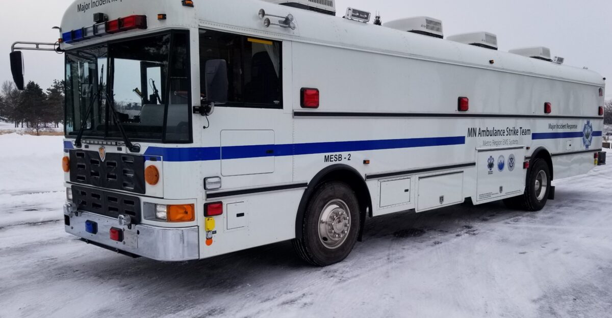
While the majority of incidents involved only property damage, 10 crashes resulted in injuries to occupants. Emergency medical services responded to these scenes under the same challenging conditions affecting the general public, navigating icy roads and low visibility to reach patients.
Coordination between law enforcement, ambulance services, and fire departments was required to extract patients and transport them to medical facilities.
Wind Advisory in Effect
The National Weather Service maintained a wind advisory from noon until 9 p.m. for much of southern and central Minnesota, with forecasts calling for sustained winds and gusts up to 45 mph in these areas. The advisory was intended to alert high-profile vehicle operators—such as trucks, trailers, and RVs—to heightened crosswind hazards.
Sustained winds throughout the afternoon and evening prevented snow from settling, keeping the air filled with blowing powder and maintaining reduced visibility well into the evening hours.
Blizzard Warning Issued for Northwestern Minnesota Counties
In the northwest, the National Weather Service upgraded weather alerts to a full blizzard warning that remained in effect until 6 p.m. This classification requires sustained winds or frequent gusts of 35 mph or greater combined with falling or blowing snow, reducing visibility to less than a quarter-mile.
The warning emphasized the life-threatening nature of travel conditions in counties like Polk and Kittson, where local law enforcement reported extreme difficulty in patrolling roadways safely.
MSP International Airport Issues Ground Stop
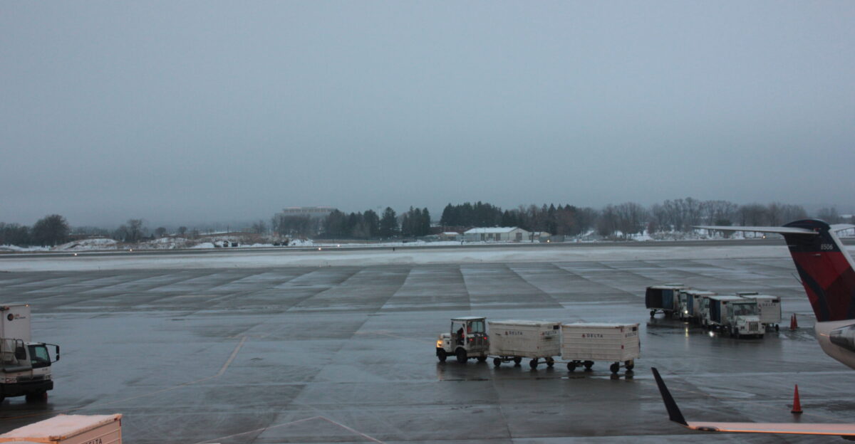
The storm’s impact extended to air travel operations. Minneapolis-St. Paul International Airport issued a ground stop around 6:15 p.m. as wind gusts between 35 and 40 mph reduced runway visibility to approximately one mile.
Air traffic controllers halted incoming flights, and ground crews worked continuously to treat runways for ice and snow accumulation.
Schools Across Western Minnesota Close

Recognizing the potential danger early, dozens of school districts in western and northwestern Minnesota canceled in-person classes or implemented remote learning days. Districts including Crookston, Thief River Falls, and Red Lake kept students at home.
Higher education institutions, such as Northland Community and Technical College, also temporarily suspended operations. These proactive decisions likely reduced the total number of vehicles on roadways during the most severe afternoon conditions.
Deep Cold Settles In
As the evening progressed, snow showers began to dissipate, with the system moving out by late night. However, the end of precipitation did not immediately improve road conditions. Temperatures continued to drop, falling below zero in many parts of the state overnight.
This deep cold solidified existing ice on roadways, ensuring that Friday morning commutes would remain hazardous despite improved visibility and reduced wind.
First Responders Navigate Extended Response Times
The severe weather created significant operational challenges for emergency response personnel. The Polk County Sheriff’s Office publicly noted that rescue and response times would be extended due to road conditions.
In several cases, deputies and tow operators had to move slowly to avoid becoming involved in accidents themselves, essentially adding to the workload. “No travel” advisories were issued partly to reduce the overall call volume and concentrate resources on the most critical situations.
Flash Freeze Locks Moisture into Ice Layer
As the cold front swept through midday, temperatures crashed nearly 30 degrees in a compressed timeframe. This rapid freezing locked moisture into a layer of ice that could not be easily removed by plow blades and was resistant to typical de-icing chemical applications.
MnDOT crews applied salt and brine solutions, but continuous blowing snow and extreme cold reduced their effectiveness.
High Crash Volume Strains Regional Emergency Response Resources
The total of 167 crashes in a seven-hour window represented a significant operational load for the Minnesota State Patrol to manage within a single shift. Dispatch centers worked to triage incoming calls, prioritizing those involving injuries and roadway blockages.
Resources from across multiple districts were activated to handle the volume of incidents, marking one of the more intense operational periods of the winter season.
Winter Preparedness Importance
Following the storm event, law enforcement and highway safety officials reiterated recommendations for winter preparedness. Drivers stranded for extended periods in vehicles highlighted the value of emergency kits.
Experts recommend carrying blankets, warm clothing, non-perishable food, and water in vehicles throughout the winter months. MnDOT advises drivers who become stranded in hazardous conditions to remain inside the car with seatbelts fastened and wait for professional rescue.
Sources:
Minnesota State Patrol Crash Data December 18, 2025 | FOX 9 Minneapolis-St. Paul
Minnesota Weather: Whiteout Conditions Lead to Over 100 Crashes | FOX 9 Minneapolis-St. Paul
Road Conditions Worsening Amid Snow, Wind | CBS Minnesota
Blizzard Conditions Lead to Near-Zero Visibility in Minnesota | Yahoo News
Ground Stop Issued at MSP Due to Weather Conditions | KSTP
Blizzard Warnings in Effect for Parts of North Dakota, Montana, Minnesota | Watchers.news