
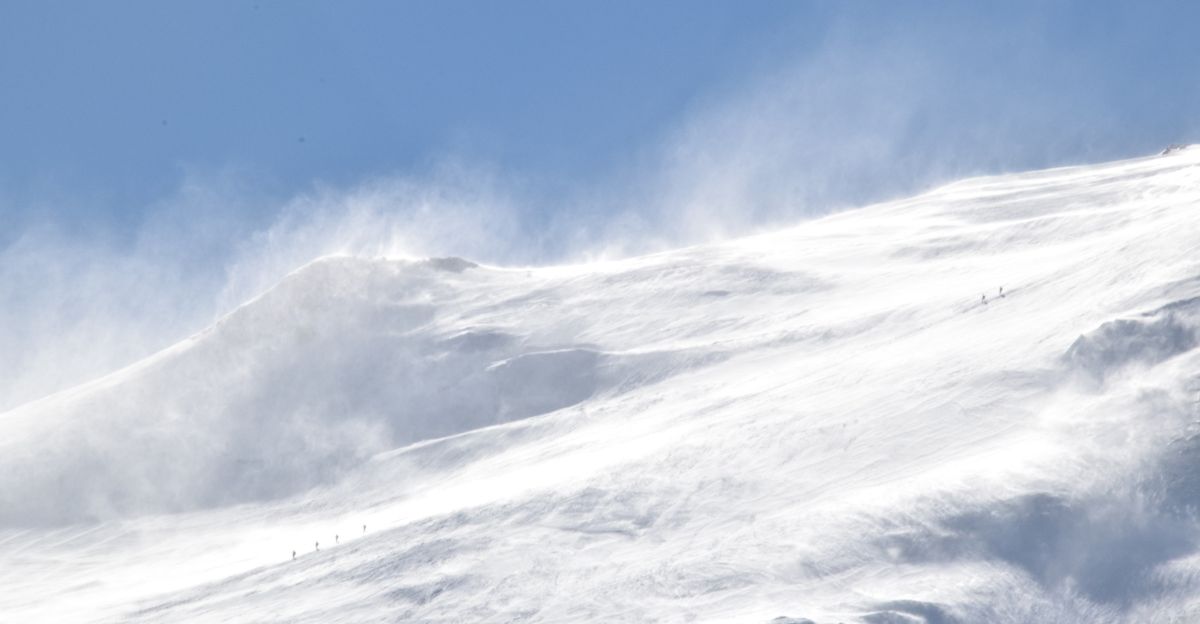
A disruption high above the North Pole is rewriting the rules of winter. Scientists tracking stratospheric warming have detected a significant weakening of the polar vortex, the ring of winds that usually keeps Arctic air locked away from populated regions.
This weakening, called a Sudden Stratospheric Warming event, is exceptionally rare and powerful. Over the next ten days, this shift will funnel unprecedented cold air southward, setting the stage for a winter pattern unlike recent years. The mechanism is unfolding in real time, with implications cascading downward into the atmosphere where millions live and travel daily.
A Month of Extremes
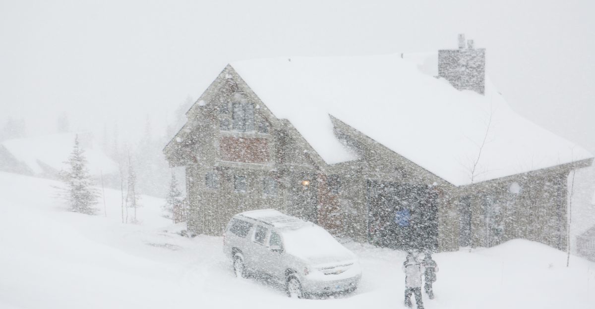
December 2025 is proving to be the coldest and snowiest month the region has experienced in years. Temperature anomalies indicate that most of the United States is running 15–30 degrees below normal, except in the Southwest.
A weakened polar vortex, paired with weak La Niña conditions in the Pacific, is driving frigid air southward, all the way to the Gulf Coast. Forecasters describe this as unprecedented for recent decades. While meteorologists predicted the unusual cold weeks in advance, the sheer intensity and timing caught many regions off guard as winter rapidly descended with fury.
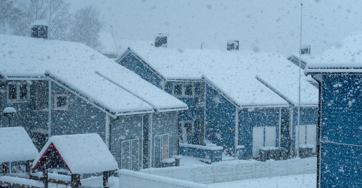
Lake Effect Escalation
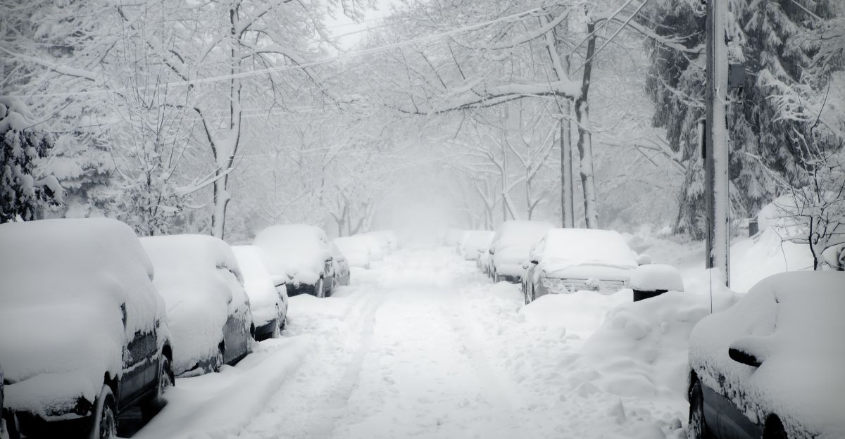
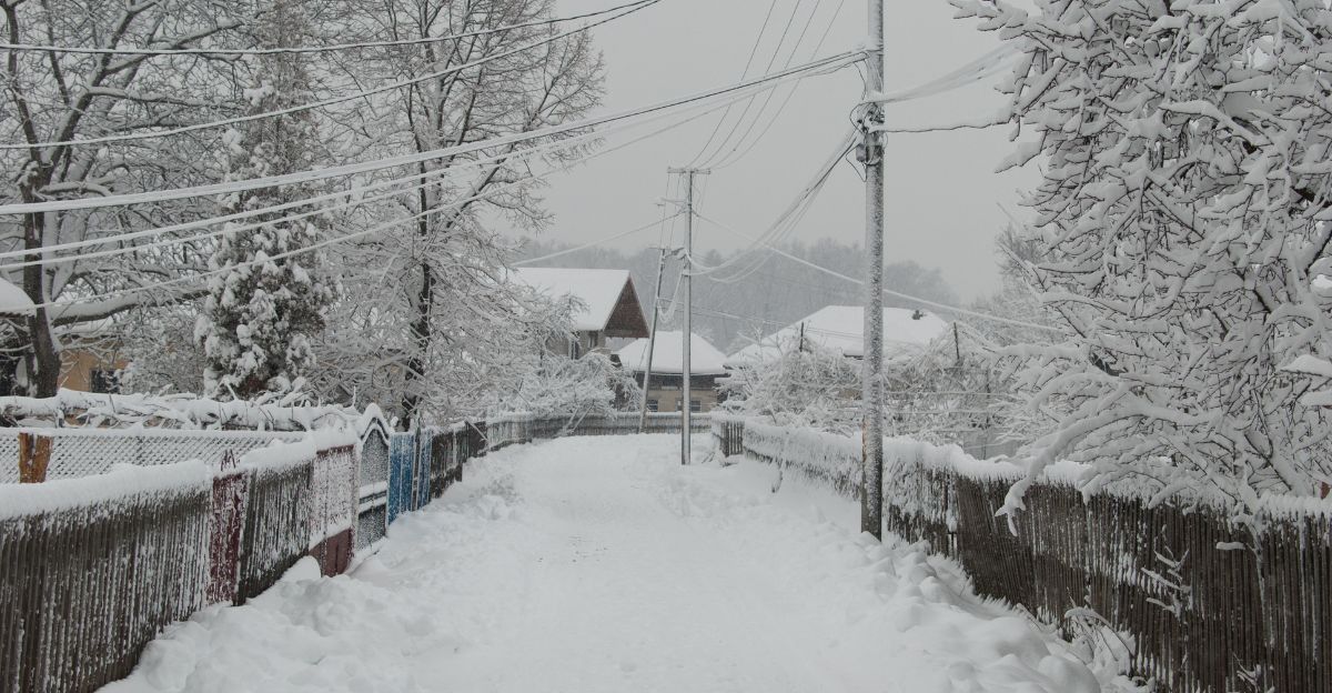
Before the December 14–15 storm arrived, the Northeast was already buried under feet of lake-effect snow. From late November through early December, the Great Lakes regions downwind saw accumulations exceeding six feet. Erie, Pennsylvania, broke its November record on November 29 with 22.6 inches, the most since 1893.
Perrysburg, New York, reported 30.6 inches on November 30, shattering a 22-year record. Warm lake temperatures contrasted sharply with frigid Arctic air, producing historic lake-effect bands that buried the region, preparing residents for even greater challenges ahead.
Interstate Anxiety

By December 13, emergency management agencies across the Northeast braced for impact. Governor Phil Murphy declared a state of emergency for five northern New Jersey counties. Pennsylvania interstates saw pre-emptively lowered speed limits. Hospitals stockpiled supplies. Road crews staged salt and sand reserves.
The National Weather Service issued Winter Storm Warnings and Advisories for multiple states, signaling that this was not a routine but a significant and disruptive event. Travel warnings escalated from caution to strong discouragement as the coastal low-pressure system redeveloped off the Delmarva Peninsula.
Five States Under Alert
On December 14–15, 2025, the National Weather Service issued official winter storm warnings for Pennsylvania, New Jersey, West Virginia, Maryland, and Alaska. These weren’t scattered advisories; they were urgent alerts. Pennsylvania was expected to face up to 12 additional inches of snow, with wind gusts reaching 45 mph.
New Jersey braced for 4–6 inches. Maryland’s Western Garrett County is expected to receive 4–10 inches. West Virginia received warnings for multiple regions. Alaska’s Hyder faced 11–15 inches, with some forecasts predicting up to 22 inches. This five-state coordination represented a single, formidable weather threat of significant scale.
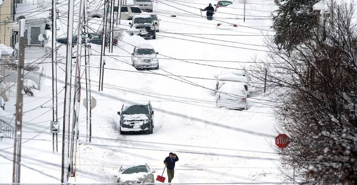
Pennsylvania’s Heaviest Hit
Western Pennsylvania bore the brunt. Westmoreland County, which includes parts of the Pittsburgh metro, was identified as the hardest-hit area. Wind gusts of 35–45 mph whipped fresh snow into deep drifts, reducing visibility to near-zero.
Northwestern Pennsylvania faced an additional complication: lake-effect snow bands adding 2–3 inches, with isolated reports of 4–5 inches beyond the central system. Schools announced closures. Highways posted speed reductions. The combination of heavy snow, wind, and lake-effect bands created a compounding crisis for millions of residents in the Pittsburgh region and surrounding counties.
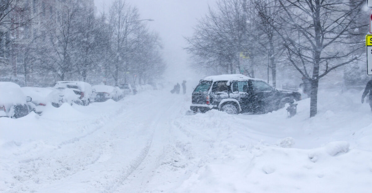
Human Cost on the Road
By dawn on December 14, weather-related fatalities mounted. A 20-year-old man was killed in a crash on Long Island’s Southern State Parkway, attributed to wintry conditions. Additional fatalities were confirmed across the region. The National Weather Service recorded at least 1,000 flight delays and over 100 cancellations at major regional airports.
Pennsylvania State Police responded to hundreds of accidents and spin-outs. Indiana State Police helped 81 stranded motorists and reported over 315 crashes and slide-offs. Families trapped on frozen highways created an unfolding crisis, with rescue crews struggling to manage the chaos.
Infrastructure Under Strain
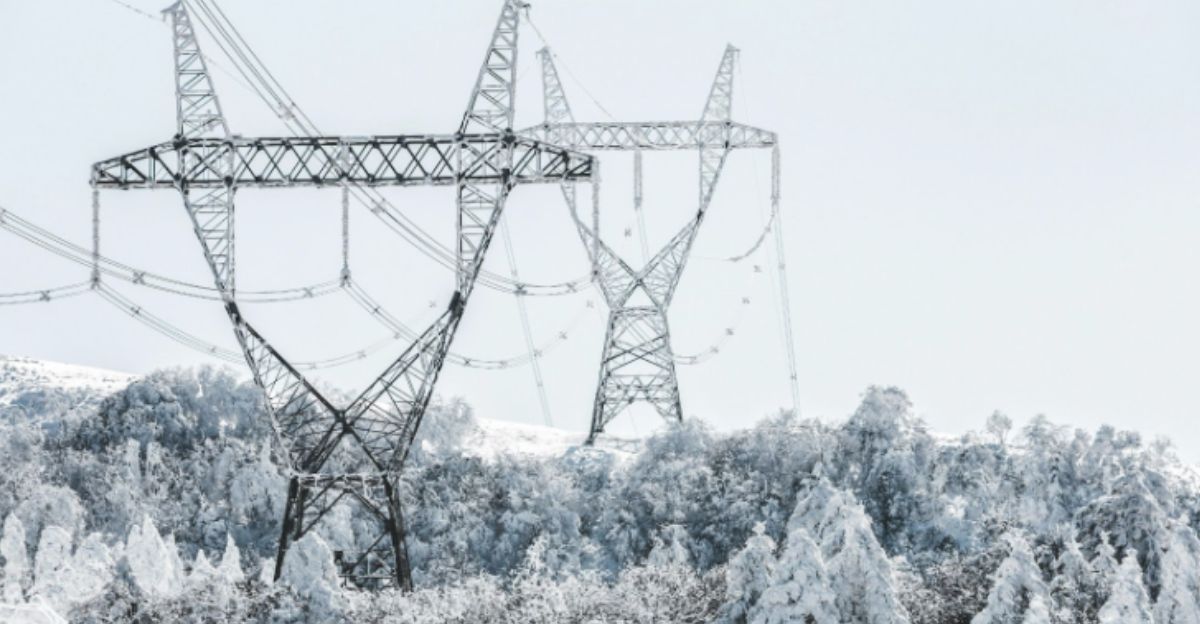
Power grids failed under the weight of demand and weather stress. In Mercer County, New Jersey alone, at least 2,000 residents lost power. Kennedy International Airport in New York set a daily snowfall record with 4.6 inches, overwhelming de-icing operations. Perrysburg, New York, recorded 23.7 inches, nearly two feet.
Utility companies faced simultaneous pressures: unprecedented snowfall slowing plow operations, downed power lines from heavy snow, and heat demand spikes as temperatures plummeted. Regional energy grids managed demand, but with narrow margins of safety, highlighting how climate extremes stress systems designed for historical norms.
An Affected Nation
The December 14–15 storm’s impact radiated far beyond the five primary warned states. Approximately 60 million people across multiple states faced various winter storm warnings and cold weather advisories. The Midwest experienced extreme cold watches from Minnesota to Missouri, with lows approaching −22 °F.
The Ohio Valley saw multiple feet of snow and severe travel disruptions. Virginia, North Carolina, and the Southeast regions faced cold weather advisories. This continental-scale winter pattern made the December 14–15 coastal storm the headline act in a larger Arctic intrusion affecting the entire eastern half of the nation.
Education Disrupted
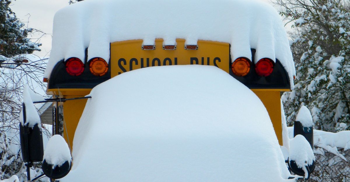
Schools across five primary states announced closures and delays for December 15. Pennsylvania, New Jersey, New York, and Maryland shut down thousands of buildings simultaneously, affecting millions of students. Remote-learning infrastructure strained under demand. Parents scrambled for childcare solutions.
The cumulative disruption posed hidden costs: disrupted academic calendars, accelerated heating costs, and psychological strain from missing weeks of in-person instruction. Beyond the immediate snow day, this freezing and snowy December pattern highlighted how extreme weather impacts communities nationwide, affecting vulnerable populations and educational equity.
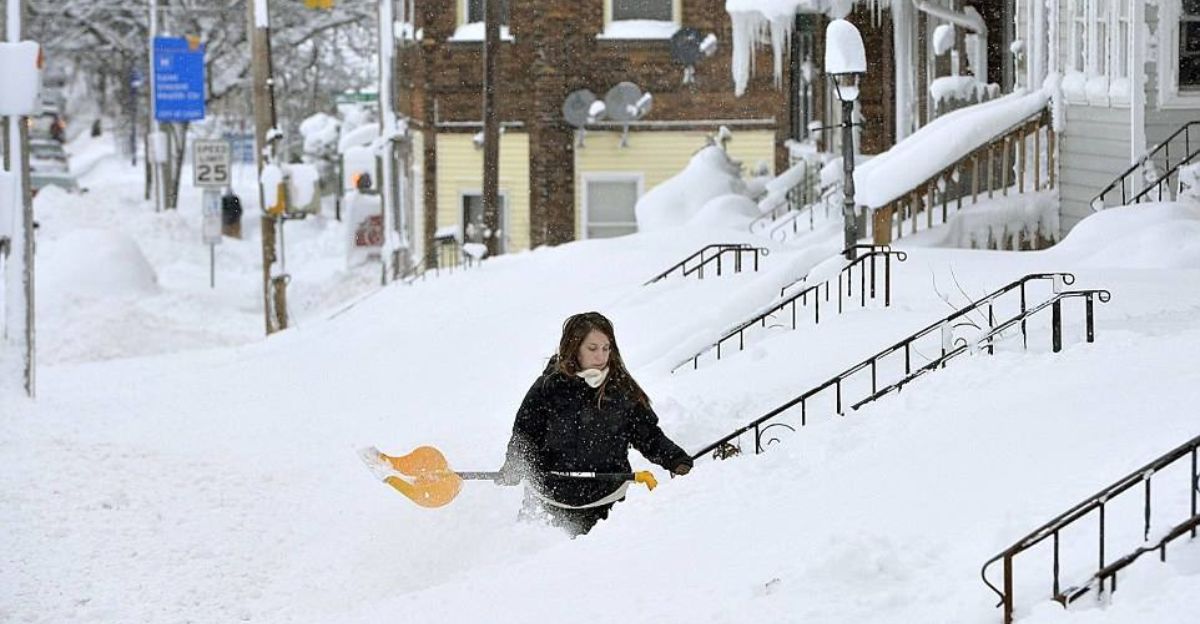
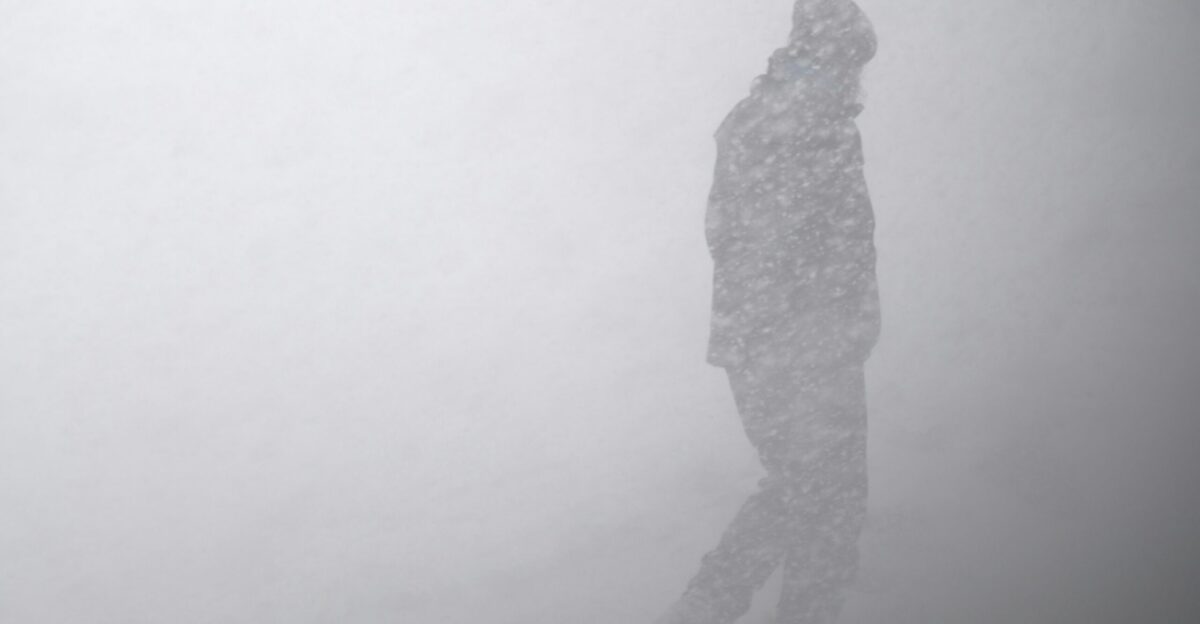
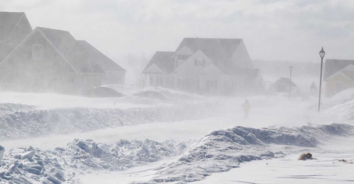
The Safety Directive: Stay Indoors
The National Weather Service in Pittsburgh issued an explicit and urgent statement: “Persons are urged to stay indoors until conditions improve.” The guidance specified dress protocols: “If you must go outside, dress in layers. Several layers of clothes will keep you warmer than a single heavy coat.” Frostbite warnings were active across the region.
Wind chills dipped into single digits and below zero across Pennsylvania and Maryland. Hypothermia risk was immediate. Officials in New Jersey urged residents to avoid non-essential travel. The urgency was unmistakable and widely interpreted as a de facto shelter-in-place directive.
The “Orders” Question
The language of “orders” in headline coverage reflects the severity of NWS warnings. However, technically, the National Weather Service uses advisory language, such as “urged,” “warned,” and “advised,” rather than legally binding commands. This distinction carries little practical meaning for residents facing near-zero visibility, 45 mph winds, and sub-zero chills.
The official guidance’s intensity, coupled with power failures, road closures, and police discouraging travel, effectively functioned as a de facto emergency order. Schools and businesses closed. Highways saw posted warnings. Emergency declarations were triggered in multiple counties. When the alternative to compliance is life-threatening danger, the distinction becomes semantic.
Population Under Alert: 9.67 Million
The five states under winter storm warnings on December 14–15 contained approximately 9.67 million residents in affected regions. Pennsylvania’s western and elevated areas accounted for roughly 3.55 million people. New Jersey’s central, northern, and southern areas were affected by approximately 5.29 million.
West Virginia’s warned zones included approximately 796,000 residents. Maryland’s Western Garrett County is home to approximately 30,000 people. Alaska’s Hyder region held approximately 2,500 residents. This cumulative figure dwarfs most natural disasters covered in a single news cycle, representing a national-level emergency compressed into 48 hours.
Cold Pattern Persists
The December 14–15 storm was not an isolated event but a symptom of a deeper winter pattern. Forecasters indicated Arctic high pressure would linger across the Midwest and Northeast through December 16 and beyond. Extreme cold warnings remained in effect into the following week.
Temperatures well below normal were forecast to persist into mid-to-late December, although a milder spell was expected by the end of the month. These persistent days or weeks of below-normal temperatures and frequent snow systems distinguish this December from typical single-storm events. Long-range forecasts suggested that additional winter weather systems could develop before the end of the month.
The Reckoning Ahead
As the December 14–15 storm cleared, infrastructure and climate policy experts faced an unavoidable question: How prepared are regions built for historical norms to handle extreme winter variability? The polar vortex disruption is linked to broader climate patterns. While this event brought record snowfall and bitter cold, underlying atmospheric mechanisms remain unpredictable.
Did regional investments in salt stockpiles, equipment, and emergency protocols prove adequate, or did this reveal gaps? Will this December mark a turning point in winter preparedness, or remain a footnote in a season of extremes? These questions linger as communities begin recovery.
Sources:
Wikipedia: December 13–15, 2025 North American Winter Storm
CNN: A Polar Vortex Disruption Is On The Way
Severe-Weather.eu: Winter 2025/2026 Final Forecast
USA Today: First Big Snow Storm to Hit US as Polar Vortex Sends Bitter Cold
NPR: Major Winter Storm Pummels the Northeast with Ice and Snow
Climate.gov: Record-Breaking Lake Effect Snow Arrives as Winter Starts