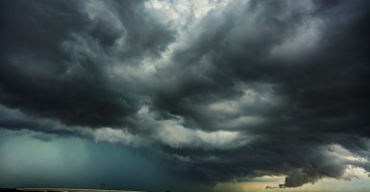
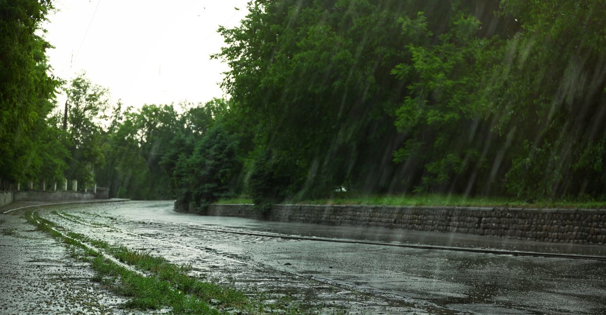
The sky over Washington and Oregon is dark, heavy with moisture. As night falls on December 11, 2025, the rivers surge—violently, relentlessly. By the time morning arrives, the Snoqualmie, Skagit, and Stillaguamish rivers have already reached dangerous levels.
The National Weather Service has issued urgent flood warnings across two states, urging thousands to move to higher ground now. Homes and roads are submerged as rescue teams rush to the scene. What made these rivers rise so fast? What’s coming next?
Why the Rivers Rose So Fast
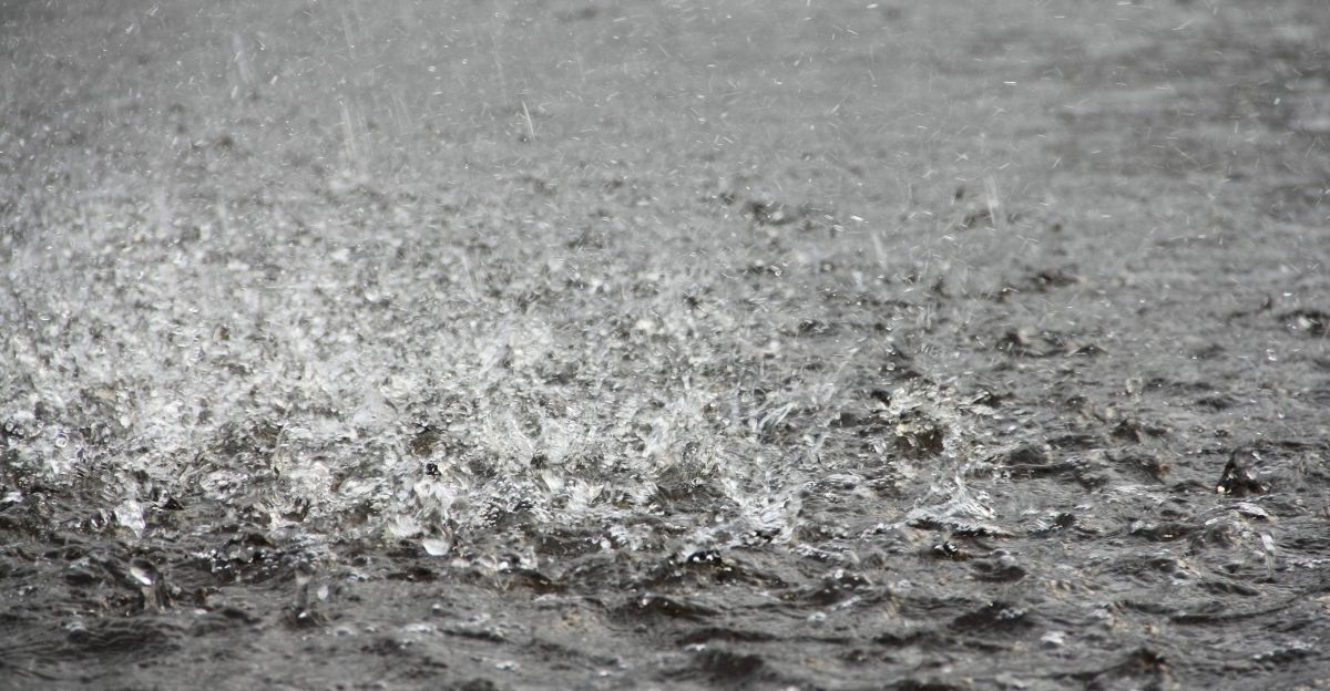
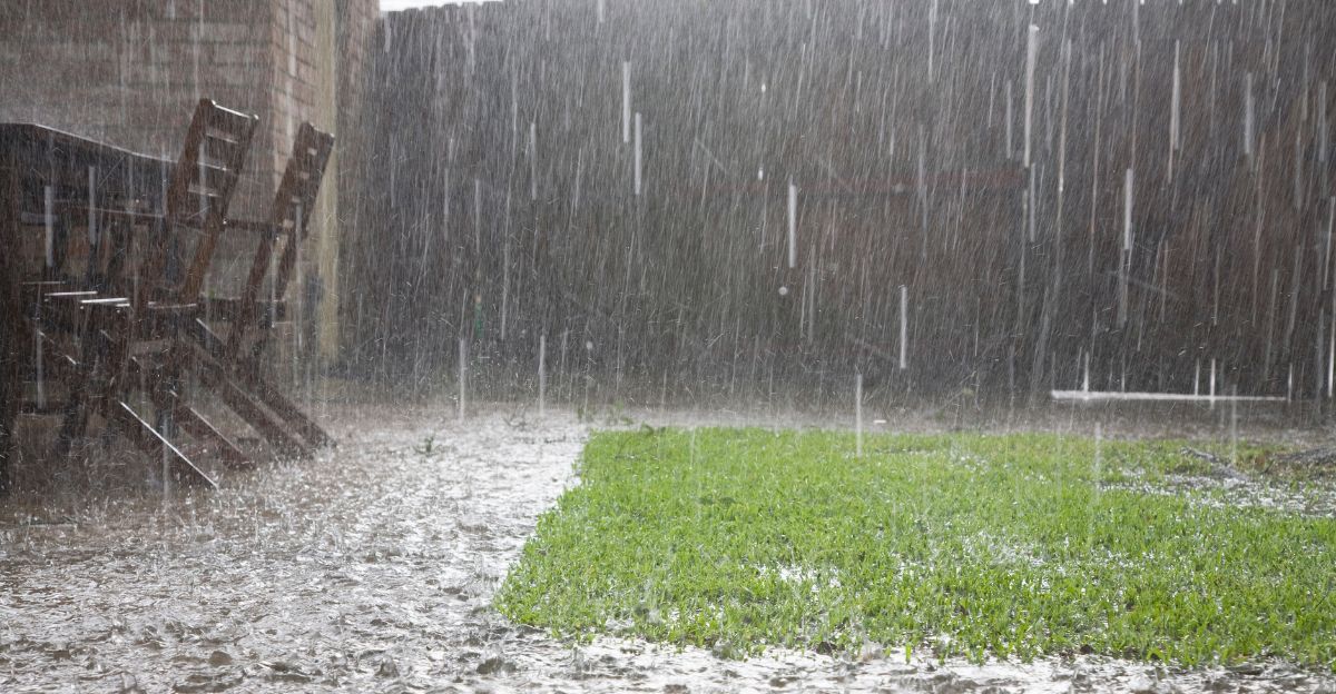
An atmospheric river brought days of warm, moisture-laden air to the region, saturating the ground and rapidly increasing water flow in several rivers. Major rivers like the Stillaguamish, Snoqualmie, and Skagit reached near-record levels in under 24 hours.
The Stillaguamish River at Arlington is expected to reach 20.7 feet—a near-record level. These intense storms, which struck just before the holidays, left little time for residents to prepare for the rising water.
Record-Breaking River Levels

The Snoqualmie River near Snoqualmie Falls is forecast to reach 76,000 cubic feet per second (cfs), causing severe near-record flooding downstream through Fall City. The Snohomish River near Monroe is expected to approach the flood of record at nearly 25 feet, while the Snohomish River at Snohomish could rise over 33 feet Thursday night, flooding much of the river valley.
The Skagit River near Mt. Vernon is expected to rise to just over 41 feet by Friday morning. These measurements reflect the unprecedented intensity of this atmospheric river event.
Evacuations and Shelters
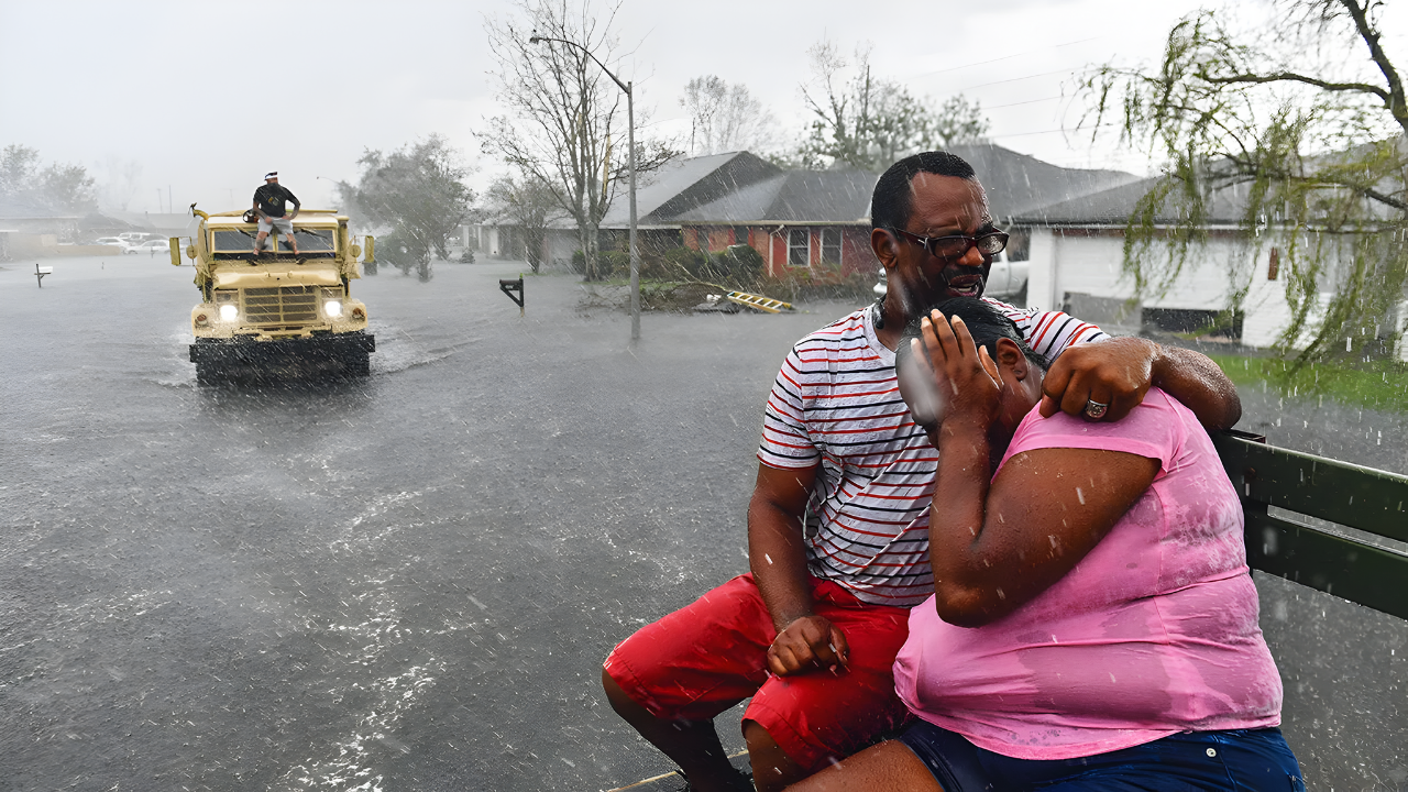
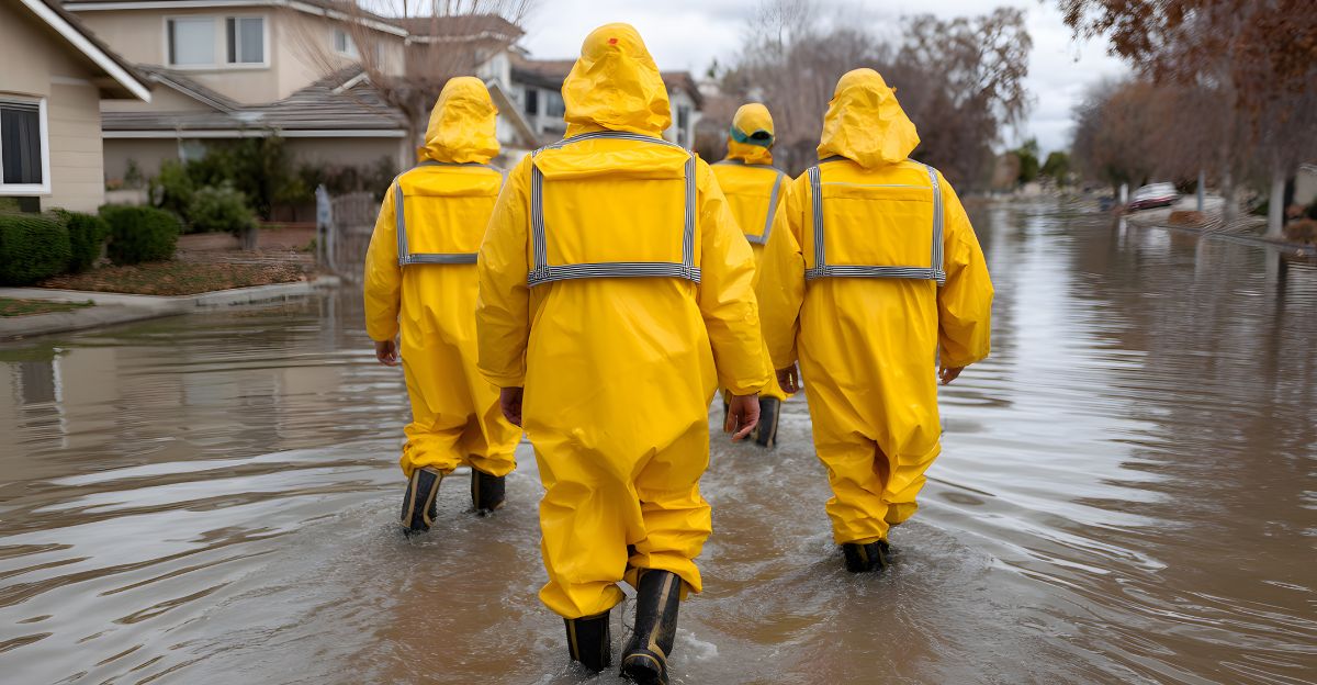
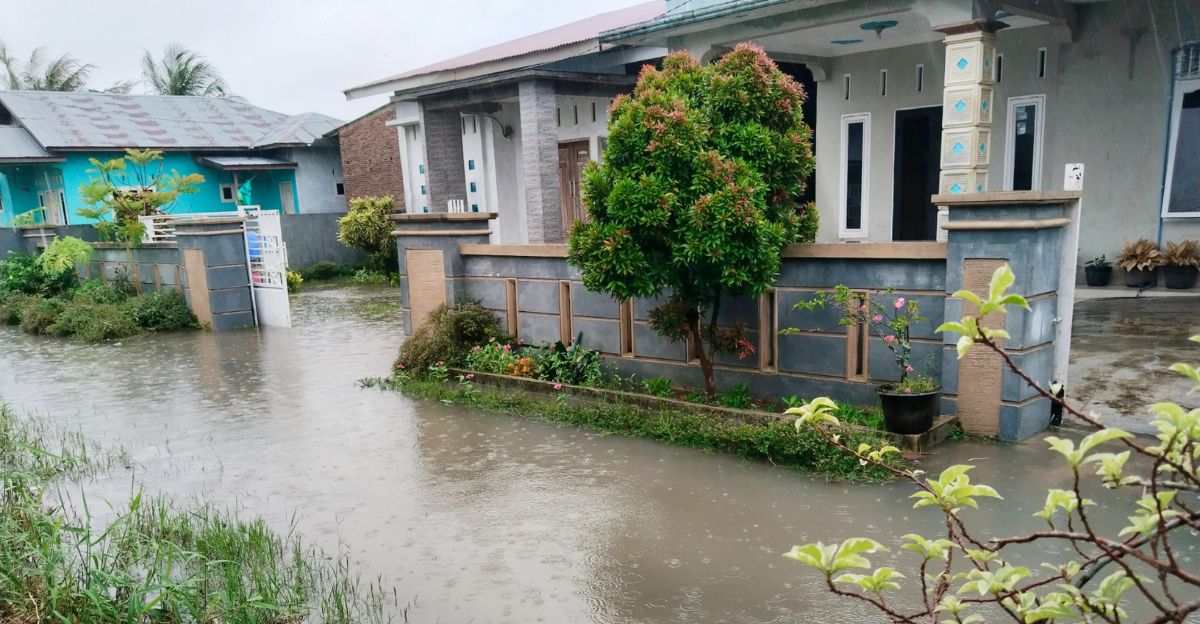
In Snohomish, Skagit, King, and Lewis counties, residents faced mandatory evacuations as water flooded homes and roads. Swiftwater rescues were reported as vehicles stalled in rising water.
In towns like Arlington, Carnation, and Randle, people moved into emergency shelters, while others sought refuge with family. This disruption affected daily life, including work, school, and medical appointments, across western Washington and northwest Oregon.
Highway Closures and Road Danger

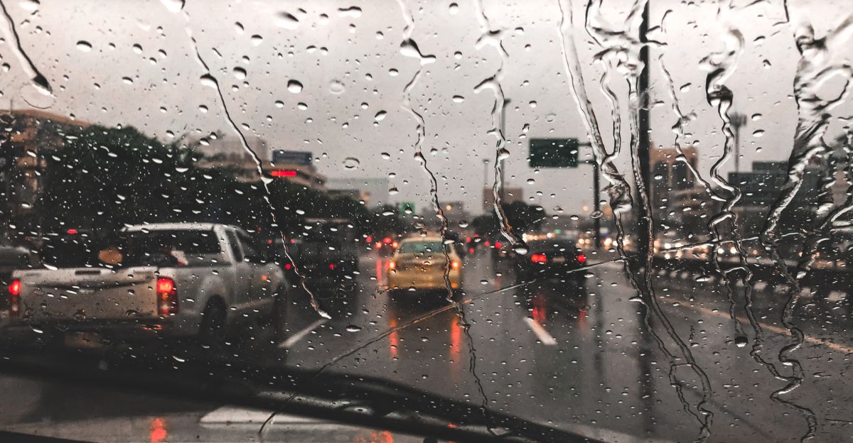
Local governments worked quickly to close roads and secure infrastructure. Highway 530 and Highway 12 became impassable as water overtopped the pavement, and the surrounding areas flooded.
Valley roads downstream of I-5 to Stanwood and major routes through flood-prone areas were cut off. The rapidly rising waters made even secondary roads dangerous, trapping residents and blocking emergency access routes in some areas.
Additional Rivers Under Threat

Beyond the major rivers, numerous other systems experienced severe flooding. The Skykomish River near Gold Bar was expected to rise to just over 24 feet, with water levels above 22 feet flooding many homes and covering much of the farmland.
The Cowlitz River at Randle was forecast to rise to 24 feet overnight Wednesday. The Cedar River near Renton could rise over 17 feet Thursday morning, causing major flooding at the Renton airport and surrounding neighborhoods.
Supply Chain Disruptions

Farmers and businesses along the Skagit and Snohomish river valleys faced significant losses as floodwaters inundated fields and warehouses.
Road closures slowed freight between major cities like Seattle, Everett, and Bellingham, causing delays in shipments and regional produce distribution. These disruptions would result in higher costs for consumers and delayed supplies in stores across the region.
Impact on Ports and Logistics

Secondary roads connecting ports and rail yards faced closures, slowing down shipments of essential goods. The critical connections between inland areas and the ports of Seattle and Tacoma were compromised by flooded feeder roads.
This caused ripple effects throughout the supply chain, disrupting both imports and exports across the Pacific Northwest during a critical pre-holiday season.
The Human Cost
Farmers and small-town workers struggled as they faced property damage and crop losses. In rural areas, many residents were cut off by rising water, relying on first responders for rescue. Local businesses shut down, leaving workers without pay.
The fast-rising waters forced some to evacuate without warning, underscoring the unpredictable and severe nature of the flood event. Livestock and farm equipment were endangered as floodwaters spread across agricultural lands.
Official Response and Emergency Declaration
Governor Bob Ferguson declared a state of emergency as the National Weather Service issued flood warnings across the region. Governor Ferguson warned that up to 100,000 Washingtonians could face evacuation orders as the atmospheric river continued to impact the state.
Emergency management teams mobilized across multiple counties, coordinating evacuation efforts and opening shelters for displaced residents.
National Weather Service Warnings
The NWS issued urgent warnings about the dangers of swift-moving floodwaters. The agency emphasized that even six inches of fast-moving water can knock someone off their feet, and a depth of two feet will float a car.
Officials stated: “Even 6 inches of fast-moving flood water can knock you off your feet and a depth of 2 feet will float your car. Never try to walk, swim, or drive through such swift water.” Authorities encouraged the public to stay informed, report flooding, and follow evacuation orders.
Health and Safety Risks
Saturated neighborhoods presented health risks such as mold and potential waterborne disease exposure. Families were urged to take precautionary measures, like keeping important documents in waterproof containers and preparing emergency kits.
The NWS continued to stress the importance of following evacuation routes and avoiding driving through floodwaters, which can be deceptively dangerous. Medical facilities in flood-prone areas also prepared contingency plans for potential evacuations.
Statewide Scope of the Crisis
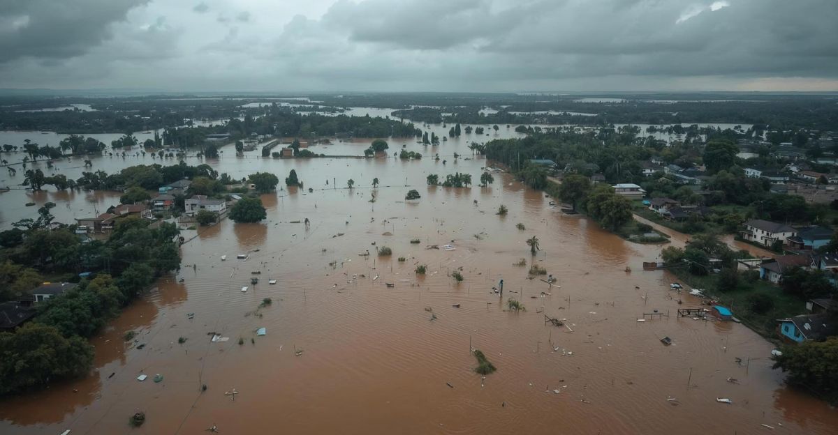
Multiple river systems across Washington and Oregon remained at major or moderate flood stage on December 11, 2025.
Beyond the Snoqualmie, Skagit, and Snohomish systems, numerous other rivers experienced significant flooding, including the Puyallup River near Orting (forecast to reach 19,500 cfs), the Skookumchuck River near Bucoda (expected to reach 214 feet, flooding surrounding homes and submerging roads), and the South Fork Nooksack River at Saxon Bridge, where residents in Acme were warned flooding would likely impact farms, homes, and roads. Some water levels were expected to remain elevated through Sunday.
Economic and Infrastructure Damage

Flooding in major river valleys would result in expensive repair bills for state departments of transportation and homeowners. Infrastructure damage included damaged bridges, eroded embankments, and compromised utility systems.
Communities along these rivers would face challenges in recovery and rebuilding. State emergency management officials warned that the full extent of damage would not be known until floodwaters receded and assessment teams could evaluate affected areas.
Preparing for Future Atmospheric Rivers
As atmospheric river events become more frequent in the Pacific Northwest, residents in flood-prone areas are urged to check their flood insurance coverage and review evacuation plans. The NWS recommends parking cars on higher ground and keeping a go-bag packed with essentials.
Local leaders faced increasing pressure to protect flood-prone communities through infrastructure improvements and better land-use planning. Families must prepare for rapidly rising waters, especially given how quickly rivers in Washington and Oregon can reach dangerous levels during atmospheric river events.
Sources:
“National Weather Service Flood Warning Summary.” National Weather Service, 11 Dec 2025.
“Washington State Braces for Dangerous Flooding as Thousands Could Face Evacuation Orders.” CBS News, 11 Dec 2025.
“‘Catastrophic’ Pacific Northwest Floods Leaves 100,000 Facing Evacuation.” NBC News, 11 Dec 2025.
“Live: Flooding in WA’s Skagit, Snohomish Rivers Prompt Evacuations and Road Closures.” The Seattle Times, 11 Dec 2025.